Index of /aeris/eurec4a-data/FORECASTS/GLOBAL/ARPEGE/2019/20191211/map2D
Name
Last modified
Size
Parent Directory
-
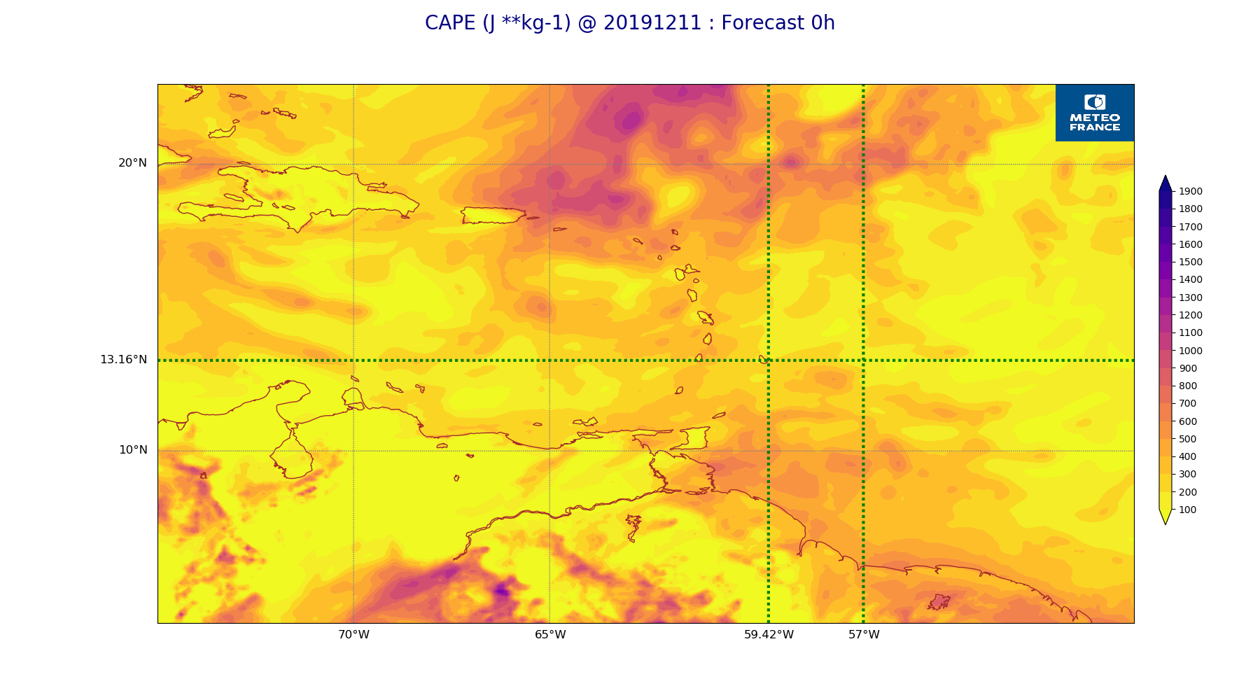
ARPEGE_map2D_CAPE_20191211_fct_0.png
2019-12-12 18:31
256K
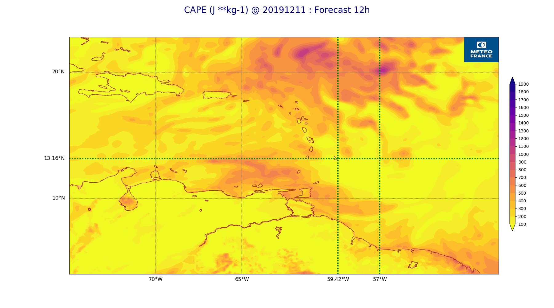
ARPEGE_map2D_CAPE_20191211_fct_12.png
2019-12-12 18:31
241K
ARPEGE_map2D_Cum_1h_RAIN_20191211_fct_0.png
2019-12-12 18:29
150K
ARPEGE_map2D_Cum_1h_RAIN_20191211_fct_12.png
2019-12-12 18:29
196K
ARPEGE_map2D_Fraction_cloud_cover_200hPa_20191211_fct_0.png
2019-12-12 18:25
161K
ARPEGE_map2D_Fraction_cloud_cover_200hPa_20191211_fct_12.png
2019-12-12 18:25
294K
ARPEGE_map2D_Fraction_cloud_cover_500hPa_20191211_fct_0.png
2019-12-12 18:25
161K
ARPEGE_map2D_Fraction_cloud_cover_500hPa_20191211_fct_12.png
2019-12-12 18:25
514K
ARPEGE_map2D_Fraction_cloud_cover_700hPa_20191211_fct_0.png
2019-12-12 18:25
161K
ARPEGE_map2D_Fraction_cloud_cover_700hPa_20191211_fct_12.png
2019-12-12 18:25
565K
ARPEGE_map2D_Fraction_cloud_cover_850hPa_20191211_fct_0.png
2019-12-12 18:25
161K
ARPEGE_map2D_Fraction_cloud_cover_850hPa_20191211_fct_12.png
2019-12-12 18:25
713K
ARPEGE_map2D_Fraction_cloud_cover_925hPa_20191211_fct_0.png
2019-12-12 18:25
161K
ARPEGE_map2D_Fraction_cloud_cover_925hPa_20191211_fct_12.png
2019-12-12 18:25
691K
ARPEGE_map2D_Geopotential_0_7_PVU_20191211_fct_0.png
2019-12-12 18:27
196K
ARPEGE_map2D_Geopotential_0_7_PVU_20191211_fct_12.png
2019-12-12 18:27
198K
ARPEGE_map2D_High_CC_sup_450hPa_20191211_fct_0.png
2019-12-12 18:28
167K
ARPEGE_map2D_High_CC_sup_450hPa_20191211_fct_12.png
2019-12-12 18:28
292K
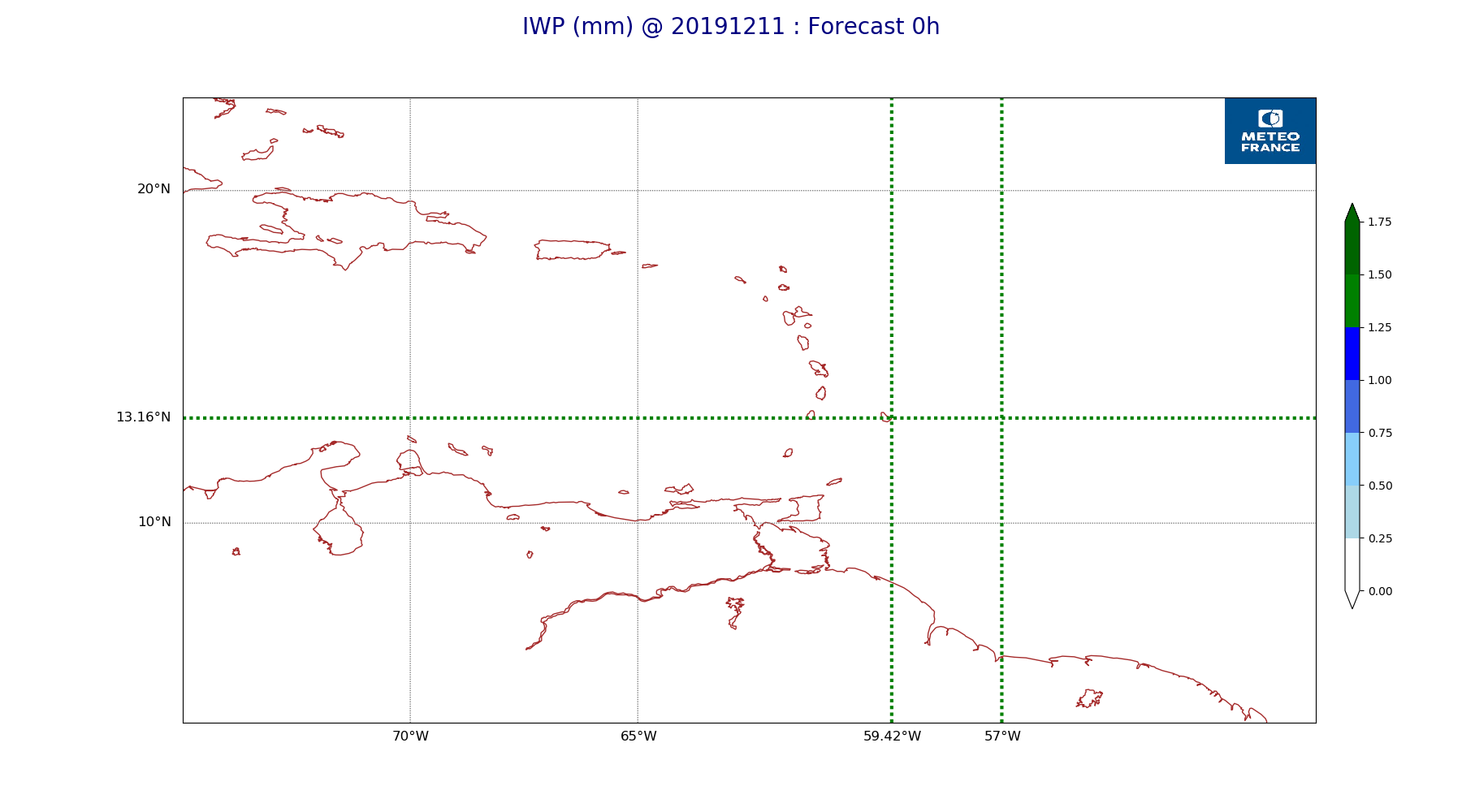
ARPEGE_map2D_IWP_20191211_fct_0.png
2019-12-12 18:30
150K
ARPEGE_map2D_IWP_20191211_fct_12.png
2019-12-12 18:31
150K
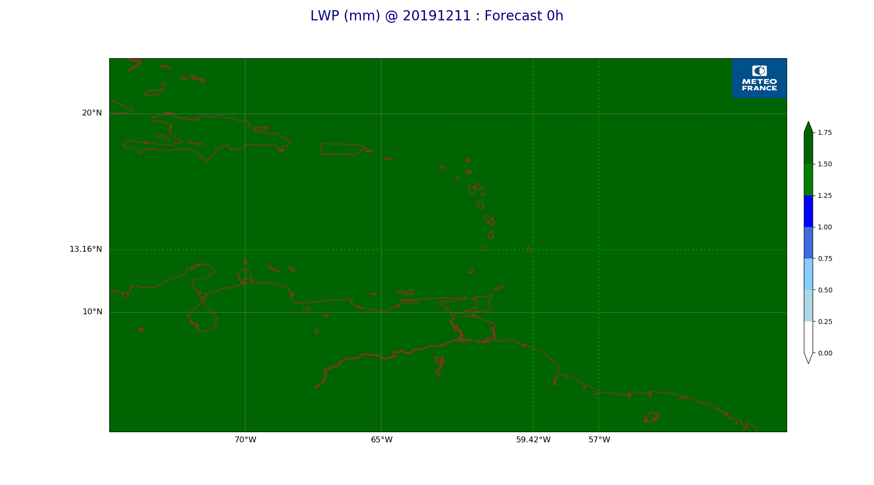
ARPEGE_map2D_LWP_20191211_fct_0.png
2019-12-12 18:30
140K
ARPEGE_map2D_LWP_20191211_fct_12.png
2019-12-12 18:30
140K
ARPEGE_map2D_Low_CC_inf_785hPa_20191211_fct_0.png
2019-12-12 18:28
166K
ARPEGE_map2D_Low_CC_inf_785hPa_20191211_fct_12.png
2019-12-12 18:28
405K
ARPEGE_map2D_Mid_CC_785_450hPa_20191211_fct_0.png
2019-12-12 18:28
167K
ARPEGE_map2D_Mid_CC_785_450hPa_20191211_fct_12.png
2019-12-12 18:28
526K
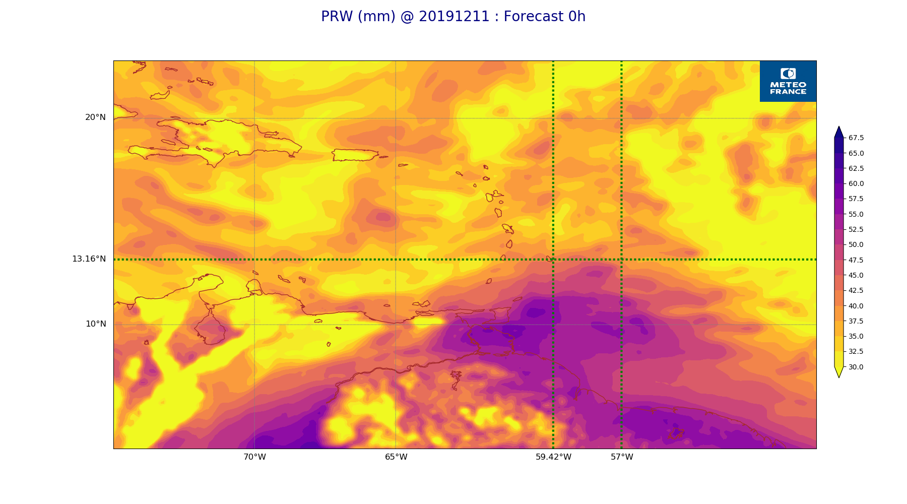
ARPEGE_map2D_PRW_20191211_fct_0.png
2019-12-12 18:29
249K
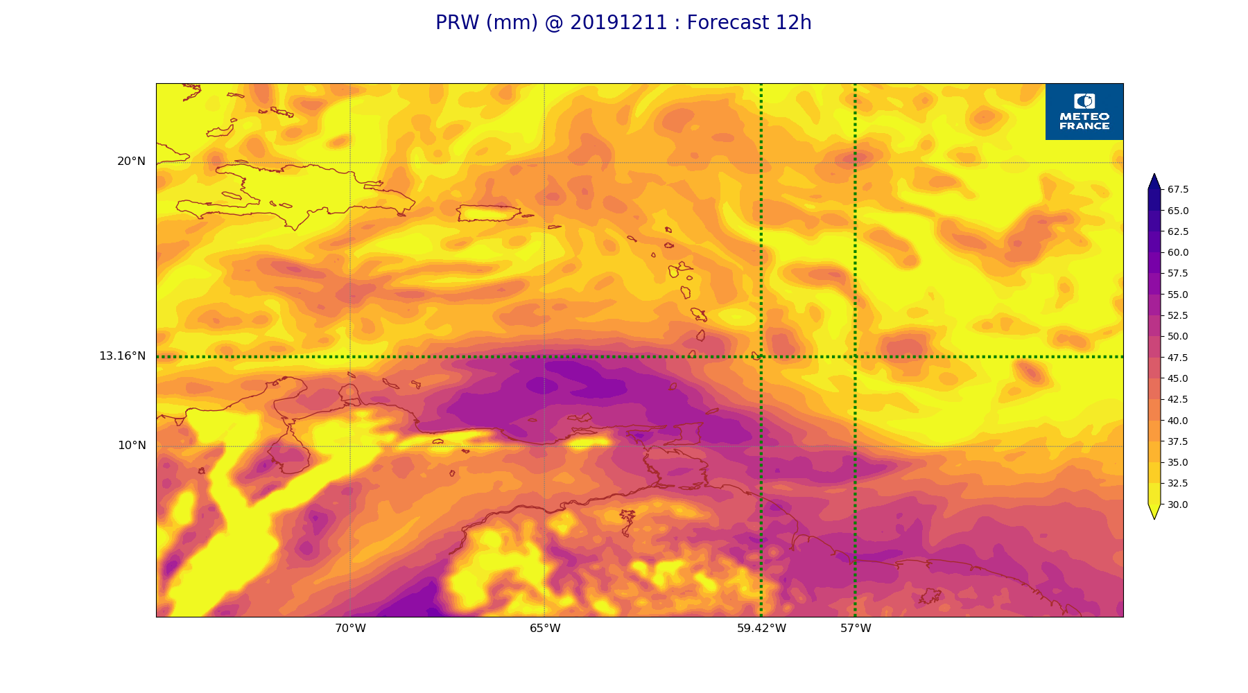
ARPEGE_map2D_PRW_20191211_fct_12.png
2019-12-12 18:29
256K
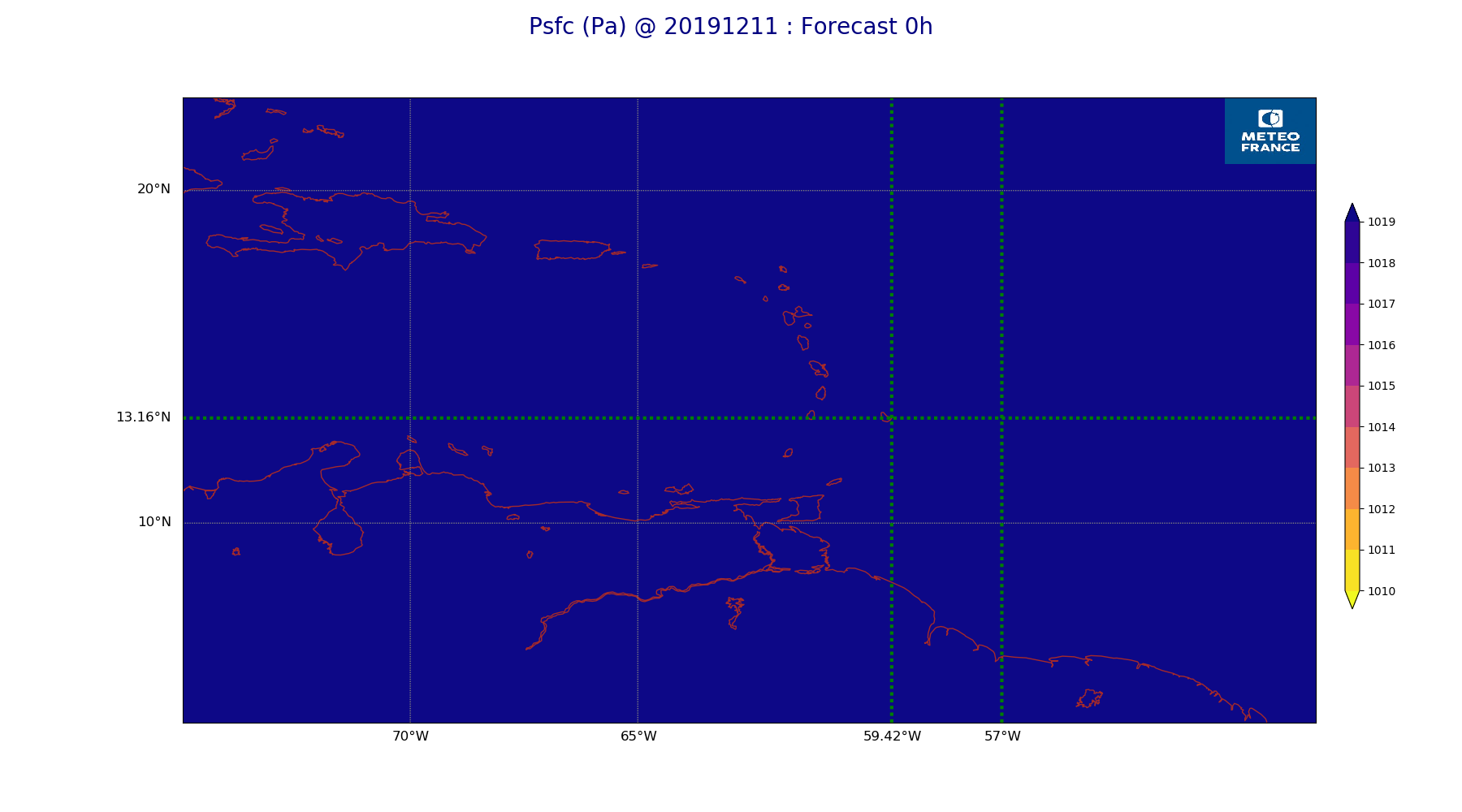
ARPEGE_map2D_Psfc_20191211_fct_0.png
2019-12-12 18:31
147K
ARPEGE_map2D_Psfc_20191211_fct_12.png
2019-12-12 18:31
147K
ARPEGE_map2D_RH_200hPa_20191211_fct_0.png
2019-12-12 18:26
226K
ARPEGE_map2D_RH_200hPa_20191211_fct_12.png
2019-12-12 18:27
228K
ARPEGE_map2D_RH_500hPa_20191211_fct_0.png
2019-12-12 18:26
219K
ARPEGE_map2D_RH_500hPa_20191211_fct_12.png
2019-12-12 18:27
245K
ARPEGE_map2D_RH_700hPa_20191211_fct_0.png
2019-12-12 18:26
279K
ARPEGE_map2D_RH_700hPa_20191211_fct_12.png
2019-12-12 18:27
293K
ARPEGE_map2D_RH_850hPa_20191211_fct_0.png
2019-12-12 18:26
314K
ARPEGE_map2D_RH_850hPa_20191211_fct_12.png
2019-12-12 18:27
307K
ARPEGE_map2D_RH_925hPa_20191211_fct_0.png
2019-12-12 18:26
252K
ARPEGE_map2D_RH_925hPa_20191211_fct_12.png
2019-12-12 18:27
260K
ARPEGE_map2D_T_200hPa_20191211_fct_0.png
2019-12-12 18:26
153K
ARPEGE_map2D_T_200hPa_20191211_fct_12.png
2019-12-12 18:26
157K
ARPEGE_map2D_T_500hPa_20191211_fct_0.png
2019-12-12 18:26
140K
ARPEGE_map2D_T_500hPa_20191211_fct_12.png
2019-12-12 18:26
141K
ARPEGE_map2D_T_700hPa_20191211_fct_0.png
2019-12-12 18:26
158K
ARPEGE_map2D_T_700hPa_20191211_fct_12.png
2019-12-12 18:26
157K
ARPEGE_map2D_T_850hPa_20191211_fct_0.png
2019-12-12 18:26
165K
ARPEGE_map2D_T_850hPa_20191211_fct_12.png
2019-12-12 18:26
168K
ARPEGE_map2D_T_925hPa_20191211_fct_0.png
2019-12-12 18:26
162K
ARPEGE_map2D_T_925hPa_20191211_fct_12.png
2019-12-12 18:26
158K
ARPEGE_map2D_U_200hPa_20191211_fct_0.png
2019-12-12 18:24
198K
ARPEGE_map2D_U_200hPa_20191211_fct_12.png
2019-12-12 18:24
200K
ARPEGE_map2D_U_500hPa_20191211_fct_0.png
2019-12-12 18:24
187K
ARPEGE_map2D_U_500hPa_20191211_fct_12.png
2019-12-12 18:24
190K
ARPEGE_map2D_U_700hPa_20191211_fct_0.png
2019-12-12 18:24
189K
ARPEGE_map2D_U_700hPa_20191211_fct_12.png
2019-12-12 18:24
190K
ARPEGE_map2D_U_850hPa_20191211_fct_0.png
2019-12-12 18:24
198K
ARPEGE_map2D_U_850hPa_20191211_fct_12.png
2019-12-12 18:25
198K
ARPEGE_map2D_U_925hPa_20191211_fct_0.png
2019-12-12 18:24
197K
ARPEGE_map2D_U_925hPa_20191211_fct_12.png
2019-12-12 18:25
192K
ARPEGE_map2D_V_200hPa_20191211_fct_0.png
2019-12-12 18:25
200K
ARPEGE_map2D_V_200hPa_20191211_fct_12.png
2019-12-12 18:25
216K
ARPEGE_map2D_V_500hPa_20191211_fct_0.png
2019-12-12 18:25
222K
ARPEGE_map2D_V_500hPa_20191211_fct_12.png
2019-12-12 18:25
220K
ARPEGE_map2D_V_700hPa_20191211_fct_0.png
2019-12-12 18:25
240K
ARPEGE_map2D_V_700hPa_20191211_fct_12.png
2019-12-12 18:25
240K
ARPEGE_map2D_V_850hPa_20191211_fct_0.png
2019-12-12 18:25
260K
ARPEGE_map2D_V_850hPa_20191211_fct_12.png
2019-12-12 18:25
260K
ARPEGE_map2D_V_925hPa_20191211_fct_0.png
2019-12-12 18:25
250K
ARPEGE_map2D_V_925hPa_20191211_fct_12.png
2019-12-12 18:25
252K
ARPEGE_map2D_Vertical_velocity_200hPa_20191211_fct_0.png
2019-12-12 18:24
283K
ARPEGE_map2D_Vertical_velocity_200hPa_20191211_fct_12.png
2019-12-12 18:24
285K
ARPEGE_map2D_Vertical_velocity_500hPa_20191211_fct_0.png
2019-12-12 18:24
329K
ARPEGE_map2D_Vertical_velocity_500hPa_20191211_fct_12.png
2019-12-12 18:24
332K
ARPEGE_map2D_Vertical_velocity_700hPa_20191211_fct_0.png
2019-12-12 18:24
360K
ARPEGE_map2D_Vertical_velocity_700hPa_20191211_fct_12.png
2019-12-12 18:24
353K
ARPEGE_map2D_Vertical_velocity_850hPa_20191211_fct_0.png
2019-12-12 18:24
384K
ARPEGE_map2D_Vertical_velocity_850hPa_20191211_fct_12.png
2019-12-12 18:24
377K
ARPEGE_map2D_Vertical_velocity_925hPa_20191211_fct_0.png
2019-12-12 18:24
387K
ARPEGE_map2D_Vertical_velocity_925hPa_20191211_fct_12.png
2019-12-12 18:24
376K
ARPEGE_map2D_qv_200hPa_20191211_fct_0.png
2019-12-12 18:27
153K
ARPEGE_map2D_qv_200hPa_20191211_fct_12.png
2019-12-12 18:27
153K
ARPEGE_map2D_qv_500hPa_20191211_fct_0.png
2019-12-12 18:27
153K
ARPEGE_map2D_qv_500hPa_20191211_fct_12.png
2019-12-12 18:27
153K
ARPEGE_map2D_qv_700hPa_20191211_fct_0.png
2019-12-12 18:27
155K
ARPEGE_map2D_qv_700hPa_20191211_fct_12.png
2019-12-12 18:27
154K
ARPEGE_map2D_qv_850hPa_20191211_fct_0.png
2019-12-12 18:27
202K
ARPEGE_map2D_qv_850hPa_20191211_fct_12.png
2019-12-12 18:27
201K
ARPEGE_map2D_qv_925hPa_20191211_fct_0.png
2019-12-12 18:27
222K
ARPEGE_map2D_qv_925hPa_20191211_fct_12.png
2019-12-12 18:27
225K
ARPEGE_map2D_theta_200hPa_20191211_fct_0.png
2019-12-12 18:26
151K
ARPEGE_map2D_theta_200hPa_20191211_fct_12.png
2019-12-12 18:26
151K
ARPEGE_map2D_theta_500hPa_20191211_fct_0.png
2019-12-12 18:26
151K
ARPEGE_map2D_theta_500hPa_20191211_fct_12.png
2019-12-12 18:26
151K
ARPEGE_map2D_theta_700hPa_20191211_fct_0.png
2019-12-12 18:26
151K
ARPEGE_map2D_theta_700hPa_20191211_fct_12.png
2019-12-12 18:26
151K
ARPEGE_map2D_theta_850hPa_20191211_fct_0.png
2019-12-12 18:26
151K
ARPEGE_map2D_theta_850hPa_20191211_fct_12.png
2019-12-12 18:26
151K
ARPEGE_map2D_theta_925hPa_20191211_fct_0.png
2019-12-12 18:26
158K
ARPEGE_map2D_theta_925hPa_20191211_fct_12.png
2019-12-12 18:26
164K
ARPEGE_map2D_theta_e_200hPa_20191211_fct_0.png
2019-12-12 18:25
147K
ARPEGE_map2D_theta_e_200hPa_20191211_fct_12.png
2019-12-12 18:25
144K
ARPEGE_map2D_theta_e_500hPa_20191211_fct_0.png
2019-12-12 18:25
168K
ARPEGE_map2D_theta_e_500hPa_20191211_fct_12.png
2019-12-12 18:25
175K
ARPEGE_map2D_theta_e_700hPa_20191211_fct_0.png
2019-12-12 18:25
196K
ARPEGE_map2D_theta_e_700hPa_20191211_fct_12.png
2019-12-12 18:26
190K
ARPEGE_map2D_theta_e_850hPa_20191211_fct_0.png
2019-12-12 18:25
232K
ARPEGE_map2D_theta_e_850hPa_20191211_fct_12.png
2019-12-12 18:26
230K
ARPEGE_map2D_theta_e_925hPa_20191211_fct_0.png
2019-12-12 18:25
204K
ARPEGE_map2D_theta_e_925hPa_20191211_fct_12.png
2019-12-12 18:26
213K
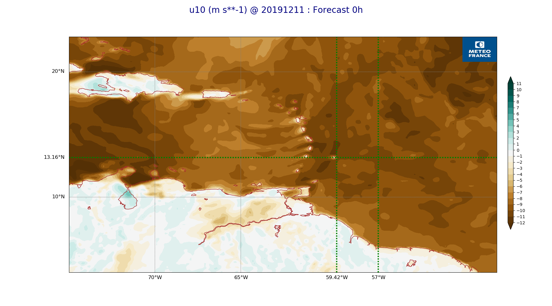
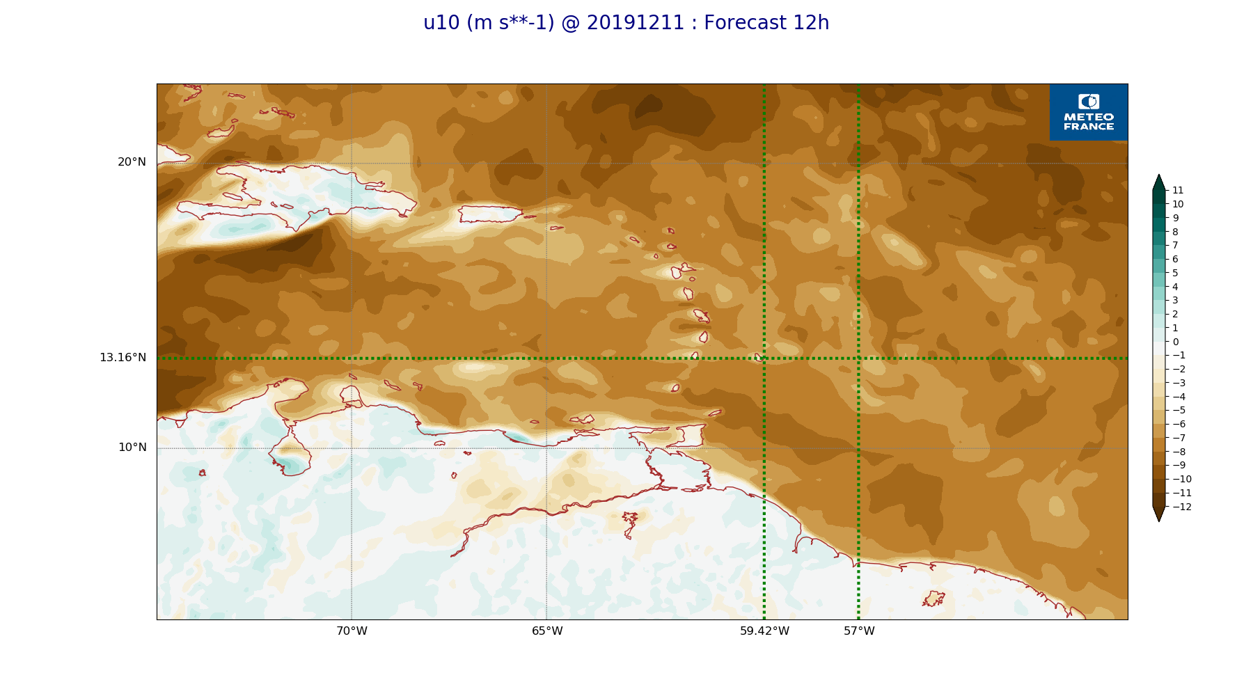
ARPEGE_map2D_u10_20191211_fct_0.png
2019-12-12 18:29
230K
ARPEGE_map2D_u10_20191211_fct_12.png
2019-12-12 18:29
236K
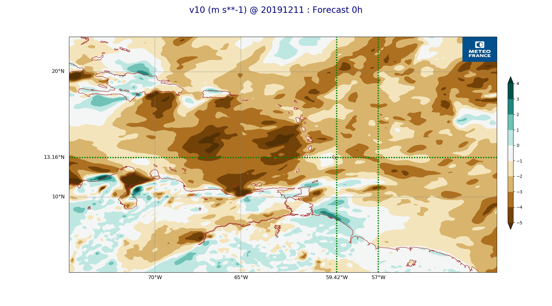
ARPEGE_map2D_v10_20191211_fct_0.png
2019-12-12 18:30
222K
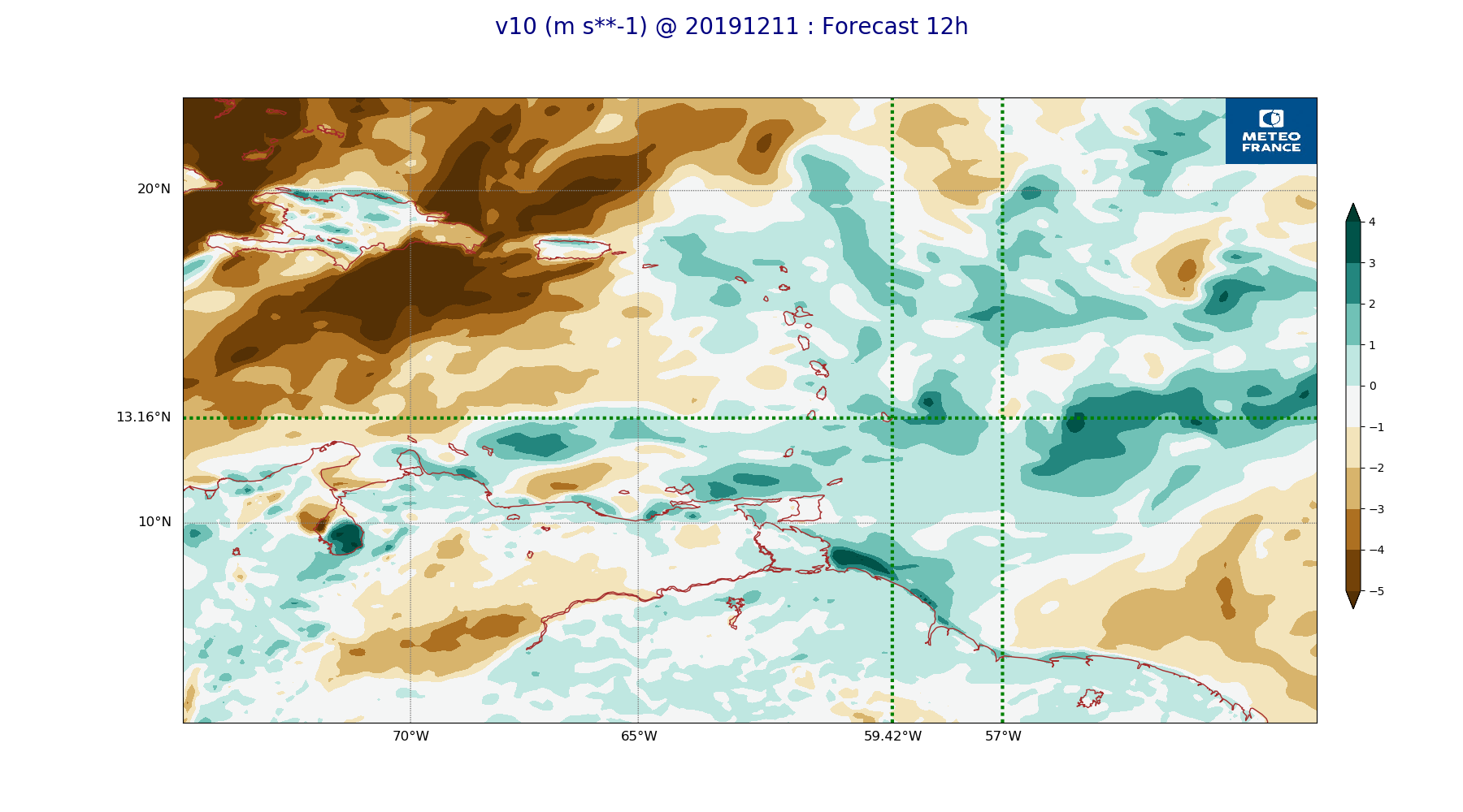
ARPEGE_map2D_v10_20191211_fct_12.png
2019-12-12 18:30
225K