Index of /aeris/eurec4a-data/FORECASTS/GLOBAL/ARPEGE/2019/20191217/map2D
Name
Last modified
Size
Parent Directory
-
ARPEGE_map2D_LWP_20191217_fct_0.png
2019-12-18 08:44
140K
ARPEGE_map2D_LWP_20191217_fct_12.png
2019-12-18 08:44
140K
ARPEGE_map2D_LWP_20191217_fct_24.png
2019-12-18 08:44
140K
ARPEGE_map2D_theta_e_200hPa_20191217_fct_12.png
2019-12-18 08:35
141K
ARPEGE_map2D_LWP_20191217_fct_48.png
2019-12-18 08:44
141K
ARPEGE_map2D_LWP_20191217_fct_36.png
2019-12-18 08:44
141K
ARPEGE_map2D_theta_e_200hPa_20191217_fct_0.png
2019-12-18 08:35
142K
ARPEGE_map2D_theta_e_200hPa_20191217_fct_24.png
2019-12-18 08:35
145K
ARPEGE_map2D_Psfc_20191217_fct_12.png
2019-12-18 08:45
147K
ARPEGE_map2D_Psfc_20191217_fct_0.png
2019-12-18 08:45
147K
ARPEGE_map2D_Psfc_20191217_fct_24.png
2019-12-18 08:45
147K
ARPEGE_map2D_Psfc_20191217_fct_48.png
2019-12-18 08:45
147K
ARPEGE_map2D_Psfc_20191217_fct_36.png
2019-12-18 08:45
148K
ARPEGE_map2D_theta_e_200hPa_20191217_fct_48.png
2019-12-18 08:35
149K
ARPEGE_map2D_IWP_20191217_fct_0.png
2019-12-18 08:44
150K
ARPEGE_map2D_Cum_3h_RAIN_20191217_fct_0.png
2019-12-18 08:41
150K
ARPEGE_map2D_IWP_20191217_fct_24.png
2019-12-18 08:45
151K
ARPEGE_map2D_IWP_20191217_fct_12.png
2019-12-18 08:44
151K
ARPEGE_map2D_IWP_20191217_fct_48.png
2019-12-18 08:45
151K
ARPEGE_map2D_IWP_20191217_fct_36.png
2019-12-18 08:45
151K
ARPEGE_map2D_theta_e_200hPa_20191217_fct_36.png
2019-12-18 08:35
151K
ARPEGE_map2D_qv_500hPa_20191217_fct_12.png
2019-12-18 08:37
157K
ARPEGE_map2D_qv_500hPa_20191217_fct_24.png
2019-12-18 08:37
158K
ARPEGE_map2D_qv_500hPa_20191217_fct_36.png
2019-12-18 08:37
158K
ARPEGE_map2D_qv_500hPa_20191217_fct_0.png
2019-12-18 08:37
158K
ARPEGE_map2D_qv_500hPa_20191217_fct_48.png
2019-12-18 08:38
158K
ARPEGE_map2D_Fraction_cloud_cover_925hPa_20191217_fct_0.png
2019-12-18 08:34
161K
ARPEGE_map2D_Fraction_cloud_cover_500hPa_20191217_fct_0.png
2019-12-18 08:34
161K
ARPEGE_map2D_Fraction_cloud_cover_200hPa_20191217_fct_0.png
2019-12-18 08:34
161K
ARPEGE_map2D_Fraction_cloud_cover_850hPa_20191217_fct_0.png
2019-12-18 08:34
161K
ARPEGE_map2D_theta_500hPa_20191217_fct_48.png
2019-12-18 08:36
165K
ARPEGE_map2D_Low_CC_inf_785hPa_20191217_fct_0.png
2019-12-18 08:38
167K
ARPEGE_map2D_High_CC_sup_450hPa_20191217_fct_0.png
2019-12-18 08:40
167K
ARPEGE_map2D_Mid_CC_785_450hPa_20191217_fct_0.png
2019-12-18 08:39
167K
ARPEGE_map2D_T_500hPa_20191217_fct_48.png
2019-12-18 08:36
168K
ARPEGE_map2D_theta_e_500hPa_20191217_fct_48.png
2019-12-18 08:35
169K
ARPEGE_map2D_theta_850hPa_20191217_fct_24.png
2019-12-18 08:36
170K
ARPEGE_map2D_theta_500hPa_20191217_fct_24.png
2019-12-18 08:36
171K
ARPEGE_map2D_theta_850hPa_20191217_fct_48.png
2019-12-18 08:36
171K
ARPEGE_map2D_T_850hPa_20191217_fct_24.png
2019-12-18 08:36
172K
ARPEGE_map2D_theta_e_500hPa_20191217_fct_36.png
2019-12-18 08:35
172K
ARPEGE_map2D_T_500hPa_20191217_fct_36.png
2019-12-18 08:36
173K
ARPEGE_map2D_T_850hPa_20191217_fct_48.png
2019-12-18 08:36
174K
ARPEGE_map2D_T_500hPa_20191217_fct_24.png
2019-12-18 08:36
174K
ARPEGE_map2D_theta_500hPa_20191217_fct_36.png
2019-12-18 08:36
174K
ARPEGE_map2D_T_500hPa_20191217_fct_12.png
2019-12-18 08:36
174K
ARPEGE_map2D_theta_850hPa_20191217_fct_0.png
2019-12-18 08:35
174K
ARPEGE_map2D_T_925hPa_20191217_fct_24.png
2019-12-18 08:36
175K
ARPEGE_map2D_theta_e_500hPa_20191217_fct_24.png
2019-12-18 08:35
175K
ARPEGE_map2D_theta_925hPa_20191217_fct_24.png
2019-12-18 08:36
175K
ARPEGE_map2D_T_850hPa_20191217_fct_0.png
2019-12-18 08:36
176K
ARPEGE_map2D_theta_e_500hPa_20191217_fct_12.png
2019-12-18 08:35
176K
ARPEGE_map2D_theta_500hPa_20191217_fct_0.png
2019-12-18 08:35
176K
ARPEGE_map2D_T_850hPa_20191217_fct_36.png
2019-12-18 08:36
177K
ARPEGE_map2D_theta_850hPa_20191217_fct_12.png
2019-12-18 08:35
177K
ARPEGE_map2D_theta_850hPa_20191217_fct_36.png
2019-12-18 08:36
177K
ARPEGE_map2D_T_850hPa_20191217_fct_12.png
2019-12-18 08:36
177K
ARPEGE_map2D_theta_925hPa_20191217_fct_48.png
2019-12-18 08:36
178K
ARPEGE_map2D_theta_925hPa_20191217_fct_12.png
2019-12-18 08:35
178K
ARPEGE_map2D_theta_500hPa_20191217_fct_12.png
2019-12-18 08:35
178K
ARPEGE_map2D_T_925hPa_20191217_fct_12.png
2019-12-18 08:36
178K
ARPEGE_map2D_T_500hPa_20191217_fct_0.png
2019-12-18 08:36
178K
ARPEGE_map2D_T_925hPa_20191217_fct_0.png
2019-12-18 08:36
179K
ARPEGE_map2D_theta_925hPa_20191217_fct_0.png
2019-12-18 08:35
180K
ARPEGE_map2D_T_925hPa_20191217_fct_48.png
2019-12-18 08:36
180K
ARPEGE_map2D_theta_e_500hPa_20191217_fct_0.png
2019-12-18 08:35
180K
ARPEGE_map2D_U_200hPa_20191217_fct_24.png
2019-12-18 08:33
182K
ARPEGE_map2D_theta_925hPa_20191217_fct_36.png
2019-12-18 08:36
182K
ARPEGE_map2D_T_925hPa_20191217_fct_36.png
2019-12-18 08:36
183K
ARPEGE_map2D_U_200hPa_20191217_fct_48.png
2019-12-18 08:33
183K
ARPEGE_map2D_U_200hPa_20191217_fct_36.png
2019-12-18 08:33
185K
ARPEGE_map2D_U_200hPa_20191217_fct_12.png
2019-12-18 08:33
185K
ARPEGE_map2D_Cum_3h_RAIN_20191217_fct_24.png
2019-12-18 08:41
186K
ARPEGE_map2D_U_500hPa_20191217_fct_48.png
2019-12-18 08:33
187K
ARPEGE_map2D_U_200hPa_20191217_fct_0.png
2019-12-18 08:32
187K
ARPEGE_map2D_Cum_3h_RAIN_20191217_fct_36.png
2019-12-18 08:41
190K
ARPEGE_map2D_U_500hPa_20191217_fct_36.png
2019-12-18 08:33
190K
ARPEGE_map2D_U_500hPa_20191217_fct_24.png
2019-12-18 08:33
191K
ARPEGE_map2D_U_925hPa_20191217_fct_0.png
2019-12-18 08:33
194K
ARPEGE_map2D_U_500hPa_20191217_fct_12.png
2019-12-18 08:33
196K
ARPEGE_map2D_U_925hPa_20191217_fct_12.png
2019-12-18 08:33
197K
ARPEGE_map2D_U_925hPa_20191217_fct_24.png
2019-12-18 08:33
197K
ARPEGE_map2D_U_500hPa_20191217_fct_0.png
2019-12-18 08:32
197K
ARPEGE_map2D_U_925hPa_20191217_fct_48.png
2019-12-18 08:33
198K
ARPEGE_map2D_V_200hPa_20191217_fct_12.png
2019-12-18 08:33
199K
ARPEGE_map2D_theta_e_925hPa_20191217_fct_48.png
2019-12-18 08:35
199K
ARPEGE_map2D_U_850hPa_20191217_fct_0.png
2019-12-18 08:32
200K
ARPEGE_map2D_U_850hPa_20191217_fct_12.png
2019-12-18 08:33
200K
ARPEGE_map2D_theta_e_925hPa_20191217_fct_24.png
2019-12-18 08:35
200K
ARPEGE_map2D_theta_e_925hPa_20191217_fct_12.png
2019-12-18 08:35
200K
ARPEGE_map2D_V_200hPa_20191217_fct_0.png
2019-12-18 08:33
202K
ARPEGE_map2D_V_200hPa_20191217_fct_36.png
2019-12-18 08:34
202K
ARPEGE_map2D_U_850hPa_20191217_fct_24.png
2019-12-18 08:33
202K
ARPEGE_map2D_U_850hPa_20191217_fct_48.png
2019-12-18 08:33
204K
ARPEGE_map2D_Cum_3h_RAIN_20191217_fct_12.png
2019-12-18 08:41
204K
ARPEGE_map2D_U_925hPa_20191217_fct_36.png
2019-12-18 08:33
204K
ARPEGE_map2D_V_200hPa_20191217_fct_24.png
2019-12-18 08:33
205K
ARPEGE_map2D_Geopotential_0_7_PVU_20191217_fct_24.png
2019-12-18 08:38
206K
ARPEGE_map2D_Geopotential_0_7_PVU_20191217_fct_48.png
2019-12-18 08:38
207K
ARPEGE_map2D_U_850hPa_20191217_fct_36.png
2019-12-18 08:33
207K
ARPEGE_map2D_V_200hPa_20191217_fct_48.png
2019-12-18 08:34
207K
ARPEGE_map2D_theta_e_925hPa_20191217_fct_36.png
2019-12-18 08:35
208K
ARPEGE_map2D_RH_500hPa_20191217_fct_48.png
2019-12-18 08:37
209K
ARPEGE_map2D_theta_e_850hPa_20191217_fct_48.png
2019-12-18 08:35
210K
ARPEGE_map2D_Geopotential_0_7_PVU_20191217_fct_36.png
2019-12-18 08:38
210K
ARPEGE_map2D_Geopotential_0_7_PVU_20191217_fct_0.png
2019-12-18 08:38
211K
ARPEGE_map2D_theta_e_925hPa_20191217_fct_0.png
2019-12-18 08:35
212K
ARPEGE_map2D_Geopotential_0_7_PVU_20191217_fct_12.png
2019-12-18 08:38
213K
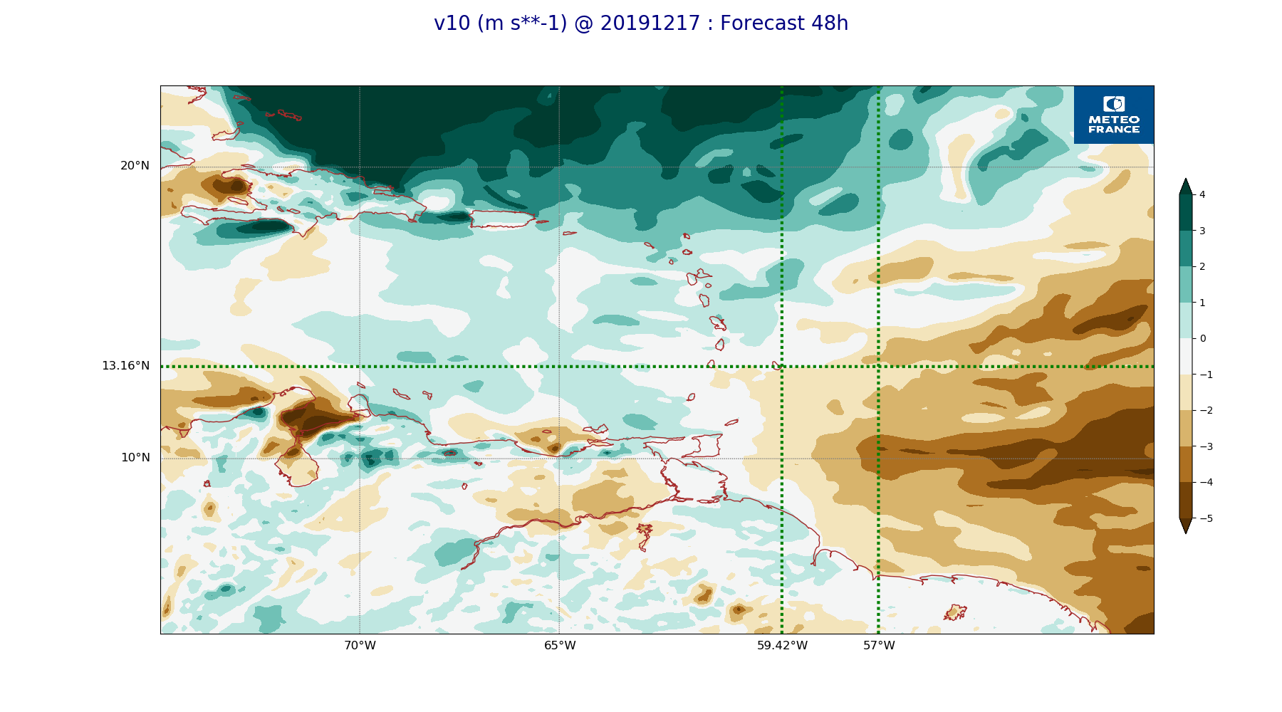
ARPEGE_map2D_v10_20191217_fct_48.png
2019-12-18 08:43
213K
ARPEGE_map2D_V_500hPa_20191217_fct_48.png
2019-12-18 08:34
214K
ARPEGE_map2D_qv_925hPa_20191217_fct_12.png
2019-12-18 08:37
215K
ARPEGE_map2D_theta_e_850hPa_20191217_fct_24.png
2019-12-18 08:35
215K
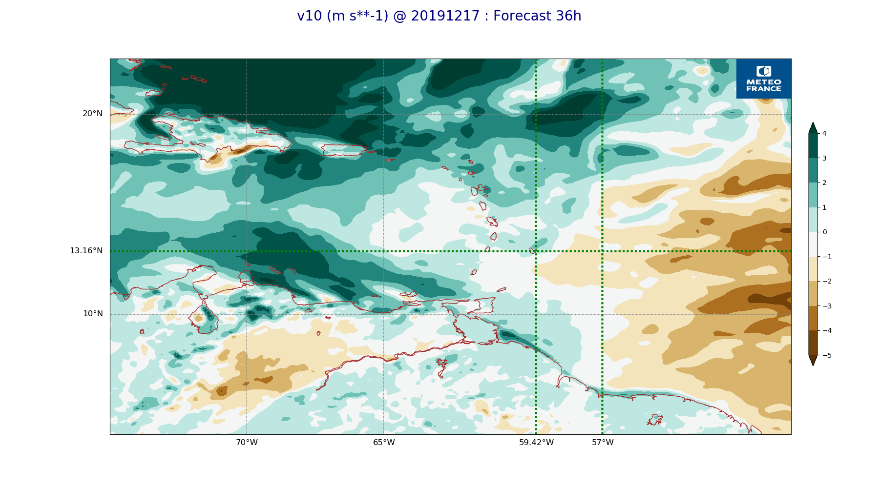
ARPEGE_map2D_v10_20191217_fct_36.png
2019-12-18 08:43
218K
ARPEGE_map2D_V_500hPa_20191217_fct_36.png
2019-12-18 08:34
218K
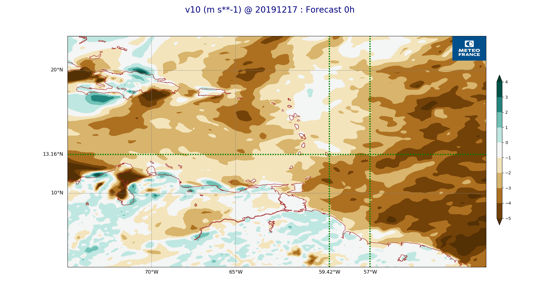
ARPEGE_map2D_v10_20191217_fct_0.png
2019-12-18 08:43
218K
ARPEGE_map2D_theta_e_850hPa_20191217_fct_36.png
2019-12-18 08:35
218K
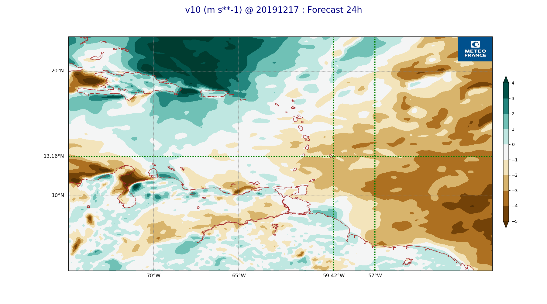
ARPEGE_map2D_v10_20191217_fct_24.png
2019-12-18 08:43
219K
ARPEGE_map2D_V_500hPa_20191217_fct_24.png
2019-12-18 08:33
219K
ARPEGE_map2D_qv_925hPa_20191217_fct_24.png
2019-12-18 08:37
220K
ARPEGE_map2D_v10_20191217_fct_12.png
2019-12-18 08:43
220K
ARPEGE_map2D_theta_e_850hPa_20191217_fct_12.png
2019-12-18 08:35
221K
ARPEGE_map2D_RH_500hPa_20191217_fct_36.png
2019-12-18 08:37
222K
ARPEGE_map2D_CAPE_20191217_fct_12.png
2019-12-18 08:46
223K
ARPEGE_map2D_qv_925hPa_20191217_fct_48.png
2019-12-18 08:38
223K
ARPEGE_map2D_theta_e_850hPa_20191217_fct_0.png
2019-12-18 08:35
223K
ARPEGE_map2D_Vertical_velocity_500hPa_20191217_fct_48.png
2019-12-18 08:32
227K
ARPEGE_map2D_V_500hPa_20191217_fct_12.png
2019-12-18 08:33
228K
ARPEGE_map2D_PRW_20191217_fct_48.png
2019-12-18 08:42
228K
ARPEGE_map2D_qv_925hPa_20191217_fct_36.png
2019-12-18 08:37
228K
ARPEGE_map2D_V_500hPa_20191217_fct_0.png
2019-12-18 08:33
231K
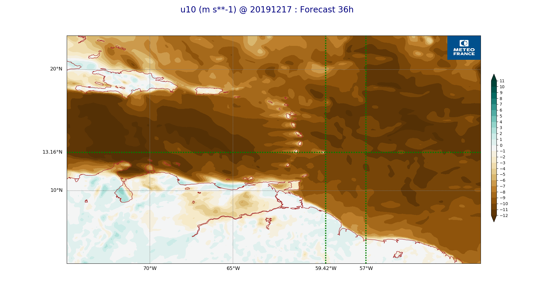
ARPEGE_map2D_u10_20191217_fct_24.png
2019-12-18 08:42
231K
ARPEGE_map2D_u10_20191217_fct_48.png
2019-12-18 08:43
231K
ARPEGE_map2D_RH_500hPa_20191217_fct_24.png
2019-12-18 08:37
232K
ARPEGE_map2D_qv_925hPa_20191217_fct_0.png
2019-12-18 08:37
232K
ARPEGE_map2D_u10_20191217_fct_12.png
2019-12-18 08:42
233K
ARPEGE_map2D_CAPE_20191217_fct_36.png
2019-12-18 08:46
233K
ARPEGE_map2D_u10_20191217_fct_0.png
2019-12-18 08:42
233K
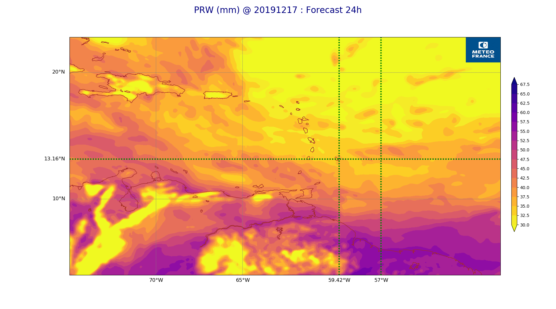
ARPEGE_map2D_PRW_20191217_fct_24.png
2019-12-18 08:42
234K
ARPEGE_map2D_qv_850hPa_20191217_fct_48.png
2019-12-18 08:38
236K
ARPEGE_map2D_RH_500hPa_20191217_fct_12.png
2019-12-18 08:37
236K
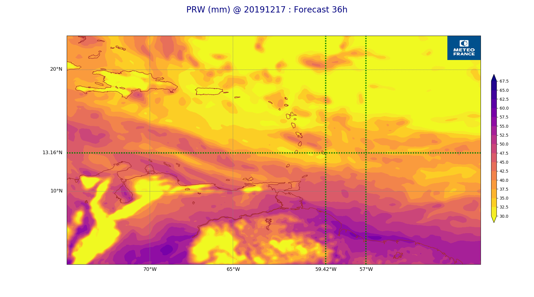
ARPEGE_map2D_PRW_20191217_fct_36.png
2019-12-18 08:42
239K
ARPEGE_map2D_qv_850hPa_20191217_fct_24.png
2019-12-18 08:37
239K
ARPEGE_map2D_RH_700hPa_20191217_fct_48.png
2019-12-18 08:37
240K
ARPEGE_map2D_u10_20191217_fct_36.png
2019-12-18 08:43
240K
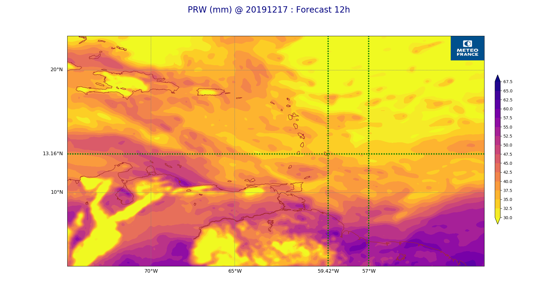
ARPEGE_map2D_PRW_20191217_fct_12.png
2019-12-18 08:41
240K
ARPEGE_map2D_Vertical_velocity_500hPa_20191217_fct_36.png
2019-12-18 08:32
241K
ARPEGE_map2D_qv_850hPa_20191217_fct_36.png
2019-12-18 08:37
242K
ARPEGE_map2D_Vertical_velocity_500hPa_20191217_fct_24.png
2019-12-18 08:32
244K
ARPEGE_map2D_RH_700hPa_20191217_fct_24.png
2019-12-18 08:37
244K
ARPEGE_map2D_qv_850hPa_20191217_fct_12.png
2019-12-18 08:37
246K
ARPEGE_map2D_Cum_3h_RAIN_20191217_fct_48.png
2019-12-18 08:41
247K
ARPEGE_map2D_RH_700hPa_20191217_fct_12.png
2019-12-18 08:37
247K
ARPEGE_map2D_V_925hPa_20191217_fct_48.png
2019-12-18 08:34
247K
ARPEGE_map2D_RH_500hPa_20191217_fct_0.png
2019-12-18 08:36
247K
ARPEGE_map2D_CAPE_20191217_fct_48.png
2019-12-18 08:46
248K
ARPEGE_map2D_RH_700hPa_20191217_fct_36.png
2019-12-18 08:37
248K
ARPEGE_map2D_V_925hPa_20191217_fct_12.png
2019-12-18 08:33
248K
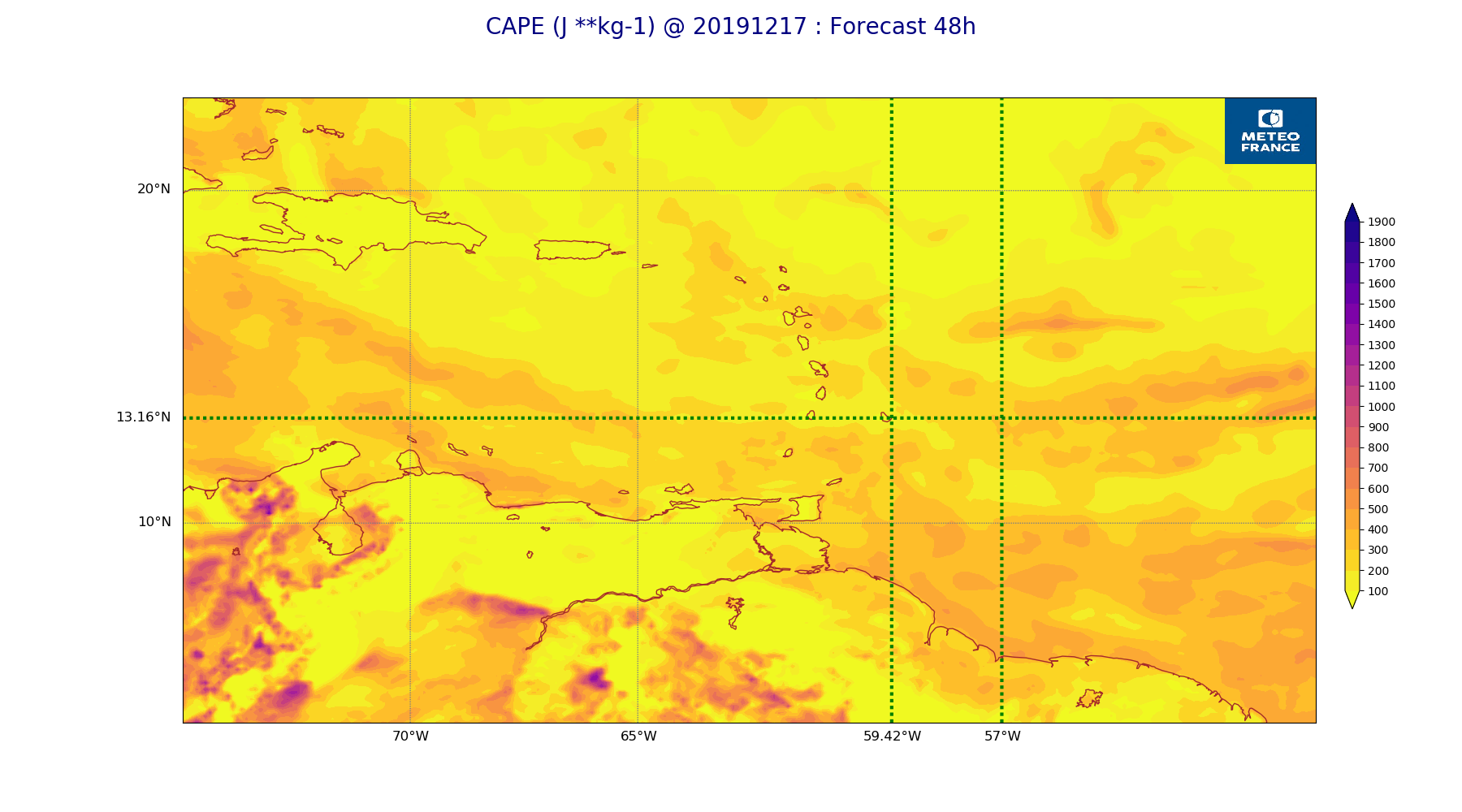
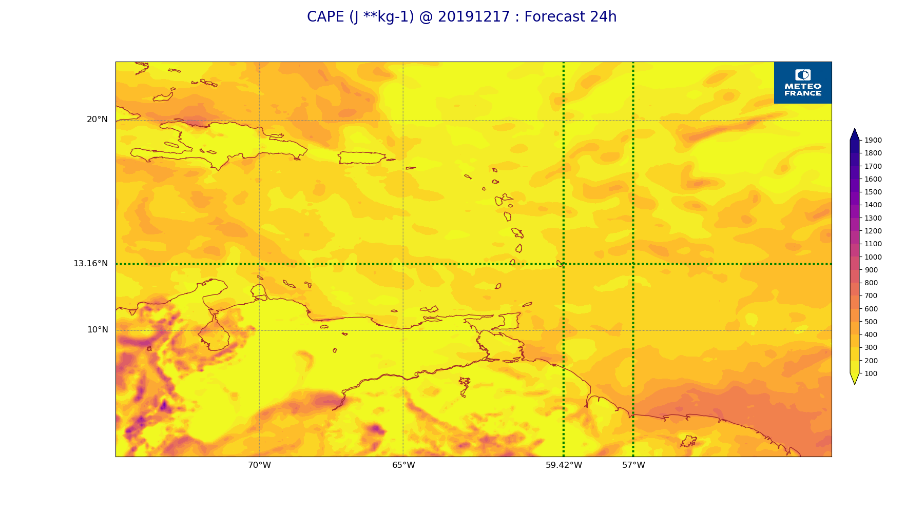
ARPEGE_map2D_CAPE_20191217_fct_24.png
2019-12-18 08:46
249K
ARPEGE_map2D_qv_850hPa_20191217_fct_0.png
2019-12-18 08:37
249K
ARPEGE_map2D_V_925hPa_20191217_fct_0.png
2019-12-18 08:33
249K
ARPEGE_map2D_Vertical_velocity_500hPa_20191217_fct_12.png
2019-12-18 08:32
250K
ARPEGE_map2D_V_925hPa_20191217_fct_24.png
2019-12-18 08:34
250K
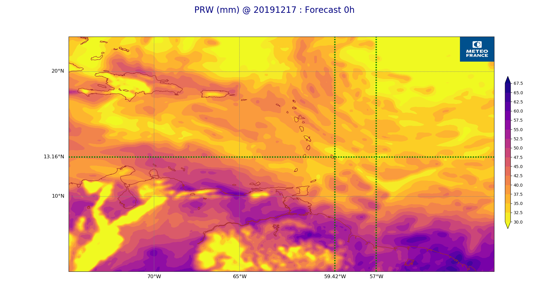
ARPEGE_map2D_PRW_20191217_fct_0.png
2019-12-18 08:41
252K
ARPEGE_map2D_V_925hPa_20191217_fct_36.png
2019-12-18 08:34
254K
ARPEGE_map2D_Vertical_velocity_700hPa_20191217_fct_48.png
2019-12-18 08:32
256K
ARPEGE_map2D_Vertical_velocity_500hPa_20191217_fct_0.png
2019-12-18 08:32
257K
ARPEGE_map2D_V_850hPa_20191217_fct_0.png
2019-12-18 08:33
258K
ARPEGE_map2D_RH_700hPa_20191217_fct_0.png
2019-12-18 08:36
258K
ARPEGE_map2D_V_850hPa_20191217_fct_12.png
2019-12-18 08:33
263K
ARPEGE_map2D_V_850hPa_20191217_fct_24.png
2019-12-18 08:33
263K
ARPEGE_map2D_V_850hPa_20191217_fct_48.png
2019-12-18 08:34
264K
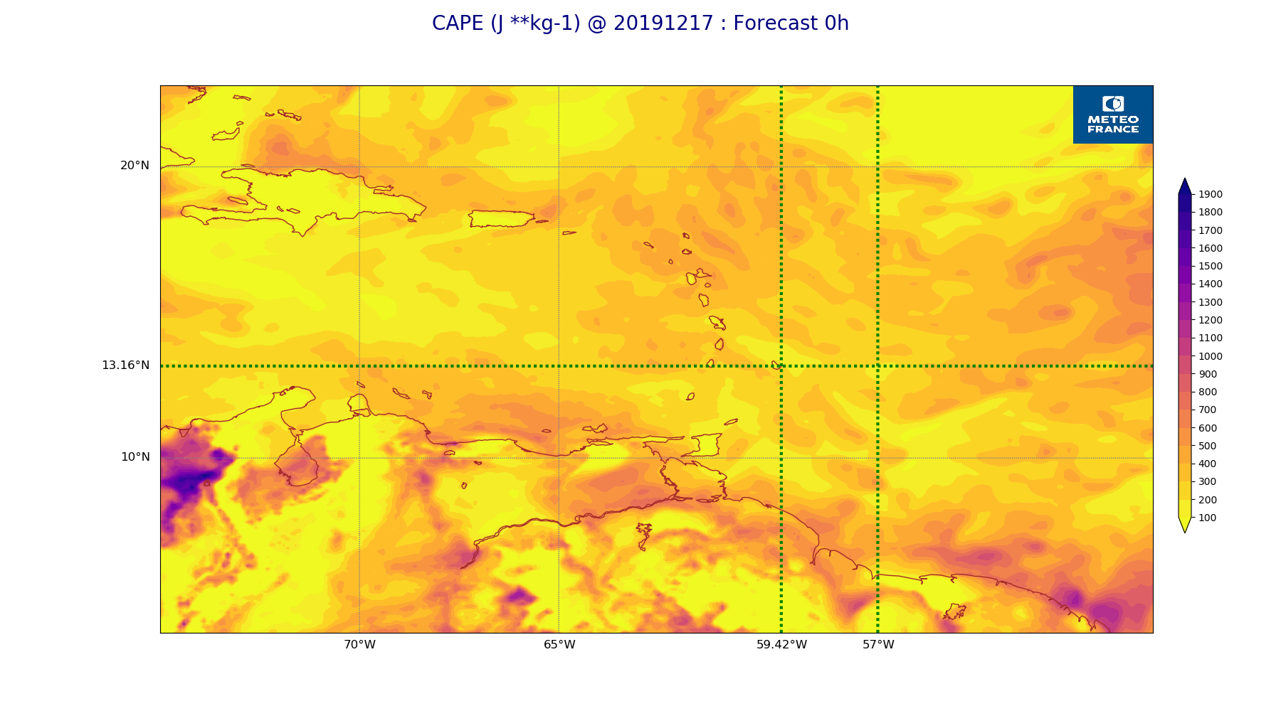
ARPEGE_map2D_CAPE_20191217_fct_0.png
2019-12-18 08:46
265K
ARPEGE_map2D_V_850hPa_20191217_fct_36.png
2019-12-18 08:34
269K
ARPEGE_map2D_High_CC_sup_450hPa_20191217_fct_12.png
2019-12-18 08:40
272K
ARPEGE_map2D_RH_850hPa_20191217_fct_48.png
2019-12-18 08:37
274K
ARPEGE_map2D_RH_850hPa_20191217_fct_24.png
2019-12-18 08:37
279K
ARPEGE_map2D_Vertical_velocity_700hPa_20191217_fct_36.png
2019-12-18 08:32
279K
ARPEGE_map2D_RH_850hPa_20191217_fct_36.png
2019-12-18 08:37
285K
ARPEGE_map2D_Vertical_velocity_700hPa_20191217_fct_24.png
2019-12-18 08:32
288K
ARPEGE_map2D_Vertical_velocity_850hPa_20191217_fct_48.png
2019-12-18 08:32
291K
ARPEGE_map2D_RH_850hPa_20191217_fct_12.png
2019-12-18 08:37
292K
ARPEGE_map2D_Vertical_velocity_700hPa_20191217_fct_12.png
2019-12-18 08:32
292K
ARPEGE_map2D_RH_850hPa_20191217_fct_0.png
2019-12-18 08:36
292K
ARPEGE_map2D_High_CC_sup_450hPa_20191217_fct_24.png
2019-12-18 08:40
301K
ARPEGE_map2D_High_CC_sup_450hPa_20191217_fct_48.png
2019-12-18 08:40
308K
ARPEGE_map2D_Vertical_velocity_700hPa_20191217_fct_0.png
2019-12-18 08:32
309K
ARPEGE_map2D_Vertical_velocity_850hPa_20191217_fct_36.png
2019-12-18 08:32
315K
ARPEGE_map2D_Vertical_velocity_850hPa_20191217_fct_24.png
2019-12-18 08:32
316K
ARPEGE_map2D_Vertical_velocity_850hPa_20191217_fct_12.png
2019-12-18 08:32
325K
ARPEGE_map2D_Fraction_cloud_cover_200hPa_20191217_fct_12.png
2019-12-18 08:34
332K
ARPEGE_map2D_Vertical_velocity_850hPa_20191217_fct_0.png
2019-12-18 08:32
332K
ARPEGE_map2D_Fraction_cloud_cover_200hPa_20191217_fct_48.png
2019-12-18 08:34
333K
ARPEGE_map2D_High_CC_sup_450hPa_20191217_fct_36.png
2019-12-18 08:40
350K
ARPEGE_map2D_Fraction_cloud_cover_200hPa_20191217_fct_36.png
2019-12-18 08:34
350K
ARPEGE_map2D_Fraction_cloud_cover_500hPa_20191217_fct_48.png
2019-12-18 08:34
352K
ARPEGE_map2D_Fraction_cloud_cover_200hPa_20191217_fct_24.png
2019-12-18 08:34
378K
ARPEGE_map2D_Fraction_cloud_cover_500hPa_20191217_fct_12.png
2019-12-18 08:34
380K
ARPEGE_map2D_Low_CC_inf_785hPa_20191217_fct_48.png
2019-12-18 08:39
406K
ARPEGE_map2D_Low_CC_inf_785hPa_20191217_fct_36.png
2019-12-18 08:39
414K
ARPEGE_map2D_Fraction_cloud_cover_500hPa_20191217_fct_24.png
2019-12-18 08:34
415K
ARPEGE_map2D_Low_CC_inf_785hPa_20191217_fct_24.png
2019-12-18 08:39
427K
ARPEGE_map2D_Mid_CC_785_450hPa_20191217_fct_48.png
2019-12-18 08:40
429K
ARPEGE_map2D_Low_CC_inf_785hPa_20191217_fct_12.png
2019-12-18 08:39
433K
ARPEGE_map2D_Fraction_cloud_cover_500hPa_20191217_fct_36.png
2019-12-18 08:34
437K
ARPEGE_map2D_Mid_CC_785_450hPa_20191217_fct_36.png
2019-12-18 08:40
473K
ARPEGE_map2D_Mid_CC_785_450hPa_20191217_fct_12.png
2019-12-18 08:39
503K
ARPEGE_map2D_Mid_CC_785_450hPa_20191217_fct_24.png
2019-12-18 08:39
528K
ARPEGE_map2D_Fraction_cloud_cover_925hPa_20191217_fct_24.png
2019-12-18 08:34
669K
ARPEGE_map2D_Fraction_cloud_cover_925hPa_20191217_fct_12.png
2019-12-18 08:34
678K
ARPEGE_map2D_Fraction_cloud_cover_925hPa_20191217_fct_48.png
2019-12-18 08:35
678K
ARPEGE_map2D_Fraction_cloud_cover_925hPa_20191217_fct_36.png
2019-12-18 08:34
695K
ARPEGE_map2D_Fraction_cloud_cover_850hPa_20191217_fct_36.png
2019-12-18 08:34
714K
ARPEGE_map2D_Fraction_cloud_cover_850hPa_20191217_fct_12.png
2019-12-18 08:34
767K
ARPEGE_map2D_Fraction_cloud_cover_850hPa_20191217_fct_48.png
2019-12-18 08:35
788K
ARPEGE_map2D_Fraction_cloud_cover_850hPa_20191217_fct_24.png
2019-12-18 08:34
818K