Index of /aeris/eurec4a-data/FORECASTS/GLOBAL/ARPEGE/2019/20191218/map2D
Name
Last modified
Size
Parent Directory
-
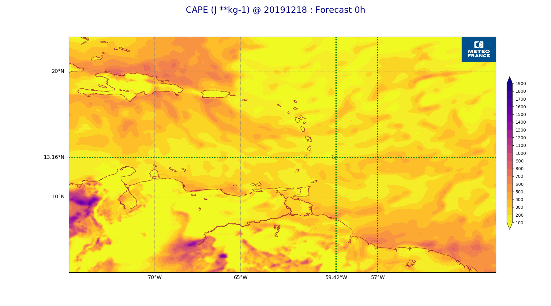
ARPEGE_map2D_CAPE_20191218_fct_0.png
2019-12-18 12:07
257K
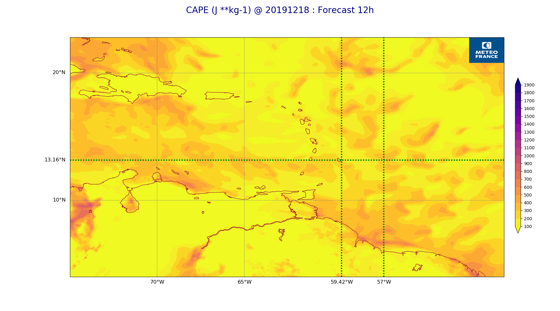
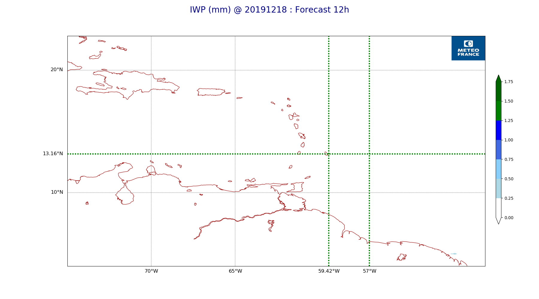
ARPEGE_map2D_CAPE_20191218_fct_12.png
2019-12-18 12:07
229K
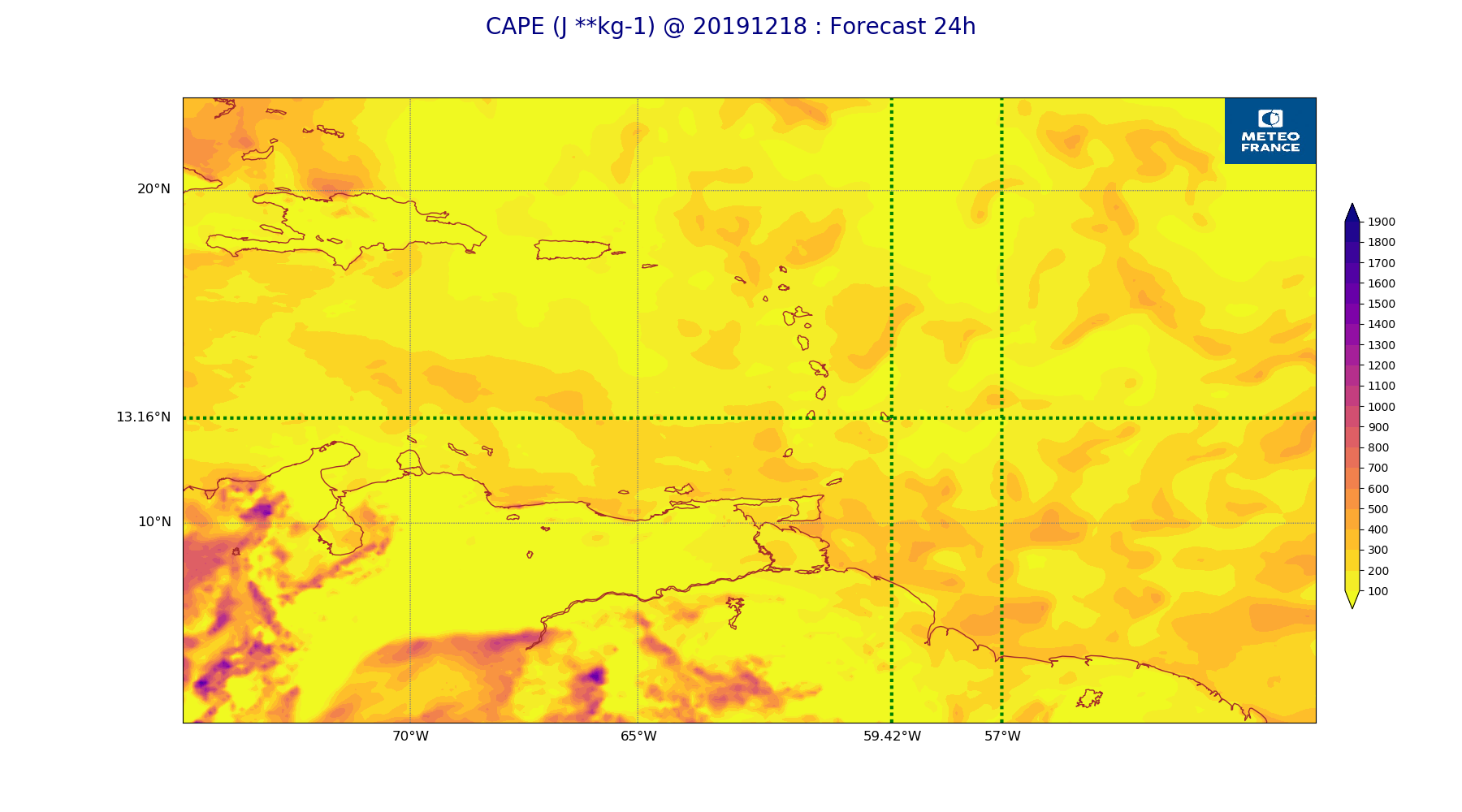
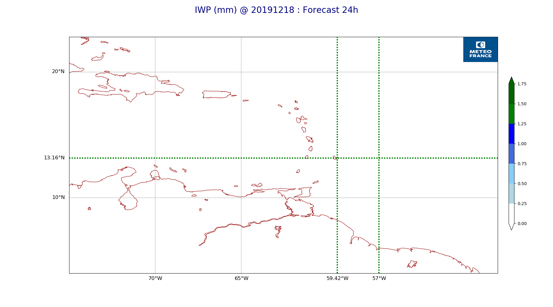
ARPEGE_map2D_CAPE_20191218_fct_24.png
2019-12-18 12:07
245K
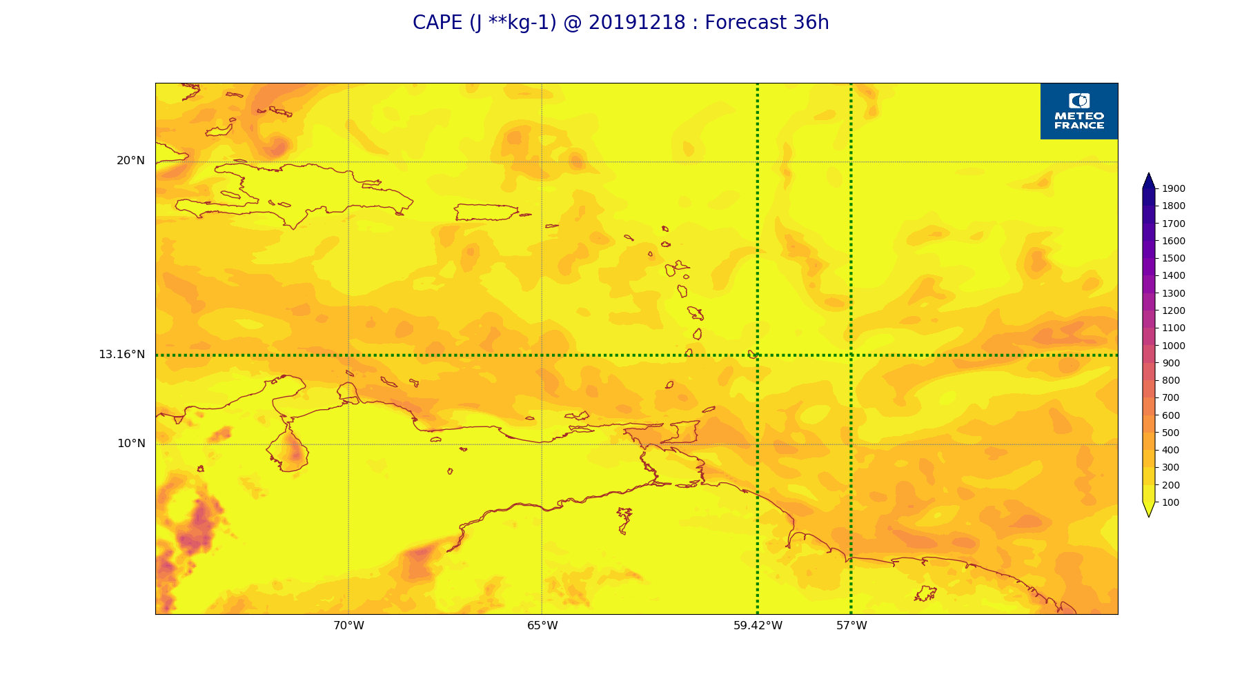
ARPEGE_map2D_CAPE_20191218_fct_36.png
2019-12-18 12:07
225K
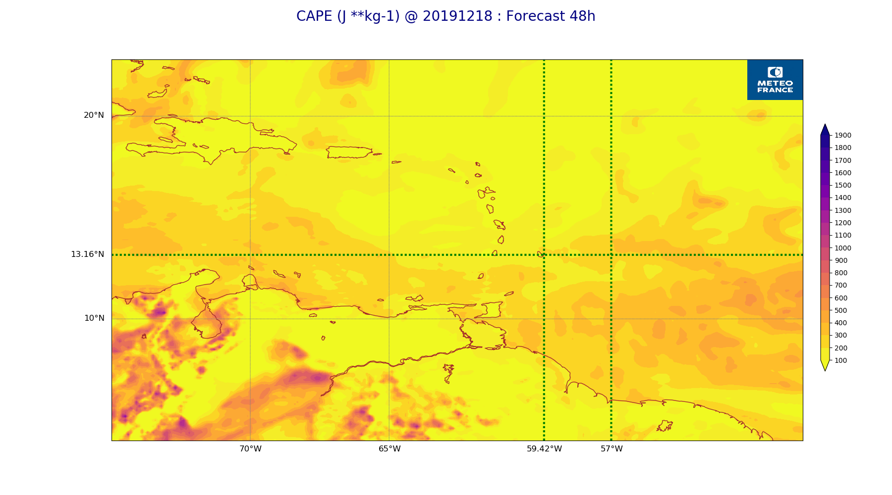
ARPEGE_map2D_CAPE_20191218_fct_48.png
2019-12-18 12:07
235K
ARPEGE_map2D_Cum_3h_RAIN_20191218_fct_0.png
2019-12-18 12:02
151K
ARPEGE_map2D_Cum_3h_RAIN_20191218_fct_12.png
2019-12-18 12:02
214K
ARPEGE_map2D_Cum_3h_RAIN_20191218_fct_24.png
2019-12-18 12:02
211K
ARPEGE_map2D_Cum_3h_RAIN_20191218_fct_36.png
2019-12-18 12:02
220K
ARPEGE_map2D_Cum_3h_RAIN_20191218_fct_48.png
2019-12-18 12:03
186K
ARPEGE_map2D_Fraction_cloud_cover_200hPa_20191218_fct_0.png
2019-12-18 11:56
161K
ARPEGE_map2D_Fraction_cloud_cover_200hPa_20191218_fct_12.png
2019-12-18 11:56
341K
ARPEGE_map2D_Fraction_cloud_cover_200hPa_20191218_fct_24.png
2019-12-18 11:56
321K
ARPEGE_map2D_Fraction_cloud_cover_200hPa_20191218_fct_36.png
2019-12-18 11:56
359K
ARPEGE_map2D_Fraction_cloud_cover_200hPa_20191218_fct_48.png
2019-12-18 11:56
424K
ARPEGE_map2D_Fraction_cloud_cover_500hPa_20191218_fct_0.png
2019-12-18 11:56
161K
ARPEGE_map2D_Fraction_cloud_cover_500hPa_20191218_fct_12.png
2019-12-18 11:56
359K
ARPEGE_map2D_Fraction_cloud_cover_500hPa_20191218_fct_24.png
2019-12-18 11:56
321K
ARPEGE_map2D_Fraction_cloud_cover_500hPa_20191218_fct_36.png
2019-12-18 11:56
398K
ARPEGE_map2D_Fraction_cloud_cover_500hPa_20191218_fct_48.png
2019-12-18 11:56
369K
ARPEGE_map2D_Fraction_cloud_cover_850hPa_20191218_fct_0.png
2019-12-18 11:56
161K
ARPEGE_map2D_Fraction_cloud_cover_850hPa_20191218_fct_12.png
2019-12-18 11:56
668K
ARPEGE_map2D_Fraction_cloud_cover_850hPa_20191218_fct_24.png
2019-12-18 11:56
719K
ARPEGE_map2D_Fraction_cloud_cover_850hPa_20191218_fct_36.png
2019-12-18 11:56
671K
ARPEGE_map2D_Fraction_cloud_cover_850hPa_20191218_fct_48.png
2019-12-18 11:56
697K
ARPEGE_map2D_Fraction_cloud_cover_925hPa_20191218_fct_0.png
2019-12-18 11:56
161K
ARPEGE_map2D_Fraction_cloud_cover_925hPa_20191218_fct_12.png
2019-12-18 11:56
652K
ARPEGE_map2D_Fraction_cloud_cover_925hPa_20191218_fct_24.png
2019-12-18 11:56
622K
ARPEGE_map2D_Fraction_cloud_cover_925hPa_20191218_fct_36.png
2019-12-18 11:56
669K
ARPEGE_map2D_Fraction_cloud_cover_925hPa_20191218_fct_48.png
2019-12-18 11:56
683K
ARPEGE_map2D_Geopotential_0_7_PVU_20191218_fct_0.png
2019-12-18 11:59
202K
ARPEGE_map2D_Geopotential_0_7_PVU_20191218_fct_12.png
2019-12-18 11:59
201K
ARPEGE_map2D_Geopotential_0_7_PVU_20191218_fct_24.png
2019-12-18 12:00
203K
ARPEGE_map2D_Geopotential_0_7_PVU_20191218_fct_36.png
2019-12-18 12:00
206K
ARPEGE_map2D_Geopotential_0_7_PVU_20191218_fct_48.png
2019-12-18 12:00
206K
ARPEGE_map2D_High_CC_sup_450hPa_20191218_fct_0.png
2019-12-18 12:01
167K
ARPEGE_map2D_High_CC_sup_450hPa_20191218_fct_12.png
2019-12-18 12:01
320K
ARPEGE_map2D_High_CC_sup_450hPa_20191218_fct_24.png
2019-12-18 12:02
284K
ARPEGE_map2D_High_CC_sup_450hPa_20191218_fct_36.png
2019-12-18 12:02
293K
ARPEGE_map2D_High_CC_sup_450hPa_20191218_fct_48.png
2019-12-18 12:02
240K
ARPEGE_map2D_IWP_20191218_fct_0.png
2019-12-18 12:05
151K
ARPEGE_map2D_IWP_20191218_fct_12.png
2019-12-18 12:06
151K
ARPEGE_map2D_IWP_20191218_fct_24.png
2019-12-18 12:06
151K
ARPEGE_map2D_IWP_20191218_fct_36.png
2019-12-18 12:06
151K
ARPEGE_map2D_IWP_20191218_fct_48.png
2019-12-18 12:06
151K
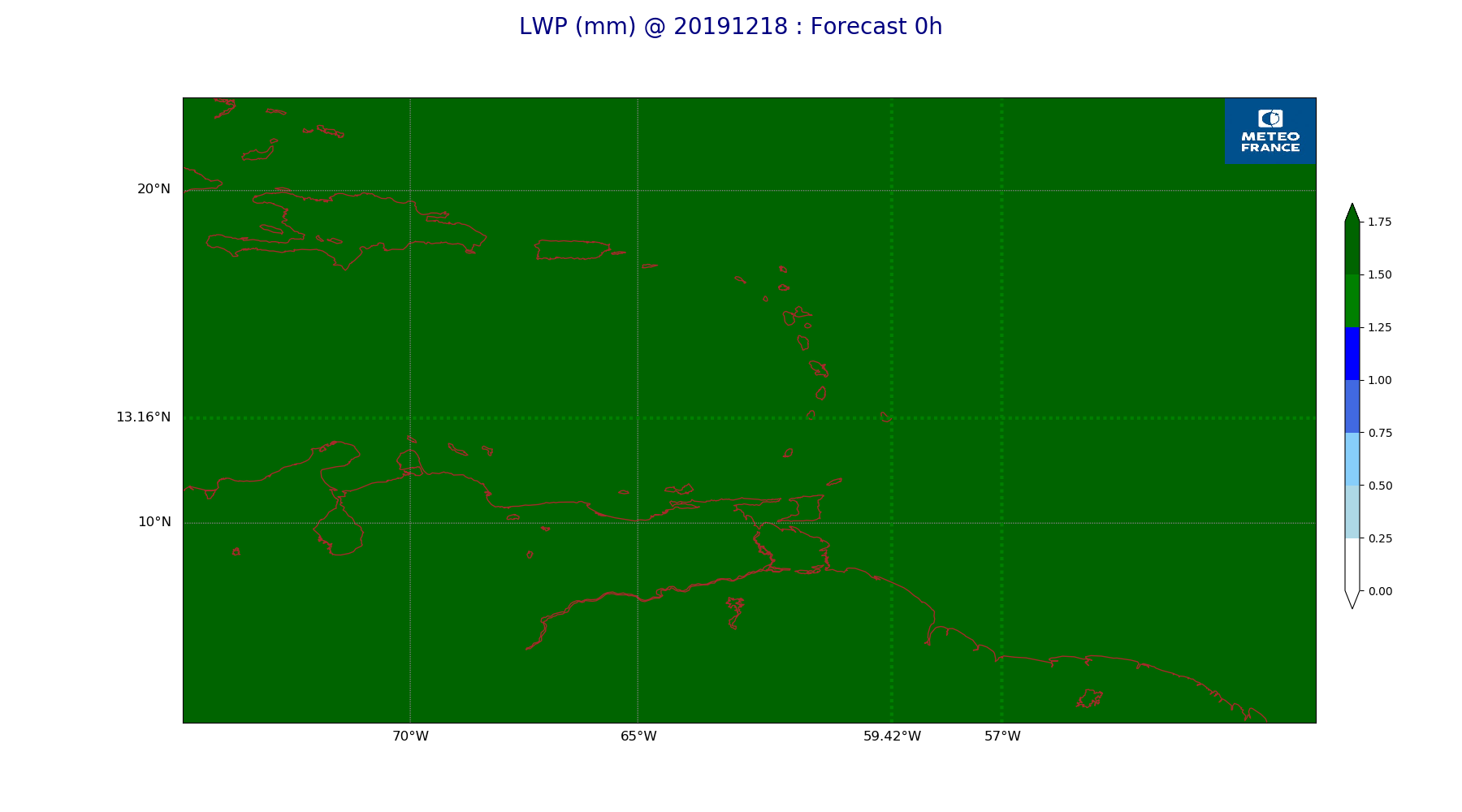
ARPEGE_map2D_LWP_20191218_fct_0.png
2019-12-18 12:05
141K
ARPEGE_map2D_LWP_20191218_fct_12.png
2019-12-18 12:05
141K
ARPEGE_map2D_LWP_20191218_fct_24.png
2019-12-18 12:05
141K
ARPEGE_map2D_LWP_20191218_fct_36.png
2019-12-18 12:05
141K
ARPEGE_map2D_LWP_20191218_fct_48.png
2019-12-18 12:05
141K
ARPEGE_map2D_Low_CC_inf_785hPa_20191218_fct_0.png
2019-12-18 12:00
167K
ARPEGE_map2D_Low_CC_inf_785hPa_20191218_fct_12.png
2019-12-18 12:00
456K
ARPEGE_map2D_Low_CC_inf_785hPa_20191218_fct_24.png
2019-12-18 12:00
418K
ARPEGE_map2D_Low_CC_inf_785hPa_20191218_fct_36.png
2019-12-18 12:00
417K
ARPEGE_map2D_Low_CC_inf_785hPa_20191218_fct_48.png
2019-12-18 12:01
404K
ARPEGE_map2D_Mid_CC_785_450hPa_20191218_fct_0.png
2019-12-18 12:01
168K
ARPEGE_map2D_Mid_CC_785_450hPa_20191218_fct_12.png
2019-12-18 12:01
451K
ARPEGE_map2D_Mid_CC_785_450hPa_20191218_fct_24.png
2019-12-18 12:01
403K
ARPEGE_map2D_Mid_CC_785_450hPa_20191218_fct_36.png
2019-12-18 12:01
482K
ARPEGE_map2D_Mid_CC_785_450hPa_20191218_fct_48.png
2019-12-18 12:01
429K
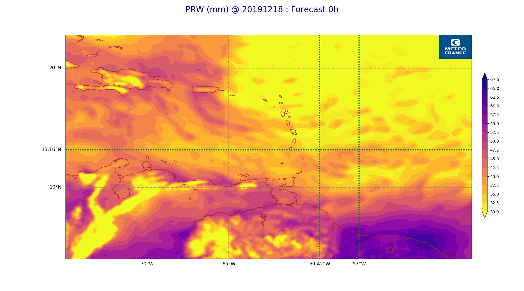
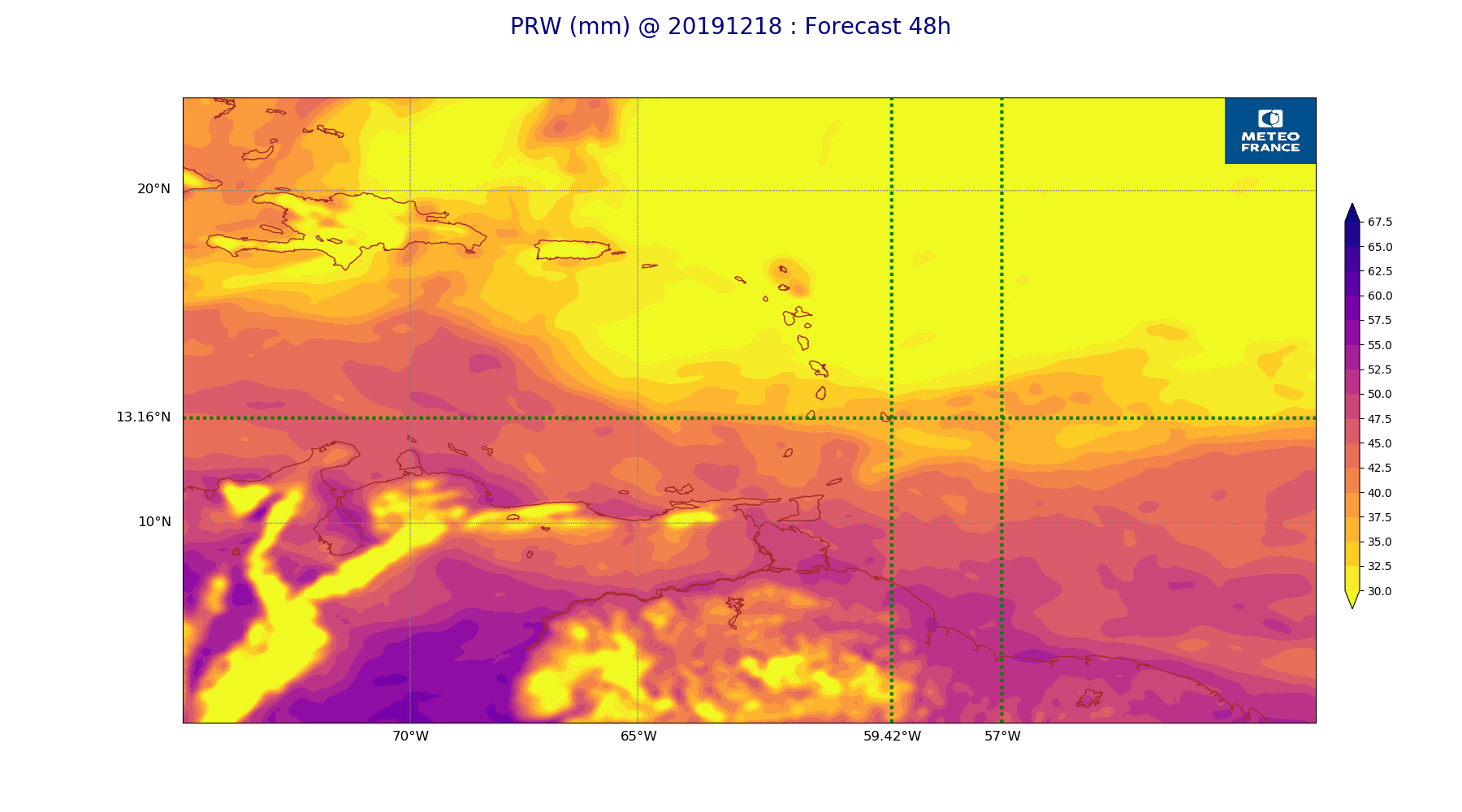
ARPEGE_map2D_PRW_20191218_fct_0.png
2019-12-18 12:03
242K
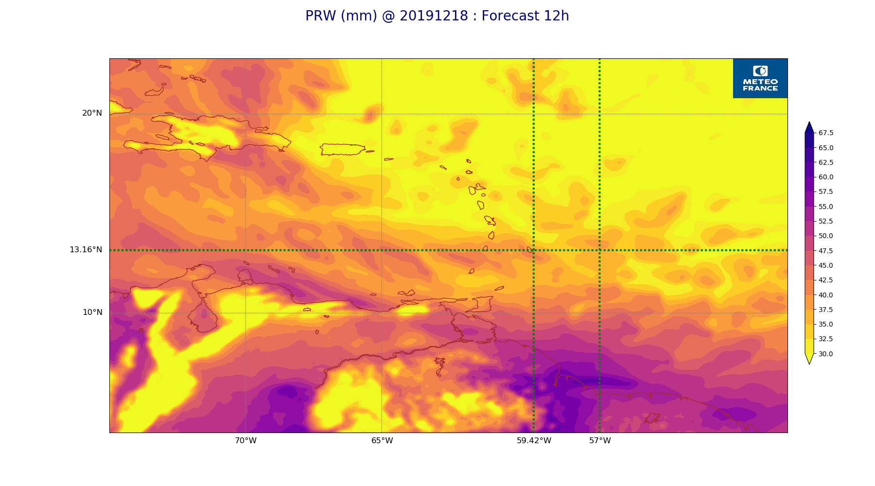
ARPEGE_map2D_PRW_20191218_fct_12.png
2019-12-18 12:03
239K
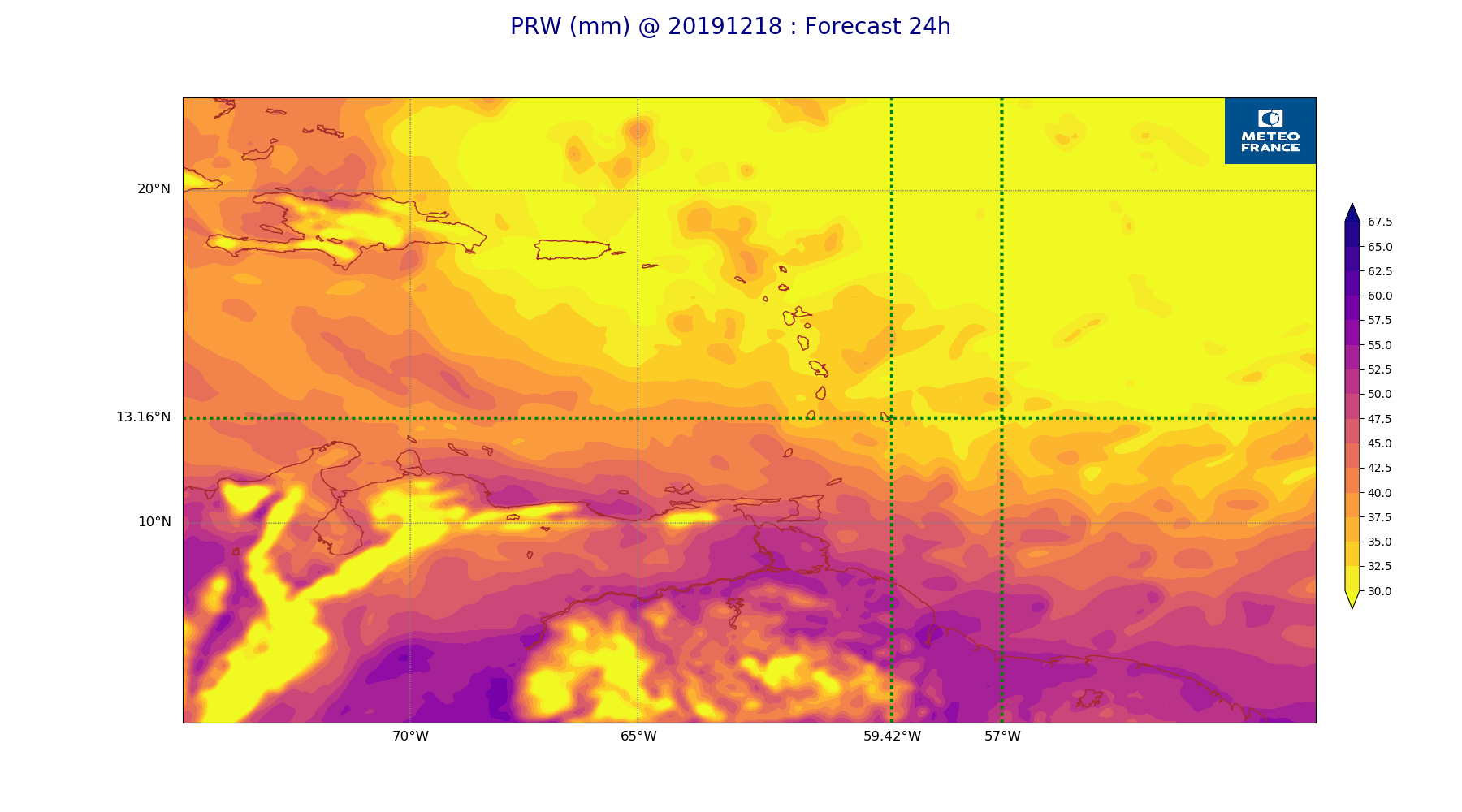
ARPEGE_map2D_PRW_20191218_fct_24.png
2019-12-18 12:03
232K
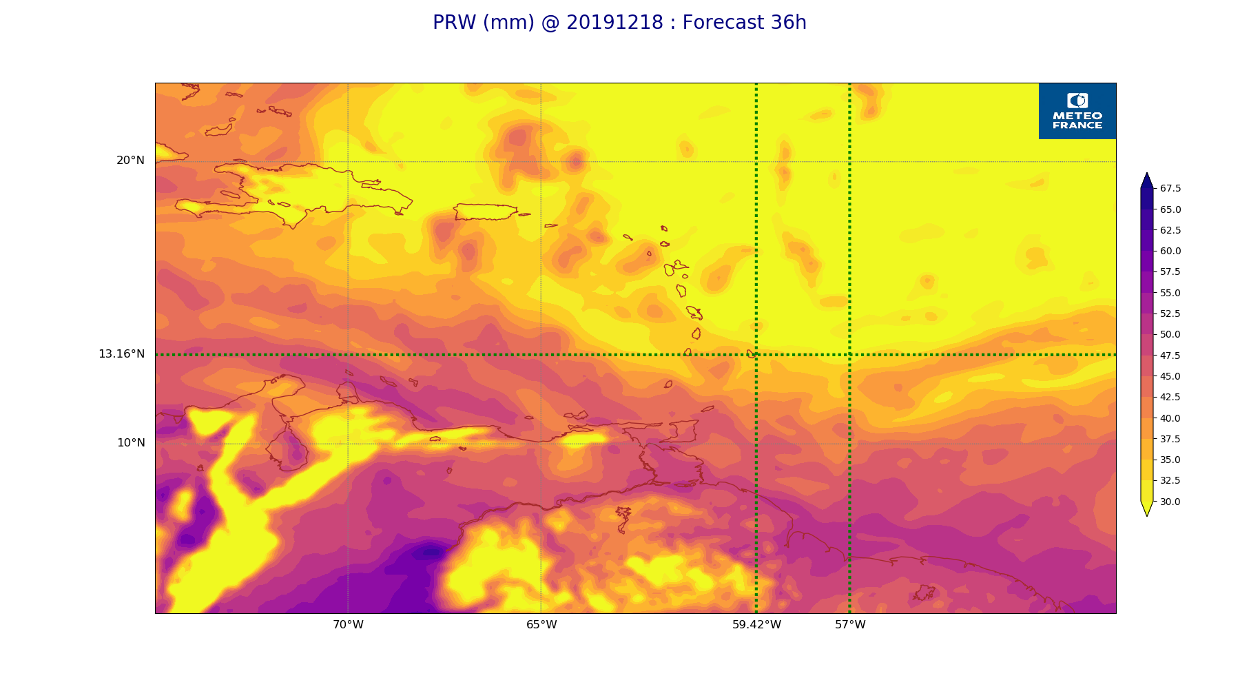
ARPEGE_map2D_PRW_20191218_fct_36.png
2019-12-18 12:03
235K
ARPEGE_map2D_PRW_20191218_fct_48.png
2019-12-18 12:03
225K
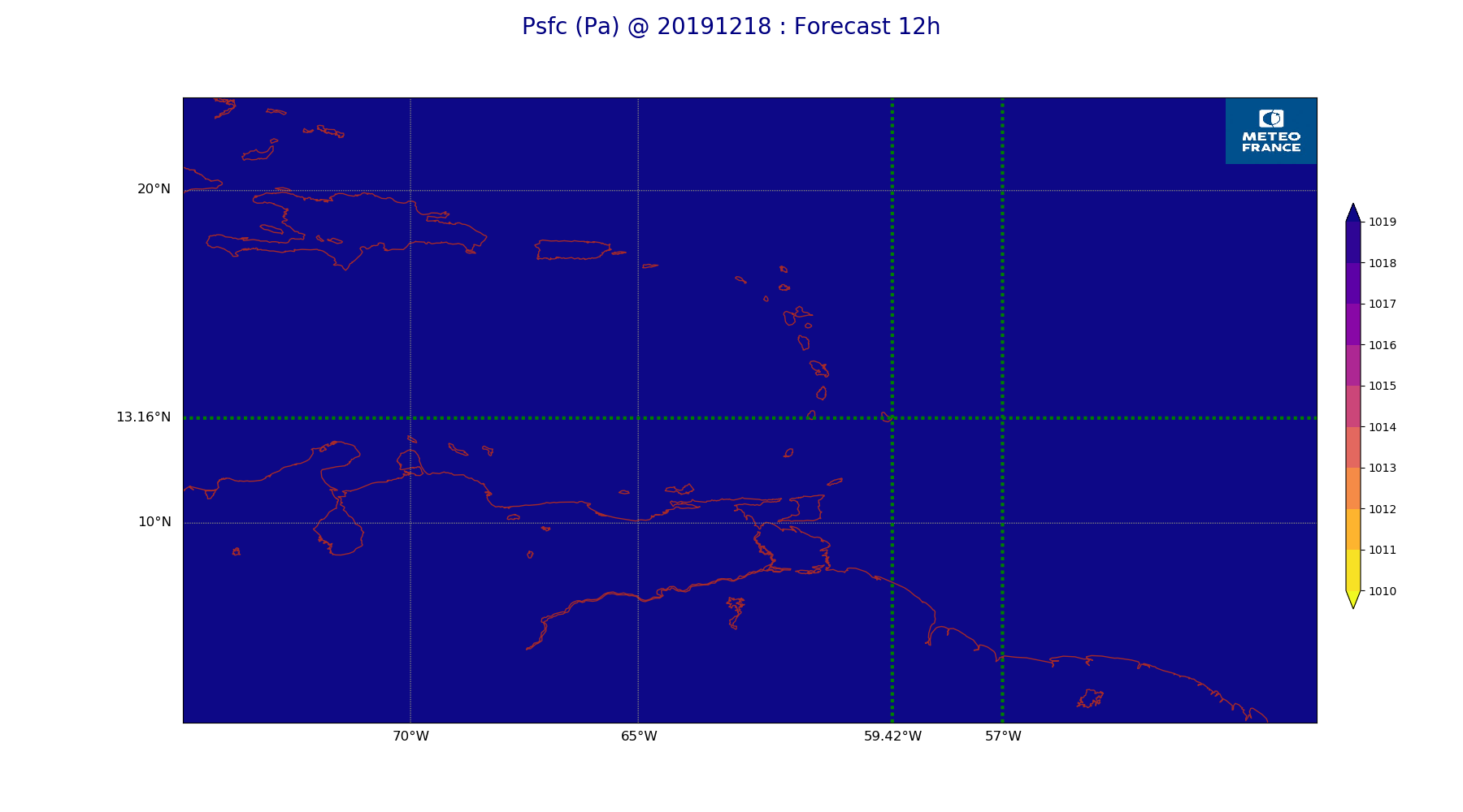
ARPEGE_map2D_Psfc_20191218_fct_0.png
2019-12-18 12:06
147K
ARPEGE_map2D_Psfc_20191218_fct_12.png
2019-12-18 12:06
147K
ARPEGE_map2D_Psfc_20191218_fct_24.png
2019-12-18 12:06
148K
ARPEGE_map2D_Psfc_20191218_fct_36.png
2019-12-18 12:06
148K
ARPEGE_map2D_Psfc_20191218_fct_48.png
2019-12-18 12:07
148K
ARPEGE_map2D_RH_500hPa_20191218_fct_0.png
2019-12-18 11:58
229K
ARPEGE_map2D_RH_500hPa_20191218_fct_12.png
2019-12-18 11:58
218K
ARPEGE_map2D_RH_500hPa_20191218_fct_24.png
2019-12-18 11:58
209K
ARPEGE_map2D_RH_500hPa_20191218_fct_36.png
2019-12-18 11:59
206K
ARPEGE_map2D_RH_500hPa_20191218_fct_48.png
2019-12-18 11:59
204K
ARPEGE_map2D_RH_700hPa_20191218_fct_0.png
2019-12-18 11:58
237K
ARPEGE_map2D_RH_700hPa_20191218_fct_12.png
2019-12-18 11:58
239K
ARPEGE_map2D_RH_700hPa_20191218_fct_24.png
2019-12-18 11:58
234K
ARPEGE_map2D_RH_700hPa_20191218_fct_36.png
2019-12-18 11:58
243K
ARPEGE_map2D_RH_700hPa_20191218_fct_48.png
2019-12-18 11:59
239K
ARPEGE_map2D_RH_850hPa_20191218_fct_0.png
2019-12-18 11:58
300K
ARPEGE_map2D_RH_850hPa_20191218_fct_12.png
2019-12-18 11:58
300K
ARPEGE_map2D_RH_850hPa_20191218_fct_24.png
2019-12-18 11:58
289K
ARPEGE_map2D_RH_850hPa_20191218_fct_36.png
2019-12-18 11:58
290K
ARPEGE_map2D_RH_850hPa_20191218_fct_48.png
2019-12-18 11:59
281K
ARPEGE_map2D_T_500hPa_20191218_fct_0.png
2019-12-18 11:57
174K
ARPEGE_map2D_T_500hPa_20191218_fct_12.png
2019-12-18 11:58
173K
ARPEGE_map2D_T_500hPa_20191218_fct_24.png
2019-12-18 11:58
167K
ARPEGE_map2D_T_500hPa_20191218_fct_36.png
2019-12-18 11:58
170K
ARPEGE_map2D_T_500hPa_20191218_fct_48.png
2019-12-18 11:58
164K
ARPEGE_map2D_T_850hPa_20191218_fct_0.png
2019-12-18 11:58
170K
ARPEGE_map2D_T_850hPa_20191218_fct_12.png
2019-12-18 11:58
179K
ARPEGE_map2D_T_850hPa_20191218_fct_24.png
2019-12-18 11:58
175K
ARPEGE_map2D_T_850hPa_20191218_fct_36.png
2019-12-18 11:58
175K
ARPEGE_map2D_T_850hPa_20191218_fct_48.png
2019-12-18 11:58
174K
ARPEGE_map2D_T_925hPa_20191218_fct_0.png
2019-12-18 11:58
174K
ARPEGE_map2D_T_925hPa_20191218_fct_12.png
2019-12-18 11:58
185K
ARPEGE_map2D_T_925hPa_20191218_fct_24.png
2019-12-18 11:58
181K
ARPEGE_map2D_T_925hPa_20191218_fct_36.png
2019-12-18 11:58
189K
ARPEGE_map2D_T_925hPa_20191218_fct_48.png
2019-12-18 11:58
181K
ARPEGE_map2D_U_200hPa_20191218_fct_0.png
2019-12-18 11:54
181K
ARPEGE_map2D_U_200hPa_20191218_fct_12.png
2019-12-18 11:54
180K
ARPEGE_map2D_U_200hPa_20191218_fct_24.png
2019-12-18 11:55
181K
ARPEGE_map2D_U_200hPa_20191218_fct_36.png
2019-12-18 11:55
181K
ARPEGE_map2D_U_200hPa_20191218_fct_48.png
2019-12-18 11:55
185K
ARPEGE_map2D_U_500hPa_20191218_fct_0.png
2019-12-18 11:54
193K
ARPEGE_map2D_U_500hPa_20191218_fct_12.png
2019-12-18 11:54
193K
ARPEGE_map2D_U_500hPa_20191218_fct_24.png
2019-12-18 11:55
186K
ARPEGE_map2D_U_500hPa_20191218_fct_36.png
2019-12-18 11:55
190K
ARPEGE_map2D_U_500hPa_20191218_fct_48.png
2019-12-18 11:55
187K
ARPEGE_map2D_U_850hPa_20191218_fct_0.png
2019-12-18 11:54
205K
ARPEGE_map2D_U_850hPa_20191218_fct_12.png
2019-12-18 11:54
209K
ARPEGE_map2D_U_850hPa_20191218_fct_24.png
2019-12-18 11:55
207K
ARPEGE_map2D_U_850hPa_20191218_fct_36.png
2019-12-18 11:55
211K
ARPEGE_map2D_U_850hPa_20191218_fct_48.png
2019-12-18 11:55
204K
ARPEGE_map2D_U_925hPa_20191218_fct_0.png
2019-12-18 11:54
198K
ARPEGE_map2D_U_925hPa_20191218_fct_12.png
2019-12-18 11:55
203K
ARPEGE_map2D_U_925hPa_20191218_fct_24.png
2019-12-18 11:55
201K
ARPEGE_map2D_U_925hPa_20191218_fct_36.png
2019-12-18 11:55
204K
ARPEGE_map2D_U_925hPa_20191218_fct_48.png
2019-12-18 11:55
199K
ARPEGE_map2D_V_200hPa_20191218_fct_0.png
2019-12-18 11:55
208K
ARPEGE_map2D_V_200hPa_20191218_fct_12.png
2019-12-18 11:55
209K
ARPEGE_map2D_V_200hPa_20191218_fct_24.png
2019-12-18 11:55
214K
ARPEGE_map2D_V_200hPa_20191218_fct_36.png
2019-12-18 11:55
212K
ARPEGE_map2D_V_200hPa_20191218_fct_48.png
2019-12-18 11:56
217K
ARPEGE_map2D_V_500hPa_20191218_fct_0.png
2019-12-18 11:55
225K
ARPEGE_map2D_V_500hPa_20191218_fct_12.png
2019-12-18 11:55
223K
ARPEGE_map2D_V_500hPa_20191218_fct_24.png
2019-12-18 11:55
217K
ARPEGE_map2D_V_500hPa_20191218_fct_36.png
2019-12-18 11:55
223K
ARPEGE_map2D_V_500hPa_20191218_fct_48.png
2019-12-18 11:56
218K
ARPEGE_map2D_V_850hPa_20191218_fct_0.png
2019-12-18 11:55
266K
ARPEGE_map2D_V_850hPa_20191218_fct_12.png
2019-12-18 11:55
275K
ARPEGE_map2D_V_850hPa_20191218_fct_24.png
2019-12-18 11:55
271K
ARPEGE_map2D_V_850hPa_20191218_fct_36.png
2019-12-18 11:55
276K
ARPEGE_map2D_V_850hPa_20191218_fct_48.png
2019-12-18 11:56
265K
ARPEGE_map2D_V_925hPa_20191218_fct_0.png
2019-12-18 11:55
252K
ARPEGE_map2D_V_925hPa_20191218_fct_12.png
2019-12-18 11:55
255K
ARPEGE_map2D_V_925hPa_20191218_fct_24.png
2019-12-18 11:55
254K
ARPEGE_map2D_V_925hPa_20191218_fct_36.png
2019-12-18 11:55
257K
ARPEGE_map2D_V_925hPa_20191218_fct_48.png
2019-12-18 11:56
250K
ARPEGE_map2D_Vertical_velocity_500hPa_20191218_fct_0.png
2019-12-18 11:54
246K
ARPEGE_map2D_Vertical_velocity_500hPa_20191218_fct_12.png
2019-12-18 11:54
241K
ARPEGE_map2D_Vertical_velocity_500hPa_20191218_fct_24.png
2019-12-18 11:54
237K
ARPEGE_map2D_Vertical_velocity_500hPa_20191218_fct_36.png
2019-12-18 11:54
242K
ARPEGE_map2D_Vertical_velocity_500hPa_20191218_fct_48.png
2019-12-18 11:54
232K
ARPEGE_map2D_Vertical_velocity_700hPa_20191218_fct_0.png
2019-12-18 11:54
288K
ARPEGE_map2D_Vertical_velocity_700hPa_20191218_fct_12.png
2019-12-18 11:54
279K
ARPEGE_map2D_Vertical_velocity_700hPa_20191218_fct_24.png
2019-12-18 11:54
267K
ARPEGE_map2D_Vertical_velocity_700hPa_20191218_fct_36.png
2019-12-18 11:54
278K
ARPEGE_map2D_Vertical_velocity_700hPa_20191218_fct_48.png
2019-12-18 11:54
263K
ARPEGE_map2D_Vertical_velocity_850hPa_20191218_fct_0.png
2019-12-18 11:54
331K
ARPEGE_map2D_Vertical_velocity_850hPa_20191218_fct_12.png
2019-12-18 11:54
314K
ARPEGE_map2D_Vertical_velocity_850hPa_20191218_fct_24.png
2019-12-18 11:54
298K
ARPEGE_map2D_Vertical_velocity_850hPa_20191218_fct_36.png
2019-12-18 11:54
308K
ARPEGE_map2D_Vertical_velocity_850hPa_20191218_fct_48.png
2019-12-18 11:54
296K
ARPEGE_map2D_qv_500hPa_20191218_fct_0.png
2019-12-18 11:59
158K
ARPEGE_map2D_qv_500hPa_20191218_fct_12.png
2019-12-18 11:59
158K
ARPEGE_map2D_qv_500hPa_20191218_fct_24.png
2019-12-18 11:59
158K
ARPEGE_map2D_qv_500hPa_20191218_fct_36.png
2019-12-18 11:59
158K
ARPEGE_map2D_qv_500hPa_20191218_fct_48.png
2019-12-18 11:59
158K
ARPEGE_map2D_qv_850hPa_20191218_fct_0.png
2019-12-18 11:59
253K
ARPEGE_map2D_qv_850hPa_20191218_fct_12.png
2019-12-18 11:59
252K
ARPEGE_map2D_qv_850hPa_20191218_fct_24.png
2019-12-18 11:59
244K
ARPEGE_map2D_qv_850hPa_20191218_fct_36.png
2019-12-18 11:59
244K
ARPEGE_map2D_qv_850hPa_20191218_fct_48.png
2019-12-18 11:59
238K
ARPEGE_map2D_qv_925hPa_20191218_fct_0.png
2019-12-18 11:59
228K
ARPEGE_map2D_qv_925hPa_20191218_fct_12.png
2019-12-18 11:59
233K
ARPEGE_map2D_qv_925hPa_20191218_fct_24.png
2019-12-18 11:59
227K
ARPEGE_map2D_qv_925hPa_20191218_fct_36.png
2019-12-18 11:59
236K
ARPEGE_map2D_qv_925hPa_20191218_fct_48.png
2019-12-18 11:59
232K
ARPEGE_map2D_theta_500hPa_20191218_fct_0.png
2019-12-18 11:57
171K
ARPEGE_map2D_theta_500hPa_20191218_fct_12.png
2019-12-18 11:57
173K
ARPEGE_map2D_theta_500hPa_20191218_fct_24.png
2019-12-18 11:57
166K
ARPEGE_map2D_theta_500hPa_20191218_fct_36.png
2019-12-18 11:57
170K
ARPEGE_map2D_theta_500hPa_20191218_fct_48.png
2019-12-18 11:57
163K
ARPEGE_map2D_theta_850hPa_20191218_fct_0.png
2019-12-18 11:57
173K
ARPEGE_map2D_theta_850hPa_20191218_fct_12.png
2019-12-18 11:57
182K
ARPEGE_map2D_theta_850hPa_20191218_fct_24.png
2019-12-18 11:57
175K
ARPEGE_map2D_theta_850hPa_20191218_fct_36.png
2019-12-18 11:57
178K
ARPEGE_map2D_theta_850hPa_20191218_fct_48.png
2019-12-18 11:57
175K
ARPEGE_map2D_theta_925hPa_20191218_fct_0.png
2019-12-18 11:57
175K
ARPEGE_map2D_theta_925hPa_20191218_fct_12.png
2019-12-18 11:57
184K
ARPEGE_map2D_theta_925hPa_20191218_fct_24.png
2019-12-18 11:57
179K
ARPEGE_map2D_theta_925hPa_20191218_fct_36.png
2019-12-18 11:57
185K
ARPEGE_map2D_theta_925hPa_20191218_fct_48.png
2019-12-18 11:57
183K
ARPEGE_map2D_theta_e_200hPa_20191218_fct_0.png
2019-12-18 11:56
143K
ARPEGE_map2D_theta_e_200hPa_20191218_fct_12.png
2019-12-18 11:56
142K
ARPEGE_map2D_theta_e_200hPa_20191218_fct_24.png
2019-12-18 11:57
151K
ARPEGE_map2D_theta_e_200hPa_20191218_fct_36.png
2019-12-18 11:57
145K
ARPEGE_map2D_theta_e_200hPa_20191218_fct_48.png
2019-12-18 11:57
147K
ARPEGE_map2D_theta_e_500hPa_20191218_fct_0.png
2019-12-18 11:56
175K
ARPEGE_map2D_theta_e_500hPa_20191218_fct_12.png
2019-12-18 11:56
172K
ARPEGE_map2D_theta_e_500hPa_20191218_fct_24.png
2019-12-18 11:57
169K
ARPEGE_map2D_theta_e_500hPa_20191218_fct_36.png
2019-12-18 11:57
168K
ARPEGE_map2D_theta_e_500hPa_20191218_fct_48.png
2019-12-18 11:57
171K
ARPEGE_map2D_theta_e_850hPa_20191218_fct_0.png
2019-12-18 11:56
227K
ARPEGE_map2D_theta_e_850hPa_20191218_fct_12.png
2019-12-18 11:57
226K
ARPEGE_map2D_theta_e_850hPa_20191218_fct_24.png
2019-12-18 11:57
218K
ARPEGE_map2D_theta_e_850hPa_20191218_fct_36.png
2019-12-18 11:57
217K
ARPEGE_map2D_theta_e_850hPa_20191218_fct_48.png
2019-12-18 11:57
211K
ARPEGE_map2D_theta_e_925hPa_20191218_fct_0.png
2019-12-18 11:56
209K
ARPEGE_map2D_theta_e_925hPa_20191218_fct_12.png
2019-12-18 11:57
212K
ARPEGE_map2D_theta_e_925hPa_20191218_fct_24.png
2019-12-18 11:57
205K
ARPEGE_map2D_theta_e_925hPa_20191218_fct_36.png
2019-12-18 11:57
215K
ARPEGE_map2D_theta_e_925hPa_20191218_fct_48.png
2019-12-18 11:57
208K
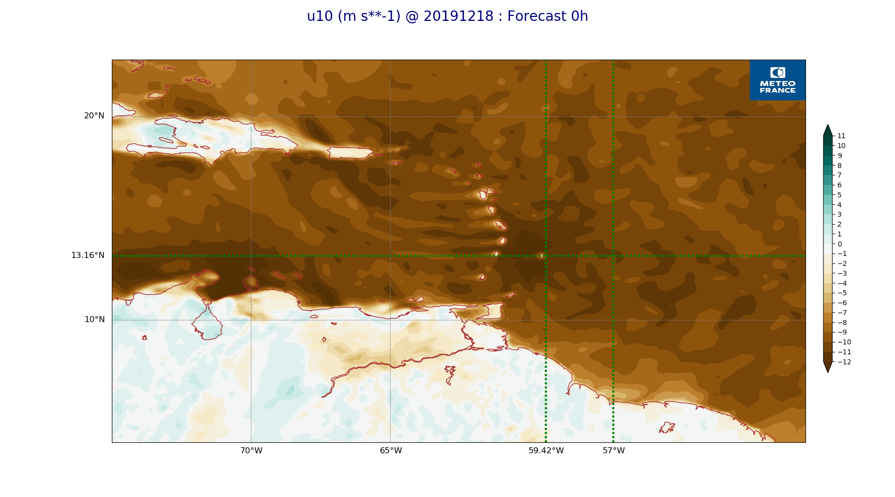
ARPEGE_map2D_u10_20191218_fct_0.png
2019-12-18 12:03
233K
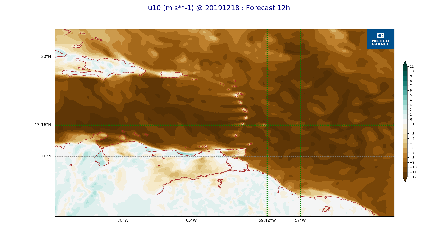
ARPEGE_map2D_u10_20191218_fct_12.png
2019-12-18 12:04
242K
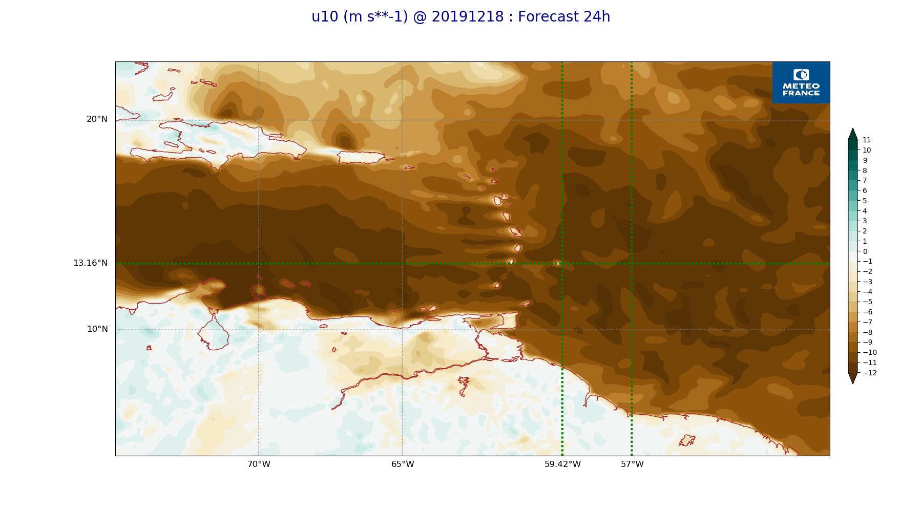
ARPEGE_map2D_u10_20191218_fct_24.png
2019-12-18 12:04
235K
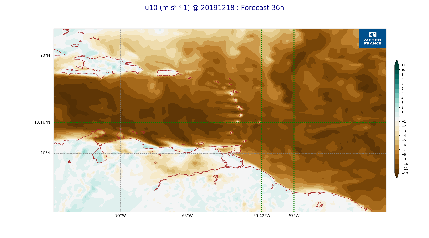
ARPEGE_map2D_u10_20191218_fct_36.png
2019-12-18 12:04
244K
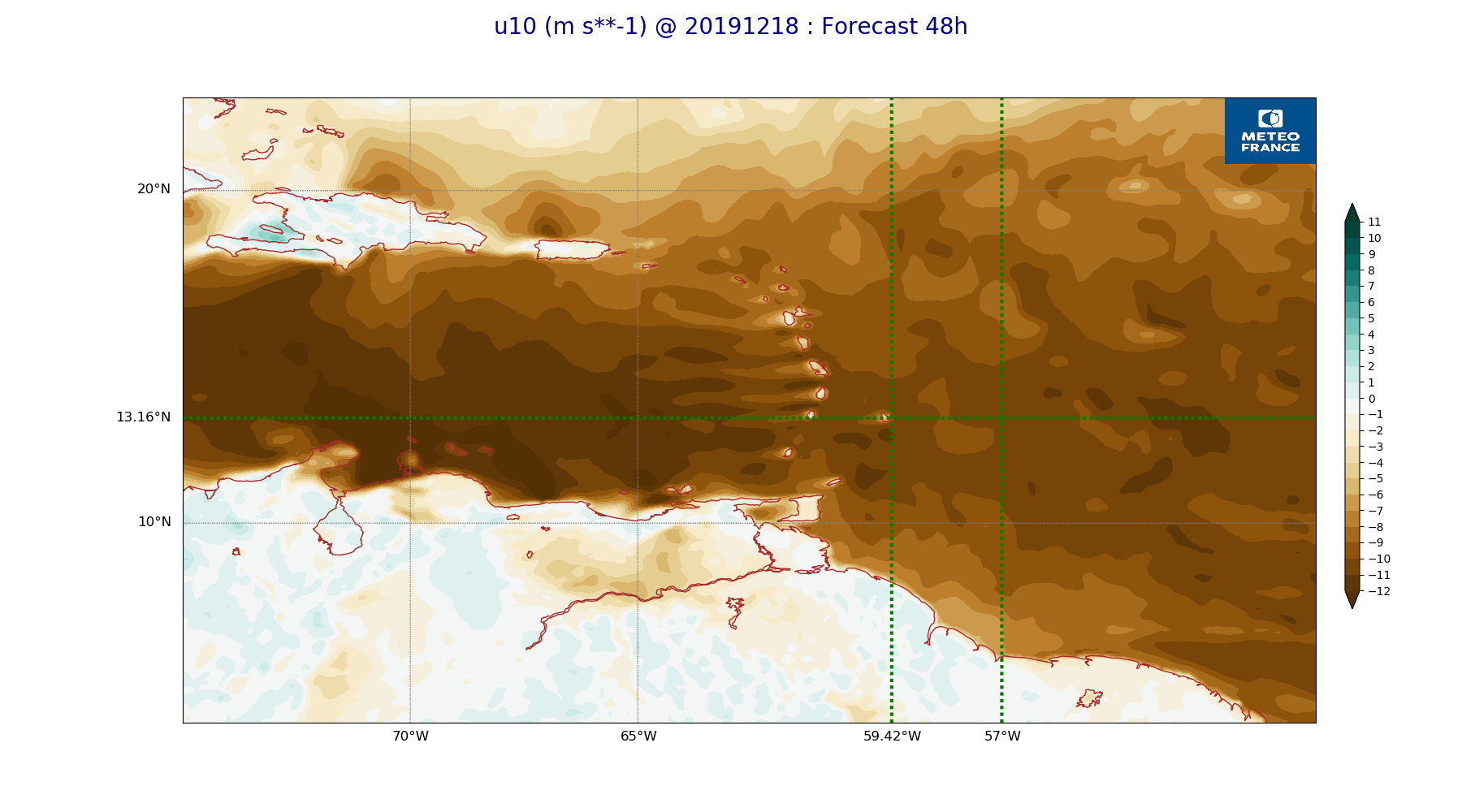
ARPEGE_map2D_u10_20191218_fct_48.png
2019-12-18 12:04
232K
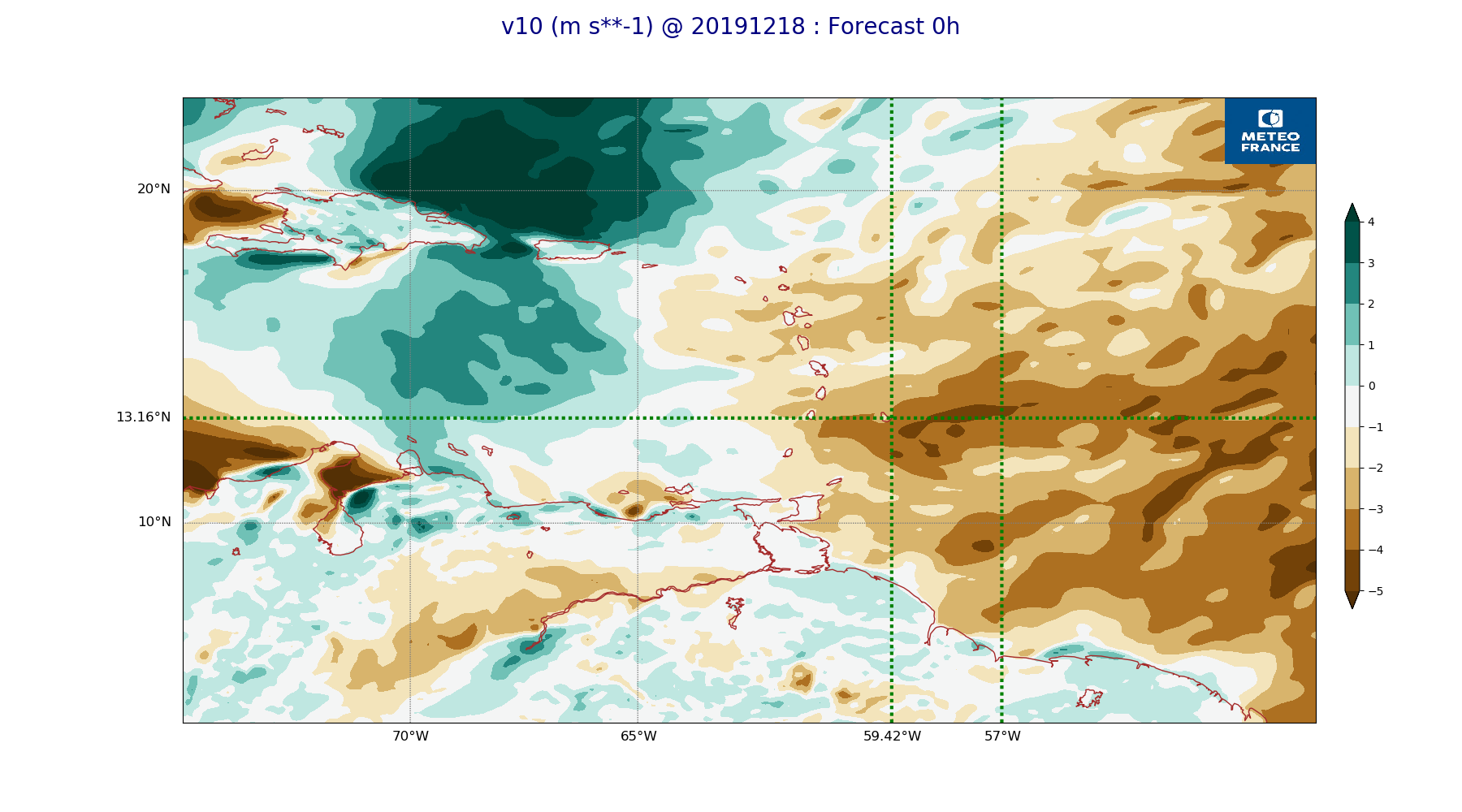
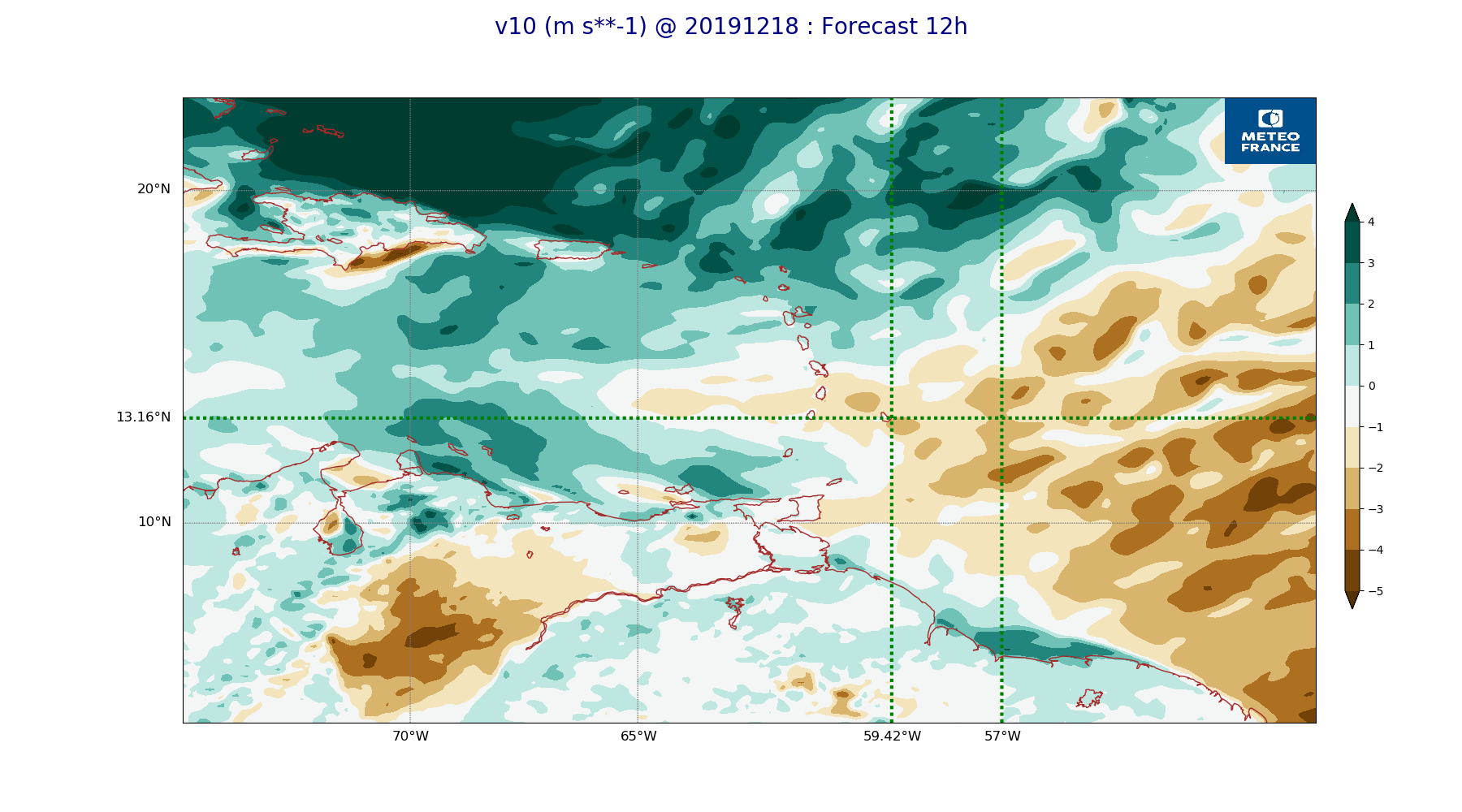
ARPEGE_map2D_v10_20191218_fct_0.png
2019-12-18 12:04
223K
ARPEGE_map2D_v10_20191218_fct_12.png
2019-12-18 12:04
223K
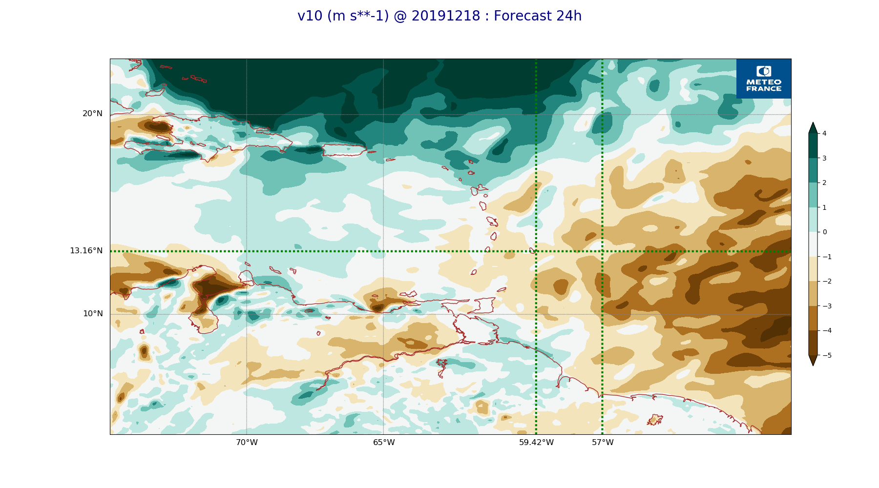
ARPEGE_map2D_v10_20191218_fct_24.png
2019-12-18 12:04
218K
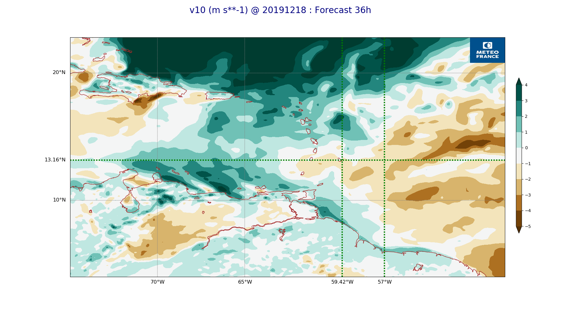
ARPEGE_map2D_v10_20191218_fct_36.png
2019-12-18 12:04
220K
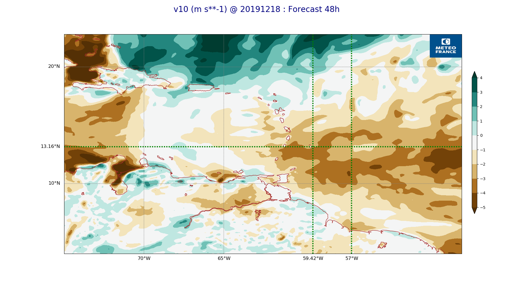
ARPEGE_map2D_v10_20191218_fct_48.png
2019-12-18 12:05
219K