Index of /aeris/eurec4a-data/FORECASTS/GLOBAL/ARPEGE/2019/20191219/map2D
Name
Last modified
Size
Parent Directory
-
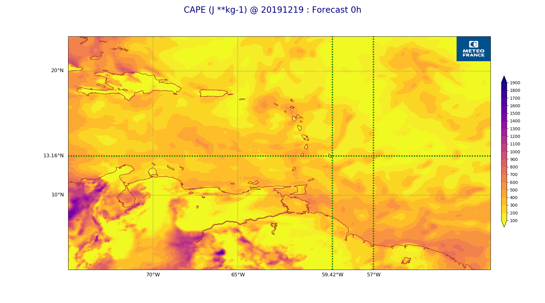
ARPEGE_map2D_CAPE_20191219_fct_0.png
2019-12-19 12:06
265K
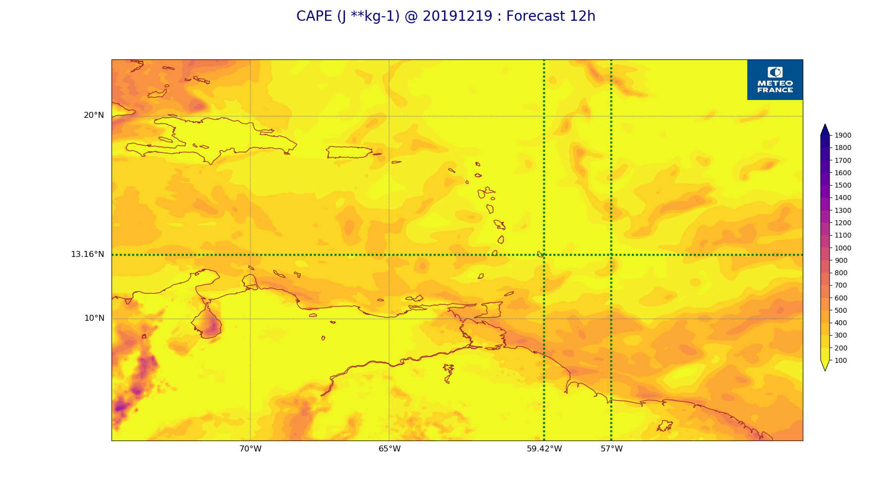
ARPEGE_map2D_CAPE_20191219_fct_12.png
2019-12-19 12:07
232K
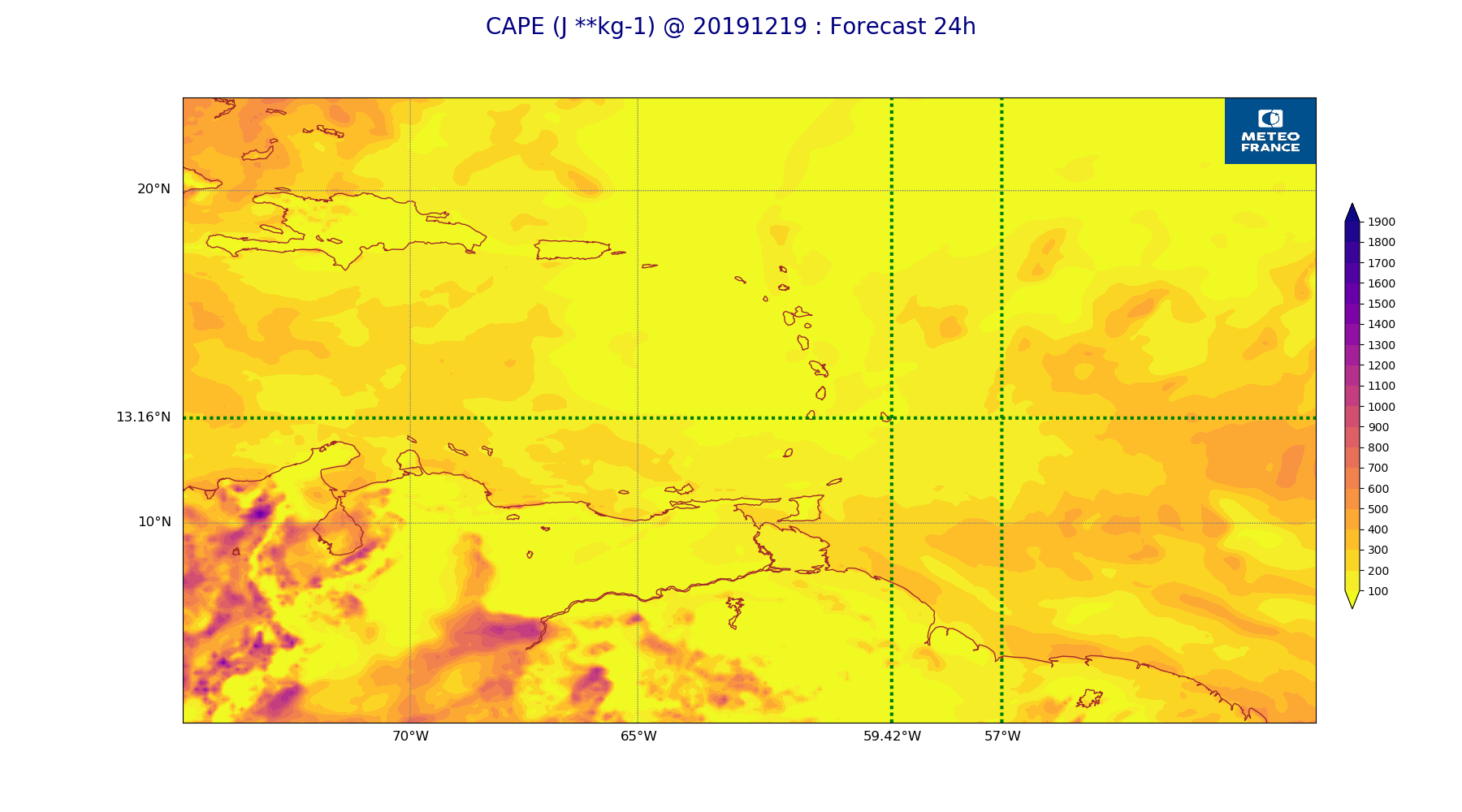
ARPEGE_map2D_CAPE_20191219_fct_24.png
2019-12-19 12:07
241K
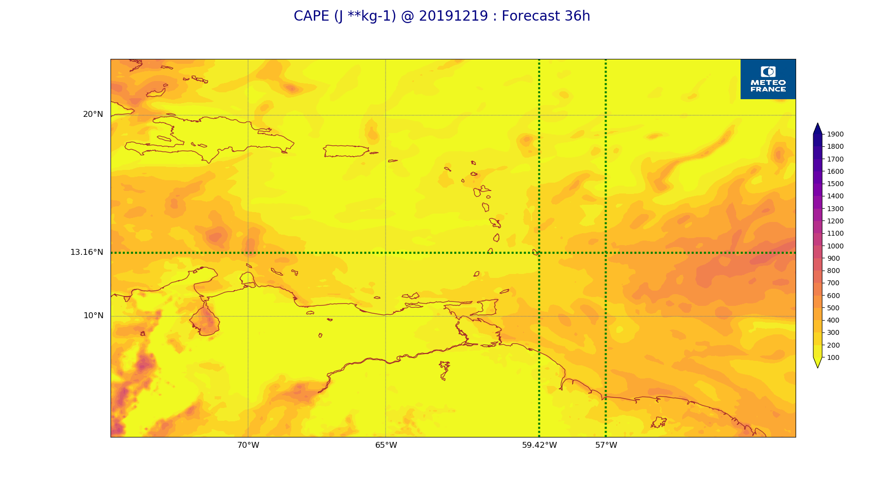
ARPEGE_map2D_CAPE_20191219_fct_36.png
2019-12-19 12:07
225K
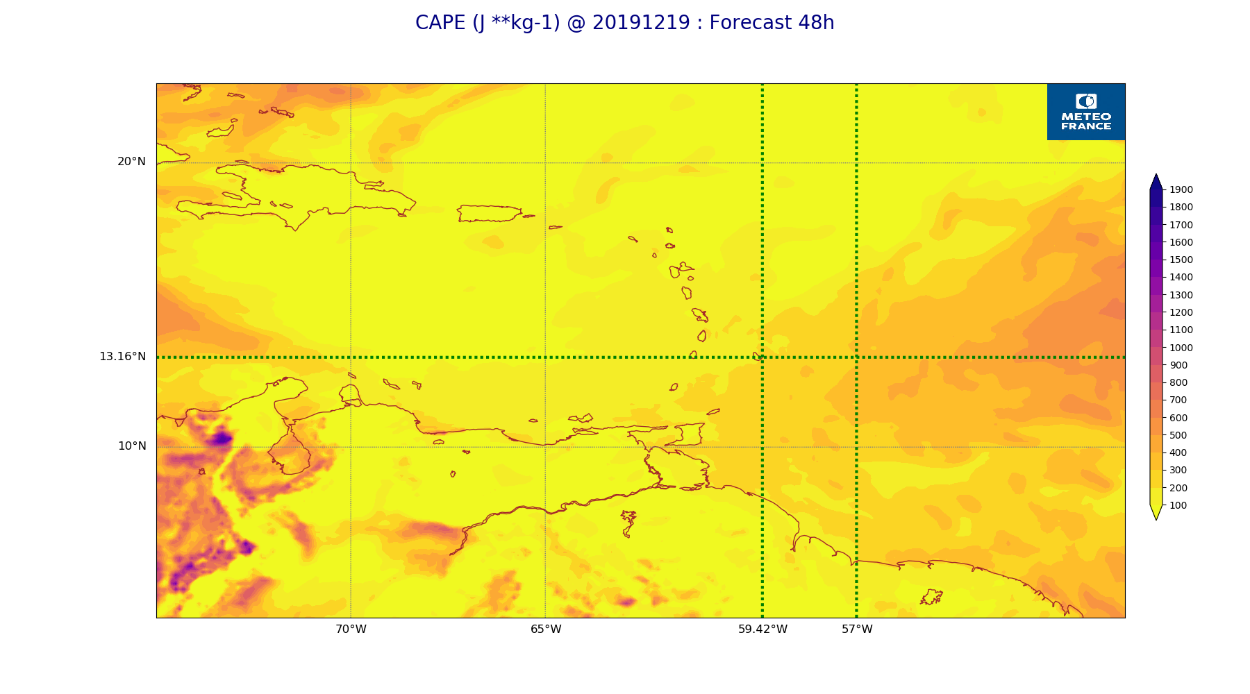
ARPEGE_map2D_CAPE_20191219_fct_48.png
2019-12-19 12:07
228K
ARPEGE_map2D_Cum_3h_RAIN_20191219_fct_0.png
2019-12-19 12:02
151K
ARPEGE_map2D_Cum_3h_RAIN_20191219_fct_12.png
2019-12-19 12:02
217K
ARPEGE_map2D_Cum_3h_RAIN_20191219_fct_24.png
2019-12-19 12:02
236K
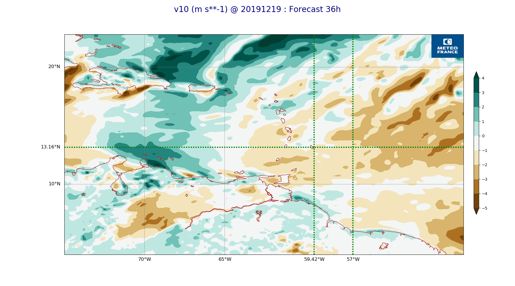
ARPEGE_map2D_Cum_3h_RAIN_20191219_fct_36.png
2019-12-19 12:02
189K
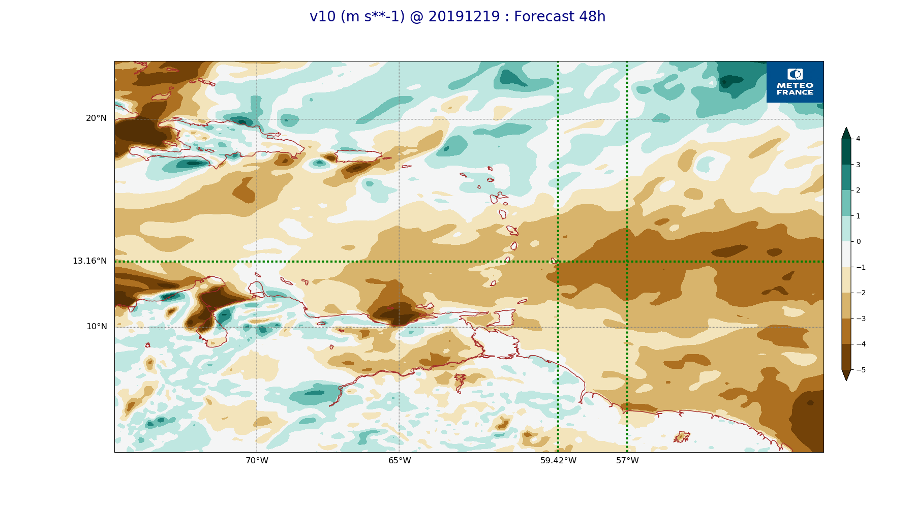
ARPEGE_map2D_Cum_3h_RAIN_20191219_fct_48.png
2019-12-19 12:02
179K
ARPEGE_map2D_Fraction_cloud_cover_200hPa_20191219_fct_0.png
2019-12-19 11:56
161K
ARPEGE_map2D_Fraction_cloud_cover_200hPa_20191219_fct_12.png
2019-12-19 11:56
337K
ARPEGE_map2D_Fraction_cloud_cover_200hPa_20191219_fct_24.png
2019-12-19 11:56
383K
ARPEGE_map2D_Fraction_cloud_cover_200hPa_20191219_fct_36.png
2019-12-19 11:56
371K
ARPEGE_map2D_Fraction_cloud_cover_200hPa_20191219_fct_48.png
2019-12-19 11:56
413K
ARPEGE_map2D_Fraction_cloud_cover_500hPa_20191219_fct_0.png
2019-12-19 11:56
161K
ARPEGE_map2D_Fraction_cloud_cover_500hPa_20191219_fct_12.png
2019-12-19 11:56
388K
ARPEGE_map2D_Fraction_cloud_cover_500hPa_20191219_fct_24.png
2019-12-19 11:56
375K
ARPEGE_map2D_Fraction_cloud_cover_500hPa_20191219_fct_36.png
2019-12-19 11:56
438K
ARPEGE_map2D_Fraction_cloud_cover_500hPa_20191219_fct_48.png
2019-12-19 11:56
383K
ARPEGE_map2D_Fraction_cloud_cover_850hPa_20191219_fct_0.png
2019-12-19 11:56
161K
ARPEGE_map2D_Fraction_cloud_cover_850hPa_20191219_fct_12.png
2019-12-19 11:56
671K
ARPEGE_map2D_Fraction_cloud_cover_850hPa_20191219_fct_24.png
2019-12-19 11:56
682K
ARPEGE_map2D_Fraction_cloud_cover_850hPa_20191219_fct_36.png
2019-12-19 11:56
666K
ARPEGE_map2D_Fraction_cloud_cover_850hPa_20191219_fct_48.png
2019-12-19 11:56
667K
ARPEGE_map2D_Fraction_cloud_cover_925hPa_20191219_fct_0.png
2019-12-19 11:56
161K
ARPEGE_map2D_Fraction_cloud_cover_925hPa_20191219_fct_12.png
2019-12-19 11:56
668K
ARPEGE_map2D_Fraction_cloud_cover_925hPa_20191219_fct_24.png
2019-12-19 11:56
696K
ARPEGE_map2D_Fraction_cloud_cover_925hPa_20191219_fct_36.png
2019-12-19 11:56
706K
ARPEGE_map2D_Fraction_cloud_cover_925hPa_20191219_fct_48.png
2019-12-19 11:56
704K
ARPEGE_map2D_Geopotential_0_7_PVU_20191219_fct_0.png
2019-12-19 11:59
207K
ARPEGE_map2D_Geopotential_0_7_PVU_20191219_fct_12.png
2019-12-19 11:59
211K
ARPEGE_map2D_Geopotential_0_7_PVU_20191219_fct_24.png
2019-12-19 11:59
206K
ARPEGE_map2D_Geopotential_0_7_PVU_20191219_fct_36.png
2019-12-19 11:59
202K
ARPEGE_map2D_Geopotential_0_7_PVU_20191219_fct_48.png
2019-12-19 11:59
198K
ARPEGE_map2D_High_CC_sup_450hPa_20191219_fct_0.png
2019-12-19 12:01
167K
ARPEGE_map2D_High_CC_sup_450hPa_20191219_fct_12.png
2019-12-19 12:01
257K
ARPEGE_map2D_High_CC_sup_450hPa_20191219_fct_24.png
2019-12-19 12:01
238K
ARPEGE_map2D_High_CC_sup_450hPa_20191219_fct_36.png
2019-12-19 12:01
271K
ARPEGE_map2D_High_CC_sup_450hPa_20191219_fct_48.png
2019-12-19 12:01
250K
ARPEGE_map2D_IWP_20191219_fct_0.png
2019-12-19 12:05
151K
ARPEGE_map2D_IWP_20191219_fct_12.png
2019-12-19 12:05
151K
ARPEGE_map2D_IWP_20191219_fct_24.png
2019-12-19 12:05
151K
ARPEGE_map2D_IWP_20191219_fct_36.png
2019-12-19 12:05
151K
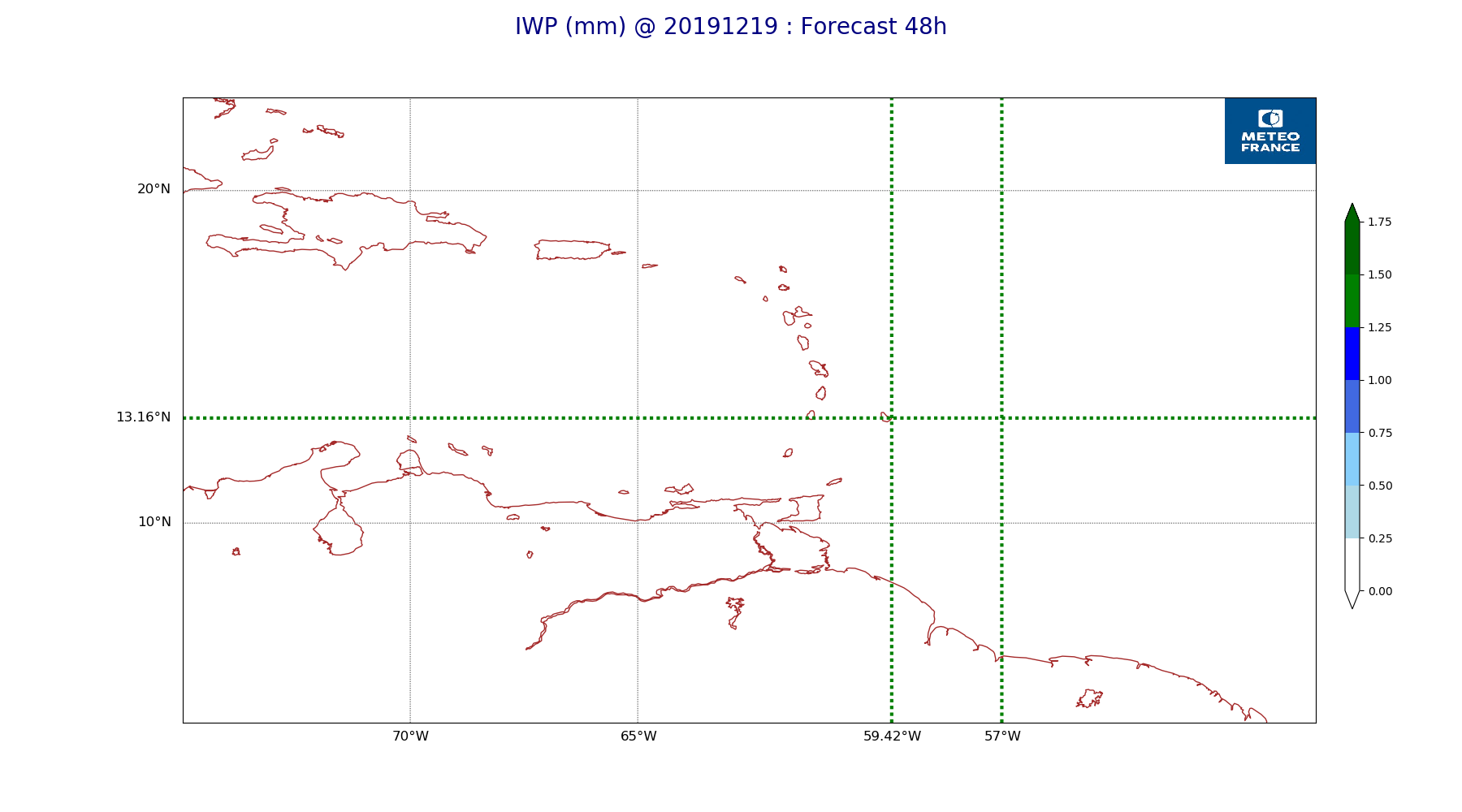
ARPEGE_map2D_IWP_20191219_fct_48.png
2019-12-19 12:06
151K
ARPEGE_map2D_LWP_20191219_fct_0.png
2019-12-19 12:04
141K
ARPEGE_map2D_LWP_20191219_fct_12.png
2019-12-19 12:05
141K
ARPEGE_map2D_LWP_20191219_fct_24.png
2019-12-19 12:05
141K
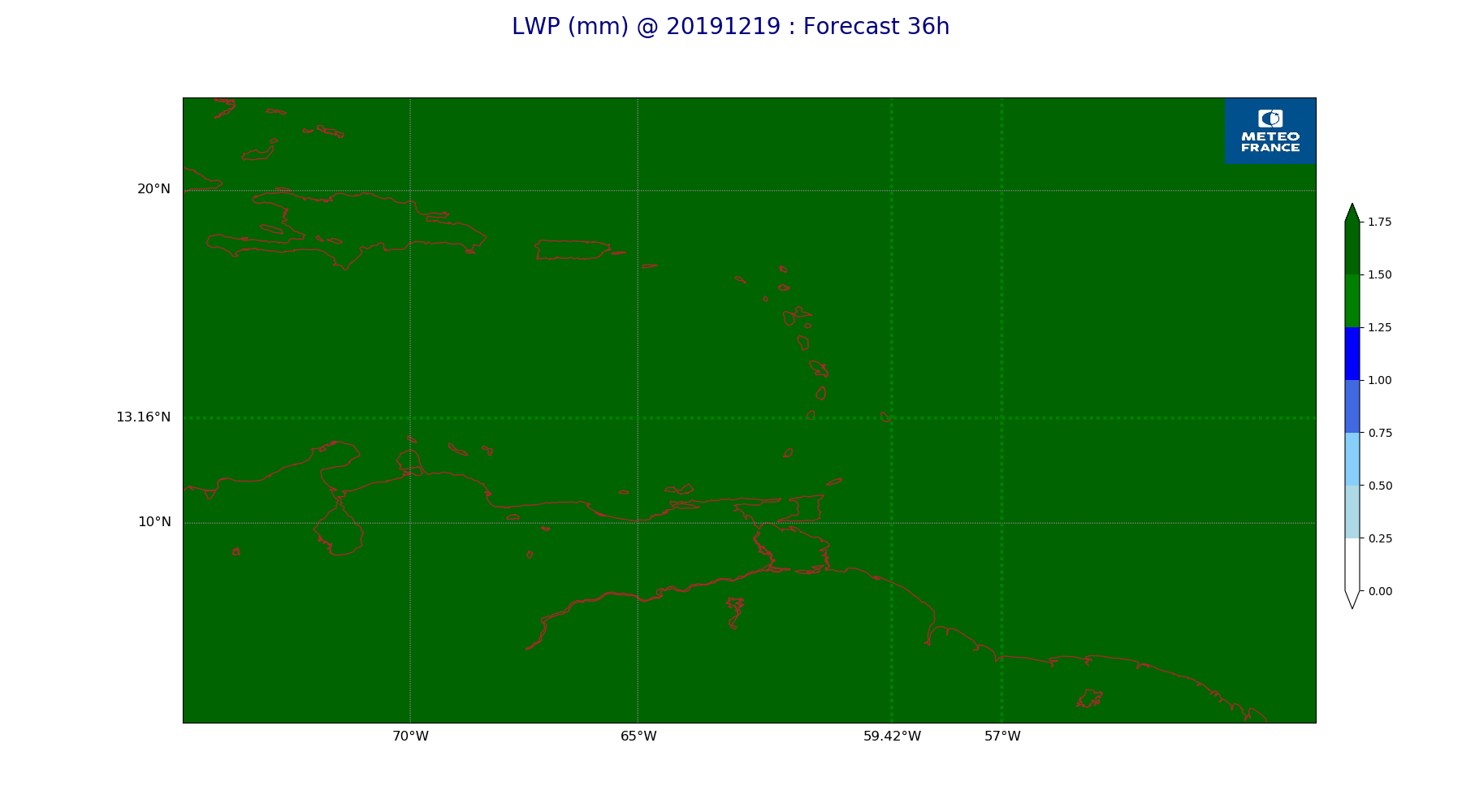
ARPEGE_map2D_LWP_20191219_fct_36.png
2019-12-19 12:05
141K
ARPEGE_map2D_LWP_20191219_fct_48.png
2019-12-19 12:05
141K
ARPEGE_map2D_Low_CC_inf_785hPa_20191219_fct_0.png
2019-12-19 11:59
167K
ARPEGE_map2D_Low_CC_inf_785hPa_20191219_fct_12.png
2019-12-19 12:00
443K
ARPEGE_map2D_Low_CC_inf_785hPa_20191219_fct_24.png
2019-12-19 12:00
411K
ARPEGE_map2D_Low_CC_inf_785hPa_20191219_fct_36.png
2019-12-19 12:00
429K
ARPEGE_map2D_Low_CC_inf_785hPa_20191219_fct_48.png
2019-12-19 12:00
390K
ARPEGE_map2D_Mid_CC_785_450hPa_20191219_fct_0.png
2019-12-19 12:00
168K
ARPEGE_map2D_Mid_CC_785_450hPa_20191219_fct_12.png
2019-12-19 12:00
451K
ARPEGE_map2D_Mid_CC_785_450hPa_20191219_fct_24.png
2019-12-19 12:00
450K
ARPEGE_map2D_Mid_CC_785_450hPa_20191219_fct_36.png
2019-12-19 12:01
471K
ARPEGE_map2D_Mid_CC_785_450hPa_20191219_fct_48.png
2019-12-19 12:01
426K
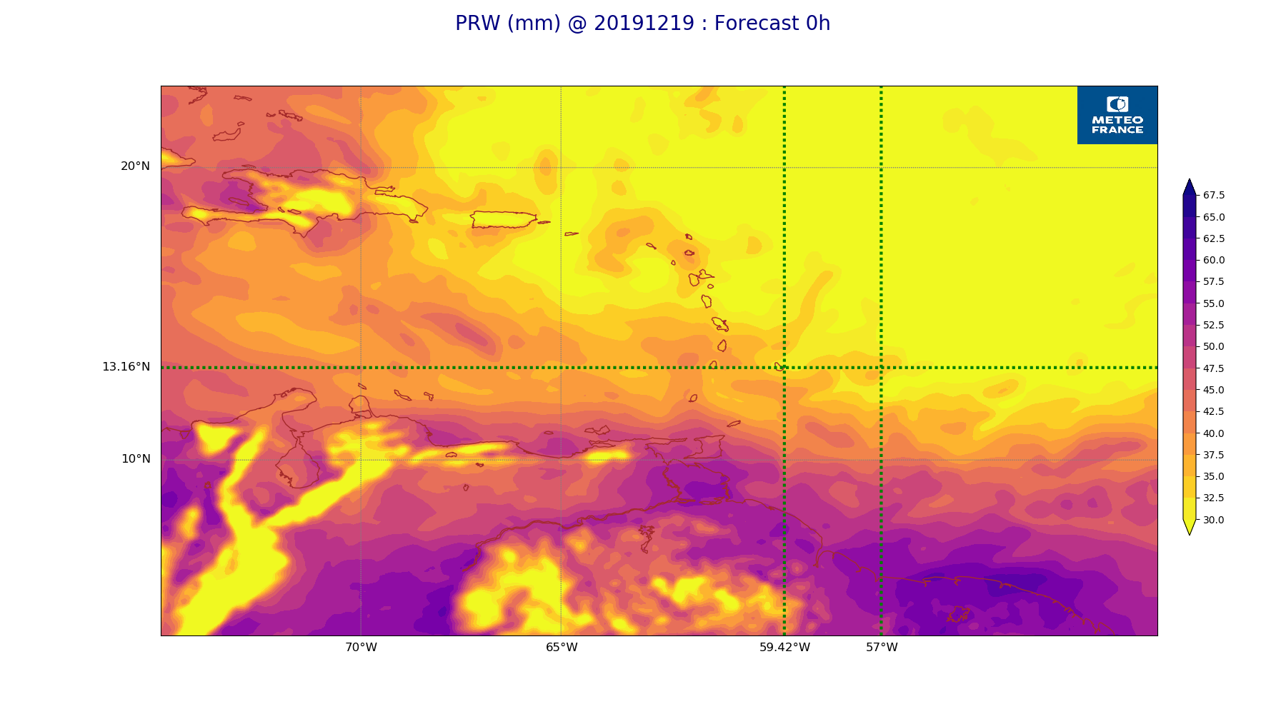
ARPEGE_map2D_PRW_20191219_fct_0.png
2019-12-19 12:02
233K
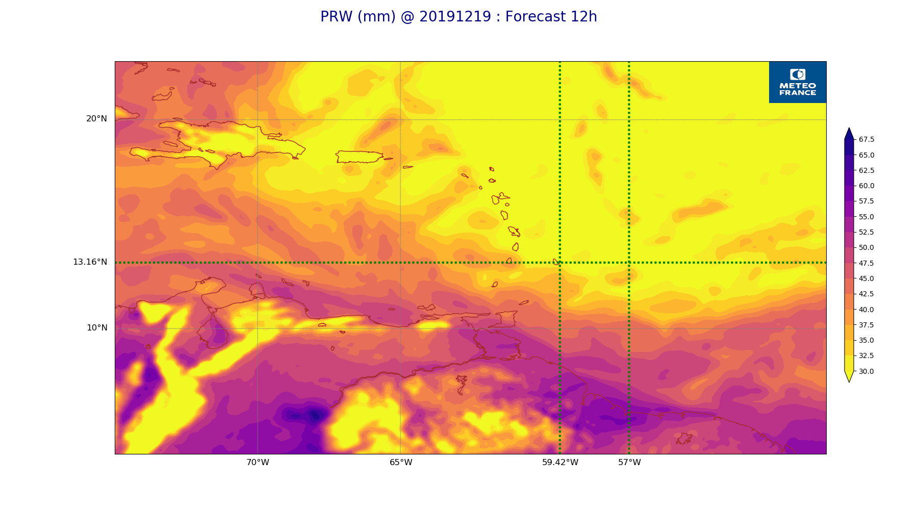
ARPEGE_map2D_PRW_20191219_fct_12.png
2019-12-19 12:02
236K
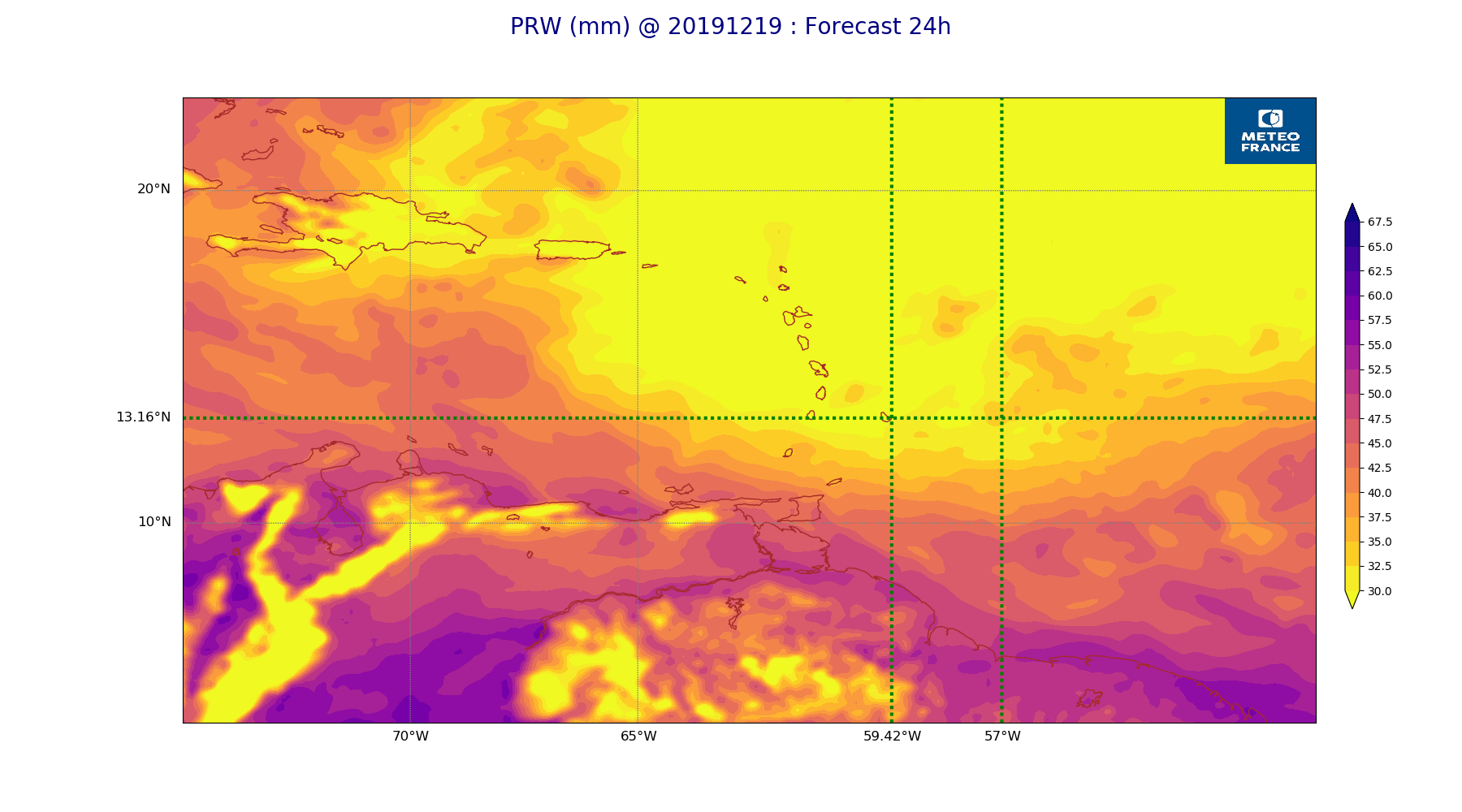
ARPEGE_map2D_PRW_20191219_fct_24.png
2019-12-19 12:03
229K
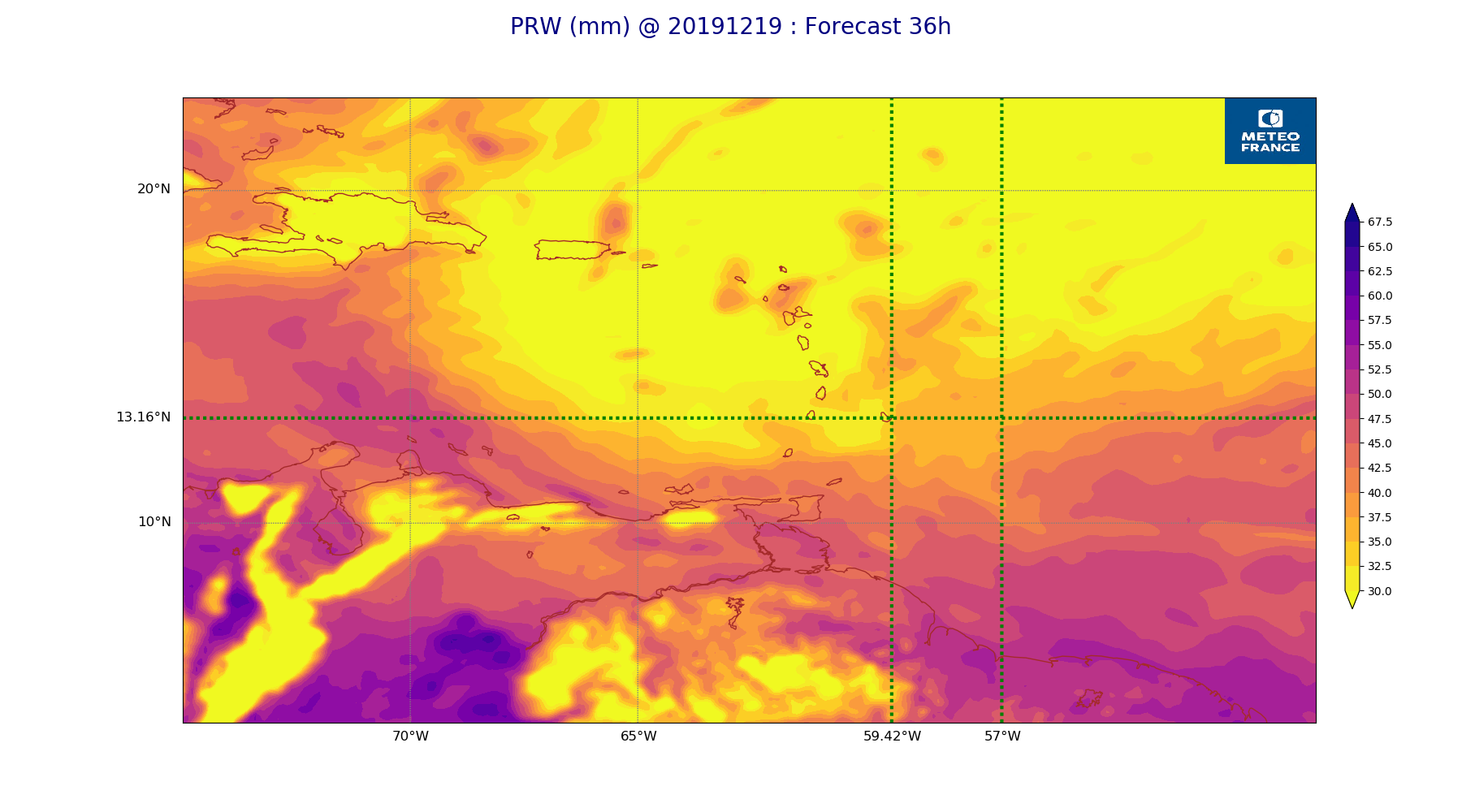
ARPEGE_map2D_PRW_20191219_fct_36.png
2019-12-19 12:03
231K
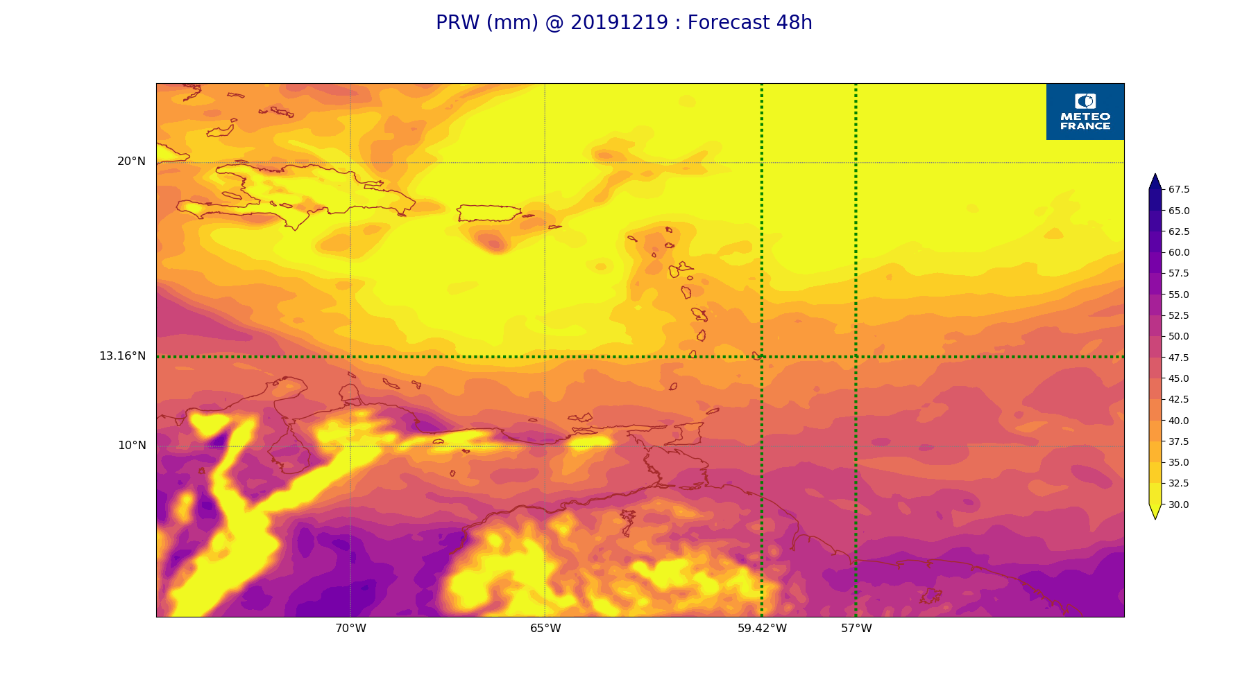
ARPEGE_map2D_PRW_20191219_fct_48.png
2019-12-19 12:03
227K
ARPEGE_map2D_Psfc_20191219_fct_0.png
2019-12-19 12:06
147K
ARPEGE_map2D_Psfc_20191219_fct_12.png
2019-12-19 12:06
147K
ARPEGE_map2D_Psfc_20191219_fct_24.png
2019-12-19 12:06
148K
ARPEGE_map2D_Psfc_20191219_fct_36.png
2019-12-19 12:06
148K
ARPEGE_map2D_Psfc_20191219_fct_48.png
2019-12-19 12:06
148K
ARPEGE_map2D_RH_500hPa_20191219_fct_0.png
2019-12-19 11:57
209K
ARPEGE_map2D_RH_500hPa_20191219_fct_12.png
2019-12-19 11:58
209K
ARPEGE_map2D_RH_500hPa_20191219_fct_24.png
2019-12-19 11:58
208K
ARPEGE_map2D_RH_500hPa_20191219_fct_36.png
2019-12-19 11:58
215K
ARPEGE_map2D_RH_500hPa_20191219_fct_48.png
2019-12-19 11:58
212K
ARPEGE_map2D_RH_700hPa_20191219_fct_0.png
2019-12-19 11:57
237K
ARPEGE_map2D_RH_700hPa_20191219_fct_12.png
2019-12-19 11:58
238K
ARPEGE_map2D_RH_700hPa_20191219_fct_24.png
2019-12-19 11:58
236K
ARPEGE_map2D_RH_700hPa_20191219_fct_36.png
2019-12-19 11:58
238K
ARPEGE_map2D_RH_700hPa_20191219_fct_48.png
2019-12-19 11:58
234K
ARPEGE_map2D_RH_850hPa_20191219_fct_0.png
2019-12-19 11:57
292K
ARPEGE_map2D_RH_850hPa_20191219_fct_12.png
2019-12-19 11:58
295K
ARPEGE_map2D_RH_850hPa_20191219_fct_24.png
2019-12-19 11:58
286K
ARPEGE_map2D_RH_850hPa_20191219_fct_36.png
2019-12-19 11:58
287K
ARPEGE_map2D_RH_850hPa_20191219_fct_48.png
2019-12-19 11:58
280K
ARPEGE_map2D_T_500hPa_20191219_fct_0.png
2019-12-19 11:57
168K
ARPEGE_map2D_T_500hPa_20191219_fct_12.png
2019-12-19 11:57
175K
ARPEGE_map2D_T_500hPa_20191219_fct_24.png
2019-12-19 11:57
167K
ARPEGE_map2D_T_500hPa_20191219_fct_36.png
2019-12-19 11:57
171K
ARPEGE_map2D_T_500hPa_20191219_fct_48.png
2019-12-19 11:57
168K
ARPEGE_map2D_T_850hPa_20191219_fct_0.png
2019-12-19 11:57
178K
ARPEGE_map2D_T_850hPa_20191219_fct_12.png
2019-12-19 11:57
178K
ARPEGE_map2D_T_850hPa_20191219_fct_24.png
2019-12-19 11:57
175K
ARPEGE_map2D_T_850hPa_20191219_fct_36.png
2019-12-19 11:57
177K
ARPEGE_map2D_T_850hPa_20191219_fct_48.png
2019-12-19 11:57
173K
ARPEGE_map2D_T_925hPa_20191219_fct_0.png
2019-12-19 11:57
178K
ARPEGE_map2D_T_925hPa_20191219_fct_12.png
2019-12-19 11:57
189K
ARPEGE_map2D_T_925hPa_20191219_fct_24.png
2019-12-19 11:57
183K
ARPEGE_map2D_T_925hPa_20191219_fct_36.png
2019-12-19 11:57
189K
ARPEGE_map2D_T_925hPa_20191219_fct_48.png
2019-12-19 11:57
180K
ARPEGE_map2D_U_200hPa_20191219_fct_0.png
2019-12-19 11:54
184K
ARPEGE_map2D_U_200hPa_20191219_fct_12.png
2019-12-19 11:54
179K
ARPEGE_map2D_U_200hPa_20191219_fct_24.png
2019-12-19 11:54
184K
ARPEGE_map2D_U_200hPa_20191219_fct_36.png
2019-12-19 11:55
181K
ARPEGE_map2D_U_200hPa_20191219_fct_48.png
2019-12-19 11:55
177K
ARPEGE_map2D_U_500hPa_20191219_fct_0.png
2019-12-19 11:54
189K
ARPEGE_map2D_U_500hPa_20191219_fct_12.png
2019-12-19 11:54
193K
ARPEGE_map2D_U_500hPa_20191219_fct_24.png
2019-12-19 11:54
192K
ARPEGE_map2D_U_500hPa_20191219_fct_36.png
2019-12-19 11:55
195K
ARPEGE_map2D_U_500hPa_20191219_fct_48.png
2019-12-19 11:55
192K
ARPEGE_map2D_U_850hPa_20191219_fct_0.png
2019-12-19 11:54
208K
ARPEGE_map2D_U_850hPa_20191219_fct_12.png
2019-12-19 11:54
211K
ARPEGE_map2D_U_850hPa_20191219_fct_24.png
2019-12-19 11:55
204K
ARPEGE_map2D_U_850hPa_20191219_fct_36.png
2019-12-19 11:55
211K
ARPEGE_map2D_U_850hPa_20191219_fct_48.png
2019-12-19 11:55
204K
ARPEGE_map2D_U_925hPa_20191219_fct_0.png
2019-12-19 11:54
200K
ARPEGE_map2D_U_925hPa_20191219_fct_12.png
2019-12-19 11:54
203K
ARPEGE_map2D_U_925hPa_20191219_fct_24.png
2019-12-19 11:55
199K
ARPEGE_map2D_U_925hPa_20191219_fct_36.png
2019-12-19 11:55
203K
ARPEGE_map2D_U_925hPa_20191219_fct_48.png
2019-12-19 11:55
199K
ARPEGE_map2D_V_200hPa_20191219_fct_0.png
2019-12-19 11:55
216K
ARPEGE_map2D_V_200hPa_20191219_fct_12.png
2019-12-19 11:55
219K
ARPEGE_map2D_V_200hPa_20191219_fct_24.png
2019-12-19 11:55
216K
ARPEGE_map2D_V_200hPa_20191219_fct_36.png
2019-12-19 11:55
210K
ARPEGE_map2D_V_200hPa_20191219_fct_48.png
2019-12-19 11:55
214K
ARPEGE_map2D_V_500hPa_20191219_fct_0.png
2019-12-19 11:55
220K
ARPEGE_map2D_V_500hPa_20191219_fct_12.png
2019-12-19 11:55
229K
ARPEGE_map2D_V_500hPa_20191219_fct_24.png
2019-12-19 11:55
226K
ARPEGE_map2D_V_500hPa_20191219_fct_36.png
2019-12-19 11:55
233K
ARPEGE_map2D_V_500hPa_20191219_fct_48.png
2019-12-19 11:55
225K
ARPEGE_map2D_V_850hPa_20191219_fct_0.png
2019-12-19 11:55
269K
ARPEGE_map2D_V_850hPa_20191219_fct_12.png
2019-12-19 11:55
275K
ARPEGE_map2D_V_850hPa_20191219_fct_24.png
2019-12-19 11:55
266K
ARPEGE_map2D_V_850hPa_20191219_fct_36.png
2019-12-19 11:55
272K
ARPEGE_map2D_V_850hPa_20191219_fct_48.png
2019-12-19 11:56
260K
ARPEGE_map2D_V_925hPa_20191219_fct_0.png
2019-12-19 11:55
252K
ARPEGE_map2D_V_925hPa_20191219_fct_12.png
2019-12-19 11:55
260K
ARPEGE_map2D_V_925hPa_20191219_fct_24.png
2019-12-19 11:55
253K
ARPEGE_map2D_V_925hPa_20191219_fct_36.png
2019-12-19 11:55
253K
ARPEGE_map2D_V_925hPa_20191219_fct_48.png
2019-12-19 11:56
245K
ARPEGE_map2D_Vertical_velocity_500hPa_20191219_fct_0.png
2019-12-19 11:54
240K
ARPEGE_map2D_Vertical_velocity_500hPa_20191219_fct_12.png
2019-12-19 11:54
248K
ARPEGE_map2D_Vertical_velocity_500hPa_20191219_fct_24.png
2019-12-19 11:54
245K
ARPEGE_map2D_Vertical_velocity_500hPa_20191219_fct_36.png
2019-12-19 11:54
250K
ARPEGE_map2D_Vertical_velocity_500hPa_20191219_fct_48.png
2019-12-19 11:54
235K
ARPEGE_map2D_Vertical_velocity_700hPa_20191219_fct_0.png
2019-12-19 11:54
269K
ARPEGE_map2D_Vertical_velocity_700hPa_20191219_fct_12.png
2019-12-19 11:54
279K
ARPEGE_map2D_Vertical_velocity_700hPa_20191219_fct_24.png
2019-12-19 11:54
274K
ARPEGE_map2D_Vertical_velocity_700hPa_20191219_fct_36.png
2019-12-19 11:54
286K
ARPEGE_map2D_Vertical_velocity_700hPa_20191219_fct_48.png
2019-12-19 11:54
264K
ARPEGE_map2D_Vertical_velocity_850hPa_20191219_fct_0.png
2019-12-19 11:54
295K
ARPEGE_map2D_Vertical_velocity_850hPa_20191219_fct_12.png
2019-12-19 11:54
315K
ARPEGE_map2D_Vertical_velocity_850hPa_20191219_fct_24.png
2019-12-19 11:54
290K
ARPEGE_map2D_Vertical_velocity_850hPa_20191219_fct_36.png
2019-12-19 11:54
316K
ARPEGE_map2D_Vertical_velocity_850hPa_20191219_fct_48.png
2019-12-19 11:54
297K
ARPEGE_map2D_qv_500hPa_20191219_fct_0.png
2019-12-19 11:58
158K
ARPEGE_map2D_qv_500hPa_20191219_fct_12.png
2019-12-19 11:58
158K
ARPEGE_map2D_qv_500hPa_20191219_fct_24.png
2019-12-19 11:58
158K
ARPEGE_map2D_qv_500hPa_20191219_fct_36.png
2019-12-19 11:58
158K
ARPEGE_map2D_qv_500hPa_20191219_fct_48.png
2019-12-19 11:58
158K
ARPEGE_map2D_qv_850hPa_20191219_fct_0.png
2019-12-19 11:58
246K
ARPEGE_map2D_qv_850hPa_20191219_fct_12.png
2019-12-19 11:58
249K
ARPEGE_map2D_qv_850hPa_20191219_fct_24.png
2019-12-19 11:58
241K
ARPEGE_map2D_qv_850hPa_20191219_fct_36.png
2019-12-19 11:58
241K
ARPEGE_map2D_qv_850hPa_20191219_fct_48.png
2019-12-19 11:59
236K
ARPEGE_map2D_qv_925hPa_20191219_fct_0.png
2019-12-19 11:58
240K
ARPEGE_map2D_qv_925hPa_20191219_fct_12.png
2019-12-19 11:58
242K
ARPEGE_map2D_qv_925hPa_20191219_fct_24.png
2019-12-19 11:58
236K
ARPEGE_map2D_qv_925hPa_20191219_fct_36.png
2019-12-19 11:58
243K
ARPEGE_map2D_qv_925hPa_20191219_fct_48.png
2019-12-19 11:59
229K
ARPEGE_map2D_theta_500hPa_20191219_fct_0.png
2019-12-19 11:56
166K
ARPEGE_map2D_theta_500hPa_20191219_fct_12.png
2019-12-19 11:56
172K
ARPEGE_map2D_theta_500hPa_20191219_fct_24.png
2019-12-19 11:57
167K
ARPEGE_map2D_theta_500hPa_20191219_fct_36.png
2019-12-19 11:57
171K
ARPEGE_map2D_theta_500hPa_20191219_fct_48.png
2019-12-19 11:57
166K
ARPEGE_map2D_theta_850hPa_20191219_fct_0.png
2019-12-19 11:56
174K
ARPEGE_map2D_theta_850hPa_20191219_fct_12.png
2019-12-19 11:56
177K
ARPEGE_map2D_theta_850hPa_20191219_fct_24.png
2019-12-19 11:57
173K
ARPEGE_map2D_theta_850hPa_20191219_fct_36.png
2019-12-19 11:57
180K
ARPEGE_map2D_theta_850hPa_20191219_fct_48.png
2019-12-19 11:57
171K
ARPEGE_map2D_theta_925hPa_20191219_fct_0.png
2019-12-19 11:56
179K
ARPEGE_map2D_theta_925hPa_20191219_fct_12.png
2019-12-19 11:56
188K
ARPEGE_map2D_theta_925hPa_20191219_fct_24.png
2019-12-19 11:57
182K
ARPEGE_map2D_theta_925hPa_20191219_fct_36.png
2019-12-19 11:57
190K
ARPEGE_map2D_theta_925hPa_20191219_fct_48.png
2019-12-19 11:57
176K
ARPEGE_map2D_u10_20191219_fct_0.png
2019-12-19 12:03
234K
ARPEGE_map2D_u10_20191219_fct_12.png
2019-12-19 12:03
244K
ARPEGE_map2D_u10_20191219_fct_24.png
2019-12-19 12:03
235K
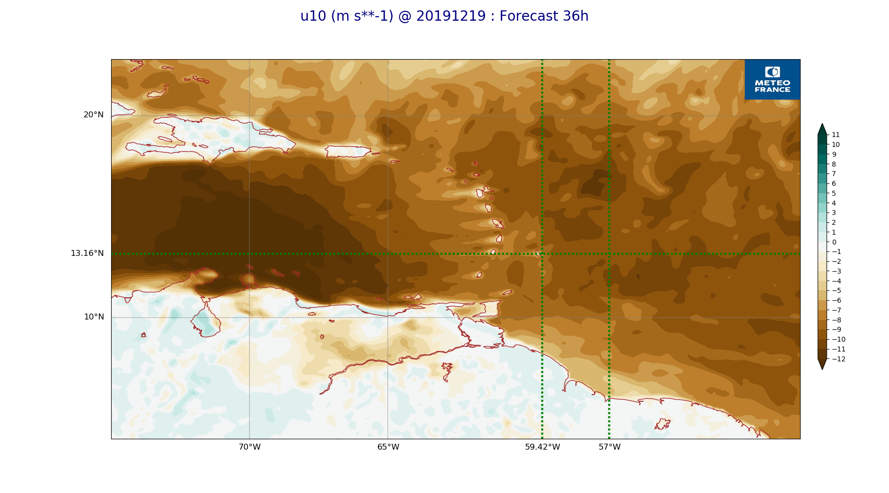
ARPEGE_map2D_u10_20191219_fct_36.png
2019-12-19 12:03
238K
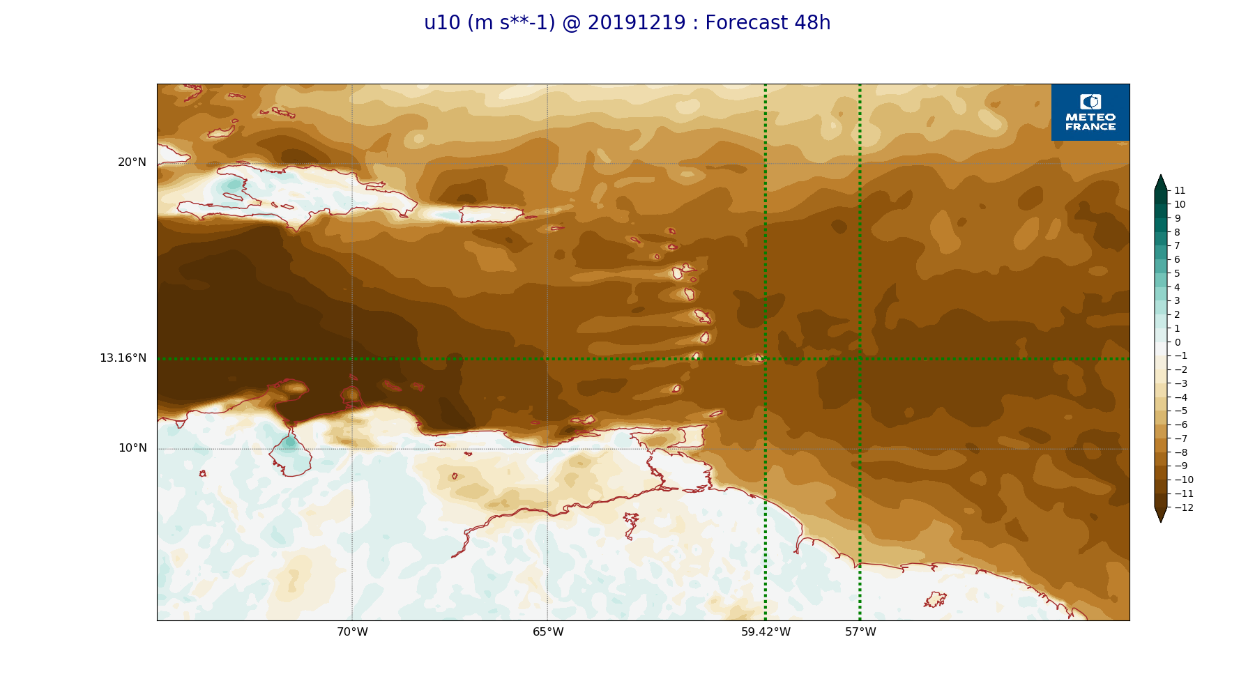
ARPEGE_map2D_u10_20191219_fct_48.png
2019-12-19 12:04
228K
ARPEGE_map2D_v10_20191219_fct_0.png
2019-12-19 12:04
218K
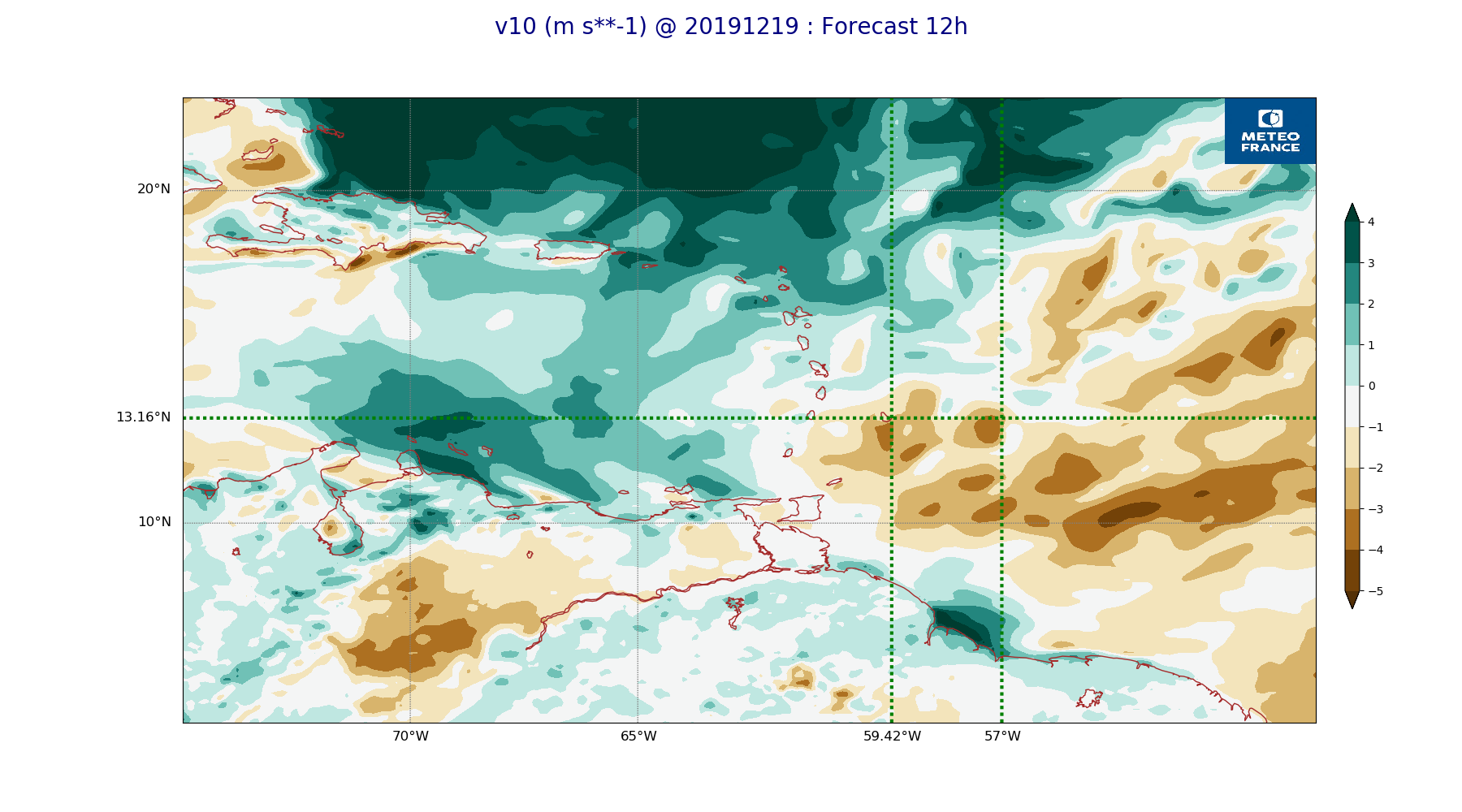
ARPEGE_map2D_v10_20191219_fct_12.png
2019-12-19 12:04
225K
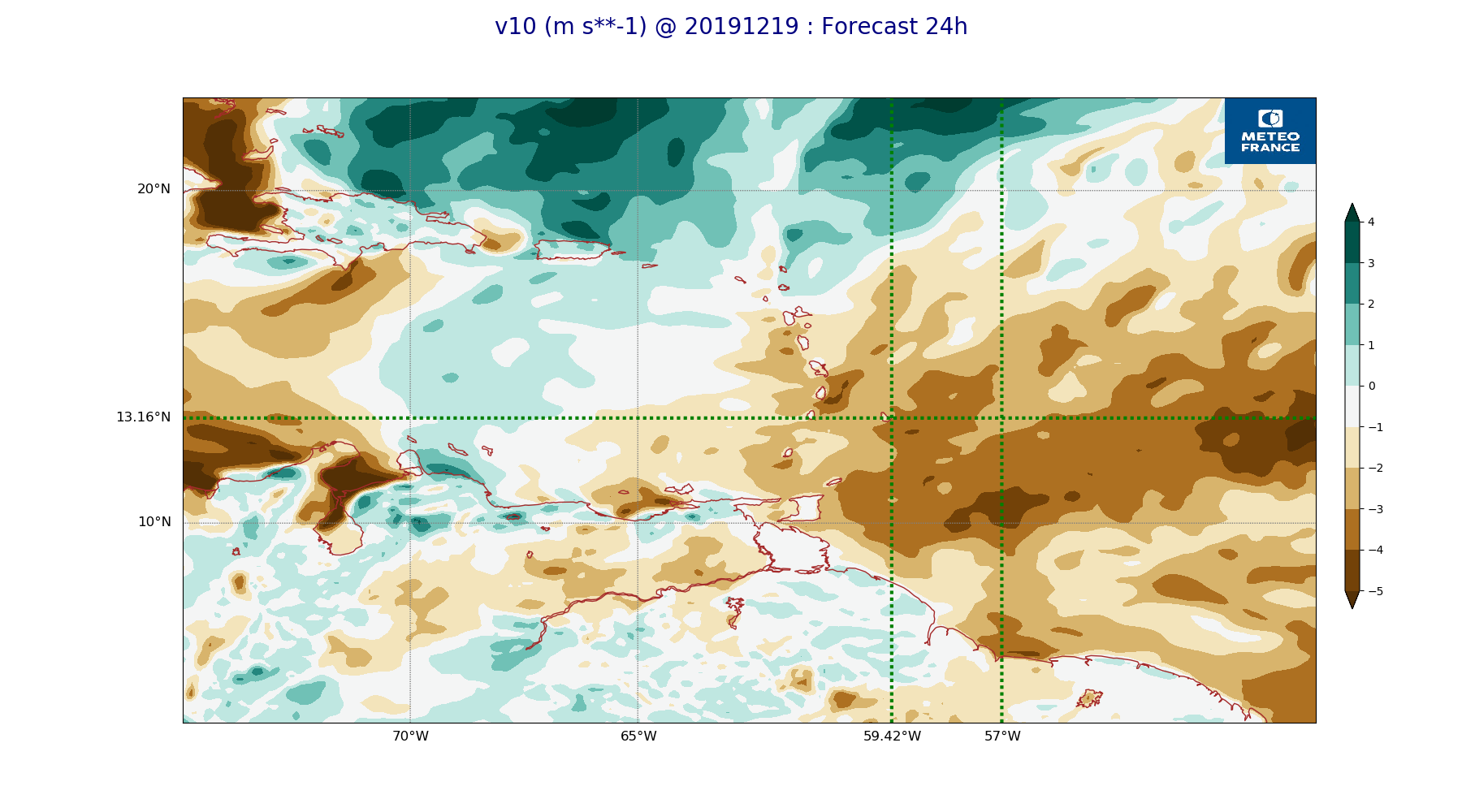
ARPEGE_map2D_v10_20191219_fct_24.png
2019-12-19 12:04
221K
ARPEGE_map2D_v10_20191219_fct_36.png
2019-12-19 12:04
224K
ARPEGE_map2D_v10_20191219_fct_48.png
2019-12-19 12:04
216K