Index of /aeris/eurec4a-data/FORECASTS/GLOBAL/ARPEGE/2019/20191220/map2D
Name
Last modified
Size
Parent Directory
-
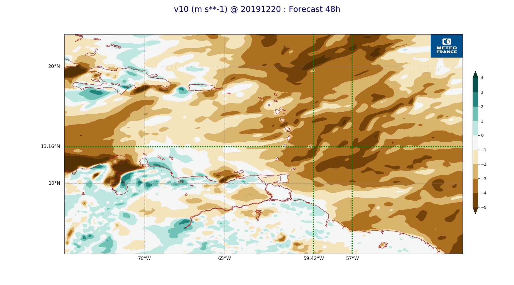
ARPEGE_map2D_v10_20191220_fct_48.png
2019-12-20 12:04
221K
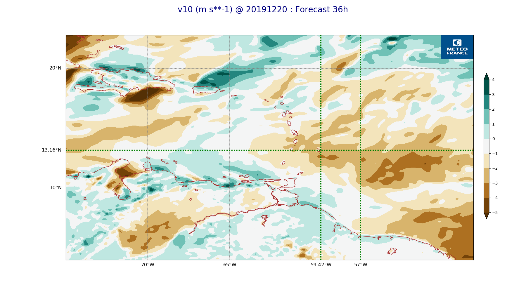
ARPEGE_map2D_v10_20191220_fct_36.png
2019-12-20 12:04
221K
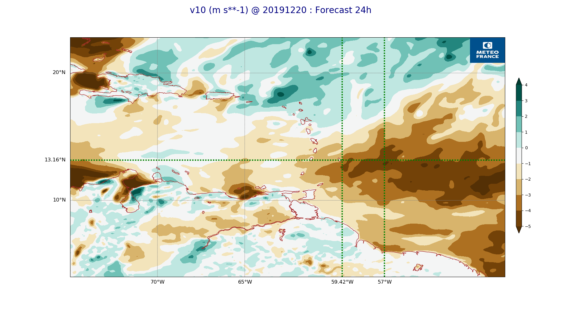
ARPEGE_map2D_v10_20191220_fct_24.png
2019-12-20 12:04
219K
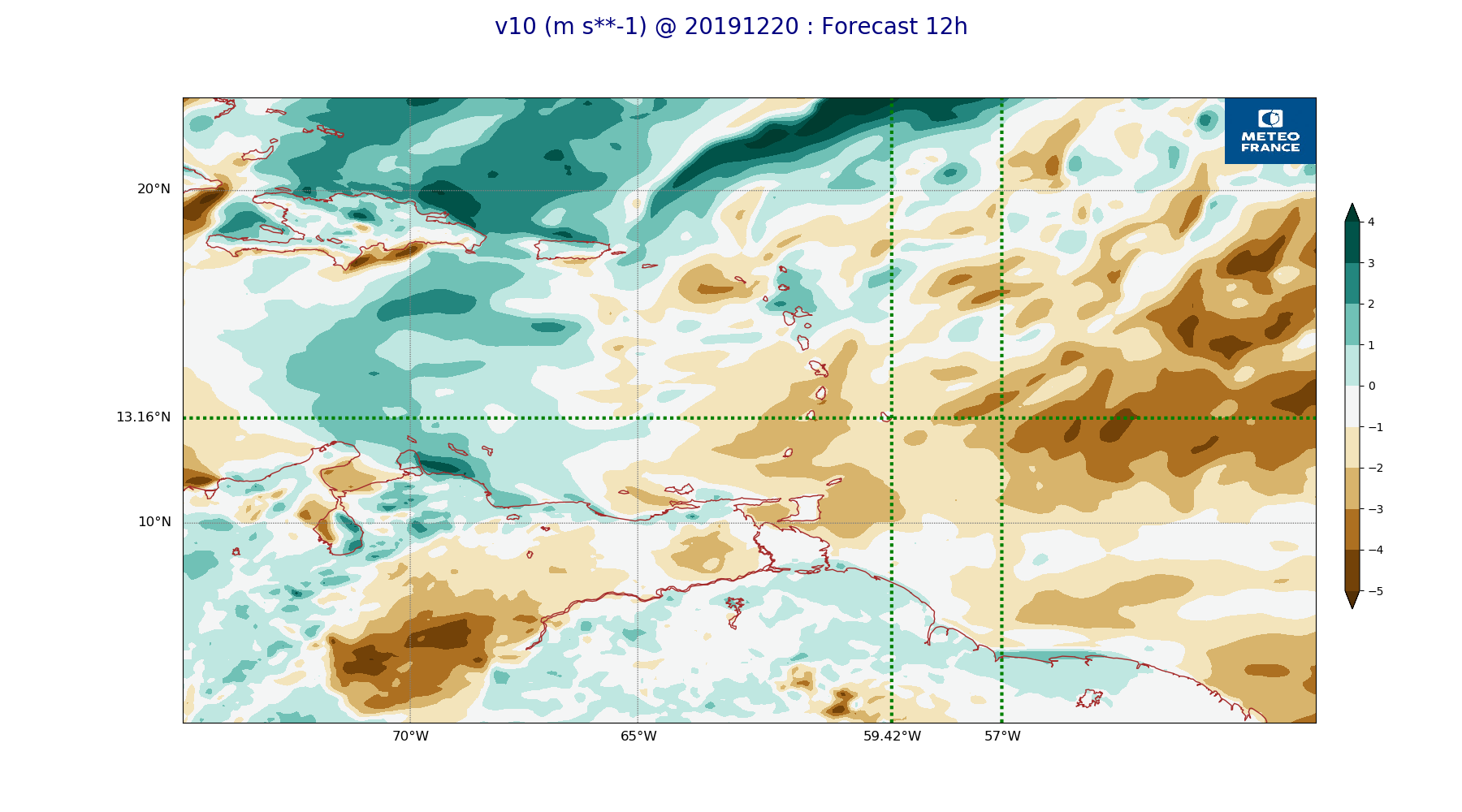
ARPEGE_map2D_v10_20191220_fct_12.png
2019-12-20 12:04
226K
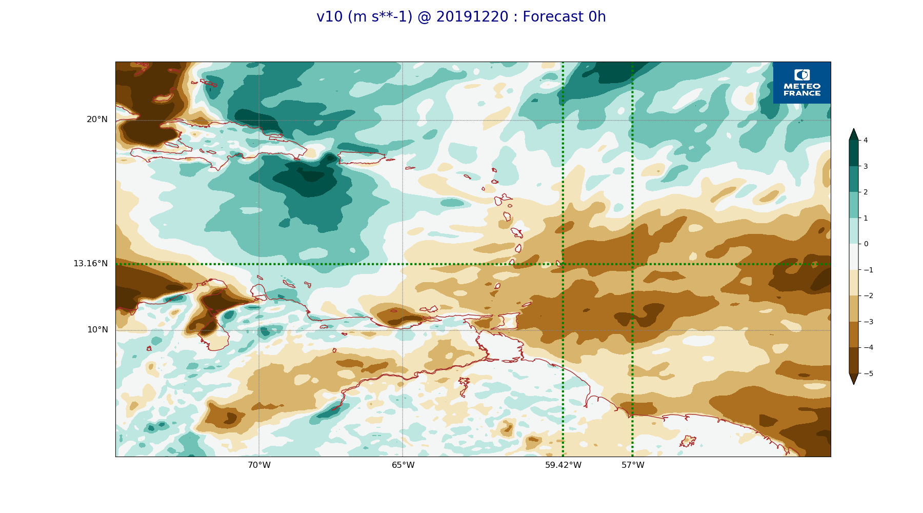
ARPEGE_map2D_v10_20191220_fct_0.png
2019-12-20 12:04
219K
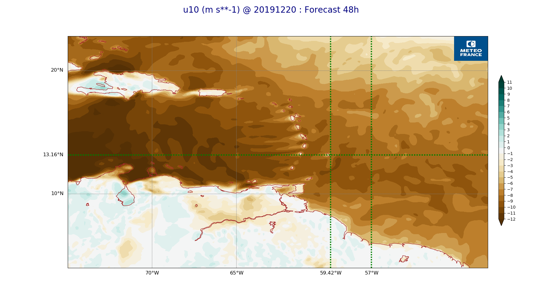
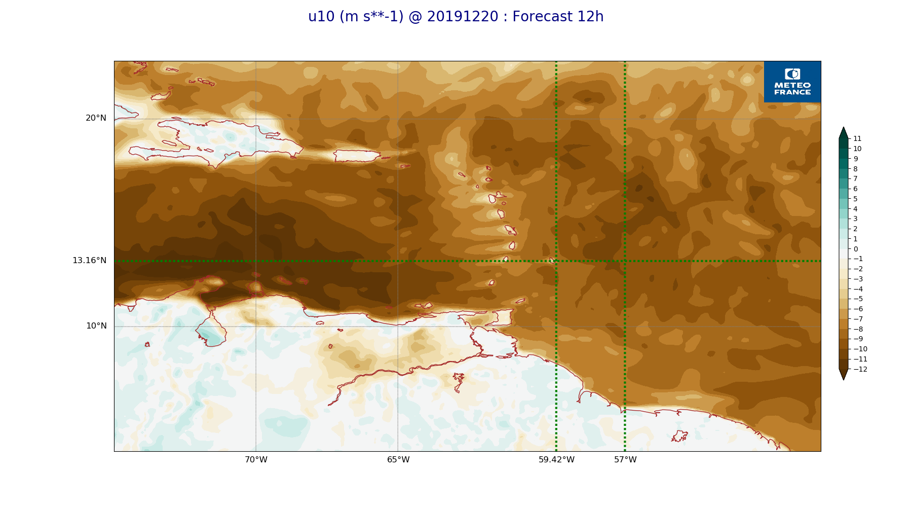
ARPEGE_map2D_u10_20191220_fct_48.png
2019-12-20 12:04
231K
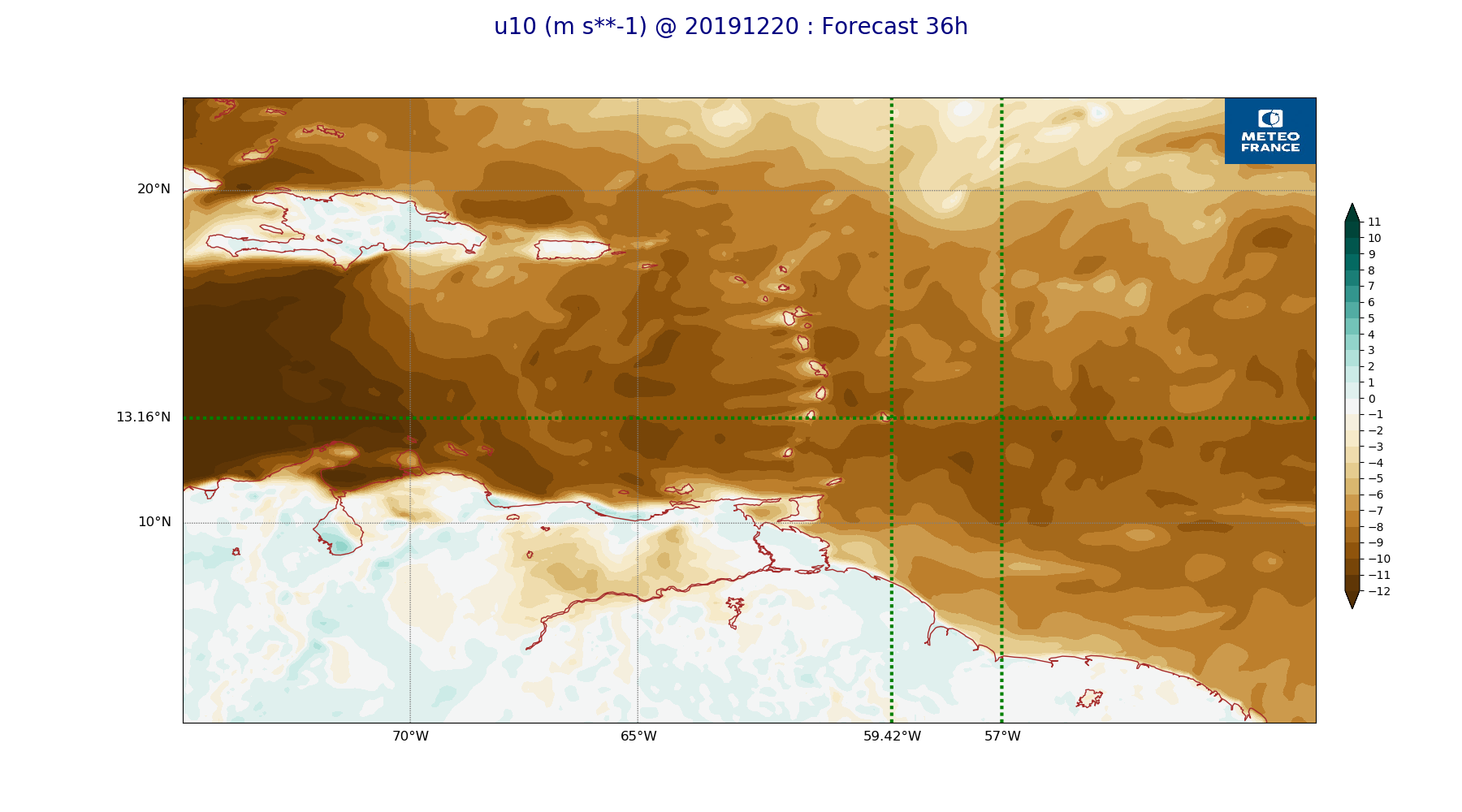
ARPEGE_map2D_u10_20191220_fct_36.png
2019-12-20 12:03
235K
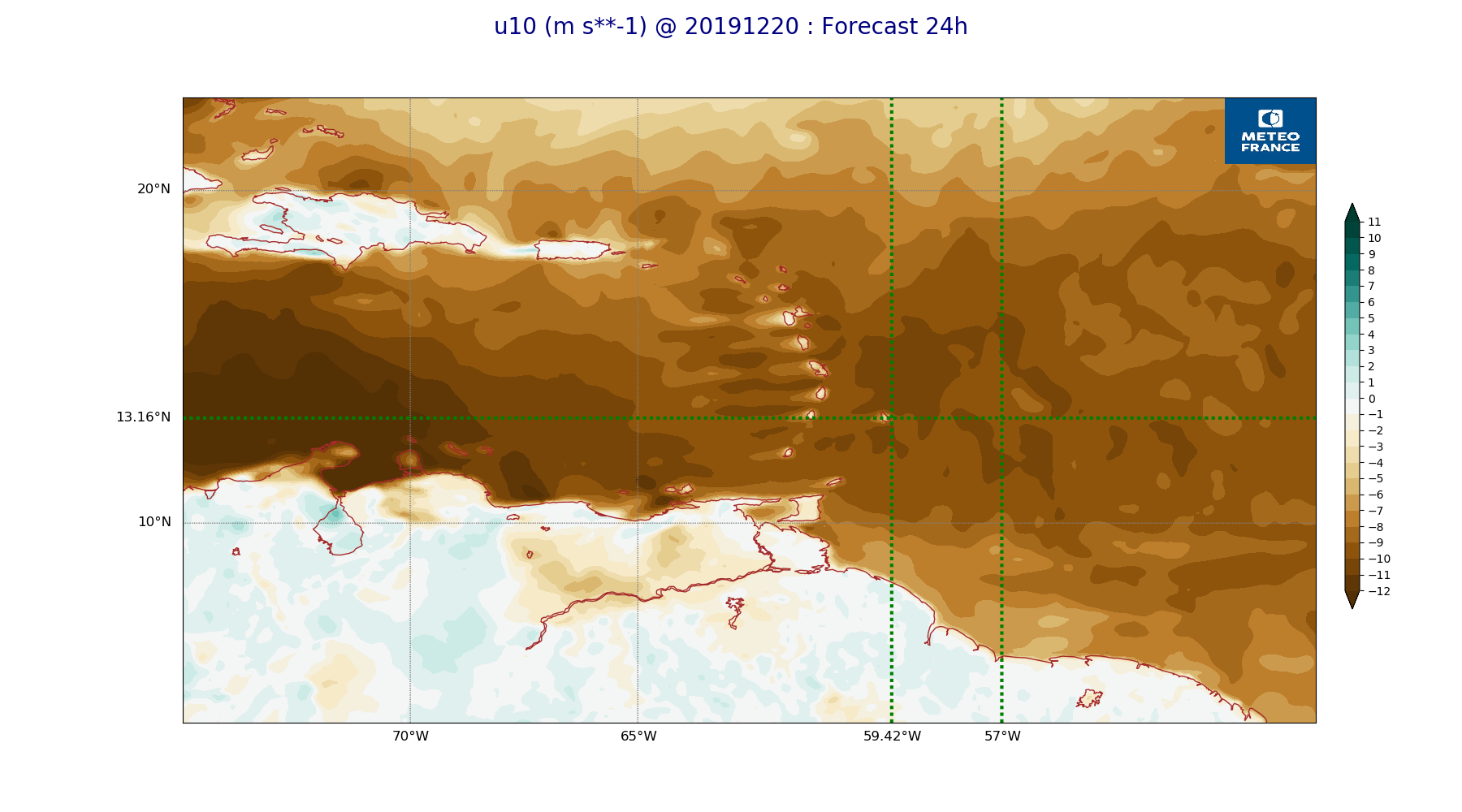
ARPEGE_map2D_u10_20191220_fct_24.png
2019-12-20 12:03
229K
ARPEGE_map2D_u10_20191220_fct_12.png
2019-12-20 12:03
239K
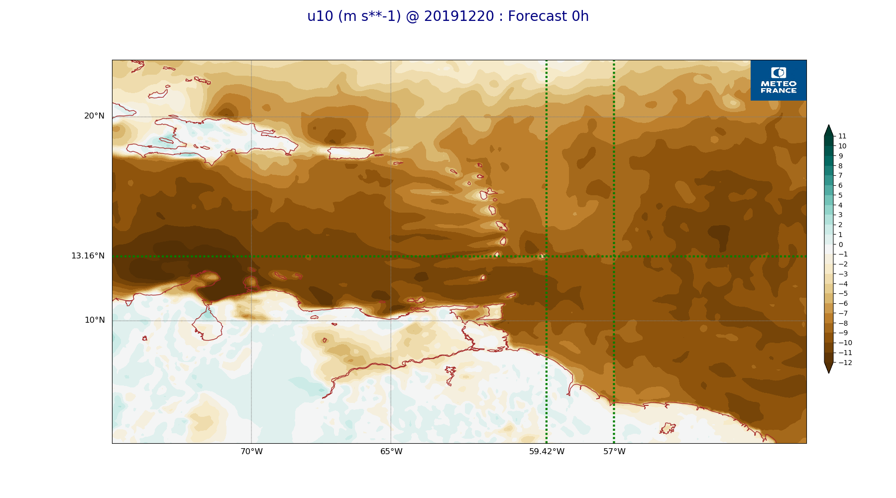
ARPEGE_map2D_u10_20191220_fct_0.png
2019-12-20 12:03
231K
ARPEGE_map2D_theta_925hPa_20191220_fct_48.png
2019-12-20 11:57
179K
ARPEGE_map2D_theta_925hPa_20191220_fct_36.png
2019-12-20 11:57
186K
ARPEGE_map2D_theta_925hPa_20191220_fct_24.png
2019-12-20 11:57
179K
ARPEGE_map2D_theta_925hPa_20191220_fct_12.png
2019-12-20 11:57
186K
ARPEGE_map2D_theta_925hPa_20191220_fct_0.png
2019-12-20 11:57
178K
ARPEGE_map2D_theta_850hPa_20191220_fct_48.png
2019-12-20 11:57
169K
ARPEGE_map2D_theta_850hPa_20191220_fct_36.png
2019-12-20 11:57
179K
ARPEGE_map2D_theta_850hPa_20191220_fct_24.png
2019-12-20 11:57
170K
ARPEGE_map2D_theta_850hPa_20191220_fct_12.png
2019-12-20 11:57
179K
ARPEGE_map2D_theta_850hPa_20191220_fct_0.png
2019-12-20 11:57
174K
ARPEGE_map2D_theta_500hPa_20191220_fct_48.png
2019-12-20 11:57
163K
ARPEGE_map2D_theta_500hPa_20191220_fct_36.png
2019-12-20 11:57
170K
ARPEGE_map2D_theta_500hPa_20191220_fct_24.png
2019-12-20 11:57
168K
ARPEGE_map2D_theta_500hPa_20191220_fct_12.png
2019-12-20 11:57
171K
ARPEGE_map2D_theta_500hPa_20191220_fct_0.png
2019-12-20 11:57
164K
ARPEGE_map2D_qv_925hPa_20191220_fct_48.png
2019-12-20 11:59
234K
ARPEGE_map2D_qv_925hPa_20191220_fct_36.png
2019-12-20 11:59
241K
ARPEGE_map2D_qv_925hPa_20191220_fct_24.png
2019-12-20 11:59
233K
ARPEGE_map2D_qv_925hPa_20191220_fct_12.png
2019-12-20 11:58
239K
ARPEGE_map2D_qv_925hPa_20191220_fct_0.png
2019-12-20 11:58
231K
ARPEGE_map2D_qv_850hPa_20191220_fct_48.png
2019-12-20 11:59
243K
ARPEGE_map2D_qv_850hPa_20191220_fct_36.png
2019-12-20 11:59
243K
ARPEGE_map2D_qv_850hPa_20191220_fct_24.png
2019-12-20 11:59
245K
ARPEGE_map2D_qv_850hPa_20191220_fct_12.png
2019-12-20 11:58
247K
ARPEGE_map2D_qv_850hPa_20191220_fct_0.png
2019-12-20 11:58
239K
ARPEGE_map2D_qv_500hPa_20191220_fct_48.png
2019-12-20 11:59
157K
ARPEGE_map2D_qv_500hPa_20191220_fct_36.png
2019-12-20 11:59
157K
ARPEGE_map2D_qv_500hPa_20191220_fct_24.png
2019-12-20 11:58
157K
ARPEGE_map2D_qv_500hPa_20191220_fct_12.png
2019-12-20 11:58
157K
ARPEGE_map2D_qv_500hPa_20191220_fct_0.png
2019-12-20 11:58
157K
ARPEGE_map2D_Vertical_velocity_850hPa_20191220_fct_48.png
2019-12-20 11:55
302K
ARPEGE_map2D_Vertical_velocity_850hPa_20191220_fct_36.png
2019-12-20 11:54
304K
ARPEGE_map2D_Vertical_velocity_850hPa_20191220_fct_24.png
2019-12-20 11:54
298K
ARPEGE_map2D_Vertical_velocity_850hPa_20191220_fct_12.png
2019-12-20 11:54
308K
ARPEGE_map2D_Vertical_velocity_850hPa_20191220_fct_0.png
2019-12-20 11:54
295K
ARPEGE_map2D_Vertical_velocity_700hPa_20191220_fct_48.png
2019-12-20 11:55
268K
ARPEGE_map2D_Vertical_velocity_700hPa_20191220_fct_36.png
2019-12-20 11:54
286K
ARPEGE_map2D_Vertical_velocity_700hPa_20191220_fct_24.png
2019-12-20 11:54
272K
ARPEGE_map2D_Vertical_velocity_700hPa_20191220_fct_12.png
2019-12-20 11:54
282K
ARPEGE_map2D_Vertical_velocity_700hPa_20191220_fct_0.png
2019-12-20 11:54
271K
ARPEGE_map2D_Vertical_velocity_500hPa_20191220_fct_48.png
2019-12-20 11:54
232K
ARPEGE_map2D_Vertical_velocity_500hPa_20191220_fct_36.png
2019-12-20 11:54
242K
ARPEGE_map2D_Vertical_velocity_500hPa_20191220_fct_24.png
2019-12-20 11:54
243K
ARPEGE_map2D_Vertical_velocity_500hPa_20191220_fct_12.png
2019-12-20 11:54
255K
ARPEGE_map2D_Vertical_velocity_500hPa_20191220_fct_0.png
2019-12-20 11:54
249K
ARPEGE_map2D_V_925hPa_20191220_fct_48.png
2019-12-20 11:56
248K
ARPEGE_map2D_V_925hPa_20191220_fct_36.png
2019-12-20 11:56
249K
ARPEGE_map2D_V_925hPa_20191220_fct_24.png
2019-12-20 11:56
248K
ARPEGE_map2D_V_925hPa_20191220_fct_12.png
2019-12-20 11:55
254K
ARPEGE_map2D_V_925hPa_20191220_fct_0.png
2019-12-20 11:55
248K
ARPEGE_map2D_V_850hPa_20191220_fct_48.png
2019-12-20 11:56
261K
ARPEGE_map2D_V_850hPa_20191220_fct_36.png
2019-12-20 11:56
265K
ARPEGE_map2D_V_850hPa_20191220_fct_24.png
2019-12-20 11:56
263K
ARPEGE_map2D_V_850hPa_20191220_fct_12.png
2019-12-20 11:55
269K
ARPEGE_map2D_V_850hPa_20191220_fct_0.png
2019-12-20 11:55
263K
ARPEGE_map2D_V_500hPa_20191220_fct_48.png
2019-12-20 11:56
213K
ARPEGE_map2D_V_500hPa_20191220_fct_36.png
2019-12-20 11:56
222K
ARPEGE_map2D_V_500hPa_20191220_fct_24.png
2019-12-20 11:56
229K
ARPEGE_map2D_V_500hPa_20191220_fct_12.png
2019-12-20 11:55
233K
ARPEGE_map2D_V_500hPa_20191220_fct_0.png
2019-12-20 11:55
226K
ARPEGE_map2D_V_200hPa_20191220_fct_48.png
2019-12-20 11:56
202K
ARPEGE_map2D_V_200hPa_20191220_fct_36.png
2019-12-20 11:56
207K
ARPEGE_map2D_V_200hPa_20191220_fct_24.png
2019-12-20 11:56
214K
ARPEGE_map2D_V_200hPa_20191220_fct_12.png
2019-12-20 11:55
215K
ARPEGE_map2D_V_200hPa_20191220_fct_0.png
2019-12-20 11:55
217K
ARPEGE_map2D_U_925hPa_20191220_fct_48.png
2019-12-20 11:55
198K
ARPEGE_map2D_U_925hPa_20191220_fct_36.png
2019-12-20 11:55
203K
ARPEGE_map2D_U_925hPa_20191220_fct_24.png
2019-12-20 11:55
200K
ARPEGE_map2D_U_925hPa_20191220_fct_12.png
2019-12-20 11:55
203K
ARPEGE_map2D_U_925hPa_20191220_fct_0.png
2019-12-20 11:55
196K
ARPEGE_map2D_U_850hPa_20191220_fct_48.png
2019-12-20 11:55
204K
ARPEGE_map2D_U_850hPa_20191220_fct_36.png
2019-12-20 11:55
207K
ARPEGE_map2D_U_850hPa_20191220_fct_24.png
2019-12-20 11:55
207K
ARPEGE_map2D_U_850hPa_20191220_fct_12.png
2019-12-20 11:55
207K
ARPEGE_map2D_U_850hPa_20191220_fct_0.png
2019-12-20 11:55
200K
ARPEGE_map2D_U_500hPa_20191220_fct_48.png
2019-12-20 11:55
188K
ARPEGE_map2D_U_500hPa_20191220_fct_36.png
2019-12-20 11:55
194K
ARPEGE_map2D_U_500hPa_20191220_fct_24.png
2019-12-20 11:55
193K
ARPEGE_map2D_U_500hPa_20191220_fct_12.png
2019-12-20 11:55
194K
ARPEGE_map2D_U_500hPa_20191220_fct_0.png
2019-12-20 11:55
190K
ARPEGE_map2D_U_200hPa_20191220_fct_48.png
2019-12-20 11:55
165K
ARPEGE_map2D_U_200hPa_20191220_fct_36.png
2019-12-20 11:55
167K
ARPEGE_map2D_U_200hPa_20191220_fct_24.png
2019-12-20 11:55
174K
ARPEGE_map2D_U_200hPa_20191220_fct_12.png
2019-12-20 11:55
174K
ARPEGE_map2D_U_200hPa_20191220_fct_0.png
2019-12-20 11:55
181K
ARPEGE_map2D_T_925hPa_20191220_fct_48.png
2019-12-20 11:58
181K
ARPEGE_map2D_T_925hPa_20191220_fct_36.png
2019-12-20 11:57
189K
ARPEGE_map2D_T_925hPa_20191220_fct_24.png
2019-12-20 11:57
182K
ARPEGE_map2D_T_925hPa_20191220_fct_12.png
2019-12-20 11:57
187K
ARPEGE_map2D_T_925hPa_20191220_fct_0.png
2019-12-20 11:57
178K
ARPEGE_map2D_T_850hPa_20191220_fct_48.png
2019-12-20 11:58
172K
ARPEGE_map2D_T_850hPa_20191220_fct_36.png
2019-12-20 11:57
176K
ARPEGE_map2D_T_850hPa_20191220_fct_24.png
2019-12-20 11:57
175K
ARPEGE_map2D_T_850hPa_20191220_fct_12.png
2019-12-20 11:57
179K
ARPEGE_map2D_T_850hPa_20191220_fct_0.png
2019-12-20 11:57
178K
ARPEGE_map2D_T_500hPa_20191220_fct_48.png
2019-12-20 11:58
166K
ARPEGE_map2D_T_500hPa_20191220_fct_36.png
2019-12-20 11:57
171K
ARPEGE_map2D_T_500hPa_20191220_fct_24.png
2019-12-20 11:57
169K
ARPEGE_map2D_T_500hPa_20191220_fct_12.png
2019-12-20 11:57
171K
ARPEGE_map2D_T_500hPa_20191220_fct_0.png
2019-12-20 11:57
167K
ARPEGE_map2D_RH_850hPa_20191220_fct_48.png
2019-12-20 11:58
291K
ARPEGE_map2D_RH_850hPa_20191220_fct_36.png
2019-12-20 11:58
292K
ARPEGE_map2D_RH_850hPa_20191220_fct_24.png
2019-12-20 11:58
289K
ARPEGE_map2D_RH_850hPa_20191220_fct_12.png
2019-12-20 11:58
293K
ARPEGE_map2D_RH_850hPa_20191220_fct_0.png
2019-12-20 11:58
287K
ARPEGE_map2D_RH_700hPa_20191220_fct_48.png
2019-12-20 11:58
241K
ARPEGE_map2D_RH_700hPa_20191220_fct_36.png
2019-12-20 11:58
245K
ARPEGE_map2D_RH_700hPa_20191220_fct_24.png
2019-12-20 11:58
238K
ARPEGE_map2D_RH_700hPa_20191220_fct_12.png
2019-12-20 11:58
240K
ARPEGE_map2D_RH_700hPa_20191220_fct_0.png
2019-12-20 11:58
238K
ARPEGE_map2D_RH_500hPa_20191220_fct_48.png
2019-12-20 11:58
203K
ARPEGE_map2D_RH_500hPa_20191220_fct_36.png
2019-12-20 11:58
208K
ARPEGE_map2D_RH_500hPa_20191220_fct_24.png
2019-12-20 11:58
214K
ARPEGE_map2D_RH_500hPa_20191220_fct_12.png
2019-12-20 11:58
212K
ARPEGE_map2D_RH_500hPa_20191220_fct_0.png
2019-12-20 11:58
204K
ARPEGE_map2D_Psfc_20191220_fct_48.png
2019-12-20 12:06
147K
ARPEGE_map2D_Psfc_20191220_fct_36.png
2019-12-20 12:06
147K
ARPEGE_map2D_Psfc_20191220_fct_24.png
2019-12-20 12:06
147K
ARPEGE_map2D_Psfc_20191220_fct_12.png
2019-12-20 12:06
147K
ARPEGE_map2D_Psfc_20191220_fct_0.png
2019-12-20 12:06
147K
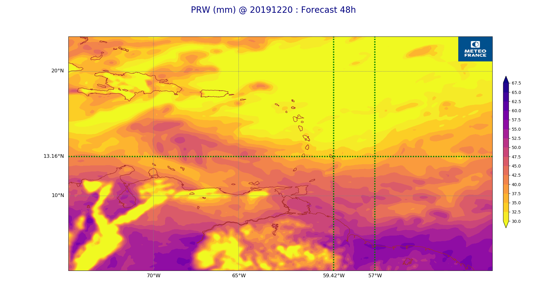
ARPEGE_map2D_PRW_20191220_fct_48.png
2019-12-20 12:03
234K
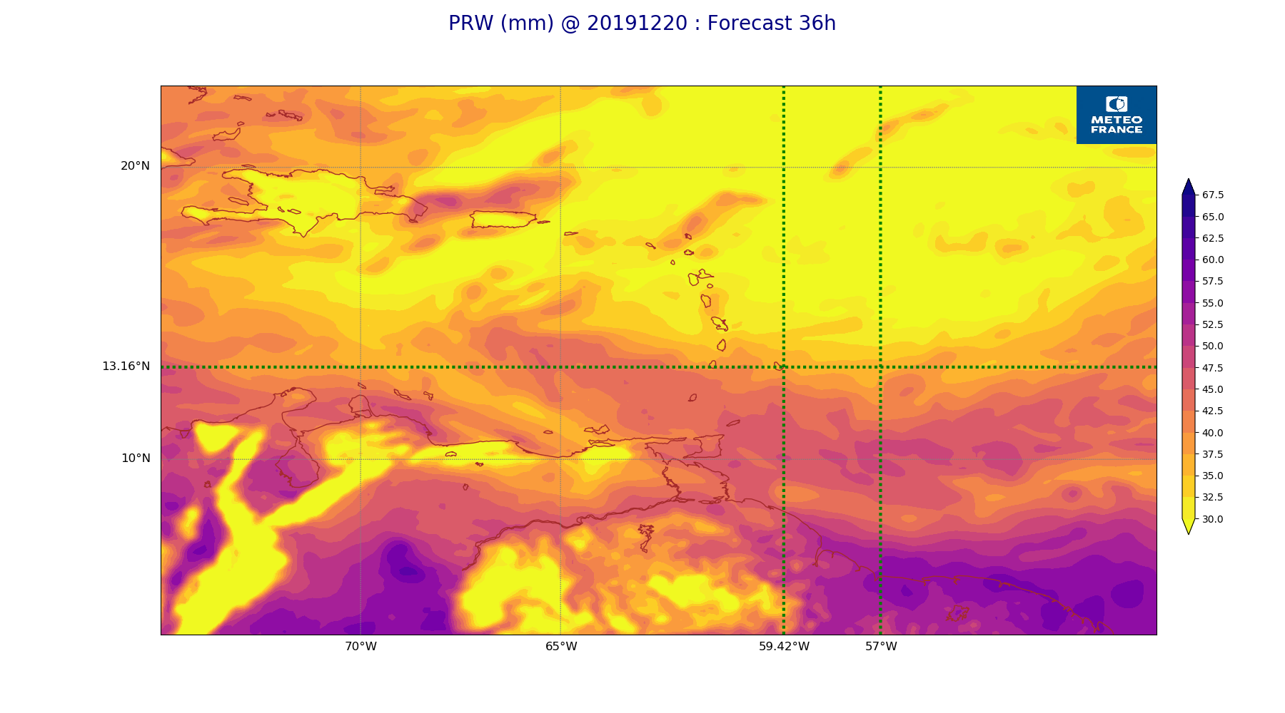
ARPEGE_map2D_PRW_20191220_fct_36.png
2019-12-20 12:03
237K
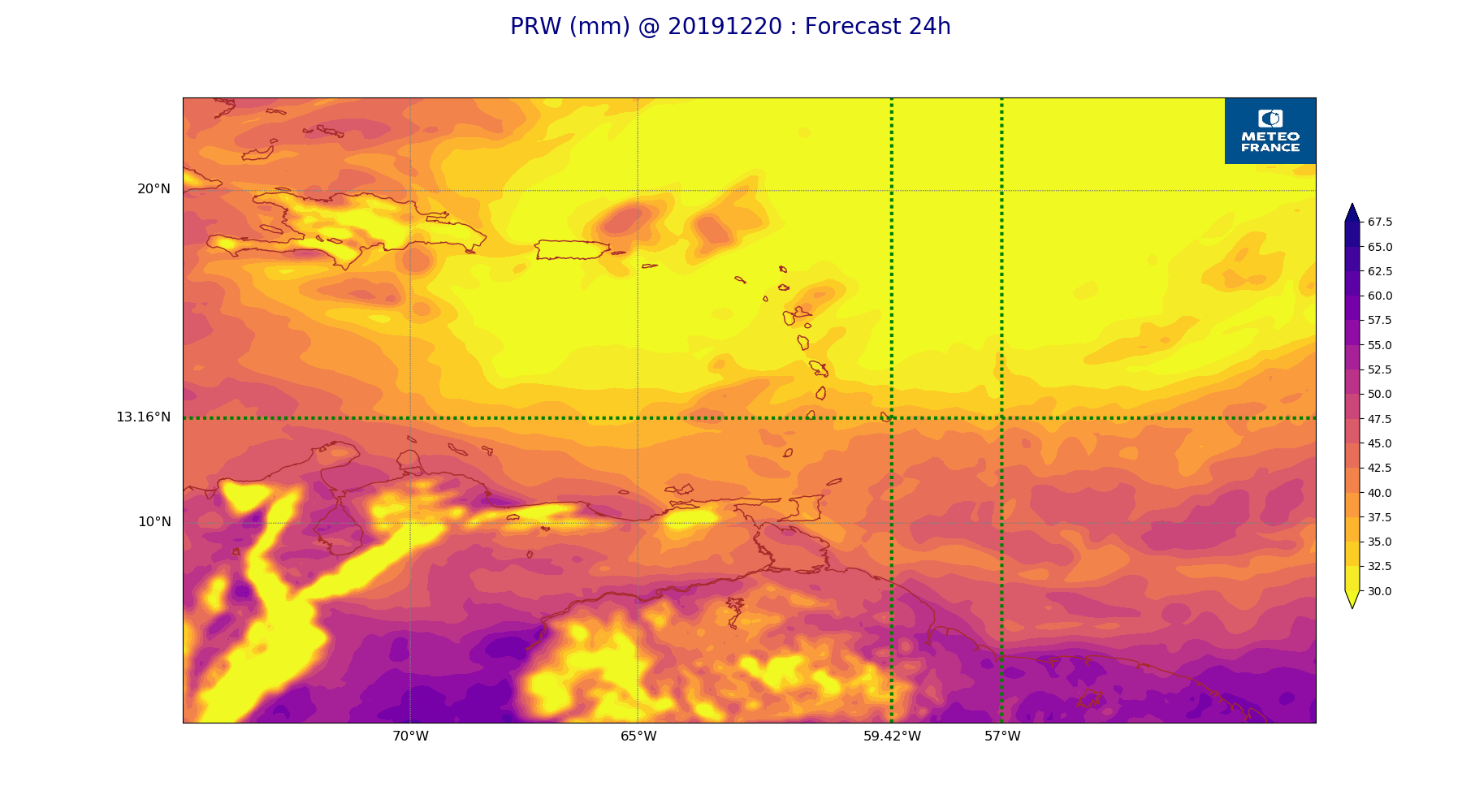
ARPEGE_map2D_PRW_20191220_fct_24.png
2019-12-20 12:03
230K
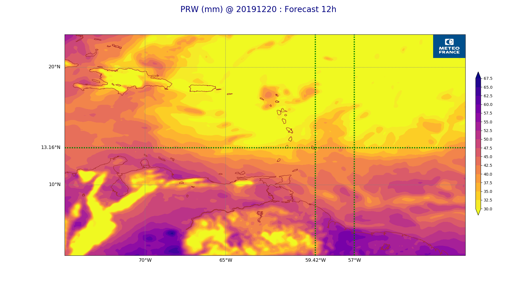
ARPEGE_map2D_PRW_20191220_fct_12.png
2019-12-20 12:02
233K
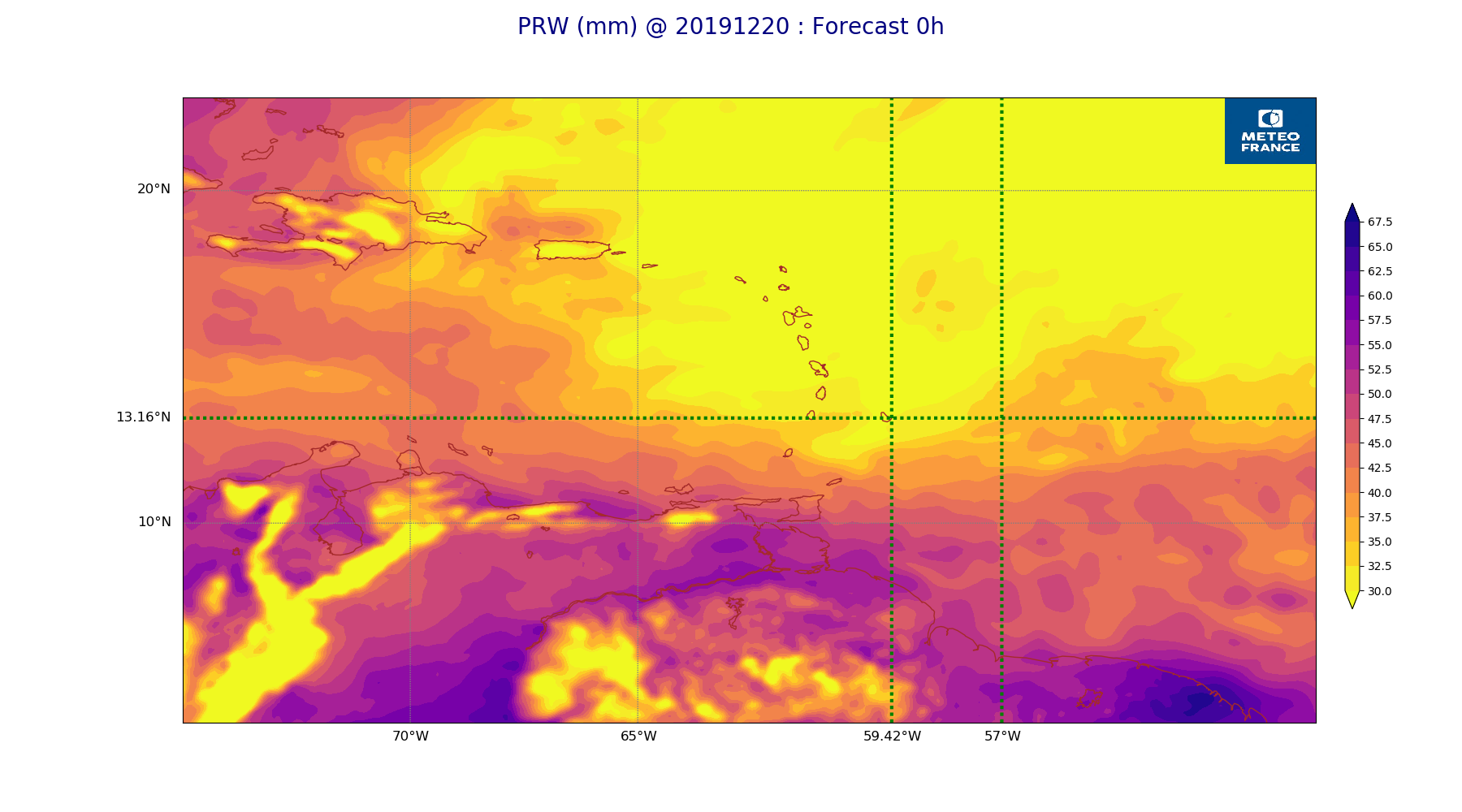
ARPEGE_map2D_PRW_20191220_fct_0.png
2019-12-20 12:02
229K
ARPEGE_map2D_Mid_CC_785_450hPa_20191220_fct_48.png
2019-12-20 12:01
439K
ARPEGE_map2D_Mid_CC_785_450hPa_20191220_fct_36.png
2019-12-20 12:01
444K
ARPEGE_map2D_Mid_CC_785_450hPa_20191220_fct_24.png
2019-12-20 12:01
402K
ARPEGE_map2D_Mid_CC_785_450hPa_20191220_fct_12.png
2019-12-20 12:00
455K
ARPEGE_map2D_Mid_CC_785_450hPa_20191220_fct_0.png
2019-12-20 12:00
167K
ARPEGE_map2D_Low_CC_inf_785hPa_20191220_fct_48.png
2019-12-20 12:00
394K
ARPEGE_map2D_Low_CC_inf_785hPa_20191220_fct_36.png
2019-12-20 12:00
392K
ARPEGE_map2D_Low_CC_inf_785hPa_20191220_fct_24.png
2019-12-20 12:00
412K
ARPEGE_map2D_Low_CC_inf_785hPa_20191220_fct_12.png
2019-12-20 12:00
427K
ARPEGE_map2D_Low_CC_inf_785hPa_20191220_fct_0.png
2019-12-20 12:00
166K
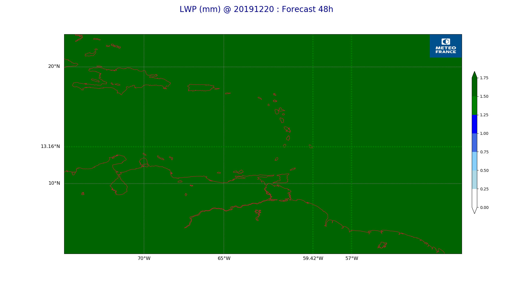
ARPEGE_map2D_LWP_20191220_fct_48.png
2019-12-20 12:05
140K
ARPEGE_map2D_LWP_20191220_fct_36.png
2019-12-20 12:05
141K
ARPEGE_map2D_LWP_20191220_fct_24.png
2019-12-20 12:05
140K
ARPEGE_map2D_LWP_20191220_fct_12.png
2019-12-20 12:04
140K
ARPEGE_map2D_LWP_20191220_fct_0.png
2019-12-20 12:04
140K
ARPEGE_map2D_IWP_20191220_fct_48.png
2019-12-20 12:06
150K
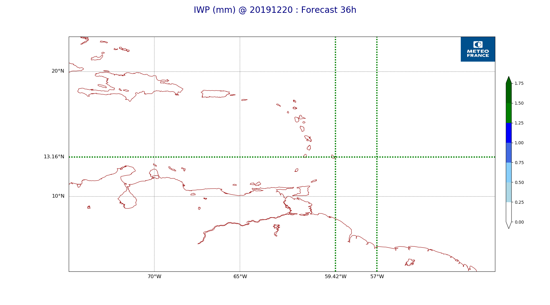
ARPEGE_map2D_IWP_20191220_fct_36.png
2019-12-20 12:05
151K
ARPEGE_map2D_IWP_20191220_fct_24.png
2019-12-20 12:05
150K
ARPEGE_map2D_IWP_20191220_fct_12.png
2019-12-20 12:05
150K
ARPEGE_map2D_IWP_20191220_fct_0.png
2019-12-20 12:05
150K
ARPEGE_map2D_High_CC_sup_450hPa_20191220_fct_48.png
2019-12-20 12:01
257K
ARPEGE_map2D_High_CC_sup_450hPa_20191220_fct_36.png
2019-12-20 12:01
241K
ARPEGE_map2D_High_CC_sup_450hPa_20191220_fct_24.png
2019-12-20 12:01
216K
ARPEGE_map2D_High_CC_sup_450hPa_20191220_fct_12.png
2019-12-20 12:01
230K
ARPEGE_map2D_High_CC_sup_450hPa_20191220_fct_0.png
2019-12-20 12:01
167K
ARPEGE_map2D_Geopotential_0_7_PVU_20191220_fct_48.png
2019-12-20 11:59
197K
ARPEGE_map2D_Geopotential_0_7_PVU_20191220_fct_36.png
2019-12-20 11:59
199K
ARPEGE_map2D_Geopotential_0_7_PVU_20191220_fct_24.png
2019-12-20 11:59
205K
ARPEGE_map2D_Geopotential_0_7_PVU_20191220_fct_12.png
2019-12-20 11:59
204K
ARPEGE_map2D_Geopotential_0_7_PVU_20191220_fct_0.png
2019-12-20 11:59
215K
ARPEGE_map2D_Fraction_cloud_cover_925hPa_20191220_fct_48.png
2019-12-20 11:57
715K
ARPEGE_map2D_Fraction_cloud_cover_925hPa_20191220_fct_36.png
2019-12-20 11:56
698K
ARPEGE_map2D_Fraction_cloud_cover_925hPa_20191220_fct_24.png
2019-12-20 11:56
669K
ARPEGE_map2D_Fraction_cloud_cover_925hPa_20191220_fct_12.png
2019-12-20 11:56
694K
ARPEGE_map2D_Fraction_cloud_cover_925hPa_20191220_fct_0.png
2019-12-20 11:56
160K
ARPEGE_map2D_Fraction_cloud_cover_850hPa_20191220_fct_48.png
2019-12-20 11:57
692K
ARPEGE_map2D_Fraction_cloud_cover_850hPa_20191220_fct_36.png
2019-12-20 11:56
636K
ARPEGE_map2D_Fraction_cloud_cover_850hPa_20191220_fct_24.png
2019-12-20 11:56
667K
ARPEGE_map2D_Fraction_cloud_cover_850hPa_20191220_fct_12.png
2019-12-20 11:56
681K
ARPEGE_map2D_Fraction_cloud_cover_850hPa_20191220_fct_0.png
2019-12-20 11:56
160K
ARPEGE_map2D_Fraction_cloud_cover_500hPa_20191220_fct_48.png
2019-12-20 11:57
329K
ARPEGE_map2D_Fraction_cloud_cover_500hPa_20191220_fct_36.png
2019-12-20 11:56
385K
ARPEGE_map2D_Fraction_cloud_cover_500hPa_20191220_fct_24.png
2019-12-20 11:56
358K
ARPEGE_map2D_Fraction_cloud_cover_500hPa_20191220_fct_12.png
2019-12-20 11:56
405K
ARPEGE_map2D_Fraction_cloud_cover_500hPa_20191220_fct_0.png
2019-12-20 11:56
160K
ARPEGE_map2D_Fraction_cloud_cover_200hPa_20191220_fct_48.png
2019-12-20 11:56
340K
ARPEGE_map2D_Fraction_cloud_cover_200hPa_20191220_fct_36.png
2019-12-20 11:56
353K
ARPEGE_map2D_Fraction_cloud_cover_200hPa_20191220_fct_24.png
2019-12-20 11:56
389K
ARPEGE_map2D_Fraction_cloud_cover_200hPa_20191220_fct_12.png
2019-12-20 11:56
375K
ARPEGE_map2D_Fraction_cloud_cover_200hPa_20191220_fct_0.png
2019-12-20 11:56
160K
ARPEGE_map2D_Cum_3h_RAIN_20191220_fct_48.png
2019-12-20 12:02
186K
ARPEGE_map2D_Cum_3h_RAIN_20191220_fct_36.png
2019-12-20 12:02
220K
ARPEGE_map2D_Cum_3h_RAIN_20191220_fct_24.png
2019-12-20 12:02
224K
ARPEGE_map2D_Cum_3h_RAIN_20191220_fct_12.png
2019-12-20 12:02
217K
ARPEGE_map2D_Cum_3h_RAIN_20191220_fct_0.png
2019-12-20 12:02
150K
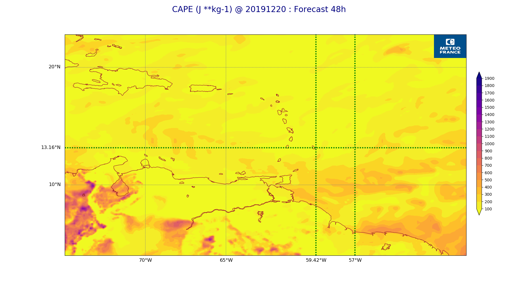
ARPEGE_map2D_CAPE_20191220_fct_48.png
2019-12-20 12:07
230K
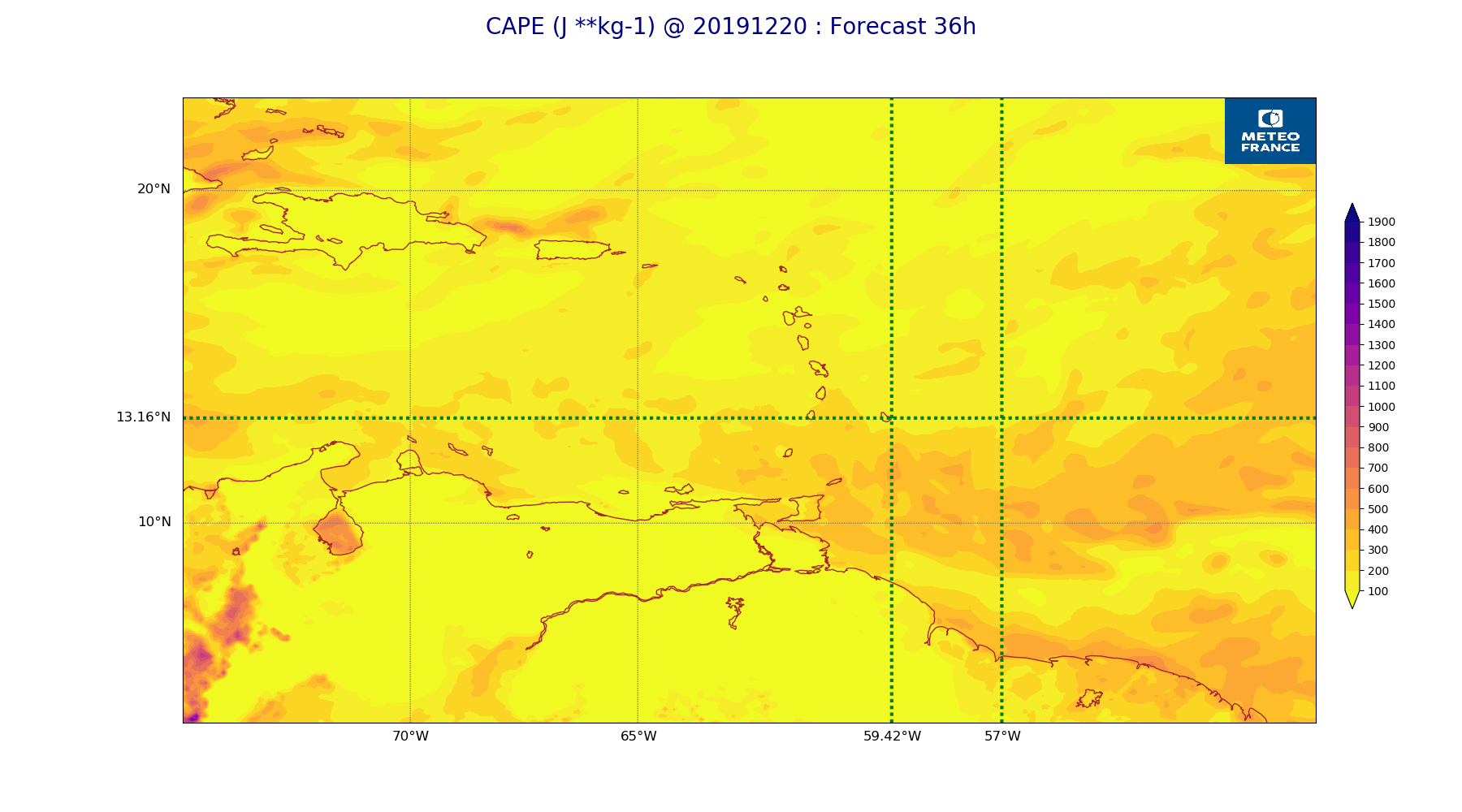
ARPEGE_map2D_CAPE_20191220_fct_36.png
2019-12-20 12:07
215K
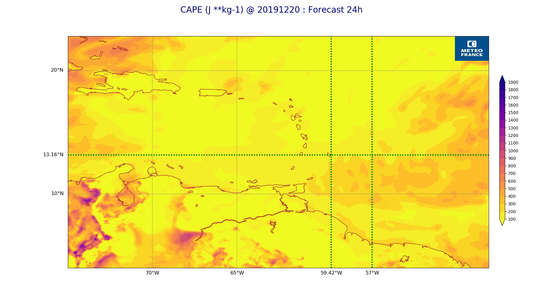
ARPEGE_map2D_CAPE_20191220_fct_24.png
2019-12-20 12:07
235K
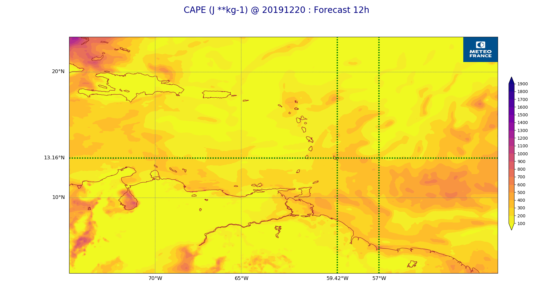
ARPEGE_map2D_CAPE_20191220_fct_12.png
2019-12-20 12:06
227K
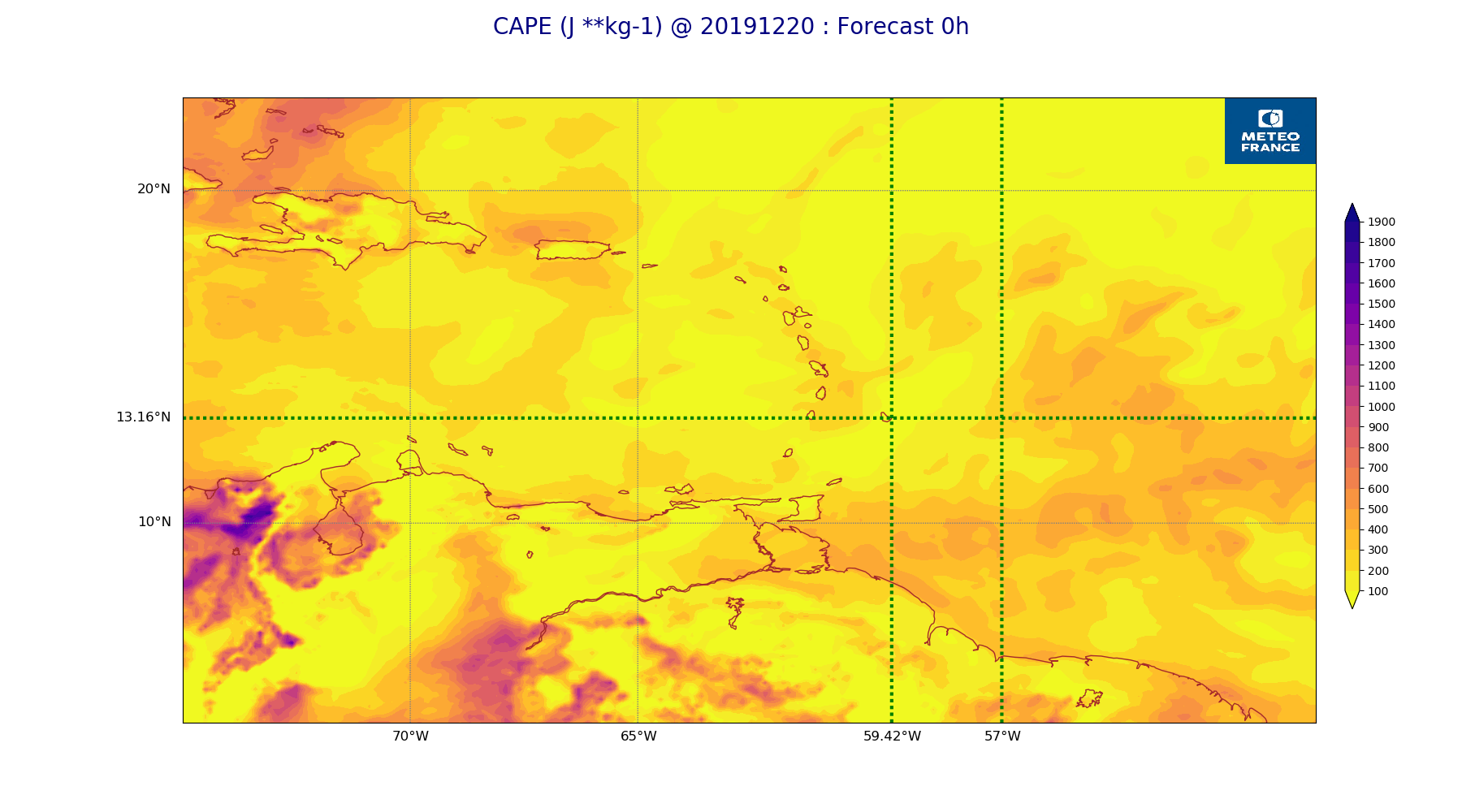
ARPEGE_map2D_CAPE_20191220_fct_0.png
2019-12-20 12:06
249K