Index of /aeris/eurec4a-data/FORECASTS/GLOBAL/ARPEGE/2019/20191221/map2D
Name
Last modified
Size
Parent Directory
-
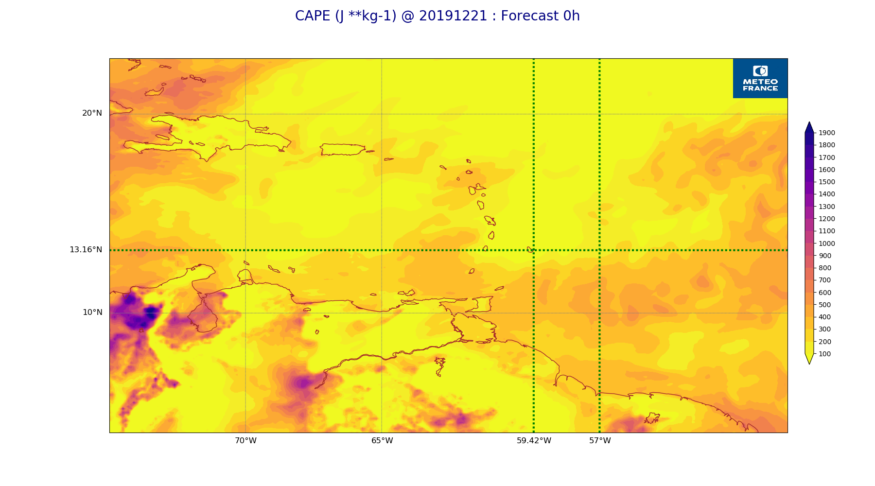
ARPEGE_map2D_CAPE_20191221_fct_0.png
2019-12-21 12:07
244K
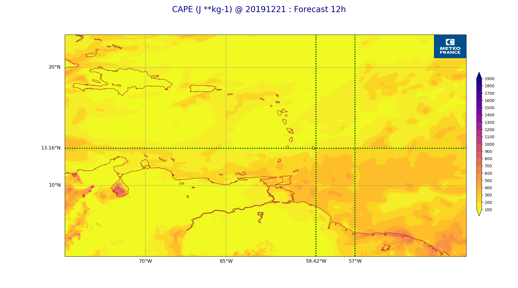
ARPEGE_map2D_CAPE_20191221_fct_12.png
2019-12-21 12:07
209K
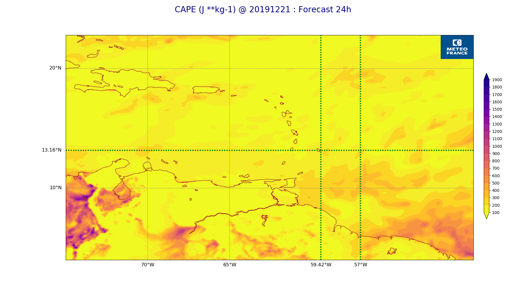
ARPEGE_map2D_CAPE_20191221_fct_24.png
2019-12-21 12:07
230K
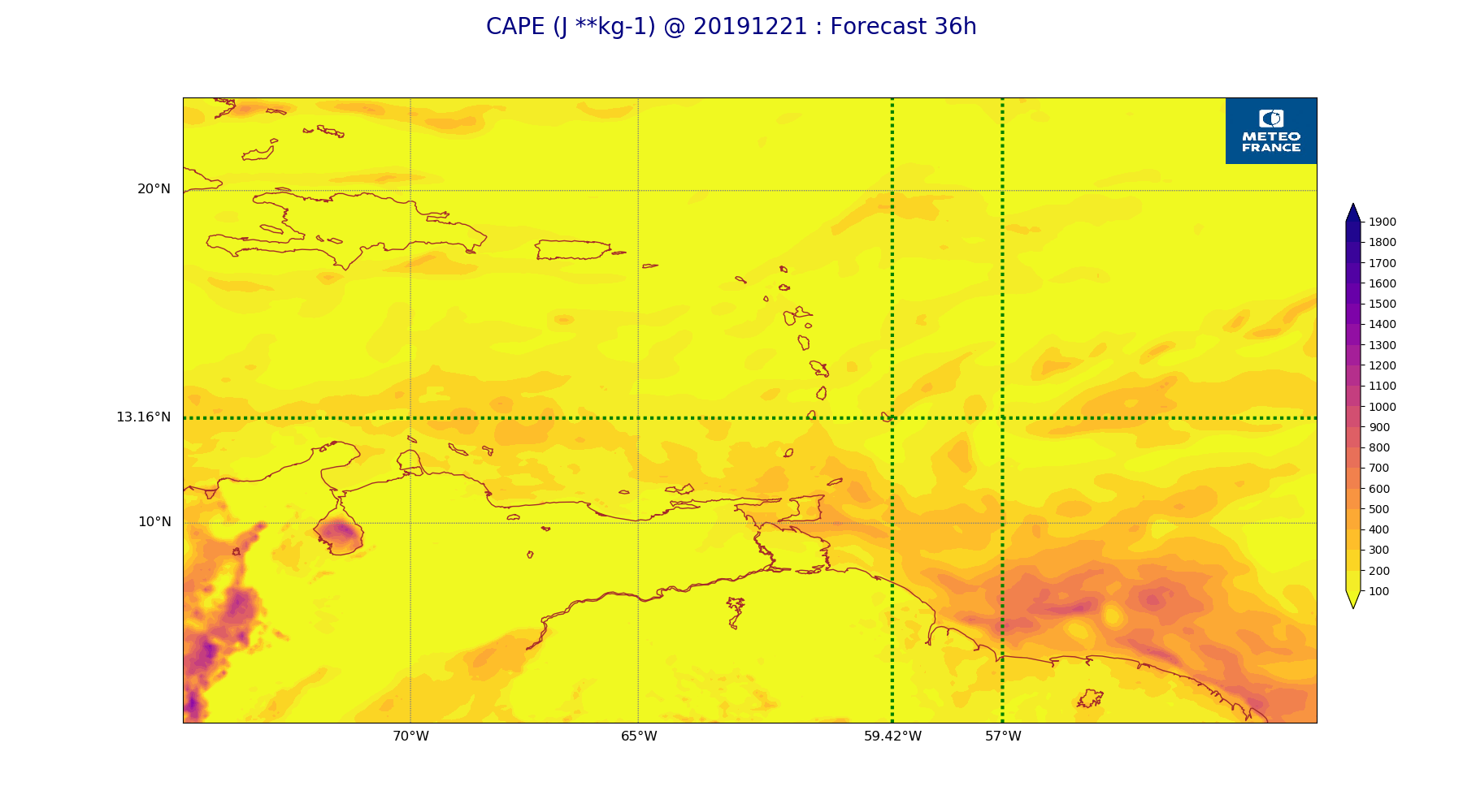
ARPEGE_map2D_CAPE_20191221_fct_36.png
2019-12-21 12:07
217K
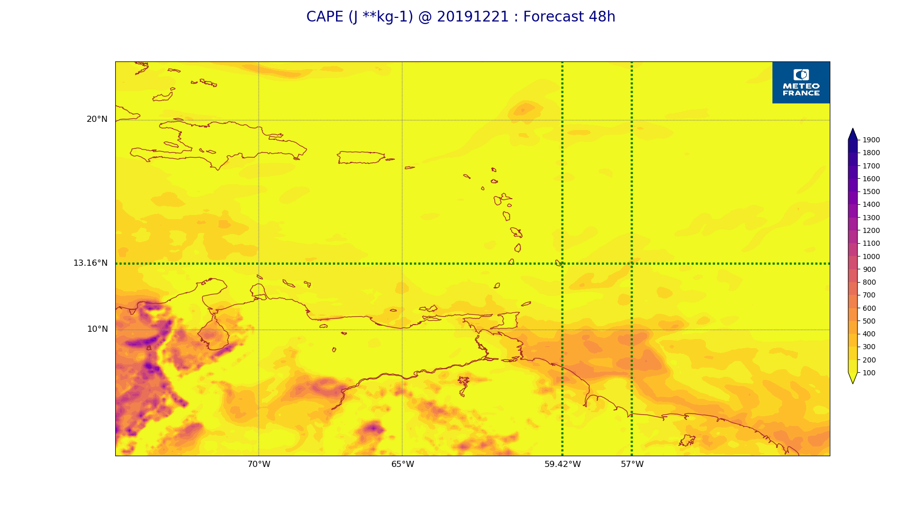
ARPEGE_map2D_CAPE_20191221_fct_48.png
2019-12-21 12:07
227K
ARPEGE_map2D_Cum_3h_RAIN_20191221_fct_0.png
2019-12-21 12:02
150K
ARPEGE_map2D_Cum_3h_RAIN_20191221_fct_12.png
2019-12-21 12:02
205K
ARPEGE_map2D_Cum_3h_RAIN_20191221_fct_24.png
2019-12-21 12:02
203K
ARPEGE_map2D_Cum_3h_RAIN_20191221_fct_36.png
2019-12-21 12:02
229K
ARPEGE_map2D_Cum_3h_RAIN_20191221_fct_48.png
2019-12-21 12:03
182K
ARPEGE_map2D_Fraction_cloud_cover_200hPa_20191221_fct_0.png
2019-12-21 11:56
160K
ARPEGE_map2D_Fraction_cloud_cover_200hPa_20191221_fct_12.png
2019-12-21 11:56
322K
ARPEGE_map2D_Fraction_cloud_cover_200hPa_20191221_fct_24.png
2019-12-21 11:56
333K
ARPEGE_map2D_Fraction_cloud_cover_200hPa_20191221_fct_36.png
2019-12-21 11:57
325K
ARPEGE_map2D_Fraction_cloud_cover_200hPa_20191221_fct_48.png
2019-12-21 11:57
387K
ARPEGE_map2D_Fraction_cloud_cover_500hPa_20191221_fct_0.png
2019-12-21 11:56
160K
ARPEGE_map2D_Fraction_cloud_cover_500hPa_20191221_fct_12.png
2019-12-21 11:56
358K
ARPEGE_map2D_Fraction_cloud_cover_500hPa_20191221_fct_24.png
2019-12-21 11:56
333K
ARPEGE_map2D_Fraction_cloud_cover_500hPa_20191221_fct_36.png
2019-12-21 11:57
333K
ARPEGE_map2D_Fraction_cloud_cover_500hPa_20191221_fct_48.png
2019-12-21 11:57
309K
ARPEGE_map2D_Fraction_cloud_cover_850hPa_20191221_fct_0.png
2019-12-21 11:56
161K
ARPEGE_map2D_Fraction_cloud_cover_850hPa_20191221_fct_12.png
2019-12-21 11:56
592K
ARPEGE_map2D_Fraction_cloud_cover_850hPa_20191221_fct_24.png
2019-12-21 11:57
636K
ARPEGE_map2D_Fraction_cloud_cover_850hPa_20191221_fct_36.png
2019-12-21 11:57
606K
ARPEGE_map2D_Fraction_cloud_cover_850hPa_20191221_fct_48.png
2019-12-21 11:57
628K
ARPEGE_map2D_Fraction_cloud_cover_925hPa_20191221_fct_0.png
2019-12-21 11:56
160K
ARPEGE_map2D_Fraction_cloud_cover_925hPa_20191221_fct_12.png
2019-12-21 11:56
692K
ARPEGE_map2D_Fraction_cloud_cover_925hPa_20191221_fct_24.png
2019-12-21 11:57
677K
ARPEGE_map2D_Fraction_cloud_cover_925hPa_20191221_fct_36.png
2019-12-21 11:57
667K
ARPEGE_map2D_Fraction_cloud_cover_925hPa_20191221_fct_48.png
2019-12-21 11:57
674K
ARPEGE_map2D_Geopotential_0_7_PVU_20191221_fct_0.png
2019-12-21 11:59
208K
ARPEGE_map2D_Geopotential_0_7_PVU_20191221_fct_12.png
2019-12-21 11:59
197K
ARPEGE_map2D_Geopotential_0_7_PVU_20191221_fct_24.png
2019-12-21 11:59
199K
ARPEGE_map2D_Geopotential_0_7_PVU_20191221_fct_36.png
2019-12-21 12:00
197K
ARPEGE_map2D_Geopotential_0_7_PVU_20191221_fct_48.png
2019-12-21 12:00
200K
ARPEGE_map2D_High_CC_sup_450hPa_20191221_fct_0.png
2019-12-21 12:01
167K
ARPEGE_map2D_High_CC_sup_450hPa_20191221_fct_12.png
2019-12-21 12:01
220K
ARPEGE_map2D_High_CC_sup_450hPa_20191221_fct_24.png
2019-12-21 12:02
250K
ARPEGE_map2D_High_CC_sup_450hPa_20191221_fct_36.png
2019-12-21 12:02
198K
ARPEGE_map2D_High_CC_sup_450hPa_20191221_fct_48.png
2019-12-21 12:02
227K
ARPEGE_map2D_IWP_20191221_fct_0.png
2019-12-21 12:05
150K
ARPEGE_map2D_IWP_20191221_fct_12.png
2019-12-21 12:06
150K
ARPEGE_map2D_IWP_20191221_fct_24.png
2019-12-21 12:06
150K
ARPEGE_map2D_IWP_20191221_fct_36.png
2019-12-21 12:06
151K
ARPEGE_map2D_IWP_20191221_fct_48.png
2019-12-21 12:06
151K
ARPEGE_map2D_LWP_20191221_fct_0.png
2019-12-21 12:05
140K
ARPEGE_map2D_LWP_20191221_fct_12.png
2019-12-21 12:05
140K
ARPEGE_map2D_LWP_20191221_fct_24.png
2019-12-21 12:05
140K
ARPEGE_map2D_LWP_20191221_fct_36.png
2019-12-21 12:05
141K
ARPEGE_map2D_LWP_20191221_fct_48.png
2019-12-21 12:05
140K
ARPEGE_map2D_Low_CC_inf_785hPa_20191221_fct_0.png
2019-12-21 12:00
166K
ARPEGE_map2D_Low_CC_inf_785hPa_20191221_fct_12.png
2019-12-21 12:00
384K
ARPEGE_map2D_Low_CC_inf_785hPa_20191221_fct_24.png
2019-12-21 12:00
396K
ARPEGE_map2D_Low_CC_inf_785hPa_20191221_fct_36.png
2019-12-21 12:00
387K
ARPEGE_map2D_Low_CC_inf_785hPa_20191221_fct_48.png
2019-12-21 12:00
389K
ARPEGE_map2D_Mid_CC_785_450hPa_20191221_fct_0.png
2019-12-21 12:01
167K
ARPEGE_map2D_Mid_CC_785_450hPa_20191221_fct_12.png
2019-12-21 12:01
429K
ARPEGE_map2D_Mid_CC_785_450hPa_20191221_fct_24.png
2019-12-21 12:01
428K
ARPEGE_map2D_Mid_CC_785_450hPa_20191221_fct_36.png
2019-12-21 12:01
430K
ARPEGE_map2D_Mid_CC_785_450hPa_20191221_fct_48.png
2019-12-21 12:01
341K
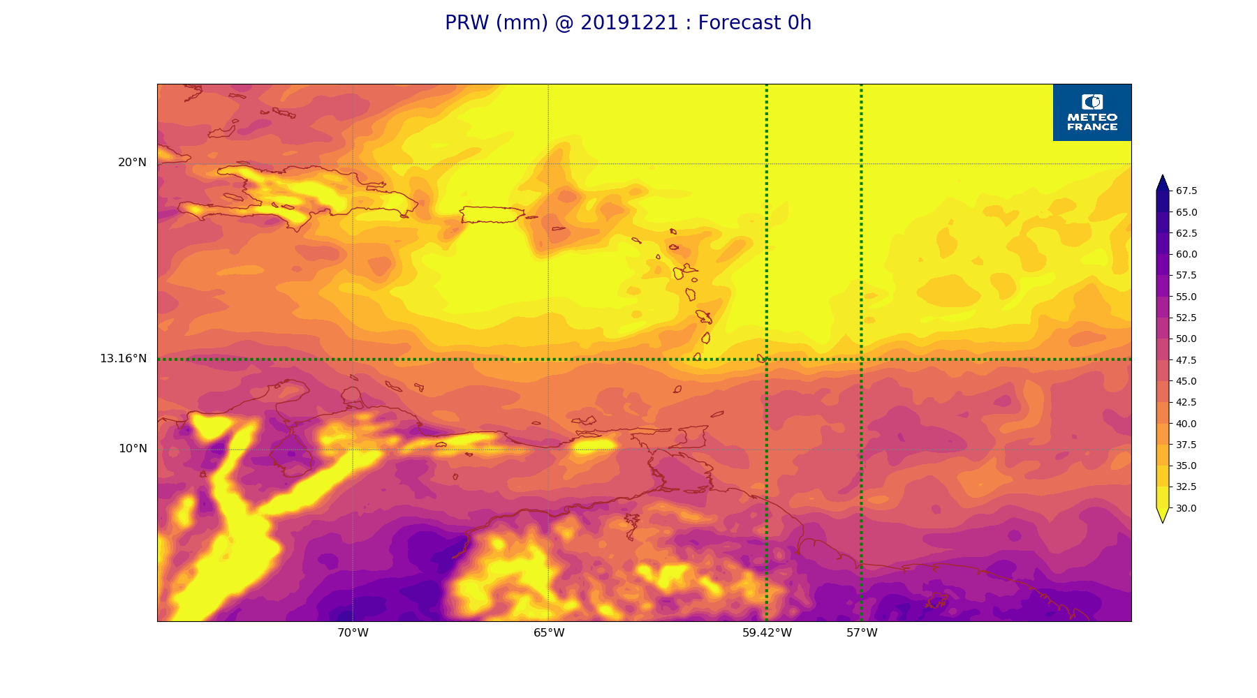
ARPEGE_map2D_PRW_20191221_fct_0.png
2019-12-21 12:03
231K
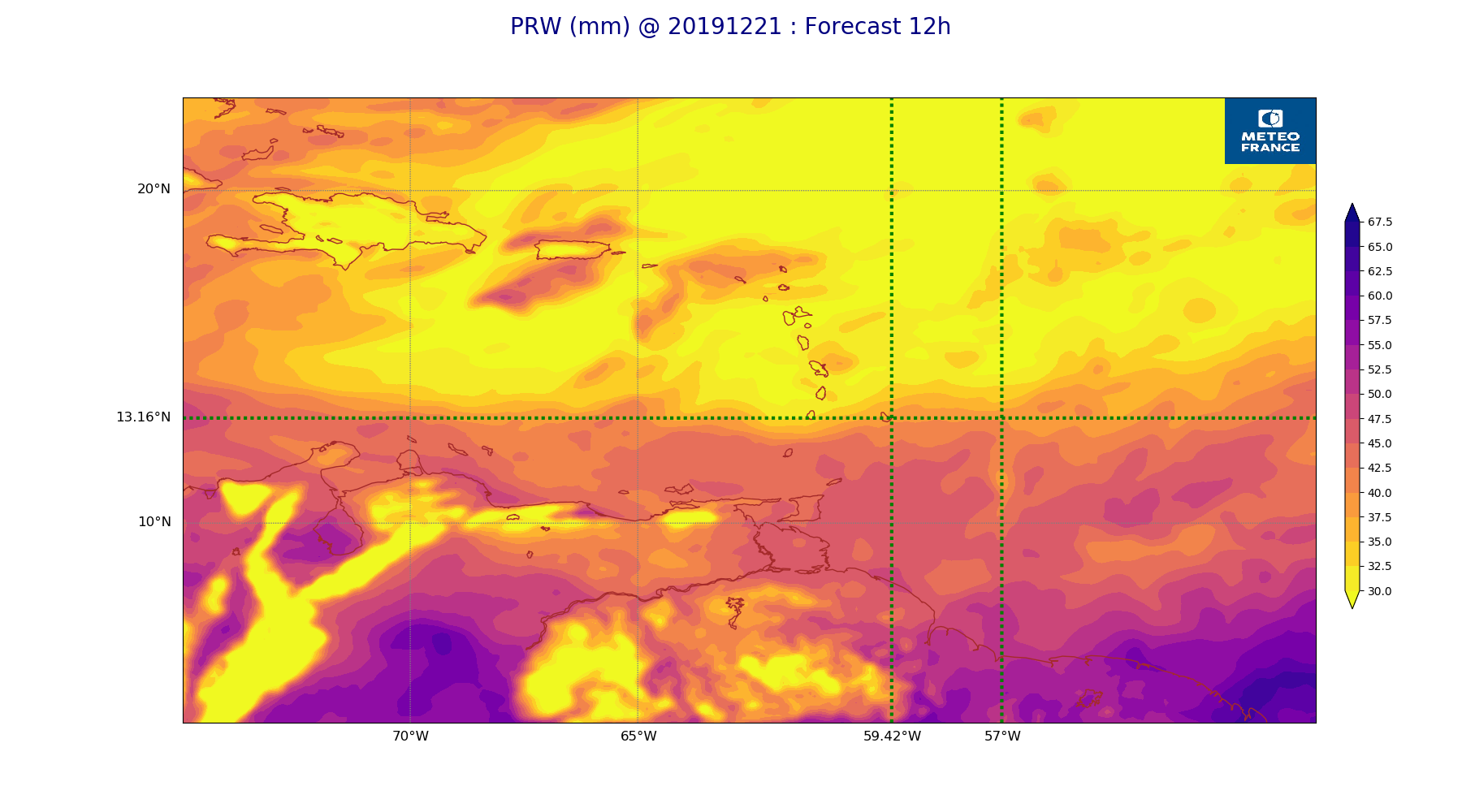
ARPEGE_map2D_PRW_20191221_fct_12.png
2019-12-21 12:03
234K
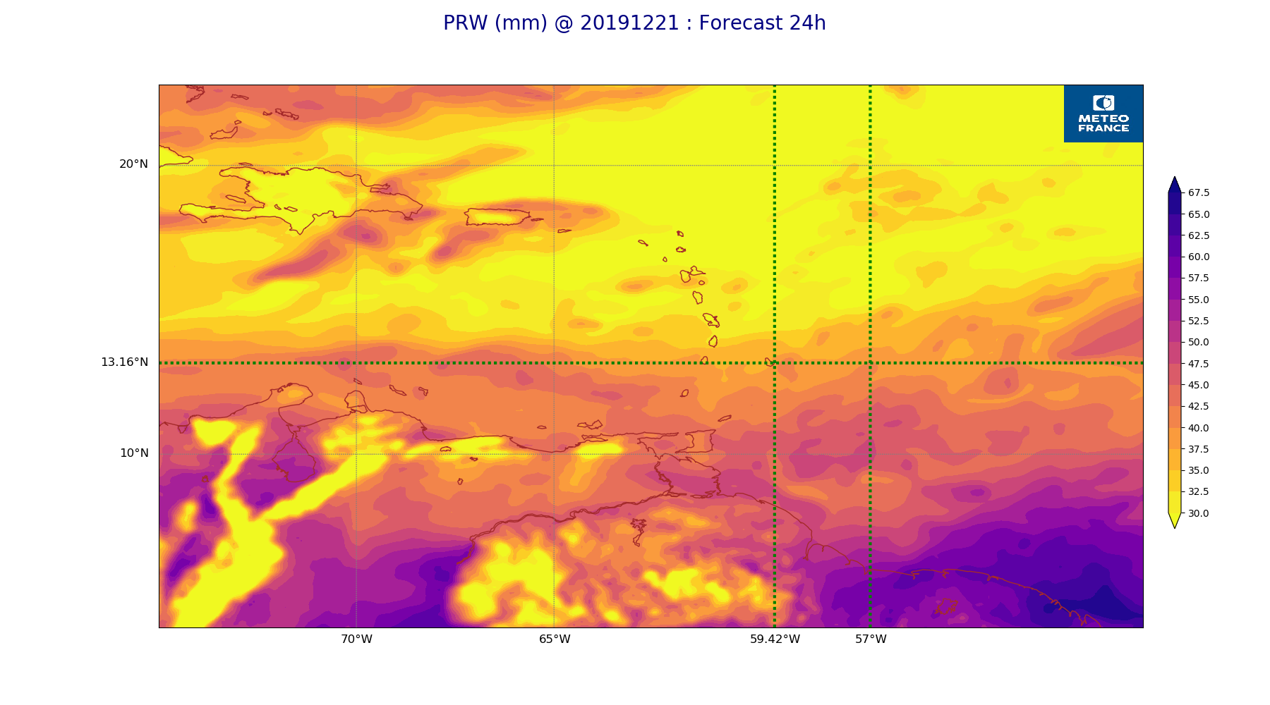
ARPEGE_map2D_PRW_20191221_fct_24.png
2019-12-21 12:03
234K
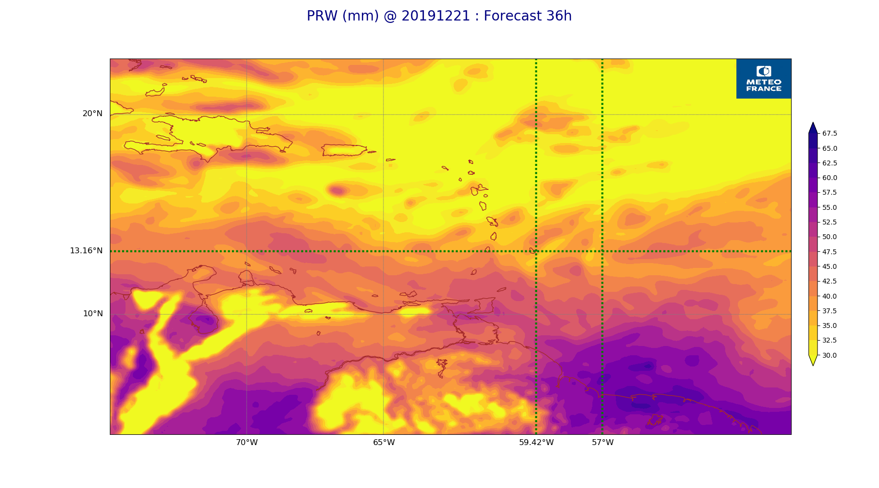
ARPEGE_map2D_PRW_20191221_fct_36.png
2019-12-21 12:03
238K
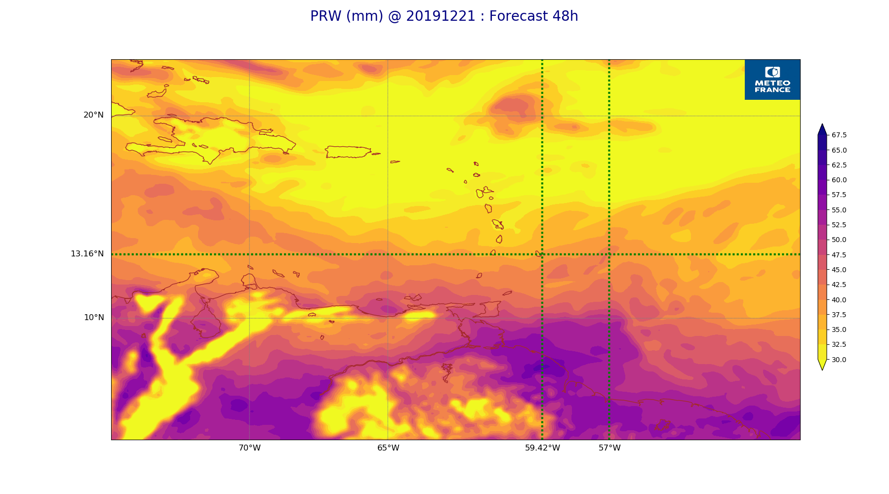
ARPEGE_map2D_PRW_20191221_fct_48.png
2019-12-21 12:03
231K
ARPEGE_map2D_Psfc_20191221_fct_0.png
2019-12-21 12:06
147K
ARPEGE_map2D_Psfc_20191221_fct_12.png
2019-12-21 12:06
147K
ARPEGE_map2D_Psfc_20191221_fct_24.png
2019-12-21 12:06
147K
ARPEGE_map2D_Psfc_20191221_fct_36.png
2019-12-21 12:07
147K
ARPEGE_map2D_Psfc_20191221_fct_48.png
2019-12-21 12:07
147K
ARPEGE_map2D_RH_500hPa_20191221_fct_0.png
2019-12-21 11:58
215K
ARPEGE_map2D_RH_500hPa_20191221_fct_12.png
2019-12-21 11:58
210K
ARPEGE_map2D_RH_500hPa_20191221_fct_24.png
2019-12-21 11:58
213K
ARPEGE_map2D_RH_500hPa_20191221_fct_36.png
2019-12-21 11:58
206K
ARPEGE_map2D_RH_500hPa_20191221_fct_48.png
2019-12-21 11:59
202K
ARPEGE_map2D_RH_700hPa_20191221_fct_0.png
2019-12-21 11:58
243K
ARPEGE_map2D_RH_700hPa_20191221_fct_12.png
2019-12-21 11:58
243K
ARPEGE_map2D_RH_700hPa_20191221_fct_24.png
2019-12-21 11:58
242K
ARPEGE_map2D_RH_700hPa_20191221_fct_36.png
2019-12-21 11:58
249K
ARPEGE_map2D_RH_700hPa_20191221_fct_48.png
2019-12-21 11:59
249K
ARPEGE_map2D_RH_850hPa_20191221_fct_0.png
2019-12-21 11:58
284K
ARPEGE_map2D_RH_850hPa_20191221_fct_12.png
2019-12-21 11:58
290K
ARPEGE_map2D_RH_850hPa_20191221_fct_24.png
2019-12-21 11:58
290K
ARPEGE_map2D_RH_850hPa_20191221_fct_36.png
2019-12-21 11:58
292K
ARPEGE_map2D_RH_850hPa_20191221_fct_48.png
2019-12-21 11:58
285K
ARPEGE_map2D_T_500hPa_20191221_fct_0.png
2019-12-21 11:57
170K
ARPEGE_map2D_T_500hPa_20191221_fct_12.png
2019-12-21 11:57
172K
ARPEGE_map2D_T_500hPa_20191221_fct_24.png
2019-12-21 11:58
166K
ARPEGE_map2D_T_500hPa_20191221_fct_36.png
2019-12-21 11:58
170K
ARPEGE_map2D_T_500hPa_20191221_fct_48.png
2019-12-21 11:58
164K
ARPEGE_map2D_T_850hPa_20191221_fct_0.png
2019-12-21 11:57
175K
ARPEGE_map2D_T_850hPa_20191221_fct_12.png
2019-12-21 11:58
180K
ARPEGE_map2D_T_850hPa_20191221_fct_24.png
2019-12-21 11:58
176K
ARPEGE_map2D_T_850hPa_20191221_fct_36.png
2019-12-21 11:58
175K
ARPEGE_map2D_T_850hPa_20191221_fct_48.png
2019-12-21 11:58
176K
ARPEGE_map2D_T_925hPa_20191221_fct_0.png
2019-12-21 11:57
179K
ARPEGE_map2D_T_925hPa_20191221_fct_12.png
2019-12-21 11:58
185K
ARPEGE_map2D_T_925hPa_20191221_fct_24.png
2019-12-21 11:58
180K
ARPEGE_map2D_T_925hPa_20191221_fct_36.png
2019-12-21 11:58
185K
ARPEGE_map2D_T_925hPa_20191221_fct_48.png
2019-12-21 11:58
186K
ARPEGE_map2D_U_200hPa_20191221_fct_0.png
2019-12-21 11:55
171K
ARPEGE_map2D_U_200hPa_20191221_fct_12.png
2019-12-21 11:55
165K
ARPEGE_map2D_U_200hPa_20191221_fct_24.png
2019-12-21 11:55
164K
ARPEGE_map2D_U_200hPa_20191221_fct_36.png
2019-12-21 11:55
168K
ARPEGE_map2D_U_200hPa_20191221_fct_48.png
2019-12-21 11:55
177K
ARPEGE_map2D_U_500hPa_20191221_fct_0.png
2019-12-21 11:55
194K
ARPEGE_map2D_U_500hPa_20191221_fct_12.png
2019-12-21 11:55
194K
ARPEGE_map2D_U_500hPa_20191221_fct_24.png
2019-12-21 11:55
191K
ARPEGE_map2D_U_500hPa_20191221_fct_36.png
2019-12-21 11:55
193K
ARPEGE_map2D_U_500hPa_20191221_fct_48.png
2019-12-21 11:55
188K
ARPEGE_map2D_U_850hPa_20191221_fct_0.png
2019-12-21 11:55
204K
ARPEGE_map2D_U_850hPa_20191221_fct_12.png
2019-12-21 11:55
203K
ARPEGE_map2D_U_850hPa_20191221_fct_24.png
2019-12-21 11:55
206K
ARPEGE_map2D_U_850hPa_20191221_fct_36.png
2019-12-21 11:55
209K
ARPEGE_map2D_U_850hPa_20191221_fct_48.png
2019-12-21 11:55
205K
ARPEGE_map2D_U_925hPa_20191221_fct_0.png
2019-12-21 11:55
198K
ARPEGE_map2D_U_925hPa_20191221_fct_12.png
2019-12-21 11:55
201K
ARPEGE_map2D_U_925hPa_20191221_fct_24.png
2019-12-21 11:55
199K
ARPEGE_map2D_U_925hPa_20191221_fct_36.png
2019-12-21 11:55
202K
ARPEGE_map2D_U_925hPa_20191221_fct_48.png
2019-12-21 11:55
203K
ARPEGE_map2D_V_200hPa_20191221_fct_0.png
2019-12-21 11:55
214K
ARPEGE_map2D_V_200hPa_20191221_fct_12.png
2019-12-21 11:56
213K
ARPEGE_map2D_V_200hPa_20191221_fct_24.png
2019-12-21 11:56
204K
ARPEGE_map2D_V_200hPa_20191221_fct_36.png
2019-12-21 11:56
194K
ARPEGE_map2D_V_200hPa_20191221_fct_48.png
2019-12-21 11:56
201K
ARPEGE_map2D_V_500hPa_20191221_fct_0.png
2019-12-21 11:56
228K
ARPEGE_map2D_V_500hPa_20191221_fct_12.png
2019-12-21 11:56
225K
ARPEGE_map2D_V_500hPa_20191221_fct_24.png
2019-12-21 11:56
219K
ARPEGE_map2D_V_500hPa_20191221_fct_36.png
2019-12-21 11:56
223K
ARPEGE_map2D_V_500hPa_20191221_fct_48.png
2019-12-21 11:56
212K
ARPEGE_map2D_V_850hPa_20191221_fct_0.png
2019-12-21 11:56
262K
ARPEGE_map2D_V_850hPa_20191221_fct_12.png
2019-12-21 11:56
261K
ARPEGE_map2D_V_850hPa_20191221_fct_24.png
2019-12-21 11:56
263K
ARPEGE_map2D_V_850hPa_20191221_fct_36.png
2019-12-21 11:56
265K
ARPEGE_map2D_V_850hPa_20191221_fct_48.png
2019-12-21 11:56
263K
ARPEGE_map2D_V_925hPa_20191221_fct_0.png
2019-12-21 11:56
247K
ARPEGE_map2D_V_925hPa_20191221_fct_12.png
2019-12-21 11:56
245K
ARPEGE_map2D_V_925hPa_20191221_fct_24.png
2019-12-21 11:56
252K
ARPEGE_map2D_V_925hPa_20191221_fct_36.png
2019-12-21 11:56
253K
ARPEGE_map2D_V_925hPa_20191221_fct_48.png
2019-12-21 11:56
250K
ARPEGE_map2D_Vertical_velocity_500hPa_20191221_fct_0.png
2019-12-21 11:54
246K
ARPEGE_map2D_Vertical_velocity_500hPa_20191221_fct_12.png
2019-12-21 11:54
241K
ARPEGE_map2D_Vertical_velocity_500hPa_20191221_fct_24.png
2019-12-21 11:55
242K
ARPEGE_map2D_Vertical_velocity_500hPa_20191221_fct_36.png
2019-12-21 11:55
248K
ARPEGE_map2D_Vertical_velocity_500hPa_20191221_fct_48.png
2019-12-21 11:55
233K
ARPEGE_map2D_Vertical_velocity_700hPa_20191221_fct_0.png
2019-12-21 11:54
270K
ARPEGE_map2D_Vertical_velocity_700hPa_20191221_fct_12.png
2019-12-21 11:54
278K
ARPEGE_map2D_Vertical_velocity_700hPa_20191221_fct_24.png
2019-12-21 11:55
280K
ARPEGE_map2D_Vertical_velocity_700hPa_20191221_fct_36.png
2019-12-21 11:55
280K
ARPEGE_map2D_Vertical_velocity_700hPa_20191221_fct_48.png
2019-12-21 11:55
258K
ARPEGE_map2D_Vertical_velocity_850hPa_20191221_fct_0.png
2019-12-21 11:54
296K
ARPEGE_map2D_Vertical_velocity_850hPa_20191221_fct_12.png
2019-12-21 11:54
299K
ARPEGE_map2D_Vertical_velocity_850hPa_20191221_fct_24.png
2019-12-21 11:55
307K
ARPEGE_map2D_Vertical_velocity_850hPa_20191221_fct_36.png
2019-12-21 11:55
304K
ARPEGE_map2D_Vertical_velocity_850hPa_20191221_fct_48.png
2019-12-21 11:55
289K
ARPEGE_map2D_qv_500hPa_20191221_fct_0.png
2019-12-21 11:59
158K
ARPEGE_map2D_qv_500hPa_20191221_fct_12.png
2019-12-21 11:59
157K
ARPEGE_map2D_qv_500hPa_20191221_fct_24.png
2019-12-21 11:59
158K
ARPEGE_map2D_qv_500hPa_20191221_fct_36.png
2019-12-21 11:59
158K
ARPEGE_map2D_qv_500hPa_20191221_fct_48.png
2019-12-21 11:59
157K
ARPEGE_map2D_qv_850hPa_20191221_fct_0.png
2019-12-21 11:59
238K
ARPEGE_map2D_qv_850hPa_20191221_fct_12.png
2019-12-21 11:59
242K
ARPEGE_map2D_qv_850hPa_20191221_fct_24.png
2019-12-21 11:59
243K
ARPEGE_map2D_qv_850hPa_20191221_fct_36.png
2019-12-21 11:59
242K
ARPEGE_map2D_qv_850hPa_20191221_fct_48.png
2019-12-21 11:59
240K
ARPEGE_map2D_qv_925hPa_20191221_fct_0.png
2019-12-21 11:59
234K
ARPEGE_map2D_qv_925hPa_20191221_fct_12.png
2019-12-21 11:59
231K
ARPEGE_map2D_qv_925hPa_20191221_fct_24.png
2019-12-21 11:59
237K
ARPEGE_map2D_qv_925hPa_20191221_fct_36.png
2019-12-21 11:59
241K
ARPEGE_map2D_qv_925hPa_20191221_fct_48.png
2019-12-21 11:59
242K
ARPEGE_map2D_theta_500hPa_20191221_fct_0.png
2019-12-21 11:57
169K
ARPEGE_map2D_theta_500hPa_20191221_fct_12.png
2019-12-21 11:57
169K
ARPEGE_map2D_theta_500hPa_20191221_fct_24.png
2019-12-21 11:57
164K
ARPEGE_map2D_theta_500hPa_20191221_fct_36.png
2019-12-21 11:57
171K
ARPEGE_map2D_theta_500hPa_20191221_fct_48.png
2019-12-21 11:57
164K
ARPEGE_map2D_theta_850hPa_20191221_fct_0.png
2019-12-21 11:57
171K
ARPEGE_map2D_theta_850hPa_20191221_fct_12.png
2019-12-21 11:57
175K
ARPEGE_map2D_theta_850hPa_20191221_fct_24.png
2019-12-21 11:57
172K
ARPEGE_map2D_theta_850hPa_20191221_fct_36.png
2019-12-21 11:57
175K
ARPEGE_map2D_theta_850hPa_20191221_fct_48.png
2019-12-21 11:57
171K
ARPEGE_map2D_theta_925hPa_20191221_fct_0.png
2019-12-21 11:57
179K
ARPEGE_map2D_theta_925hPa_20191221_fct_12.png
2019-12-21 11:57
186K
ARPEGE_map2D_theta_925hPa_20191221_fct_24.png
2019-12-21 11:57
182K
ARPEGE_map2D_theta_925hPa_20191221_fct_36.png
2019-12-21 11:57
189K
ARPEGE_map2D_theta_925hPa_20191221_fct_48.png
2019-12-21 11:57
182K
ARPEGE_map2D_u10_20191221_fct_0.png
2019-12-21 12:03
233K
ARPEGE_map2D_u10_20191221_fct_12.png
2019-12-21 12:04
233K
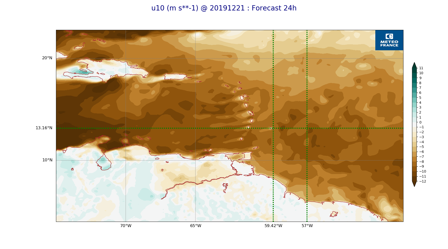
ARPEGE_map2D_u10_20191221_fct_24.png
2019-12-21 12:04
234K
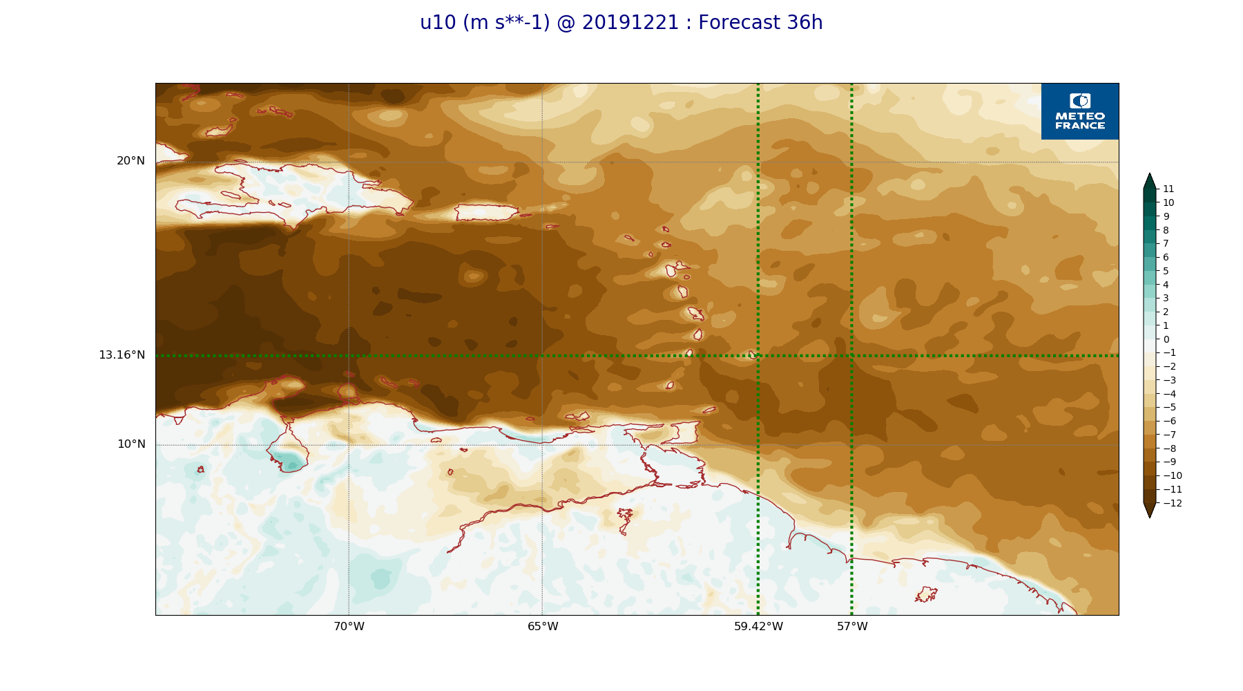
ARPEGE_map2D_u10_20191221_fct_36.png
2019-12-21 12:04
236K
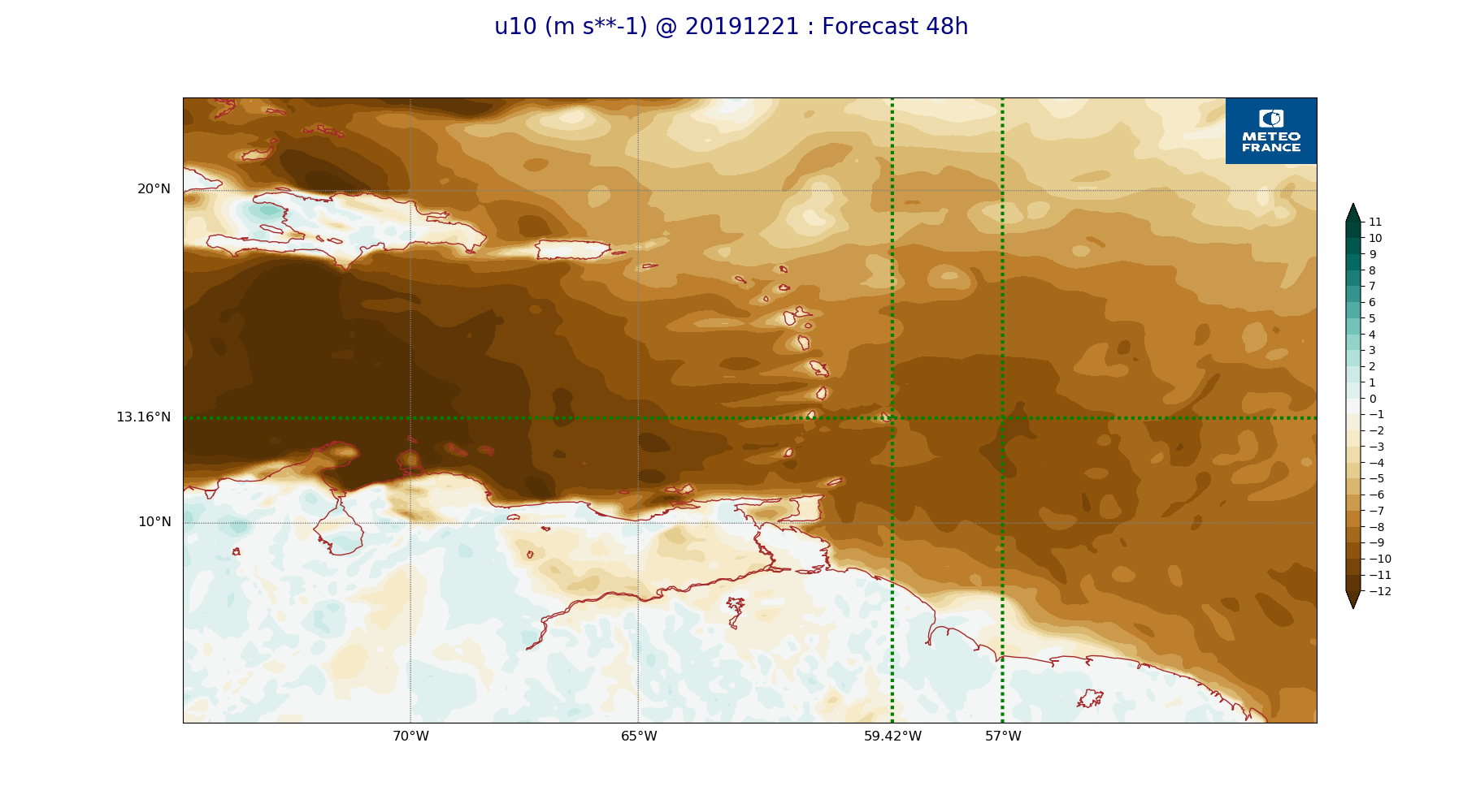
ARPEGE_map2D_u10_20191221_fct_48.png
2019-12-21 12:04
231K
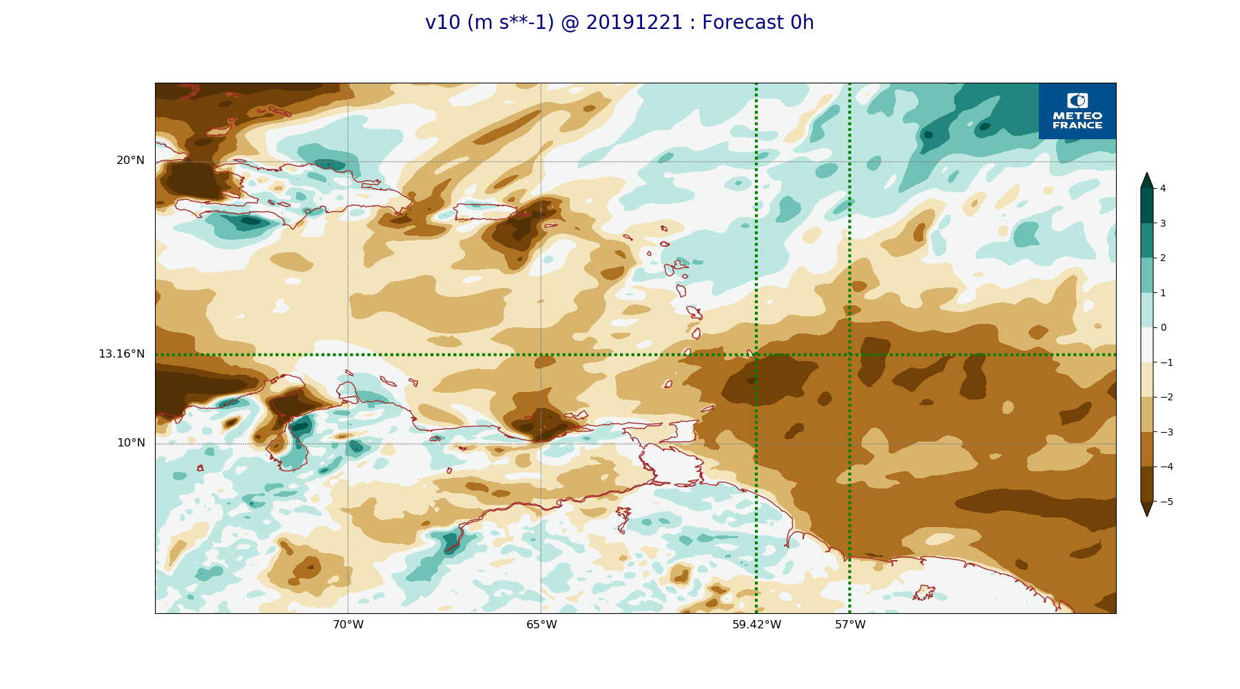
ARPEGE_map2D_v10_20191221_fct_0.png
2019-12-21 12:04
219K
ARPEGE_map2D_v10_20191221_fct_12.png
2019-12-21 12:04
220K
ARPEGE_map2D_v10_20191221_fct_24.png
2019-12-21 12:04
224K
ARPEGE_map2D_v10_20191221_fct_36.png
2019-12-21 12:05
225K
ARPEGE_map2D_v10_20191221_fct_48.png
2019-12-21 12:05
222K