Index of /aeris/eurec4a-data/FORECASTS/GLOBAL/ARPEGE/2019/20191222/map2D
Name
Last modified
Size
Parent Directory
-
ARPEGE_map2D_LWP_20191222_fct_0.png
2019-12-22 12:04
140K
ARPEGE_map2D_LWP_20191222_fct_12.png
2019-12-22 12:04
140K
ARPEGE_map2D_LWP_20191222_fct_24.png
2019-12-22 12:04
141K
ARPEGE_map2D_LWP_20191222_fct_48.png
2019-12-22 12:05
141K
ARPEGE_map2D_LWP_20191222_fct_36.png
2019-12-22 12:05
141K
ARPEGE_map2D_Psfc_20191222_fct_12.png
2019-12-22 12:06
147K
ARPEGE_map2D_Psfc_20191222_fct_0.png
2019-12-22 12:06
147K
ARPEGE_map2D_Psfc_20191222_fct_24.png
2019-12-22 12:06
147K
ARPEGE_map2D_Psfc_20191222_fct_48.png
2019-12-22 12:06
148K
ARPEGE_map2D_Psfc_20191222_fct_36.png
2019-12-22 12:06
148K
ARPEGE_map2D_Cum_3h_RAIN_20191222_fct_0.png
2019-12-22 12:01
150K
ARPEGE_map2D_IWP_20191222_fct_0.png
2019-12-22 12:05
150K
ARPEGE_map2D_IWP_20191222_fct_12.png
2019-12-22 12:05
151K
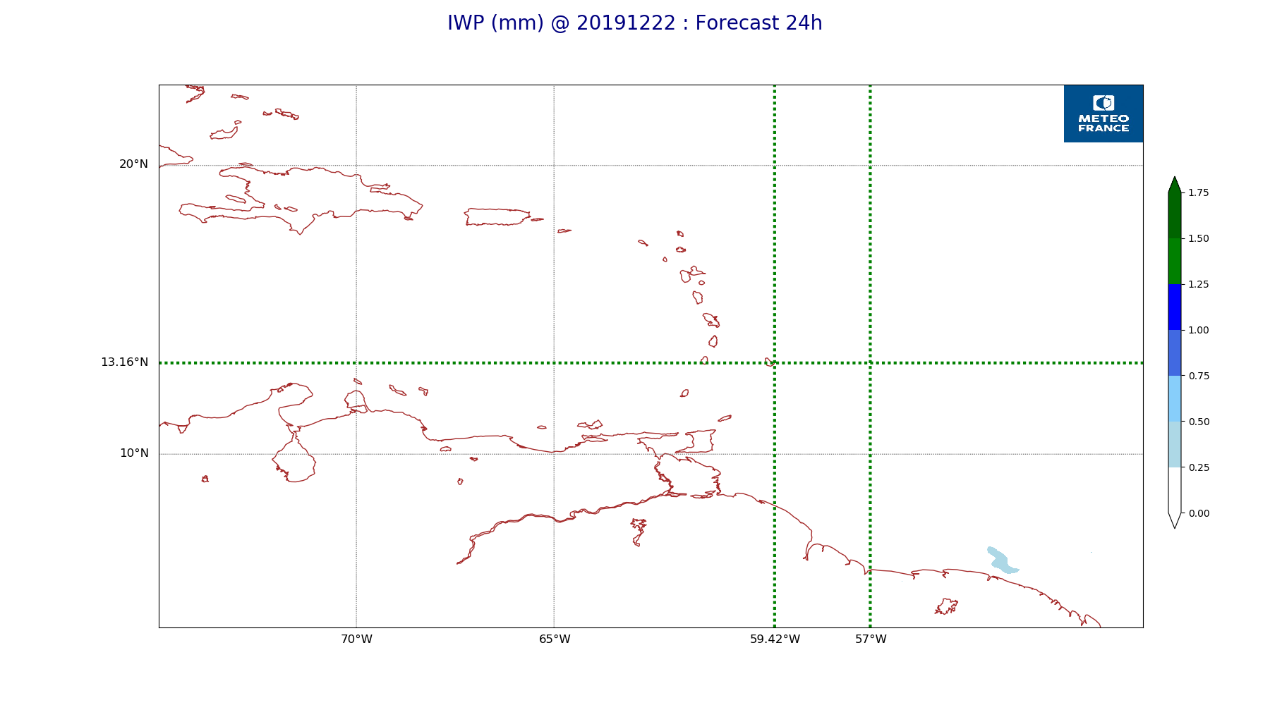
ARPEGE_map2D_IWP_20191222_fct_24.png
2019-12-22 12:05
151K
ARPEGE_map2D_IWP_20191222_fct_48.png
2019-12-22 12:05
151K
ARPEGE_map2D_IWP_20191222_fct_36.png
2019-12-22 12:05
151K
ARPEGE_map2D_qv_500hPa_20191222_fct_48.png
2019-12-22 11:59
158K
ARPEGE_map2D_qv_500hPa_20191222_fct_36.png
2019-12-22 11:58
158K
ARPEGE_map2D_qv_500hPa_20191222_fct_0.png
2019-12-22 11:58
158K
ARPEGE_map2D_theta_500hPa_20191222_fct_48.png
2019-12-22 11:57
158K
ARPEGE_map2D_qv_500hPa_20191222_fct_24.png
2019-12-22 11:58
159K
ARPEGE_map2D_qv_500hPa_20191222_fct_12.png
2019-12-22 11:58
159K
ARPEGE_map2D_Fraction_cloud_cover_925hPa_20191222_fct_0.png
2019-12-22 11:56
161K
ARPEGE_map2D_Fraction_cloud_cover_500hPa_20191222_fct_0.png
2019-12-22 11:56
161K
ARPEGE_map2D_Fraction_cloud_cover_200hPa_20191222_fct_0.png
2019-12-22 11:56
161K
ARPEGE_map2D_Fraction_cloud_cover_850hPa_20191222_fct_0.png
2019-12-22 11:56
161K
ARPEGE_map2D_theta_500hPa_20191222_fct_24.png
2019-12-22 11:57
163K
ARPEGE_map2D_U_200hPa_20191222_fct_0.png
2019-12-22 11:54
164K
ARPEGE_map2D_T_500hPa_20191222_fct_48.png
2019-12-22 11:57
164K
ARPEGE_map2D_theta_500hPa_20191222_fct_36.png
2019-12-22 11:57
166K
ARPEGE_map2D_T_500hPa_20191222_fct_0.png
2019-12-22 11:57
166K
ARPEGE_map2D_theta_500hPa_20191222_fct_0.png
2019-12-22 11:56
167K
ARPEGE_map2D_Low_CC_inf_785hPa_20191222_fct_0.png
2019-12-22 11:59
167K
ARPEGE_map2D_theta_850hPa_20191222_fct_0.png
2019-12-22 11:57
167K
ARPEGE_map2D_T_500hPa_20191222_fct_24.png
2019-12-22 11:57
167K
ARPEGE_map2D_High_CC_sup_450hPa_20191222_fct_0.png
2019-12-22 12:01
167K
ARPEGE_map2D_Mid_CC_785_450hPa_20191222_fct_0.png
2019-12-22 12:00
167K
ARPEGE_map2D_theta_500hPa_20191222_fct_12.png
2019-12-22 11:57
167K
ARPEGE_map2D_U_200hPa_20191222_fct_12.png
2019-12-22 11:55
169K
ARPEGE_map2D_T_500hPa_20191222_fct_12.png
2019-12-22 11:57
169K
ARPEGE_map2D_theta_850hPa_20191222_fct_48.png
2019-12-22 11:57
171K
ARPEGE_map2D_theta_850hPa_20191222_fct_24.png
2019-12-22 11:57
171K
ARPEGE_map2D_T_850hPa_20191222_fct_0.png
2019-12-22 11:57
171K
ARPEGE_map2D_T_500hPa_20191222_fct_36.png
2019-12-22 11:57
172K
ARPEGE_map2D_T_850hPa_20191222_fct_24.png
2019-12-22 11:57
172K
ARPEGE_map2D_theta_850hPa_20191222_fct_12.png
2019-12-22 11:57
173K
ARPEGE_map2D_T_850hPa_20191222_fct_48.png
2019-12-22 11:57
174K
ARPEGE_map2D_U_200hPa_20191222_fct_24.png
2019-12-22 11:55
175K
ARPEGE_map2D_T_850hPa_20191222_fct_12.png
2019-12-22 11:57
175K
ARPEGE_map2D_theta_850hPa_20191222_fct_36.png
2019-12-22 11:57
177K
ARPEGE_map2D_U_200hPa_20191222_fct_36.png
2019-12-22 11:55
178K
ARPEGE_map2D_T_850hPa_20191222_fct_36.png
2019-12-22 11:57
178K
ARPEGE_map2D_T_925hPa_20191222_fct_0.png
2019-12-22 11:57
178K
ARPEGE_map2D_U_200hPa_20191222_fct_48.png
2019-12-22 11:55
179K
ARPEGE_map2D_theta_925hPa_20191222_fct_0.png
2019-12-22 11:57
180K
ARPEGE_map2D_T_925hPa_20191222_fct_24.png
2019-12-22 11:57
180K
ARPEGE_map2D_T_925hPa_20191222_fct_48.png
2019-12-22 11:57
180K
ARPEGE_map2D_theta_925hPa_20191222_fct_24.png
2019-12-22 11:57
181K
ARPEGE_map2D_theta_925hPa_20191222_fct_48.png
2019-12-22 11:57
183K
ARPEGE_map2D_T_925hPa_20191222_fct_12.png
2019-12-22 11:57
184K
ARPEGE_map2D_Cum_3h_RAIN_20191222_fct_36.png
2019-12-22 12:02
187K
ARPEGE_map2D_U_500hPa_20191222_fct_48.png
2019-12-22 11:55
187K
ARPEGE_map2D_T_925hPa_20191222_fct_36.png
2019-12-22 11:57
187K
ARPEGE_map2D_theta_925hPa_20191222_fct_12.png
2019-12-22 11:57
187K
ARPEGE_map2D_theta_925hPa_20191222_fct_36.png
2019-12-22 11:57
187K
ARPEGE_map2D_U_500hPa_20191222_fct_24.png
2019-12-22 11:55
189K
ARPEGE_map2D_High_CC_sup_450hPa_20191222_fct_36.png
2019-12-22 12:01
191K
ARPEGE_map2D_U_500hPa_20191222_fct_0.png
2019-12-22 11:54
191K
ARPEGE_map2D_U_500hPa_20191222_fct_12.png
2019-12-22 11:55
191K
ARPEGE_map2D_U_500hPa_20191222_fct_36.png
2019-12-22 11:55
192K
ARPEGE_map2D_High_CC_sup_450hPa_20191222_fct_48.png
2019-12-22 12:01
194K
ARPEGE_map2D_Geopotential_0_7_PVU_20191222_fct_12.png
2019-12-22 11:59
195K
ARPEGE_map2D_U_925hPa_20191222_fct_0.png
2019-12-22 11:55
197K
ARPEGE_map2D_Geopotential_0_7_PVU_20191222_fct_0.png
2019-12-22 11:59
197K
ARPEGE_map2D_Geopotential_0_7_PVU_20191222_fct_48.png
2019-12-22 11:59
198K
ARPEGE_map2D_Geopotential_0_7_PVU_20191222_fct_36.png
2019-12-22 11:59
198K
ARPEGE_map2D_Geopotential_0_7_PVU_20191222_fct_24.png
2019-12-22 11:59
198K
ARPEGE_map2D_U_925hPa_20191222_fct_12.png
2019-12-22 11:55
199K
ARPEGE_map2D_High_CC_sup_450hPa_20191222_fct_12.png
2019-12-22 12:01
199K
ARPEGE_map2D_U_925hPa_20191222_fct_24.png
2019-12-22 11:55
200K
ARPEGE_map2D_RH_500hPa_20191222_fct_24.png
2019-12-22 11:58
200K
ARPEGE_map2D_V_200hPa_20191222_fct_24.png
2019-12-22 11:55
200K
ARPEGE_map2D_V_200hPa_20191222_fct_36.png
2019-12-22 11:56
202K
ARPEGE_map2D_U_925hPa_20191222_fct_48.png
2019-12-22 11:55
202K
ARPEGE_map2D_U_925hPa_20191222_fct_36.png
2019-12-22 11:55
203K
ARPEGE_map2D_RH_500hPa_20191222_fct_12.png
2019-12-22 11:58
204K
ARPEGE_map2D_U_850hPa_20191222_fct_0.png
2019-12-22 11:54
205K
ARPEGE_map2D_V_200hPa_20191222_fct_12.png
2019-12-22 11:55
205K
ARPEGE_map2D_Cum_3h_RAIN_20191222_fct_12.png
2019-12-22 12:02
206K
ARPEGE_map2D_U_850hPa_20191222_fct_12.png
2019-12-22 11:55
206K
ARPEGE_map2D_U_850hPa_20191222_fct_48.png
2019-12-22 11:55
206K
ARPEGE_map2D_U_850hPa_20191222_fct_24.png
2019-12-22 11:55
206K
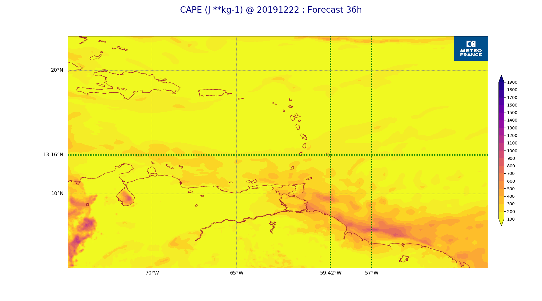
ARPEGE_map2D_CAPE_20191222_fct_36.png
2019-12-22 12:07
207K
ARPEGE_map2D_V_200hPa_20191222_fct_0.png
2019-12-22 11:55
207K
ARPEGE_map2D_U_850hPa_20191222_fct_36.png
2019-12-22 11:55
208K
ARPEGE_map2D_RH_500hPa_20191222_fct_48.png
2019-12-22 11:58
208K
ARPEGE_map2D_RH_500hPa_20191222_fct_0.png
2019-12-22 11:58
210K
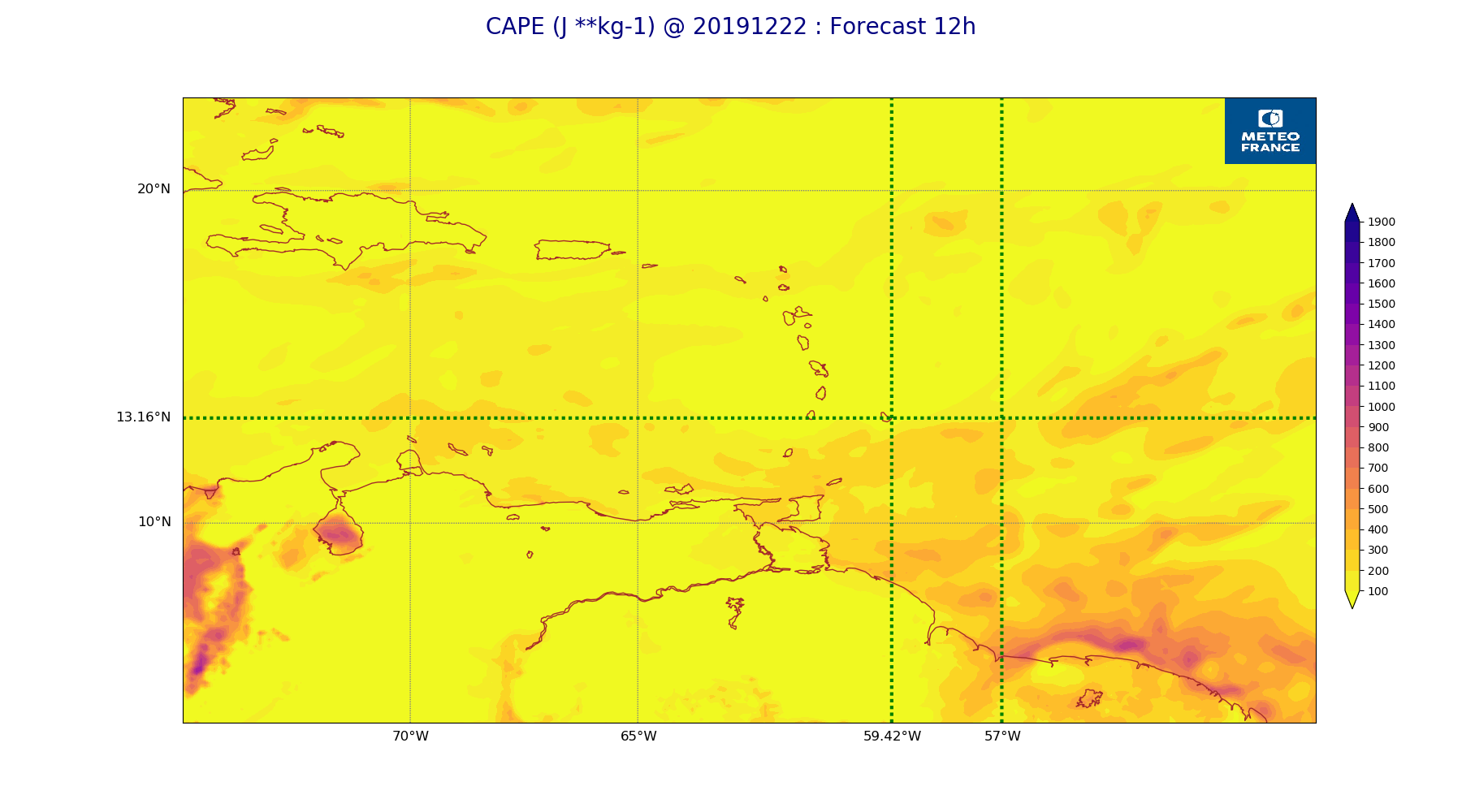
ARPEGE_map2D_CAPE_20191222_fct_12.png
2019-12-22 12:06
210K
ARPEGE_map2D_Cum_3h_RAIN_20191222_fct_24.png
2019-12-22 12:02
210K
ARPEGE_map2D_V_200hPa_20191222_fct_48.png
2019-12-22 11:56
211K
ARPEGE_map2D_High_CC_sup_450hPa_20191222_fct_24.png
2019-12-22 12:01
212K
ARPEGE_map2D_RH_500hPa_20191222_fct_36.png
2019-12-22 11:58
212K
ARPEGE_map2D_V_500hPa_20191222_fct_24.png
2019-12-22 11:55
213K
ARPEGE_map2D_V_500hPa_20191222_fct_0.png
2019-12-22 11:55
218K
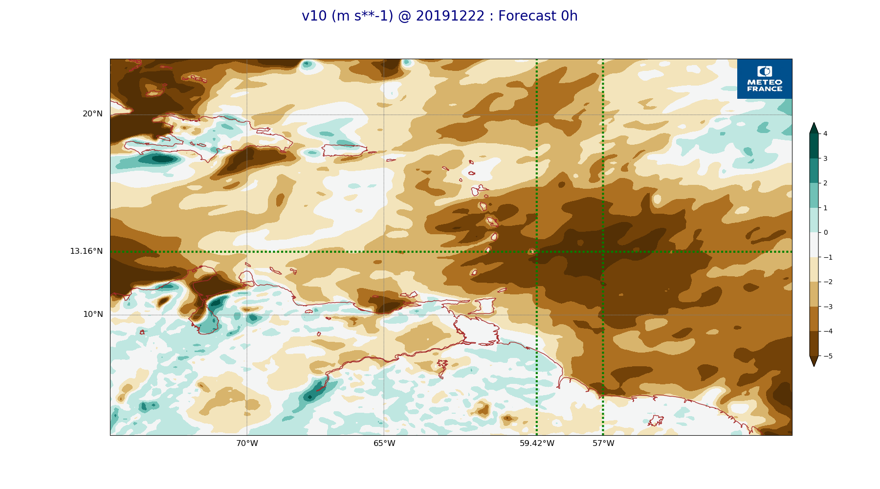
ARPEGE_map2D_v10_20191222_fct_0.png
2019-12-22 12:04
218K
ARPEGE_map2D_V_500hPa_20191222_fct_48.png
2019-12-22 11:56
219K
ARPEGE_map2D_V_500hPa_20191222_fct_36.png
2019-12-22 11:56
219K
ARPEGE_map2D_v10_20191222_fct_36.png
2019-12-22 12:04
221K
ARPEGE_map2D_v10_20191222_fct_48.png
2019-12-22 12:04
222K
ARPEGE_map2D_V_500hPa_20191222_fct_12.png
2019-12-22 11:55
223K
ARPEGE_map2D_v10_20191222_fct_24.png
2019-12-22 12:04
224K
ARPEGE_map2D_CAPE_20191222_fct_24.png
2019-12-22 12:06
224K
ARPEGE_map2D_v10_20191222_fct_12.png
2019-12-22 12:04
224K
ARPEGE_map2D_CAPE_20191222_fct_48.png
2019-12-22 12:07
225K
ARPEGE_map2D_PRW_20191222_fct_24.png
2019-12-22 12:02
230K
ARPEGE_map2D_PRW_20191222_fct_48.png
2019-12-22 12:03
231K
ARPEGE_map2D_u10_20191222_fct_24.png
2019-12-22 12:03
231K
ARPEGE_map2D_u10_20191222_fct_48.png
2019-12-22 12:03
231K
ARPEGE_map2D_u10_20191222_fct_0.png
2019-12-22 12:03
232K
ARPEGE_map2D_qv_925hPa_20191222_fct_12.png
2019-12-22 11:58
233K
ARPEGE_map2D_CAPE_20191222_fct_0.png
2019-12-22 12:06
233K
ARPEGE_map2D_qv_850hPa_20191222_fct_36.png
2019-12-22 11:58
233K
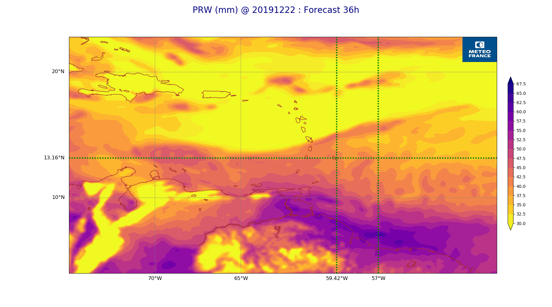
ARPEGE_map2D_PRW_20191222_fct_36.png
2019-12-22 12:03
233K
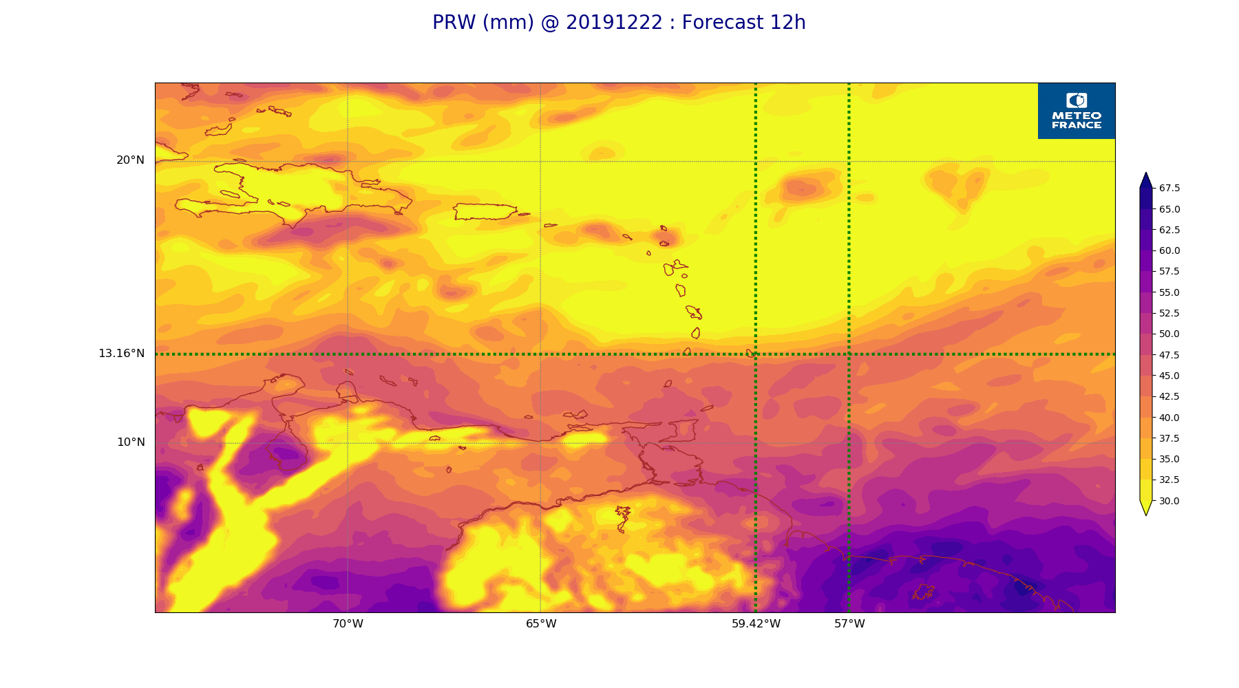
ARPEGE_map2D_PRW_20191222_fct_12.png
2019-12-22 12:02
234K
ARPEGE_map2D_u10_20191222_fct_12.png
2019-12-22 12:03
235K
ARPEGE_map2D_qv_850hPa_20191222_fct_48.png
2019-12-22 11:59
235K
ARPEGE_map2D_qv_925hPa_20191222_fct_24.png
2019-12-22 11:58
235K
ARPEGE_map2D_Vertical_velocity_500hPa_20191222_fct_48.png
2019-12-22 11:54
235K
ARPEGE_map2D_qv_925hPa_20191222_fct_48.png
2019-12-22 11:59
235K
ARPEGE_map2D_qv_850hPa_20191222_fct_12.png
2019-12-22 11:58
236K
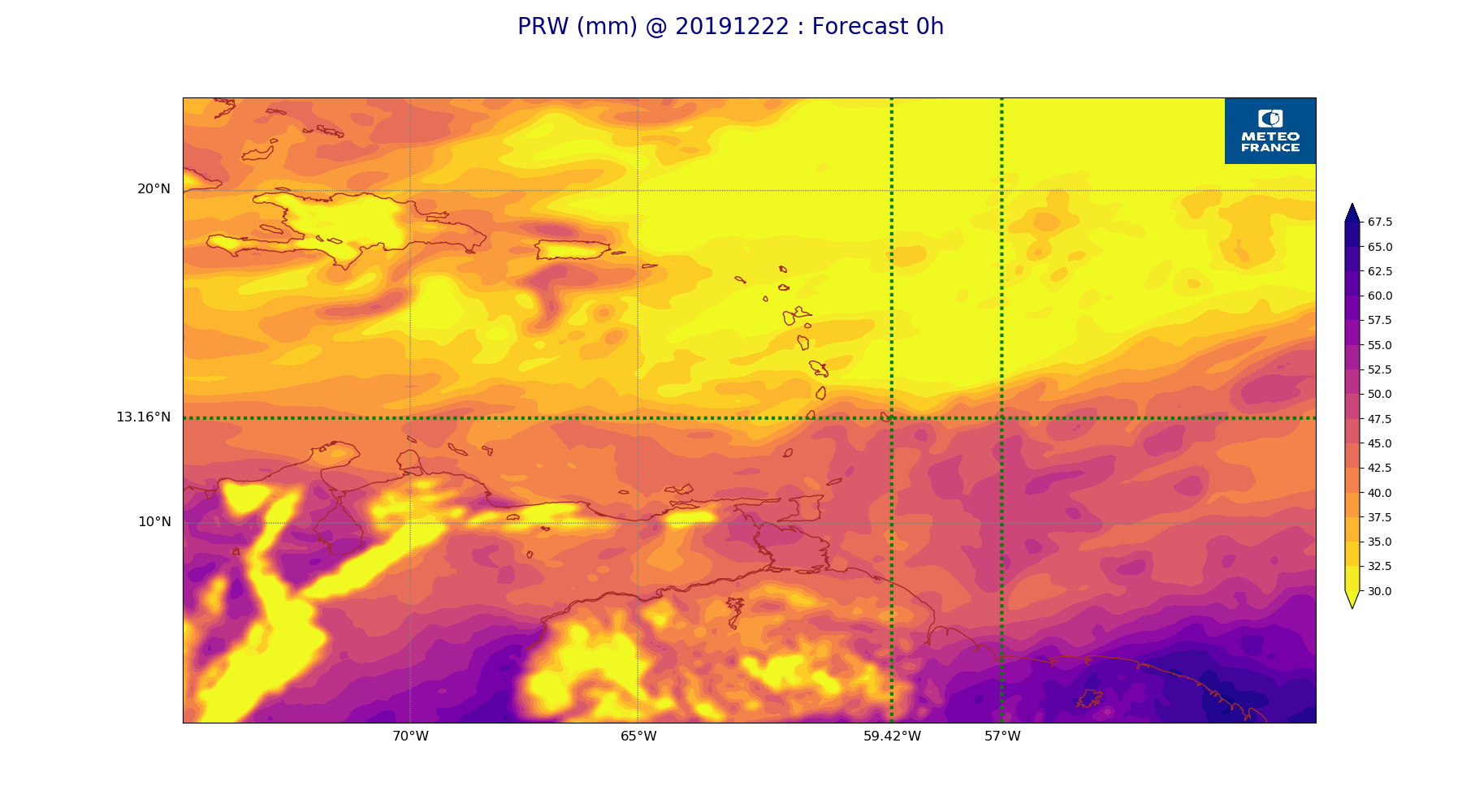
ARPEGE_map2D_PRW_20191222_fct_0.png
2019-12-22 12:02
236K
ARPEGE_map2D_u10_20191222_fct_36.png
2019-12-22 12:03
237K
ARPEGE_map2D_qv_925hPa_20191222_fct_36.png
2019-12-22 11:59
237K
ARPEGE_map2D_Vertical_velocity_500hPa_20191222_fct_24.png
2019-12-22 11:54
237K
ARPEGE_map2D_qv_850hPa_20191222_fct_24.png
2019-12-22 11:58
237K
ARPEGE_map2D_qv_850hPa_20191222_fct_0.png
2019-12-22 11:58
238K
ARPEGE_map2D_qv_925hPa_20191222_fct_0.png
2019-12-22 11:58
238K
ARPEGE_map2D_Cum_3h_RAIN_20191222_fct_48.png
2019-12-22 12:02
239K
ARPEGE_map2D_Vertical_velocity_500hPa_20191222_fct_0.png
2019-12-22 11:54
242K
ARPEGE_map2D_Vertical_velocity_500hPa_20191222_fct_12.png
2019-12-22 11:54
244K
ARPEGE_map2D_V_925hPa_20191222_fct_24.png
2019-12-22 11:55
247K
ARPEGE_map2D_RH_700hPa_20191222_fct_12.png
2019-12-22 11:58
247K
ARPEGE_map2D_Vertical_velocity_500hPa_20191222_fct_36.png
2019-12-22 11:54
248K
ARPEGE_map2D_RH_700hPa_20191222_fct_48.png
2019-12-22 11:58
248K
ARPEGE_map2D_RH_700hPa_20191222_fct_0.png
2019-12-22 11:58
249K
ARPEGE_map2D_V_925hPa_20191222_fct_36.png
2019-12-22 11:56
249K
ARPEGE_map2D_RH_700hPa_20191222_fct_24.png
2019-12-22 11:58
250K
ARPEGE_map2D_V_925hPa_20191222_fct_12.png
2019-12-22 11:55
250K
ARPEGE_map2D_V_925hPa_20191222_fct_0.png
2019-12-22 11:55
250K
ARPEGE_map2D_V_925hPa_20191222_fct_48.png
2019-12-22 11:56
251K
ARPEGE_map2D_RH_700hPa_20191222_fct_36.png
2019-12-22 11:58
252K
ARPEGE_map2D_Vertical_velocity_700hPa_20191222_fct_48.png
2019-12-22 11:54
257K
ARPEGE_map2D_V_850hPa_20191222_fct_0.png
2019-12-22 11:55
260K
ARPEGE_map2D_V_850hPa_20191222_fct_12.png
2019-12-22 11:55
261K
ARPEGE_map2D_V_850hPa_20191222_fct_36.png
2019-12-22 11:56
262K
ARPEGE_map2D_V_850hPa_20191222_fct_24.png
2019-12-22 11:55
263K
ARPEGE_map2D_V_850hPa_20191222_fct_48.png
2019-12-22 11:56
265K
ARPEGE_map2D_Vertical_velocity_700hPa_20191222_fct_24.png
2019-12-22 11:54
266K
ARPEGE_map2D_Vertical_velocity_700hPa_20191222_fct_36.png
2019-12-22 11:54
274K
ARPEGE_map2D_Vertical_velocity_700hPa_20191222_fct_12.png
2019-12-22 11:54
275K
ARPEGE_map2D_RH_850hPa_20191222_fct_36.png
2019-12-22 11:58
276K
ARPEGE_map2D_RH_850hPa_20191222_fct_48.png
2019-12-22 11:58
278K
ARPEGE_map2D_RH_850hPa_20191222_fct_24.png
2019-12-22 11:58
281K
ARPEGE_map2D_RH_850hPa_20191222_fct_12.png
2019-12-22 11:58
282K
ARPEGE_map2D_RH_850hPa_20191222_fct_0.png
2019-12-22 11:57
282K
ARPEGE_map2D_Vertical_velocity_700hPa_20191222_fct_0.png
2019-12-22 11:54
283K
ARPEGE_map2D_Fraction_cloud_cover_500hPa_20191222_fct_12.png
2019-12-22 11:56
289K
ARPEGE_map2D_Vertical_velocity_850hPa_20191222_fct_48.png
2019-12-22 11:54
291K
ARPEGE_map2D_Vertical_velocity_850hPa_20191222_fct_24.png
2019-12-22 11:54
295K
ARPEGE_map2D_Fraction_cloud_cover_500hPa_20191222_fct_24.png
2019-12-22 11:56
297K
ARPEGE_map2D_Vertical_velocity_850hPa_20191222_fct_36.png
2019-12-22 11:54
299K
ARPEGE_map2D_Fraction_cloud_cover_500hPa_20191222_fct_48.png
2019-12-22 11:56
302K
ARPEGE_map2D_Vertical_velocity_850hPa_20191222_fct_0.png
2019-12-22 11:54
305K
ARPEGE_map2D_Vertical_velocity_850hPa_20191222_fct_12.png
2019-12-22 11:54
306K
ARPEGE_map2D_Fraction_cloud_cover_200hPa_20191222_fct_12.png
2019-12-22 11:56
319K
ARPEGE_map2D_Fraction_cloud_cover_500hPa_20191222_fct_36.png
2019-12-22 11:56
319K
ARPEGE_map2D_Mid_CC_785_450hPa_20191222_fct_48.png
2019-12-22 12:01
340K
ARPEGE_map2D_Fraction_cloud_cover_200hPa_20191222_fct_24.png
2019-12-22 11:56
358K
ARPEGE_map2D_Mid_CC_785_450hPa_20191222_fct_24.png
2019-12-22 12:00
374K
ARPEGE_map2D_Fraction_cloud_cover_200hPa_20191222_fct_36.png
2019-12-22 11:56
375K
ARPEGE_map2D_Fraction_cloud_cover_200hPa_20191222_fct_48.png
2019-12-22 11:56
378K
ARPEGE_map2D_Mid_CC_785_450hPa_20191222_fct_36.png
2019-12-22 12:01
378K
ARPEGE_map2D_Low_CC_inf_785hPa_20191222_fct_48.png
2019-12-22 12:00
381K
ARPEGE_map2D_Low_CC_inf_785hPa_20191222_fct_36.png
2019-12-22 12:00
385K
ARPEGE_map2D_Low_CC_inf_785hPa_20191222_fct_12.png
2019-12-22 12:00
395K
ARPEGE_map2D_Low_CC_inf_785hPa_20191222_fct_24.png
2019-12-22 12:00
395K
ARPEGE_map2D_Mid_CC_785_450hPa_20191222_fct_12.png
2019-12-22 12:00
410K
ARPEGE_map2D_Fraction_cloud_cover_850hPa_20191222_fct_12.png
2019-12-22 11:56
575K
ARPEGE_map2D_Fraction_cloud_cover_850hPa_20191222_fct_36.png
2019-12-22 11:56
581K
ARPEGE_map2D_Fraction_cloud_cover_850hPa_20191222_fct_48.png
2019-12-22 11:56
599K
ARPEGE_map2D_Fraction_cloud_cover_925hPa_20191222_fct_36.png
2019-12-22 11:56
611K
ARPEGE_map2D_Fraction_cloud_cover_850hPa_20191222_fct_24.png
2019-12-22 11:56
627K
ARPEGE_map2D_Fraction_cloud_cover_925hPa_20191222_fct_24.png
2019-12-22 11:56
634K
ARPEGE_map2D_Fraction_cloud_cover_925hPa_20191222_fct_12.png
2019-12-22 11:56
635K
ARPEGE_map2D_Fraction_cloud_cover_925hPa_20191222_fct_48.png
2019-12-22 11:56
637K