Index of /aeris/eurec4a-data/FORECASTS/GLOBAL/ARPEGE/2019/20191223/map2D
Name
Last modified
Size
Parent Directory
-
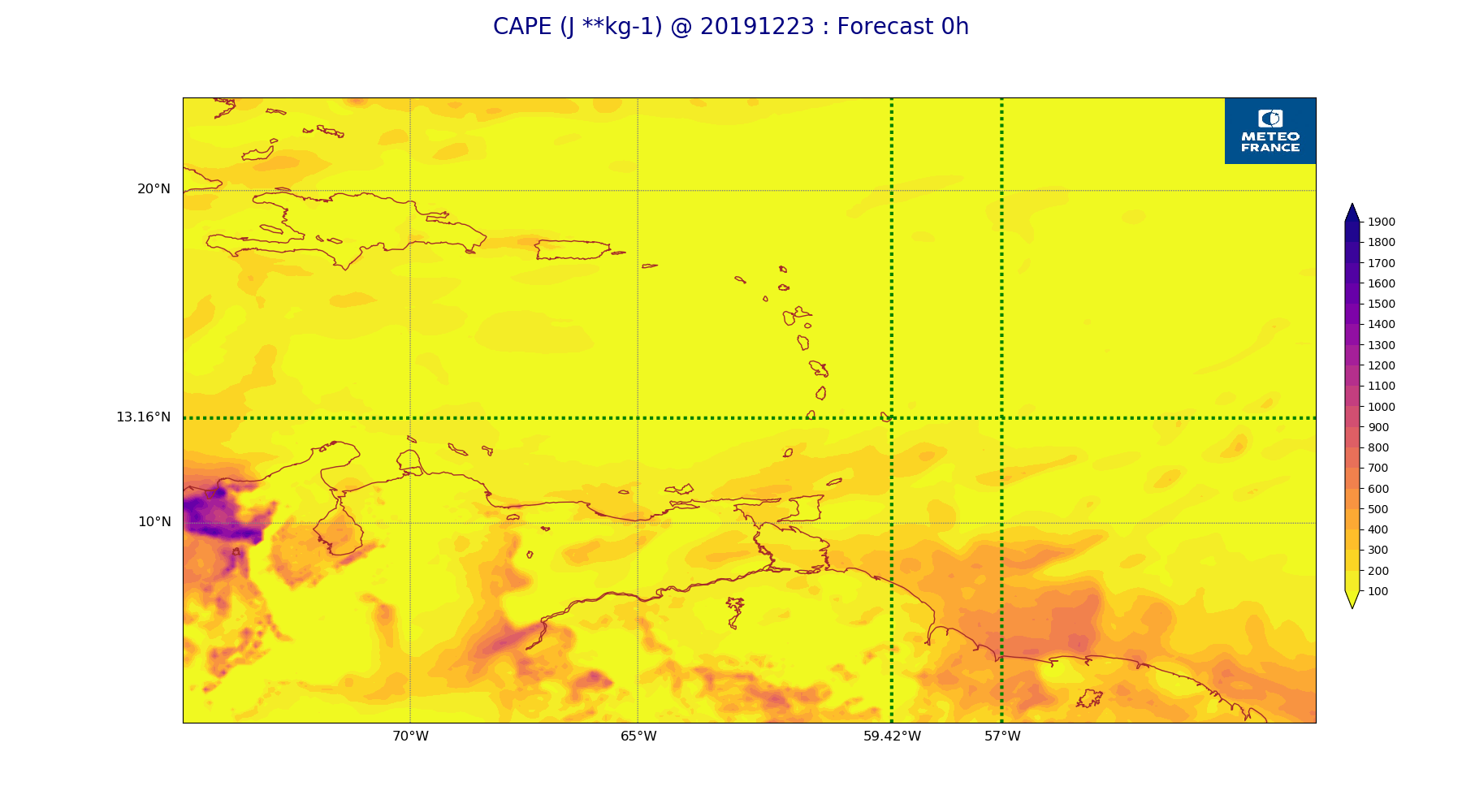
ARPEGE_map2D_CAPE_20191223_fct_0.png
2019-12-23 12:07
222K
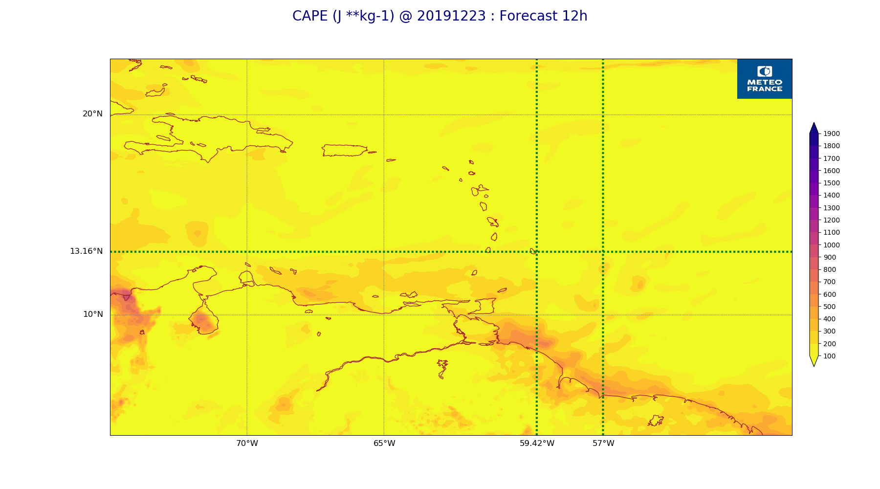
ARPEGE_map2D_CAPE_20191223_fct_12.png
2019-12-23 12:07
200K
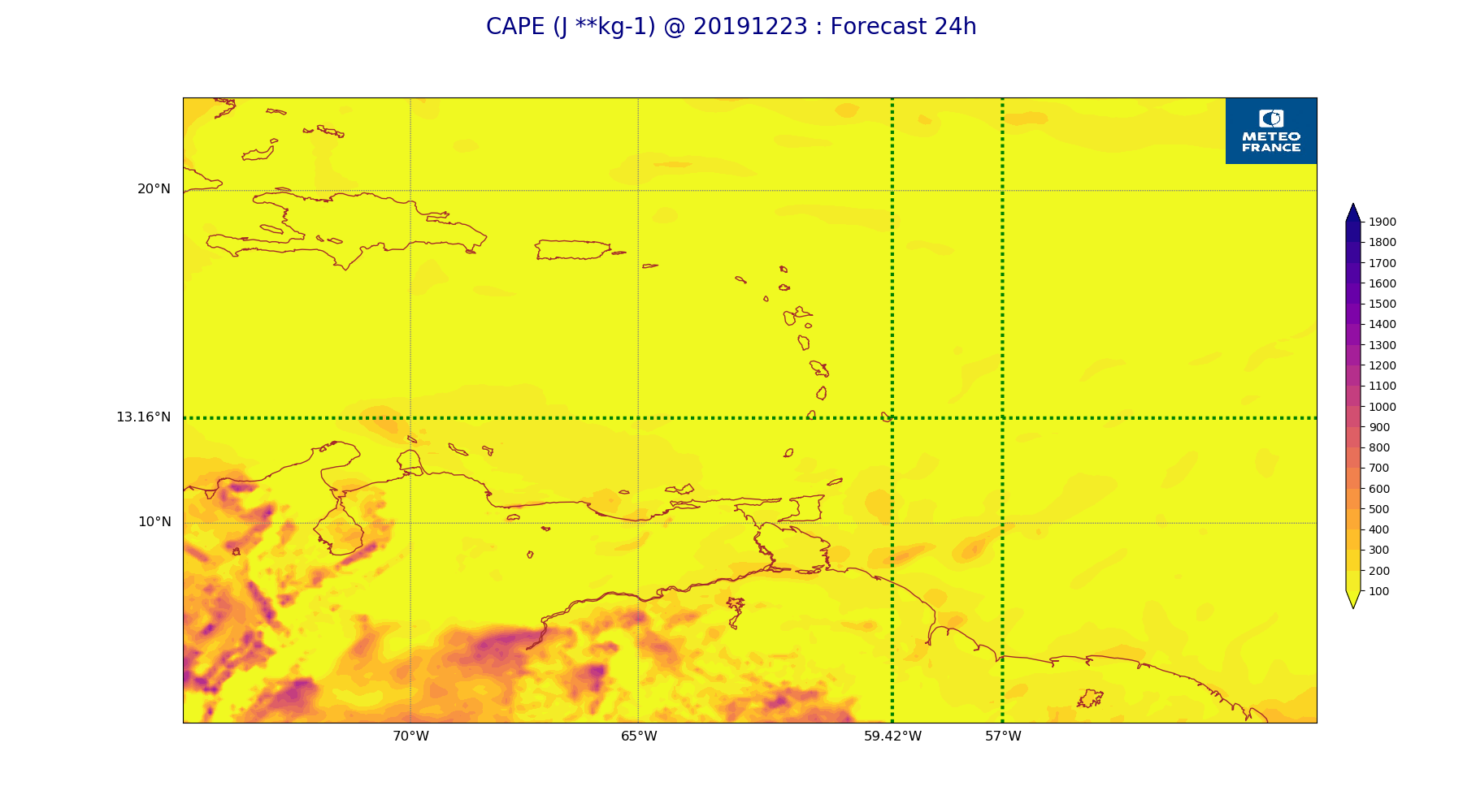
ARPEGE_map2D_CAPE_20191223_fct_24.png
2019-12-23 12:07
216K
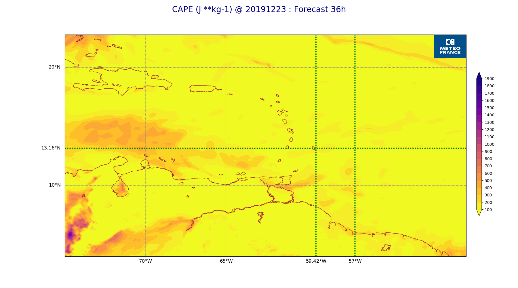
ARPEGE_map2D_CAPE_20191223_fct_36.png
2019-12-23 12:07
204K
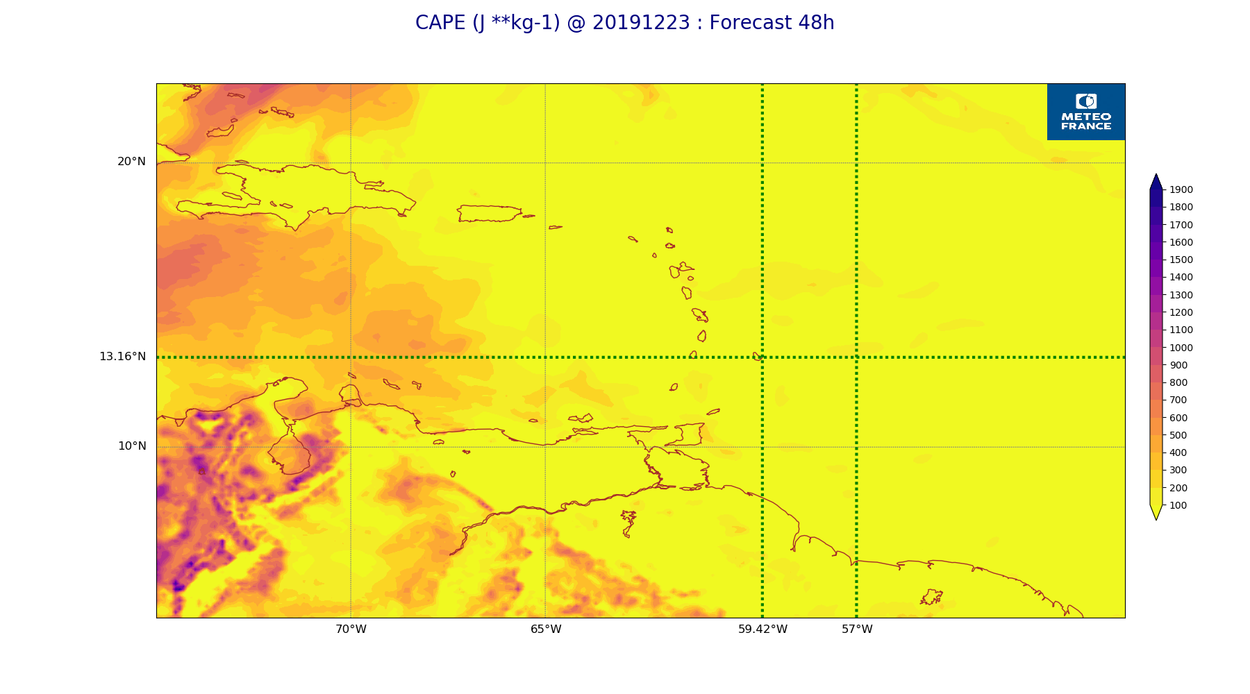
ARPEGE_map2D_CAPE_20191223_fct_48.png
2019-12-23 12:07
231K
ARPEGE_map2D_Cum_3h_RAIN_20191223_fct_0.png
2019-12-23 12:02
150K
ARPEGE_map2D_Cum_3h_RAIN_20191223_fct_12.png
2019-12-23 12:02
184K
ARPEGE_map2D_Cum_3h_RAIN_20191223_fct_24.png
2019-12-23 12:02
217K
ARPEGE_map2D_Cum_3h_RAIN_20191223_fct_36.png
2019-12-23 12:02
226K
ARPEGE_map2D_Cum_3h_RAIN_20191223_fct_48.png
2019-12-23 12:02
248K
ARPEGE_map2D_Fraction_cloud_cover_200hPa_20191223_fct_0.png
2019-12-23 11:56
161K
ARPEGE_map2D_Fraction_cloud_cover_200hPa_20191223_fct_12.png
2019-12-23 11:56
286K
ARPEGE_map2D_Fraction_cloud_cover_200hPa_20191223_fct_24.png
2019-12-23 11:56
341K
ARPEGE_map2D_Fraction_cloud_cover_200hPa_20191223_fct_36.png
2019-12-23 11:56
305K
ARPEGE_map2D_Fraction_cloud_cover_200hPa_20191223_fct_48.png
2019-12-23 11:56
347K
ARPEGE_map2D_Fraction_cloud_cover_500hPa_20191223_fct_0.png
2019-12-23 11:56
161K
ARPEGE_map2D_Fraction_cloud_cover_500hPa_20191223_fct_12.png
2019-12-23 11:56
308K
ARPEGE_map2D_Fraction_cloud_cover_500hPa_20191223_fct_24.png
2019-12-23 11:56
301K
ARPEGE_map2D_Fraction_cloud_cover_500hPa_20191223_fct_36.png
2019-12-23 11:56
288K
ARPEGE_map2D_Fraction_cloud_cover_500hPa_20191223_fct_48.png
2019-12-23 11:57
277K
ARPEGE_map2D_Fraction_cloud_cover_850hPa_20191223_fct_0.png
2019-12-23 11:56
161K
ARPEGE_map2D_Fraction_cloud_cover_850hPa_20191223_fct_12.png
2019-12-23 11:56
548K
ARPEGE_map2D_Fraction_cloud_cover_850hPa_20191223_fct_24.png
2019-12-23 11:56
554K
ARPEGE_map2D_Fraction_cloud_cover_850hPa_20191223_fct_36.png
2019-12-23 11:56
575K
ARPEGE_map2D_Fraction_cloud_cover_850hPa_20191223_fct_48.png
2019-12-23 11:57
610K
ARPEGE_map2D_Fraction_cloud_cover_925hPa_20191223_fct_0.png
2019-12-23 11:56
161K
ARPEGE_map2D_Fraction_cloud_cover_925hPa_20191223_fct_12.png
2019-12-23 11:56
597K
ARPEGE_map2D_Fraction_cloud_cover_925hPa_20191223_fct_24.png
2019-12-23 11:56
608K
ARPEGE_map2D_Fraction_cloud_cover_925hPa_20191223_fct_36.png
2019-12-23 11:56
608K
ARPEGE_map2D_Fraction_cloud_cover_925hPa_20191223_fct_48.png
2019-12-23 11:57
625K
ARPEGE_map2D_Geopotential_0_7_PVU_20191223_fct_0.png
2019-12-23 11:59
199K
ARPEGE_map2D_Geopotential_0_7_PVU_20191223_fct_12.png
2019-12-23 11:59
194K
ARPEGE_map2D_Geopotential_0_7_PVU_20191223_fct_24.png
2019-12-23 11:59
199K
ARPEGE_map2D_Geopotential_0_7_PVU_20191223_fct_36.png
2019-12-23 11:59
190K
ARPEGE_map2D_Geopotential_0_7_PVU_20191223_fct_48.png
2019-12-23 12:00
191K
ARPEGE_map2D_High_CC_sup_450hPa_20191223_fct_0.png
2019-12-23 12:01
167K
ARPEGE_map2D_High_CC_sup_450hPa_20191223_fct_12.png
2019-12-23 12:01
177K
ARPEGE_map2D_High_CC_sup_450hPa_20191223_fct_24.png
2019-12-23 12:01
188K
ARPEGE_map2D_High_CC_sup_450hPa_20191223_fct_36.png
2019-12-23 12:01
181K
ARPEGE_map2D_High_CC_sup_450hPa_20191223_fct_48.png
2019-12-23 12:02
197K
ARPEGE_map2D_IWP_20191223_fct_0.png
2019-12-23 12:05
150K
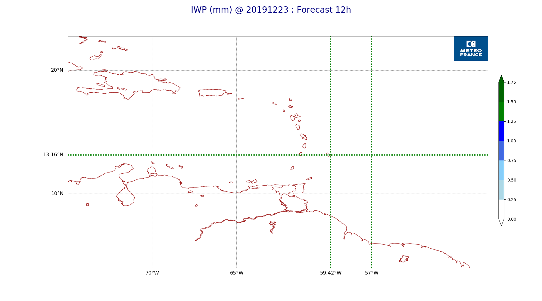
ARPEGE_map2D_IWP_20191223_fct_12.png
2019-12-23 12:05
151K
ARPEGE_map2D_IWP_20191223_fct_24.png
2019-12-23 12:06
151K
ARPEGE_map2D_IWP_20191223_fct_36.png
2019-12-23 12:06
151K
ARPEGE_map2D_IWP_20191223_fct_48.png
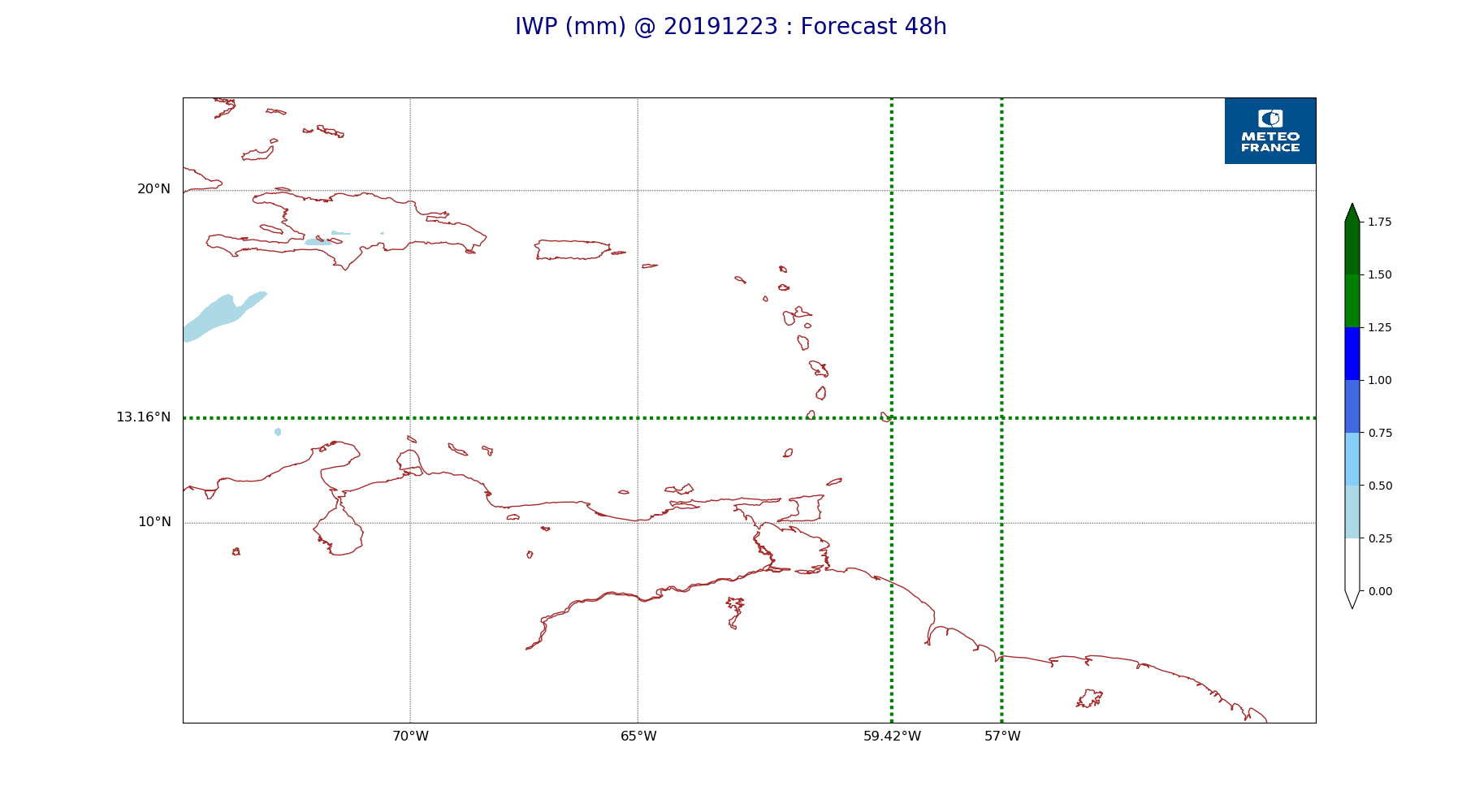
2019-12-23 12:06
152K
ARPEGE_map2D_LWP_20191223_fct_0.png
2019-12-23 12:05
140K
ARPEGE_map2D_LWP_20191223_fct_12.png
2019-12-23 12:05
141K
ARPEGE_map2D_LWP_20191223_fct_24.png
2019-12-23 12:05
141K
ARPEGE_map2D_LWP_20191223_fct_36.png
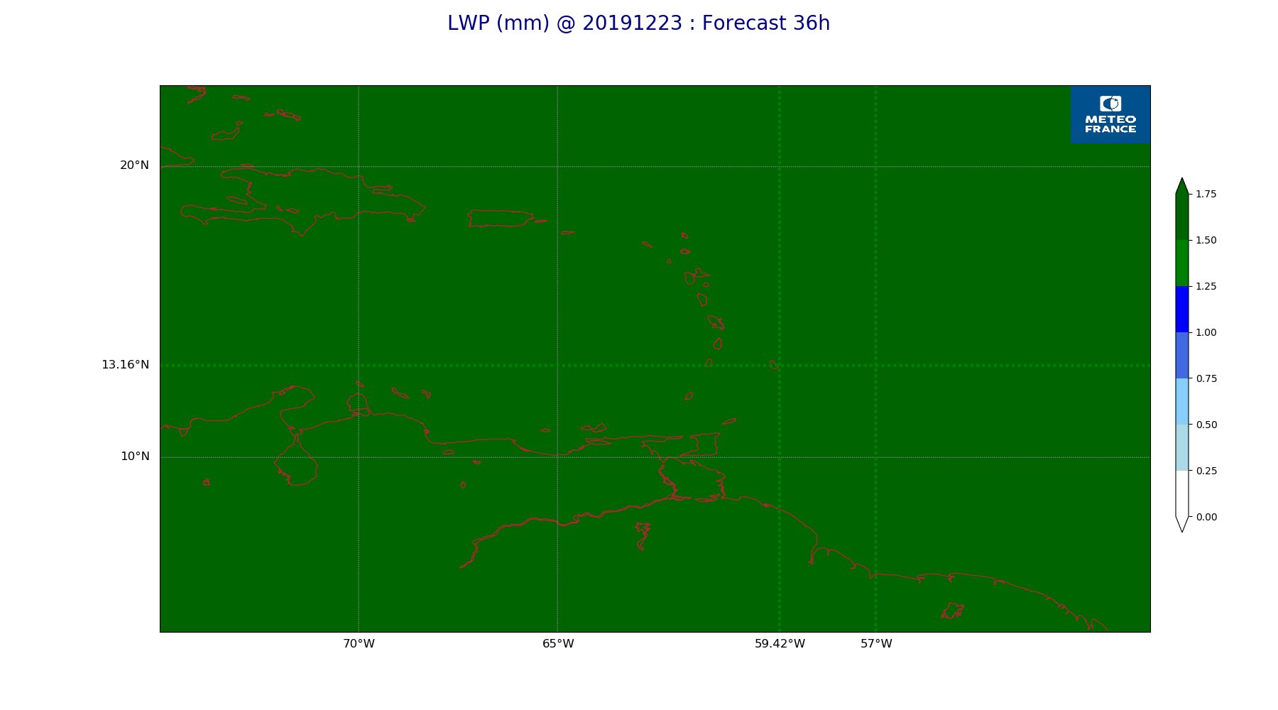
2019-12-23 12:05
141K
ARPEGE_map2D_LWP_20191223_fct_48.png
2019-12-23 12:05
141K
ARPEGE_map2D_Low_CC_inf_785hPa_20191223_fct_0.png
2019-12-23 12:00
167K
ARPEGE_map2D_Low_CC_inf_785hPa_20191223_fct_12.png
2019-12-23 12:00
387K
ARPEGE_map2D_Low_CC_inf_785hPa_20191223_fct_24.png
2019-12-23 12:00
373K
ARPEGE_map2D_Low_CC_inf_785hPa_20191223_fct_36.png
2019-12-23 12:00
408K
ARPEGE_map2D_Low_CC_inf_785hPa_20191223_fct_48.png
2019-12-23 12:00
383K
ARPEGE_map2D_Mid_CC_785_450hPa_20191223_fct_0.png
2019-12-23 12:00
168K
ARPEGE_map2D_Mid_CC_785_450hPa_20191223_fct_12.png
2019-12-23 12:01
397K
ARPEGE_map2D_Mid_CC_785_450hPa_20191223_fct_24.png
2019-12-23 12:01
308K
ARPEGE_map2D_Mid_CC_785_450hPa_20191223_fct_36.png
2019-12-23 12:01
396K
ARPEGE_map2D_Mid_CC_785_450hPa_20191223_fct_48.png
2019-12-23 12:01
351K
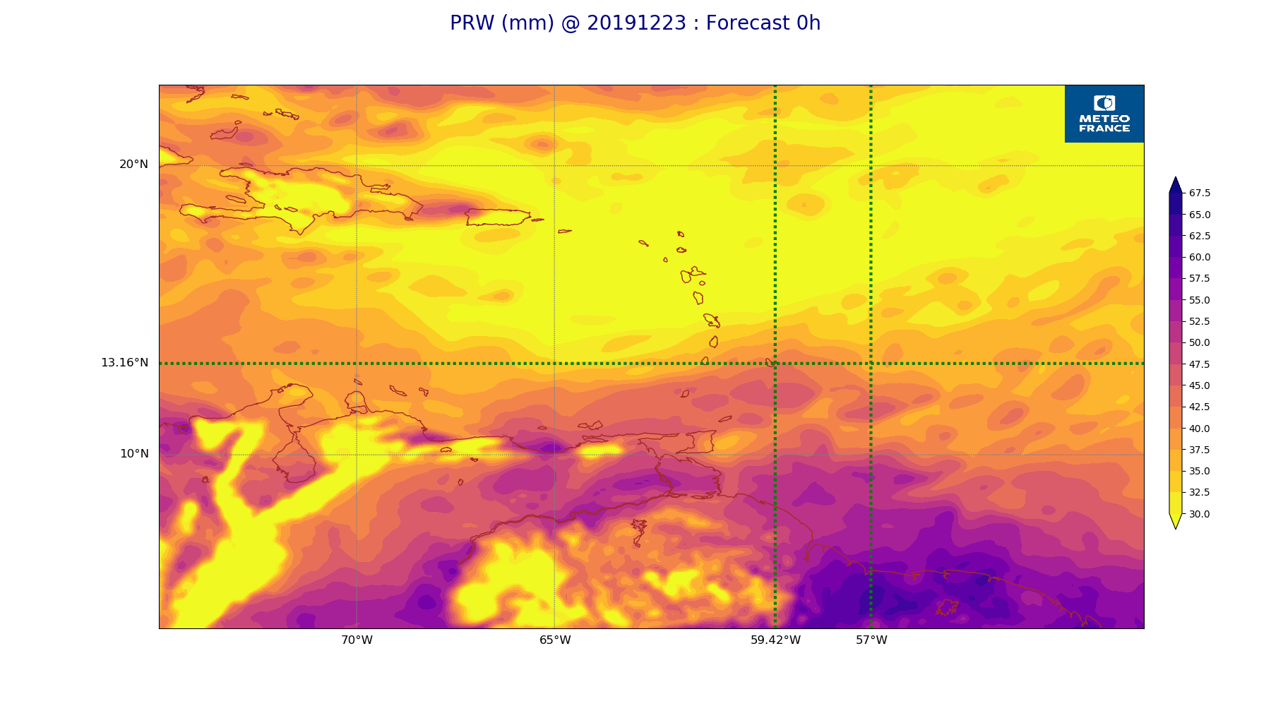
ARPEGE_map2D_PRW_20191223_fct_0.png
2019-12-23 12:02
234K
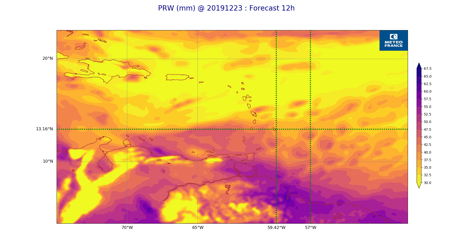
ARPEGE_map2D_PRW_20191223_fct_12.png
2019-12-23 12:03
235K
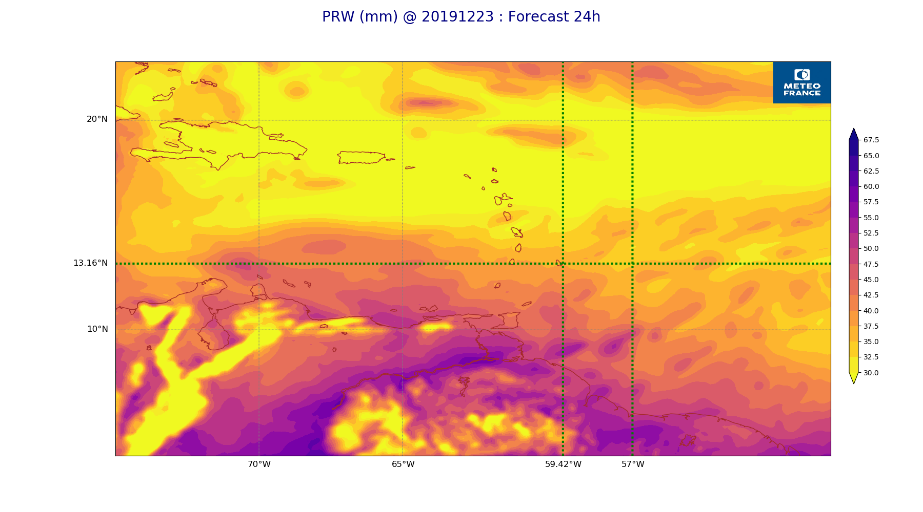
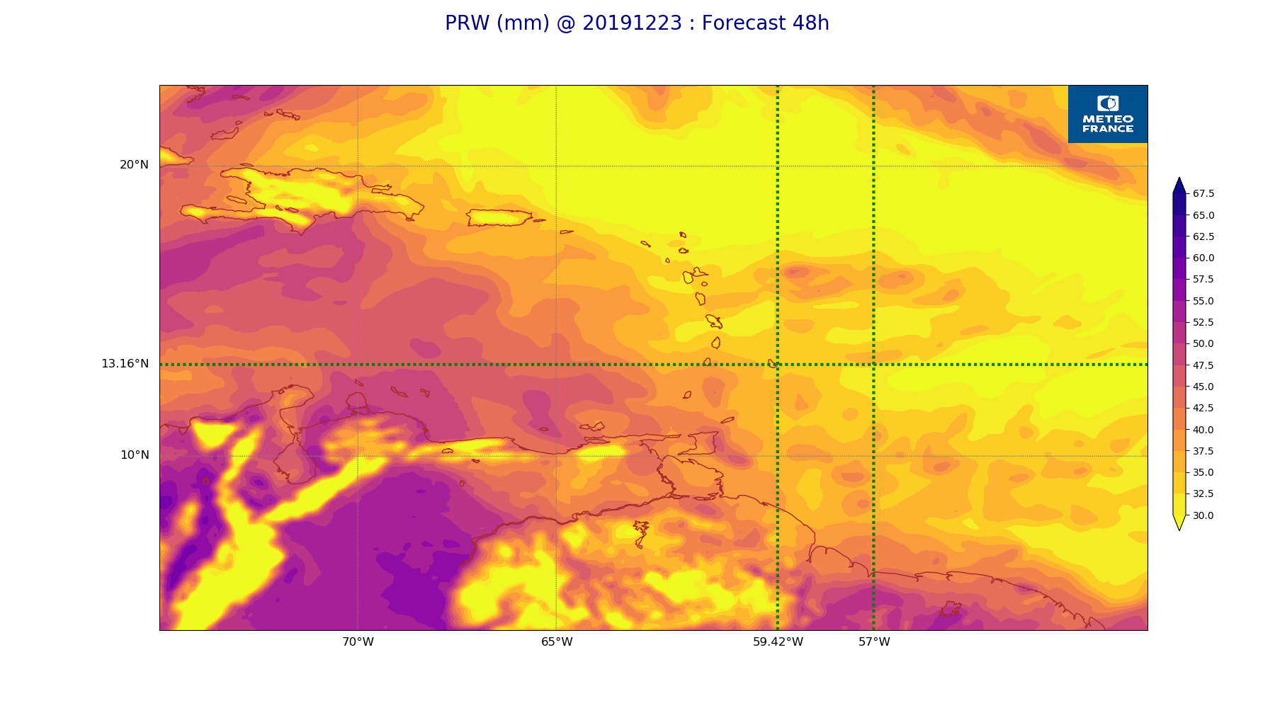
ARPEGE_map2D_PRW_20191223_fct_24.png
2019-12-23 12:03
230K
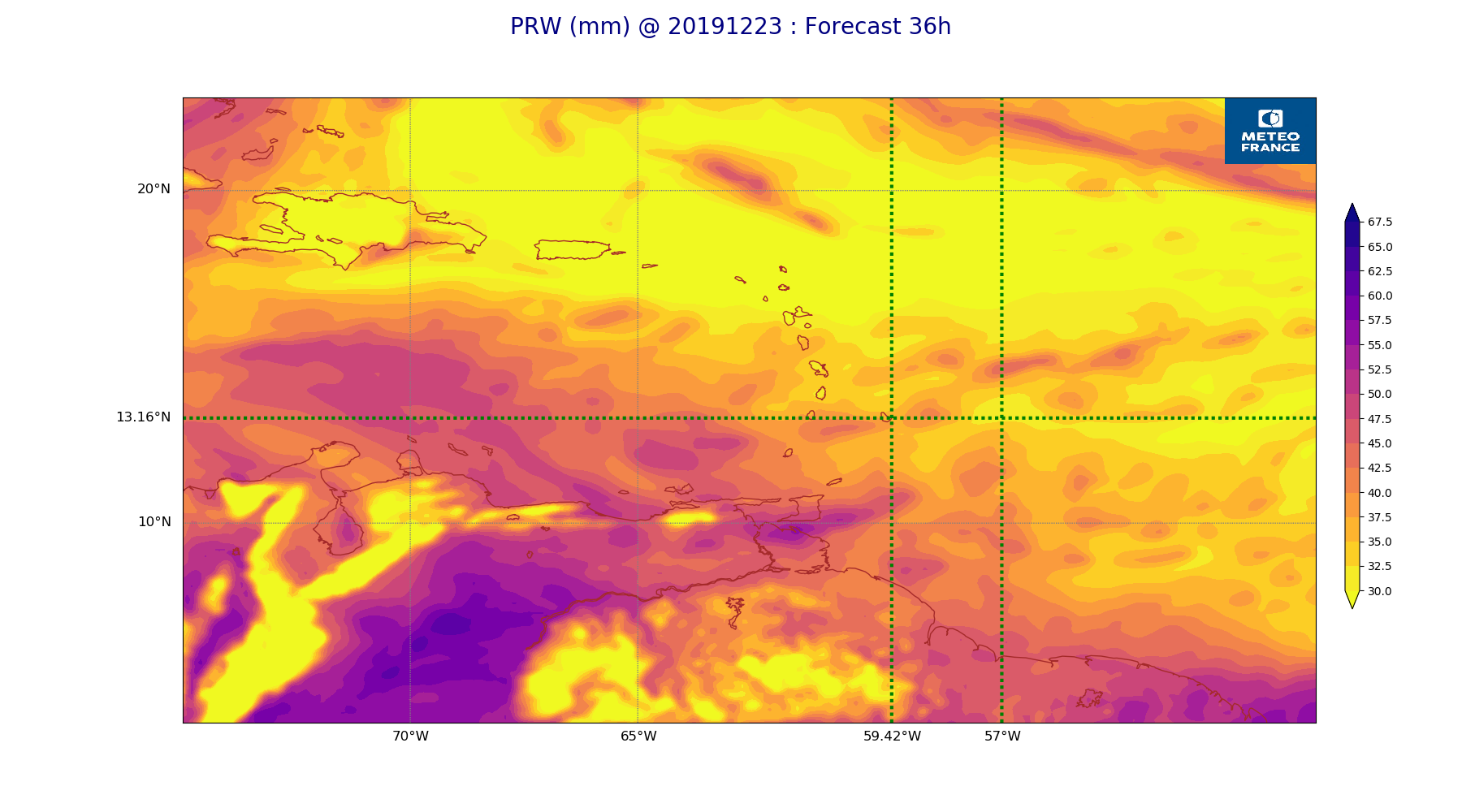
ARPEGE_map2D_PRW_20191223_fct_36.png
2019-12-23 12:03
242K
ARPEGE_map2D_PRW_20191223_fct_48.png
2019-12-23 12:03
237K
ARPEGE_map2D_Psfc_20191223_fct_0.png
2019-12-23 12:06
147K
ARPEGE_map2D_Psfc_20191223_fct_12.png
2019-12-23 12:06
147K
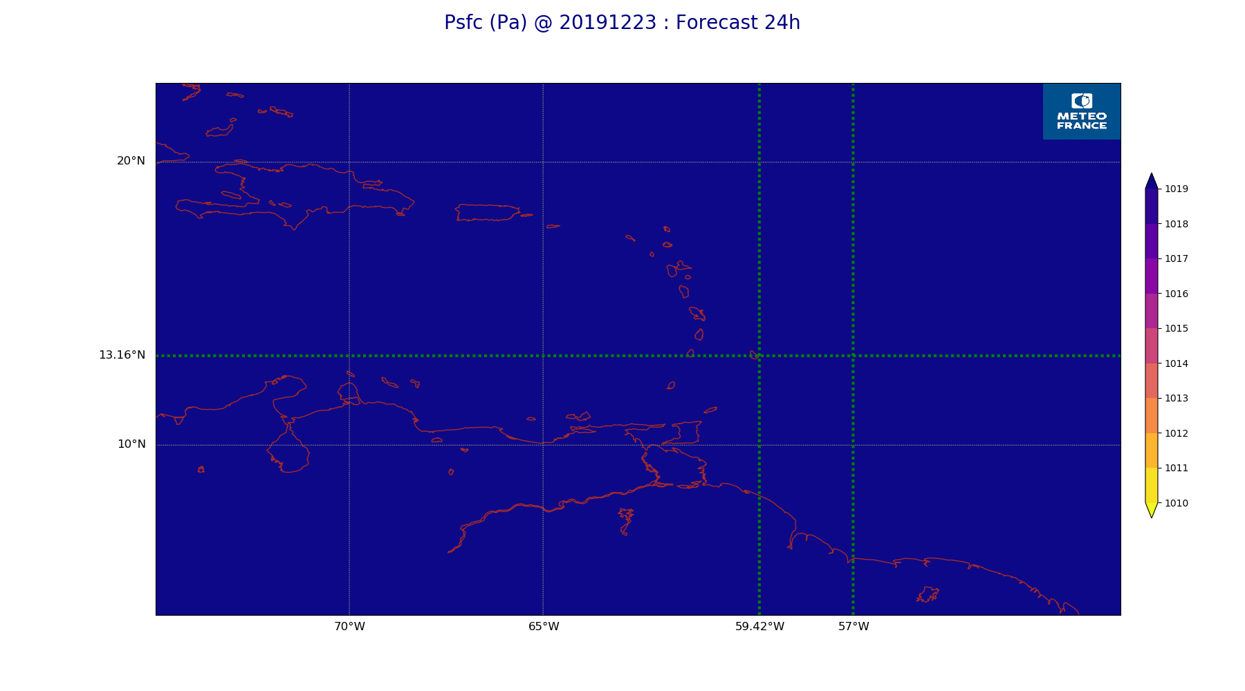
ARPEGE_map2D_Psfc_20191223_fct_24.png
2019-12-23 12:06
147K
ARPEGE_map2D_Psfc_20191223_fct_36.png
2019-12-23 12:06
148K
ARPEGE_map2D_Psfc_20191223_fct_48.png
2019-12-23 12:06
148K
ARPEGE_map2D_RH_500hPa_20191223_fct_0.png
2019-12-23 11:58
197K
ARPEGE_map2D_RH_500hPa_20191223_fct_12.png
2019-12-23 11:58
207K
ARPEGE_map2D_RH_500hPa_20191223_fct_24.png
2019-12-23 11:58
204K
ARPEGE_map2D_RH_500hPa_20191223_fct_36.png
2019-12-23 11:58
209K
ARPEGE_map2D_RH_500hPa_20191223_fct_48.png
2019-12-23 11:58
209K
ARPEGE_map2D_RH_700hPa_20191223_fct_0.png
2019-12-23 11:58
247K
ARPEGE_map2D_RH_700hPa_20191223_fct_12.png
2019-12-23 11:58
245K
ARPEGE_map2D_RH_700hPa_20191223_fct_24.png
2019-12-23 11:58
235K
ARPEGE_map2D_RH_700hPa_20191223_fct_36.png
2019-12-23 11:58
242K
ARPEGE_map2D_RH_700hPa_20191223_fct_48.png
2019-12-23 11:58
239K
ARPEGE_map2D_RH_850hPa_20191223_fct_0.png
2019-12-23 11:58
285K
ARPEGE_map2D_RH_850hPa_20191223_fct_12.png
2019-12-23 11:58
285K
ARPEGE_map2D_RH_850hPa_20191223_fct_24.png
2019-12-23 11:58
282K
ARPEGE_map2D_RH_850hPa_20191223_fct_36.png
2019-12-23 11:58
289K
ARPEGE_map2D_RH_850hPa_20191223_fct_48.png
2019-12-23 11:58
286K
ARPEGE_map2D_T_500hPa_20191223_fct_0.png
2019-12-23 11:57
166K
ARPEGE_map2D_T_500hPa_20191223_fct_12.png
2019-12-23 11:57
166K
ARPEGE_map2D_T_500hPa_20191223_fct_24.png
2019-12-23 11:57
164K
ARPEGE_map2D_T_500hPa_20191223_fct_36.png
2019-12-23 11:57
170K
ARPEGE_map2D_T_500hPa_20191223_fct_48.png
2019-12-23 11:58
162K
ARPEGE_map2D_T_850hPa_20191223_fct_0.png
2019-12-23 11:57
170K
ARPEGE_map2D_T_850hPa_20191223_fct_12.png
2019-12-23 11:57
177K
ARPEGE_map2D_T_850hPa_20191223_fct_24.png
2019-12-23 11:57
175K
ARPEGE_map2D_T_850hPa_20191223_fct_36.png
2019-12-23 11:57
179K
ARPEGE_map2D_T_850hPa_20191223_fct_48.png
2019-12-23 11:58
173K
ARPEGE_map2D_T_925hPa_20191223_fct_0.png
2019-12-23 11:57
180K
ARPEGE_map2D_T_925hPa_20191223_fct_12.png
2019-12-23 11:57
185K
ARPEGE_map2D_T_925hPa_20191223_fct_24.png
2019-12-23 11:57
181K
ARPEGE_map2D_T_925hPa_20191223_fct_36.png
2019-12-23 11:58
189K
ARPEGE_map2D_T_925hPa_20191223_fct_48.png
2019-12-23 11:58
183K
ARPEGE_map2D_U_200hPa_20191223_fct_0.png
2019-12-23 11:55
174K
ARPEGE_map2D_U_200hPa_20191223_fct_12.png
2019-12-23 11:55
173K
ARPEGE_map2D_U_200hPa_20191223_fct_24.png
2019-12-23 11:55
175K
ARPEGE_map2D_U_200hPa_20191223_fct_36.png
2019-12-23 11:55
176K
ARPEGE_map2D_U_200hPa_20191223_fct_48.png
2019-12-23 11:55
173K
ARPEGE_map2D_U_500hPa_20191223_fct_0.png
2019-12-23 11:55
188K
ARPEGE_map2D_U_500hPa_20191223_fct_12.png
2019-12-23 11:55
189K
ARPEGE_map2D_U_500hPa_20191223_fct_24.png
2019-12-23 11:55
188K
ARPEGE_map2D_U_500hPa_20191223_fct_36.png
2019-12-23 11:55
188K
ARPEGE_map2D_U_500hPa_20191223_fct_48.png
2019-12-23 11:55
186K
ARPEGE_map2D_U_850hPa_20191223_fct_0.png
2019-12-23 11:55
203K
ARPEGE_map2D_U_850hPa_20191223_fct_12.png
2019-12-23 11:55
207K
ARPEGE_map2D_U_850hPa_20191223_fct_24.png
2019-12-23 11:55
208K
ARPEGE_map2D_U_850hPa_20191223_fct_36.png
2019-12-23 11:55
217K
ARPEGE_map2D_U_850hPa_20191223_fct_48.png
2019-12-23 11:55
215K
ARPEGE_map2D_U_925hPa_20191223_fct_0.png
2019-12-23 11:55
200K
ARPEGE_map2D_U_925hPa_20191223_fct_12.png
2019-12-23 11:55
200K
ARPEGE_map2D_U_925hPa_20191223_fct_24.png
2019-12-23 11:55
203K
ARPEGE_map2D_U_925hPa_20191223_fct_36.png
2019-12-23 11:55
209K
ARPEGE_map2D_U_925hPa_20191223_fct_48.png
2019-12-23 11:55
208K
ARPEGE_map2D_V_200hPa_20191223_fct_0.png
2019-12-23 11:55
205K
ARPEGE_map2D_V_200hPa_20191223_fct_12.png
2019-12-23 11:55
206K
ARPEGE_map2D_V_200hPa_20191223_fct_24.png
2019-12-23 11:56
214K
ARPEGE_map2D_V_200hPa_20191223_fct_36.png
2019-12-23 11:56
212K
ARPEGE_map2D_V_200hPa_20191223_fct_48.png
2019-12-23 11:56
218K
ARPEGE_map2D_V_500hPa_20191223_fct_0.png
2019-12-23 11:55
215K
ARPEGE_map2D_V_500hPa_20191223_fct_12.png
2019-12-23 11:55
216K
ARPEGE_map2D_V_500hPa_20191223_fct_24.png
2019-12-23 11:56
219K
ARPEGE_map2D_V_500hPa_20191223_fct_36.png
2019-12-23 11:56
225K
ARPEGE_map2D_V_500hPa_20191223_fct_48.png
2019-12-23 11:56
222K
ARPEGE_map2D_V_850hPa_20191223_fct_0.png
2019-12-23 11:55
261K
ARPEGE_map2D_V_850hPa_20191223_fct_12.png
2019-12-23 11:55
261K
ARPEGE_map2D_V_850hPa_20191223_fct_24.png
2019-12-23 11:56
262K
ARPEGE_map2D_V_850hPa_20191223_fct_36.png
2019-12-23 11:56
273K
ARPEGE_map2D_V_850hPa_20191223_fct_48.png
2019-12-23 11:56
275K
ARPEGE_map2D_V_925hPa_20191223_fct_0.png
2019-12-23 11:55
248K
ARPEGE_map2D_V_925hPa_20191223_fct_12.png
2019-12-23 11:55
247K
ARPEGE_map2D_V_925hPa_20191223_fct_24.png
2019-12-23 11:56
251K
ARPEGE_map2D_V_925hPa_20191223_fct_36.png
2019-12-23 11:56
259K
ARPEGE_map2D_V_925hPa_20191223_fct_48.png
2019-12-23 11:56
256K
ARPEGE_map2D_Vertical_velocity_500hPa_20191223_fct_0.png
2019-12-23 11:54
233K
ARPEGE_map2D_Vertical_velocity_500hPa_20191223_fct_12.png
2019-12-23 11:54
236K
ARPEGE_map2D_Vertical_velocity_500hPa_20191223_fct_24.png
2019-12-23 11:54
232K
ARPEGE_map2D_Vertical_velocity_500hPa_20191223_fct_36.png
2019-12-23 11:54
247K
ARPEGE_map2D_Vertical_velocity_500hPa_20191223_fct_48.png
2019-12-23 11:54
239K
ARPEGE_map2D_Vertical_velocity_700hPa_20191223_fct_0.png
2019-12-23 11:54
264K
ARPEGE_map2D_Vertical_velocity_700hPa_20191223_fct_12.png
2019-12-23 11:54
263K
ARPEGE_map2D_Vertical_velocity_700hPa_20191223_fct_24.png
2019-12-23 11:54
254K
ARPEGE_map2D_Vertical_velocity_700hPa_20191223_fct_36.png
2019-12-23 11:54
276K
ARPEGE_map2D_Vertical_velocity_700hPa_20191223_fct_48.png
2019-12-23 11:54
257K
ARPEGE_map2D_Vertical_velocity_850hPa_20191223_fct_0.png
2019-12-23 11:54
290K
ARPEGE_map2D_Vertical_velocity_850hPa_20191223_fct_12.png
2019-12-23 11:54
292K
ARPEGE_map2D_Vertical_velocity_850hPa_20191223_fct_24.png
2019-12-23 11:54
289K
ARPEGE_map2D_Vertical_velocity_850hPa_20191223_fct_36.png
2019-12-23 11:54
303K
ARPEGE_map2D_Vertical_velocity_850hPa_20191223_fct_48.png
2019-12-23 11:55
291K
ARPEGE_map2D_qv_500hPa_20191223_fct_0.png
2019-12-23 11:58
158K
ARPEGE_map2D_qv_500hPa_20191223_fct_12.png
2019-12-23 11:58
157K
ARPEGE_map2D_qv_500hPa_20191223_fct_24.png
2019-12-23 11:59
158K
ARPEGE_map2D_qv_500hPa_20191223_fct_36.png
2019-12-23 11:59
158K
ARPEGE_map2D_qv_500hPa_20191223_fct_48.png
2019-12-23 11:59
158K
ARPEGE_map2D_qv_850hPa_20191223_fct_0.png
2019-12-23 11:58
243K
ARPEGE_map2D_qv_850hPa_20191223_fct_12.png
2019-12-23 11:58
242K
ARPEGE_map2D_qv_850hPa_20191223_fct_24.png
2019-12-23 11:59
242K
ARPEGE_map2D_qv_850hPa_20191223_fct_36.png
2019-12-23 11:59
244K
ARPEGE_map2D_qv_850hPa_20191223_fct_48.png
2019-12-23 11:59
245K
ARPEGE_map2D_qv_925hPa_20191223_fct_0.png
2019-12-23 11:58
243K
ARPEGE_map2D_qv_925hPa_20191223_fct_12.png
2019-12-23 11:59
236K
ARPEGE_map2D_qv_925hPa_20191223_fct_24.png
2019-12-23 11:59
236K
ARPEGE_map2D_qv_925hPa_20191223_fct_36.png
2019-12-23 11:59
250K
ARPEGE_map2D_qv_925hPa_20191223_fct_48.png
2019-12-23 11:59
237K
ARPEGE_map2D_theta_500hPa_20191223_fct_0.png
2019-12-23 11:57
162K
ARPEGE_map2D_theta_500hPa_20191223_fct_12.png
2019-12-23 11:57
168K
ARPEGE_map2D_theta_500hPa_20191223_fct_24.png
2019-12-23 11:57
161K
ARPEGE_map2D_theta_500hPa_20191223_fct_36.png
2019-12-23 11:57
166K
ARPEGE_map2D_theta_500hPa_20191223_fct_48.png
2019-12-23 11:57
161K
ARPEGE_map2D_theta_850hPa_20191223_fct_0.png
2019-12-23 11:57
169K
ARPEGE_map2D_theta_850hPa_20191223_fct_12.png
2019-12-23 11:57
177K
ARPEGE_map2D_theta_850hPa_20191223_fct_24.png
2019-12-23 11:57
171K
ARPEGE_map2D_theta_850hPa_20191223_fct_36.png
2019-12-23 11:57
179K
ARPEGE_map2D_theta_850hPa_20191223_fct_48.png
2019-12-23 11:57
171K
ARPEGE_map2D_theta_925hPa_20191223_fct_0.png
2019-12-23 11:57
177K
ARPEGE_map2D_theta_925hPa_20191223_fct_12.png
2019-12-23 11:57
186K
ARPEGE_map2D_theta_925hPa_20191223_fct_24.png
2019-12-23 11:57
182K
ARPEGE_map2D_theta_925hPa_20191223_fct_36.png
2019-12-23 11:57
189K
ARPEGE_map2D_theta_925hPa_20191223_fct_48.png
2019-12-23 11:57
179K
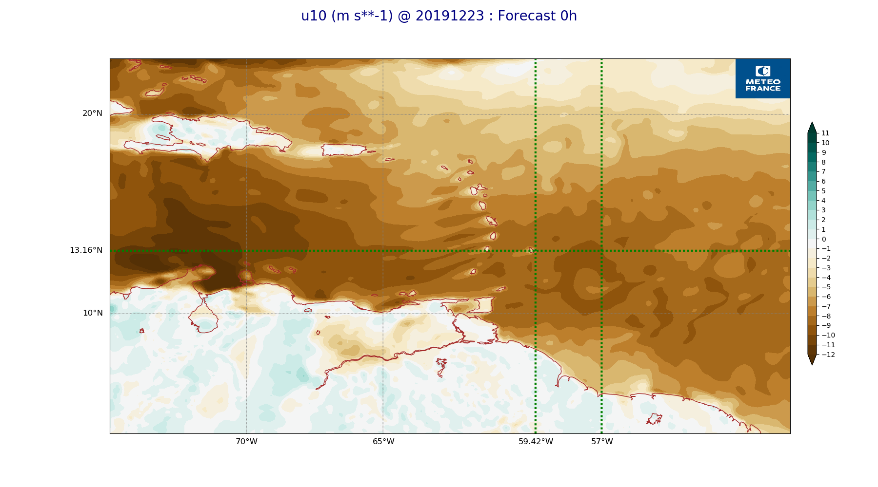
ARPEGE_map2D_u10_20191223_fct_0.png
2019-12-23 12:03
231K
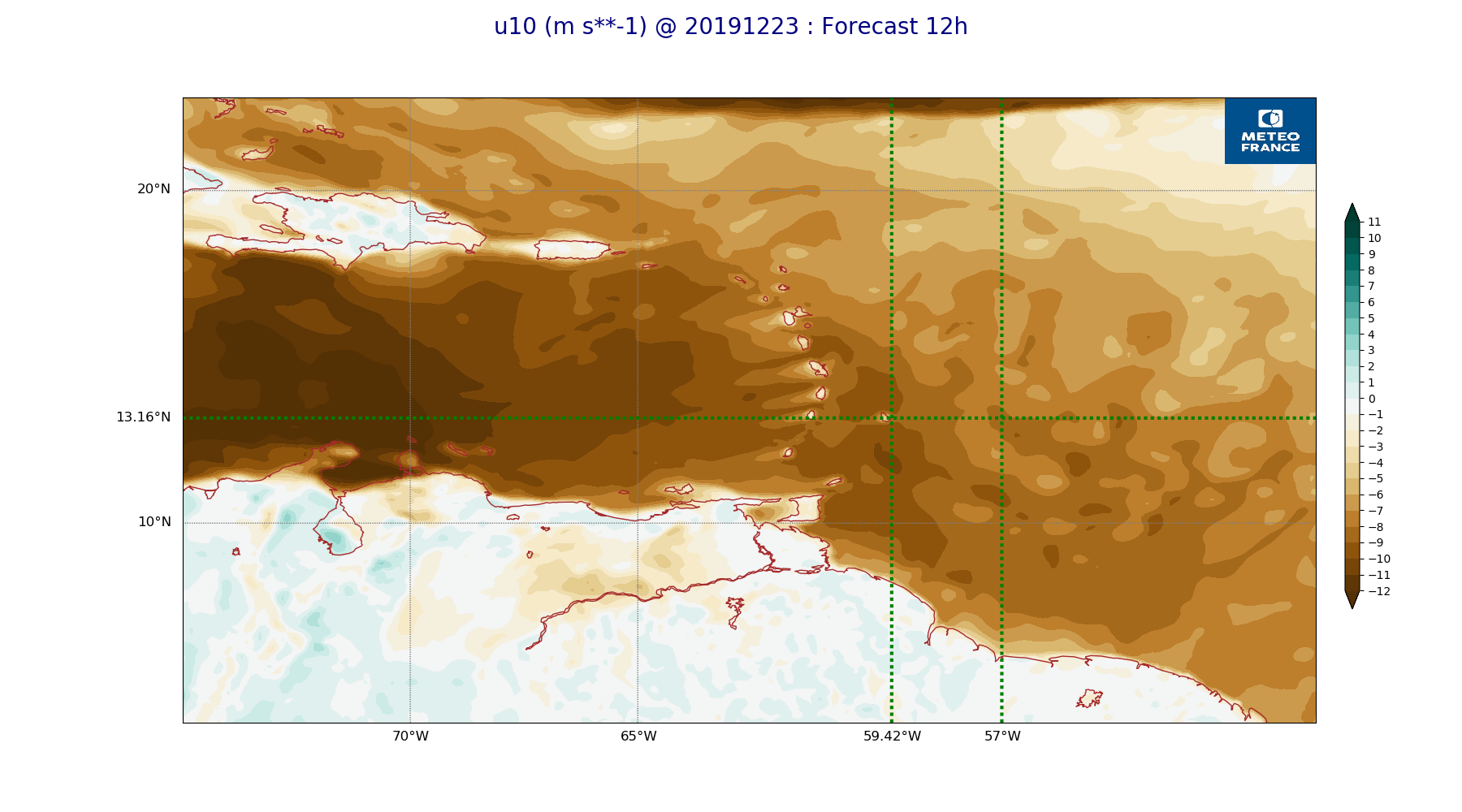
ARPEGE_map2D_u10_20191223_fct_12.png
2019-12-23 12:03
233K
ARPEGE_map2D_u10_20191223_fct_24.png
2019-12-23 12:03
233K
ARPEGE_map2D_u10_20191223_fct_36.png
2019-12-23 12:04
243K
ARPEGE_map2D_u10_20191223_fct_48.png
2019-12-23 12:04
239K
ARPEGE_map2D_v10_20191223_fct_0.png
2019-12-23 12:04
223K
ARPEGE_map2D_v10_20191223_fct_12.png
2019-12-23 12:04
219K
ARPEGE_map2D_v10_20191223_fct_24.png
2019-12-23 12:04
222K
ARPEGE_map2D_v10_20191223_fct_36.png
2019-12-23 12:04
216K
ARPEGE_map2D_v10_20191223_fct_48.png
2019-12-23 12:04
220K