Index of /aeris/eurec4a-data/FORECASTS/GLOBAL/ARPEGE/2019/20191225/map2D
Name
Last modified
Size
Parent Directory
-
ARPEGE_map2D_LWP_20191225_fct_0.png
2019-12-25 12:04
140K
ARPEGE_map2D_LWP_20191225_fct_12.png
2019-12-25 12:04
140K
ARPEGE_map2D_LWP_20191225_fct_24.png
2019-12-25 12:05
140K
ARPEGE_map2D_LWP_20191225_fct_48.png
2019-12-25 12:05
141K
ARPEGE_map2D_LWP_20191225_fct_36.png
2019-12-25 12:05
141K
ARPEGE_map2D_Psfc_20191225_fct_0.png
2019-12-25 12:06
147K
ARPEGE_map2D_Psfc_20191225_fct_12.png
2019-12-25 12:06
147K
ARPEGE_map2D_Psfc_20191225_fct_24.png
2019-12-25 12:06
147K
ARPEGE_map2D_Psfc_20191225_fct_48.png
2019-12-25 12:06
148K
ARPEGE_map2D_Psfc_20191225_fct_36.png
2019-12-25 12:06
148K
ARPEGE_map2D_Cum_3h_RAIN_20191225_fct_0.png
2019-12-25 12:02
150K
ARPEGE_map2D_IWP_20191225_fct_0.png
2019-12-25 12:05
150K
ARPEGE_map2D_IWP_20191225_fct_12.png
2019-12-25 12:05
150K
ARPEGE_map2D_IWP_20191225_fct_24.png
2019-12-25 12:05
151K
ARPEGE_map2D_IWP_20191225_fct_48.png
2019-12-25 12:05
151K
ARPEGE_map2D_IWP_20191225_fct_36.png
2019-12-25 12:05
152K
ARPEGE_map2D_qv_500hPa_20191225_fct_36.png
2019-12-25 11:59
158K
ARPEGE_map2D_qv_500hPa_20191225_fct_48.png
2019-12-25 11:59
158K
ARPEGE_map2D_theta_500hPa_20191225_fct_48.png
2019-12-25 11:57
158K
ARPEGE_map2D_qv_500hPa_20191225_fct_12.png
2019-12-25 11:58
158K
ARPEGE_map2D_qv_500hPa_20191225_fct_24.png
2019-12-25 11:58
158K
ARPEGE_map2D_qv_500hPa_20191225_fct_0.png
2019-12-25 11:58
159K
ARPEGE_map2D_theta_500hPa_20191225_fct_24.png
2019-12-25 11:57
159K
ARPEGE_map2D_T_500hPa_20191225_fct_48.png
2019-12-25 11:57
160K
ARPEGE_map2D_Fraction_cloud_cover_925hPa_20191225_fct_0.png
2019-12-25 11:56
161K
ARPEGE_map2D_Fraction_cloud_cover_500hPa_20191225_fct_0.png
2019-12-25 11:56
161K
ARPEGE_map2D_Fraction_cloud_cover_200hPa_20191225_fct_0.png
2019-12-25 11:56
161K
ARPEGE_map2D_Fraction_cloud_cover_850hPa_20191225_fct_0.png
2019-12-25 11:56
161K
ARPEGE_map2D_theta_500hPa_20191225_fct_0.png
2019-12-25 11:57
162K
ARPEGE_map2D_U_200hPa_20191225_fct_12.png
2019-12-25 11:55
162K
ARPEGE_map2D_theta_500hPa_20191225_fct_12.png
2019-12-25 11:57
162K
ARPEGE_map2D_T_500hPa_20191225_fct_0.png
2019-12-25 11:57
163K
ARPEGE_map2D_theta_500hPa_20191225_fct_36.png
2019-12-25 11:57
164K
ARPEGE_map2D_U_200hPa_20191225_fct_24.png
2019-12-25 11:55
164K
ARPEGE_map2D_U_200hPa_20191225_fct_36.png
2019-12-25 11:55
164K
ARPEGE_map2D_theta_850hPa_20191225_fct_24.png
2019-12-25 11:57
165K
ARPEGE_map2D_T_500hPa_20191225_fct_24.png
2019-12-25 11:57
165K
ARPEGE_map2D_T_500hPa_20191225_fct_36.png
2019-12-25 11:57
165K
ARPEGE_map2D_U_200hPa_20191225_fct_48.png
2019-12-25 11:55
165K
ARPEGE_map2D_theta_850hPa_20191225_fct_0.png
2019-12-25 11:57
166K
ARPEGE_map2D_Low_CC_inf_785hPa_20191225_fct_0.png
2019-12-25 12:00
167K
ARPEGE_map2D_theta_850hPa_20191225_fct_48.png
2019-12-25 11:57
167K
ARPEGE_map2D_T_850hPa_20191225_fct_24.png
2019-12-25 11:57
167K
ARPEGE_map2D_High_CC_sup_450hPa_20191225_fct_0.png
2019-12-25 12:01
167K
ARPEGE_map2D_Mid_CC_785_450hPa_20191225_fct_0.png
2019-12-25 12:00
167K
ARPEGE_map2D_T_850hPa_20191225_fct_48.png
2019-12-25 11:57
168K
ARPEGE_map2D_T_500hPa_20191225_fct_12.png
2019-12-25 11:57
170K
ARPEGE_map2D_U_200hPa_20191225_fct_0.png
2019-12-25 11:55
171K
ARPEGE_map2D_Cum_3h_RAIN_20191225_fct_24.png
2019-12-25 12:02
172K
ARPEGE_map2D_T_850hPa_20191225_fct_0.png
2019-12-25 11:57
173K
ARPEGE_map2D_theta_850hPa_20191225_fct_36.png
2019-12-25 11:57
176K
ARPEGE_map2D_theta_850hPa_20191225_fct_12.png
2019-12-25 11:57
177K
ARPEGE_map2D_theta_925hPa_20191225_fct_24.png
2019-12-25 11:57
178K
ARPEGE_map2D_T_850hPa_20191225_fct_36.png
2019-12-25 11:57
179K
ARPEGE_map2D_T_850hPa_20191225_fct_12.png
2019-12-25 11:57
180K
ARPEGE_map2D_theta_925hPa_20191225_fct_0.png
2019-12-25 11:57
181K
ARPEGE_map2D_T_925hPa_20191225_fct_0.png
2019-12-25 11:57
182K
ARPEGE_map2D_Cum_3h_RAIN_20191225_fct_48.png
2019-12-25 12:02
182K
ARPEGE_map2D_T_925hPa_20191225_fct_48.png
2019-12-25 11:58
182K
ARPEGE_map2D_theta_925hPa_20191225_fct_48.png
2019-12-25 11:57
183K
ARPEGE_map2D_T_925hPa_20191225_fct_24.png
2019-12-25 11:57
184K
ARPEGE_map2D_Geopotential_0_7_PVU_20191225_fct_12.png
2019-12-25 11:59
186K
ARPEGE_map2D_U_500hPa_20191225_fct_0.png
2019-12-25 11:55
186K
ARPEGE_map2D_High_CC_sup_450hPa_20191225_fct_24.png
2019-12-25 12:01
187K
ARPEGE_map2D_U_500hPa_20191225_fct_12.png
2019-12-25 11:55
188K
ARPEGE_map2D_T_925hPa_20191225_fct_12.png
2019-12-25 11:57
188K
ARPEGE_map2D_U_500hPa_20191225_fct_24.png
2019-12-25 11:55
189K
ARPEGE_map2D_High_CC_sup_450hPa_20191225_fct_12.png
2019-12-25 12:01
190K
ARPEGE_map2D_theta_925hPa_20191225_fct_12.png
2019-12-25 11:57
190K
ARPEGE_map2D_V_200hPa_20191225_fct_48.png
2019-12-25 11:56
190K
ARPEGE_map2D_T_925hPa_20191225_fct_36.png
2019-12-25 11:57
190K
ARPEGE_map2D_U_500hPa_20191225_fct_48.png
2019-12-25 11:55
190K
ARPEGE_map2D_theta_925hPa_20191225_fct_36.png
2019-12-25 11:57
191K
ARPEGE_map2D_U_500hPa_20191225_fct_36.png
2019-12-25 11:55
192K
ARPEGE_map2D_Geopotential_0_7_PVU_20191225_fct_0.png
2019-12-25 11:59
193K
ARPEGE_map2D_High_CC_sup_450hPa_20191225_fct_36.png
2019-12-25 12:01
195K
ARPEGE_map2D_Geopotential_0_7_PVU_20191225_fct_24.png
2019-12-25 11:59
196K
ARPEGE_map2D_High_CC_sup_450hPa_20191225_fct_48.png
2019-12-25 12:01
197K
ARPEGE_map2D_Geopotential_0_7_PVU_20191225_fct_36.png
2019-12-25 11:59
198K
ARPEGE_map2D_V_200hPa_20191225_fct_24.png
2019-12-25 11:55
200K
ARPEGE_map2D_V_200hPa_20191225_fct_36.png
2019-12-25 11:56
201K
ARPEGE_map2D_Geopotential_0_7_PVU_20191225_fct_48.png
2019-12-25 11:59
204K
ARPEGE_map2D_U_925hPa_20191225_fct_24.png
2019-12-25 11:55
206K
ARPEGE_map2D_U_925hPa_20191225_fct_36.png
2019-12-25 11:55
207K
ARPEGE_map2D_Cum_3h_RAIN_20191225_fct_12.png
2019-12-25 12:02
208K
ARPEGE_map2D_U_925hPa_20191225_fct_48.png
2019-12-25 11:55
208K
ARPEGE_map2D_U_925hPa_20191225_fct_0.png
2019-12-25 11:55
209K
ARPEGE_map2D_U_925hPa_20191225_fct_12.png
2019-12-25 11:55
209K
ARPEGE_map2D_V_200hPa_20191225_fct_12.png
2019-12-25 11:55
209K
ARPEGE_map2D_v10_20191225_fct_12.png
2019-12-25 12:04
209K
ARPEGE_map2D_U_850hPa_20191225_fct_48.png
2019-12-25 11:55
209K
ARPEGE_map2D_U_850hPa_20191225_fct_24.png
2019-12-25 11:55
209K
ARPEGE_map2D_RH_500hPa_20191225_fct_48.png
2019-12-25 11:58
211K
ARPEGE_map2D_V_200hPa_20191225_fct_0.png
2019-12-25 11:55
211K
ARPEGE_map2D_U_850hPa_20191225_fct_0.png
2019-12-25 11:55
212K
ARPEGE_map2D_v10_20191225_fct_24.png
2019-12-25 12:04
212K
ARPEGE_map2D_U_850hPa_20191225_fct_12.png
2019-12-25 11:55
212K
ARPEGE_map2D_RH_500hPa_20191225_fct_24.png
2019-12-25 11:58
213K
ARPEGE_map2D_RH_500hPa_20191225_fct_36.png
2019-12-25 11:58
213K
ARPEGE_map2D_RH_500hPa_20191225_fct_12.png
2019-12-25 11:58
215K
ARPEGE_map2D_U_850hPa_20191225_fct_36.png
2019-12-25 11:55
215K
ARPEGE_map2D_V_500hPa_20191225_fct_24.png
2019-12-25 11:56
215K
ARPEGE_map2D_CAPE_20191225_fct_36.png
2019-12-25 12:07
215K
ARPEGE_map2D_RH_500hPa_20191225_fct_0.png
2019-12-25 11:58
215K
ARPEGE_map2D_v10_20191225_fct_36.png
2019-12-25 12:04
215K
ARPEGE_map2D_V_500hPa_20191225_fct_48.png
2019-12-25 11:56
217K
ARPEGE_map2D_V_500hPa_20191225_fct_36.png
2019-12-25 11:56
217K
ARPEGE_map2D_v10_20191225_fct_0.png
2019-12-25 12:04
217K
ARPEGE_map2D_CAPE_20191225_fct_12.png
2019-12-25 12:06
217K
ARPEGE_map2D_V_500hPa_20191225_fct_12.png
2019-12-25 11:55
223K
ARPEGE_map2D_V_500hPa_20191225_fct_0.png
2019-12-25 11:55
223K
ARPEGE_map2D_v10_20191225_fct_48.png
2019-12-25 12:04
224K
ARPEGE_map2D_RH_700hPa_20191225_fct_24.png
2019-12-25 11:58
227K
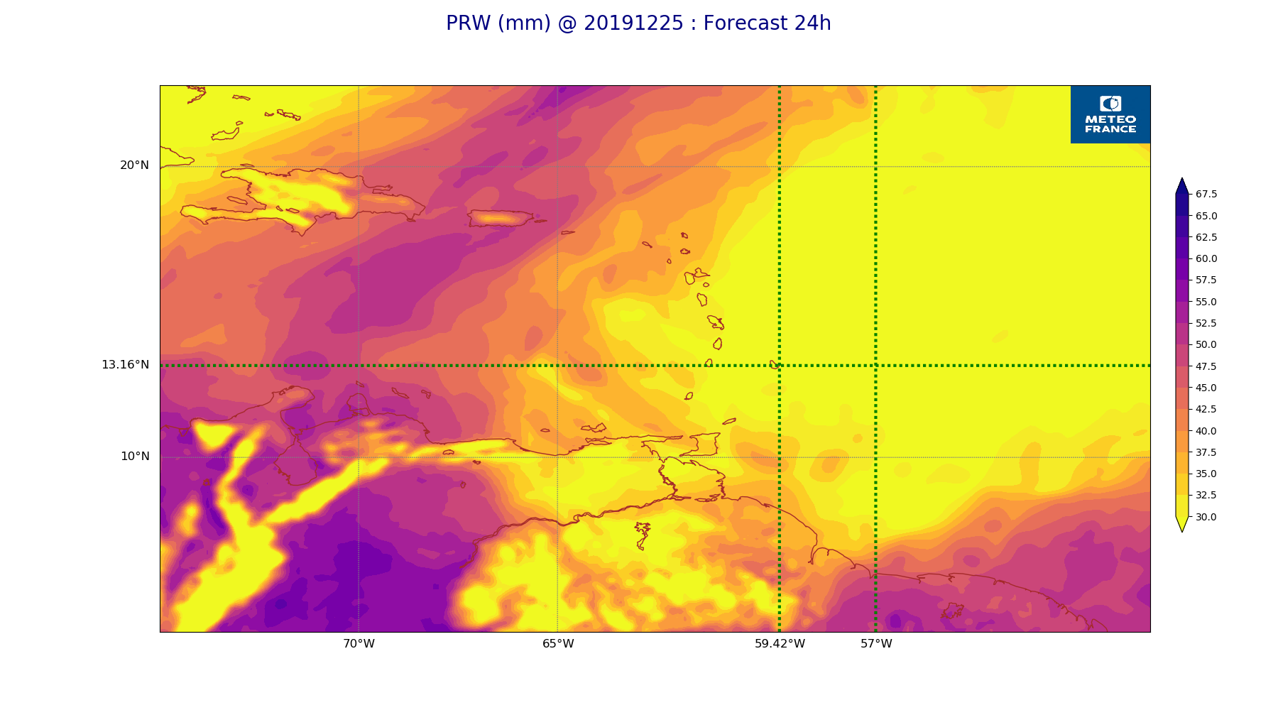
ARPEGE_map2D_PRW_20191225_fct_24.png
2019-12-25 12:03
227K
ARPEGE_map2D_RH_700hPa_20191225_fct_36.png
2019-12-25 11:58
228K
ARPEGE_map2D_RH_700hPa_20191225_fct_0.png
2019-12-25 11:58
230K
ARPEGE_map2D_Vertical_velocity_500hPa_20191225_fct_48.png
2019-12-25 11:54
231K
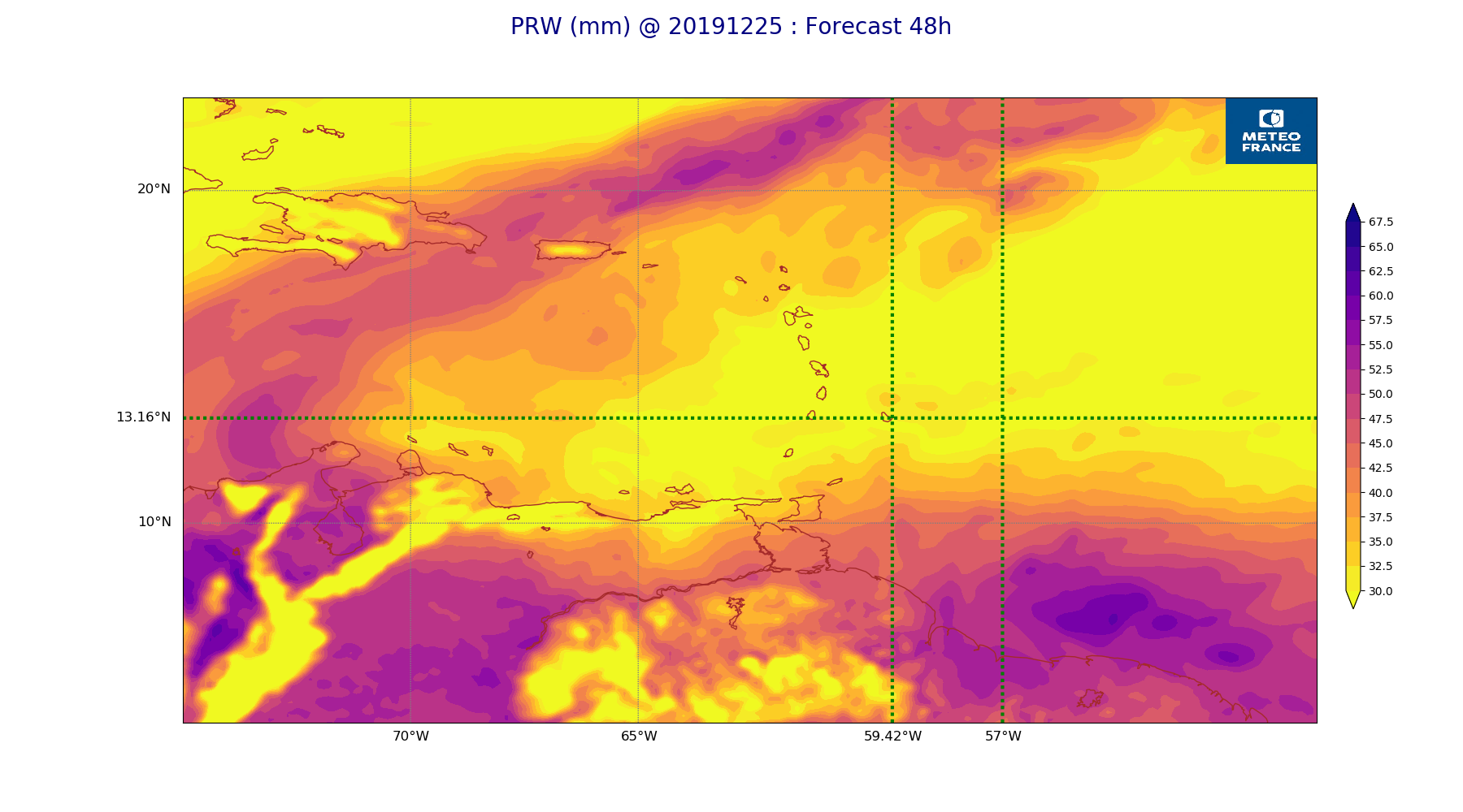
ARPEGE_map2D_PRW_20191225_fct_48.png
2019-12-25 12:03
232K
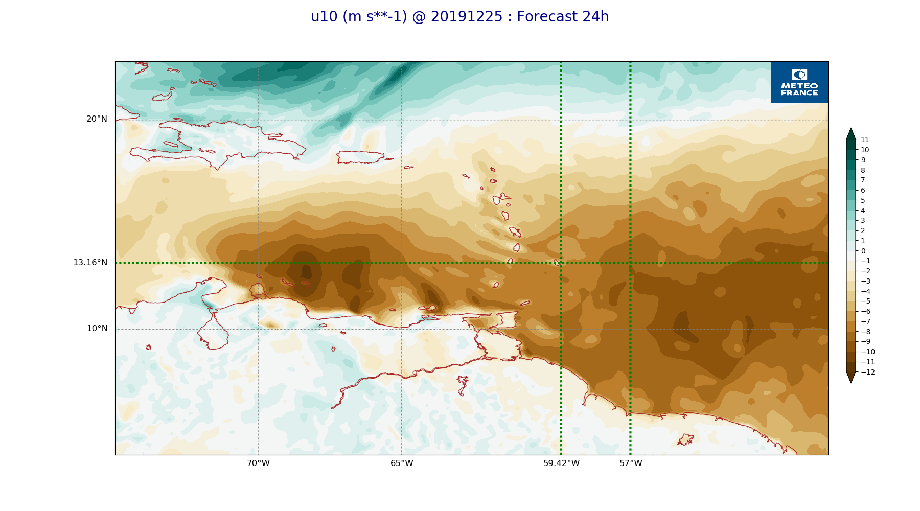
ARPEGE_map2D_u10_20191225_fct_24.png
2019-12-25 12:03
232K
ARPEGE_map2D_RH_700hPa_20191225_fct_12.png
2019-12-25 11:58
233K
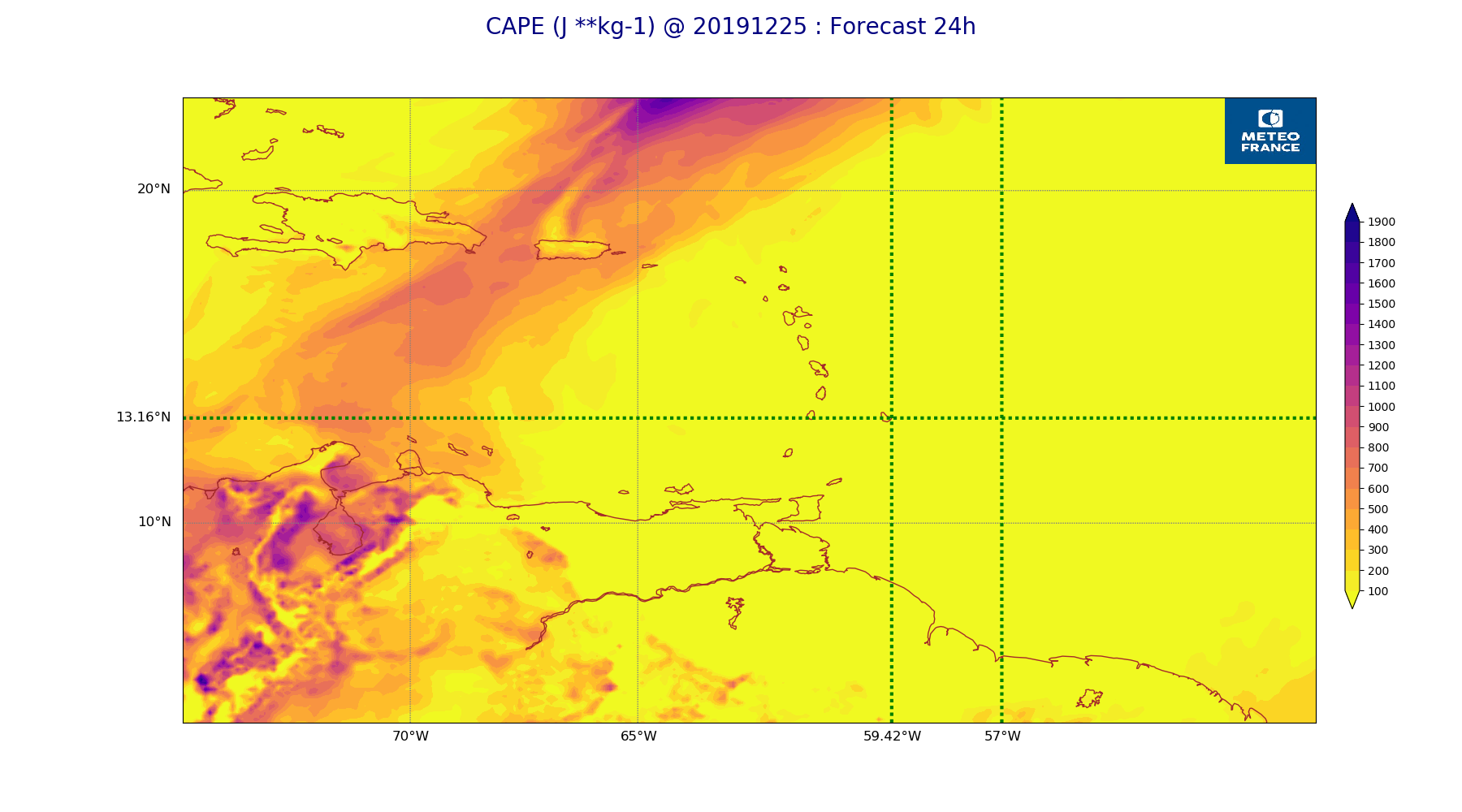
ARPEGE_map2D_CAPE_20191225_fct_24.png
2019-12-25 12:07
233K
ARPEGE_map2D_Vertical_velocity_500hPa_20191225_fct_36.png
2019-12-25 11:54
233K
ARPEGE_map2D_Vertical_velocity_500hPa_20191225_fct_24.png
2019-12-25 11:54
234K
ARPEGE_map2D_CAPE_20191225_fct_48.png
2019-12-25 12:07
234K
ARPEGE_map2D_PRW_20191225_fct_36.png
2019-12-25 12:03
234K
ARPEGE_map2D_CAPE_20191225_fct_0.png
2019-12-25 12:06
234K
ARPEGE_map2D_Vertical_velocity_500hPa_20191225_fct_0.png
2019-12-25 11:54
234K
ARPEGE_map2D_Cum_3h_RAIN_20191225_fct_36.png
2019-12-25 12:02
234K
ARPEGE_map2D_RH_700hPa_20191225_fct_48.png
2019-12-25 11:58
235K
ARPEGE_map2D_u10_20191225_fct_48.png
2019-12-25 12:03
236K
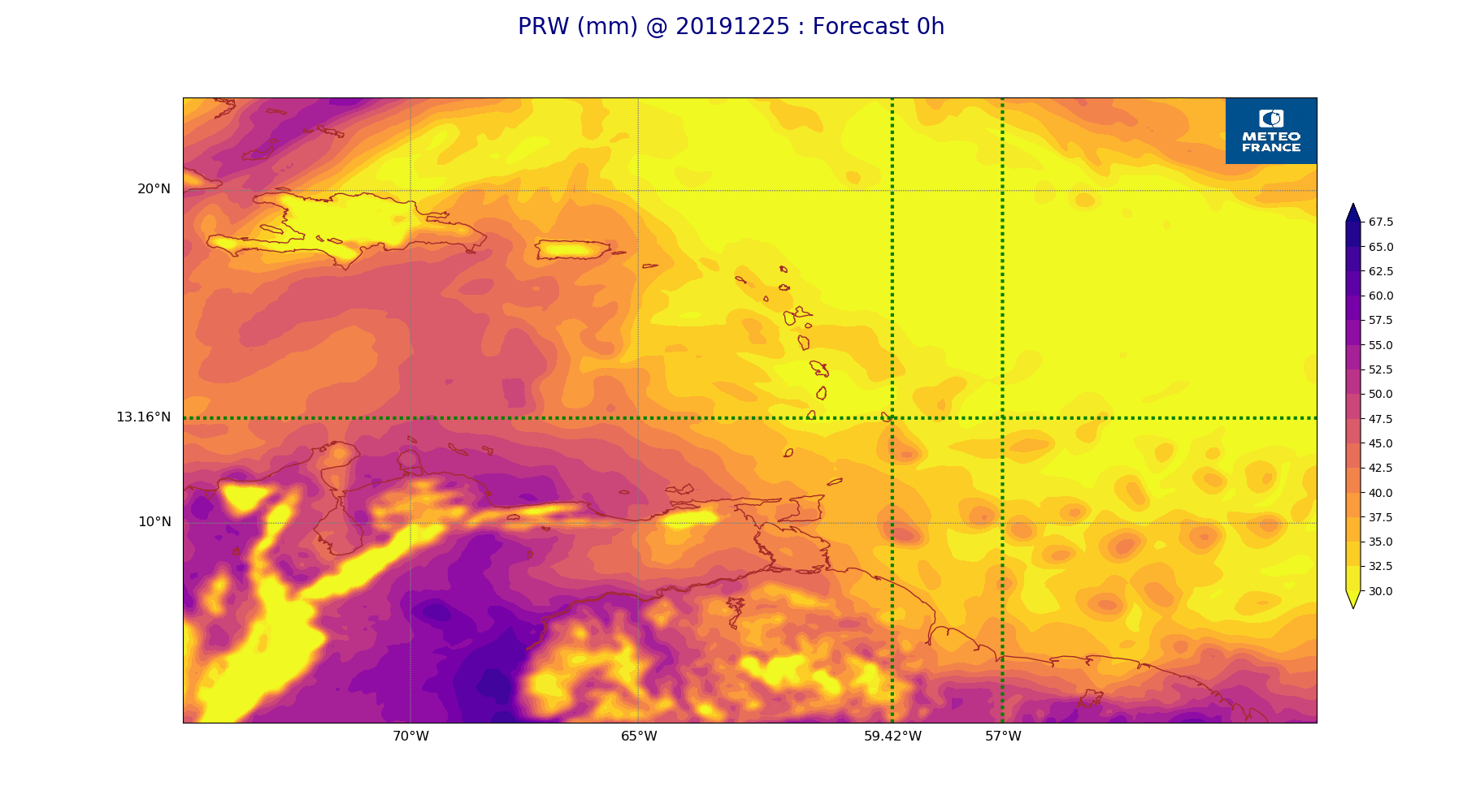
ARPEGE_map2D_PRW_20191225_fct_0.png
2019-12-25 12:02
237K
ARPEGE_map2D_qv_850hPa_20191225_fct_24.png
2019-12-25 11:58
238K
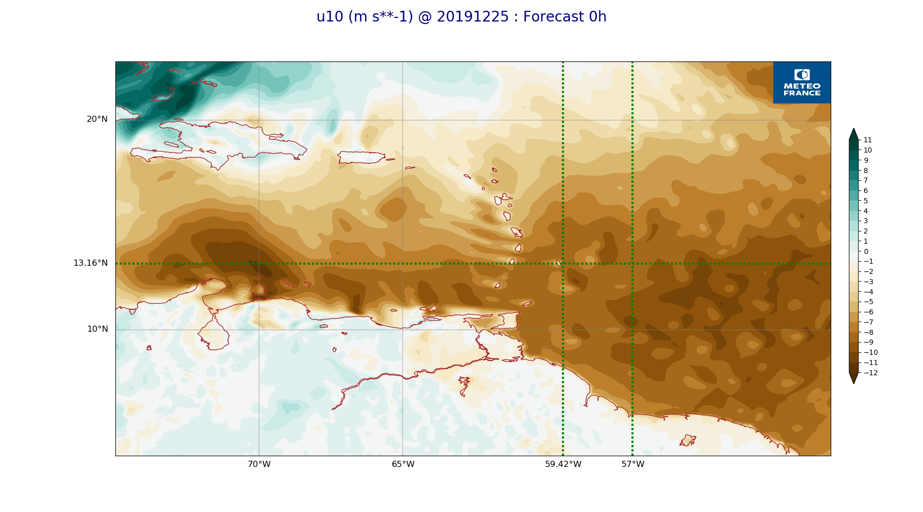
ARPEGE_map2D_u10_20191225_fct_0.png
2019-12-25 12:03
239K
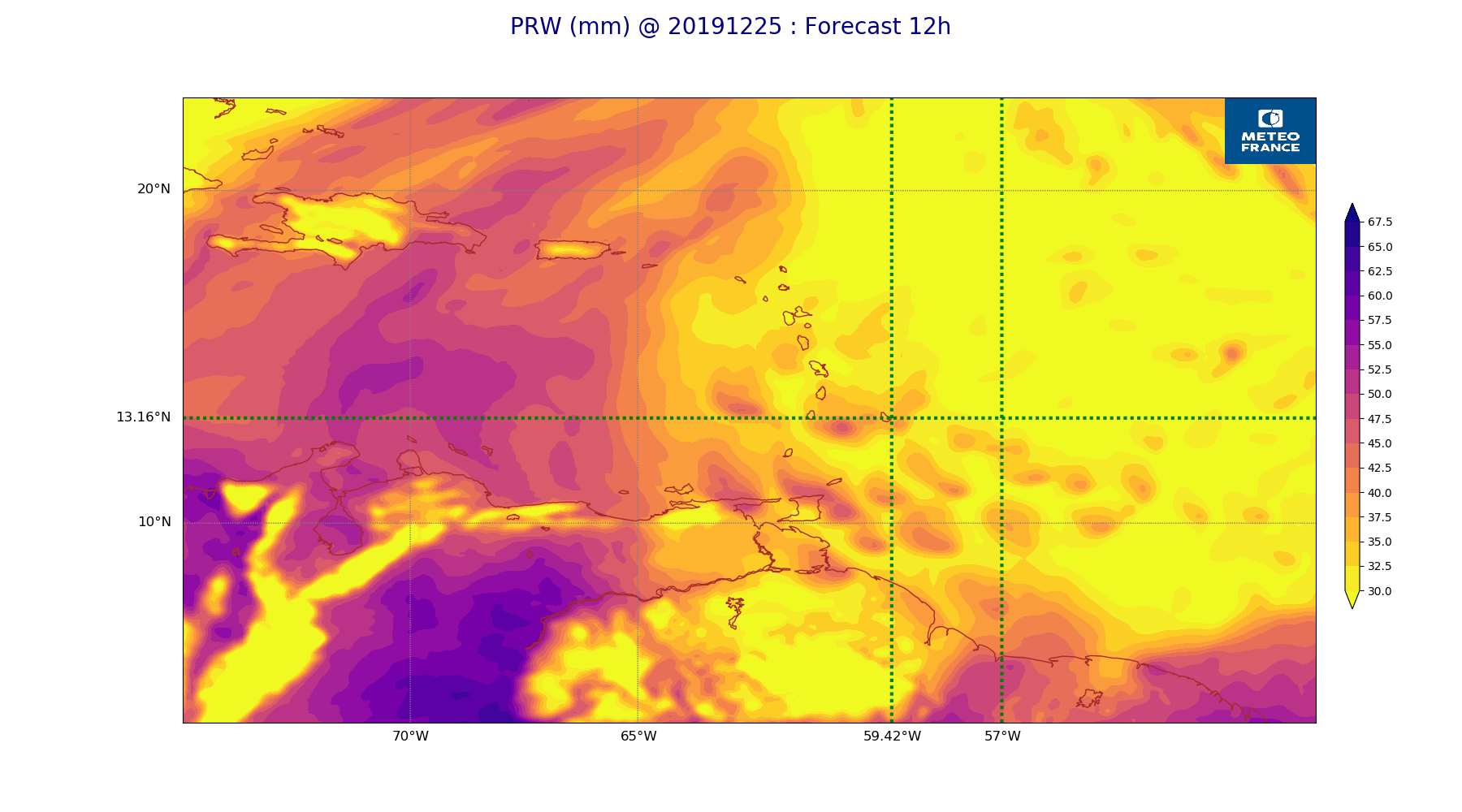
ARPEGE_map2D_PRW_20191225_fct_12.png
2019-12-25 12:02
240K
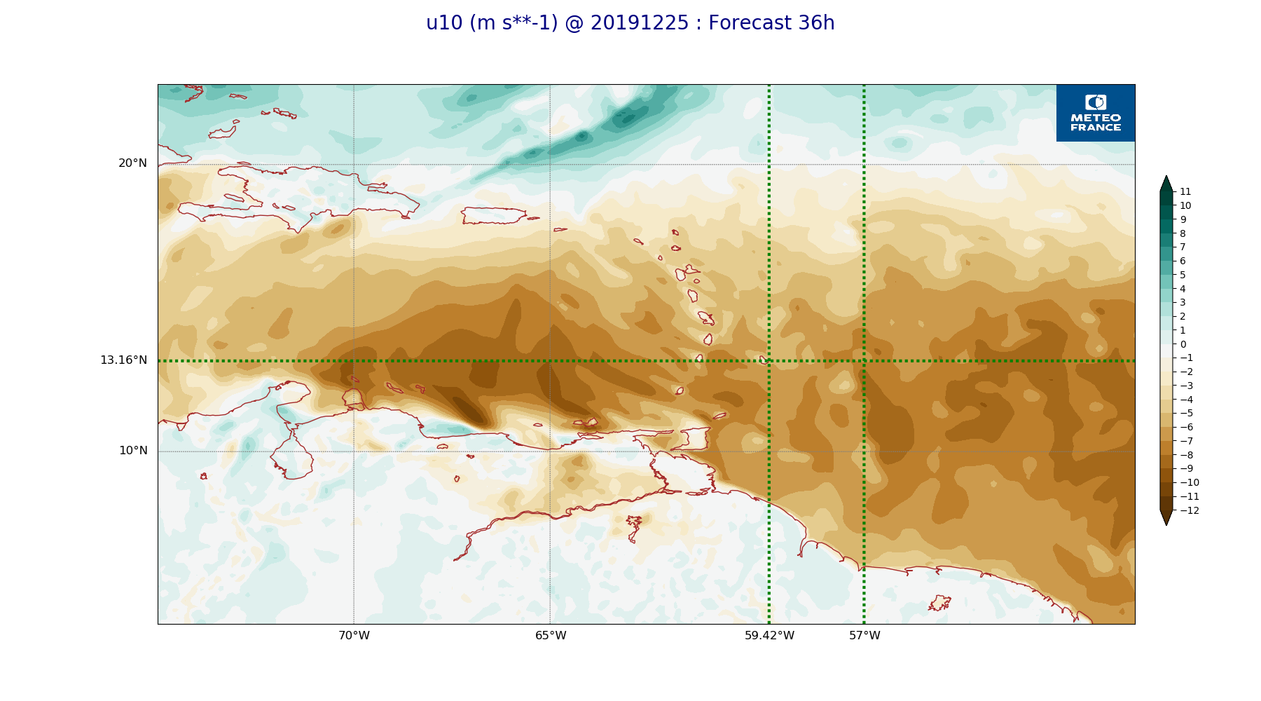
ARPEGE_map2D_u10_20191225_fct_36.png
2019-12-25 12:03
240K
ARPEGE_map2D_qv_850hPa_20191225_fct_48.png
2019-12-25 11:59
241K
ARPEGE_map2D_qv_850hPa_20191225_fct_36.png
2019-12-25 11:59
241K
ARPEGE_map2D_Vertical_velocity_500hPa_20191225_fct_12.png
2019-12-25 11:54
242K
ARPEGE_map2D_u10_20191225_fct_12.png
2019-12-25 12:03
244K
ARPEGE_map2D_qv_925hPa_20191225_fct_0.png
2019-12-25 11:58
245K
ARPEGE_map2D_qv_925hPa_20191225_fct_24.png
2019-12-25 11:59
245K
ARPEGE_map2D_qv_850hPa_20191225_fct_0.png
2019-12-25 11:58
247K
ARPEGE_map2D_qv_925hPa_20191225_fct_36.png
2019-12-25 11:59
248K
ARPEGE_map2D_qv_925hPa_20191225_fct_48.png
2019-12-25 11:59
251K
ARPEGE_map2D_qv_925hPa_20191225_fct_12.png
2019-12-25 11:58
252K
ARPEGE_map2D_Vertical_velocity_700hPa_20191225_fct_24.png
2019-12-25 11:54
252K
ARPEGE_map2D_qv_850hPa_20191225_fct_12.png
2019-12-25 11:58
252K
ARPEGE_map2D_V_925hPa_20191225_fct_0.png
2019-12-25 11:55
254K
ARPEGE_map2D_V_925hPa_20191225_fct_12.png
2019-12-25 11:55
256K
ARPEGE_map2D_Vertical_velocity_700hPa_20191225_fct_48.png
2019-12-25 11:54
256K
ARPEGE_map2D_V_925hPa_20191225_fct_24.png
2019-12-25 11:56
257K
ARPEGE_map2D_Vertical_velocity_700hPa_20191225_fct_0.png
2019-12-25 11:54
257K
ARPEGE_map2D_V_925hPa_20191225_fct_36.png
2019-12-25 11:56
259K
ARPEGE_map2D_Vertical_velocity_700hPa_20191225_fct_36.png
2019-12-25 11:54
263K
ARPEGE_map2D_V_850hPa_20191225_fct_0.png
2019-12-25 11:55
265K
ARPEGE_map2D_V_925hPa_20191225_fct_48.png
2019-12-25 11:56
265K
ARPEGE_map2D_Vertical_velocity_700hPa_20191225_fct_12.png
2019-12-25 11:54
267K
ARPEGE_map2D_V_850hPa_20191225_fct_24.png
2019-12-25 11:56
269K
ARPEGE_map2D_V_850hPa_20191225_fct_48.png
2019-12-25 11:56
269K
ARPEGE_map2D_V_850hPa_20191225_fct_12.png
2019-12-25 11:55
270K
ARPEGE_map2D_V_850hPa_20191225_fct_36.png
2019-12-25 11:56
271K
ARPEGE_map2D_RH_850hPa_20191225_fct_24.png
2019-12-25 11:58
275K
ARPEGE_map2D_RH_850hPa_20191225_fct_48.png
2019-12-25 11:58
280K
ARPEGE_map2D_RH_850hPa_20191225_fct_36.png
2019-12-25 11:58
281K
ARPEGE_map2D_Vertical_velocity_850hPa_20191225_fct_24.png
2019-12-25 11:54
281K
ARPEGE_map2D_RH_850hPa_20191225_fct_0.png
2019-12-25 11:58
284K
ARPEGE_map2D_Vertical_velocity_850hPa_20191225_fct_48.png
2019-12-25 11:55
285K
ARPEGE_map2D_Vertical_velocity_850hPa_20191225_fct_0.png
2019-12-25 11:54
286K
ARPEGE_map2D_Vertical_velocity_850hPa_20191225_fct_36.png
2019-12-25 11:54
294K
ARPEGE_map2D_RH_850hPa_20191225_fct_12.png
2019-12-25 11:58
297K
ARPEGE_map2D_Vertical_velocity_850hPa_20191225_fct_12.png
2019-12-25 11:54
300K
ARPEGE_map2D_Fraction_cloud_cover_500hPa_20191225_fct_24.png
2019-12-25 11:56
304K
ARPEGE_map2D_Fraction_cloud_cover_500hPa_20191225_fct_12.png
2019-12-25 11:56
314K
ARPEGE_map2D_Fraction_cloud_cover_500hPa_20191225_fct_48.png
2019-12-25 11:56
319K
ARPEGE_map2D_Fraction_cloud_cover_500hPa_20191225_fct_36.png
2019-12-25 11:56
324K
ARPEGE_map2D_Mid_CC_785_450hPa_20191225_fct_24.png
2019-12-25 12:00
331K
ARPEGE_map2D_Mid_CC_785_450hPa_20191225_fct_36.png
2019-12-25 12:01
338K
ARPEGE_map2D_Mid_CC_785_450hPa_20191225_fct_48.png
2019-12-25 12:01
350K
ARPEGE_map2D_Fraction_cloud_cover_200hPa_20191225_fct_12.png
2019-12-25 11:56
356K
ARPEGE_map2D_Low_CC_inf_785hPa_20191225_fct_24.png
2019-12-25 12:00
365K
ARPEGE_map2D_Fraction_cloud_cover_200hPa_20191225_fct_36.png
2019-12-25 11:56
370K
ARPEGE_map2D_Low_CC_inf_785hPa_20191225_fct_48.png
2019-12-25 12:00
375K
ARPEGE_map2D_Low_CC_inf_785hPa_20191225_fct_36.png
2019-12-25 12:00
380K
ARPEGE_map2D_Mid_CC_785_450hPa_20191225_fct_12.png
2019-12-25 12:00
387K
ARPEGE_map2D_Fraction_cloud_cover_200hPa_20191225_fct_24.png
2019-12-25 11:56
389K
ARPEGE_map2D_Fraction_cloud_cover_200hPa_20191225_fct_48.png
2019-12-25 11:56
397K
ARPEGE_map2D_Low_CC_inf_785hPa_20191225_fct_12.png
2019-12-25 12:00
422K
ARPEGE_map2D_Fraction_cloud_cover_850hPa_20191225_fct_24.png
2019-12-25 11:56
478K
ARPEGE_map2D_Fraction_cloud_cover_850hPa_20191225_fct_48.png
2019-12-25 11:57
508K
ARPEGE_map2D_Fraction_cloud_cover_850hPa_20191225_fct_12.png
2019-12-25 11:56
556K
ARPEGE_map2D_Fraction_cloud_cover_850hPa_20191225_fct_36.png
2019-12-25 11:56
559K
ARPEGE_map2D_Fraction_cloud_cover_925hPa_20191225_fct_24.png
2019-12-25 11:56
589K
ARPEGE_map2D_Fraction_cloud_cover_925hPa_20191225_fct_12.png
2019-12-25 11:56
609K
ARPEGE_map2D_Fraction_cloud_cover_925hPa_20191225_fct_48.png
2019-12-25 11:57
627K
ARPEGE_map2D_Fraction_cloud_cover_925hPa_20191225_fct_36.png
2019-12-25 11:56
648K