Index of /aeris/eurec4a-data/FORECASTS/GLOBAL/ARPEGE/2019/20191226/map2D
Name
Last modified
Size
Parent Directory
-
ARPEGE_map2D_LWP_20191226_fct_0.png
2019-12-26 12:04
140K
ARPEGE_map2D_LWP_20191226_fct_12.png
2019-12-26 12:05
141K
ARPEGE_map2D_LWP_20191226_fct_24.png
2019-12-26 12:05
141K
ARPEGE_map2D_LWP_20191226_fct_48.png
2019-12-26 12:05
141K
ARPEGE_map2D_LWP_20191226_fct_36.png
2019-12-26 12:05
141K
ARPEGE_map2D_Psfc_20191226_fct_0.png
2019-12-26 12:06
147K
ARPEGE_map2D_Psfc_20191226_fct_12.png
2019-12-26 12:06
147K
ARPEGE_map2D_Psfc_20191226_fct_24.png
2019-12-26 12:06
147K
ARPEGE_map2D_Psfc_20191226_fct_48.png
2019-12-26 12:06
148K
ARPEGE_map2D_Psfc_20191226_fct_36.png
2019-12-26 12:06
148K
ARPEGE_map2D_IWP_20191226_fct_0.png
2019-12-26 12:05
151K
ARPEGE_map2D_Cum_3h_RAIN_20191226_fct_0.png
2019-12-26 12:02
151K
ARPEGE_map2D_IWP_20191226_fct_48.png
2019-12-26 12:06
151K
ARPEGE_map2D_IWP_20191226_fct_24.png
2019-12-26 12:05
151K
ARPEGE_map2D_IWP_20191226_fct_36.png
2019-12-26 12:05
151K
ARPEGE_map2D_IWP_20191226_fct_12.png
2019-12-26 12:05
152K
ARPEGE_map2D_theta_500hPa_20191226_fct_24.png
2019-12-26 11:57
158K
ARPEGE_map2D_qv_500hPa_20191226_fct_48.png
2019-12-26 11:59
158K
ARPEGE_map2D_qv_500hPa_20191226_fct_12.png
2019-12-26 11:58
158K
ARPEGE_map2D_qv_500hPa_20191226_fct_0.png
2019-12-26 11:58
158K
ARPEGE_map2D_qv_500hPa_20191226_fct_36.png
2019-12-26 11:59
159K
ARPEGE_map2D_qv_500hPa_20191226_fct_24.png
2019-12-26 11:59
159K
ARPEGE_map2D_theta_850hPa_20191226_fct_0.png
2019-12-26 11:57
160K
ARPEGE_map2D_theta_500hPa_20191226_fct_48.png
2019-12-26 11:57
160K
ARPEGE_map2D_theta_500hPa_20191226_fct_0.png
2019-12-26 11:57
161K
ARPEGE_map2D_Fraction_cloud_cover_925hPa_20191226_fct_0.png
2019-12-26 11:56
161K
ARPEGE_map2D_Fraction_cloud_cover_500hPa_20191226_fct_0.png
2019-12-26 11:56
161K
ARPEGE_map2D_Fraction_cloud_cover_200hPa_20191226_fct_0.png
2019-12-26 11:56
161K
ARPEGE_map2D_Fraction_cloud_cover_850hPa_20191226_fct_0.png
2019-12-26 11:56
161K
ARPEGE_map2D_theta_850hPa_20191226_fct_48.png
2019-12-26 11:57
161K
ARPEGE_map2D_T_500hPa_20191226_fct_24.png
2019-12-26 11:57
162K
ARPEGE_map2D_theta_500hPa_20191226_fct_12.png
2019-12-26 11:57
162K
ARPEGE_map2D_U_200hPa_20191226_fct_36.png
2019-12-26 11:55
163K
ARPEGE_map2D_theta_500hPa_20191226_fct_36.png
2019-12-26 11:57
163K
ARPEGE_map2D_theta_850hPa_20191226_fct_24.png
2019-12-26 11:57
164K
ARPEGE_map2D_U_200hPa_20191226_fct_24.png
2019-12-26 11:55
165K
ARPEGE_map2D_T_850hPa_20191226_fct_48.png
2019-12-26 11:58
165K
ARPEGE_map2D_T_500hPa_20191226_fct_0.png
2019-12-26 11:57
165K
ARPEGE_map2D_Low_CC_inf_785hPa_20191226_fct_0.png
2019-12-26 12:00
167K
ARPEGE_map2D_U_200hPa_20191226_fct_12.png
2019-12-26 11:55
167K
ARPEGE_map2D_U_200hPa_20191226_fct_48.png
2019-12-26 11:55
167K
ARPEGE_map2D_High_CC_sup_450hPa_20191226_fct_0.png
2019-12-26 12:01
167K
ARPEGE_map2D_Mid_CC_785_450hPa_20191226_fct_0.png
2019-12-26 12:00
168K
ARPEGE_map2D_T_850hPa_20191226_fct_24.png
2019-12-26 11:57
168K
ARPEGE_map2D_T_850hPa_20191226_fct_0.png
2019-12-26 11:57
168K
ARPEGE_map2D_T_500hPa_20191226_fct_48.png
2019-12-26 11:58
168K
ARPEGE_map2D_T_500hPa_20191226_fct_12.png
2019-12-26 11:57
169K
ARPEGE_map2D_theta_850hPa_20191226_fct_12.png
2019-12-26 11:57
169K
ARPEGE_map2D_U_200hPa_20191226_fct_0.png
2019-12-26 11:55
170K
ARPEGE_map2D_T_500hPa_20191226_fct_36.png
2019-12-26 11:57
172K
ARPEGE_map2D_theta_850hPa_20191226_fct_36.png
2019-12-26 11:57
172K
ARPEGE_map2D_T_850hPa_20191226_fct_36.png
2019-12-26 11:58
177K
ARPEGE_map2D_T_850hPa_20191226_fct_12.png
2019-12-26 11:57
177K
ARPEGE_map2D_High_CC_sup_450hPa_20191226_fct_12.png
2019-12-26 12:01
179K
ARPEGE_map2D_High_CC_sup_450hPa_20191226_fct_24.png
2019-12-26 12:01
180K
ARPEGE_map2D_theta_925hPa_20191226_fct_0.png
2019-12-26 11:57
180K
ARPEGE_map2D_T_925hPa_20191226_fct_0.png
2019-12-26 11:57
182K
ARPEGE_map2D_theta_925hPa_20191226_fct_24.png
2019-12-26 11:57
183K
ARPEGE_map2D_T_925hPa_20191226_fct_24.png
2019-12-26 11:57
183K
ARPEGE_map2D_theta_925hPa_20191226_fct_48.png
2019-12-26 11:57
185K
ARPEGE_map2D_T_925hPa_20191226_fct_48.png
2019-12-26 11:58
186K
ARPEGE_map2D_U_500hPa_20191226_fct_0.png
2019-12-26 11:55
187K
ARPEGE_map2D_U_500hPa_20191226_fct_48.png
2019-12-26 11:55
188K
ARPEGE_map2D_theta_925hPa_20191226_fct_12.png
2019-12-26 11:57
190K
ARPEGE_map2D_T_925hPa_20191226_fct_36.png
2019-12-26 11:58
190K
ARPEGE_map2D_U_500hPa_20191226_fct_24.png
2019-12-26 11:55
190K
ARPEGE_map2D_V_200hPa_20191226_fct_24.png
2019-12-26 11:56
191K
ARPEGE_map2D_theta_925hPa_20191226_fct_36.png
2019-12-26 11:57
191K
ARPEGE_map2D_T_925hPa_20191226_fct_12.png
2019-12-26 11:57
192K
ARPEGE_map2D_U_500hPa_20191226_fct_12.png
2019-12-26 11:55
193K
ARPEGE_map2D_U_500hPa_20191226_fct_36.png
2019-12-26 11:55
193K
ARPEGE_map2D_Geopotential_0_7_PVU_20191226_fct_36.png
2019-12-26 11:59
195K
ARPEGE_map2D_V_200hPa_20191226_fct_0.png
2019-12-26 11:55
195K
ARPEGE_map2D_V_200hPa_20191226_fct_48.png
2019-12-26 11:56
198K
ARPEGE_map2D_Geopotential_0_7_PVU_20191226_fct_0.png
2019-12-26 11:59
200K
ARPEGE_map2D_V_200hPa_20191226_fct_12.png
2019-12-26 11:55
200K
ARPEGE_map2D_Geopotential_0_7_PVU_20191226_fct_24.png
2019-12-26 11:59
200K
ARPEGE_map2D_High_CC_sup_450hPa_20191226_fct_36.png
2019-12-26 12:01
201K
ARPEGE_map2D_V_200hPa_20191226_fct_36.png
2019-12-26 11:56
202K
ARPEGE_map2D_Geopotential_0_7_PVU_20191226_fct_48.png
2019-12-26 12:00
203K
ARPEGE_map2D_Cum_3h_RAIN_20191226_fct_12.png
2019-12-26 12:02
203K
ARPEGE_map2D_U_925hPa_20191226_fct_0.png
2019-12-26 11:55
206K
ARPEGE_map2D_Geopotential_0_7_PVU_20191226_fct_12.png
2019-12-26 11:59
206K
ARPEGE_map2D_U_925hPa_20191226_fct_12.png
2019-12-26 11:55
206K
ARPEGE_map2D_U_925hPa_20191226_fct_48.png
2019-12-26 11:55
207K
ARPEGE_map2D_RH_500hPa_20191226_fct_48.png
2019-12-26 11:58
208K
ARPEGE_map2D_U_850hPa_20191226_fct_24.png
2019-12-26 11:55
209K
ARPEGE_map2D_U_850hPa_20191226_fct_48.png
2019-12-26 11:55
209K
ARPEGE_map2D_U_925hPa_20191226_fct_24.png
2019-12-26 11:55
211K
ARPEGE_map2D_U_850hPa_20191226_fct_0.png
2019-12-26 11:55
211K
ARPEGE_map2D_U_925hPa_20191226_fct_36.png
2019-12-26 11:55
211K
ARPEGE_map2D_V_500hPa_20191226_fct_48.png
2019-12-26 11:56
212K
ARPEGE_map2D_U_850hPa_20191226_fct_12.png
2019-12-26 11:55
212K
ARPEGE_map2D_U_850hPa_20191226_fct_36.png
2019-12-26 11:55
213K
ARPEGE_map2D_v10_20191226_fct_0.png
2019-12-26 12:04
214K
ARPEGE_map2D_v10_20191226_fct_12.png
2019-12-26 12:04
214K
ARPEGE_map2D_RH_500hPa_20191226_fct_24.png
2019-12-26 11:58
215K
ARPEGE_map2D_RH_500hPa_20191226_fct_0.png
2019-12-26 11:58
215K
ARPEGE_map2D_V_500hPa_20191226_fct_0.png
2019-12-26 11:55
216K
ARPEGE_map2D_CAPE_20191226_fct_12.png
2019-12-26 12:07
216K
ARPEGE_map2D_RH_500hPa_20191226_fct_12.png
2019-12-26 11:58
216K
ARPEGE_map2D_V_500hPa_20191226_fct_12.png
2019-12-26 11:55
219K
ARPEGE_map2D_V_500hPa_20191226_fct_24.png
2019-12-26 11:56
220K
ARPEGE_map2D_RH_500hPa_20191226_fct_36.png
2019-12-26 11:58
220K
ARPEGE_map2D_V_500hPa_20191226_fct_36.png
2019-12-26 11:56
220K
ARPEGE_map2D_v10_20191226_fct_24.png
2019-12-26 12:04
223K
ARPEGE_map2D_v10_20191226_fct_48.png
2019-12-26 12:04
223K
ARPEGE_map2D_Cum_3h_RAIN_20191226_fct_36.png
2019-12-26 12:02
225K
ARPEGE_map2D_Cum_3h_RAIN_20191226_fct_24.png
2019-12-26 12:02
225K
ARPEGE_map2D_v10_20191226_fct_36.png
2019-12-26 12:04
225K
ARPEGE_map2D_High_CC_sup_450hPa_20191226_fct_48.png
2019-12-26 12:02
226K
ARPEGE_map2D_CAPE_20191226_fct_36.png
2019-12-26 12:07
227K
ARPEGE_map2D_RH_700hPa_20191226_fct_12.png
2019-12-26 11:58
228K
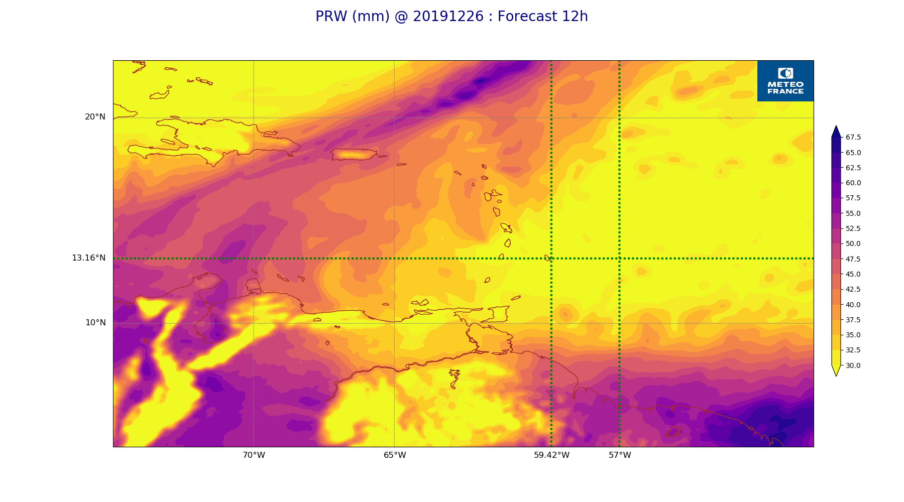
ARPEGE_map2D_PRW_20191226_fct_12.png
2019-12-26 12:03
230K
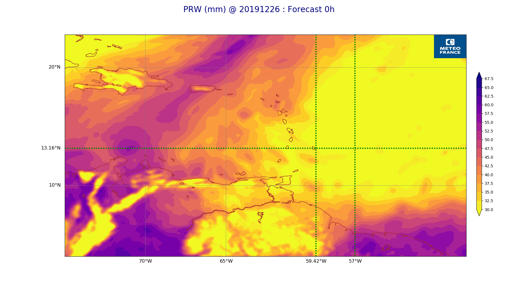
ARPEGE_map2D_PRW_20191226_fct_0.png
2019-12-26 12:02
231K
ARPEGE_map2D_Vertical_velocity_500hPa_20191226_fct_48.png
2019-12-26 11:55
231K
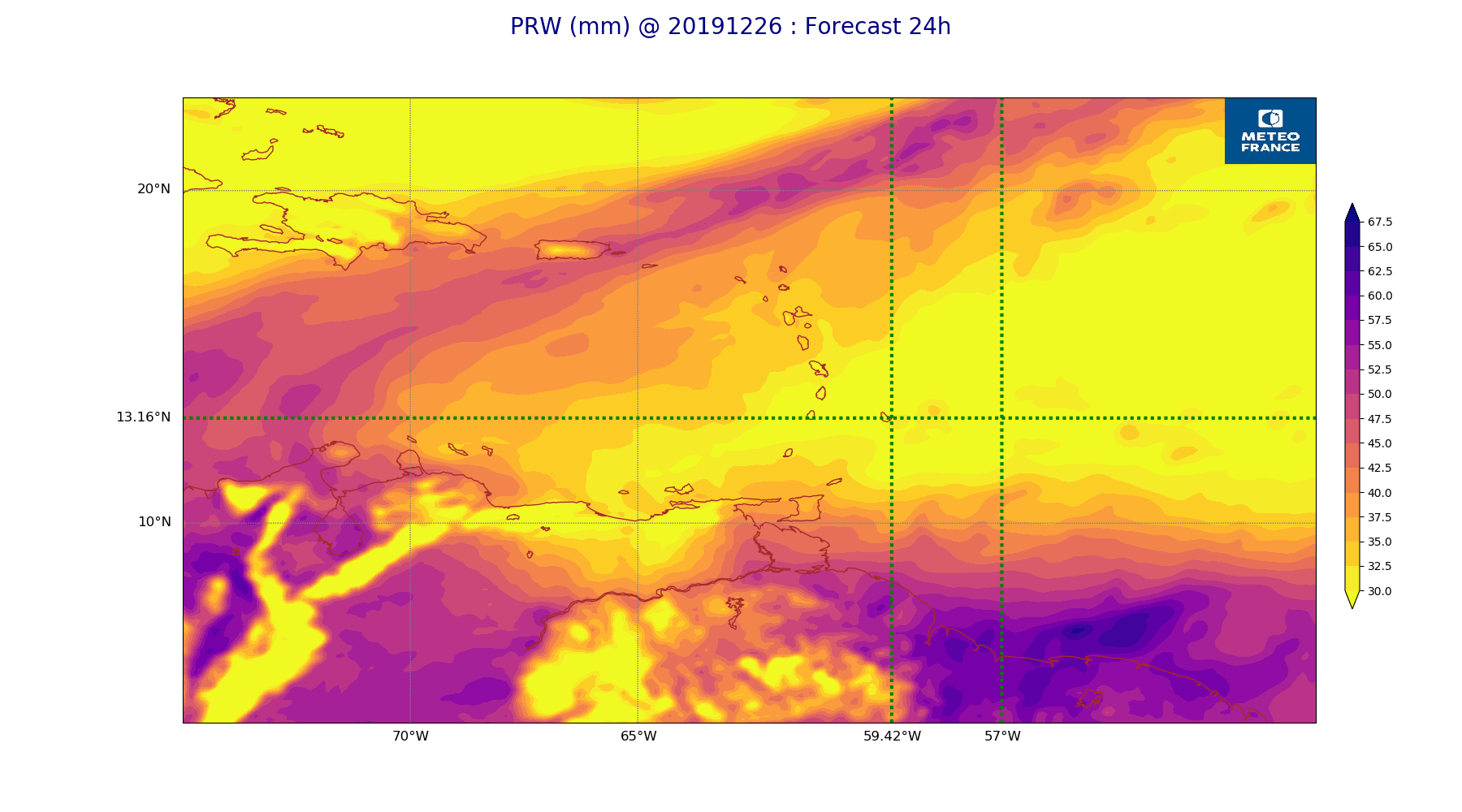
ARPEGE_map2D_PRW_20191226_fct_24.png
2019-12-26 12:03
231K
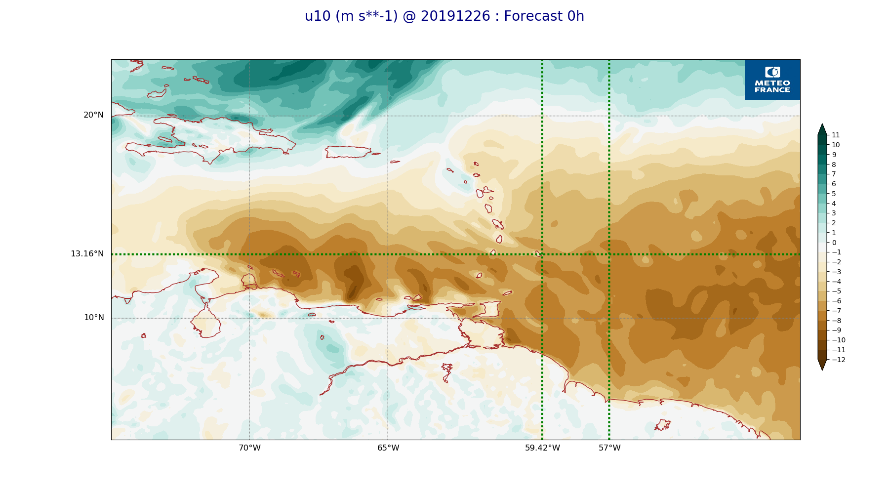
ARPEGE_map2D_u10_20191226_fct_0.png
2019-12-26 12:03
234K
ARPEGE_map2D_qv_850hPa_20191226_fct_12.png
2019-12-26 11:59
234K
ARPEGE_map2D_Vertical_velocity_500hPa_20191226_fct_12.png
2019-12-26 11:54
234K
ARPEGE_map2D_qv_850hPa_20191226_fct_48.png
2019-12-26 11:59
235K
ARPEGE_map2D_RH_700hPa_20191226_fct_0.png
2019-12-26 11:58
235K
ARPEGE_map2D_qv_850hPa_20191226_fct_24.png
2019-12-26 11:59
236K
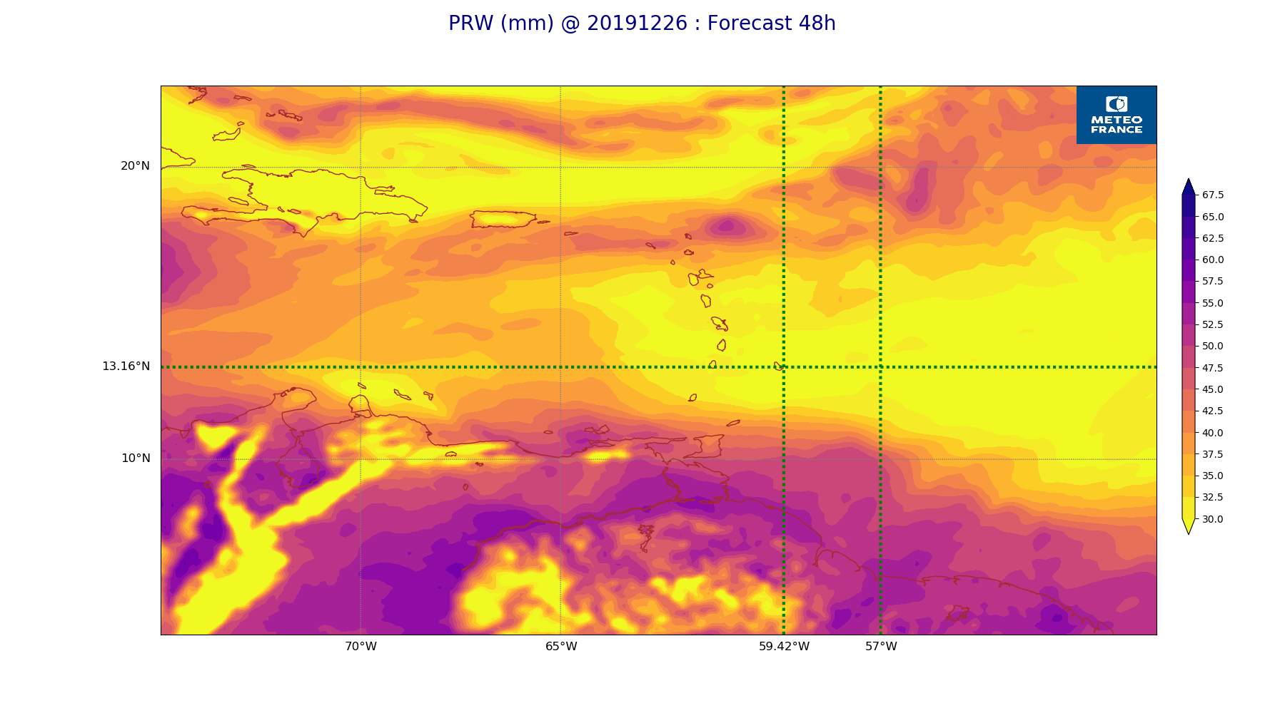
ARPEGE_map2D_PRW_20191226_fct_48.png
2019-12-26 12:03
236K
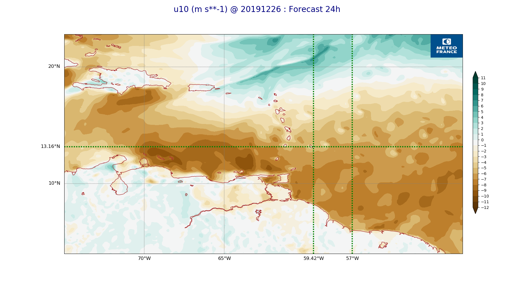
ARPEGE_map2D_u10_20191226_fct_24.png
2019-12-26 12:03
237K
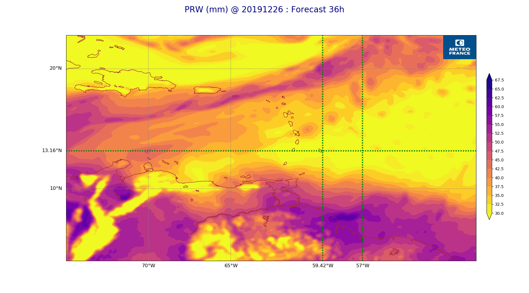
ARPEGE_map2D_PRW_20191226_fct_36.png
2019-12-26 12:03
237K
ARPEGE_map2D_RH_700hPa_20191226_fct_24.png
2019-12-26 11:58
237K
ARPEGE_map2D_qv_850hPa_20191226_fct_36.png
2019-12-26 11:59
238K
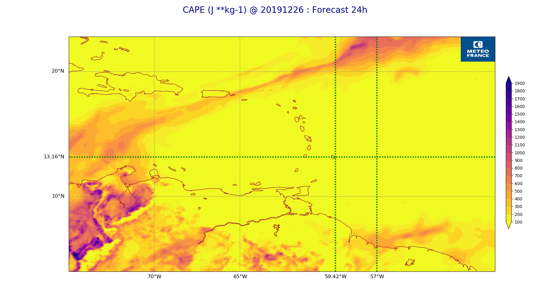
ARPEGE_map2D_CAPE_20191226_fct_24.png
2019-12-26 12:07
239K
ARPEGE_map2D_Cum_3h_RAIN_20191226_fct_48.png
2019-12-26 12:02
239K
ARPEGE_map2D_Vertical_velocity_500hPa_20191226_fct_0.png
2019-12-26 11:54
239K
ARPEGE_map2D_u10_20191226_fct_48.png
2019-12-26 12:04
240K
ARPEGE_map2D_qv_850hPa_20191226_fct_0.png
2019-12-26 11:58
240K
ARPEGE_map2D_u10_20191226_fct_12.png
2019-12-26 12:03
240K
ARPEGE_map2D_Vertical_velocity_500hPa_20191226_fct_24.png
2019-12-26 11:54
241K
ARPEGE_map2D_qv_925hPa_20191226_fct_36.png
2019-12-26 11:59
241K
ARPEGE_map2D_Vertical_velocity_500hPa_20191226_fct_36.png
2019-12-26 11:54
242K
ARPEGE_map2D_CAPE_20191226_fct_0.png
2019-12-26 12:06
242K
ARPEGE_map2D_qv_925hPa_20191226_fct_24.png
2019-12-26 11:59
245K
ARPEGE_map2D_qv_925hPa_20191226_fct_48.png
2019-12-26 11:59
246K
ARPEGE_map2D_u10_20191226_fct_36.png
2019-12-26 12:03
246K
ARPEGE_map2D_qv_925hPa_20191226_fct_12.png
2019-12-26 11:59
246K
ARPEGE_map2D_RH_700hPa_20191226_fct_36.png
2019-12-26 11:58
246K
ARPEGE_map2D_CAPE_20191226_fct_48.png
2019-12-26 12:07
248K
ARPEGE_map2D_qv_925hPa_20191226_fct_0.png
2019-12-26 11:58
250K
ARPEGE_map2D_RH_700hPa_20191226_fct_48.png
2019-12-26 11:58
253K
ARPEGE_map2D_Vertical_velocity_700hPa_20191226_fct_48.png
2019-12-26 11:55
253K
ARPEGE_map2D_Vertical_velocity_700hPa_20191226_fct_0.png
2019-12-26 11:54
254K
ARPEGE_map2D_Vertical_velocity_700hPa_20191226_fct_12.png
2019-12-26 11:54
255K
ARPEGE_map2D_V_925hPa_20191226_fct_0.png
2019-12-26 11:55
257K
ARPEGE_map2D_V_925hPa_20191226_fct_12.png
2019-12-26 11:56
258K
ARPEGE_map2D_Vertical_velocity_700hPa_20191226_fct_24.png
2019-12-26 11:54
258K
ARPEGE_map2D_V_925hPa_20191226_fct_48.png
2019-12-26 11:56
259K
ARPEGE_map2D_V_850hPa_20191226_fct_48.png
2019-12-26 11:56
259K
ARPEGE_map2D_V_850hPa_20191226_fct_0.png
2019-12-26 11:55
262K
ARPEGE_map2D_Vertical_velocity_700hPa_20191226_fct_36.png
2019-12-26 11:54
263K
ARPEGE_map2D_V_850hPa_20191226_fct_12.png
2019-12-26 11:56
264K
ARPEGE_map2D_V_925hPa_20191226_fct_24.png
2019-12-26 11:56
264K
ARPEGE_map2D_V_925hPa_20191226_fct_36.png
2019-12-26 11:56
265K
ARPEGE_map2D_V_850hPa_20191226_fct_24.png
2019-12-26 11:56
266K
ARPEGE_map2D_RH_850hPa_20191226_fct_12.png
2019-12-26 11:58
271K
ARPEGE_map2D_V_850hPa_20191226_fct_36.png
2019-12-26 11:56
272K
ARPEGE_map2D_RH_850hPa_20191226_fct_24.png
2019-12-26 11:58
273K
ARPEGE_map2D_RH_850hPa_20191226_fct_0.png
2019-12-26 11:58
274K
ARPEGE_map2D_RH_850hPa_20191226_fct_48.png
2019-12-26 11:58
274K
ARPEGE_map2D_Vertical_velocity_850hPa_20191226_fct_48.png
2019-12-26 11:55
277K
ARPEGE_map2D_RH_850hPa_20191226_fct_36.png
2019-12-26 11:58
278K
ARPEGE_map2D_Vertical_velocity_850hPa_20191226_fct_24.png
2019-12-26 11:54
284K
ARPEGE_map2D_Vertical_velocity_850hPa_20191226_fct_12.png
2019-12-26 11:54
285K
ARPEGE_map2D_Vertical_velocity_850hPa_20191226_fct_0.png
2019-12-26 11:54
285K
ARPEGE_map2D_Vertical_velocity_850hPa_20191226_fct_36.png
2019-12-26 11:55
289K
ARPEGE_map2D_Fraction_cloud_cover_500hPa_20191226_fct_12.png
2019-12-26 11:56
298K
ARPEGE_map2D_Mid_CC_785_450hPa_20191226_fct_24.png
2019-12-26 12:01
314K
ARPEGE_map2D_Fraction_cloud_cover_500hPa_20191226_fct_24.png
2019-12-26 11:56
317K
ARPEGE_map2D_Mid_CC_785_450hPa_20191226_fct_12.png
2019-12-26 12:00
322K
ARPEGE_map2D_Mid_CC_785_450hPa_20191226_fct_36.png
2019-12-26 12:01
323K
ARPEGE_map2D_Fraction_cloud_cover_200hPa_20191226_fct_12.png
2019-12-26 11:56
339K
ARPEGE_map2D_Fraction_cloud_cover_500hPa_20191226_fct_48.png
2019-12-26 11:57
341K
ARPEGE_map2D_Mid_CC_785_450hPa_20191226_fct_48.png
2019-12-26 12:01
349K
ARPEGE_map2D_Low_CC_inf_785hPa_20191226_fct_48.png
2019-12-26 12:00
350K
ARPEGE_map2D_Fraction_cloud_cover_500hPa_20191226_fct_36.png
2019-12-26 11:56
361K
ARPEGE_map2D_Low_CC_inf_785hPa_20191226_fct_12.png
2019-12-26 12:00
365K
ARPEGE_map2D_Fraction_cloud_cover_200hPa_20191226_fct_24.png
2019-12-26 11:56
365K
ARPEGE_map2D_Low_CC_inf_785hPa_20191226_fct_36.png
2019-12-26 12:00
366K
ARPEGE_map2D_Low_CC_inf_785hPa_20191226_fct_24.png
2019-12-26 12:00
370K
ARPEGE_map2D_Fraction_cloud_cover_200hPa_20191226_fct_36.png
2019-12-26 11:56
375K
ARPEGE_map2D_Fraction_cloud_cover_200hPa_20191226_fct_48.png
2019-12-26 11:57
379K
ARPEGE_map2D_Fraction_cloud_cover_850hPa_20191226_fct_12.png
2019-12-26 11:56
485K
ARPEGE_map2D_Fraction_cloud_cover_850hPa_20191226_fct_48.png
2019-12-26 11:57
490K
ARPEGE_map2D_Fraction_cloud_cover_850hPa_20191226_fct_24.png
2019-12-26 11:56
502K
ARPEGE_map2D_Fraction_cloud_cover_850hPa_20191226_fct_36.png
2019-12-26 11:56
509K
ARPEGE_map2D_Fraction_cloud_cover_925hPa_20191226_fct_24.png
2019-12-26 11:56
610K
ARPEGE_map2D_Fraction_cloud_cover_925hPa_20191226_fct_48.png
2019-12-26 11:57
620K
ARPEGE_map2D_Fraction_cloud_cover_925hPa_20191226_fct_36.png
2019-12-26 11:57
626K
ARPEGE_map2D_Fraction_cloud_cover_925hPa_20191226_fct_12.png
2019-12-26 11:56
627K