Index of /aeris/eurec4a-data/FORECASTS/GLOBAL/ARPEGE/2019/20191228/map2D
Name
Last modified
Size
Parent Directory
-
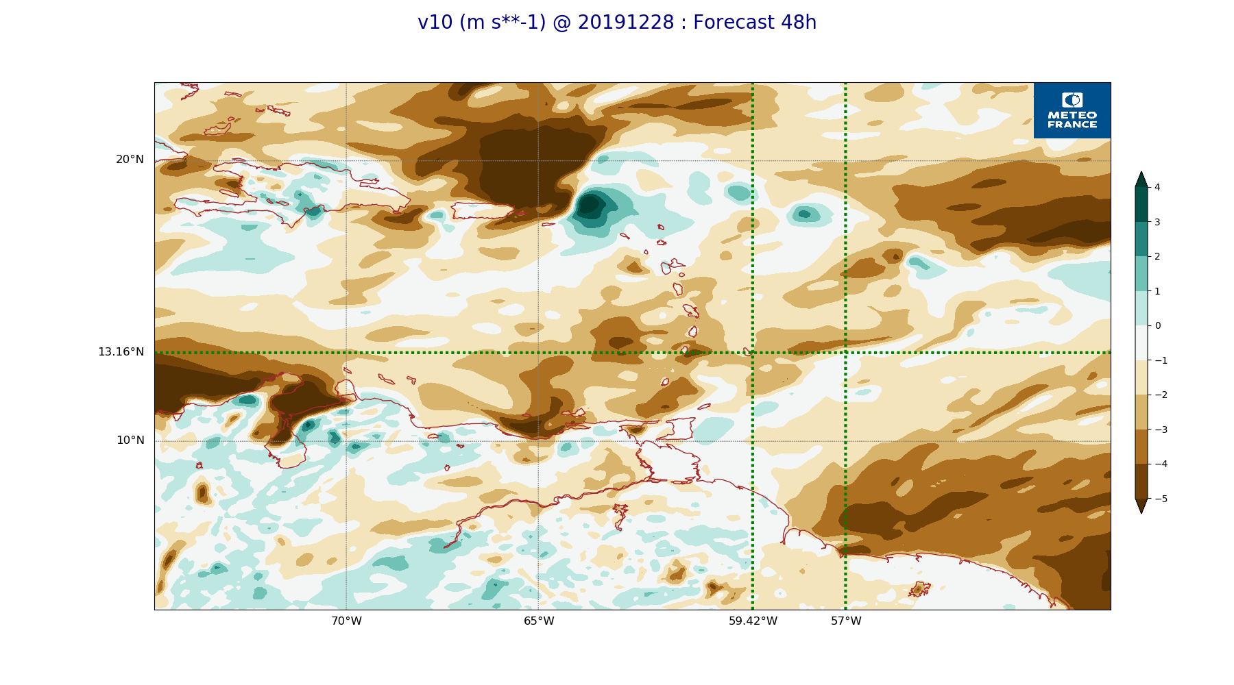
ARPEGE_map2D_v10_20191228_fct_48.png
2019-12-28 12:04
225K
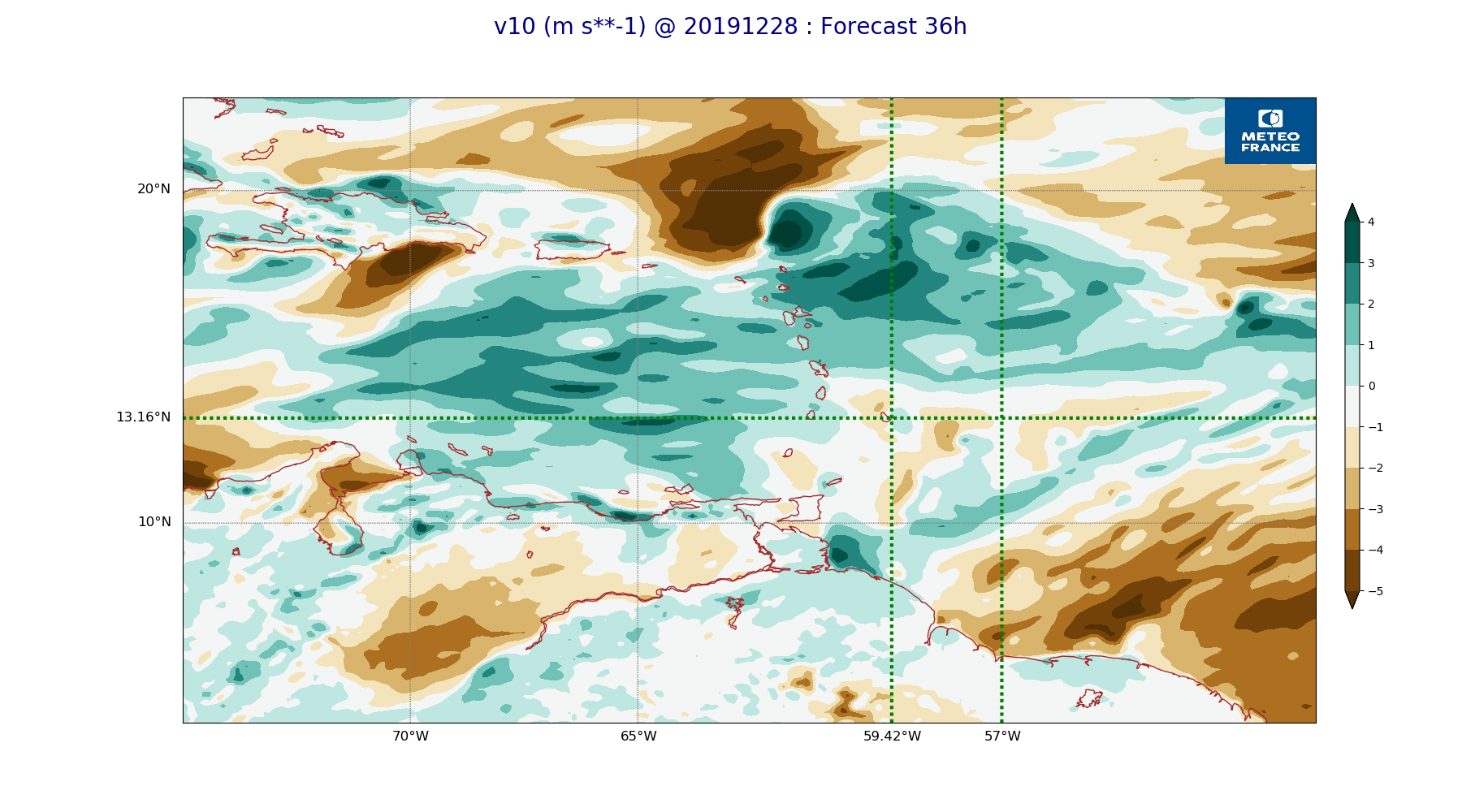
ARPEGE_map2D_v10_20191228_fct_36.png
2019-12-28 12:04
228K
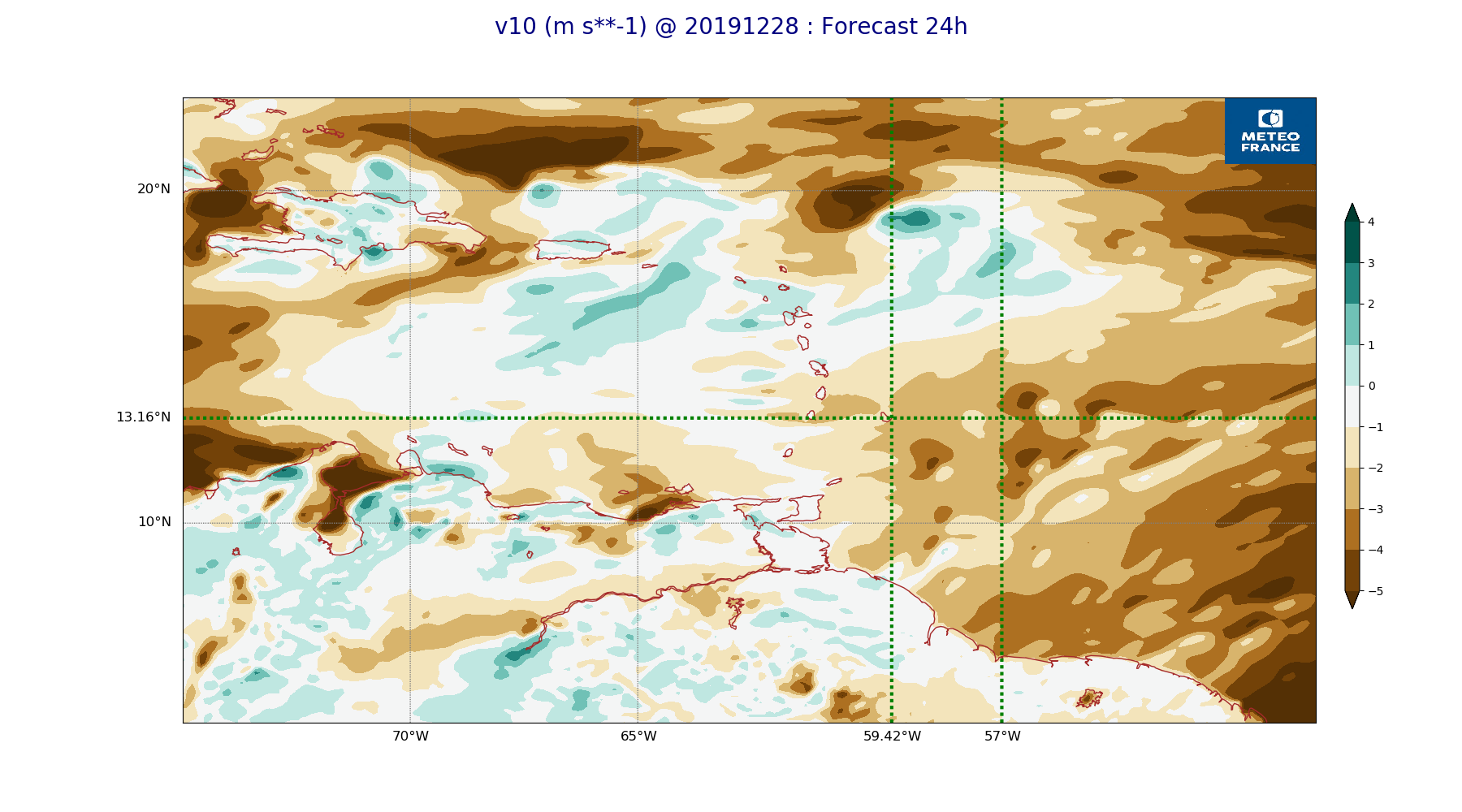
ARPEGE_map2D_v10_20191228_fct_24.png
2019-12-28 12:04
225K
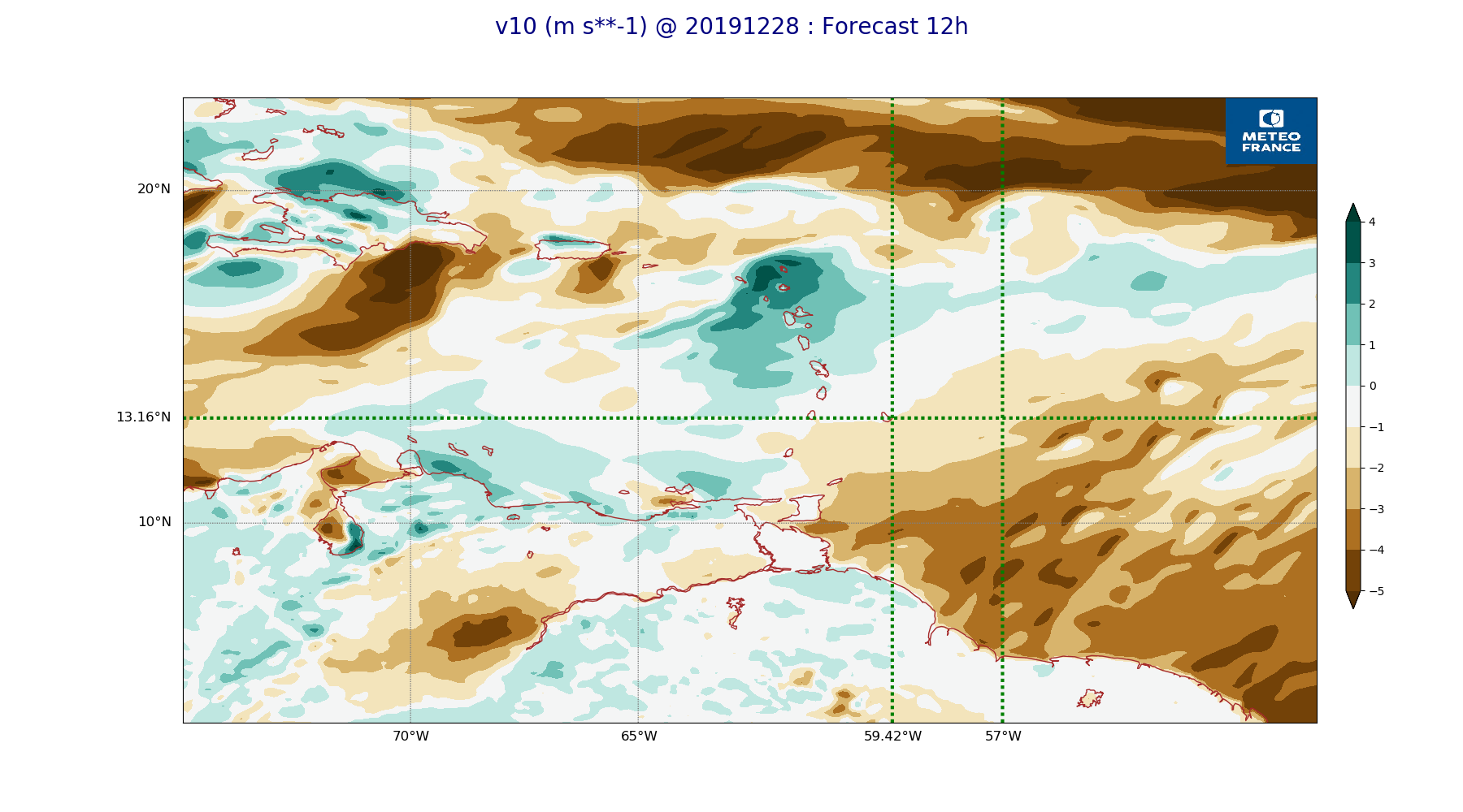
ARPEGE_map2D_v10_20191228_fct_12.png
2019-12-28 12:04
220K
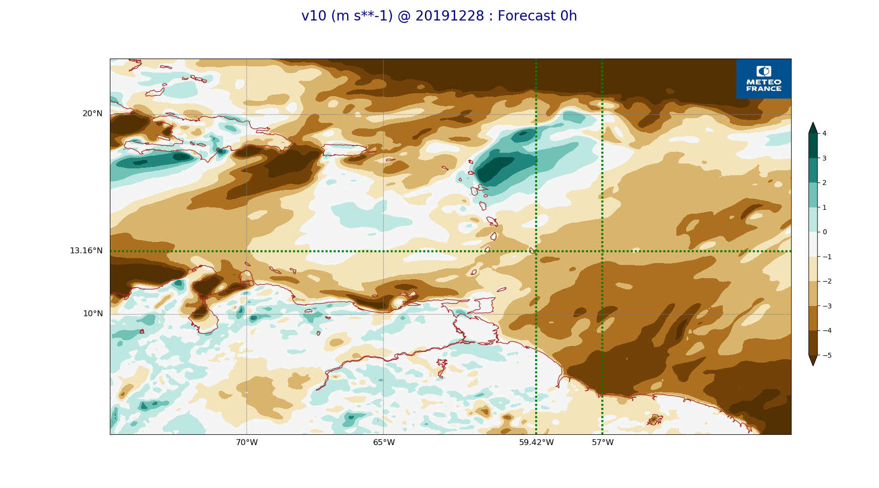
ARPEGE_map2D_v10_20191228_fct_0.png
2019-12-28 12:04
218K
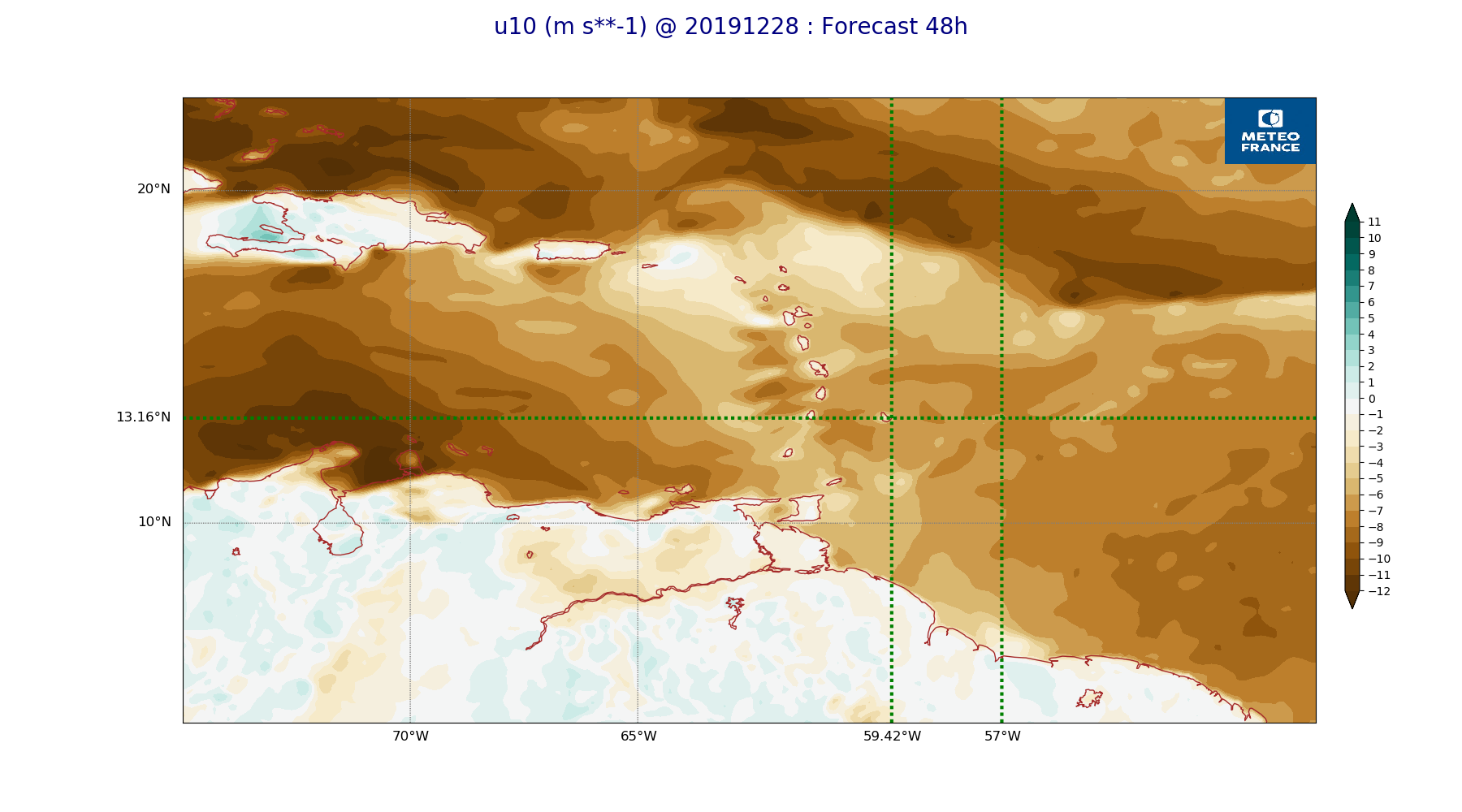
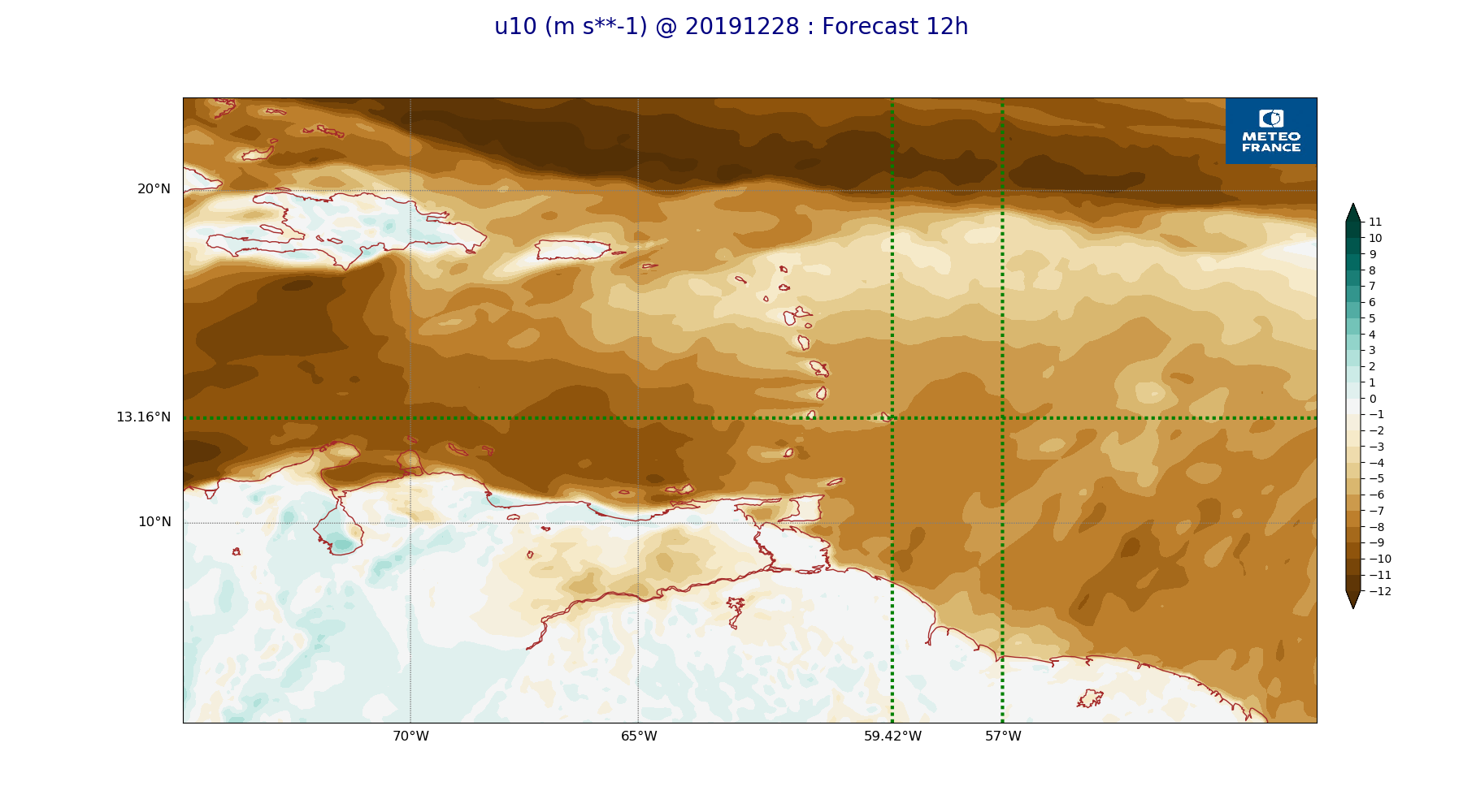
ARPEGE_map2D_u10_20191228_fct_48.png
2019-12-28 12:04
234K
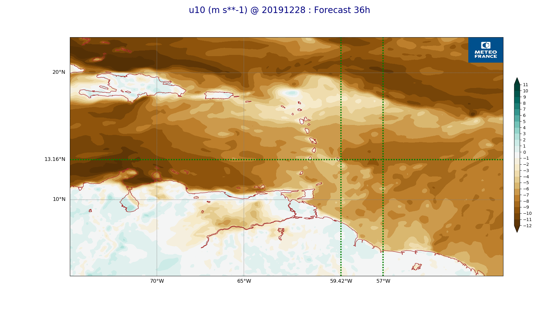
ARPEGE_map2D_u10_20191228_fct_36.png
2019-12-28 12:03
238K
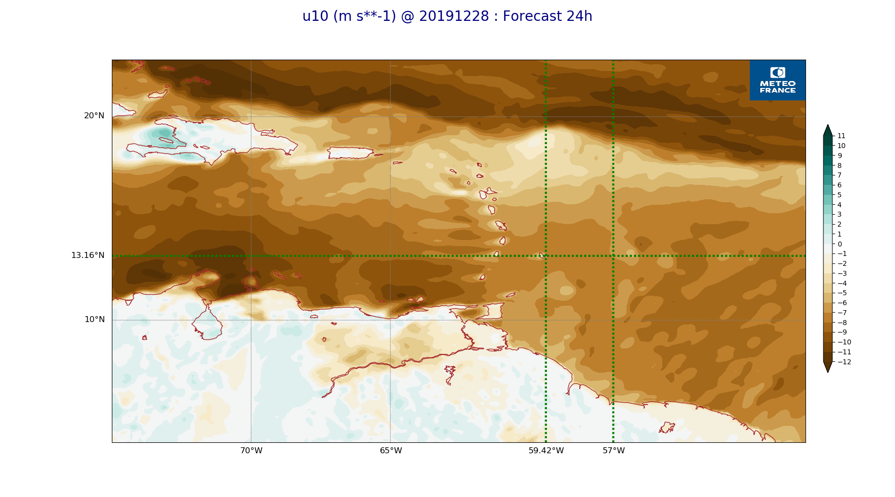
ARPEGE_map2D_u10_20191228_fct_24.png
2019-12-28 12:03
233K
ARPEGE_map2D_u10_20191228_fct_12.png
2019-12-28 12:03
232K
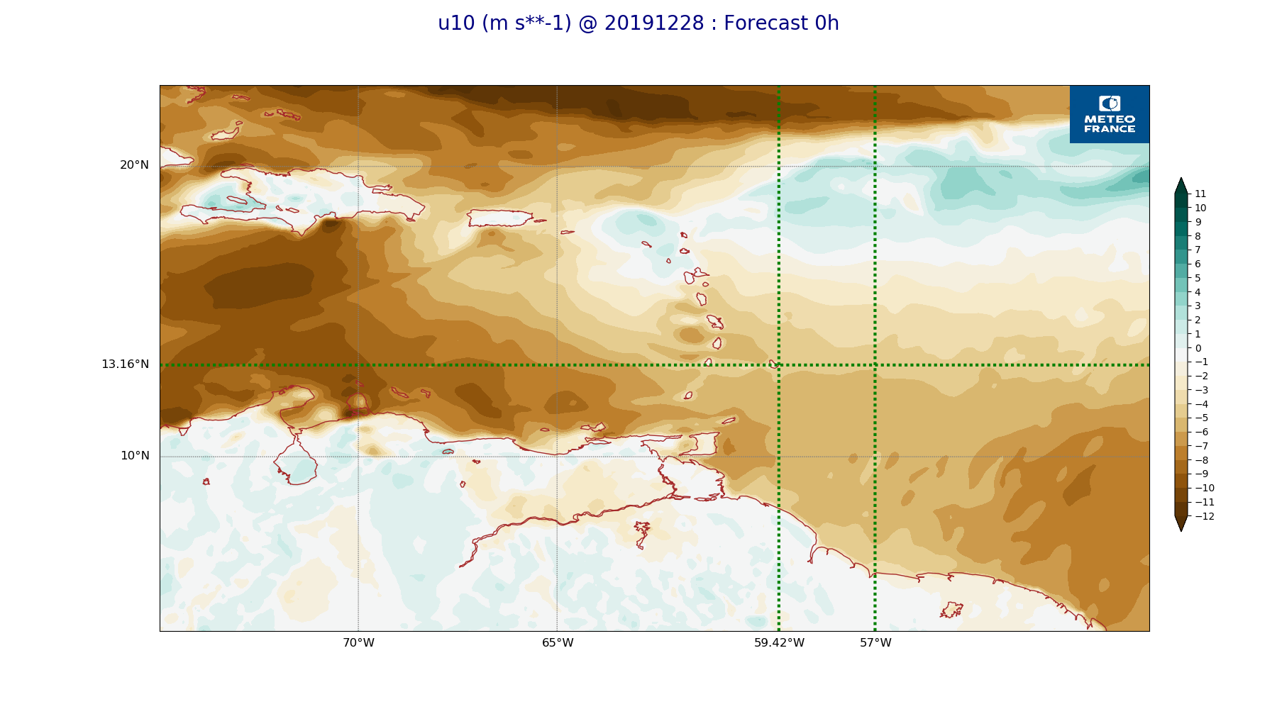
ARPEGE_map2D_u10_20191228_fct_0.png
2019-12-28 12:03
231K
ARPEGE_map2D_theta_925hPa_20191228_fct_48.png
2019-12-28 11:57
179K
ARPEGE_map2D_theta_925hPa_20191228_fct_36.png
2019-12-28 11:57
188K
ARPEGE_map2D_theta_925hPa_20191228_fct_24.png
2019-12-28 11:57
179K
ARPEGE_map2D_theta_925hPa_20191228_fct_12.png
2019-12-28 11:57
183K
ARPEGE_map2D_theta_925hPa_20191228_fct_0.png
2019-12-28 11:57
179K
ARPEGE_map2D_theta_850hPa_20191228_fct_48.png
2019-12-28 11:57
173K
ARPEGE_map2D_theta_850hPa_20191228_fct_36.png
2019-12-28 11:57
178K
ARPEGE_map2D_theta_850hPa_20191228_fct_24.png
2019-12-28 11:57
168K
ARPEGE_map2D_theta_850hPa_20191228_fct_12.png
2019-12-28 11:57
169K
ARPEGE_map2D_theta_850hPa_20191228_fct_0.png
2019-12-28 11:57
158K
ARPEGE_map2D_theta_500hPa_20191228_fct_48.png
2019-12-28 11:57
162K
ARPEGE_map2D_theta_500hPa_20191228_fct_36.png
2019-12-28 11:57
164K
ARPEGE_map2D_theta_500hPa_20191228_fct_24.png
2019-12-28 11:57
161K
ARPEGE_map2D_theta_500hPa_20191228_fct_12.png
2019-12-28 11:57
168K
ARPEGE_map2D_theta_500hPa_20191228_fct_0.png
2019-12-28 11:57
164K
ARPEGE_map2D_qv_925hPa_20191228_fct_48.png
2019-12-28 11:59
239K
ARPEGE_map2D_qv_925hPa_20191228_fct_36.png
2019-12-28 11:59
239K
ARPEGE_map2D_qv_925hPa_20191228_fct_24.png
2019-12-28 11:59
228K
ARPEGE_map2D_qv_925hPa_20191228_fct_12.png
2019-12-28 11:59
231K
ARPEGE_map2D_qv_925hPa_20191228_fct_0.png
2019-12-28 11:58
238K
ARPEGE_map2D_qv_850hPa_20191228_fct_48.png
2019-12-28 11:59
252K
ARPEGE_map2D_qv_850hPa_20191228_fct_36.png
2019-12-28 11:59
248K
ARPEGE_map2D_qv_850hPa_20191228_fct_24.png
2019-12-28 11:59
240K
ARPEGE_map2D_qv_850hPa_20191228_fct_12.png
2019-12-28 11:59
232K
ARPEGE_map2D_qv_850hPa_20191228_fct_0.png
2019-12-28 11:58
228K
ARPEGE_map2D_qv_500hPa_20191228_fct_48.png
2019-12-28 11:59
158K
ARPEGE_map2D_qv_500hPa_20191228_fct_36.png
2019-12-28 11:59
158K
ARPEGE_map2D_qv_500hPa_20191228_fct_24.png
2019-12-28 11:59
158K
ARPEGE_map2D_qv_500hPa_20191228_fct_12.png
2019-12-28 11:58
158K
ARPEGE_map2D_qv_500hPa_20191228_fct_0.png
2019-12-28 11:58
158K
ARPEGE_map2D_Vertical_velocity_850hPa_20191228_fct_48.png
2019-12-28 11:55
300K
ARPEGE_map2D_Vertical_velocity_850hPa_20191228_fct_36.png
2019-12-28 11:55
297K
ARPEGE_map2D_Vertical_velocity_850hPa_20191228_fct_24.png
2019-12-28 11:54
290K
ARPEGE_map2D_Vertical_velocity_850hPa_20191228_fct_12.png
2019-12-28 11:54
283K
ARPEGE_map2D_Vertical_velocity_850hPa_20191228_fct_0.png
2019-12-28 11:54
273K
ARPEGE_map2D_Vertical_velocity_700hPa_20191228_fct_48.png
2019-12-28 11:55
268K
ARPEGE_map2D_Vertical_velocity_700hPa_20191228_fct_36.png
2019-12-28 11:55
275K
ARPEGE_map2D_Vertical_velocity_700hPa_20191228_fct_24.png
2019-12-28 11:54
259K
ARPEGE_map2D_Vertical_velocity_700hPa_20191228_fct_12.png
2019-12-28 11:54
259K
ARPEGE_map2D_Vertical_velocity_700hPa_20191228_fct_0.png
2019-12-28 11:54
253K
ARPEGE_map2D_Vertical_velocity_500hPa_20191228_fct_48.png
2019-12-28 11:55
230K
ARPEGE_map2D_Vertical_velocity_500hPa_20191228_fct_36.png
2019-12-28 11:54
236K
ARPEGE_map2D_Vertical_velocity_500hPa_20191228_fct_24.png
2019-12-28 11:54
228K
ARPEGE_map2D_Vertical_velocity_500hPa_20191228_fct_12.png
2019-12-28 11:54
229K
ARPEGE_map2D_Vertical_velocity_500hPa_20191228_fct_0.png
2019-12-28 11:54
236K
ARPEGE_map2D_V_925hPa_20191228_fct_48.png
2019-12-28 11:56
253K
ARPEGE_map2D_V_925hPa_20191228_fct_36.png
2019-12-28 11:56
253K
ARPEGE_map2D_V_925hPa_20191228_fct_24.png
2019-12-28 11:56
248K
ARPEGE_map2D_V_925hPa_20191228_fct_12.png
2019-12-28 11:56
242K
ARPEGE_map2D_V_925hPa_20191228_fct_0.png
2019-12-28 11:55
247K
ARPEGE_map2D_V_850hPa_20191228_fct_48.png
2019-12-28 11:56
271K
ARPEGE_map2D_V_850hPa_20191228_fct_36.png
2019-12-28 11:56
273K
ARPEGE_map2D_V_850hPa_20191228_fct_24.png
2019-12-28 11:56
258K
ARPEGE_map2D_V_850hPa_20191228_fct_12.png
2019-12-28 11:56
254K
ARPEGE_map2D_V_850hPa_20191228_fct_0.png
2019-12-28 11:55
254K
ARPEGE_map2D_V_500hPa_20191228_fct_48.png
2019-12-28 11:56
209K
ARPEGE_map2D_V_500hPa_20191228_fct_36.png
2019-12-28 11:56
213K
ARPEGE_map2D_V_500hPa_20191228_fct_24.png
2019-12-28 11:56
211K
ARPEGE_map2D_V_500hPa_20191228_fct_12.png
2019-12-28 11:56
214K
ARPEGE_map2D_V_500hPa_20191228_fct_0.png
2019-12-28 11:55
218K
ARPEGE_map2D_V_200hPa_20191228_fct_48.png
2019-12-28 11:56
189K
ARPEGE_map2D_V_200hPa_20191228_fct_36.png
2019-12-28 11:56
195K
ARPEGE_map2D_V_200hPa_20191228_fct_24.png
2019-12-28 11:56
203K
ARPEGE_map2D_V_200hPa_20191228_fct_12.png
2019-12-28 11:55
200K
ARPEGE_map2D_V_200hPa_20191228_fct_0.png
2019-12-28 11:55
191K
ARPEGE_map2D_U_925hPa_20191228_fct_48.png
2019-12-28 11:55
206K
ARPEGE_map2D_U_925hPa_20191228_fct_36.png
2019-12-28 11:55
205K
ARPEGE_map2D_U_925hPa_20191228_fct_24.png
2019-12-28 11:55
204K
ARPEGE_map2D_U_925hPa_20191228_fct_12.png
2019-12-28 11:55
201K
ARPEGE_map2D_U_925hPa_20191228_fct_0.png
2019-12-28 11:55
206K
ARPEGE_map2D_U_850hPa_20191228_fct_48.png
2019-12-28 11:55
212K
ARPEGE_map2D_U_850hPa_20191228_fct_36.png
2019-12-28 11:55
213K
ARPEGE_map2D_U_850hPa_20191228_fct_24.png
2019-12-28 11:55
208K
ARPEGE_map2D_U_850hPa_20191228_fct_12.png
2019-12-28 11:55
206K
ARPEGE_map2D_U_850hPa_20191228_fct_0.png
2019-12-28 11:55
205K
ARPEGE_map2D_U_500hPa_20191228_fct_48.png
2019-12-28 11:55
192K
ARPEGE_map2D_U_500hPa_20191228_fct_36.png
2019-12-28 11:55
191K
ARPEGE_map2D_U_500hPa_20191228_fct_24.png
2019-12-28 11:55
190K
ARPEGE_map2D_U_500hPa_20191228_fct_12.png
2019-12-28 11:55
188K
ARPEGE_map2D_U_500hPa_20191228_fct_0.png
2019-12-28 11:55
190K
ARPEGE_map2D_U_200hPa_20191228_fct_48.png
2019-12-28 11:55
167K
ARPEGE_map2D_U_200hPa_20191228_fct_36.png
2019-12-28 11:55
162K
ARPEGE_map2D_U_200hPa_20191228_fct_24.png
2019-12-28 11:55
165K
ARPEGE_map2D_U_200hPa_20191228_fct_12.png
2019-12-28 11:55
162K
ARPEGE_map2D_U_200hPa_20191228_fct_0.png
2019-12-28 11:55
169K
ARPEGE_map2D_T_925hPa_20191228_fct_48.png
2019-12-28 11:58
182K
ARPEGE_map2D_T_925hPa_20191228_fct_36.png
2019-12-28 11:58
187K
ARPEGE_map2D_T_925hPa_20191228_fct_24.png
2019-12-28 11:57
180K
ARPEGE_map2D_T_925hPa_20191228_fct_12.png
2019-12-28 11:57
186K
ARPEGE_map2D_T_925hPa_20191228_fct_0.png
2019-12-28 11:57
179K
ARPEGE_map2D_T_850hPa_20191228_fct_48.png
2019-12-28 11:58
172K
ARPEGE_map2D_T_850hPa_20191228_fct_36.png
2019-12-28 11:58
179K
ARPEGE_map2D_T_850hPa_20191228_fct_24.png
2019-12-28 11:57
170K
ARPEGE_map2D_T_850hPa_20191228_fct_12.png
2019-12-28 11:57
171K
ARPEGE_map2D_T_850hPa_20191228_fct_0.png
2019-12-28 11:57
161K
ARPEGE_map2D_T_500hPa_20191228_fct_48.png
2019-12-28 11:58
164K
ARPEGE_map2D_T_500hPa_20191228_fct_36.png
2019-12-28 11:58
166K
ARPEGE_map2D_T_500hPa_20191228_fct_24.png
2019-12-28 11:57
162K
ARPEGE_map2D_T_500hPa_20191228_fct_12.png
2019-12-28 11:57
167K
ARPEGE_map2D_T_500hPa_20191228_fct_0.png
2019-12-28 11:57
168K
ARPEGE_map2D_RH_850hPa_20191228_fct_48.png
2019-12-28 11:58
294K
ARPEGE_map2D_RH_850hPa_20191228_fct_36.png
2019-12-28 11:58
291K
ARPEGE_map2D_RH_850hPa_20191228_fct_24.png
2019-12-28 11:58
279K
ARPEGE_map2D_RH_850hPa_20191228_fct_12.png
2019-12-28 11:58
273K
ARPEGE_map2D_RH_850hPa_20191228_fct_0.png
2019-12-28 11:58
263K
ARPEGE_map2D_RH_700hPa_20191228_fct_48.png
2019-12-28 11:58
275K
ARPEGE_map2D_RH_700hPa_20191228_fct_36.png
2019-12-28 11:58
272K
ARPEGE_map2D_RH_700hPa_20191228_fct_24.png
2019-12-28 11:58
269K
ARPEGE_map2D_RH_700hPa_20191228_fct_12.png
2019-12-28 11:58
262K
ARPEGE_map2D_RH_700hPa_20191228_fct_0.png
2019-12-28 11:58
254K
ARPEGE_map2D_RH_500hPa_20191228_fct_48.png
2019-12-28 11:58
186K
ARPEGE_map2D_RH_500hPa_20191228_fct_36.png
2019-12-28 11:58
193K
ARPEGE_map2D_RH_500hPa_20191228_fct_24.png
2019-12-28 11:58
196K
ARPEGE_map2D_RH_500hPa_20191228_fct_12.png
2019-12-28 11:58
206K
ARPEGE_map2D_RH_500hPa_20191228_fct_0.png
2019-12-28 11:58
219K
ARPEGE_map2D_Psfc_20191228_fct_48.png
2019-12-28 12:06
148K
ARPEGE_map2D_Psfc_20191228_fct_36.png
2019-12-28 12:06
148K
ARPEGE_map2D_Psfc_20191228_fct_24.png
2019-12-28 12:06
148K
ARPEGE_map2D_Psfc_20191228_fct_12.png
2019-12-28 12:06
147K
ARPEGE_map2D_Psfc_20191228_fct_0.png
2019-12-28 12:06
147K
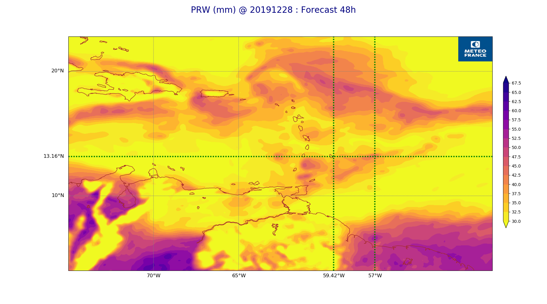
ARPEGE_map2D_PRW_20191228_fct_48.png
2019-12-28 12:03
234K
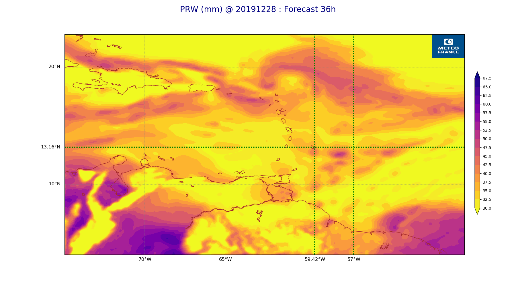
ARPEGE_map2D_PRW_20191228_fct_36.png
2019-12-28 12:03
240K
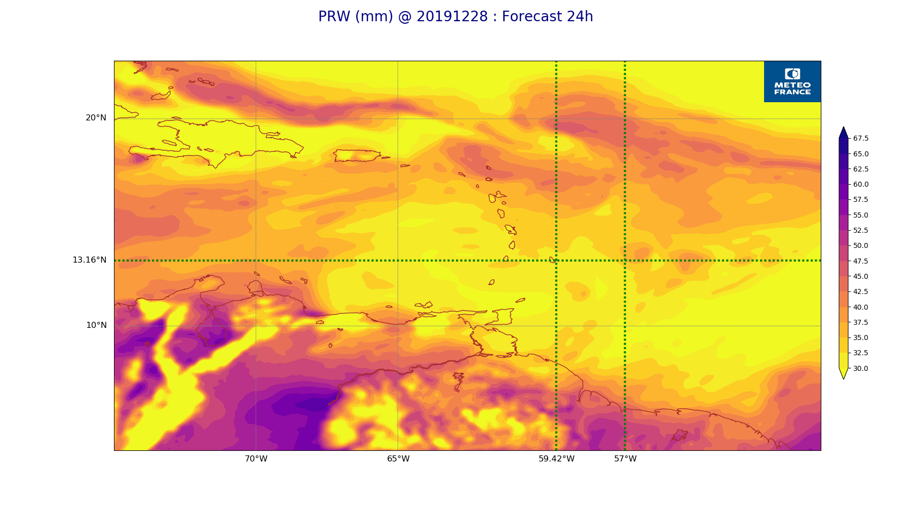
ARPEGE_map2D_PRW_20191228_fct_24.png
2019-12-28 12:03
237K
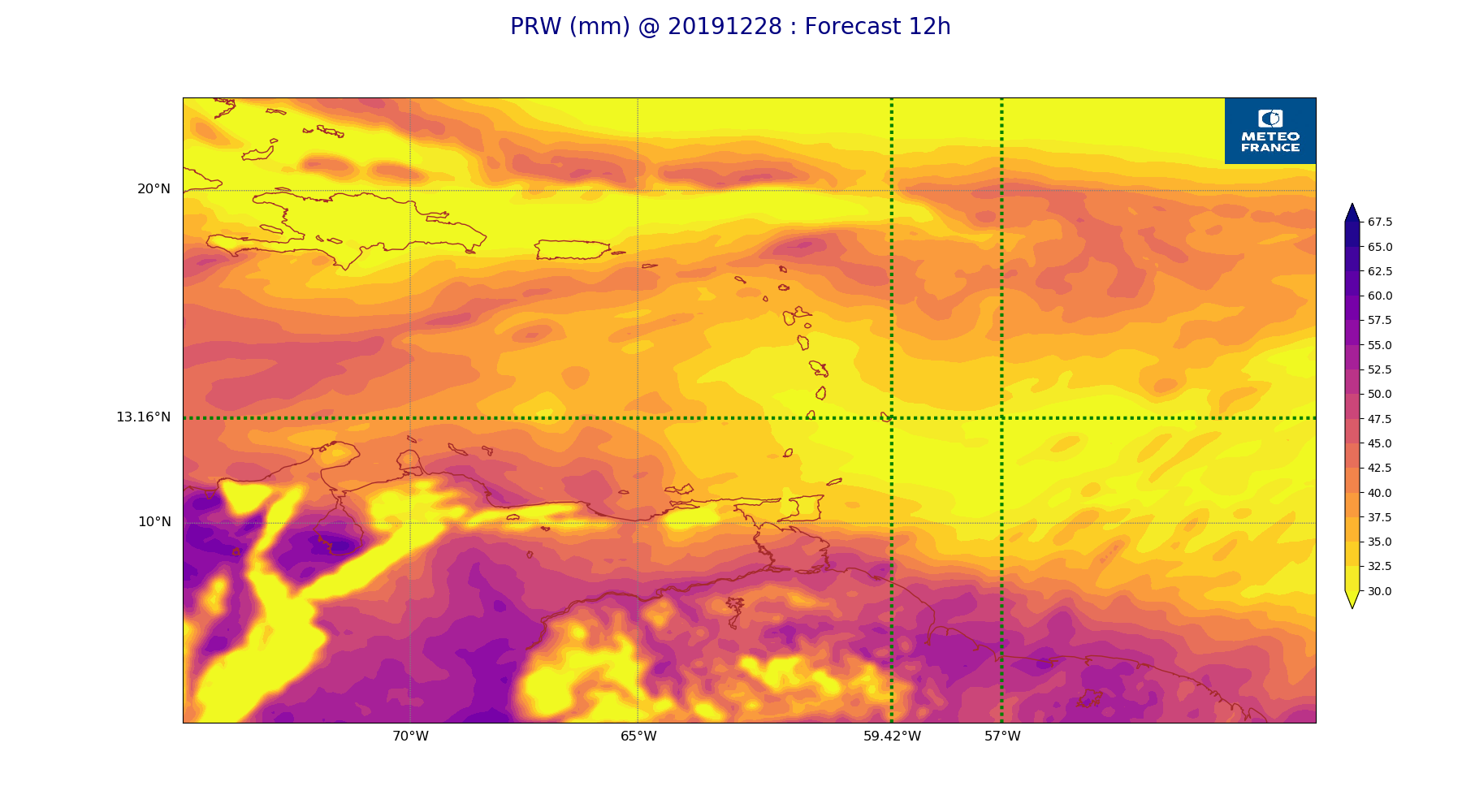
ARPEGE_map2D_PRW_20191228_fct_12.png
2019-12-28 12:03
238K
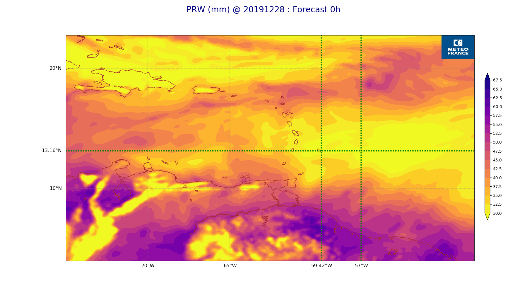
ARPEGE_map2D_PRW_20191228_fct_0.png
2019-12-28 12:02
238K
ARPEGE_map2D_Mid_CC_785_450hPa_20191228_fct_48.png
2019-12-28 12:01
366K
ARPEGE_map2D_Mid_CC_785_450hPa_20191228_fct_36.png
2019-12-28 12:01
379K
ARPEGE_map2D_Mid_CC_785_450hPa_20191228_fct_24.png
2019-12-28 12:01
399K
ARPEGE_map2D_Mid_CC_785_450hPa_20191228_fct_12.png
2019-12-28 12:00
384K
ARPEGE_map2D_Mid_CC_785_450hPa_20191228_fct_0.png
2019-12-28 12:00
168K
ARPEGE_map2D_Low_CC_inf_785hPa_20191228_fct_48.png
2019-12-28 12:00
385K
ARPEGE_map2D_Low_CC_inf_785hPa_20191228_fct_36.png
2019-12-28 12:00
389K
ARPEGE_map2D_Low_CC_inf_785hPa_20191228_fct_24.png
2019-12-28 12:00
343K
ARPEGE_map2D_Low_CC_inf_785hPa_20191228_fct_12.png
2019-12-28 12:00
343K
ARPEGE_map2D_Low_CC_inf_785hPa_20191228_fct_0.png
2019-12-28 12:00
167K
ARPEGE_map2D_LWP_20191228_fct_48.png
2019-12-28 12:05
141K
ARPEGE_map2D_LWP_20191228_fct_36.png
2019-12-28 12:05
141K
ARPEGE_map2D_LWP_20191228_fct_24.png
2019-12-28 12:05
141K
ARPEGE_map2D_LWP_20191228_fct_12.png
2019-12-28 12:05
141K
ARPEGE_map2D_LWP_20191228_fct_0.png
2019-12-28 12:04
141K
ARPEGE_map2D_IWP_20191228_fct_48.png
2019-12-28 12:06
151K
ARPEGE_map2D_IWP_20191228_fct_36.png
2019-12-28 12:05
151K
ARPEGE_map2D_IWP_20191228_fct_24.png
2019-12-28 12:05
151K
ARPEGE_map2D_IWP_20191228_fct_12.png
2019-12-28 12:05
151K
ARPEGE_map2D_IWP_20191228_fct_0.png
2019-12-28 12:05
151K
ARPEGE_map2D_High_CC_sup_450hPa_20191228_fct_48.png
2019-12-28 12:02
292K
ARPEGE_map2D_High_CC_sup_450hPa_20191228_fct_36.png
2019-12-28 12:01
248K
ARPEGE_map2D_High_CC_sup_450hPa_20191228_fct_24.png
2019-12-28 12:01
250K
ARPEGE_map2D_High_CC_sup_450hPa_20191228_fct_12.png
2019-12-28 12:01
229K
ARPEGE_map2D_High_CC_sup_450hPa_20191228_fct_0.png
2019-12-28 12:01
167K
ARPEGE_map2D_Geopotential_0_7_PVU_20191228_fct_48.png
2019-12-28 12:00
203K
ARPEGE_map2D_Geopotential_0_7_PVU_20191228_fct_36.png
2019-12-28 11:59
204K
ARPEGE_map2D_Geopotential_0_7_PVU_20191228_fct_24.png
2019-12-28 11:59
209K
ARPEGE_map2D_Geopotential_0_7_PVU_20191228_fct_12.png
2019-12-28 11:59
195K
ARPEGE_map2D_Geopotential_0_7_PVU_20191228_fct_0.png
2019-12-28 11:59
198K
ARPEGE_map2D_Fraction_cloud_cover_925hPa_20191228_fct_48.png
2019-12-28 11:57
563K
ARPEGE_map2D_Fraction_cloud_cover_925hPa_20191228_fct_36.png
2019-12-28 11:57
621K
ARPEGE_map2D_Fraction_cloud_cover_925hPa_20191228_fct_24.png
2019-12-28 11:56
584K
ARPEGE_map2D_Fraction_cloud_cover_925hPa_20191228_fct_12.png
2019-12-28 11:56
616K
ARPEGE_map2D_Fraction_cloud_cover_925hPa_20191228_fct_0.png
2019-12-28 11:56
161K
ARPEGE_map2D_Fraction_cloud_cover_850hPa_20191228_fct_48.png
2019-12-28 11:57
547K
ARPEGE_map2D_Fraction_cloud_cover_850hPa_20191228_fct_36.png
2019-12-28 11:57
579K
ARPEGE_map2D_Fraction_cloud_cover_850hPa_20191228_fct_24.png
2019-12-28 11:56
558K
ARPEGE_map2D_Fraction_cloud_cover_850hPa_20191228_fct_12.png
2019-12-28 11:56
535K
ARPEGE_map2D_Fraction_cloud_cover_850hPa_20191228_fct_0.png
2019-12-28 11:56
161K
ARPEGE_map2D_Fraction_cloud_cover_500hPa_20191228_fct_48.png
2019-12-28 11:57
284K
ARPEGE_map2D_Fraction_cloud_cover_500hPa_20191228_fct_36.png
2019-12-28 11:56
278K
ARPEGE_map2D_Fraction_cloud_cover_500hPa_20191228_fct_24.png
2019-12-28 11:56
280K
ARPEGE_map2D_Fraction_cloud_cover_500hPa_20191228_fct_12.png
2019-12-28 11:56
331K
ARPEGE_map2D_Fraction_cloud_cover_500hPa_20191228_fct_0.png
2019-12-28 11:56
161K
ARPEGE_map2D_Fraction_cloud_cover_200hPa_20191228_fct_48.png
2019-12-28 11:57
294K
ARPEGE_map2D_Fraction_cloud_cover_200hPa_20191228_fct_36.png
2019-12-28 11:56
280K
ARPEGE_map2D_Fraction_cloud_cover_200hPa_20191228_fct_24.png
2019-12-28 11:56
313K
ARPEGE_map2D_Fraction_cloud_cover_200hPa_20191228_fct_12.png
2019-12-28 11:56
288K
ARPEGE_map2D_Fraction_cloud_cover_200hPa_20191228_fct_0.png
2019-12-28 11:56
161K
ARPEGE_map2D_Cum_3h_RAIN_20191228_fct_48.png
2019-12-28 12:02
179K
ARPEGE_map2D_Cum_3h_RAIN_20191228_fct_36.png
2019-12-28 12:02
217K
ARPEGE_map2D_Cum_3h_RAIN_20191228_fct_24.png
2019-12-28 12:02
175K
ARPEGE_map2D_Cum_3h_RAIN_20191228_fct_12.png
2019-12-28 12:02
180K
ARPEGE_map2D_Cum_3h_RAIN_20191228_fct_0.png
2019-12-28 12:02
151K
ARPEGE_map2D_CAPE_20191228_fct_48.png
2019-12-28 12:07
215K
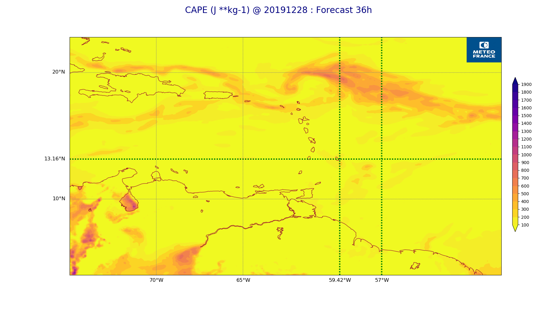
ARPEGE_map2D_CAPE_20191228_fct_36.png
2019-12-28 12:07
208K
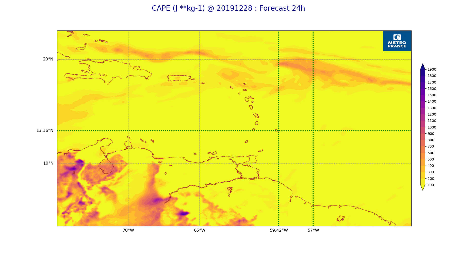
ARPEGE_map2D_CAPE_20191228_fct_24.png
2019-12-28 12:07
227K
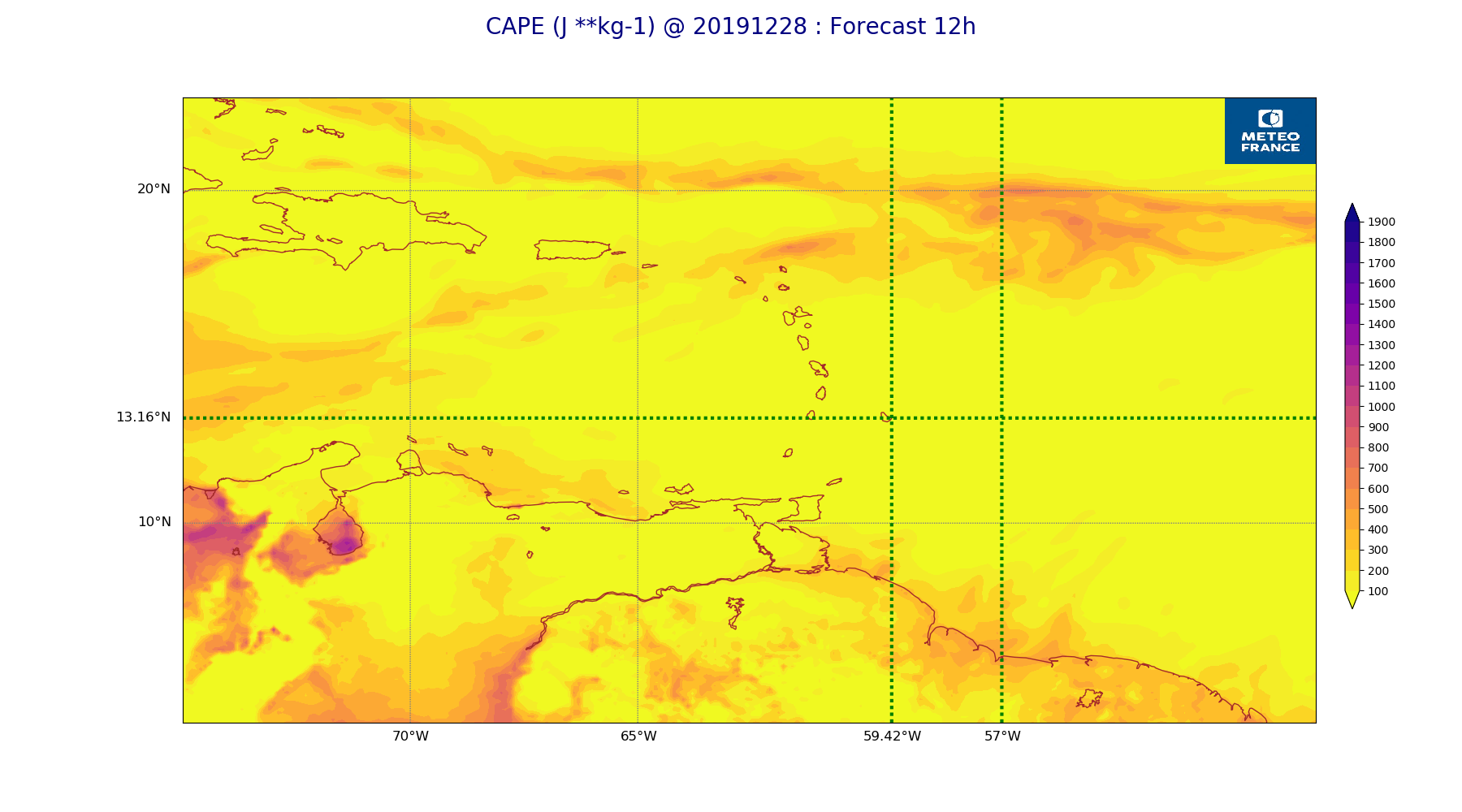
ARPEGE_map2D_CAPE_20191228_fct_12.png
2019-12-28 12:07
218K
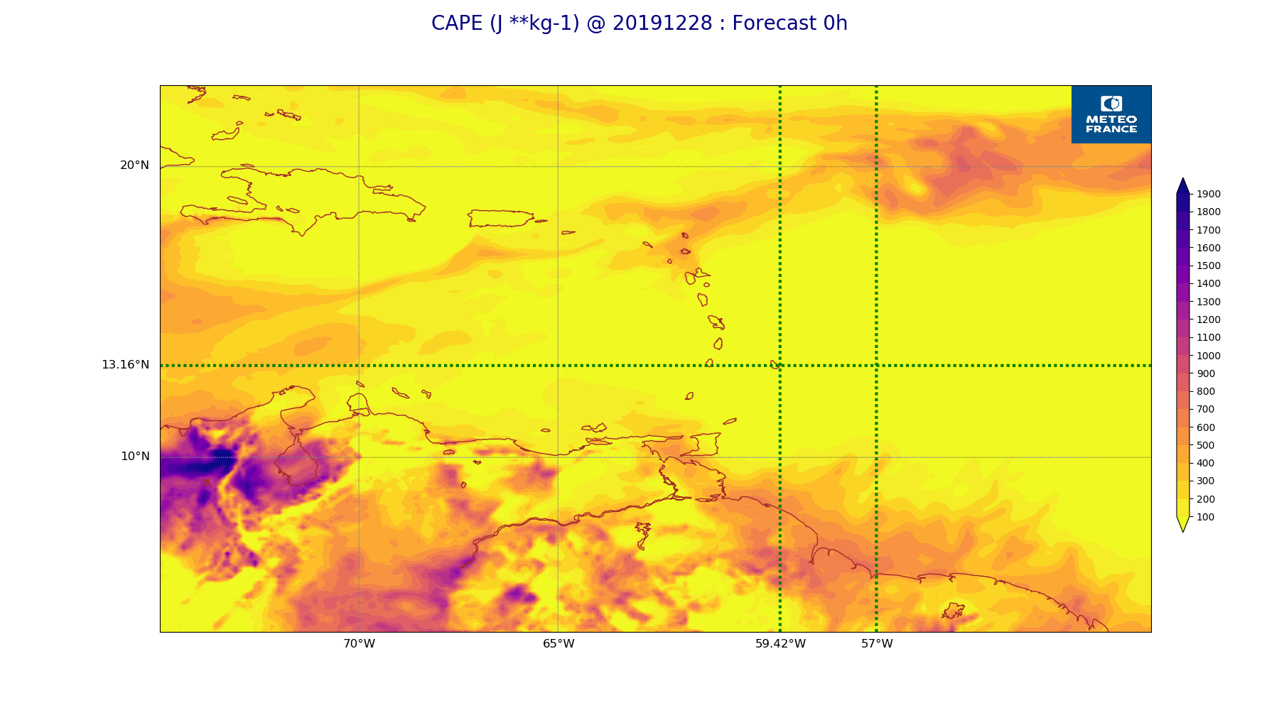
ARPEGE_map2D_CAPE_20191228_fct_0.png
2019-12-28 12:06
255K