Index of /aeris/eurec4a-data/FORECASTS/GLOBAL/ARPEGE/2019/20191229/map2D
Name
Last modified
Size
Parent Directory
-
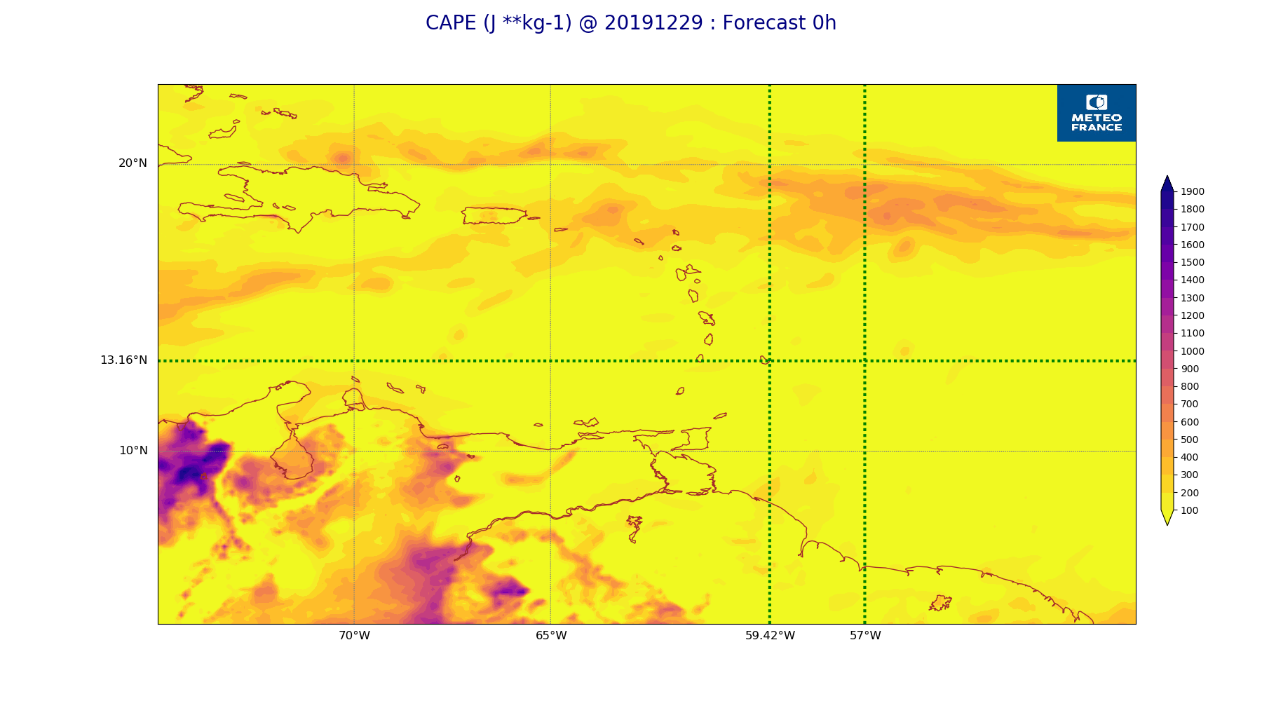
ARPEGE_map2D_CAPE_20191229_fct_0.png
2019-12-29 12:06
231K
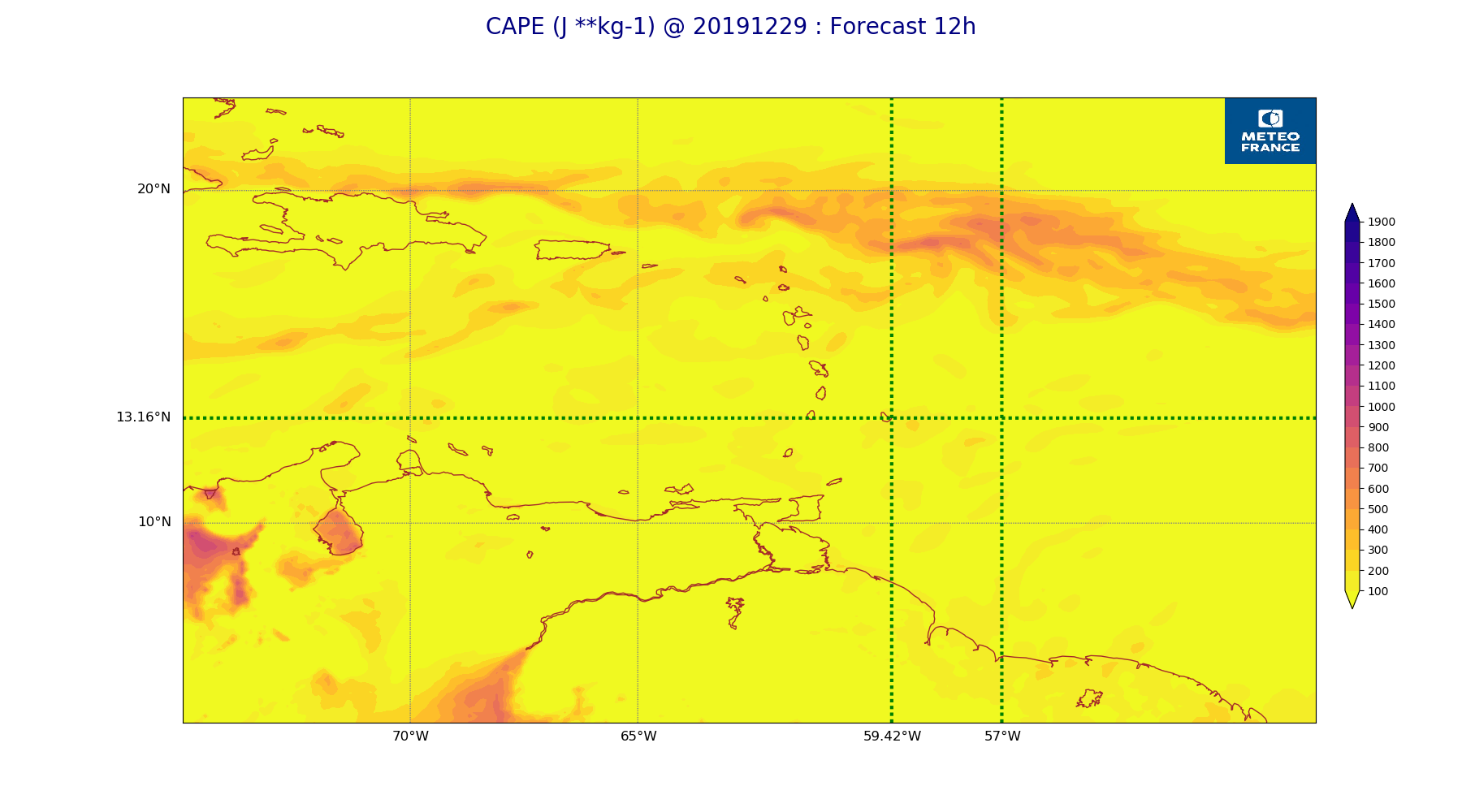
ARPEGE_map2D_CAPE_20191229_fct_12.png
2019-12-29 12:06
206K
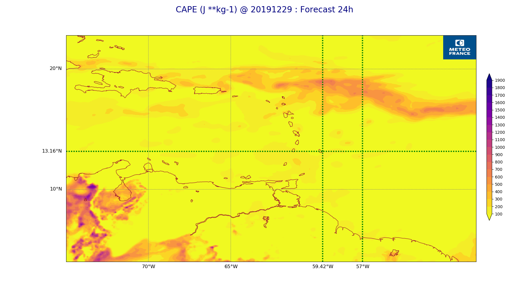
ARPEGE_map2D_CAPE_20191229_fct_24.png
2019-12-29 12:07
217K
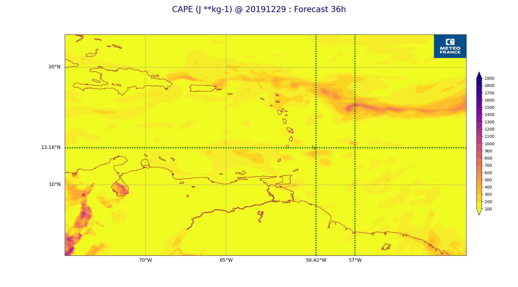
ARPEGE_map2D_CAPE_20191229_fct_36.png
2019-12-29 12:07
202K
ARPEGE_map2D_CAPE_20191229_fct_48.png
2019-12-29 12:07
207K
ARPEGE_map2D_Cum_3h_RAIN_20191229_fct_0.png
2019-12-29 12:02
151K
ARPEGE_map2D_Cum_3h_RAIN_20191229_fct_12.png
2019-12-29 12:02
200K
ARPEGE_map2D_Cum_3h_RAIN_20191229_fct_24.png
2019-12-29 12:02
228K
ARPEGE_map2D_Cum_3h_RAIN_20191229_fct_36.png
2019-12-29 12:02
189K
ARPEGE_map2D_Cum_3h_RAIN_20191229_fct_48.png
2019-12-29 12:02
183K
ARPEGE_map2D_Fraction_cloud_cover_200hPa_20191229_fct_0.png
2019-12-29 11:56
161K
ARPEGE_map2D_Fraction_cloud_cover_200hPa_20191229_fct_12.png
2019-12-29 11:56
302K
ARPEGE_map2D_Fraction_cloud_cover_200hPa_20191229_fct_24.png
2019-12-29 11:56
313K
ARPEGE_map2D_Fraction_cloud_cover_200hPa_20191229_fct_36.png
2019-12-29 11:56
297K
ARPEGE_map2D_Fraction_cloud_cover_200hPa_20191229_fct_48.png
2019-12-29 11:56
298K
ARPEGE_map2D_Fraction_cloud_cover_500hPa_20191229_fct_0.png
2019-12-29 11:56
161K
ARPEGE_map2D_Fraction_cloud_cover_500hPa_20191229_fct_12.png
2019-12-29 11:56
264K
ARPEGE_map2D_Fraction_cloud_cover_500hPa_20191229_fct_24.png
2019-12-29 11:56
272K
ARPEGE_map2D_Fraction_cloud_cover_500hPa_20191229_fct_36.png
2019-12-29 11:56
246K
ARPEGE_map2D_Fraction_cloud_cover_500hPa_20191229_fct_48.png
2019-12-29 11:57
242K
ARPEGE_map2D_Fraction_cloud_cover_850hPa_20191229_fct_0.png
2019-12-29 11:56
161K
ARPEGE_map2D_Fraction_cloud_cover_850hPa_20191229_fct_12.png
2019-12-29 11:56
598K
ARPEGE_map2D_Fraction_cloud_cover_850hPa_20191229_fct_24.png
2019-12-29 11:56
593K
ARPEGE_map2D_Fraction_cloud_cover_850hPa_20191229_fct_36.png
2019-12-29 11:56
600K
ARPEGE_map2D_Fraction_cloud_cover_850hPa_20191229_fct_48.png
2019-12-29 11:57
598K
ARPEGE_map2D_Fraction_cloud_cover_925hPa_20191229_fct_0.png
2019-12-29 11:56
161K
ARPEGE_map2D_Fraction_cloud_cover_925hPa_20191229_fct_12.png
2019-12-29 11:56
645K
ARPEGE_map2D_Fraction_cloud_cover_925hPa_20191229_fct_24.png
2019-12-29 11:56
560K
ARPEGE_map2D_Fraction_cloud_cover_925hPa_20191229_fct_36.png
2019-12-29 11:56
627K
ARPEGE_map2D_Fraction_cloud_cover_925hPa_20191229_fct_48.png
2019-12-29 11:57
564K
ARPEGE_map2D_Geopotential_0_7_PVU_20191229_fct_0.png
2019-12-29 11:59
204K
ARPEGE_map2D_Geopotential_0_7_PVU_20191229_fct_12.png
2019-12-29 11:59
192K
ARPEGE_map2D_Geopotential_0_7_PVU_20191229_fct_24.png
2019-12-29 11:59
191K
ARPEGE_map2D_Geopotential_0_7_PVU_20191229_fct_36.png
2019-12-29 11:59
196K
ARPEGE_map2D_Geopotential_0_7_PVU_20191229_fct_48.png
2019-12-29 11:59
191K
ARPEGE_map2D_High_CC_sup_450hPa_20191229_fct_0.png
2019-12-29 12:01
167K
ARPEGE_map2D_High_CC_sup_450hPa_20191229_fct_12.png
2019-12-29 12:01
270K
ARPEGE_map2D_High_CC_sup_450hPa_20191229_fct_24.png
2019-12-29 12:01
276K
ARPEGE_map2D_High_CC_sup_450hPa_20191229_fct_36.png
2019-12-29 12:01
278K
ARPEGE_map2D_High_CC_sup_450hPa_20191229_fct_48.png
2019-12-29 12:01
289K
ARPEGE_map2D_IWP_20191229_fct_0.png
2019-12-29 12:05
151K
ARPEGE_map2D_IWP_20191229_fct_12.png
2019-12-29 12:05
151K
ARPEGE_map2D_IWP_20191229_fct_24.png
2019-12-29 12:05
151K
ARPEGE_map2D_IWP_20191229_fct_36.png
2019-12-29 12:05
151K
ARPEGE_map2D_IWP_20191229_fct_48.png
2019-12-29 12:05
151K
ARPEGE_map2D_LWP_20191229_fct_0.png
2019-12-29 12:04
140K
ARPEGE_map2D_LWP_20191229_fct_12.png
2019-12-29 12:04
141K
ARPEGE_map2D_LWP_20191229_fct_24.png
2019-12-29 12:05
141K
ARPEGE_map2D_LWP_20191229_fct_36.png
2019-12-29 12:05
141K
ARPEGE_map2D_LWP_20191229_fct_48.png
2019-12-29 12:05
141K
ARPEGE_map2D_Low_CC_inf_785hPa_20191229_fct_0.png
2019-12-29 12:00
167K
ARPEGE_map2D_Low_CC_inf_785hPa_20191229_fct_12.png
2019-12-29 12:00
384K
ARPEGE_map2D_Low_CC_inf_785hPa_20191229_fct_24.png
2019-12-29 12:00
396K
ARPEGE_map2D_Low_CC_inf_785hPa_20191229_fct_36.png
2019-12-29 12:00
391K
ARPEGE_map2D_Low_CC_inf_785hPa_20191229_fct_48.png
2019-12-29 12:00
382K
ARPEGE_map2D_Mid_CC_785_450hPa_20191229_fct_0.png
2019-12-29 12:00
168K
ARPEGE_map2D_Mid_CC_785_450hPa_20191229_fct_12.png
2019-12-29 12:00
410K
ARPEGE_map2D_Mid_CC_785_450hPa_20191229_fct_24.png
2019-12-29 12:01
406K
ARPEGE_map2D_Mid_CC_785_450hPa_20191229_fct_36.png
2019-12-29 12:01
392K
ARPEGE_map2D_Mid_CC_785_450hPa_20191229_fct_48.png
2019-12-29 12:01
400K
ARPEGE_map2D_PRW_20191229_fct_0.png
2019-12-29 12:02
240K
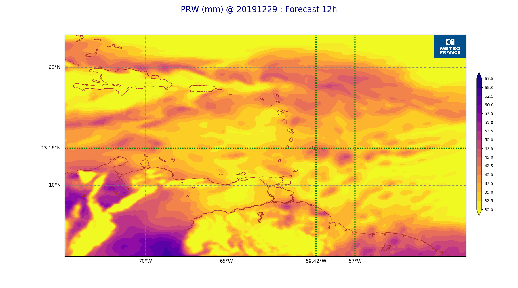
ARPEGE_map2D_PRW_20191229_fct_12.png
2019-12-29 12:02
240K
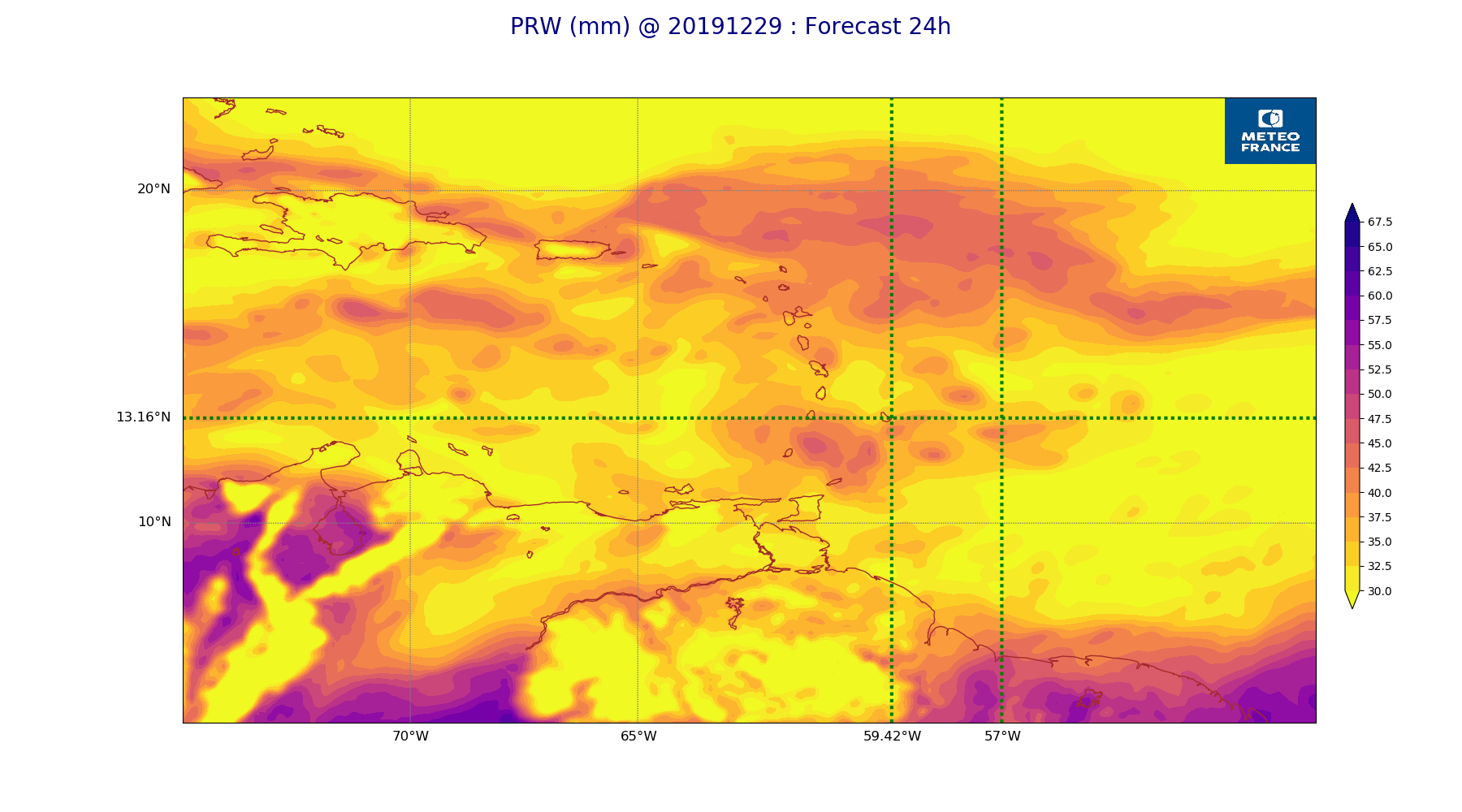
ARPEGE_map2D_PRW_20191229_fct_24.png
2019-12-29 12:03
236K
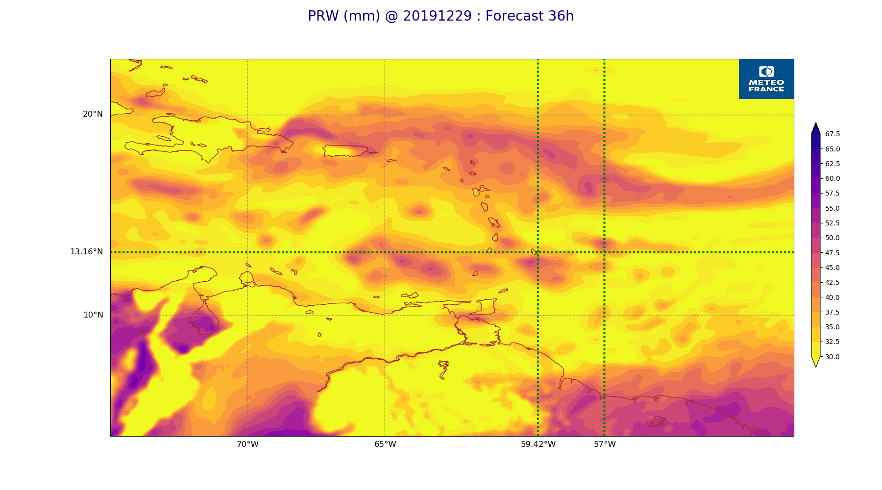
ARPEGE_map2D_PRW_20191229_fct_36.png
2019-12-29 12:03
234K
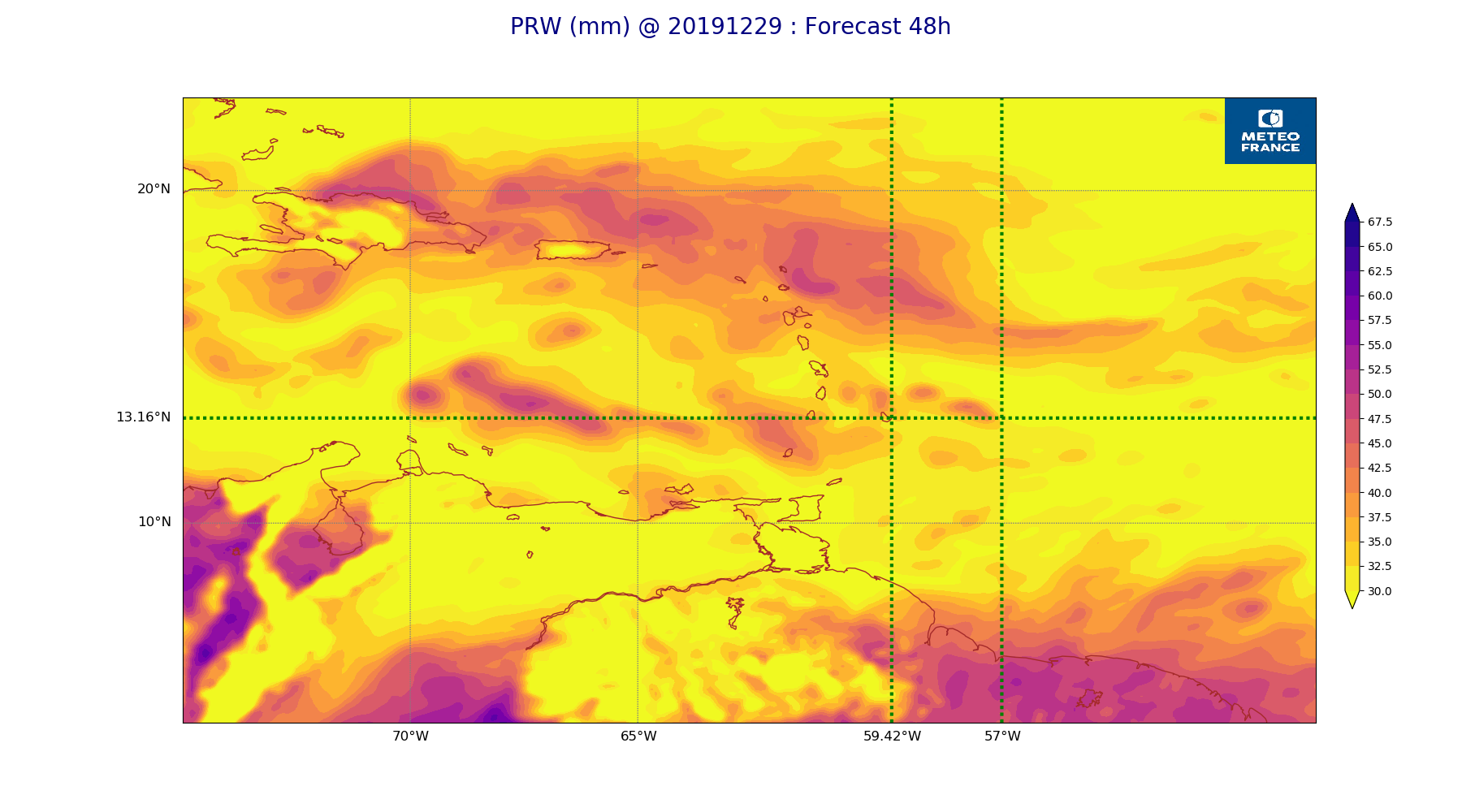
ARPEGE_map2D_PRW_20191229_fct_48.png
2019-12-29 12:03
237K
ARPEGE_map2D_Psfc_20191229_fct_0.png
2019-12-29 12:06
147K
ARPEGE_map2D_Psfc_20191229_fct_12.png
2019-12-29 12:06
147K
ARPEGE_map2D_Psfc_20191229_fct_24.png
2019-12-29 12:06
147K
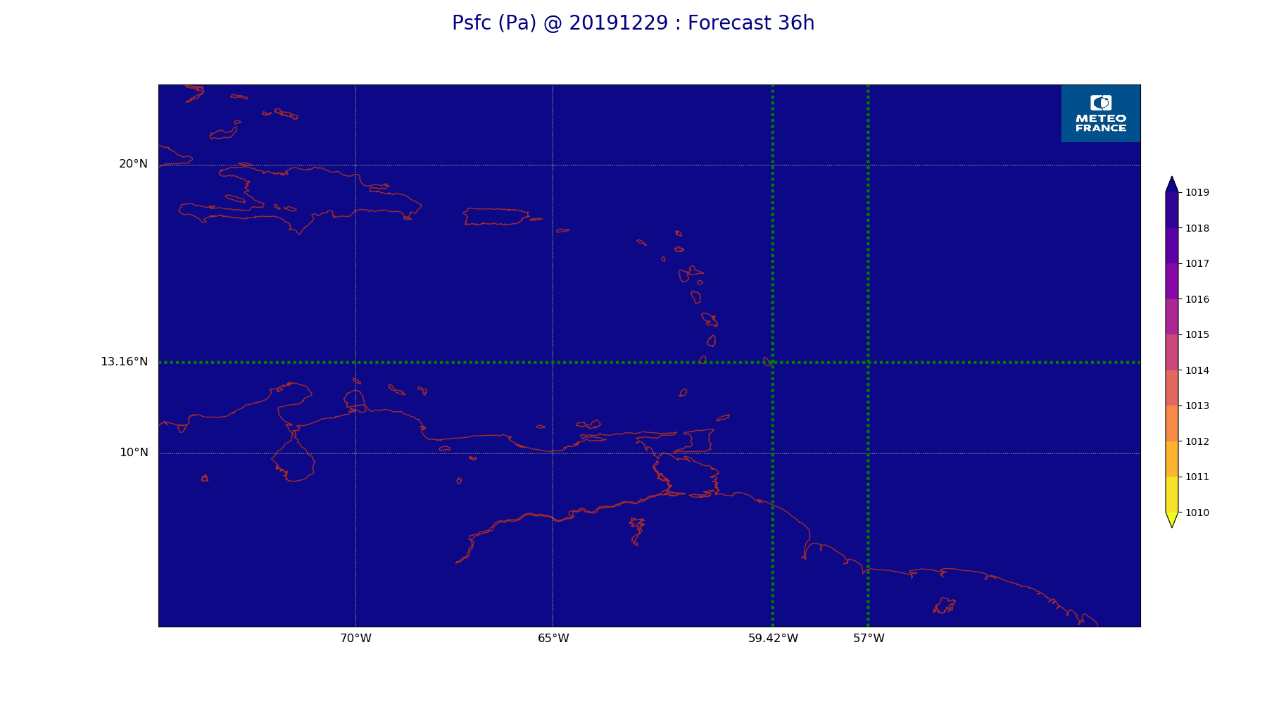
ARPEGE_map2D_Psfc_20191229_fct_36.png
2019-12-29 12:06
148K
ARPEGE_map2D_Psfc_20191229_fct_48.png
2019-12-29 12:06
148K
ARPEGE_map2D_RH_500hPa_20191229_fct_0.png
2019-12-29 11:58
200K
ARPEGE_map2D_RH_500hPa_20191229_fct_12.png
2019-12-29 11:58
189K
ARPEGE_map2D_RH_500hPa_20191229_fct_24.png
2019-12-29 11:58
183K
ARPEGE_map2D_RH_500hPa_20191229_fct_36.png
2019-12-29 11:58
181K
ARPEGE_map2D_RH_500hPa_20191229_fct_48.png
2019-12-29 11:58
179K
ARPEGE_map2D_RH_700hPa_20191229_fct_0.png
2019-12-29 11:58
267K
ARPEGE_map2D_RH_700hPa_20191229_fct_12.png
2019-12-29 11:58
269K
ARPEGE_map2D_RH_700hPa_20191229_fct_24.png
2019-12-29 11:58
276K
ARPEGE_map2D_RH_700hPa_20191229_fct_36.png
2019-12-29 11:58
278K
ARPEGE_map2D_RH_700hPa_20191229_fct_48.png
2019-12-29 11:58
279K
ARPEGE_map2D_RH_850hPa_20191229_fct_0.png
2019-12-29 11:58
277K
ARPEGE_map2D_RH_850hPa_20191229_fct_12.png
2019-12-29 11:58
290K
ARPEGE_map2D_RH_850hPa_20191229_fct_24.png
2019-12-29 11:58
299K
ARPEGE_map2D_RH_850hPa_20191229_fct_36.png
2019-12-29 11:58
294K
ARPEGE_map2D_RH_850hPa_20191229_fct_48.png
2019-12-29 11:58
297K
ARPEGE_map2D_T_500hPa_20191229_fct_0.png
2019-12-29 11:57
165K
ARPEGE_map2D_T_500hPa_20191229_fct_12.png
2019-12-29 11:57
167K
ARPEGE_map2D_T_500hPa_20191229_fct_24.png
2019-12-29 11:57
163K
ARPEGE_map2D_T_500hPa_20191229_fct_36.png
2019-12-29 11:57
169K
ARPEGE_map2D_T_500hPa_20191229_fct_48.png
2019-12-29 11:58
162K
ARPEGE_map2D_T_850hPa_20191229_fct_0.png
2019-12-29 11:57
170K
ARPEGE_map2D_T_850hPa_20191229_fct_12.png
2019-12-29 11:57
177K
ARPEGE_map2D_T_850hPa_20191229_fct_24.png
2019-12-29 11:57
174K
ARPEGE_map2D_T_850hPa_20191229_fct_36.png
2019-12-29 11:57
178K
ARPEGE_map2D_T_850hPa_20191229_fct_48.png
2019-12-29 11:58
175K
ARPEGE_map2D_T_925hPa_20191229_fct_0.png
2019-12-29 11:57
179K
ARPEGE_map2D_T_925hPa_20191229_fct_12.png
2019-12-29 11:57
185K
ARPEGE_map2D_T_925hPa_20191229_fct_24.png
2019-12-29 11:57
179K
ARPEGE_map2D_T_925hPa_20191229_fct_36.png
2019-12-29 11:57
184K
ARPEGE_map2D_T_925hPa_20191229_fct_48.png
2019-12-29 11:58
182K
ARPEGE_map2D_U_200hPa_20191229_fct_0.png
2019-12-29 11:55
165K
ARPEGE_map2D_U_200hPa_20191229_fct_12.png
2019-12-29 11:55
160K
ARPEGE_map2D_U_200hPa_20191229_fct_24.png
2019-12-29 11:55
167K
ARPEGE_map2D_U_200hPa_20191229_fct_36.png
2019-12-29 11:55
174K
ARPEGE_map2D_U_200hPa_20191229_fct_48.png
2019-12-29 11:55
177K
ARPEGE_map2D_U_500hPa_20191229_fct_0.png
2019-12-29 11:55
186K
ARPEGE_map2D_U_500hPa_20191229_fct_12.png
2019-12-29 11:55
190K
ARPEGE_map2D_U_500hPa_20191229_fct_24.png
2019-12-29 11:55
191K
ARPEGE_map2D_U_500hPa_20191229_fct_36.png
2019-12-29 11:55
189K
ARPEGE_map2D_U_500hPa_20191229_fct_48.png
2019-12-29 11:55
184K
ARPEGE_map2D_U_850hPa_20191229_fct_0.png
2019-12-29 11:55
208K
ARPEGE_map2D_U_850hPa_20191229_fct_12.png
2019-12-29 11:55
207K
ARPEGE_map2D_U_850hPa_20191229_fct_24.png
2019-12-29 11:55
211K
ARPEGE_map2D_U_850hPa_20191229_fct_36.png
2019-12-29 11:55
211K
ARPEGE_map2D_U_850hPa_20191229_fct_48.png
2019-12-29 11:55
214K
ARPEGE_map2D_U_925hPa_20191229_fct_0.png
2019-12-29 11:55
199K
ARPEGE_map2D_U_925hPa_20191229_fct_12.png
2019-12-29 11:55
201K
ARPEGE_map2D_U_925hPa_20191229_fct_24.png
2019-12-29 11:55
201K
ARPEGE_map2D_U_925hPa_20191229_fct_36.png
2019-12-29 11:55
206K
ARPEGE_map2D_U_925hPa_20191229_fct_48.png
2019-12-29 11:55
203K
ARPEGE_map2D_V_200hPa_20191229_fct_0.png
2019-12-29 11:55
200K
ARPEGE_map2D_V_200hPa_20191229_fct_12.png
2019-12-29 11:55
195K
ARPEGE_map2D_V_200hPa_20191229_fct_24.png
2019-12-29 11:56
191K
ARPEGE_map2D_V_200hPa_20191229_fct_36.png
2019-12-29 11:56
192K
ARPEGE_map2D_V_200hPa_20191229_fct_48.png
2019-12-29 11:56
189K
ARPEGE_map2D_V_500hPa_20191229_fct_0.png
2019-12-29 11:55
211K
ARPEGE_map2D_V_500hPa_20191229_fct_12.png
2019-12-29 11:55
216K
ARPEGE_map2D_V_500hPa_20191229_fct_24.png
2019-12-29 11:56
210K
ARPEGE_map2D_V_500hPa_20191229_fct_36.png
2019-12-29 11:56
203K
ARPEGE_map2D_V_500hPa_20191229_fct_48.png
2019-12-29 11:56
202K
ARPEGE_map2D_V_850hPa_20191229_fct_0.png
2019-12-29 11:55
257K
ARPEGE_map2D_V_850hPa_20191229_fct_12.png
2019-12-29 11:55
261K
ARPEGE_map2D_V_850hPa_20191229_fct_24.png
2019-12-29 11:56
265K
ARPEGE_map2D_V_850hPa_20191229_fct_36.png
2019-12-29 11:56
269K
ARPEGE_map2D_V_850hPa_20191229_fct_48.png
2019-12-29 11:56
270K
ARPEGE_map2D_V_925hPa_20191229_fct_0.png
2019-12-29 11:55
246K
ARPEGE_map2D_V_925hPa_20191229_fct_12.png
2019-12-29 11:55
246K
ARPEGE_map2D_V_925hPa_20191229_fct_24.png
2019-12-29 11:56
251K
ARPEGE_map2D_V_925hPa_20191229_fct_36.png
2019-12-29 11:56
251K
ARPEGE_map2D_V_925hPa_20191229_fct_48.png
2019-12-29 11:56
250K
ARPEGE_map2D_Vertical_velocity_500hPa_20191229_fct_0.png
2019-12-29 11:54
229K
ARPEGE_map2D_Vertical_velocity_500hPa_20191229_fct_12.png
2019-12-29 11:54
235K
ARPEGE_map2D_Vertical_velocity_500hPa_20191229_fct_24.png
2019-12-29 11:54
235K
ARPEGE_map2D_Vertical_velocity_500hPa_20191229_fct_36.png
2019-12-29 11:54
241K
ARPEGE_map2D_Vertical_velocity_500hPa_20191229_fct_48.png
2019-12-29 11:54
231K
ARPEGE_map2D_Vertical_velocity_700hPa_20191229_fct_0.png
2019-12-29 11:54
261K
ARPEGE_map2D_Vertical_velocity_700hPa_20191229_fct_12.png
2019-12-29 11:54
275K
ARPEGE_map2D_Vertical_velocity_700hPa_20191229_fct_24.png
2019-12-29 11:54
269K
ARPEGE_map2D_Vertical_velocity_700hPa_20191229_fct_36.png
2019-12-29 11:54
274K
ARPEGE_map2D_Vertical_velocity_700hPa_20191229_fct_48.png
2019-12-29 11:55
266K
ARPEGE_map2D_Vertical_velocity_850hPa_20191229_fct_0.png
2019-12-29 11:54
288K
ARPEGE_map2D_Vertical_velocity_850hPa_20191229_fct_12.png
2019-12-29 11:54
297K
ARPEGE_map2D_Vertical_velocity_850hPa_20191229_fct_24.png
2019-12-29 11:54
297K
ARPEGE_map2D_Vertical_velocity_850hPa_20191229_fct_36.png
2019-12-29 11:54
302K
ARPEGE_map2D_Vertical_velocity_850hPa_20191229_fct_48.png
2019-12-29 11:55
300K
ARPEGE_map2D_qv_500hPa_20191229_fct_0.png
2019-12-29 11:58
157K
ARPEGE_map2D_qv_500hPa_20191229_fct_12.png
2019-12-29 11:58
157K
ARPEGE_map2D_qv_500hPa_20191229_fct_24.png
2019-12-29 11:58
158K
ARPEGE_map2D_qv_500hPa_20191229_fct_36.png
2019-12-29 11:59
158K
ARPEGE_map2D_qv_500hPa_20191229_fct_48.png
2019-12-29 11:59
158K
ARPEGE_map2D_qv_850hPa_20191229_fct_0.png
2019-12-29 11:58
244K
ARPEGE_map2D_qv_850hPa_20191229_fct_12.png
2019-12-29 11:58
248K
ARPEGE_map2D_qv_850hPa_20191229_fct_24.png
2019-12-29 11:59
255K
ARPEGE_map2D_qv_850hPa_20191229_fct_36.png
2019-12-29 11:59
251K
ARPEGE_map2D_qv_850hPa_20191229_fct_48.png
2019-12-29 11:59
253K
ARPEGE_map2D_qv_925hPa_20191229_fct_0.png
2019-12-29 11:58
237K
ARPEGE_map2D_qv_925hPa_20191229_fct_12.png
2019-12-29 11:58
238K
ARPEGE_map2D_qv_925hPa_20191229_fct_24.png
2019-12-29 11:59
237K
ARPEGE_map2D_qv_925hPa_20191229_fct_36.png
2019-12-29 11:59
243K
ARPEGE_map2D_qv_925hPa_20191229_fct_48.png
2019-12-29 11:59
243K
ARPEGE_map2D_theta_500hPa_20191229_fct_0.png
2019-12-29 11:57
165K
ARPEGE_map2D_theta_500hPa_20191229_fct_12.png
2019-12-29 11:57
165K
ARPEGE_map2D_theta_500hPa_20191229_fct_24.png
2019-12-29 11:57
162K
ARPEGE_map2D_theta_500hPa_20191229_fct_36.png
2019-12-29 11:57
165K
ARPEGE_map2D_theta_500hPa_20191229_fct_48.png
2019-12-29 11:57
162K
ARPEGE_map2D_theta_850hPa_20191229_fct_0.png
2019-12-29 11:57
168K
ARPEGE_map2D_theta_850hPa_20191229_fct_12.png
2019-12-29 11:57
177K
ARPEGE_map2D_theta_850hPa_20191229_fct_24.png
2019-12-29 11:57
173K
ARPEGE_map2D_theta_850hPa_20191229_fct_36.png
2019-12-29 11:57
177K
ARPEGE_map2D_theta_850hPa_20191229_fct_48.png
2019-12-29 11:57
174K
ARPEGE_map2D_theta_925hPa_20191229_fct_0.png
2019-12-29 11:57
180K
ARPEGE_map2D_theta_925hPa_20191229_fct_12.png
2019-12-29 11:57
185K
ARPEGE_map2D_theta_925hPa_20191229_fct_24.png
2019-12-29 11:57
179K
ARPEGE_map2D_theta_925hPa_20191229_fct_36.png
2019-12-29 11:57
190K
ARPEGE_map2D_theta_925hPa_20191229_fct_48.png
2019-12-29 11:57
182K
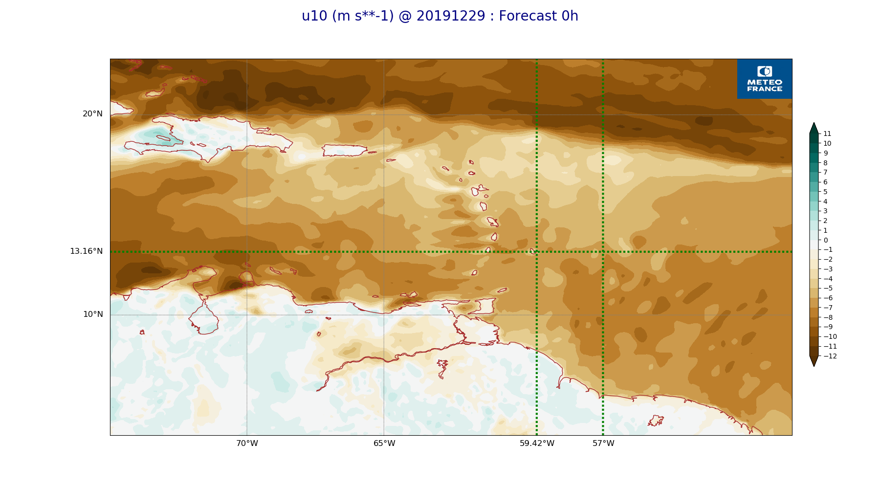
ARPEGE_map2D_u10_20191229_fct_0.png
2019-12-29 12:03
230K
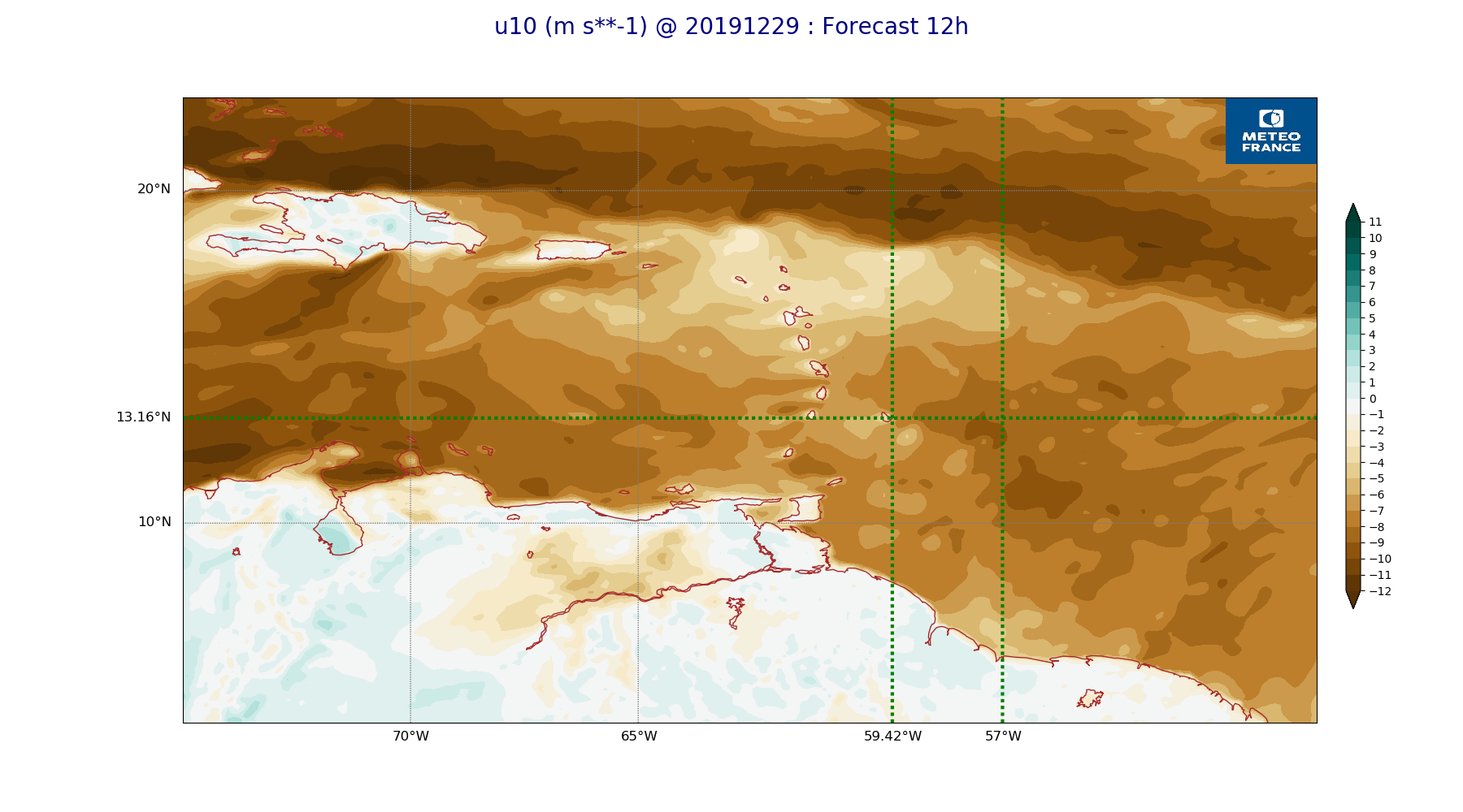
ARPEGE_map2D_u10_20191229_fct_12.png
2019-12-29 12:03
232K
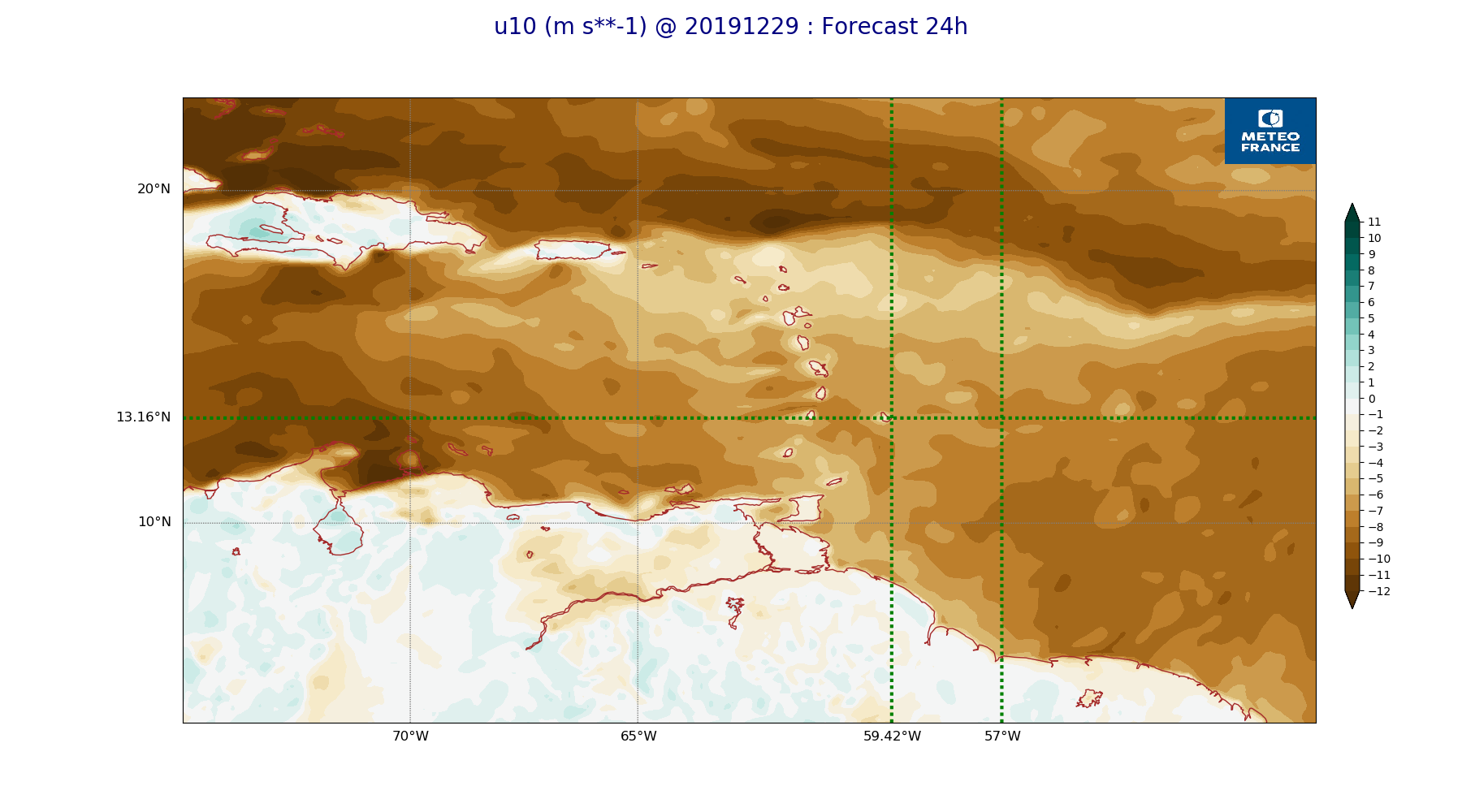
ARPEGE_map2D_u10_20191229_fct_24.png
2019-12-29 12:03
232K
ARPEGE_map2D_u10_20191229_fct_36.png
2019-12-29 12:03
236K
ARPEGE_map2D_u10_20191229_fct_48.png
2019-12-29 12:04
234K
ARPEGE_map2D_v10_20191229_fct_0.png
2019-12-29 12:04
220K
ARPEGE_map2D_v10_20191229_fct_12.png
2019-12-29 12:04
222K
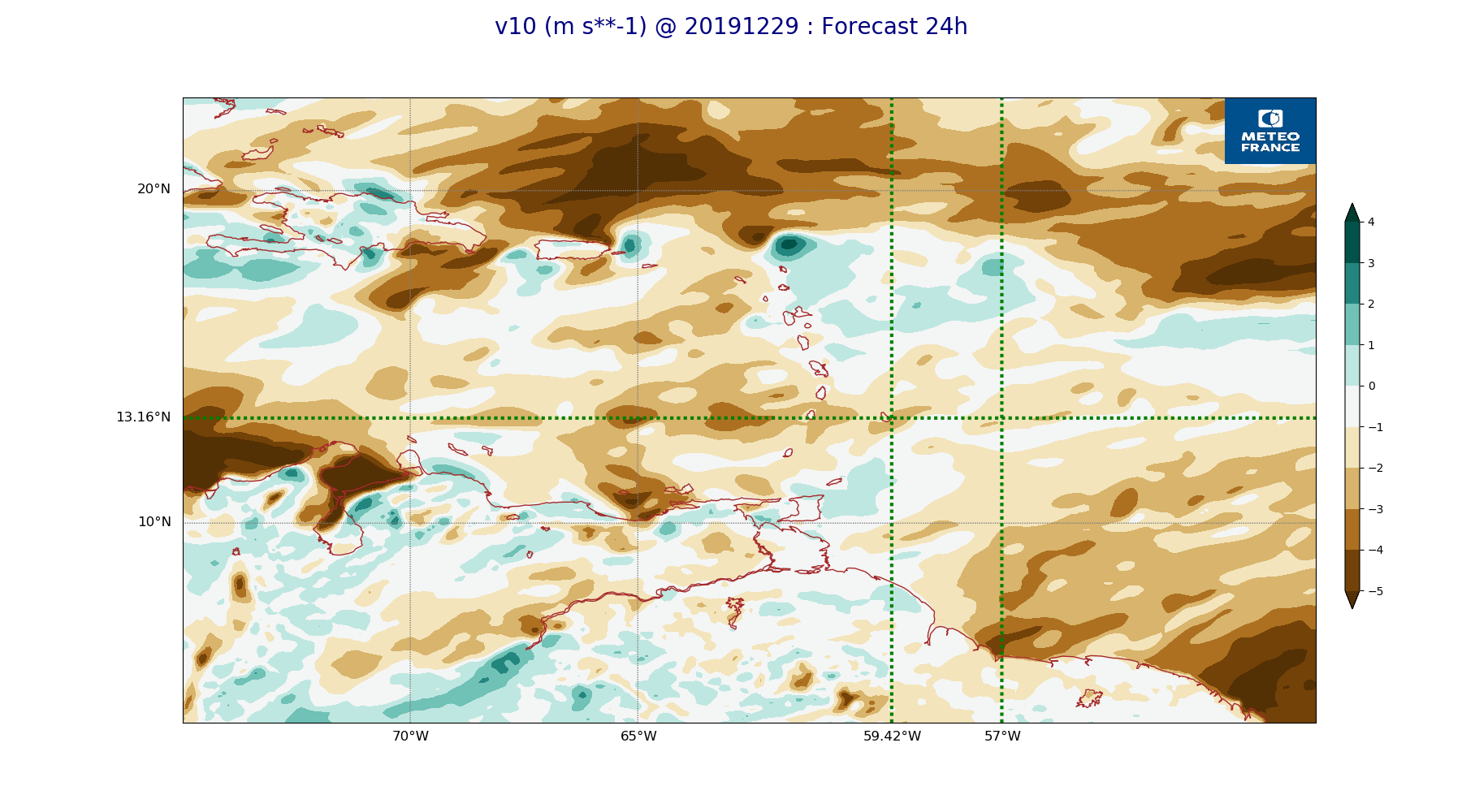
ARPEGE_map2D_v10_20191229_fct_24.png
2019-12-29 12:04
226K
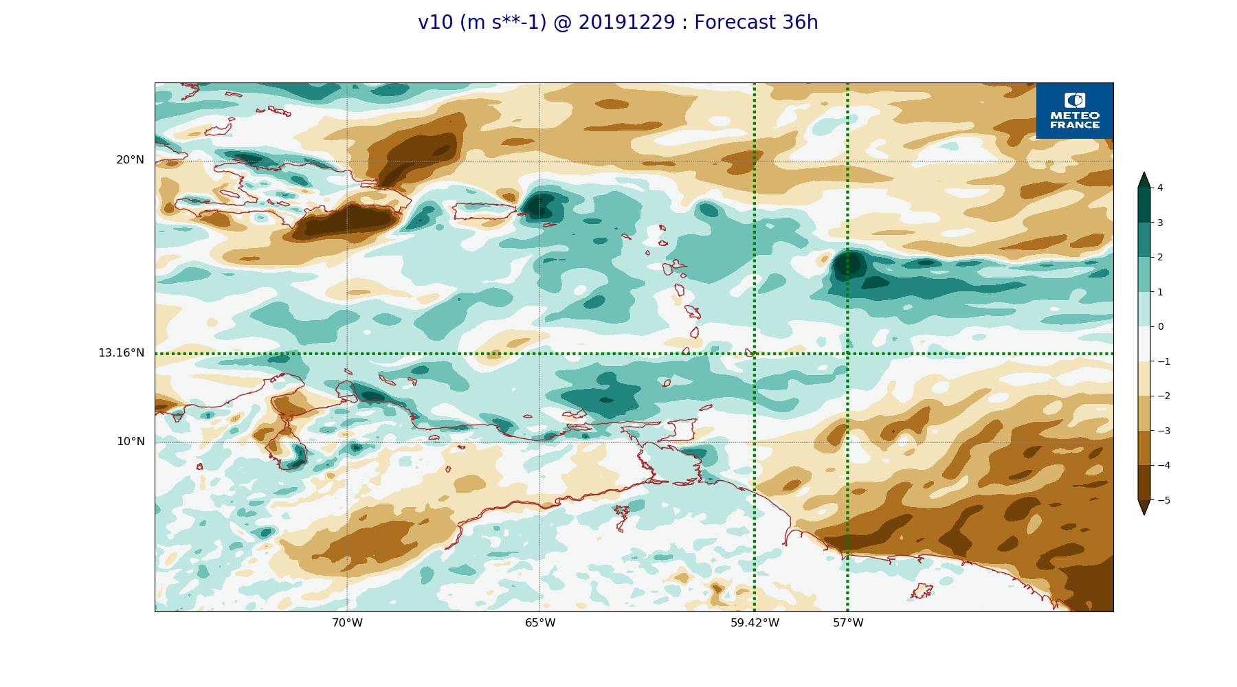
ARPEGE_map2D_v10_20191229_fct_36.png
2019-12-29 12:04
225K
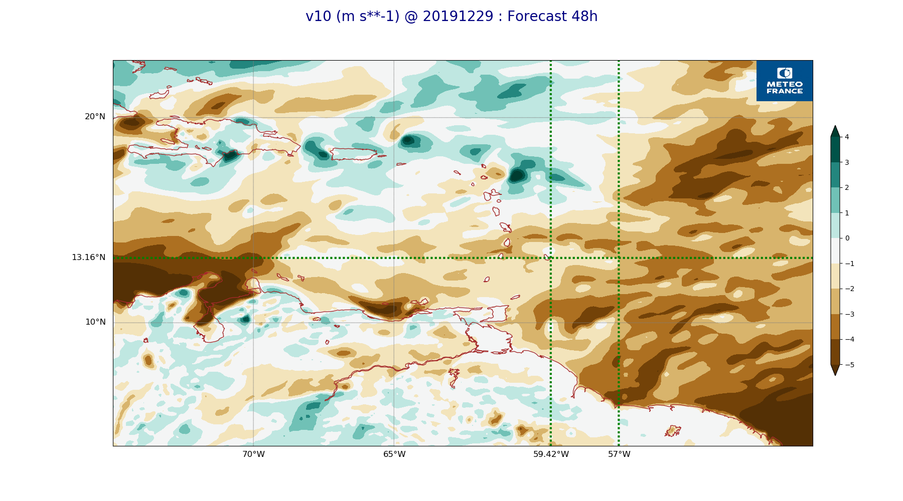
ARPEGE_map2D_v10_20191229_fct_48.png
2019-12-29 12:04
224K