Index of /aeris/eurec4a-data/FORECASTS/GLOBAL/ARPEGE/2019/20191230/map2D
Name
Last modified
Size
Parent Directory
-
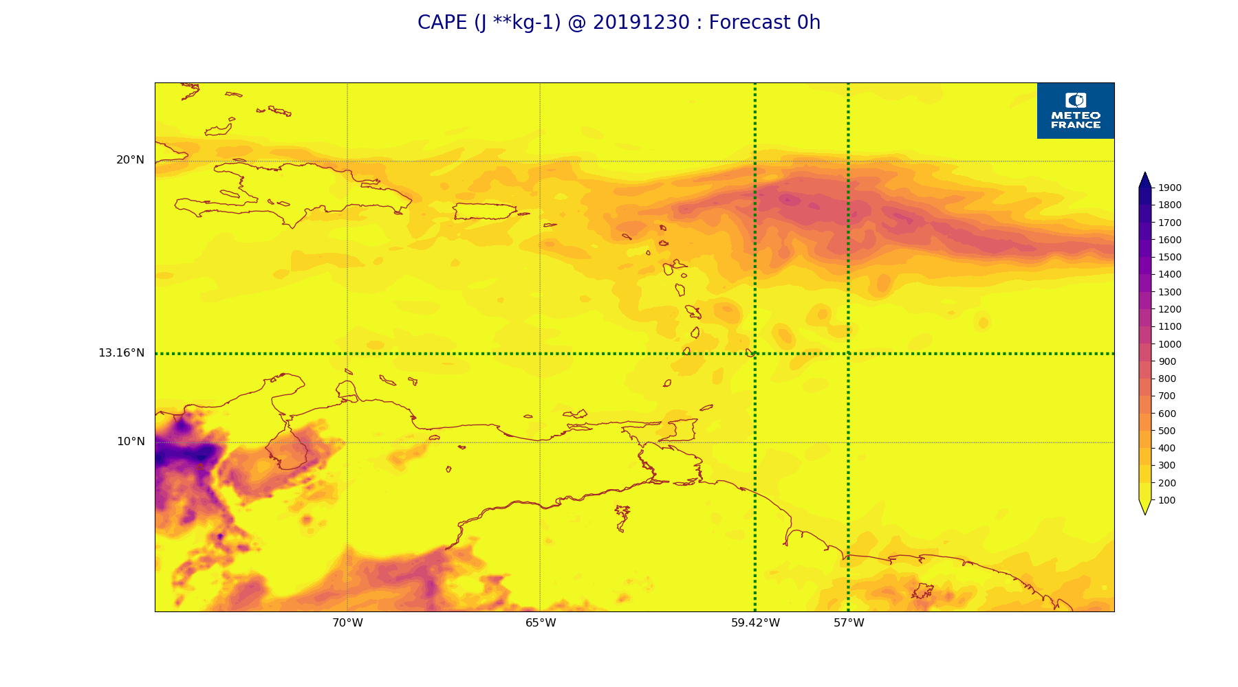
ARPEGE_map2D_CAPE_20191230_fct_0.png
2019-12-30 12:06
225K
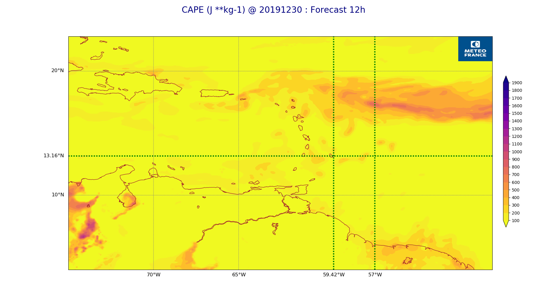
ARPEGE_map2D_CAPE_20191230_fct_12.png
2019-12-30 12:07
198K
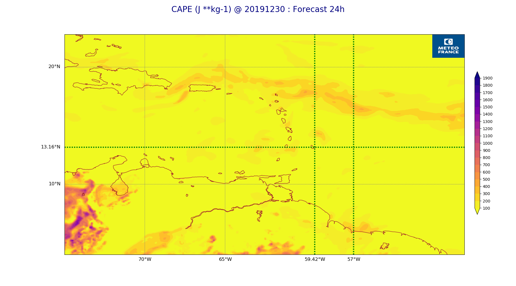
ARPEGE_map2D_CAPE_20191230_fct_24.png
2019-12-30 12:07
206K
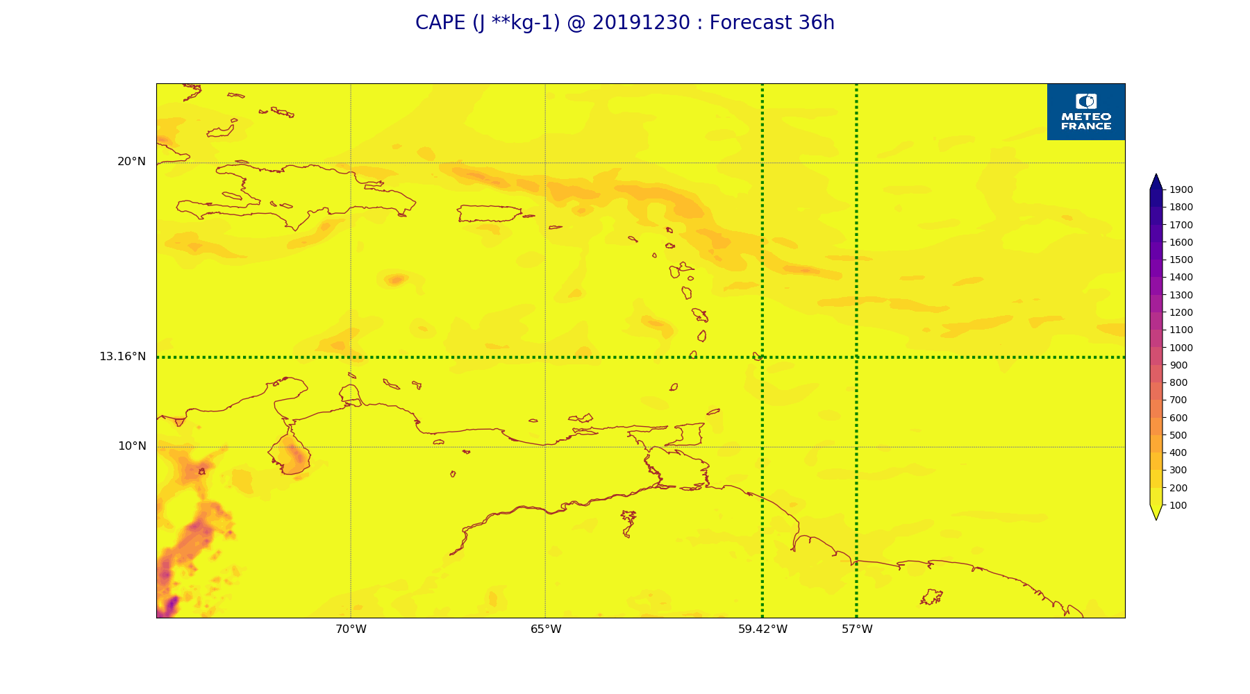
ARPEGE_map2D_CAPE_20191230_fct_36.png
2019-12-30 12:07
194K
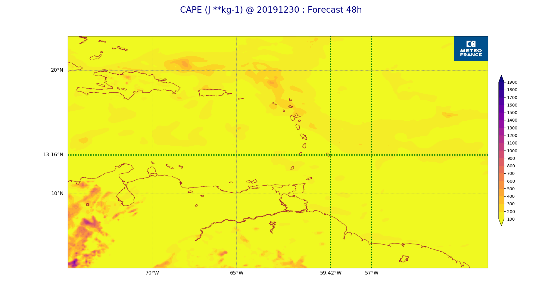
ARPEGE_map2D_CAPE_20191230_fct_48.png
2019-12-30 12:07
199K
ARPEGE_map2D_Cum_3h_RAIN_20191230_fct_0.png
2019-12-30 12:02
151K
ARPEGE_map2D_Cum_3h_RAIN_20191230_fct_12.png
2019-12-30 12:02
197K
ARPEGE_map2D_Cum_3h_RAIN_20191230_fct_24.png
2019-12-30 12:02
178K
ARPEGE_map2D_Cum_3h_RAIN_20191230_fct_36.png
2019-12-30 12:02
190K
ARPEGE_map2D_Cum_3h_RAIN_20191230_fct_48.png
2019-12-30 12:02
237K
ARPEGE_map2D_Fraction_cloud_cover_200hPa_20191230_fct_0.png
2019-12-30 11:56
161K
ARPEGE_map2D_Fraction_cloud_cover_200hPa_20191230_fct_12.png
2019-12-30 11:56
321K
ARPEGE_map2D_Fraction_cloud_cover_200hPa_20191230_fct_24.png
2019-12-30 11:56
306K
ARPEGE_map2D_Fraction_cloud_cover_200hPa_20191230_fct_36.png
2019-12-30 11:56
319K
ARPEGE_map2D_Fraction_cloud_cover_200hPa_20191230_fct_48.png
2019-12-30 11:57
309K
ARPEGE_map2D_Fraction_cloud_cover_500hPa_20191230_fct_0.png
2019-12-30 11:56
161K
ARPEGE_map2D_Fraction_cloud_cover_500hPa_20191230_fct_12.png
2019-12-30 11:56
281K
ARPEGE_map2D_Fraction_cloud_cover_500hPa_20191230_fct_24.png
2019-12-30 11:56
245K
ARPEGE_map2D_Fraction_cloud_cover_500hPa_20191230_fct_36.png
2019-12-30 11:56
239K
ARPEGE_map2D_Fraction_cloud_cover_500hPa_20191230_fct_48.png
2019-12-30 11:57
221K
ARPEGE_map2D_Fraction_cloud_cover_850hPa_20191230_fct_0.png
2019-12-30 11:56
161K
ARPEGE_map2D_Fraction_cloud_cover_850hPa_20191230_fct_12.png
2019-12-30 11:56
563K
ARPEGE_map2D_Fraction_cloud_cover_850hPa_20191230_fct_24.png
2019-12-30 11:56
596K
ARPEGE_map2D_Fraction_cloud_cover_850hPa_20191230_fct_36.png
2019-12-30 11:56
619K
ARPEGE_map2D_Fraction_cloud_cover_850hPa_20191230_fct_48.png
2019-12-30 11:57
610K
ARPEGE_map2D_Fraction_cloud_cover_925hPa_20191230_fct_0.png
2019-12-30 11:56
161K
ARPEGE_map2D_Fraction_cloud_cover_925hPa_20191230_fct_12.png
2019-12-30 11:56
608K
ARPEGE_map2D_Fraction_cloud_cover_925hPa_20191230_fct_24.png
2019-12-30 11:56
557K
ARPEGE_map2D_Fraction_cloud_cover_925hPa_20191230_fct_36.png
2019-12-30 11:57
641K
ARPEGE_map2D_Fraction_cloud_cover_925hPa_20191230_fct_48.png
2019-12-30 11:57
588K
ARPEGE_map2D_Geopotential_0_7_PVU_20191230_fct_0.png
2019-12-30 11:59
193K
ARPEGE_map2D_Geopotential_0_7_PVU_20191230_fct_12.png
2019-12-30 11:59
193K
ARPEGE_map2D_Geopotential_0_7_PVU_20191230_fct_24.png
2019-12-30 11:59
188K
ARPEGE_map2D_Geopotential_0_7_PVU_20191230_fct_36.png
2019-12-30 11:59
192K
ARPEGE_map2D_Geopotential_0_7_PVU_20191230_fct_48.png
2019-12-30 11:59
201K
ARPEGE_map2D_High_CC_sup_450hPa_20191230_fct_0.png
2019-12-30 12:01
168K
ARPEGE_map2D_High_CC_sup_450hPa_20191230_fct_12.png
2019-12-30 12:01
264K
ARPEGE_map2D_High_CC_sup_450hPa_20191230_fct_24.png
2019-12-30 12:01
278K
ARPEGE_map2D_High_CC_sup_450hPa_20191230_fct_36.png
2019-12-30 12:01
276K
ARPEGE_map2D_High_CC_sup_450hPa_20191230_fct_48.png
2019-12-30 12:02
261K
ARPEGE_map2D_IWP_20191230_fct_0.png
2019-12-30 12:05
151K
ARPEGE_map2D_IWP_20191230_fct_12.png
2019-12-30 12:05
151K
ARPEGE_map2D_IWP_20191230_fct_24.png
2019-12-30 12:05
151K
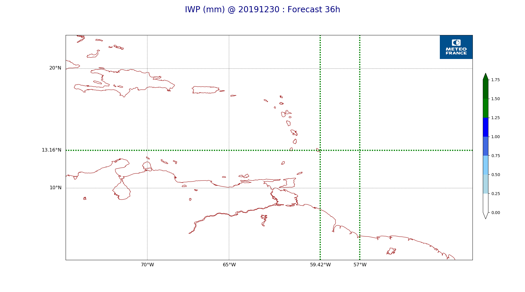
ARPEGE_map2D_IWP_20191230_fct_36.png
2019-12-30 12:05
151K
ARPEGE_map2D_IWP_20191230_fct_48.png
2019-12-30 12:06
151K
ARPEGE_map2D_LWP_20191230_fct_0.png
2019-12-30 12:04
141K
ARPEGE_map2D_LWP_20191230_fct_12.png
2019-12-30 12:05
141K
ARPEGE_map2D_LWP_20191230_fct_24.png
2019-12-30 12:05
141K
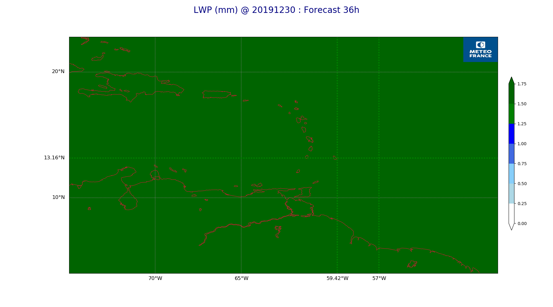
ARPEGE_map2D_LWP_20191230_fct_36.png
2019-12-30 12:05
142K
ARPEGE_map2D_LWP_20191230_fct_48.png
2019-12-30 12:05
141K
ARPEGE_map2D_Low_CC_inf_785hPa_20191230_fct_0.png
2019-12-30 12:00
167K
ARPEGE_map2D_Low_CC_inf_785hPa_20191230_fct_12.png
2019-12-30 12:00
381K
ARPEGE_map2D_Low_CC_inf_785hPa_20191230_fct_24.png
2019-12-30 12:00
382K
ARPEGE_map2D_Low_CC_inf_785hPa_20191230_fct_36.png
2019-12-30 12:00
420K
ARPEGE_map2D_Low_CC_inf_785hPa_20191230_fct_48.png
2019-12-30 12:00
424K
ARPEGE_map2D_Mid_CC_785_450hPa_20191230_fct_0.png
2019-12-30 12:00
168K
ARPEGE_map2D_Mid_CC_785_450hPa_20191230_fct_12.png
2019-12-30 12:00
383K
ARPEGE_map2D_Mid_CC_785_450hPa_20191230_fct_24.png
2019-12-30 12:01
383K
ARPEGE_map2D_Mid_CC_785_450hPa_20191230_fct_36.png
2019-12-30 12:01
421K
ARPEGE_map2D_Mid_CC_785_450hPa_20191230_fct_48.png
2019-12-30 12:01
428K
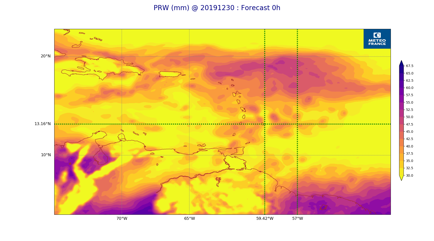
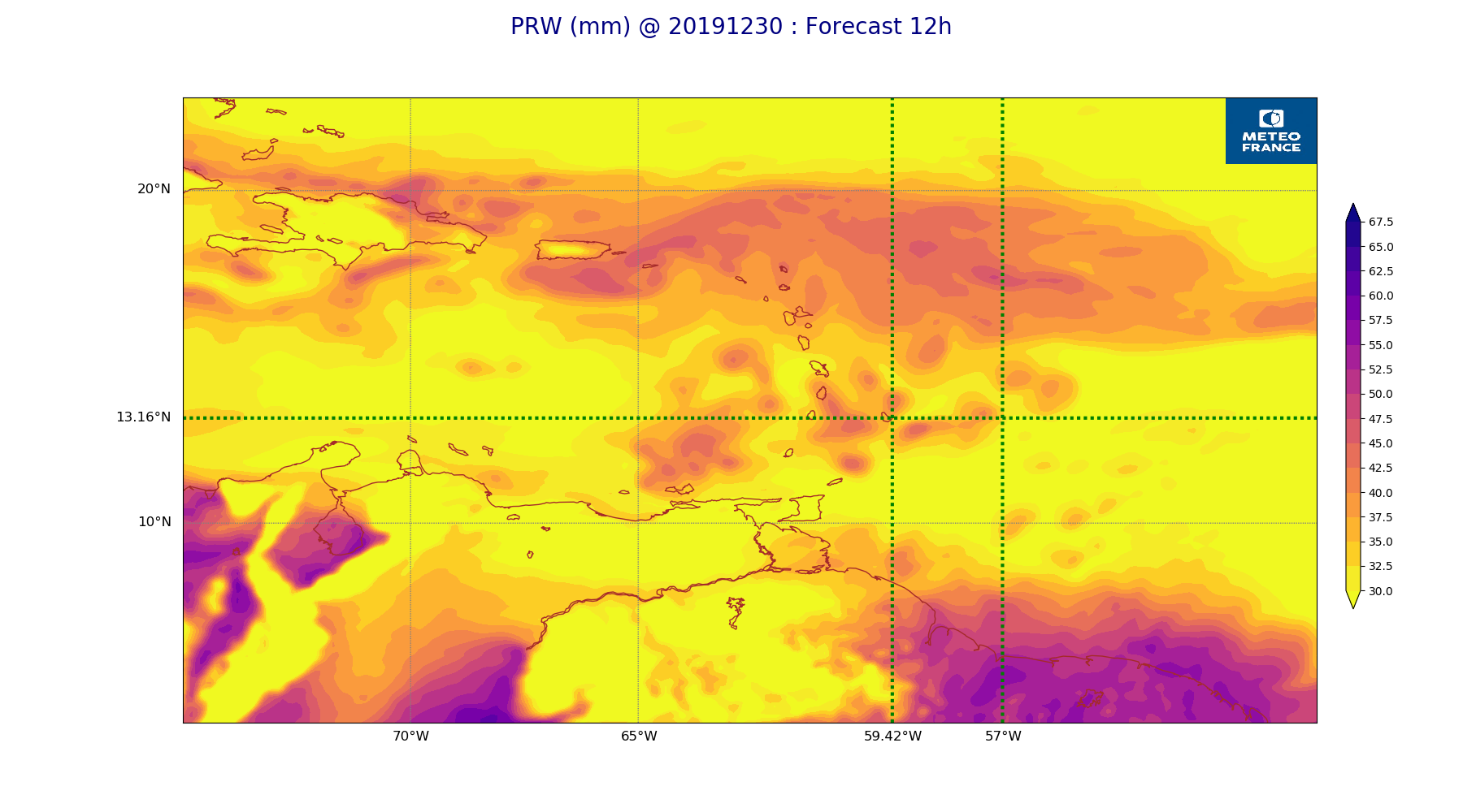
ARPEGE_map2D_PRW_20191230_fct_0.png
2019-12-30 12:02
236K
ARPEGE_map2D_PRW_20191230_fct_12.png
2019-12-30 12:02
230K
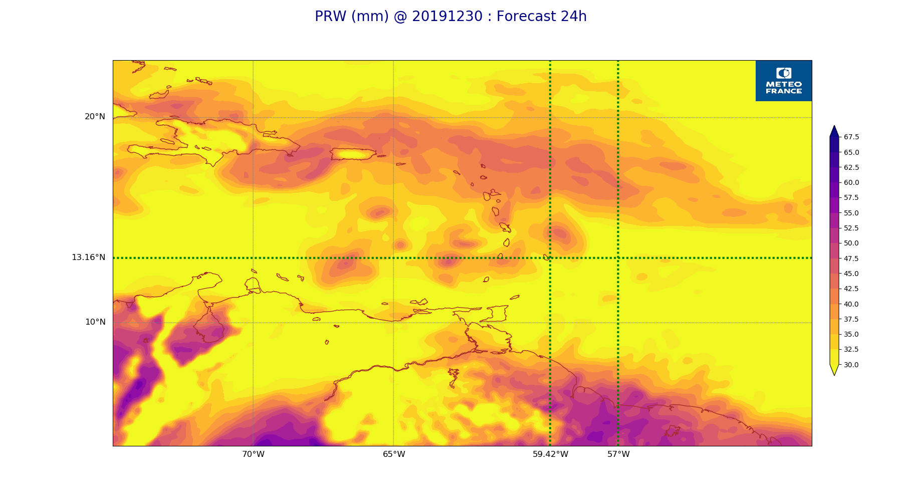
ARPEGE_map2D_PRW_20191230_fct_24.png
2019-12-30 12:03
227K
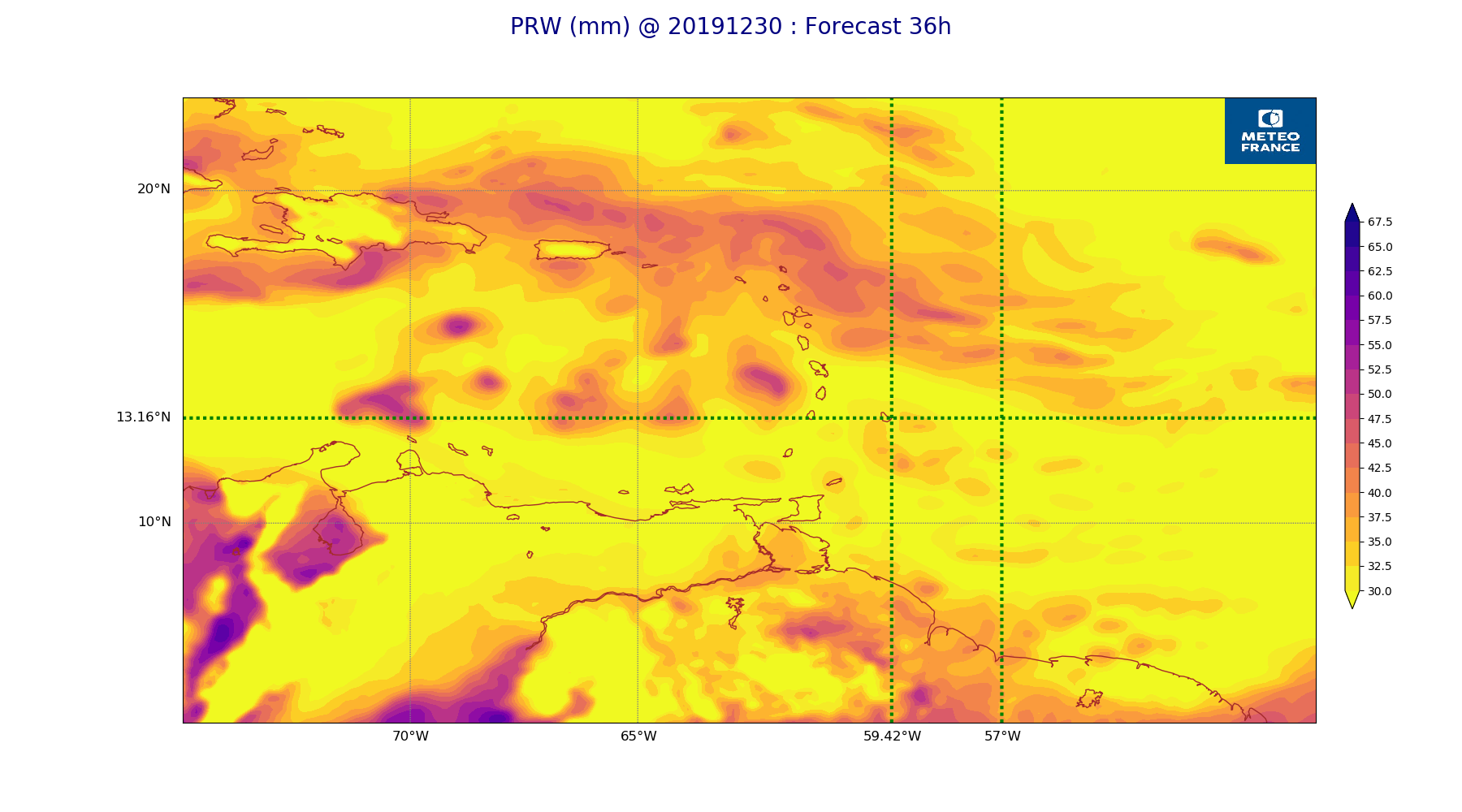
ARPEGE_map2D_PRW_20191230_fct_36.png
2019-12-30 12:03
238K
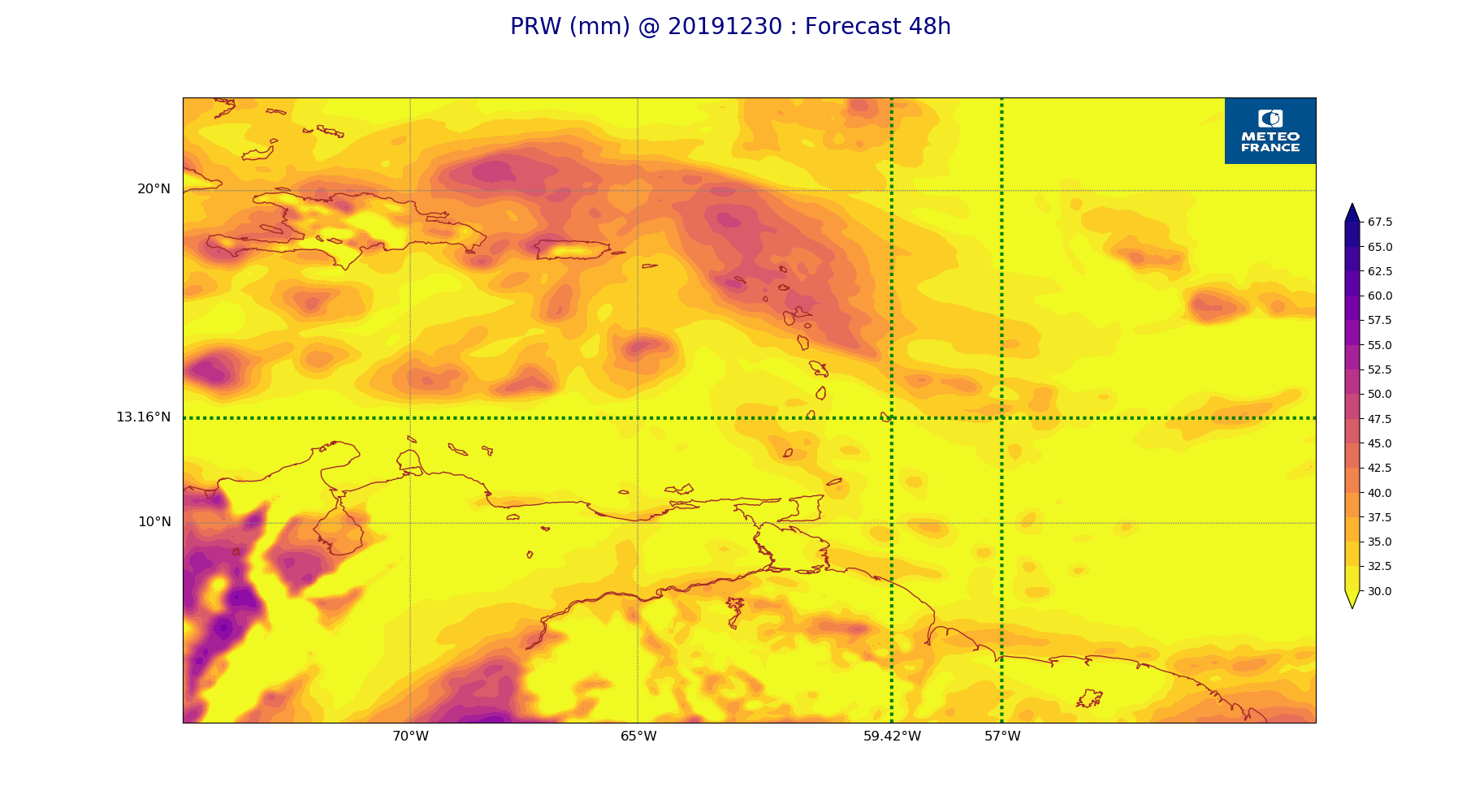
ARPEGE_map2D_PRW_20191230_fct_48.png
2019-12-30 12:03
232K
ARPEGE_map2D_Psfc_20191230_fct_0.png
2019-12-30 12:06
148K
ARPEGE_map2D_Psfc_20191230_fct_12.png
2019-12-30 12:06
148K
ARPEGE_map2D_Psfc_20191230_fct_24.png
2019-12-30 12:06
148K
ARPEGE_map2D_Psfc_20191230_fct_36.png
2019-12-30 12:06
148K
ARPEGE_map2D_Psfc_20191230_fct_48.png
2019-12-30 12:06
148K
ARPEGE_map2D_RH_500hPa_20191230_fct_0.png
2019-12-30 11:58
187K
ARPEGE_map2D_RH_500hPa_20191230_fct_12.png
2019-12-30 11:58
184K
ARPEGE_map2D_RH_500hPa_20191230_fct_24.png
2019-12-30 11:58
179K
ARPEGE_map2D_RH_500hPa_20191230_fct_36.png
2019-12-30 11:58
180K
ARPEGE_map2D_RH_500hPa_20191230_fct_48.png
2019-12-30 11:58
178K
ARPEGE_map2D_RH_700hPa_20191230_fct_0.png
2019-12-30 11:58
279K
ARPEGE_map2D_RH_700hPa_20191230_fct_12.png
2019-12-30 11:58
279K
ARPEGE_map2D_RH_700hPa_20191230_fct_24.png
2019-12-30 11:58
270K
ARPEGE_map2D_RH_700hPa_20191230_fct_36.png
2019-12-30 11:58
276K
ARPEGE_map2D_RH_700hPa_20191230_fct_48.png
2019-12-30 11:58
275K
ARPEGE_map2D_RH_850hPa_20191230_fct_0.png
2019-12-30 11:58
297K
ARPEGE_map2D_RH_850hPa_20191230_fct_12.png
2019-12-30 11:58
291K
ARPEGE_map2D_RH_850hPa_20191230_fct_24.png
2019-12-30 11:58
297K
ARPEGE_map2D_RH_850hPa_20191230_fct_36.png
2019-12-30 11:58
303K
ARPEGE_map2D_RH_850hPa_20191230_fct_48.png
2019-12-30 11:58
312K
ARPEGE_map2D_T_500hPa_20191230_fct_0.png
2019-12-30 11:57
164K
ARPEGE_map2D_T_500hPa_20191230_fct_12.png
2019-12-30 11:57
166K
ARPEGE_map2D_T_500hPa_20191230_fct_24.png
2019-12-30 11:57
164K
ARPEGE_map2D_T_500hPa_20191230_fct_36.png
2019-12-30 11:57
168K
ARPEGE_map2D_T_500hPa_20191230_fct_48.png
2019-12-30 11:58
162K
ARPEGE_map2D_T_850hPa_20191230_fct_0.png
2019-12-30 11:57
172K
ARPEGE_map2D_T_850hPa_20191230_fct_12.png
2019-12-30 11:57
178K
ARPEGE_map2D_T_850hPa_20191230_fct_24.png
2019-12-30 11:57
177K
ARPEGE_map2D_T_850hPa_20191230_fct_36.png
2019-12-30 11:58
181K
ARPEGE_map2D_T_850hPa_20191230_fct_48.png
2019-12-30 11:58
177K
ARPEGE_map2D_T_925hPa_20191230_fct_0.png
2019-12-30 11:57
180K
ARPEGE_map2D_T_925hPa_20191230_fct_12.png
2019-12-30 11:57
184K
ARPEGE_map2D_T_925hPa_20191230_fct_24.png
2019-12-30 11:57
181K
ARPEGE_map2D_T_925hPa_20191230_fct_36.png
2019-12-30 11:58
188K
ARPEGE_map2D_T_925hPa_20191230_fct_48.png
2019-12-30 11:58
190K
ARPEGE_map2D_U_200hPa_20191230_fct_0.png
2019-12-30 11:55
168K
ARPEGE_map2D_U_200hPa_20191230_fct_12.png
2019-12-30 11:55
174K
ARPEGE_map2D_U_200hPa_20191230_fct_24.png
2019-12-30 11:55
174K
ARPEGE_map2D_U_200hPa_20191230_fct_36.png
2019-12-30 11:55
182K
ARPEGE_map2D_U_200hPa_20191230_fct_48.png
2019-12-30 11:55
186K
ARPEGE_map2D_U_500hPa_20191230_fct_0.png
2019-12-30 11:55
190K
ARPEGE_map2D_U_500hPa_20191230_fct_12.png
2019-12-30 11:55
187K
ARPEGE_map2D_U_500hPa_20191230_fct_24.png
2019-12-30 11:55
185K
ARPEGE_map2D_U_500hPa_20191230_fct_36.png
2019-12-30 11:55
184K
ARPEGE_map2D_U_500hPa_20191230_fct_48.png
2019-12-30 11:55
180K
ARPEGE_map2D_U_850hPa_20191230_fct_0.png
2019-12-30 11:55
211K
ARPEGE_map2D_U_850hPa_20191230_fct_12.png
2019-12-30 11:55
211K
ARPEGE_map2D_U_850hPa_20191230_fct_24.png
2019-12-30 11:55
212K
ARPEGE_map2D_U_850hPa_20191230_fct_36.png
2019-12-30 11:55
216K
ARPEGE_map2D_U_850hPa_20191230_fct_48.png
2019-12-30 11:55
215K
ARPEGE_map2D_U_925hPa_20191230_fct_0.png
2019-12-30 11:55
201K
ARPEGE_map2D_U_925hPa_20191230_fct_12.png
2019-12-30 11:55
199K
ARPEGE_map2D_U_925hPa_20191230_fct_24.png
2019-12-30 11:55
200K
ARPEGE_map2D_U_925hPa_20191230_fct_36.png
2019-12-30 11:55
210K
ARPEGE_map2D_U_925hPa_20191230_fct_48.png
2019-12-30 11:55
205K
ARPEGE_map2D_V_200hPa_20191230_fct_0.png
2019-12-30 11:55
189K
ARPEGE_map2D_V_200hPa_20191230_fct_12.png
2019-12-30 11:55
191K
ARPEGE_map2D_V_200hPa_20191230_fct_24.png
2019-12-30 11:56
190K
ARPEGE_map2D_V_200hPa_20191230_fct_36.png
2019-12-30 11:56
178K
ARPEGE_map2D_V_200hPa_20191230_fct_48.png
2019-12-30 11:56
180K
ARPEGE_map2D_V_500hPa_20191230_fct_0.png
2019-12-30 11:55
208K
ARPEGE_map2D_V_500hPa_20191230_fct_12.png
2019-12-30 11:55
202K
ARPEGE_map2D_V_500hPa_20191230_fct_24.png
2019-12-30 11:56
204K
ARPEGE_map2D_V_500hPa_20191230_fct_36.png
2019-12-30 11:56
213K
ARPEGE_map2D_V_500hPa_20191230_fct_48.png
2019-12-30 11:56
210K
ARPEGE_map2D_V_850hPa_20191230_fct_0.png
2019-12-30 11:55
261K
ARPEGE_map2D_V_850hPa_20191230_fct_12.png
2019-12-30 11:56
263K
ARPEGE_map2D_V_850hPa_20191230_fct_24.png
2019-12-30 11:56
266K
ARPEGE_map2D_V_850hPa_20191230_fct_36.png
2019-12-30 11:56
275K
ARPEGE_map2D_V_850hPa_20191230_fct_48.png
2019-12-30 11:56
278K
ARPEGE_map2D_V_925hPa_20191230_fct_0.png
2019-12-30 11:55
249K
ARPEGE_map2D_V_925hPa_20191230_fct_12.png
2019-12-30 11:56
245K
ARPEGE_map2D_V_925hPa_20191230_fct_24.png
2019-12-30 11:56
246K
ARPEGE_map2D_V_925hPa_20191230_fct_36.png
2019-12-30 11:56
254K
ARPEGE_map2D_V_925hPa_20191230_fct_48.png
2019-12-30 11:56
254K
ARPEGE_map2D_Vertical_velocity_500hPa_20191230_fct_0.png
2019-12-30 11:54
240K
ARPEGE_map2D_Vertical_velocity_500hPa_20191230_fct_12.png
2019-12-30 11:54
236K
ARPEGE_map2D_Vertical_velocity_500hPa_20191230_fct_24.png
2019-12-30 11:54
232K
ARPEGE_map2D_Vertical_velocity_500hPa_20191230_fct_36.png
2019-12-30 11:54
226K
ARPEGE_map2D_Vertical_velocity_500hPa_20191230_fct_48.png
2019-12-30 11:55
221K
ARPEGE_map2D_Vertical_velocity_700hPa_20191230_fct_0.png
2019-12-30 11:54
267K
ARPEGE_map2D_Vertical_velocity_700hPa_20191230_fct_12.png
2019-12-30 11:54
260K
ARPEGE_map2D_Vertical_velocity_700hPa_20191230_fct_24.png
2019-12-30 11:54
260K
ARPEGE_map2D_Vertical_velocity_700hPa_20191230_fct_36.png
2019-12-30 11:54
267K
ARPEGE_map2D_Vertical_velocity_700hPa_20191230_fct_48.png
2019-12-30 11:55
251K
ARPEGE_map2D_Vertical_velocity_850hPa_20191230_fct_0.png
2019-12-30 11:54
302K
ARPEGE_map2D_Vertical_velocity_850hPa_20191230_fct_12.png
2019-12-30 11:54
300K
ARPEGE_map2D_Vertical_velocity_850hPa_20191230_fct_24.png
2019-12-30 11:54
301K
ARPEGE_map2D_Vertical_velocity_850hPa_20191230_fct_36.png
2019-12-30 11:55
309K
ARPEGE_map2D_Vertical_velocity_850hPa_20191230_fct_48.png
2019-12-30 11:55
296K
ARPEGE_map2D_qv_500hPa_20191230_fct_0.png
2019-12-30 11:58
158K
ARPEGE_map2D_qv_500hPa_20191230_fct_12.png
2019-12-30 11:58
158K
ARPEGE_map2D_qv_500hPa_20191230_fct_24.png
2019-12-30 11:59
158K
ARPEGE_map2D_qv_500hPa_20191230_fct_36.png
2019-12-30 11:59
158K
ARPEGE_map2D_qv_500hPa_20191230_fct_48.png
2019-12-30 11:59
159K
ARPEGE_map2D_qv_850hPa_20191230_fct_0.png
2019-12-30 11:58
251K
ARPEGE_map2D_qv_850hPa_20191230_fct_12.png
2019-12-30 11:58
248K
ARPEGE_map2D_qv_850hPa_20191230_fct_24.png
2019-12-30 11:59
251K
ARPEGE_map2D_qv_850hPa_20191230_fct_36.png
2019-12-30 11:59
258K
ARPEGE_map2D_qv_850hPa_20191230_fct_48.png
2019-12-30 11:59
264K
ARPEGE_map2D_qv_925hPa_20191230_fct_0.png
2019-12-30 11:58
244K
ARPEGE_map2D_qv_925hPa_20191230_fct_12.png
2019-12-30 11:59
241K
ARPEGE_map2D_qv_925hPa_20191230_fct_24.png
2019-12-30 11:59
235K
ARPEGE_map2D_qv_925hPa_20191230_fct_36.png
2019-12-30 11:59
251K
ARPEGE_map2D_qv_925hPa_20191230_fct_48.png
2019-12-30 11:59
250K
ARPEGE_map2D_theta_500hPa_20191230_fct_0.png
2019-12-30 11:57
162K
ARPEGE_map2D_theta_500hPa_20191230_fct_12.png
2019-12-30 11:57
167K
ARPEGE_map2D_theta_500hPa_20191230_fct_24.png
2019-12-30 11:57
163K
ARPEGE_map2D_theta_500hPa_20191230_fct_36.png
2019-12-30 11:57
163K
ARPEGE_map2D_theta_500hPa_20191230_fct_48.png
2019-12-30 11:57
162K
ARPEGE_map2D_theta_850hPa_20191230_fct_0.png
2019-12-30 11:57
173K
ARPEGE_map2D_theta_850hPa_20191230_fct_12.png
2019-12-30 11:57
181K
ARPEGE_map2D_theta_850hPa_20191230_fct_24.png
2019-12-30 11:57
176K
ARPEGE_map2D_theta_850hPa_20191230_fct_36.png
2019-12-30 11:57
181K
ARPEGE_map2D_theta_850hPa_20191230_fct_48.png
2019-12-30 11:57
173K
ARPEGE_map2D_theta_925hPa_20191230_fct_0.png
2019-12-30 11:57
183K
ARPEGE_map2D_theta_925hPa_20191230_fct_12.png
2019-12-30 11:57
188K
ARPEGE_map2D_theta_925hPa_20191230_fct_24.png
2019-12-30 11:57
181K
ARPEGE_map2D_theta_925hPa_20191230_fct_36.png
2019-12-30 11:57
191K
ARPEGE_map2D_theta_925hPa_20191230_fct_48.png
2019-12-30 11:57
183K
ARPEGE_map2D_u10_20191230_fct_0.png
2019-12-30 12:03
230K
ARPEGE_map2D_u10_20191230_fct_12.png
2019-12-30 12:03
233K
ARPEGE_map2D_u10_20191230_fct_24.png
2019-12-30 12:03
233K
ARPEGE_map2D_u10_20191230_fct_36.png
2019-12-30 12:03
242K
ARPEGE_map2D_u10_20191230_fct_48.png
2019-12-30 12:04
237K
ARPEGE_map2D_v10_20191230_fct_0.png
2019-12-30 12:04
222K
ARPEGE_map2D_v10_20191230_fct_12.png
2019-12-30 12:04
222K
ARPEGE_map2D_v10_20191230_fct_24.png
2019-12-30 12:04
221K
ARPEGE_map2D_v10_20191230_fct_36.png
2019-12-30 12:04
227K
ARPEGE_map2D_v10_20191230_fct_48.png
2019-12-30 12:04
227K