Index of /aeris/eurec4a-data/FORECASTS/GLOBAL/ARPEGE/2019/20191231/map2D
Name
Last modified
Size
Parent Directory
-
ARPEGE_map2D_LWP_20191231_fct_0.png
2019-12-31 12:05
140K
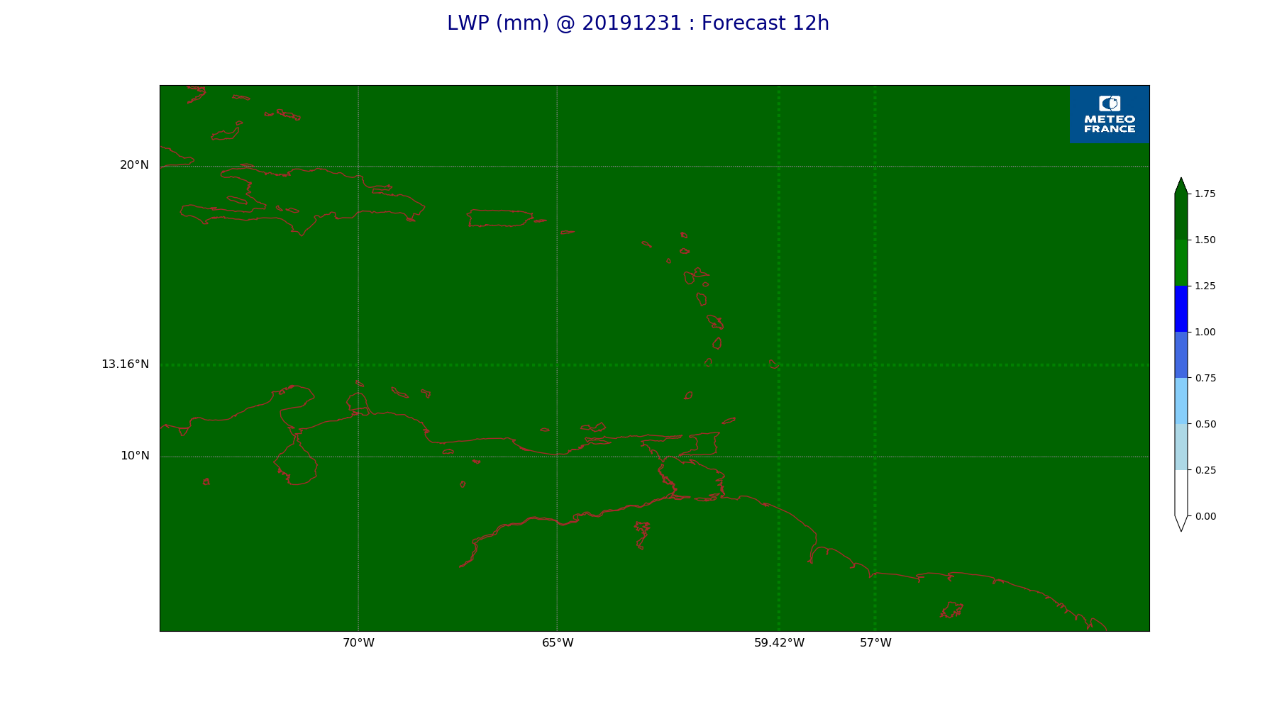
ARPEGE_map2D_LWP_20191231_fct_12.png
2019-12-31 12:05
140K
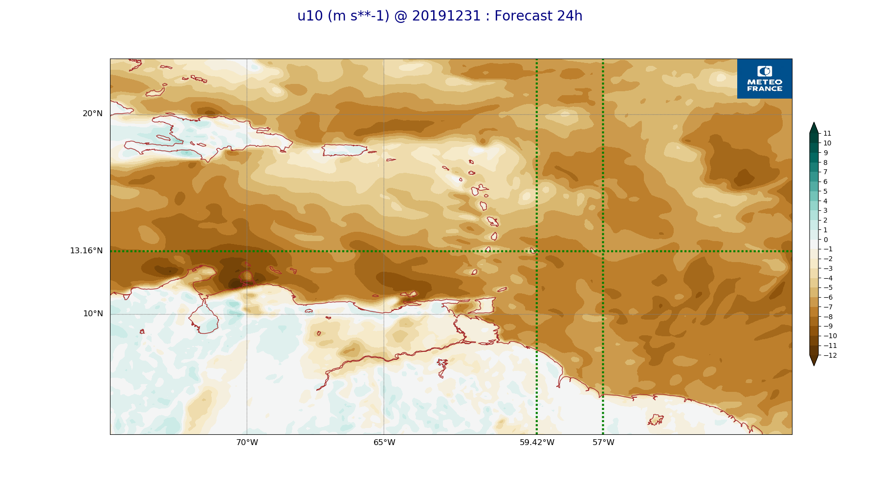
ARPEGE_map2D_LWP_20191231_fct_24.png
2019-12-31 12:05
141K
ARPEGE_map2D_LWP_20191231_fct_48.png
2019-12-31 12:05
141K
ARPEGE_map2D_LWP_20191231_fct_36.png
2019-12-31 12:05
141K
ARPEGE_map2D_Psfc_20191231_fct_0.png
2019-12-31 12:06
147K
ARPEGE_map2D_Psfc_20191231_fct_12.png
2019-12-31 12:06
147K
ARPEGE_map2D_Psfc_20191231_fct_24.png
2019-12-31 12:06
147K
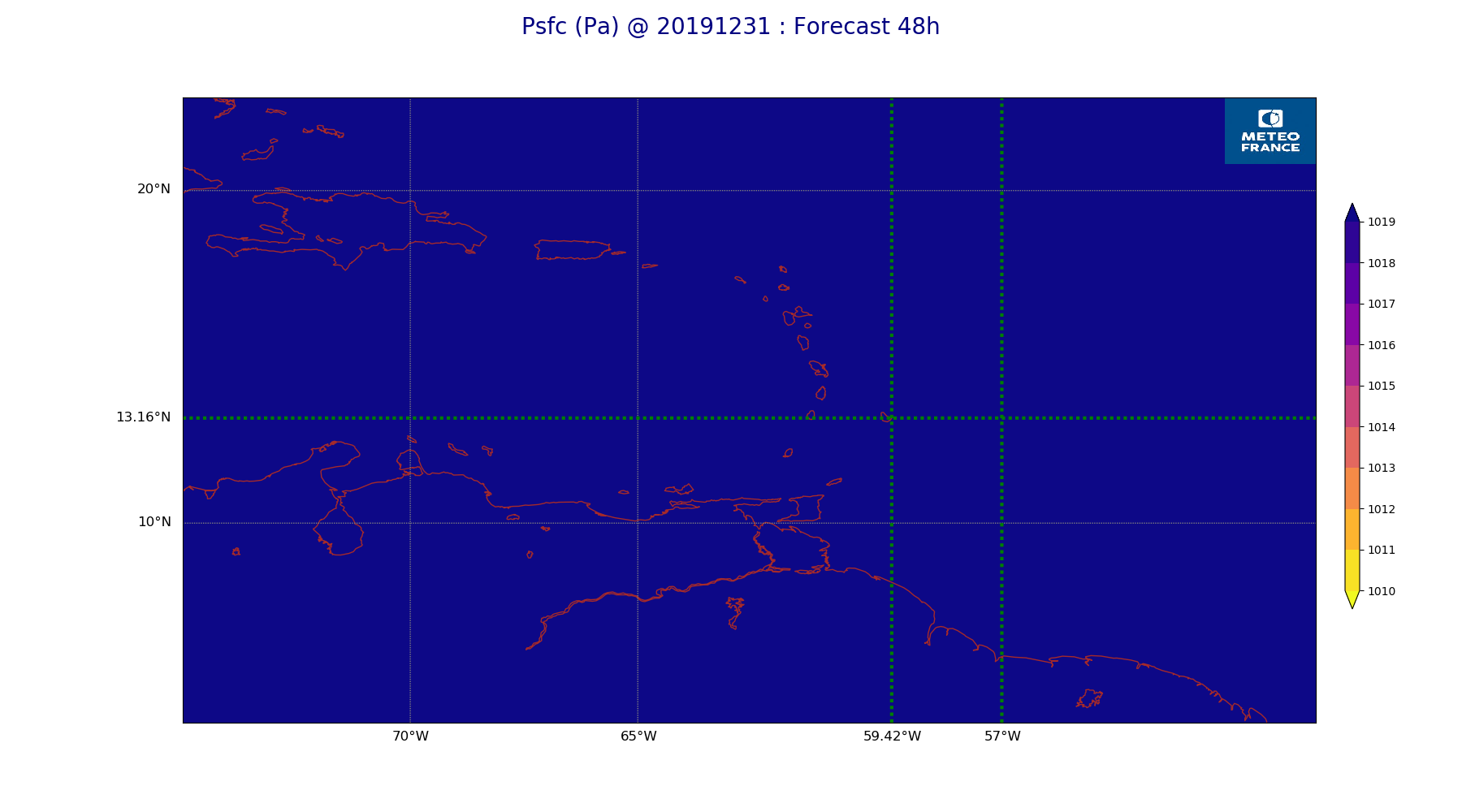
ARPEGE_map2D_Psfc_20191231_fct_48.png
2019-12-31 12:06
148K
ARPEGE_map2D_Psfc_20191231_fct_36.png
2019-12-31 12:06
148K
ARPEGE_map2D_IWP_20191231_fct_0.png
2019-12-31 12:05
150K
ARPEGE_map2D_Cum_3h_RAIN_20191231_fct_0.png
2019-12-31 12:02
150K
ARPEGE_map2D_IWP_20191231_fct_12.png
2019-12-31 12:05
150K
ARPEGE_map2D_IWP_20191231_fct_24.png
2019-12-31 12:05
151K
ARPEGE_map2D_IWP_20191231_fct_48.png
2019-12-31 12:06
151K
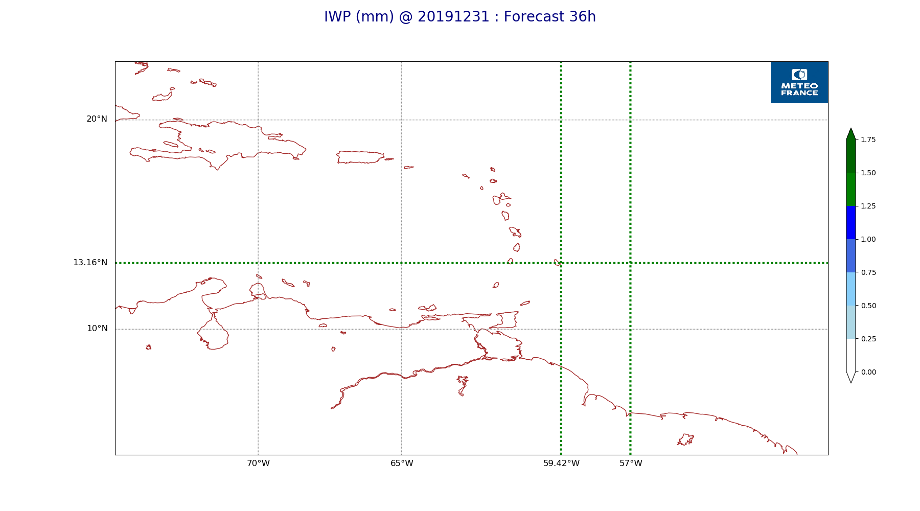
ARPEGE_map2D_IWP_20191231_fct_36.png
2019-12-31 12:06
151K
ARPEGE_map2D_qv_500hPa_20191231_fct_12.png
2019-12-31 11:59
157K
ARPEGE_map2D_qv_500hPa_20191231_fct_24.png
2019-12-31 11:59
157K
ARPEGE_map2D_qv_500hPa_20191231_fct_0.png
2019-12-31 11:59
158K
ARPEGE_map2D_qv_500hPa_20191231_fct_48.png
2019-12-31 11:59
158K
ARPEGE_map2D_qv_500hPa_20191231_fct_36.png
2019-12-31 11:59
158K
ARPEGE_map2D_theta_500hPa_20191231_fct_48.png
2019-12-31 11:57
159K
ARPEGE_map2D_T_500hPa_20191231_fct_48.png
2019-12-31 11:58
159K
ARPEGE_map2D_Fraction_cloud_cover_925hPa_20191231_fct_0.png
2019-12-31 11:56
161K
ARPEGE_map2D_Fraction_cloud_cover_200hPa_20191231_fct_0.png
2019-12-31 11:56
161K
ARPEGE_map2D_Fraction_cloud_cover_500hPa_20191231_fct_0.png
2019-12-31 11:56
161K
ARPEGE_map2D_theta_500hPa_20191231_fct_36.png
2019-12-31 11:57
161K
ARPEGE_map2D_Fraction_cloud_cover_850hPa_20191231_fct_0.png
2019-12-31 11:56
161K
ARPEGE_map2D_theta_500hPa_20191231_fct_24.png
2019-12-31 11:57
162K
ARPEGE_map2D_T_500hPa_20191231_fct_24.png
2019-12-31 11:58
164K
ARPEGE_map2D_theta_500hPa_20191231_fct_12.png
2019-12-31 11:57
164K
ARPEGE_map2D_T_500hPa_20191231_fct_36.png
2019-12-31 11:58
165K
ARPEGE_map2D_theta_500hPa_20191231_fct_0.png
2019-12-31 11:57
165K
ARPEGE_map2D_T_500hPa_20191231_fct_0.png
2019-12-31 11:57
166K
ARPEGE_map2D_Low_CC_inf_785hPa_20191231_fct_0.png
2019-12-31 12:00
167K
ARPEGE_map2D_High_CC_sup_450hPa_20191231_fct_0.png
2019-12-31 12:01
167K
ARPEGE_map2D_Mid_CC_785_450hPa_20191231_fct_0.png
2019-12-31 12:00
168K
ARPEGE_map2D_T_500hPa_20191231_fct_12.png
2019-12-31 11:57
168K
ARPEGE_map2D_RH_500hPa_20191231_fct_36.png
2019-12-31 11:58
171K
ARPEGE_map2D_RH_500hPa_20191231_fct_48.png
2019-12-31 11:58
172K
ARPEGE_map2D_U_200hPa_20191231_fct_0.png
2019-12-31 11:55
174K
ARPEGE_map2D_T_850hPa_20191231_fct_24.png
2019-12-31 11:58
175K
ARPEGE_map2D_theta_850hPa_20191231_fct_0.png
2019-12-31 11:57
175K
ARPEGE_map2D_T_850hPa_20191231_fct_48.png
2019-12-31 11:58
175K
ARPEGE_map2D_theta_850hPa_20191231_fct_48.png
2019-12-31 11:57
175K
ARPEGE_map2D_T_850hPa_20191231_fct_0.png
2019-12-31 11:57
175K
ARPEGE_map2D_theta_850hPa_20191231_fct_24.png
2019-12-31 11:57
176K
ARPEGE_map2D_RH_500hPa_20191231_fct_12.png
2019-12-31 11:58
176K
ARPEGE_map2D_V_200hPa_20191231_fct_36.png
2019-12-31 11:56
176K
ARPEGE_map2D_V_200hPa_20191231_fct_12.png
2019-12-31 11:56
177K
ARPEGE_map2D_V_200hPa_20191231_fct_24.png
2019-12-31 11:56
177K
ARPEGE_map2D_RH_500hPa_20191231_fct_24.png
2019-12-31 11:58
178K
ARPEGE_map2D_T_925hPa_20191231_fct_0.png
2019-12-31 11:57
179K
ARPEGE_map2D_RH_500hPa_20191231_fct_0.png
2019-12-31 11:58
179K
ARPEGE_map2D_theta_925hPa_20191231_fct_0.png
2019-12-31 11:57
179K
ARPEGE_map2D_U_500hPa_20191231_fct_24.png
2019-12-31 11:55
179K
ARPEGE_map2D_T_850hPa_20191231_fct_12.png
2019-12-31 11:57
180K
ARPEGE_map2D_U_200hPa_20191231_fct_12.png
2019-12-31 11:55
180K
ARPEGE_map2D_T_850hPa_20191231_fct_36.png
2019-12-31 11:58
181K
ARPEGE_map2D_U_500hPa_20191231_fct_36.png
2019-12-31 11:55
181K
ARPEGE_map2D_Cum_3h_RAIN_20191231_fct_48.png
2019-12-31 12:02
181K
ARPEGE_map2D_theta_850hPa_20191231_fct_12.png
2019-12-31 11:57
182K
ARPEGE_map2D_U_500hPa_20191231_fct_12.png
2019-12-31 11:55
183K
ARPEGE_map2D_theta_925hPa_20191231_fct_24.png
2019-12-31 11:57
183K
ARPEGE_map2D_U_500hPa_20191231_fct_48.png
2019-12-31 11:55
183K
ARPEGE_map2D_T_925hPa_20191231_fct_12.png
2019-12-31 11:57
184K
ARPEGE_map2D_U_500hPa_20191231_fct_0.png
2019-12-31 11:55
186K
ARPEGE_map2D_U_200hPa_20191231_fct_48.png
2019-12-31 11:55
186K
ARPEGE_map2D_U_200hPa_20191231_fct_24.png
2019-12-31 11:55
186K
ARPEGE_map2D_theta_925hPa_20191231_fct_48.png
2019-12-31 11:57
186K
ARPEGE_map2D_T_925hPa_20191231_fct_24.png
2019-12-31 11:58
186K
ARPEGE_map2D_U_200hPa_20191231_fct_36.png
2019-12-31 11:55
186K
ARPEGE_map2D_theta_850hPa_20191231_fct_36.png
2019-12-31 11:57
187K
ARPEGE_map2D_theta_925hPa_20191231_fct_12.png
2019-12-31 11:57
187K
ARPEGE_map2D_Fraction_cloud_cover_500hPa_20191231_fct_48.png
2019-12-31 11:57
187K
ARPEGE_map2D_T_925hPa_20191231_fct_48.png
2019-12-31 11:58
188K
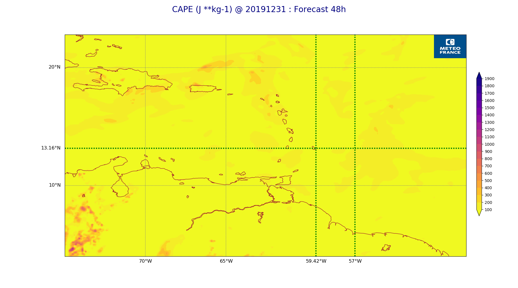
ARPEGE_map2D_CAPE_20191231_fct_48.png
2019-12-31 12:07
188K
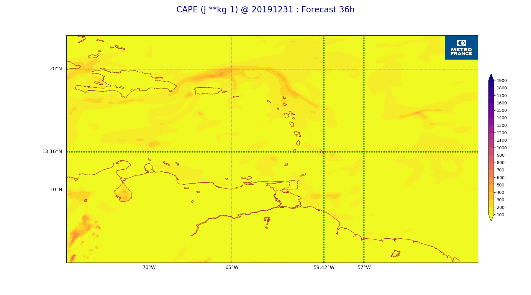
ARPEGE_map2D_CAPE_20191231_fct_36.png
2019-12-31 12:07
189K
ARPEGE_map2D_V_200hPa_20191231_fct_48.png
2019-12-31 11:56
191K
ARPEGE_map2D_T_925hPa_20191231_fct_36.png
2019-12-31 11:58
191K
ARPEGE_map2D_V_200hPa_20191231_fct_0.png
2019-12-31 11:55
194K
ARPEGE_map2D_theta_925hPa_20191231_fct_36.png
2019-12-31 11:57
195K
ARPEGE_map2D_Geopotential_0_7_PVU_20191231_fct_0.png
2019-12-31 11:59
195K
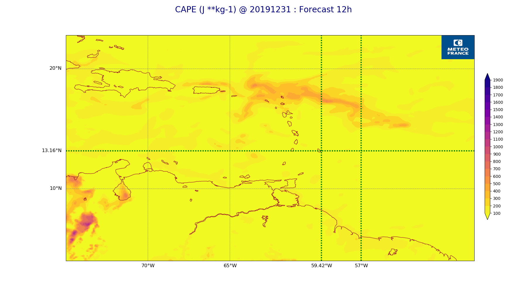
ARPEGE_map2D_CAPE_20191231_fct_12.png
2019-12-31 12:07
195K
ARPEGE_map2D_Geopotential_0_7_PVU_20191231_fct_36.png
2019-12-31 12:00
197K
ARPEGE_map2D_Geopotential_0_7_PVU_20191231_fct_12.png
2019-12-31 11:59
198K
ARPEGE_map2D_U_925hPa_20191231_fct_0.png
2019-12-31 11:55
201K
ARPEGE_map2D_V_500hPa_20191231_fct_48.png
2019-12-31 11:56
201K
ARPEGE_map2D_U_925hPa_20191231_fct_12.png
2019-12-31 11:55
201K
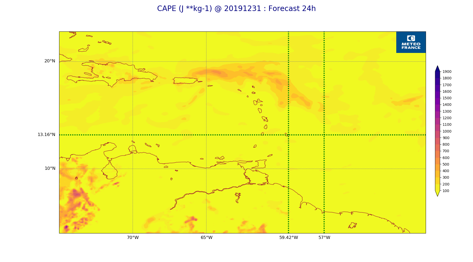
ARPEGE_map2D_CAPE_20191231_fct_24.png
2019-12-31 12:07
202K
ARPEGE_map2D_Geopotential_0_7_PVU_20191231_fct_24.png
2019-12-31 11:59
202K
ARPEGE_map2D_U_925hPa_20191231_fct_24.png
2019-12-31 11:55
203K
ARPEGE_map2D_Geopotential_0_7_PVU_20191231_fct_48.png
2019-12-31 12:00
204K
ARPEGE_map2D_Cum_3h_RAIN_20191231_fct_12.png
2019-12-31 12:02
206K
ARPEGE_map2D_Fraction_cloud_cover_500hPa_20191231_fct_36.png
2019-12-31 11:57
207K
ARPEGE_map2D_V_500hPa_20191231_fct_24.png
2019-12-31 11:56
208K
ARPEGE_map2D_V_500hPa_20191231_fct_0.png
2019-12-31 11:56
208K
ARPEGE_map2D_U_925hPa_20191231_fct_48.png
2019-12-31 11:55
208K
ARPEGE_map2D_V_500hPa_20191231_fct_36.png
2019-12-31 11:56
208K
ARPEGE_map2D_U_850hPa_20191231_fct_0.png
2019-12-31 11:55
209K
ARPEGE_map2D_U_850hPa_20191231_fct_12.png
2019-12-31 11:55
209K
ARPEGE_map2D_V_500hPa_20191231_fct_12.png
2019-12-31 11:56
209K
ARPEGE_map2D_U_925hPa_20191231_fct_36.png
2019-12-31 11:55
210K
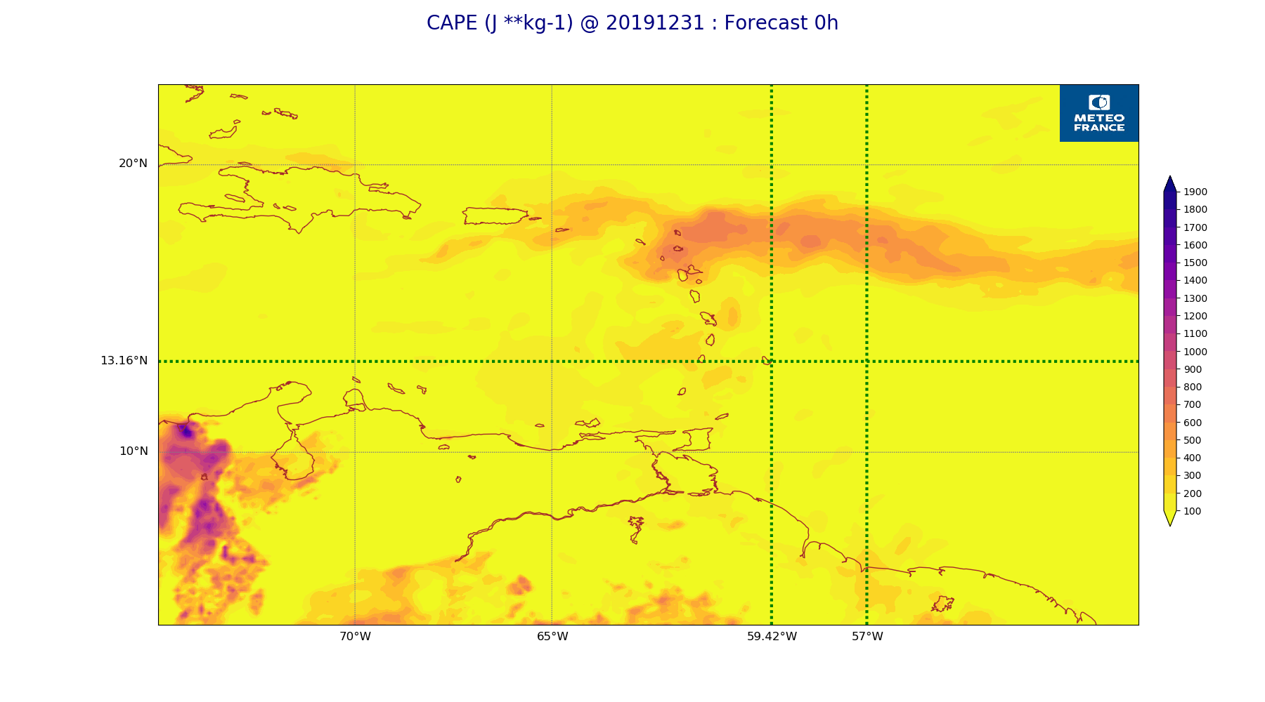
ARPEGE_map2D_CAPE_20191231_fct_0.png
2019-12-31 12:07
211K
ARPEGE_map2D_High_CC_sup_450hPa_20191231_fct_36.png
2019-12-31 12:02
211K
ARPEGE_map2D_U_850hPa_20191231_fct_24.png
2019-12-31 11:55
211K
ARPEGE_map2D_U_850hPa_20191231_fct_48.png
2019-12-31 11:55
213K
ARPEGE_map2D_U_850hPa_20191231_fct_36.png
2019-12-31 11:55
214K
ARPEGE_map2D_High_CC_sup_450hPa_20191231_fct_48.png
2019-12-31 12:02
215K
ARPEGE_map2D_PRW_20191231_fct_48.png
2019-12-31 12:03
217K
ARPEGE_map2D_Vertical_velocity_500hPa_20191231_fct_24.png
2019-12-31 11:55
218K
ARPEGE_map2D_v10_20191231_fct_0.png
2019-12-31 12:04
218K
ARPEGE_map2D_Vertical_velocity_500hPa_20191231_fct_12.png
2019-12-31 11:54
220K
ARPEGE_map2D_v10_20191231_fct_12.png
2019-12-31 12:04
224K
ARPEGE_map2D_Vertical_velocity_500hPa_20191231_fct_48.png
2019-12-31 11:55
225K
ARPEGE_map2D_Cum_3h_RAIN_20191231_fct_36.png
2019-12-31 12:02
225K
ARPEGE_map2D_PRW_20191231_fct_0.png
2019-12-31 12:03
225K
ARPEGE_map2D_v10_20191231_fct_24.png
2019-12-31 12:04
226K
ARPEGE_map2D_Fraction_cloud_cover_500hPa_20191231_fct_12.png
2019-12-31 11:56
227K
ARPEGE_map2D_v10_20191231_fct_48.png
2019-12-31 12:04
228K
ARPEGE_map2D_Vertical_velocity_500hPa_20191231_fct_36.png
2019-12-31 11:55
228K
ARPEGE_map2D_PRW_20191231_fct_24.png
2019-12-31 12:03
228K
ARPEGE_map2D_Cum_3h_RAIN_20191231_fct_24.png
2019-12-31 12:02
229K
ARPEGE_map2D_u10_20191231_fct_0.png
2019-12-31 12:03
229K
ARPEGE_map2D_PRW_20191231_fct_36.png
2019-12-31 12:03
229K
ARPEGE_map2D_PRW_20191231_fct_12.png
2019-12-31 12:03
231K
ARPEGE_map2D_Fraction_cloud_cover_500hPa_20191231_fct_24.png
2019-12-31 11:56
232K
ARPEGE_map2D_v10_20191231_fct_36.png
2019-12-31 12:04
233K
ARPEGE_map2D_u10_20191231_fct_12.png
2019-12-31 12:03
234K
ARPEGE_map2D_Vertical_velocity_500hPa_20191231_fct_0.png
2019-12-31 11:54
234K
ARPEGE_map2D_qv_925hPa_20191231_fct_0.png
2019-12-31 11:59
234K
ARPEGE_map2D_u10_20191231_fct_24.png
2019-12-31 12:03
236K
ARPEGE_map2D_Fraction_cloud_cover_200hPa_20191231_fct_48.png
2019-12-31 11:57
237K
ARPEGE_map2D_qv_925hPa_20191231_fct_12.png
2019-12-31 11:59
240K
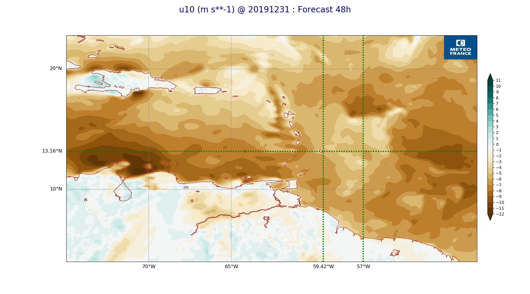
ARPEGE_map2D_u10_20191231_fct_48.png
2019-12-31 12:04
240K
ARPEGE_map2D_V_925hPa_20191231_fct_0.png
2019-12-31 11:56
243K
ARPEGE_map2D_qv_850hPa_20191231_fct_0.png
2019-12-31 11:59
243K
ARPEGE_map2D_Fraction_cloud_cover_200hPa_20191231_fct_36.png
2019-12-31 11:57
243K
ARPEGE_map2D_V_925hPa_20191231_fct_12.png
2019-12-31 11:56
244K
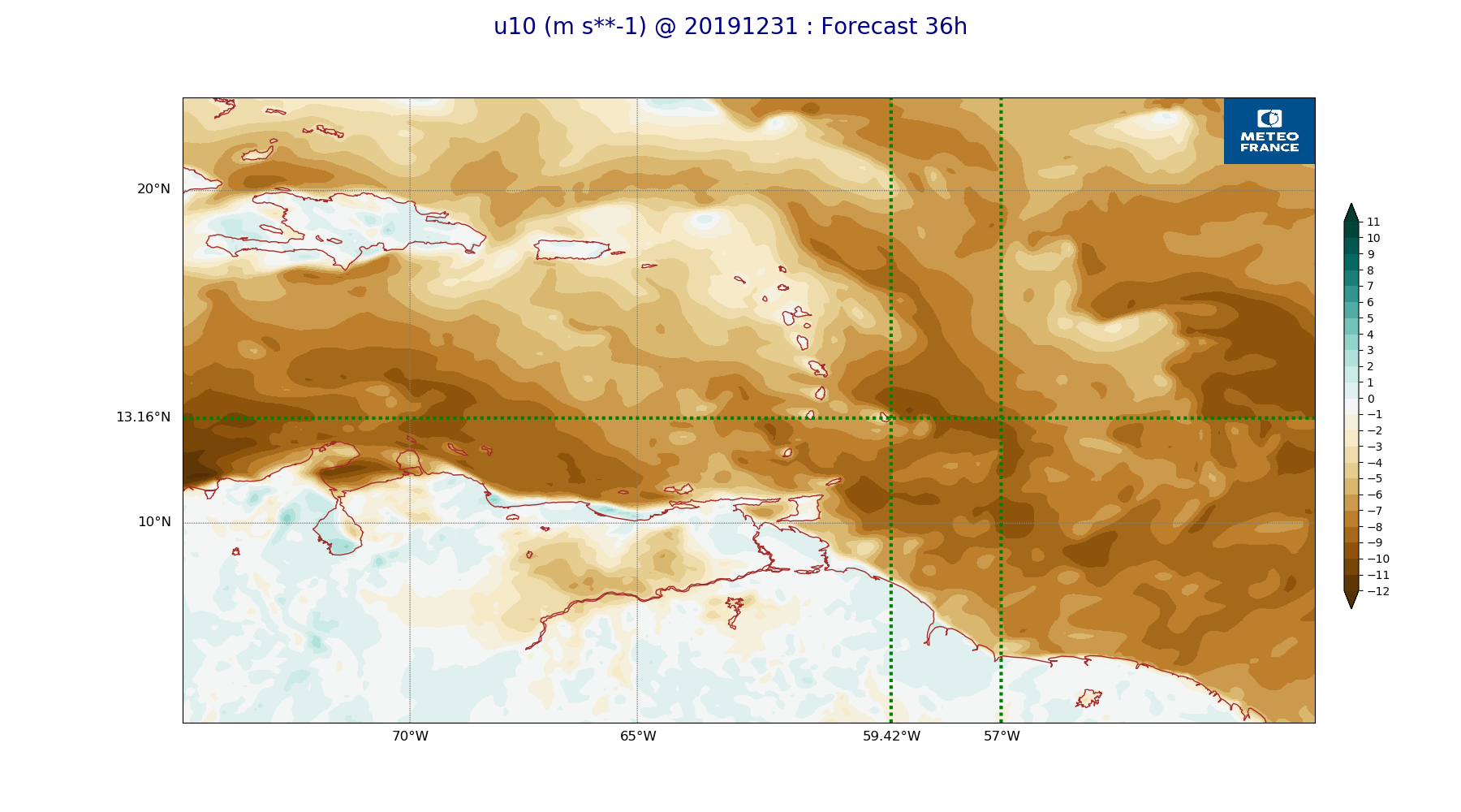
ARPEGE_map2D_u10_20191231_fct_36.png
2019-12-31 12:04
245K
ARPEGE_map2D_Vertical_velocity_700hPa_20191231_fct_24.png
2019-12-31 11:55
245K
ARPEGE_map2D_High_CC_sup_450hPa_20191231_fct_24.png
2019-12-31 12:01
248K
ARPEGE_map2D_qv_925hPa_20191231_fct_24.png
2019-12-31 11:59
250K
ARPEGE_map2D_Vertical_velocity_700hPa_20191231_fct_48.png
2019-12-31 11:55
250K
ARPEGE_map2D_V_925hPa_20191231_fct_24.png
2019-12-31 11:56
250K
ARPEGE_map2D_qv_850hPa_20191231_fct_12.png
2019-12-31 11:59
251K
ARPEGE_map2D_Vertical_velocity_700hPa_20191231_fct_12.png
2019-12-31 11:54
253K
ARPEGE_map2D_qv_925hPa_20191231_fct_48.png
2019-12-31 11:59
254K
ARPEGE_map2D_Vertical_velocity_700hPa_20191231_fct_0.png
2019-12-31 11:54
256K
ARPEGE_map2D_qv_925hPa_20191231_fct_36.png
2019-12-31 11:59
257K
ARPEGE_map2D_High_CC_sup_450hPa_20191231_fct_12.png
2019-12-31 12:01
258K
ARPEGE_map2D_V_850hPa_20191231_fct_0.png
2019-12-31 11:56
258K
ARPEGE_map2D_V_925hPa_20191231_fct_36.png
2019-12-31 11:56
259K
ARPEGE_map2D_V_925hPa_20191231_fct_48.png
2019-12-31 11:56
260K
ARPEGE_map2D_qv_850hPa_20191231_fct_24.png
2019-12-31 11:59
262K
ARPEGE_map2D_qv_850hPa_20191231_fct_48.png
2019-12-31 11:59
262K
ARPEGE_map2D_qv_850hPa_20191231_fct_36.png
2019-12-31 11:59
264K
ARPEGE_map2D_RH_700hPa_20191231_fct_24.png
2019-12-31 11:58
268K
ARPEGE_map2D_V_850hPa_20191231_fct_12.png
2019-12-31 11:56
268K
ARPEGE_map2D_V_850hPa_20191231_fct_24.png
2019-12-31 11:56
270K
ARPEGE_map2D_RH_700hPa_20191231_fct_0.png
2019-12-31 11:58
270K
ARPEGE_map2D_RH_700hPa_20191231_fct_12.png
2019-12-31 11:58
271K
ARPEGE_map2D_Vertical_velocity_700hPa_20191231_fct_36.png
2019-12-31 11:55
273K
ARPEGE_map2D_RH_700hPa_20191231_fct_48.png
2019-12-31 11:58
274K
ARPEGE_map2D_RH_700hPa_20191231_fct_36.png
2019-12-31 11:58
275K
ARPEGE_map2D_V_850hPa_20191231_fct_36.png
2019-12-31 11:56
277K
ARPEGE_map2D_V_850hPa_20191231_fct_48.png
2019-12-31 11:56
278K
ARPEGE_map2D_RH_850hPa_20191231_fct_0.png
2019-12-31 11:58
287K
ARPEGE_map2D_Vertical_velocity_850hPa_20191231_fct_24.png
2019-12-31 11:55
292K
ARPEGE_map2D_Vertical_velocity_850hPa_20191231_fct_12.png
2019-12-31 11:54
292K
ARPEGE_map2D_Vertical_velocity_850hPa_20191231_fct_0.png
2019-12-31 11:54
295K
ARPEGE_map2D_RH_850hPa_20191231_fct_12.png
2019-12-31 11:58
297K
ARPEGE_map2D_Fraction_cloud_cover_200hPa_20191231_fct_12.png
2019-12-31 11:56
300K
ARPEGE_map2D_Vertical_velocity_850hPa_20191231_fct_48.png
2019-12-31 11:55
304K
ARPEGE_map2D_Fraction_cloud_cover_200hPa_20191231_fct_24.png
2019-12-31 11:56
306K
ARPEGE_map2D_RH_850hPa_20191231_fct_24.png
2019-12-31 11:58
309K
ARPEGE_map2D_RH_850hPa_20191231_fct_48.png
2019-12-31 11:58
311K
ARPEGE_map2D_RH_850hPa_20191231_fct_36.png
2019-12-31 11:58
314K
ARPEGE_map2D_Vertical_velocity_850hPa_20191231_fct_36.png
2019-12-31 11:55
315K
ARPEGE_map2D_Mid_CC_785_450hPa_20191231_fct_48.png
2019-12-31 12:01
386K
ARPEGE_map2D_Low_CC_inf_785hPa_20191231_fct_12.png
2019-12-31 12:00
391K
ARPEGE_map2D_Mid_CC_785_450hPa_20191231_fct_24.png
2019-12-31 12:01
407K
ARPEGE_map2D_Low_CC_inf_785hPa_20191231_fct_24.png
2019-12-31 12:00
413K
ARPEGE_map2D_Mid_CC_785_450hPa_20191231_fct_36.png
2019-12-31 12:01
419K
ARPEGE_map2D_Low_CC_inf_785hPa_20191231_fct_48.png
2019-12-31 12:00
428K
ARPEGE_map2D_Mid_CC_785_450hPa_20191231_fct_12.png
2019-12-31 12:01
431K
ARPEGE_map2D_Low_CC_inf_785hPa_20191231_fct_36.png
2019-12-31 12:00
440K
ARPEGE_map2D_Fraction_cloud_cover_925hPa_20191231_fct_48.png
2019-12-31 11:57
551K
ARPEGE_map2D_Fraction_cloud_cover_850hPa_20191231_fct_48.png
2019-12-31 11:57
556K
ARPEGE_map2D_Fraction_cloud_cover_850hPa_20191231_fct_36.png
2019-12-31 11:57
598K
ARPEGE_map2D_Fraction_cloud_cover_925hPa_20191231_fct_24.png
2019-12-31 11:57
611K
ARPEGE_map2D_Fraction_cloud_cover_850hPa_20191231_fct_24.png
2019-12-31 11:56
627K
ARPEGE_map2D_Fraction_cloud_cover_925hPa_20191231_fct_36.png
2019-12-31 11:57
637K
ARPEGE_map2D_Fraction_cloud_cover_925hPa_20191231_fct_12.png
2019-12-31 11:56
644K
ARPEGE_map2D_Fraction_cloud_cover_850hPa_20191231_fct_12.png
2019-12-31 11:56
646K