Index of /aeris/eurec4a-data/FORECASTS/GLOBAL/ARPEGE/2020/20200103/map2D
Name
Last modified
Size
Parent Directory
-
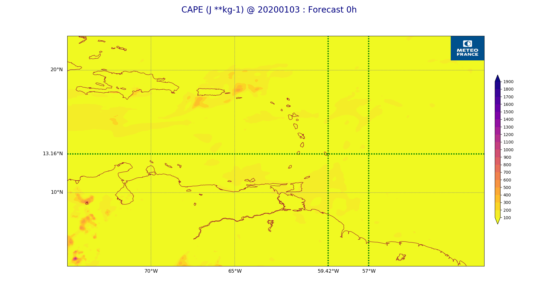
ARPEGE_map2D_CAPE_20200103_fct_0.png
2020-01-03 11:56
177K
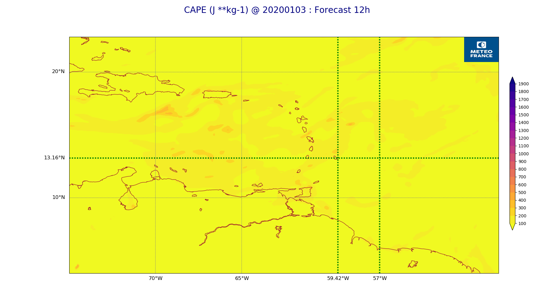
ARPEGE_map2D_CAPE_20200103_fct_12.png
2020-01-03 11:56
177K
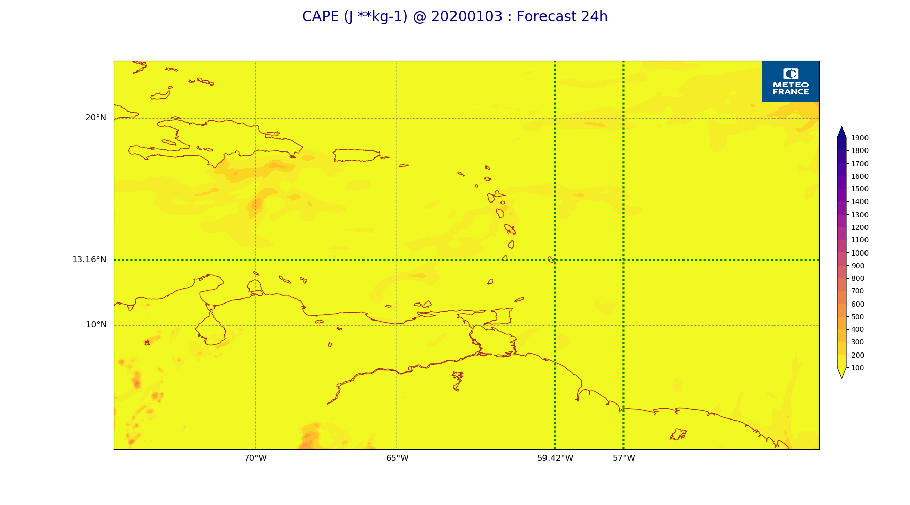
ARPEGE_map2D_CAPE_20200103_fct_24.png
2020-01-03 11:57
177K
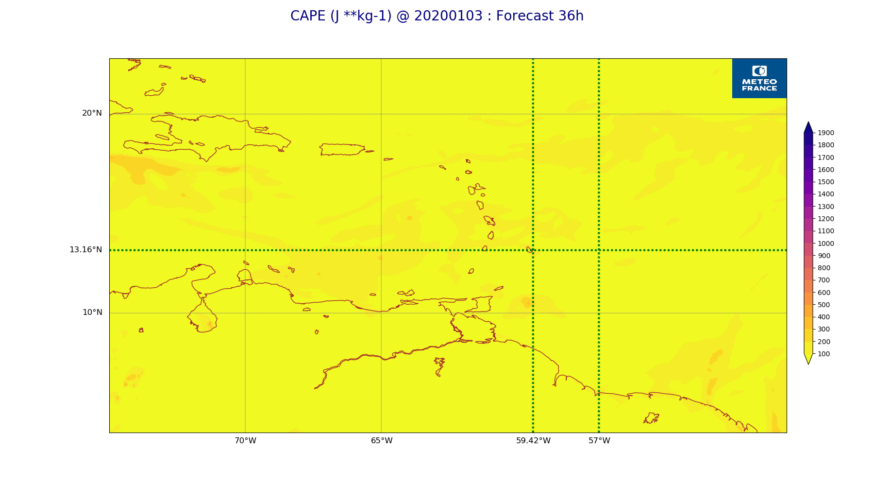
ARPEGE_map2D_CAPE_20200103_fct_36.png
2020-01-03 11:57
175K
ARPEGE_map2D_CAPE_20200103_fct_48.png
2020-01-03 11:57
181K
ARPEGE_map2D_Cum_3h_RAIN_20200103_fct_0.png
2020-01-03 11:52
151K
ARPEGE_map2D_Cum_3h_RAIN_20200103_fct_12.png
2020-01-03 11:52
208K
ARPEGE_map2D_Cum_3h_RAIN_20200103_fct_24.png
2020-01-03 11:52
177K
ARPEGE_map2D_Cum_3h_RAIN_20200103_fct_36.png
2020-01-03 11:52
225K
ARPEGE_map2D_Cum_3h_RAIN_20200103_fct_48.png
2020-01-03 11:52
235K
ARPEGE_map2D_Fraction_cloud_cover_200hPa_20200103_fct_0.png
2020-01-03 11:46
161K
ARPEGE_map2D_Fraction_cloud_cover_200hPa_20200103_fct_12.png
2020-01-03 11:46
223K
ARPEGE_map2D_Fraction_cloud_cover_200hPa_20200103_fct_24.png
2020-01-03 11:46
236K
ARPEGE_map2D_Fraction_cloud_cover_200hPa_20200103_fct_36.png
2020-01-03 11:46
235K
ARPEGE_map2D_Fraction_cloud_cover_200hPa_20200103_fct_48.png
2020-01-03 11:46
235K
ARPEGE_map2D_Fraction_cloud_cover_500hPa_20200103_fct_0.png
2020-01-03 11:46
161K
ARPEGE_map2D_Fraction_cloud_cover_500hPa_20200103_fct_12.png
2020-01-03 11:46
164K
ARPEGE_map2D_Fraction_cloud_cover_500hPa_20200103_fct_24.png
2020-01-03 11:46
172K
ARPEGE_map2D_Fraction_cloud_cover_500hPa_20200103_fct_36.png
2020-01-03 11:46
168K
ARPEGE_map2D_Fraction_cloud_cover_500hPa_20200103_fct_48.png
2020-01-03 11:46
170K
ARPEGE_map2D_Fraction_cloud_cover_850hPa_20200103_fct_0.png
2020-01-03 11:46
162K
ARPEGE_map2D_Fraction_cloud_cover_850hPa_20200103_fct_12.png
2020-01-03 11:46
542K
ARPEGE_map2D_Fraction_cloud_cover_850hPa_20200103_fct_24.png
2020-01-03 11:46
505K
ARPEGE_map2D_Fraction_cloud_cover_850hPa_20200103_fct_36.png
2020-01-03 11:46
586K
ARPEGE_map2D_Fraction_cloud_cover_850hPa_20200103_fct_48.png
2020-01-03 11:46
610K
ARPEGE_map2D_Fraction_cloud_cover_925hPa_20200103_fct_0.png
2020-01-03 11:46
161K
ARPEGE_map2D_Fraction_cloud_cover_925hPa_20200103_fct_12.png
2020-01-03 11:46
604K
ARPEGE_map2D_Fraction_cloud_cover_925hPa_20200103_fct_24.png
2020-01-03 11:46
521K
ARPEGE_map2D_Fraction_cloud_cover_925hPa_20200103_fct_36.png
2020-01-03 11:46
609K
ARPEGE_map2D_Fraction_cloud_cover_925hPa_20200103_fct_48.png
2020-01-03 11:47
552K
ARPEGE_map2D_Geopotential_0_7_PVU_20200103_fct_0.png
2020-01-03 11:49
197K
ARPEGE_map2D_Geopotential_0_7_PVU_20200103_fct_12.png
2020-01-03 11:49
199K
ARPEGE_map2D_Geopotential_0_7_PVU_20200103_fct_24.png
2020-01-03 11:49
201K
ARPEGE_map2D_Geopotential_0_7_PVU_20200103_fct_36.png
2020-01-03 11:49
200K
ARPEGE_map2D_Geopotential_0_7_PVU_20200103_fct_48.png
2020-01-03 11:49
202K
ARPEGE_map2D_High_CC_sup_450hPa_20200103_fct_0.png
2020-01-03 11:51
168K
ARPEGE_map2D_High_CC_sup_450hPa_20200103_fct_12.png
2020-01-03 11:51
189K
ARPEGE_map2D_High_CC_sup_450hPa_20200103_fct_24.png
2020-01-03 11:51
207K
ARPEGE_map2D_High_CC_sup_450hPa_20200103_fct_36.png
2020-01-03 11:51
189K
ARPEGE_map2D_High_CC_sup_450hPa_20200103_fct_48.png
2020-01-03 11:51
225K
ARPEGE_map2D_IWP_20200103_fct_0.png
2020-01-03 11:55
151K
ARPEGE_map2D_IWP_20200103_fct_12.png
2020-01-03 11:55
151K
ARPEGE_map2D_IWP_20200103_fct_24.png
2020-01-03 11:55
151K
ARPEGE_map2D_IWP_20200103_fct_36.png
2020-01-03 11:55
152K
ARPEGE_map2D_IWP_20200103_fct_48.png
2020-01-03 11:55
152K
ARPEGE_map2D_LWP_20200103_fct_0.png
2020-01-03 11:54
141K
ARPEGE_map2D_LWP_20200103_fct_12.png
2020-01-03 11:54
141K
ARPEGE_map2D_LWP_20200103_fct_24.png
2020-01-03 11:55
141K
ARPEGE_map2D_LWP_20200103_fct_36.png
2020-01-03 11:55
142K
ARPEGE_map2D_LWP_20200103_fct_48.png
2020-01-03 11:55
142K
ARPEGE_map2D_Low_CC_inf_785hPa_20200103_fct_0.png
2020-01-03 11:50
167K
ARPEGE_map2D_Low_CC_inf_785hPa_20200103_fct_12.png
2020-01-03 11:50
430K
ARPEGE_map2D_Low_CC_inf_785hPa_20200103_fct_24.png
2020-01-03 11:50
435K
ARPEGE_map2D_Low_CC_inf_785hPa_20200103_fct_36.png
2020-01-03 11:50
444K
ARPEGE_map2D_Low_CC_inf_785hPa_20200103_fct_48.png
2020-01-03 11:50
464K
ARPEGE_map2D_Mid_CC_785_450hPa_20200103_fct_0.png
2020-01-03 11:50
168K
ARPEGE_map2D_Mid_CC_785_450hPa_20200103_fct_12.png
2020-01-03 11:50
408K
ARPEGE_map2D_Mid_CC_785_450hPa_20200103_fct_24.png
2020-01-03 11:50
368K
ARPEGE_map2D_Mid_CC_785_450hPa_20200103_fct_36.png
2020-01-03 11:51
390K
ARPEGE_map2D_Mid_CC_785_450hPa_20200103_fct_48.png
2020-01-03 11:51
413K
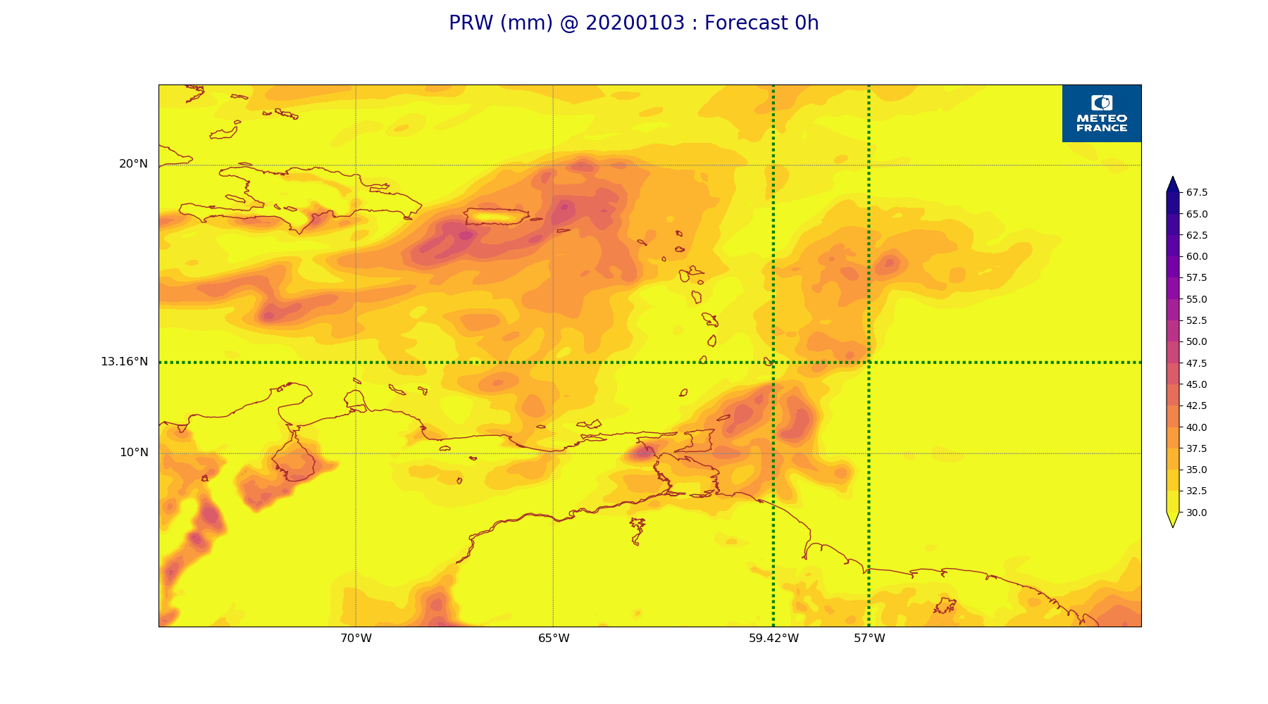
ARPEGE_map2D_PRW_20200103_fct_0.png
2020-01-03 11:52
205K
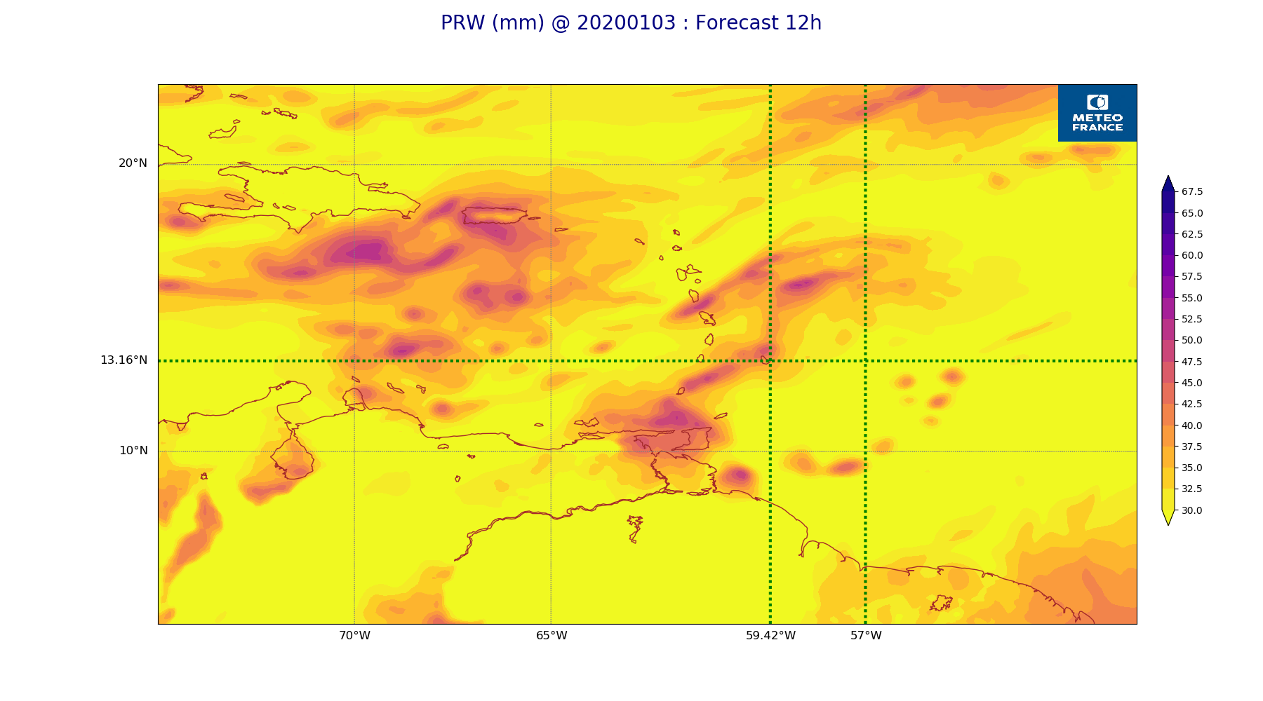
ARPEGE_map2D_PRW_20200103_fct_12.png
2020-01-03 11:52
212K
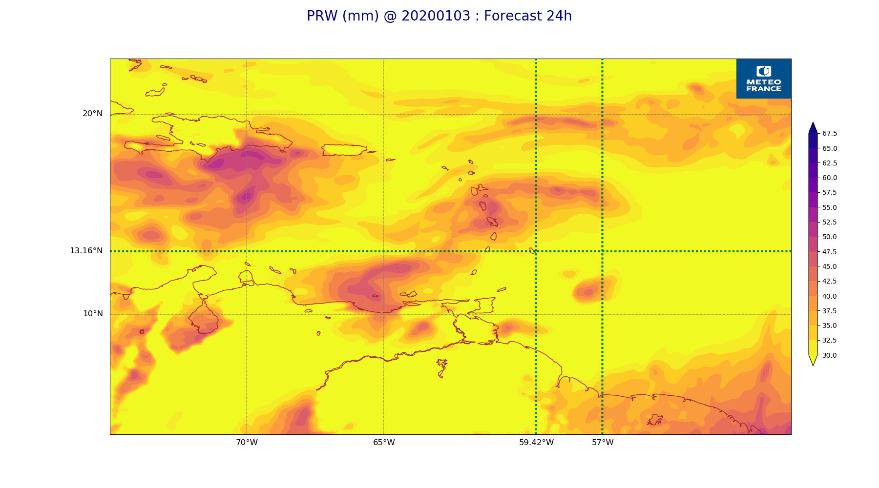
ARPEGE_map2D_PRW_20200103_fct_24.png
2020-01-03 11:53
211K
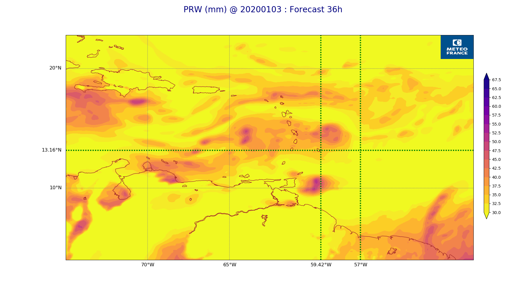
ARPEGE_map2D_PRW_20200103_fct_36.png
2020-01-03 11:53
212K
ARPEGE_map2D_PRW_20200103_fct_48.png
2020-01-03 11:53
212K
ARPEGE_map2D_Psfc_20200103_fct_0.png
2020-01-03 11:56
148K
ARPEGE_map2D_Psfc_20200103_fct_12.png
2020-01-03 11:56
148K
ARPEGE_map2D_Psfc_20200103_fct_24.png
2020-01-03 11:56
148K
ARPEGE_map2D_Psfc_20200103_fct_36.png
2020-01-03 11:56
148K
ARPEGE_map2D_Psfc_20200103_fct_48.png
2020-01-03 11:56
148K
ARPEGE_map2D_RH_500hPa_20200103_fct_0.png
2020-01-03 11:48
163K
ARPEGE_map2D_RH_500hPa_20200103_fct_12.png
2020-01-03 11:48
162K
ARPEGE_map2D_RH_500hPa_20200103_fct_24.png
2020-01-03 11:48
168K
ARPEGE_map2D_RH_500hPa_20200103_fct_36.png
2020-01-03 11:48
165K
ARPEGE_map2D_RH_500hPa_20200103_fct_48.png
2020-01-03 11:48
166K
ARPEGE_map2D_RH_700hPa_20200103_fct_0.png
2020-01-03 11:48
253K
ARPEGE_map2D_RH_700hPa_20200103_fct_12.png
2020-01-03 11:48
245K
ARPEGE_map2D_RH_700hPa_20200103_fct_24.png
2020-01-03 11:48
264K
ARPEGE_map2D_RH_700hPa_20200103_fct_36.png
2020-01-03 11:48
229K
ARPEGE_map2D_RH_700hPa_20200103_fct_48.png
2020-01-03 11:48
230K
ARPEGE_map2D_RH_850hPa_20200103_fct_0.png
2020-01-03 11:48
300K
ARPEGE_map2D_RH_850hPa_20200103_fct_12.png
2020-01-03 11:48
306K
ARPEGE_map2D_RH_850hPa_20200103_fct_24.png
2020-01-03 11:48
307K
ARPEGE_map2D_RH_850hPa_20200103_fct_36.png
2020-01-03 11:48
311K
ARPEGE_map2D_RH_850hPa_20200103_fct_48.png
2020-01-03 11:48
325K
ARPEGE_map2D_T_500hPa_20200103_fct_0.png
2020-01-03 11:47
155K
ARPEGE_map2D_T_500hPa_20200103_fct_12.png
2020-01-03 11:47
157K
ARPEGE_map2D_T_500hPa_20200103_fct_24.png
2020-01-03 11:47
159K
ARPEGE_map2D_T_500hPa_20200103_fct_36.png
2020-01-03 11:47
165K
ARPEGE_map2D_T_500hPa_20200103_fct_48.png
2020-01-03 11:47
160K
ARPEGE_map2D_T_850hPa_20200103_fct_0.png
2020-01-03 11:47
180K
ARPEGE_map2D_T_850hPa_20200103_fct_12.png
2020-01-03 11:47
178K
ARPEGE_map2D_T_850hPa_20200103_fct_24.png
2020-01-03 11:47
178K
ARPEGE_map2D_T_850hPa_20200103_fct_36.png
2020-01-03 11:47
179K
ARPEGE_map2D_T_850hPa_20200103_fct_48.png
2020-01-03 11:47
179K
ARPEGE_map2D_T_925hPa_20200103_fct_0.png
2020-01-03 11:47
188K
ARPEGE_map2D_T_925hPa_20200103_fct_12.png
2020-01-03 11:47
195K
ARPEGE_map2D_T_925hPa_20200103_fct_24.png
2020-01-03 11:47
190K
ARPEGE_map2D_T_925hPa_20200103_fct_36.png
2020-01-03 11:47
193K
ARPEGE_map2D_T_925hPa_20200103_fct_48.png
2020-01-03 11:48
190K
ARPEGE_map2D_U_200hPa_20200103_fct_0.png
2020-01-03 11:45
189K
ARPEGE_map2D_U_200hPa_20200103_fct_12.png
2020-01-03 11:45
194K
ARPEGE_map2D_U_200hPa_20200103_fct_24.png
2020-01-03 11:45
195K
ARPEGE_map2D_U_200hPa_20200103_fct_36.png
2020-01-03 11:45
194K
ARPEGE_map2D_U_200hPa_20200103_fct_48.png
2020-01-03 11:45
190K
ARPEGE_map2D_U_500hPa_20200103_fct_0.png
2020-01-03 11:45
181K
ARPEGE_map2D_U_500hPa_20200103_fct_12.png
2020-01-03 11:45
184K
ARPEGE_map2D_U_500hPa_20200103_fct_24.png
2020-01-03 11:45
184K
ARPEGE_map2D_U_500hPa_20200103_fct_36.png
2020-01-03 11:45
181K
ARPEGE_map2D_U_500hPa_20200103_fct_48.png
2020-01-03 11:45
179K
ARPEGE_map2D_U_850hPa_20200103_fct_0.png
2020-01-03 11:45
210K
ARPEGE_map2D_U_850hPa_20200103_fct_12.png
2020-01-03 11:45
214K
ARPEGE_map2D_U_850hPa_20200103_fct_24.png
2020-01-03 11:45
215K
ARPEGE_map2D_U_850hPa_20200103_fct_36.png
2020-01-03 11:45
215K
ARPEGE_map2D_U_850hPa_20200103_fct_48.png
2020-01-03 11:45
221K
ARPEGE_map2D_U_925hPa_20200103_fct_0.png
2020-01-03 11:45
207K
ARPEGE_map2D_U_925hPa_20200103_fct_12.png
2020-01-03 11:45
208K
ARPEGE_map2D_U_925hPa_20200103_fct_24.png
2020-01-03 11:45
211K
ARPEGE_map2D_U_925hPa_20200103_fct_36.png
2020-01-03 11:45
206K
ARPEGE_map2D_U_925hPa_20200103_fct_48.png
2020-01-03 11:45
207K
ARPEGE_map2D_V_200hPa_20200103_fct_0.png
2020-01-03 11:45
185K
ARPEGE_map2D_V_200hPa_20200103_fct_12.png
2020-01-03 11:45
187K
ARPEGE_map2D_V_200hPa_20200103_fct_24.png
2020-01-03 11:45
194K
ARPEGE_map2D_V_200hPa_20200103_fct_36.png
2020-01-03 11:46
191K
ARPEGE_map2D_V_200hPa_20200103_fct_48.png
2020-01-03 11:46
197K
ARPEGE_map2D_V_500hPa_20200103_fct_0.png
2020-01-03 11:45
207K
ARPEGE_map2D_V_500hPa_20200103_fct_12.png
2020-01-03 11:45
196K
ARPEGE_map2D_V_500hPa_20200103_fct_24.png
2020-01-03 11:46
195K
ARPEGE_map2D_V_500hPa_20200103_fct_36.png
2020-01-03 11:46
201K
ARPEGE_map2D_V_500hPa_20200103_fct_48.png
2020-01-03 11:46
199K
ARPEGE_map2D_V_850hPa_20200103_fct_0.png
2020-01-03 11:45
269K
ARPEGE_map2D_V_850hPa_20200103_fct_12.png
2020-01-03 11:45
274K
ARPEGE_map2D_V_850hPa_20200103_fct_24.png
2020-01-03 11:46
271K
ARPEGE_map2D_V_850hPa_20200103_fct_36.png
2020-01-03 11:46
274K
ARPEGE_map2D_V_850hPa_20200103_fct_48.png
2020-01-03 11:46
278K
ARPEGE_map2D_V_925hPa_20200103_fct_0.png
2020-01-03 11:45
257K
ARPEGE_map2D_V_925hPa_20200103_fct_12.png
2020-01-03 11:45
258K
ARPEGE_map2D_V_925hPa_20200103_fct_24.png
2020-01-03 11:46
261K
ARPEGE_map2D_V_925hPa_20200103_fct_36.png
2020-01-03 11:46
255K
ARPEGE_map2D_V_925hPa_20200103_fct_48.png
2020-01-03 11:46
259K
ARPEGE_map2D_Vertical_velocity_500hPa_20200103_fct_0.png
2020-01-03 11:44
233K
ARPEGE_map2D_Vertical_velocity_500hPa_20200103_fct_12.png
2020-01-03 11:44
234K
ARPEGE_map2D_Vertical_velocity_500hPa_20200103_fct_24.png
2020-01-03 11:44
241K
ARPEGE_map2D_Vertical_velocity_500hPa_20200103_fct_36.png
2020-01-03 11:44
236K
ARPEGE_map2D_Vertical_velocity_500hPa_20200103_fct_48.png
2020-01-03 11:44
224K
ARPEGE_map2D_Vertical_velocity_700hPa_20200103_fct_0.png
2020-01-03 11:44
243K
ARPEGE_map2D_Vertical_velocity_700hPa_20200103_fct_12.png
2020-01-03 11:44
253K
ARPEGE_map2D_Vertical_velocity_700hPa_20200103_fct_24.png
2020-01-03 11:44
253K
ARPEGE_map2D_Vertical_velocity_700hPa_20200103_fct_36.png
2020-01-03 11:44
243K
ARPEGE_map2D_Vertical_velocity_700hPa_20200103_fct_48.png
2020-01-03 11:44
237K
ARPEGE_map2D_Vertical_velocity_850hPa_20200103_fct_0.png
2020-01-03 11:44
296K
ARPEGE_map2D_Vertical_velocity_850hPa_20200103_fct_12.png
2020-01-03 11:44
312K
ARPEGE_map2D_Vertical_velocity_850hPa_20200103_fct_24.png
2020-01-03 11:44
308K
ARPEGE_map2D_Vertical_velocity_850hPa_20200103_fct_36.png
2020-01-03 11:44
302K
ARPEGE_map2D_Vertical_velocity_850hPa_20200103_fct_48.png
2020-01-03 11:45
300K
ARPEGE_map2D_qv_500hPa_20200103_fct_0.png
2020-01-03 11:48
158K
ARPEGE_map2D_qv_500hPa_20200103_fct_12.png
2020-01-03 11:48
158K
ARPEGE_map2D_qv_500hPa_20200103_fct_24.png
2020-01-03 11:48
158K
ARPEGE_map2D_qv_500hPa_20200103_fct_36.png
2020-01-03 11:49
158K
ARPEGE_map2D_qv_500hPa_20200103_fct_48.png
2020-01-03 11:49
158K
ARPEGE_map2D_qv_850hPa_20200103_fct_0.png
2020-01-03 11:48
255K
ARPEGE_map2D_qv_850hPa_20200103_fct_12.png
2020-01-03 11:48
257K
ARPEGE_map2D_qv_850hPa_20200103_fct_24.png
2020-01-03 11:48
259K
ARPEGE_map2D_qv_850hPa_20200103_fct_36.png
2020-01-03 11:49
255K
ARPEGE_map2D_qv_850hPa_20200103_fct_48.png
2020-01-03 11:49
266K
ARPEGE_map2D_qv_925hPa_20200103_fct_0.png
2020-01-03 11:48
256K
ARPEGE_map2D_qv_925hPa_20200103_fct_12.png
2020-01-03 11:48
260K
ARPEGE_map2D_qv_925hPa_20200103_fct_24.png
2020-01-03 11:49
263K
ARPEGE_map2D_qv_925hPa_20200103_fct_36.png
2020-01-03 11:49
250K
ARPEGE_map2D_qv_925hPa_20200103_fct_48.png
2020-01-03 11:49
256K
ARPEGE_map2D_theta_500hPa_20200103_fct_0.png
2020-01-03 11:47
154K
ARPEGE_map2D_theta_500hPa_20200103_fct_12.png
2020-01-03 11:47
154K
ARPEGE_map2D_theta_500hPa_20200103_fct_24.png
2020-01-03 11:47
157K
ARPEGE_map2D_theta_500hPa_20200103_fct_36.png
2020-01-03 11:47
158K
ARPEGE_map2D_theta_500hPa_20200103_fct_48.png
2020-01-03 11:47
154K
ARPEGE_map2D_theta_850hPa_20200103_fct_0.png
2020-01-03 11:47
177K
ARPEGE_map2D_theta_850hPa_20200103_fct_12.png
2020-01-03 11:47
181K
ARPEGE_map2D_theta_850hPa_20200103_fct_24.png
2020-01-03 11:47
179K
ARPEGE_map2D_theta_850hPa_20200103_fct_36.png
2020-01-03 11:47
184K
ARPEGE_map2D_theta_850hPa_20200103_fct_48.png
2020-01-03 11:47
181K
ARPEGE_map2D_theta_925hPa_20200103_fct_0.png
2020-01-03 11:47
189K
ARPEGE_map2D_theta_925hPa_20200103_fct_12.png
2020-01-03 11:47
197K
ARPEGE_map2D_theta_925hPa_20200103_fct_24.png
2020-01-03 11:47
191K
ARPEGE_map2D_theta_925hPa_20200103_fct_36.png
2020-01-03 11:47
194K
ARPEGE_map2D_theta_925hPa_20200103_fct_48.png
2020-01-03 11:47
189K
ARPEGE_map2D_u10_20200103_fct_0.png
2020-01-03 11:53
235K
ARPEGE_map2D_u10_20200103_fct_12.png
2020-01-03 11:53
242K
ARPEGE_map2D_u10_20200103_fct_24.png
2020-01-03 11:53
238K
ARPEGE_map2D_u10_20200103_fct_36.png
2020-01-03 11:53
240K
ARPEGE_map2D_u10_20200103_fct_48.png
2020-01-03 11:53
238K
ARPEGE_map2D_v10_20200103_fct_0.png
2020-01-03 11:54
228K
ARPEGE_map2D_v10_20200103_fct_12.png
2020-01-03 11:54
232K
ARPEGE_map2D_v10_20200103_fct_24.png
2020-01-03 11:54
224K
ARPEGE_map2D_v10_20200103_fct_36.png
2020-01-03 11:54
227K
ARPEGE_map2D_v10_20200103_fct_48.png
2020-01-03 11:54
230K