Index of /aeris/eurec4a-data/FORECASTS/GLOBAL/ARPEGE/2020/20200104/map2D
Name
Last modified
Size
Parent Directory
-
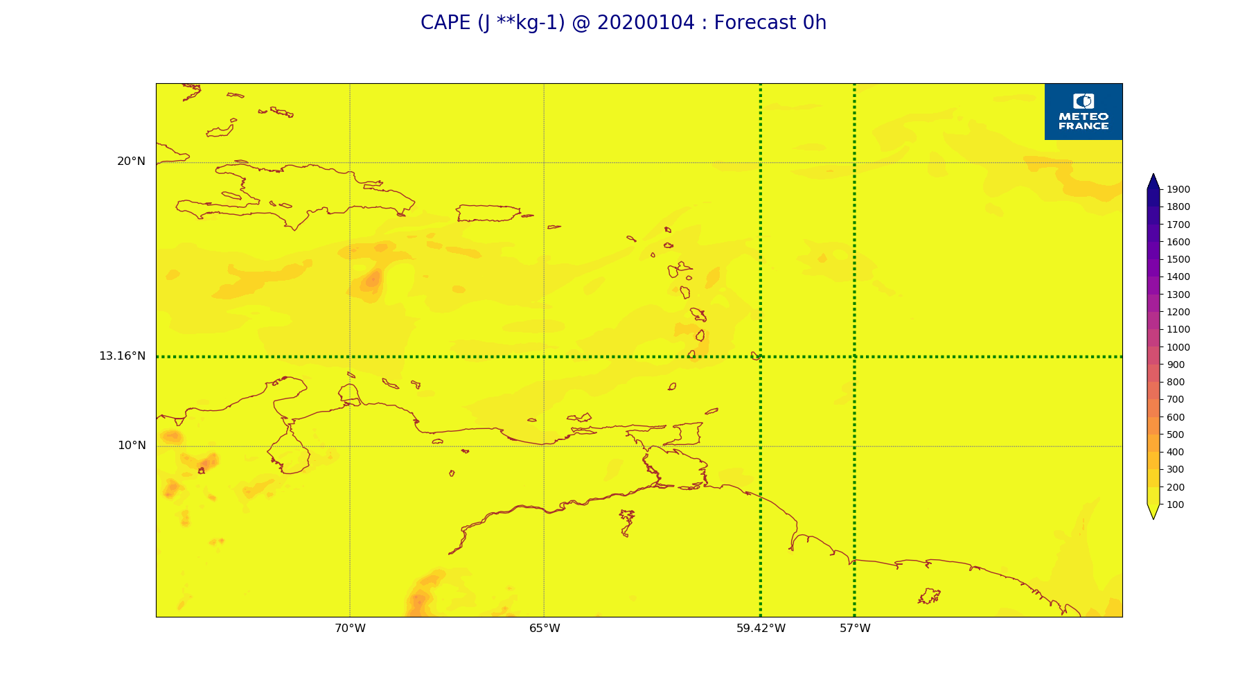
ARPEGE_map2D_CAPE_20200104_fct_0.png
2020-01-04 11:56
177K
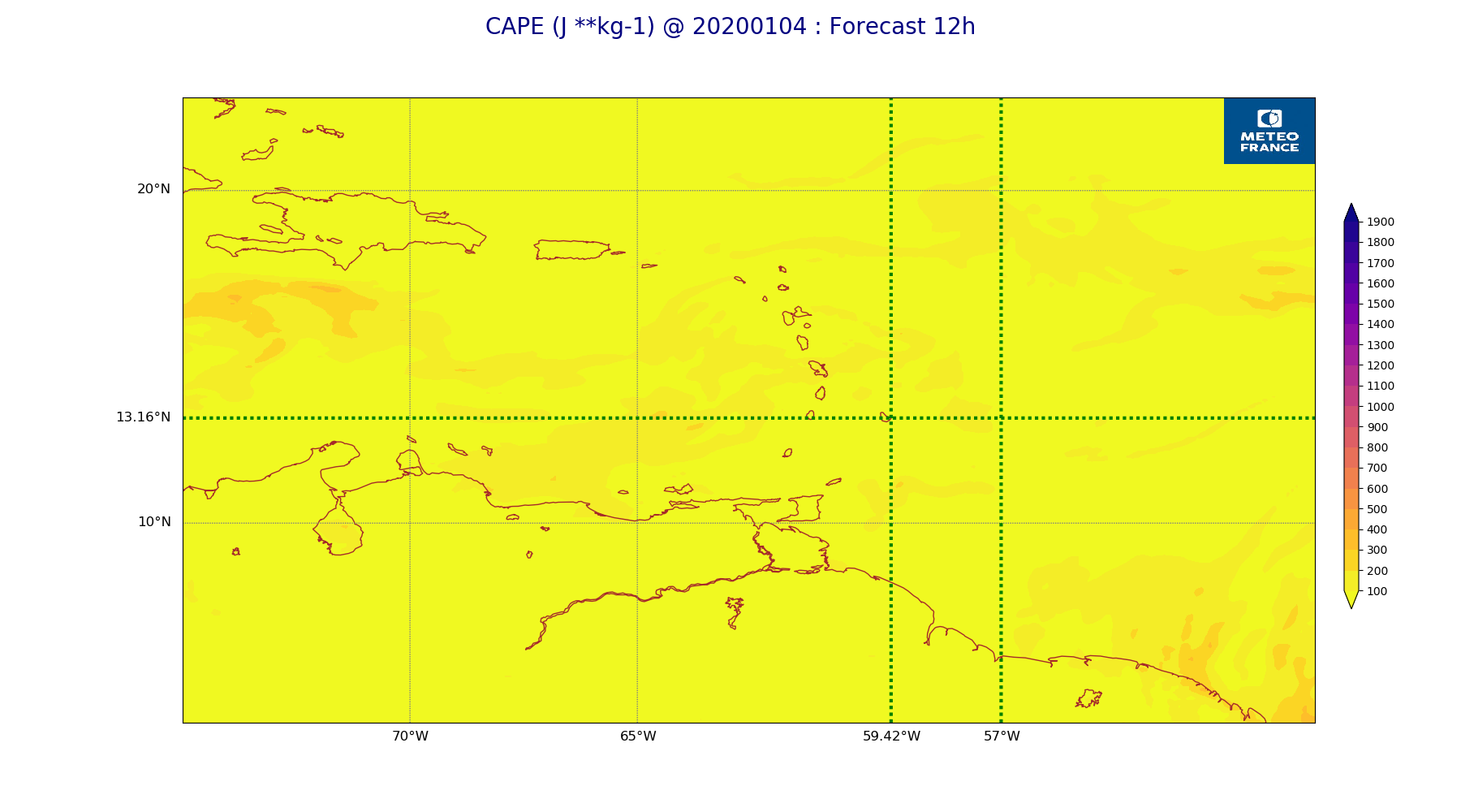
ARPEGE_map2D_CAPE_20200104_fct_12.png
2020-01-04 11:56
175K
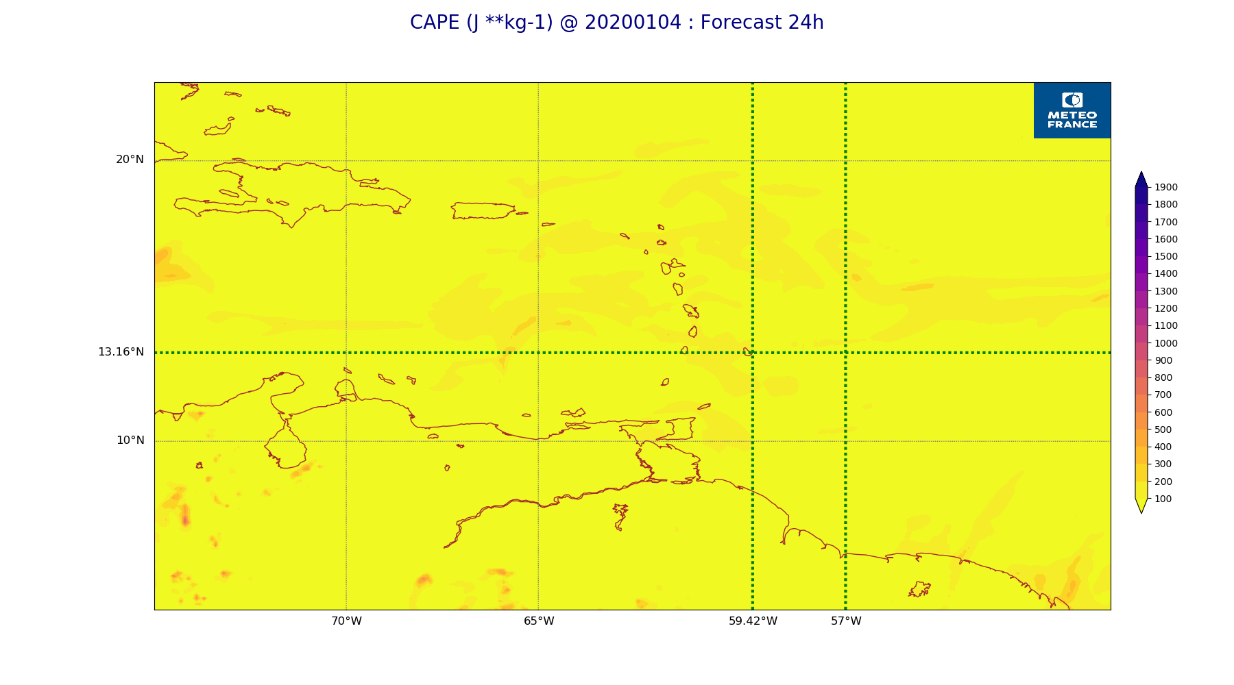
ARPEGE_map2D_CAPE_20200104_fct_24.png
2020-01-04 11:57
176K
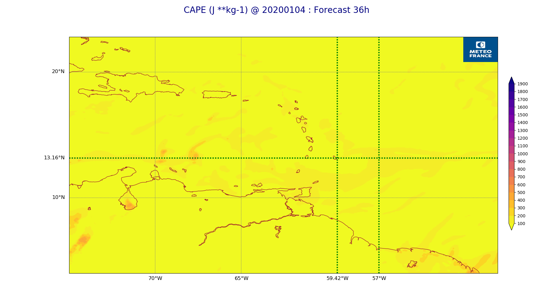
ARPEGE_map2D_CAPE_20200104_fct_36.png
2020-01-04 11:57
178K
ARPEGE_map2D_CAPE_20200104_fct_48.png
2020-01-04 11:57
175K
ARPEGE_map2D_Cum_3h_RAIN_20200104_fct_0.png
2020-01-04 11:52
151K
ARPEGE_map2D_Cum_3h_RAIN_20200104_fct_12.png
2020-01-04 11:52
208K
ARPEGE_map2D_Cum_3h_RAIN_20200104_fct_24.png
2020-01-04 11:52
233K
ARPEGE_map2D_Cum_3h_RAIN_20200104_fct_36.png
2020-01-04 11:52
231K
ARPEGE_map2D_Cum_3h_RAIN_20200104_fct_48.png
2020-01-04 11:52
182K
ARPEGE_map2D_Fraction_cloud_cover_200hPa_20200104_fct_0.png
2020-01-04 11:46
161K
ARPEGE_map2D_Fraction_cloud_cover_200hPa_20200104_fct_12.png
2020-01-04 11:46
231K
ARPEGE_map2D_Fraction_cloud_cover_200hPa_20200104_fct_24.png
2020-01-04 11:46
230K
ARPEGE_map2D_Fraction_cloud_cover_200hPa_20200104_fct_36.png
2020-01-04 11:46
213K
ARPEGE_map2D_Fraction_cloud_cover_200hPa_20200104_fct_48.png
2020-01-04 11:47
207K
ARPEGE_map2D_Fraction_cloud_cover_500hPa_20200104_fct_0.png
2020-01-04 11:46
161K
ARPEGE_map2D_Fraction_cloud_cover_500hPa_20200104_fct_12.png
2020-01-04 11:46
175K
ARPEGE_map2D_Fraction_cloud_cover_500hPa_20200104_fct_24.png
2020-01-04 11:46
168K
ARPEGE_map2D_Fraction_cloud_cover_500hPa_20200104_fct_36.png
2020-01-04 11:46
181K
ARPEGE_map2D_Fraction_cloud_cover_500hPa_20200104_fct_48.png
2020-01-04 11:47
167K
ARPEGE_map2D_Fraction_cloud_cover_850hPa_20200104_fct_0.png
2020-01-04 11:46
161K
ARPEGE_map2D_Fraction_cloud_cover_850hPa_20200104_fct_12.png
2020-01-04 11:46
579K
ARPEGE_map2D_Fraction_cloud_cover_850hPa_20200104_fct_24.png
2020-01-04 11:46
550K
ARPEGE_map2D_Fraction_cloud_cover_850hPa_20200104_fct_36.png
2020-01-04 11:46
592K
ARPEGE_map2D_Fraction_cloud_cover_850hPa_20200104_fct_48.png
2020-01-04 11:47
586K
ARPEGE_map2D_Fraction_cloud_cover_925hPa_20200104_fct_0.png
2020-01-04 11:46
161K
ARPEGE_map2D_Fraction_cloud_cover_925hPa_20200104_fct_12.png
2020-01-04 11:46
631K
ARPEGE_map2D_Fraction_cloud_cover_925hPa_20200104_fct_24.png
2020-01-04 11:46
539K
ARPEGE_map2D_Fraction_cloud_cover_925hPa_20200104_fct_36.png
2020-01-04 11:46
600K
ARPEGE_map2D_Fraction_cloud_cover_925hPa_20200104_fct_48.png
2020-01-04 11:47
563K
ARPEGE_map2D_Geopotential_0_7_PVU_20200104_fct_0.png
2020-01-04 11:49
202K
ARPEGE_map2D_Geopotential_0_7_PVU_20200104_fct_12.png
2020-01-04 11:49
199K
ARPEGE_map2D_Geopotential_0_7_PVU_20200104_fct_24.png
2020-01-04 11:49
201K
ARPEGE_map2D_Geopotential_0_7_PVU_20200104_fct_36.png
2020-01-04 11:49
205K
ARPEGE_map2D_Geopotential_0_7_PVU_20200104_fct_48.png
2020-01-04 11:49
206K
ARPEGE_map2D_High_CC_sup_450hPa_20200104_fct_0.png
2020-01-04 11:51
167K
ARPEGE_map2D_High_CC_sup_450hPa_20200104_fct_12.png
2020-01-04 11:51
186K
ARPEGE_map2D_High_CC_sup_450hPa_20200104_fct_24.png
2020-01-04 11:51
224K
ARPEGE_map2D_High_CC_sup_450hPa_20200104_fct_36.png
2020-01-04 11:51
257K
ARPEGE_map2D_High_CC_sup_450hPa_20200104_fct_48.png
2020-01-04 11:52
265K
ARPEGE_map2D_IWP_20200104_fct_0.png
2020-01-04 11:55
151K
ARPEGE_map2D_IWP_20200104_fct_12.png
2020-01-04 11:55
151K
ARPEGE_map2D_IWP_20200104_fct_24.png
2020-01-04 11:55
151K
ARPEGE_map2D_IWP_20200104_fct_36.png
2020-01-04 11:55
152K
ARPEGE_map2D_IWP_20200104_fct_48.png
2020-01-04 11:56
151K
ARPEGE_map2D_LWP_20200104_fct_0.png
2020-01-04 11:54
141K
ARPEGE_map2D_LWP_20200104_fct_12.png
2020-01-04 11:55
141K
ARPEGE_map2D_LWP_20200104_fct_24.png
2020-01-04 11:55
141K
ARPEGE_map2D_LWP_20200104_fct_36.png
2020-01-04 11:55
142K
ARPEGE_map2D_LWP_20200104_fct_48.png
2020-01-04 11:55
141K
ARPEGE_map2D_Low_CC_inf_785hPa_20200104_fct_0.png
2020-01-04 11:50
167K
ARPEGE_map2D_Low_CC_inf_785hPa_20200104_fct_12.png
2020-01-04 11:50
414K
ARPEGE_map2D_Low_CC_inf_785hPa_20200104_fct_24.png
2020-01-04 11:50
432K
ARPEGE_map2D_Low_CC_inf_785hPa_20200104_fct_36.png
2020-01-04 11:50
451K
ARPEGE_map2D_Low_CC_inf_785hPa_20200104_fct_48.png
2020-01-04 11:50
466K
ARPEGE_map2D_Mid_CC_785_450hPa_20200104_fct_0.png
2020-01-04 11:50
168K
ARPEGE_map2D_Mid_CC_785_450hPa_20200104_fct_12.png
2020-01-04 11:50
388K
ARPEGE_map2D_Mid_CC_785_450hPa_20200104_fct_24.png
2020-01-04 11:51
380K
ARPEGE_map2D_Mid_CC_785_450hPa_20200104_fct_36.png
2020-01-04 11:51
410K
ARPEGE_map2D_Mid_CC_785_450hPa_20200104_fct_48.png
2020-01-04 11:51
387K
ARPEGE_map2D_PRW_20200104_fct_0.png
2020-01-04 11:52
209K
ARPEGE_map2D_PRW_20200104_fct_12.png
2020-01-04 11:52
209K
ARPEGE_map2D_PRW_20200104_fct_24.png
2020-01-04 11:53
209K
ARPEGE_map2D_PRW_20200104_fct_36.png
2020-01-04 11:53
213K
ARPEGE_map2D_PRW_20200104_fct_48.png
2020-01-04 11:53
209K
ARPEGE_map2D_Psfc_20200104_fct_0.png
2020-01-04 11:56
148K
ARPEGE_map2D_Psfc_20200104_fct_12.png
2020-01-04 11:56
148K
ARPEGE_map2D_Psfc_20200104_fct_24.png
2020-01-04 11:56
148K
ARPEGE_map2D_Psfc_20200104_fct_36.png
2020-01-04 11:56
148K
ARPEGE_map2D_Psfc_20200104_fct_48.png
2020-01-04 11:56
148K
ARPEGE_map2D_RH_500hPa_20200104_fct_0.png
2020-01-04 11:48
166K
ARPEGE_map2D_RH_500hPa_20200104_fct_12.png
2020-01-04 11:48
166K
ARPEGE_map2D_RH_500hPa_20200104_fct_24.png
2020-01-04 11:48
166K
ARPEGE_map2D_RH_500hPa_20200104_fct_36.png
2020-01-04 11:48
165K
ARPEGE_map2D_RH_500hPa_20200104_fct_48.png
2020-01-04 11:48
166K
ARPEGE_map2D_RH_700hPa_20200104_fct_0.png
2020-01-04 11:48
255K
ARPEGE_map2D_RH_700hPa_20200104_fct_12.png
2020-01-04 11:48
230K
ARPEGE_map2D_RH_700hPa_20200104_fct_24.png
2020-01-04 11:48
235K
ARPEGE_map2D_RH_700hPa_20200104_fct_36.png
2020-01-04 11:48
228K
ARPEGE_map2D_RH_700hPa_20200104_fct_48.png
2020-01-04 11:48
237K
ARPEGE_map2D_RH_850hPa_20200104_fct_0.png
2020-01-04 11:48
299K
ARPEGE_map2D_RH_850hPa_20200104_fct_12.png
2020-01-04 11:48
301K
ARPEGE_map2D_RH_850hPa_20200104_fct_24.png
2020-01-04 11:48
320K
ARPEGE_map2D_RH_850hPa_20200104_fct_36.png
2020-01-04 11:48
322K
ARPEGE_map2D_RH_850hPa_20200104_fct_48.png
2020-01-04 11:48
325K
ARPEGE_map2D_T_500hPa_20200104_fct_0.png
2020-01-04 11:47
159K
ARPEGE_map2D_T_500hPa_20200104_fct_12.png
2020-01-04 11:47
163K
ARPEGE_map2D_T_500hPa_20200104_fct_24.png
2020-01-04 11:47
163K
ARPEGE_map2D_T_500hPa_20200104_fct_36.png
2020-01-04 11:47
166K
ARPEGE_map2D_T_500hPa_20200104_fct_48.png
2020-01-04 11:48
161K
ARPEGE_map2D_T_850hPa_20200104_fct_0.png
2020-01-04 11:47
179K
ARPEGE_map2D_T_850hPa_20200104_fct_12.png
2020-01-04 11:47
179K
ARPEGE_map2D_T_850hPa_20200104_fct_24.png
2020-01-04 11:47
177K
ARPEGE_map2D_T_850hPa_20200104_fct_36.png
2020-01-04 11:47
178K
ARPEGE_map2D_T_850hPa_20200104_fct_48.png
2020-01-04 11:48
179K
ARPEGE_map2D_T_925hPa_20200104_fct_0.png
2020-01-04 11:47
187K
ARPEGE_map2D_T_925hPa_20200104_fct_12.png
2020-01-04 11:47
189K
ARPEGE_map2D_T_925hPa_20200104_fct_24.png
2020-01-04 11:47
188K
ARPEGE_map2D_T_925hPa_20200104_fct_36.png
2020-01-04 11:48
193K
ARPEGE_map2D_T_925hPa_20200104_fct_48.png
2020-01-04 11:48
193K
ARPEGE_map2D_U_200hPa_20200104_fct_0.png
2020-01-04 11:45
194K
ARPEGE_map2D_U_200hPa_20200104_fct_12.png
2020-01-04 11:45
193K
ARPEGE_map2D_U_200hPa_20200104_fct_24.png
2020-01-04 11:45
195K
ARPEGE_map2D_U_200hPa_20200104_fct_36.png
2020-01-04 11:45
196K
ARPEGE_map2D_U_200hPa_20200104_fct_48.png
2020-01-04 11:45
193K
ARPEGE_map2D_U_500hPa_20200104_fct_0.png
2020-01-04 11:45
182K
ARPEGE_map2D_U_500hPa_20200104_fct_12.png
2020-01-04 11:45
181K
ARPEGE_map2D_U_500hPa_20200104_fct_24.png
2020-01-04 11:45
179K
ARPEGE_map2D_U_500hPa_20200104_fct_36.png
2020-01-04 11:45
184K
ARPEGE_map2D_U_500hPa_20200104_fct_48.png
2020-01-04 11:45
182K
ARPEGE_map2D_U_850hPa_20200104_fct_0.png
2020-01-04 11:45
212K
ARPEGE_map2D_U_850hPa_20200104_fct_12.png
2020-01-04 11:45
213K
ARPEGE_map2D_U_850hPa_20200104_fct_24.png
2020-01-04 11:45
220K
ARPEGE_map2D_U_850hPa_20200104_fct_36.png
2020-01-04 11:45
223K
ARPEGE_map2D_U_850hPa_20200104_fct_48.png
2020-01-04 11:45
224K
ARPEGE_map2D_U_925hPa_20200104_fct_0.png
2020-01-04 11:45
209K
ARPEGE_map2D_U_925hPa_20200104_fct_12.png
2020-01-04 11:45
206K
ARPEGE_map2D_U_925hPa_20200104_fct_24.png
2020-01-04 11:45
208K
ARPEGE_map2D_U_925hPa_20200104_fct_36.png
2020-01-04 11:45
212K
ARPEGE_map2D_U_925hPa_20200104_fct_48.png
2020-01-04 11:45
214K
ARPEGE_map2D_V_200hPa_20200104_fct_0.png
2020-01-04 11:45
194K
ARPEGE_map2D_V_200hPa_20200104_fct_12.png
2020-01-04 11:45
186K
ARPEGE_map2D_V_200hPa_20200104_fct_24.png
2020-01-04 11:46
199K
ARPEGE_map2D_V_200hPa_20200104_fct_36.png
2020-01-04 11:46
198K
ARPEGE_map2D_V_200hPa_20200104_fct_48.png
2020-01-04 11:46
194K
ARPEGE_map2D_V_500hPa_20200104_fct_0.png
2020-01-04 11:45
197K
ARPEGE_map2D_V_500hPa_20200104_fct_12.png
2020-01-04 11:45
198K
ARPEGE_map2D_V_500hPa_20200104_fct_24.png
2020-01-04 11:46
199K
ARPEGE_map2D_V_500hPa_20200104_fct_36.png
2020-01-04 11:46
201K
ARPEGE_map2D_V_500hPa_20200104_fct_48.png
2020-01-04 11:46
205K
ARPEGE_map2D_V_850hPa_20200104_fct_0.png
2020-01-04 11:45
269K
ARPEGE_map2D_V_850hPa_20200104_fct_12.png
2020-01-04 11:45
272K
ARPEGE_map2D_V_850hPa_20200104_fct_24.png
2020-01-04 11:46
277K
ARPEGE_map2D_V_850hPa_20200104_fct_36.png
2020-01-04 11:46
283K
ARPEGE_map2D_V_850hPa_20200104_fct_48.png
2020-01-04 11:46
288K
ARPEGE_map2D_V_925hPa_20200104_fct_0.png
2020-01-04 11:45
255K
ARPEGE_map2D_V_925hPa_20200104_fct_12.png
2020-01-04 11:46
254K
ARPEGE_map2D_V_925hPa_20200104_fct_24.png
2020-01-04 11:46
257K
ARPEGE_map2D_V_925hPa_20200104_fct_36.png
2020-01-04 11:46
267K
ARPEGE_map2D_V_925hPa_20200104_fct_48.png
2020-01-04 11:46
270K
ARPEGE_map2D_Vertical_velocity_500hPa_20200104_fct_0.png
2020-01-04 11:44
237K
ARPEGE_map2D_Vertical_velocity_500hPa_20200104_fct_12.png
2020-01-04 11:44
235K
ARPEGE_map2D_Vertical_velocity_500hPa_20200104_fct_24.png
2020-01-04 11:44
229K
ARPEGE_map2D_Vertical_velocity_500hPa_20200104_fct_36.png
2020-01-04 11:44
224K
ARPEGE_map2D_Vertical_velocity_500hPa_20200104_fct_48.png
2020-01-04 11:45
231K
ARPEGE_map2D_Vertical_velocity_700hPa_20200104_fct_0.png
2020-01-04 11:44
251K
ARPEGE_map2D_Vertical_velocity_700hPa_20200104_fct_12.png
2020-01-04 11:44
237K
ARPEGE_map2D_Vertical_velocity_700hPa_20200104_fct_24.png
2020-01-04 11:44
240K
ARPEGE_map2D_Vertical_velocity_700hPa_20200104_fct_36.png
2020-01-04 11:44
237K
ARPEGE_map2D_Vertical_velocity_700hPa_20200104_fct_48.png
2020-01-04 11:45
243K
ARPEGE_map2D_Vertical_velocity_850hPa_20200104_fct_0.png
2020-01-04 11:44
305K
ARPEGE_map2D_Vertical_velocity_850hPa_20200104_fct_12.png
2020-01-04 11:44
297K
ARPEGE_map2D_Vertical_velocity_850hPa_20200104_fct_24.png
2020-01-04 11:44
306K
ARPEGE_map2D_Vertical_velocity_850hPa_20200104_fct_36.png
2020-01-04 11:44
314K
ARPEGE_map2D_Vertical_velocity_850hPa_20200104_fct_48.png
2020-01-04 11:45
307K
ARPEGE_map2D_qv_500hPa_20200104_fct_0.png
2020-01-04 11:48
158K
ARPEGE_map2D_qv_500hPa_20200104_fct_12.png
2020-01-04 11:48
158K
ARPEGE_map2D_qv_500hPa_20200104_fct_24.png
2020-01-04 11:49
158K
ARPEGE_map2D_qv_500hPa_20200104_fct_36.png
2020-01-04 11:49
158K
ARPEGE_map2D_qv_500hPa_20200104_fct_48.png
2020-01-04 11:49
158K
ARPEGE_map2D_qv_850hPa_20200104_fct_0.png
2020-01-04 11:48
254K
ARPEGE_map2D_qv_850hPa_20200104_fct_12.png
2020-01-04 11:48
250K
ARPEGE_map2D_qv_850hPa_20200104_fct_24.png
2020-01-04 11:49
262K
ARPEGE_map2D_qv_850hPa_20200104_fct_36.png
2020-01-04 11:49
264K
ARPEGE_map2D_qv_850hPa_20200104_fct_48.png
2020-01-04 11:49
268K
ARPEGE_map2D_qv_925hPa_20200104_fct_0.png
2020-01-04 11:48
253K
ARPEGE_map2D_qv_925hPa_20200104_fct_12.png
2020-01-04 11:48
250K
ARPEGE_map2D_qv_925hPa_20200104_fct_24.png
2020-01-04 11:49
255K
ARPEGE_map2D_qv_925hPa_20200104_fct_36.png
2020-01-04 11:49
259K
ARPEGE_map2D_qv_925hPa_20200104_fct_48.png
2020-01-04 11:49
264K
ARPEGE_map2D_theta_500hPa_20200104_fct_0.png
2020-01-04 11:47
155K
ARPEGE_map2D_theta_500hPa_20200104_fct_12.png
2020-01-04 11:47
158K
ARPEGE_map2D_theta_500hPa_20200104_fct_24.png
2020-01-04 11:47
155K
ARPEGE_map2D_theta_500hPa_20200104_fct_36.png
2020-01-04 11:47
159K
ARPEGE_map2D_theta_500hPa_20200104_fct_48.png
2020-01-04 11:47
153K
ARPEGE_map2D_theta_850hPa_20200104_fct_0.png
2020-01-04 11:47
179K
ARPEGE_map2D_theta_850hPa_20200104_fct_12.png
2020-01-04 11:47
181K
ARPEGE_map2D_theta_850hPa_20200104_fct_24.png
2020-01-04 11:47
180K
ARPEGE_map2D_theta_850hPa_20200104_fct_36.png
2020-01-04 11:47
187K
ARPEGE_map2D_theta_850hPa_20200104_fct_48.png
2020-01-04 11:47
184K
ARPEGE_map2D_theta_925hPa_20200104_fct_0.png
2020-01-04 11:47
187K
ARPEGE_map2D_theta_925hPa_20200104_fct_12.png
2020-01-04 11:47
193K
ARPEGE_map2D_theta_925hPa_20200104_fct_24.png
2020-01-04 11:47
187K
ARPEGE_map2D_theta_925hPa_20200104_fct_36.png
2020-01-04 11:47
194K
ARPEGE_map2D_theta_925hPa_20200104_fct_48.png
2020-01-04 11:47
191K
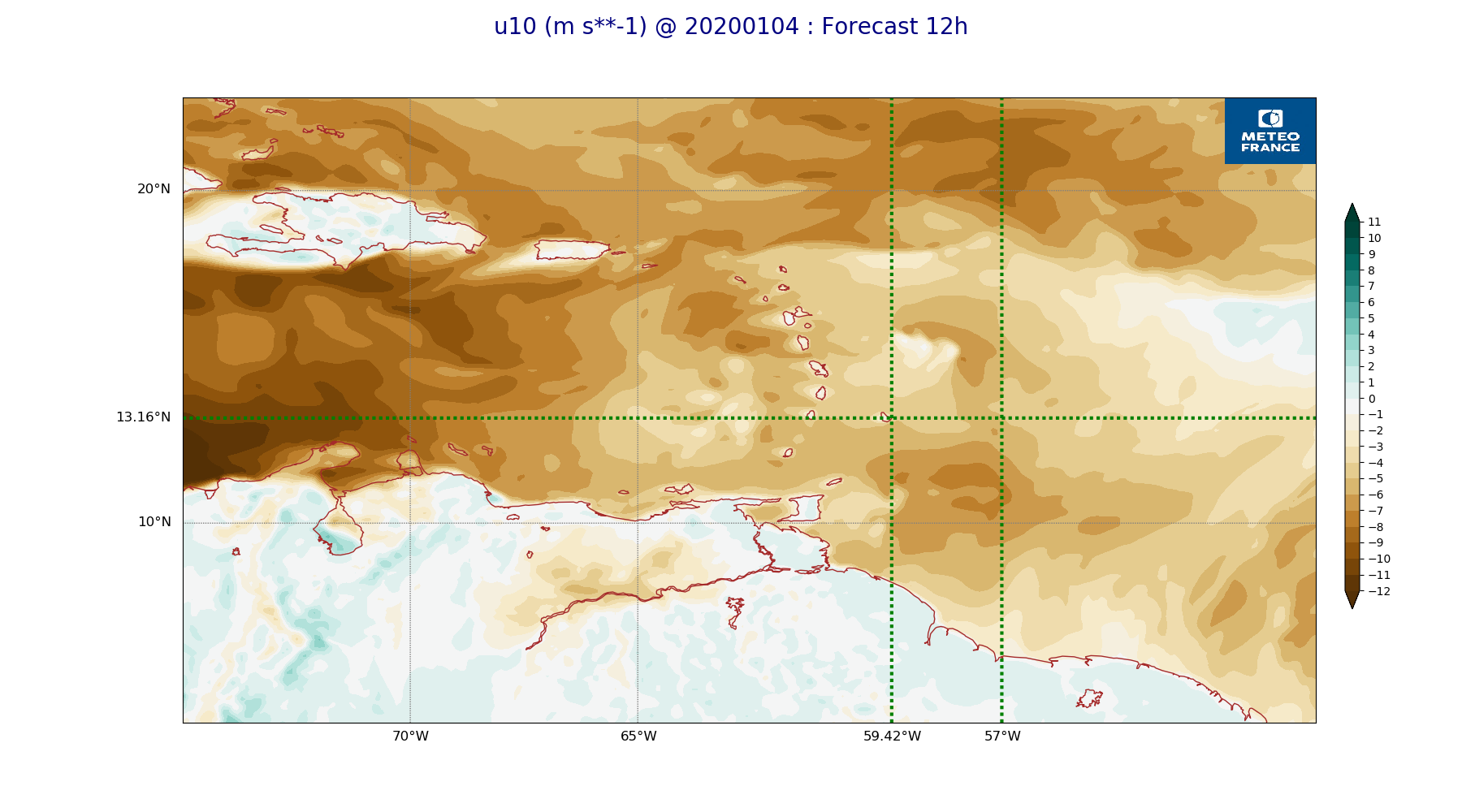
ARPEGE_map2D_u10_20200104_fct_0.png
2020-01-04 11:53
237K
ARPEGE_map2D_u10_20200104_fct_12.png
2020-01-04 11:53
237K
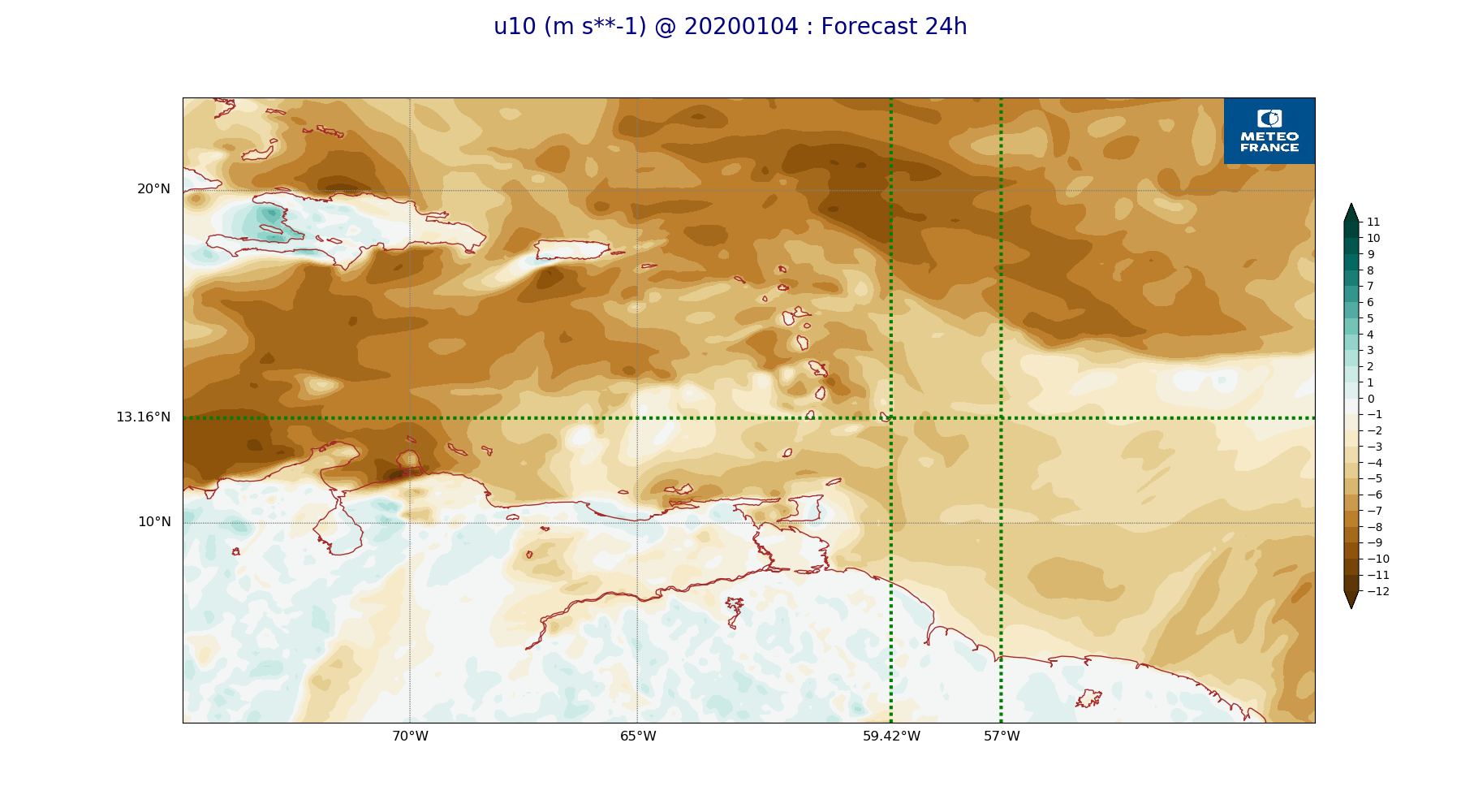
ARPEGE_map2D_u10_20200104_fct_24.png
2020-01-04 11:53
238K
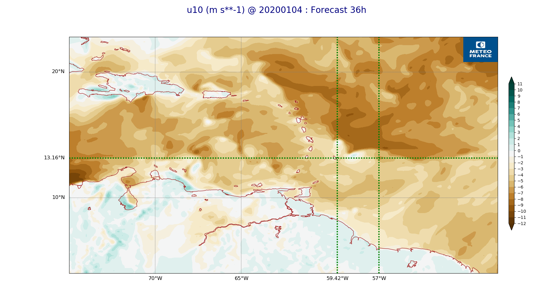
ARPEGE_map2D_u10_20200104_fct_36.png
2020-01-04 11:53
246K
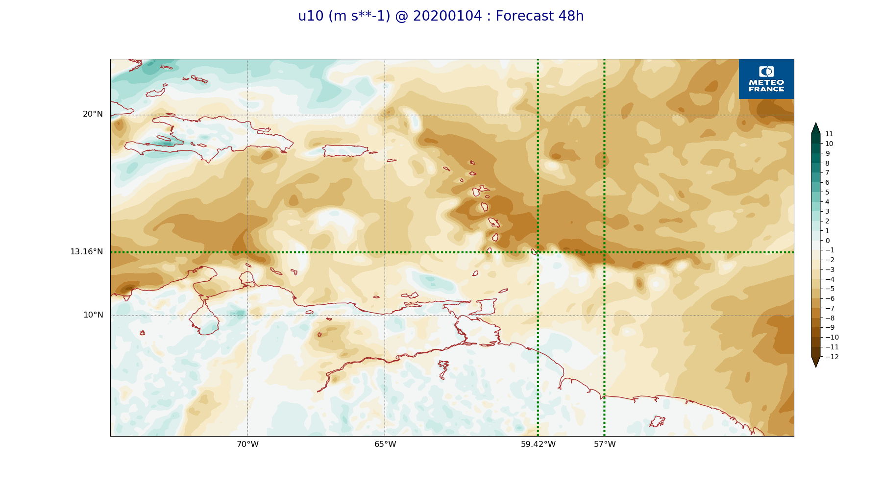
ARPEGE_map2D_u10_20200104_fct_48.png
2020-01-04 11:54
244K
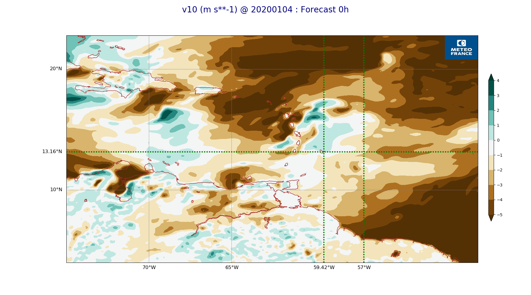
ARPEGE_map2D_v10_20200104_fct_0.png
2020-01-04 11:54
222K
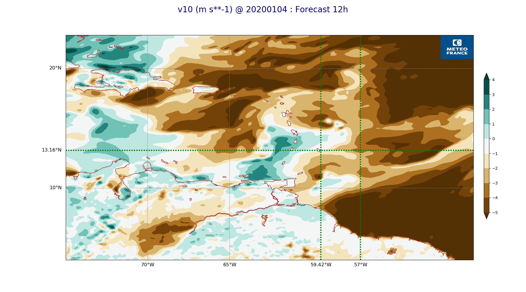
ARPEGE_map2D_v10_20200104_fct_12.png
2020-01-04 11:54
226K
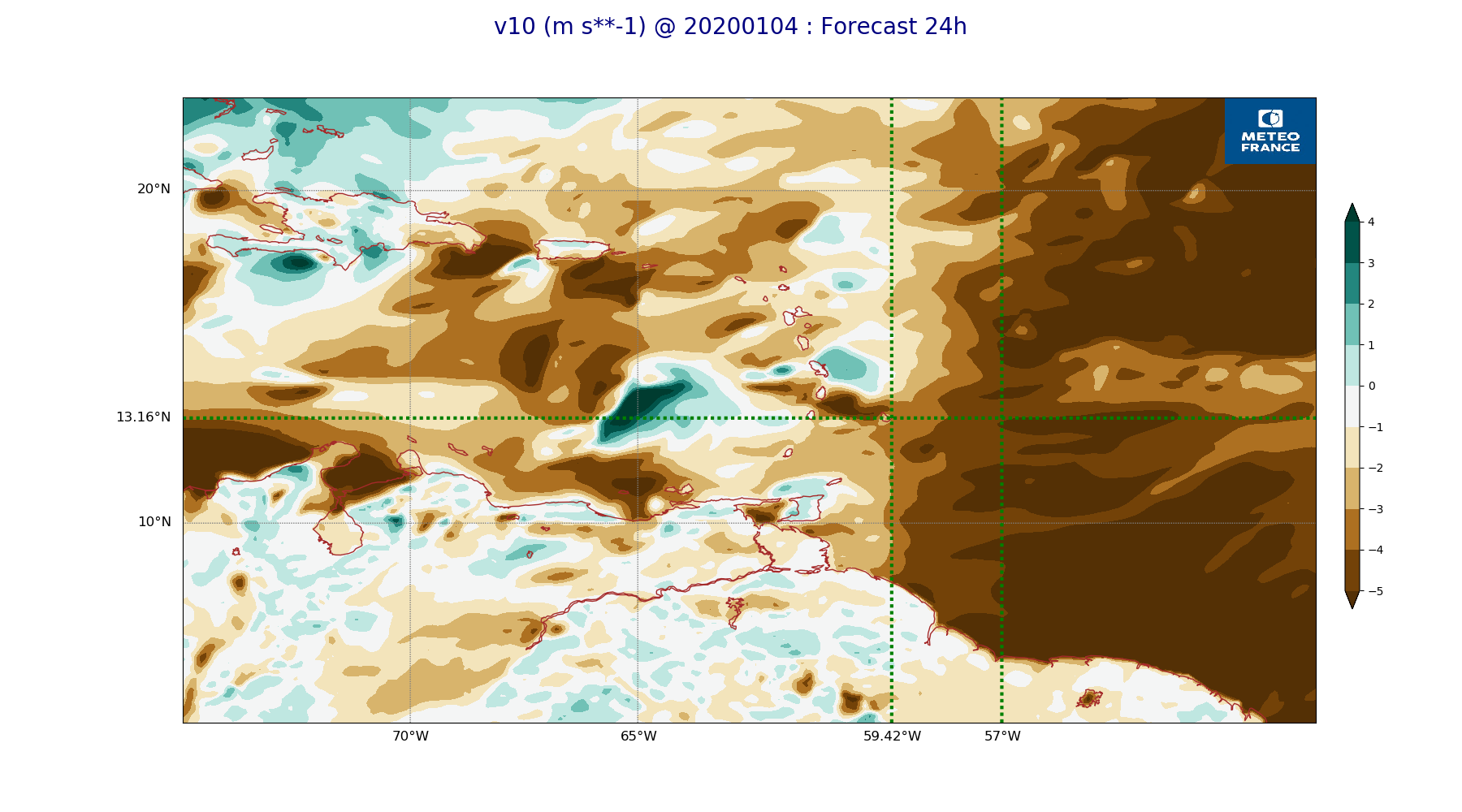
ARPEGE_map2D_v10_20200104_fct_24.png
2020-01-04 11:54
228K
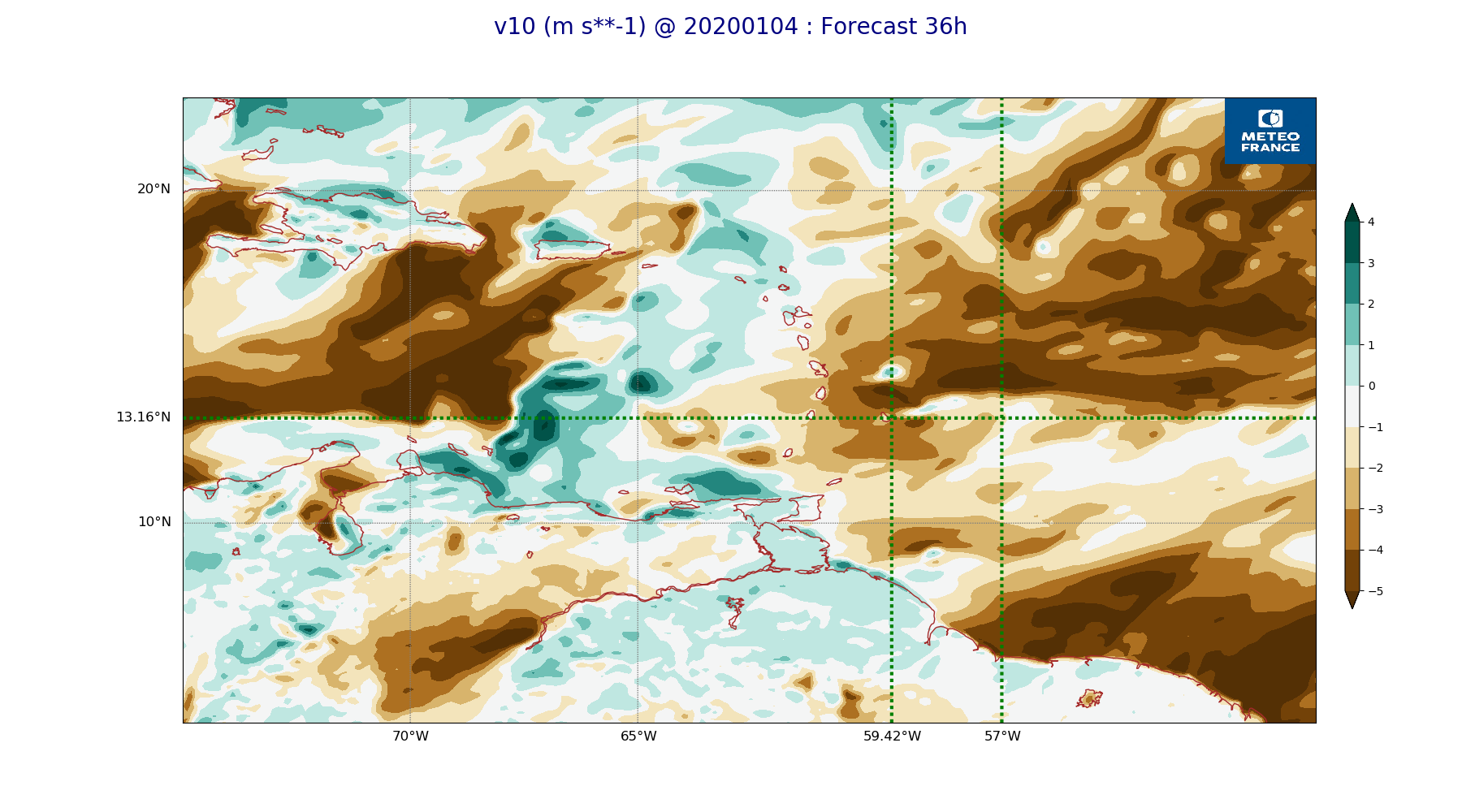
ARPEGE_map2D_v10_20200104_fct_36.png
2020-01-04 11:54
240K
ARPEGE_map2D_v10_20200104_fct_48.png
2020-01-04 11:54
240K