Index of /aeris/eurec4a-data/FORECASTS/GLOBAL/ARPEGE/2020/20200105/map2D
Name
Last modified
Size
Parent Directory
-
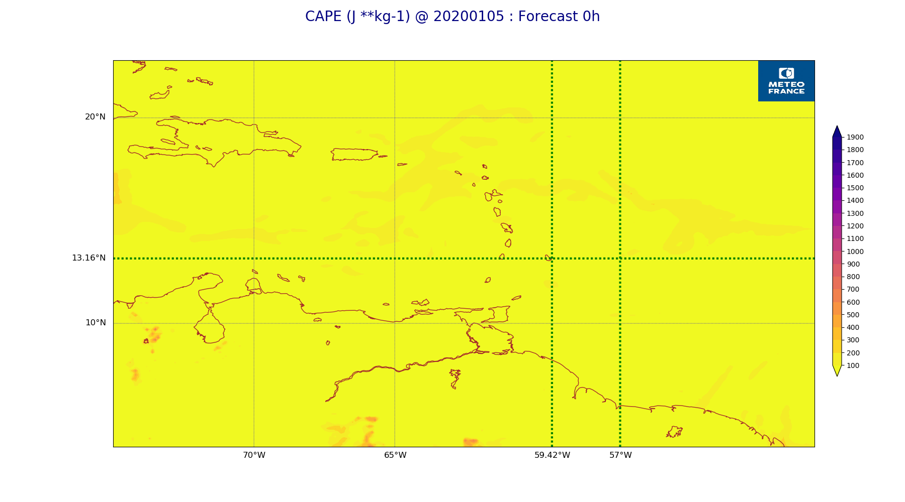
ARPEGE_map2D_CAPE_20200105_fct_0.png
2020-01-05 11:56
170K
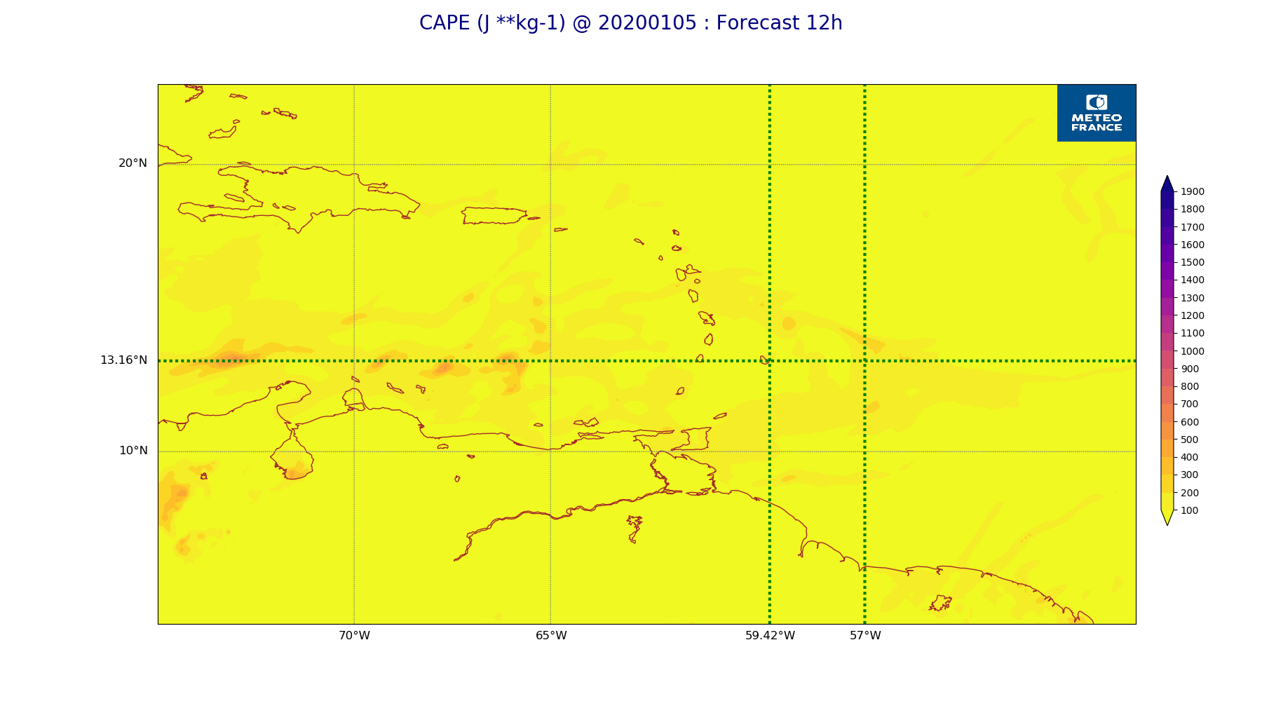
ARPEGE_map2D_CAPE_20200105_fct_12.png
2020-01-05 11:57
179K
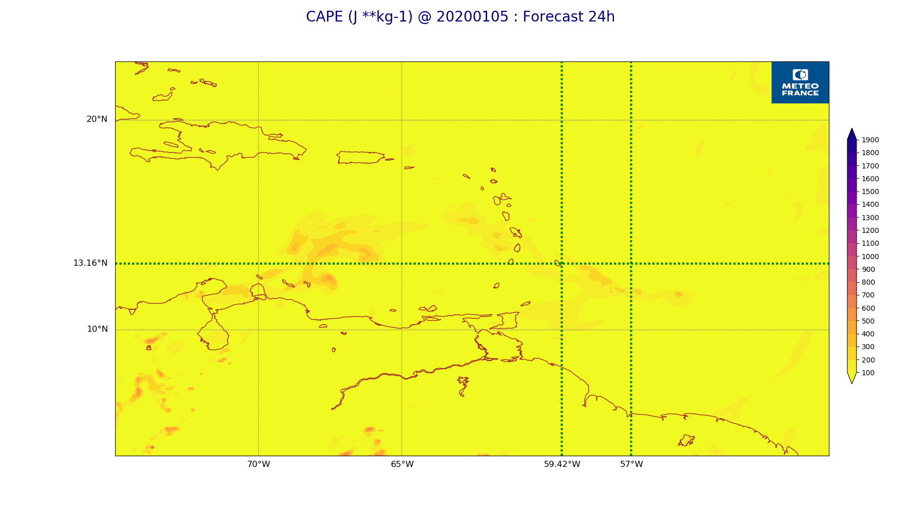
ARPEGE_map2D_CAPE_20200105_fct_24.png
2020-01-05 11:57
177K
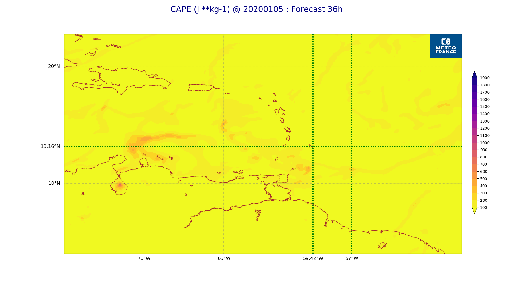
ARPEGE_map2D_CAPE_20200105_fct_36.png
2020-01-05 11:57
179K
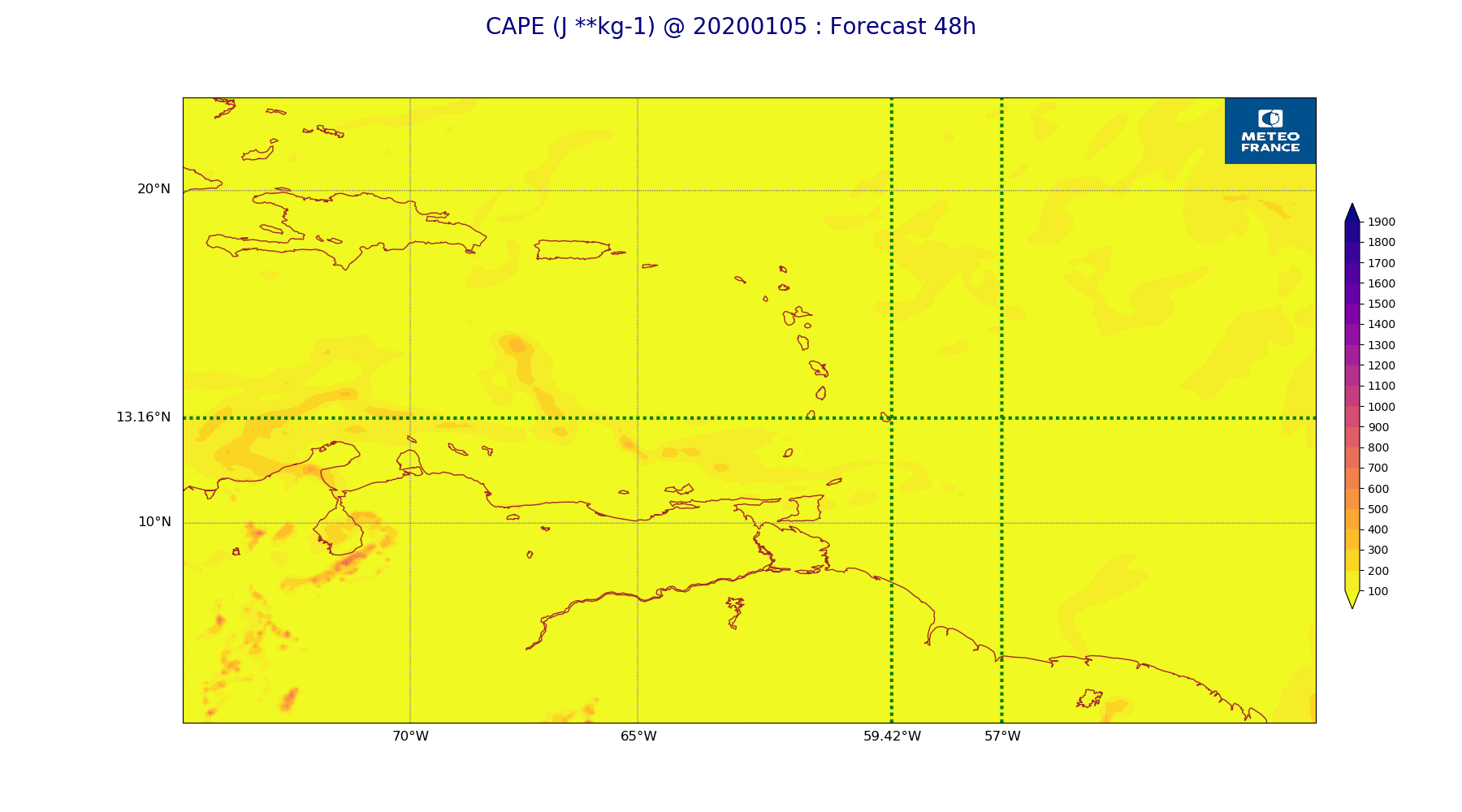
ARPEGE_map2D_CAPE_20200105_fct_48.png
2020-01-05 11:57
184K
ARPEGE_map2D_Cum_3h_RAIN_20200105_fct_0.png
2020-01-05 11:52
151K
ARPEGE_map2D_Cum_3h_RAIN_20200105_fct_12.png
2020-01-05 11:52
212K
ARPEGE_map2D_Cum_3h_RAIN_20200105_fct_24.png
2020-01-05 11:52
180K
ARPEGE_map2D_Cum_3h_RAIN_20200105_fct_36.png
2020-01-05 11:52
235K
ARPEGE_map2D_Cum_3h_RAIN_20200105_fct_48.png
2020-01-05 11:52
244K
ARPEGE_map2D_Fraction_cloud_cover_200hPa_20200105_fct_0.png
2020-01-05 11:46
161K
ARPEGE_map2D_Fraction_cloud_cover_200hPa_20200105_fct_12.png
2020-01-05 11:46
224K
ARPEGE_map2D_Fraction_cloud_cover_200hPa_20200105_fct_24.png
2020-01-05 11:46
226K
ARPEGE_map2D_Fraction_cloud_cover_200hPa_20200105_fct_36.png
2020-01-05 11:46
226K
ARPEGE_map2D_Fraction_cloud_cover_200hPa_20200105_fct_48.png
2020-01-05 11:47
215K
ARPEGE_map2D_Fraction_cloud_cover_500hPa_20200105_fct_0.png
2020-01-05 11:46
161K
ARPEGE_map2D_Fraction_cloud_cover_500hPa_20200105_fct_12.png
2020-01-05 11:46
174K
ARPEGE_map2D_Fraction_cloud_cover_500hPa_20200105_fct_24.png
2020-01-05 11:46
168K
ARPEGE_map2D_Fraction_cloud_cover_500hPa_20200105_fct_36.png
2020-01-05 11:46
178K
ARPEGE_map2D_Fraction_cloud_cover_500hPa_20200105_fct_48.png
2020-01-05 11:47
167K
ARPEGE_map2D_Fraction_cloud_cover_850hPa_20200105_fct_0.png
2020-01-05 11:46
161K
ARPEGE_map2D_Fraction_cloud_cover_850hPa_20200105_fct_12.png
2020-01-05 11:46
583K
ARPEGE_map2D_Fraction_cloud_cover_850hPa_20200105_fct_24.png
2020-01-05 11:46
551K
ARPEGE_map2D_Fraction_cloud_cover_850hPa_20200105_fct_36.png
2020-01-05 11:46
567K
ARPEGE_map2D_Fraction_cloud_cover_850hPa_20200105_fct_48.png
2020-01-05 11:47
547K
ARPEGE_map2D_Fraction_cloud_cover_925hPa_20200105_fct_0.png
2020-01-05 11:46
161K
ARPEGE_map2D_Fraction_cloud_cover_925hPa_20200105_fct_12.png
2020-01-05 11:46
612K
ARPEGE_map2D_Fraction_cloud_cover_925hPa_20200105_fct_24.png
2020-01-05 11:46
555K
ARPEGE_map2D_Fraction_cloud_cover_925hPa_20200105_fct_36.png
2020-01-05 11:47
618K
ARPEGE_map2D_Fraction_cloud_cover_925hPa_20200105_fct_48.png
2020-01-05 11:47
574K
ARPEGE_map2D_Geopotential_0_7_PVU_20200105_fct_0.png
2020-01-05 11:49
201K
ARPEGE_map2D_Geopotential_0_7_PVU_20200105_fct_12.png
2020-01-05 11:49
205K
ARPEGE_map2D_Geopotential_0_7_PVU_20200105_fct_24.png
2020-01-05 11:49
207K
ARPEGE_map2D_Geopotential_0_7_PVU_20200105_fct_36.png
2020-01-05 11:49
205K
ARPEGE_map2D_Geopotential_0_7_PVU_20200105_fct_48.png
2020-01-05 11:50
203K
ARPEGE_map2D_High_CC_sup_450hPa_20200105_fct_0.png
2020-01-05 11:51
168K
ARPEGE_map2D_High_CC_sup_450hPa_20200105_fct_12.png
2020-01-05 11:51
256K
ARPEGE_map2D_High_CC_sup_450hPa_20200105_fct_24.png
2020-01-05 11:51
267K
ARPEGE_map2D_High_CC_sup_450hPa_20200105_fct_36.png
2020-01-05 11:51
262K
ARPEGE_map2D_High_CC_sup_450hPa_20200105_fct_48.png
2020-01-05 11:52
279K
ARPEGE_map2D_IWP_20200105_fct_0.png
2020-01-05 11:55
151K
ARPEGE_map2D_IWP_20200105_fct_12.png
2020-01-05 11:55
151K
ARPEGE_map2D_IWP_20200105_fct_24.png
2020-01-05 11:55
151K
ARPEGE_map2D_IWP_20200105_fct_36.png
2020-01-05 11:55
152K
ARPEGE_map2D_IWP_20200105_fct_48.png
2020-01-05 11:56
152K
ARPEGE_map2D_LWP_20200105_fct_0.png
2020-01-05 11:54
141K
ARPEGE_map2D_LWP_20200105_fct_12.png
2020-01-05 11:55
141K
ARPEGE_map2D_LWP_20200105_fct_24.png
2020-01-05 11:55
141K
ARPEGE_map2D_LWP_20200105_fct_36.png
2020-01-05 11:55
142K
ARPEGE_map2D_LWP_20200105_fct_48.png
2020-01-05 11:55
142K
ARPEGE_map2D_Low_CC_inf_785hPa_20200105_fct_0.png
2020-01-05 11:50
167K
ARPEGE_map2D_Low_CC_inf_785hPa_20200105_fct_12.png
2020-01-05 11:50
440K
ARPEGE_map2D_Low_CC_inf_785hPa_20200105_fct_24.png
2020-01-05 11:50
444K
ARPEGE_map2D_Low_CC_inf_785hPa_20200105_fct_36.png
2020-01-05 11:50
436K
ARPEGE_map2D_Low_CC_inf_785hPa_20200105_fct_48.png
2020-01-05 11:50
431K
ARPEGE_map2D_Mid_CC_785_450hPa_20200105_fct_0.png
2020-01-05 11:50
168K
ARPEGE_map2D_Mid_CC_785_450hPa_20200105_fct_12.png
2020-01-05 11:50
390K
ARPEGE_map2D_Mid_CC_785_450hPa_20200105_fct_24.png
2020-01-05 11:51
374K
ARPEGE_map2D_Mid_CC_785_450hPa_20200105_fct_36.png
2020-01-05 11:51
432K
ARPEGE_map2D_Mid_CC_785_450hPa_20200105_fct_48.png
2020-01-05 11:51
418K
ARPEGE_map2D_PRW_20200105_fct_0.png
2020-01-05 11:52
202K
ARPEGE_map2D_PRW_20200105_fct_12.png
2020-01-05 11:53
215K
ARPEGE_map2D_PRW_20200105_fct_24.png
2020-01-05 11:53
211K
ARPEGE_map2D_PRW_20200105_fct_36.png
2020-01-05 11:53
222K
ARPEGE_map2D_PRW_20200105_fct_48.png
2020-01-05 11:53
220K
ARPEGE_map2D_Psfc_20200105_fct_0.png
2020-01-05 11:56
148K
ARPEGE_map2D_Psfc_20200105_fct_12.png
2020-01-05 11:56
148K
ARPEGE_map2D_Psfc_20200105_fct_24.png
2020-01-05 11:56
148K
ARPEGE_map2D_Psfc_20200105_fct_36.png
2020-01-05 11:56
148K
ARPEGE_map2D_Psfc_20200105_fct_48.png
2020-01-05 11:56
148K
ARPEGE_map2D_RH_500hPa_20200105_fct_0.png
2020-01-05 11:48
167K
ARPEGE_map2D_RH_500hPa_20200105_fct_12.png
2020-01-05 11:48
163K
ARPEGE_map2D_RH_500hPa_20200105_fct_24.png
2020-01-05 11:48
168K
ARPEGE_map2D_RH_500hPa_20200105_fct_36.png
2020-01-05 11:48
164K
ARPEGE_map2D_RH_500hPa_20200105_fct_48.png
2020-01-05 11:48
163K
ARPEGE_map2D_RH_700hPa_20200105_fct_0.png
2020-01-05 11:48
220K
ARPEGE_map2D_RH_700hPa_20200105_fct_12.png
2020-01-05 11:48
237K
ARPEGE_map2D_RH_700hPa_20200105_fct_24.png
2020-01-05 11:48
243K
ARPEGE_map2D_RH_700hPa_20200105_fct_36.png
2020-01-05 11:48
241K
ARPEGE_map2D_RH_700hPa_20200105_fct_48.png
2020-01-05 11:48
248K
ARPEGE_map2D_RH_850hPa_20200105_fct_0.png
2020-01-05 11:48
309K
ARPEGE_map2D_RH_850hPa_20200105_fct_12.png
2020-01-05 11:48
310K
ARPEGE_map2D_RH_850hPa_20200105_fct_24.png
2020-01-05 11:48
318K
ARPEGE_map2D_RH_850hPa_20200105_fct_36.png
2020-01-05 11:48
315K
ARPEGE_map2D_RH_850hPa_20200105_fct_48.png
2020-01-05 11:48
317K
ARPEGE_map2D_T_500hPa_20200105_fct_0.png
2020-01-05 11:47
158K
ARPEGE_map2D_T_500hPa_20200105_fct_12.png
2020-01-05 11:47
165K
ARPEGE_map2D_T_500hPa_20200105_fct_24.png
2020-01-05 11:47
163K
ARPEGE_map2D_T_500hPa_20200105_fct_36.png
2020-01-05 11:47
167K
ARPEGE_map2D_T_500hPa_20200105_fct_48.png
2020-01-05 11:48
161K
ARPEGE_map2D_T_850hPa_20200105_fct_0.png
2020-01-05 11:47
174K
ARPEGE_map2D_T_850hPa_20200105_fct_12.png
2020-01-05 11:47
176K
ARPEGE_map2D_T_850hPa_20200105_fct_24.png
2020-01-05 11:47
177K
ARPEGE_map2D_T_850hPa_20200105_fct_36.png
2020-01-05 11:48
177K
ARPEGE_map2D_T_850hPa_20200105_fct_48.png
2020-01-05 11:48
180K
ARPEGE_map2D_T_925hPa_20200105_fct_0.png
2020-01-05 11:47
182K
ARPEGE_map2D_T_925hPa_20200105_fct_12.png
2020-01-05 11:47
190K
ARPEGE_map2D_T_925hPa_20200105_fct_24.png
2020-01-05 11:47
189K
ARPEGE_map2D_T_925hPa_20200105_fct_36.png
2020-01-05 11:48
197K
ARPEGE_map2D_T_925hPa_20200105_fct_48.png
2020-01-05 11:48
191K
ARPEGE_map2D_U_200hPa_20200105_fct_0.png
2020-01-05 11:45
194K
ARPEGE_map2D_U_200hPa_20200105_fct_12.png
2020-01-05 11:45
189K
ARPEGE_map2D_U_200hPa_20200105_fct_24.png
2020-01-05 11:45
194K
ARPEGE_map2D_U_200hPa_20200105_fct_36.png
2020-01-05 11:45
192K
ARPEGE_map2D_U_200hPa_20200105_fct_48.png
2020-01-05 11:45
186K
ARPEGE_map2D_U_500hPa_20200105_fct_0.png
2020-01-05 11:45
180K
ARPEGE_map2D_U_500hPa_20200105_fct_12.png
2020-01-05 11:45
181K
ARPEGE_map2D_U_500hPa_20200105_fct_24.png
2020-01-05 11:45
181K
ARPEGE_map2D_U_500hPa_20200105_fct_36.png
2020-01-05 11:45
180K
ARPEGE_map2D_U_500hPa_20200105_fct_48.png
2020-01-05 11:45
177K
ARPEGE_map2D_U_850hPa_20200105_fct_0.png
2020-01-05 11:45
217K
ARPEGE_map2D_U_850hPa_20200105_fct_12.png
2020-01-05 11:45
221K
ARPEGE_map2D_U_850hPa_20200105_fct_24.png
2020-01-05 11:45
220K
ARPEGE_map2D_U_850hPa_20200105_fct_36.png
2020-01-05 11:45
224K
ARPEGE_map2D_U_850hPa_20200105_fct_48.png
2020-01-05 11:45
221K
ARPEGE_map2D_U_925hPa_20200105_fct_0.png
2020-01-05 11:45
208K
ARPEGE_map2D_U_925hPa_20200105_fct_12.png
2020-01-05 11:45
211K
ARPEGE_map2D_U_925hPa_20200105_fct_24.png
2020-01-05 11:45
213K
ARPEGE_map2D_U_925hPa_20200105_fct_36.png
2020-01-05 11:45
217K
ARPEGE_map2D_U_925hPa_20200105_fct_48.png
2020-01-05 11:45
210K
ARPEGE_map2D_V_200hPa_20200105_fct_0.png
2020-01-05 11:45
195K
ARPEGE_map2D_V_200hPa_20200105_fct_12.png
2020-01-05 11:45
191K
ARPEGE_map2D_V_200hPa_20200105_fct_24.png
2020-01-05 11:46
186K
ARPEGE_map2D_V_200hPa_20200105_fct_36.png
2020-01-05 11:46
191K
ARPEGE_map2D_V_200hPa_20200105_fct_48.png
2020-01-05 11:46
196K
ARPEGE_map2D_V_500hPa_20200105_fct_0.png
2020-01-05 11:45
203K
ARPEGE_map2D_V_500hPa_20200105_fct_12.png
2020-01-05 11:46
204K
ARPEGE_map2D_V_500hPa_20200105_fct_24.png
2020-01-05 11:46
206K
ARPEGE_map2D_V_500hPa_20200105_fct_36.png
2020-01-05 11:46
205K
ARPEGE_map2D_V_500hPa_20200105_fct_48.png
2020-01-05 11:46
204K
ARPEGE_map2D_V_850hPa_20200105_fct_0.png
2020-01-05 11:45
272K
ARPEGE_map2D_V_850hPa_20200105_fct_12.png
2020-01-05 11:46
279K
ARPEGE_map2D_V_850hPa_20200105_fct_24.png
2020-01-05 11:46
282K
ARPEGE_map2D_V_850hPa_20200105_fct_36.png
2020-01-05 11:46
291K
ARPEGE_map2D_V_850hPa_20200105_fct_48.png
2020-01-05 11:46
286K
ARPEGE_map2D_V_925hPa_20200105_fct_0.png
2020-01-05 11:45
250K
ARPEGE_map2D_V_925hPa_20200105_fct_12.png
2020-01-05 11:46
264K
ARPEGE_map2D_V_925hPa_20200105_fct_24.png
2020-01-05 11:46
265K
ARPEGE_map2D_V_925hPa_20200105_fct_36.png
2020-01-05 11:46
275K
ARPEGE_map2D_V_925hPa_20200105_fct_48.png
2020-01-05 11:46
269K
ARPEGE_map2D_Vertical_velocity_500hPa_20200105_fct_0.png
2020-01-05 11:44
226K
ARPEGE_map2D_Vertical_velocity_500hPa_20200105_fct_12.png
2020-01-05 11:44
229K
ARPEGE_map2D_Vertical_velocity_500hPa_20200105_fct_24.png
2020-01-05 11:44
238K
ARPEGE_map2D_Vertical_velocity_500hPa_20200105_fct_36.png
2020-01-05 11:44
234K
ARPEGE_map2D_Vertical_velocity_500hPa_20200105_fct_48.png
2020-01-05 11:45
233K
ARPEGE_map2D_Vertical_velocity_700hPa_20200105_fct_0.png
2020-01-05 11:44
235K
ARPEGE_map2D_Vertical_velocity_700hPa_20200105_fct_12.png
2020-01-05 11:44
245K
ARPEGE_map2D_Vertical_velocity_700hPa_20200105_fct_24.png
2020-01-05 11:44
246K
ARPEGE_map2D_Vertical_velocity_700hPa_20200105_fct_36.png
2020-01-05 11:44
264K
ARPEGE_map2D_Vertical_velocity_700hPa_20200105_fct_48.png
2020-01-05 11:45
250K
ARPEGE_map2D_Vertical_velocity_850hPa_20200105_fct_0.png
2020-01-05 11:44
297K
ARPEGE_map2D_Vertical_velocity_850hPa_20200105_fct_12.png
2020-01-05 11:44
315K
ARPEGE_map2D_Vertical_velocity_850hPa_20200105_fct_24.png
2020-01-05 11:44
307K
ARPEGE_map2D_Vertical_velocity_850hPa_20200105_fct_36.png
2020-01-05 11:45
333K
ARPEGE_map2D_Vertical_velocity_850hPa_20200105_fct_48.png
2020-01-05 11:45
317K
ARPEGE_map2D_qv_500hPa_20200105_fct_0.png
2020-01-05 11:48
158K
ARPEGE_map2D_qv_500hPa_20200105_fct_12.png
2020-01-05 11:48
158K
ARPEGE_map2D_qv_500hPa_20200105_fct_24.png
2020-01-05 11:49
158K
ARPEGE_map2D_qv_500hPa_20200105_fct_36.png
2020-01-05 11:49
158K
ARPEGE_map2D_qv_500hPa_20200105_fct_48.png
2020-01-05 11:49
158K
ARPEGE_map2D_qv_850hPa_20200105_fct_0.png
2020-01-05 11:48
258K
ARPEGE_map2D_qv_850hPa_20200105_fct_12.png
2020-01-05 11:49
256K
ARPEGE_map2D_qv_850hPa_20200105_fct_24.png
2020-01-05 11:49
263K
ARPEGE_map2D_qv_850hPa_20200105_fct_36.png
2020-01-05 11:49
262K
ARPEGE_map2D_qv_850hPa_20200105_fct_48.png
2020-01-05 11:49
264K
ARPEGE_map2D_qv_925hPa_20200105_fct_0.png
2020-01-05 11:48
239K
ARPEGE_map2D_qv_925hPa_20200105_fct_12.png
2020-01-05 11:49
250K
ARPEGE_map2D_qv_925hPa_20200105_fct_24.png
2020-01-05 11:49
257K
ARPEGE_map2D_qv_925hPa_20200105_fct_36.png
2020-01-05 11:49
265K
ARPEGE_map2D_qv_925hPa_20200105_fct_48.png
2020-01-05 11:49
258K
ARPEGE_map2D_theta_500hPa_20200105_fct_0.png
2020-01-05 11:47
154K
ARPEGE_map2D_theta_500hPa_20200105_fct_12.png
2020-01-05 11:47
157K
ARPEGE_map2D_theta_500hPa_20200105_fct_24.png
2020-01-05 11:47
159K
ARPEGE_map2D_theta_500hPa_20200105_fct_36.png
2020-01-05 11:47
159K
ARPEGE_map2D_theta_500hPa_20200105_fct_48.png
2020-01-05 11:47
154K
ARPEGE_map2D_theta_850hPa_20200105_fct_0.png
2020-01-05 11:47
179K
ARPEGE_map2D_theta_850hPa_20200105_fct_12.png
2020-01-05 11:47
185K
ARPEGE_map2D_theta_850hPa_20200105_fct_24.png
2020-01-05 11:47
185K
ARPEGE_map2D_theta_850hPa_20200105_fct_36.png
2020-01-05 11:47
183K
ARPEGE_map2D_theta_850hPa_20200105_fct_48.png
2020-01-05 11:47
185K
ARPEGE_map2D_theta_925hPa_20200105_fct_0.png
2020-01-05 11:47
181K
ARPEGE_map2D_theta_925hPa_20200105_fct_12.png
2020-01-05 11:47
194K
ARPEGE_map2D_theta_925hPa_20200105_fct_24.png
2020-01-05 11:47
191K
ARPEGE_map2D_theta_925hPa_20200105_fct_36.png
2020-01-05 11:47
198K
ARPEGE_map2D_theta_925hPa_20200105_fct_48.png
2020-01-05 11:47
192K
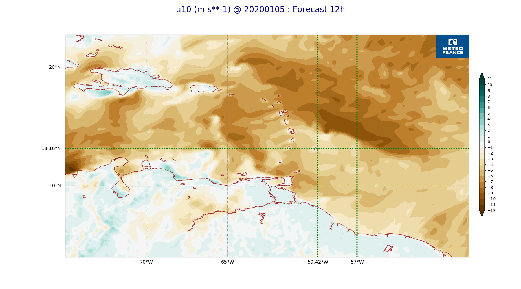
ARPEGE_map2D_u10_20200105_fct_0.png
2020-01-05 11:53
235K
ARPEGE_map2D_u10_20200105_fct_12.png
2020-01-05 11:53
245K
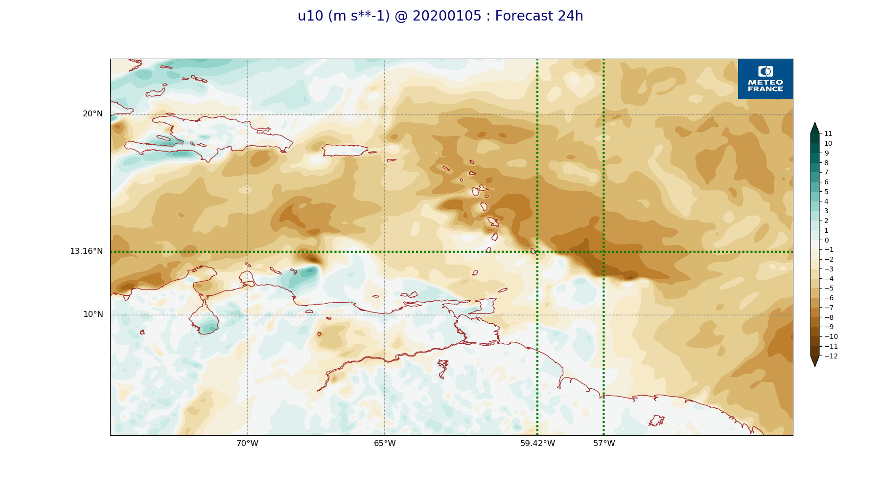
ARPEGE_map2D_u10_20200105_fct_24.png
2020-01-05 11:53
240K
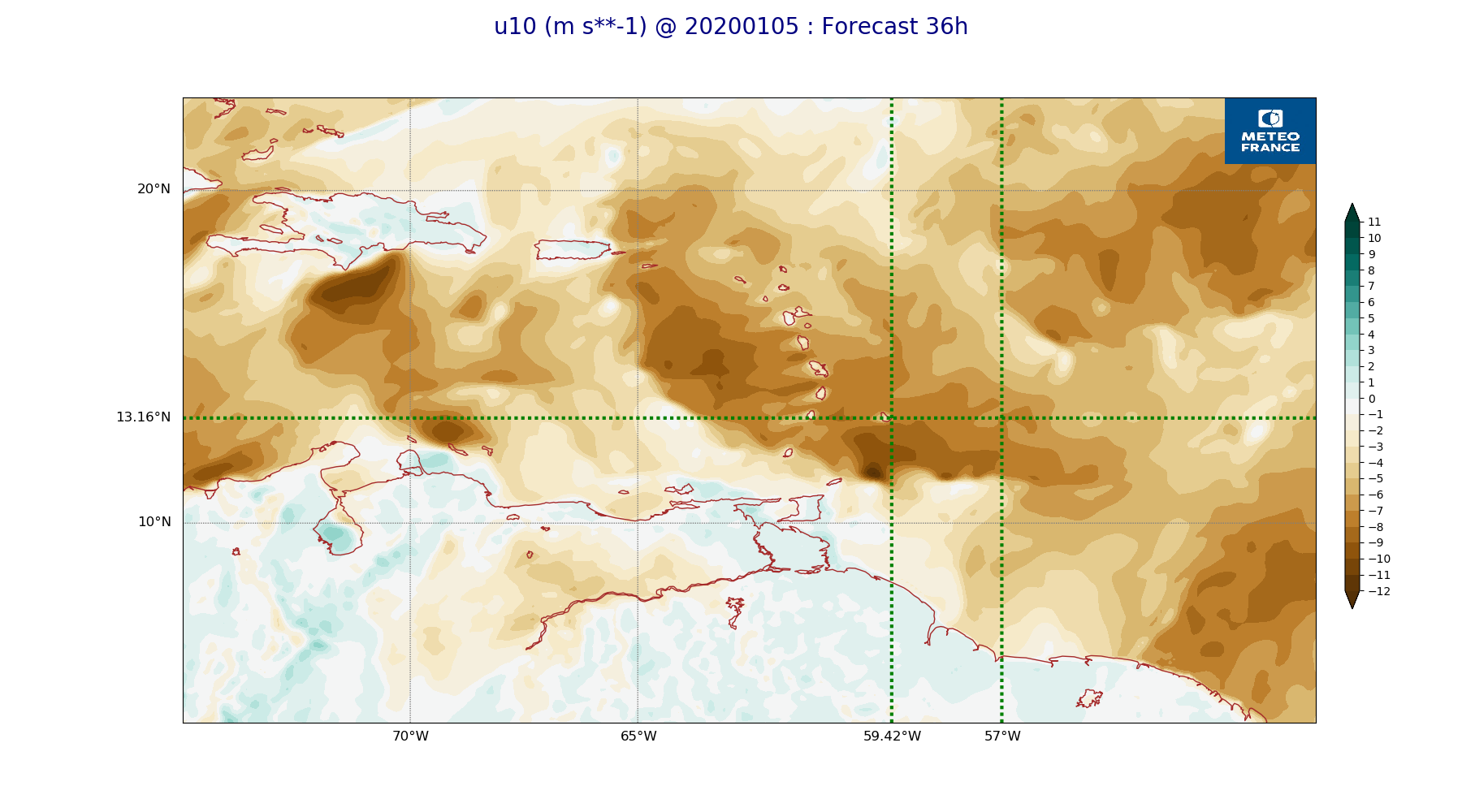
ARPEGE_map2D_u10_20200105_fct_36.png
2020-01-05 11:53
252K
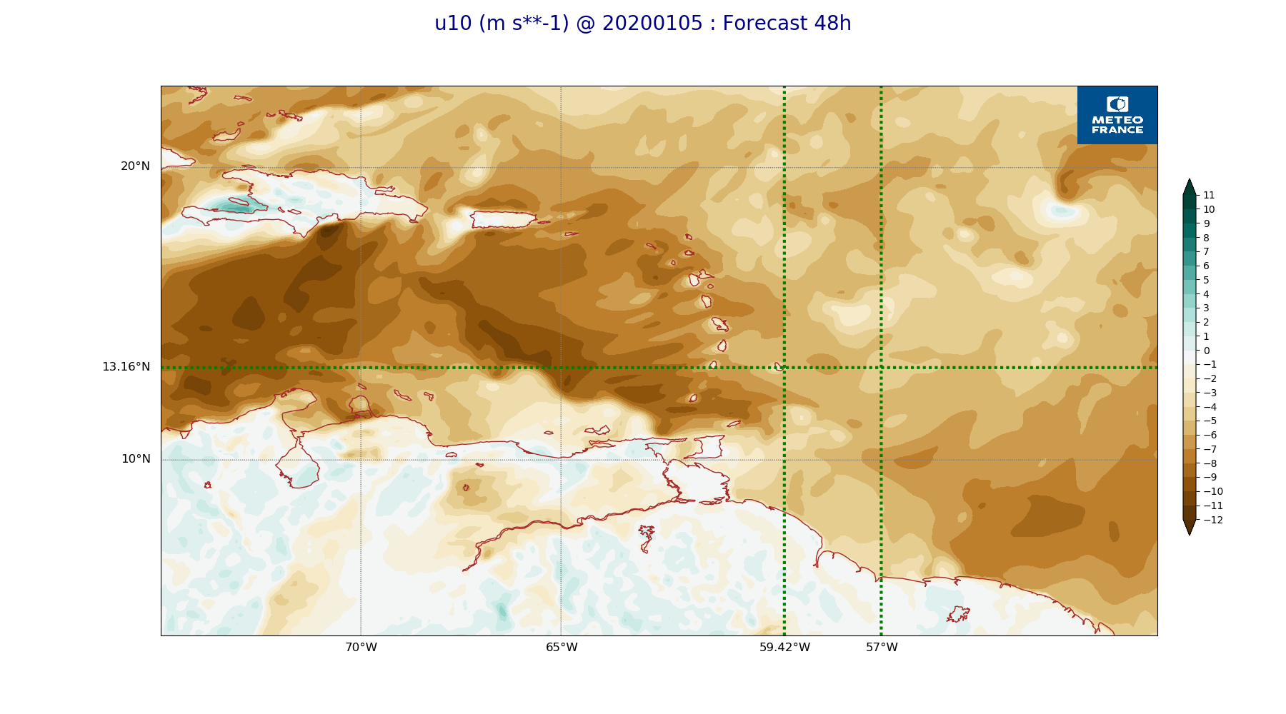
ARPEGE_map2D_u10_20200105_fct_48.png
2020-01-05 11:54
244K
ARPEGE_map2D_v10_20200105_fct_0.png
2020-01-05 11:54
224K
ARPEGE_map2D_v10_20200105_fct_12.png
2020-01-05 11:54
238K
ARPEGE_map2D_v10_20200105_fct_24.png
2020-01-05 11:54
233K
ARPEGE_map2D_v10_20200105_fct_36.png
2020-01-05 11:54
242K
ARPEGE_map2D_v10_20200105_fct_48.png
2020-01-05 11:54
236K