Index of /aeris/eurec4a-data/FORECASTS/GLOBAL/ARPEGE/2020/20200108/map2D
Name
Last modified
Size
Parent Directory
-
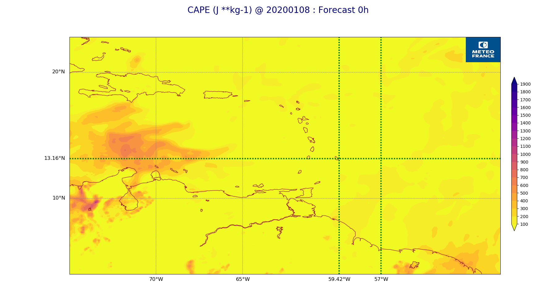
ARPEGE_map2D_CAPE_20200108_fct_0.png
2020-01-08 12:06
199K
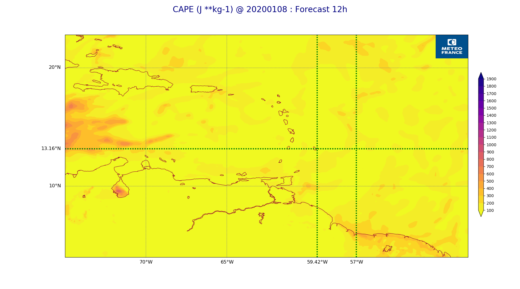
ARPEGE_map2D_CAPE_20200108_fct_12.png
2020-01-08 12:06
197K
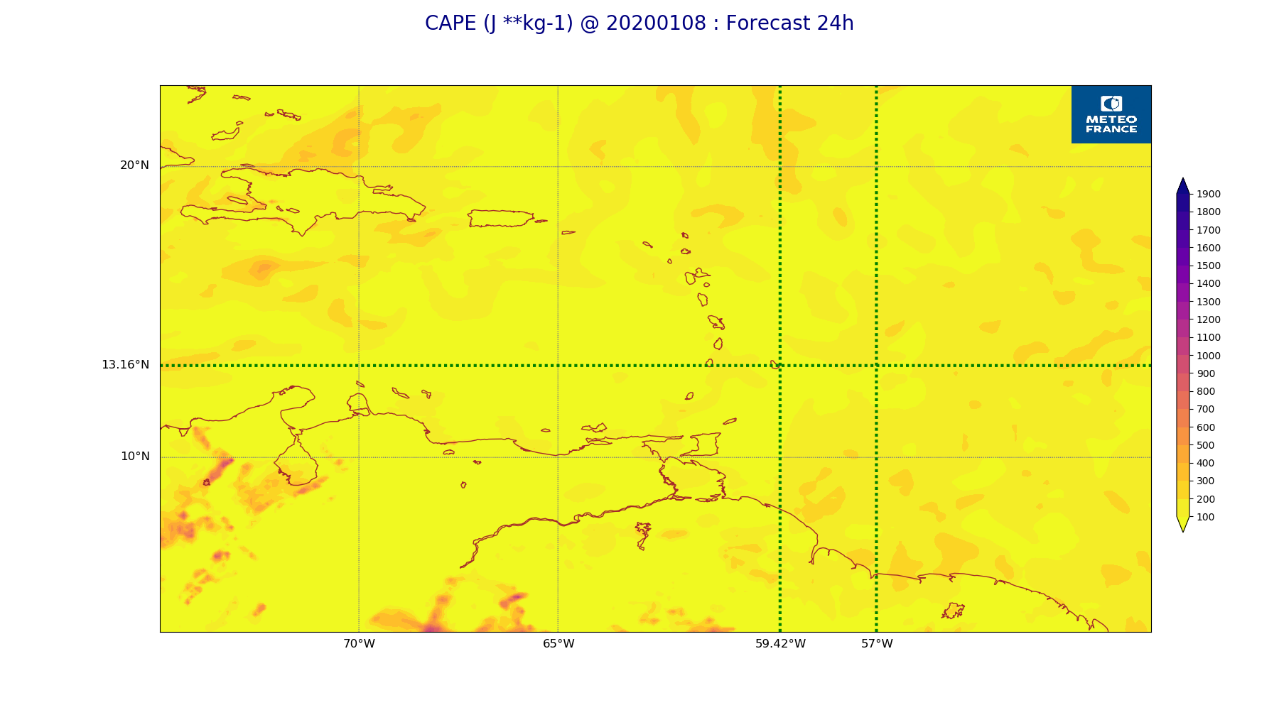
ARPEGE_map2D_CAPE_20200108_fct_24.png
2020-01-08 12:06
206K
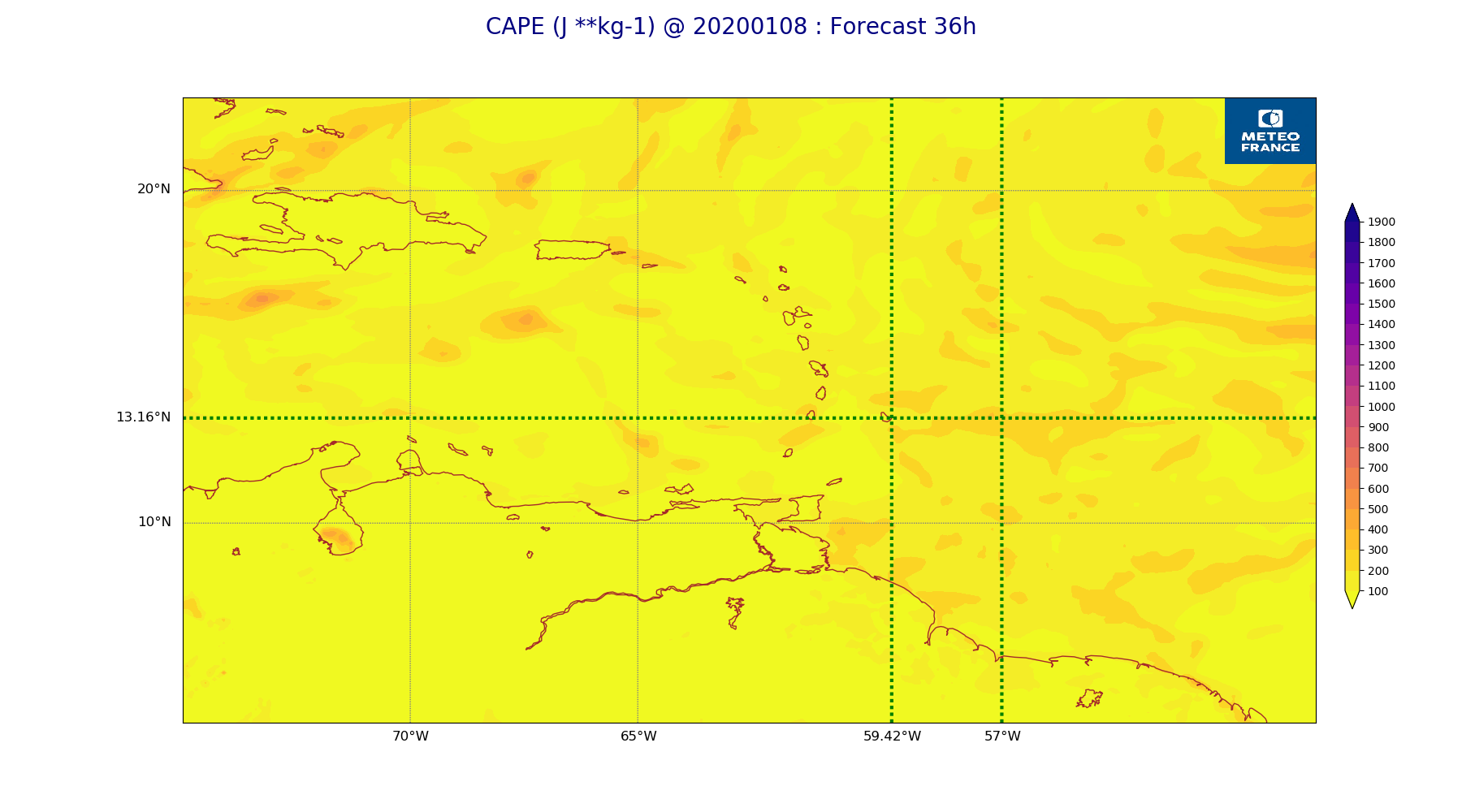
ARPEGE_map2D_CAPE_20200108_fct_36.png
2020-01-08 12:06
199K
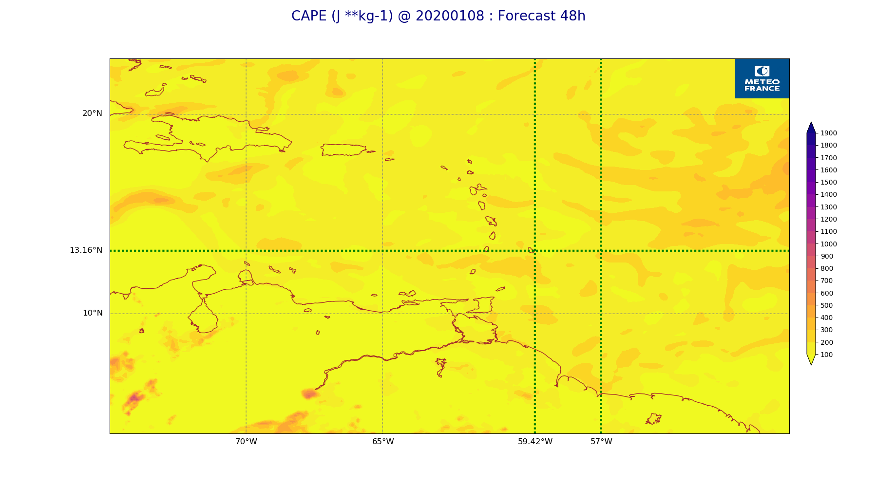
ARPEGE_map2D_CAPE_20200108_fct_48.png
2020-01-08 12:06
201K
ARPEGE_map2D_Cum_3h_RAIN_20200108_fct_0.png
2020-01-08 12:01
151K
ARPEGE_map2D_Cum_3h_RAIN_20200108_fct_12.png
2020-01-08 12:01
201K
ARPEGE_map2D_Cum_3h_RAIN_20200108_fct_24.png
2020-01-08 12:02
209K
ARPEGE_map2D_Cum_3h_RAIN_20200108_fct_36.png
2020-01-08 12:02
183K
ARPEGE_map2D_Cum_3h_RAIN_20200108_fct_48.png
2020-01-08 12:02
210K
ARPEGE_map2D_Fraction_cloud_cover_200hPa_20200108_fct_0.png
2020-01-08 11:56
162K
ARPEGE_map2D_Fraction_cloud_cover_200hPa_20200108_fct_12.png
2020-01-08 11:56
245K
ARPEGE_map2D_Fraction_cloud_cover_200hPa_20200108_fct_24.png
2020-01-08 11:56
200K
ARPEGE_map2D_Fraction_cloud_cover_200hPa_20200108_fct_36.png
2020-01-08 11:56
185K
ARPEGE_map2D_Fraction_cloud_cover_200hPa_20200108_fct_48.png
2020-01-08 11:56
185K
ARPEGE_map2D_Fraction_cloud_cover_500hPa_20200108_fct_0.png
2020-01-08 11:56
162K
ARPEGE_map2D_Fraction_cloud_cover_500hPa_20200108_fct_12.png
2020-01-08 11:56
235K
ARPEGE_map2D_Fraction_cloud_cover_500hPa_20200108_fct_24.png
2020-01-08 11:56
203K
ARPEGE_map2D_Fraction_cloud_cover_500hPa_20200108_fct_36.png
2020-01-08 11:56
227K
ARPEGE_map2D_Fraction_cloud_cover_500hPa_20200108_fct_48.png
2020-01-08 11:56
213K
ARPEGE_map2D_Fraction_cloud_cover_850hPa_20200108_fct_0.png
2020-01-08 11:56
162K
ARPEGE_map2D_Fraction_cloud_cover_850hPa_20200108_fct_12.png
2020-01-08 11:56
629K
ARPEGE_map2D_Fraction_cloud_cover_850hPa_20200108_fct_24.png
2020-01-08 11:56
751K
ARPEGE_map2D_Fraction_cloud_cover_850hPa_20200108_fct_36.png
2020-01-08 11:56
656K
ARPEGE_map2D_Fraction_cloud_cover_850hPa_20200108_fct_48.png
2020-01-08 11:56
758K
ARPEGE_map2D_Fraction_cloud_cover_925hPa_20200108_fct_0.png
2020-01-08 11:56
161K
ARPEGE_map2D_Fraction_cloud_cover_925hPa_20200108_fct_12.png
2020-01-08 11:56
671K
ARPEGE_map2D_Fraction_cloud_cover_925hPa_20200108_fct_24.png
2020-01-08 11:56
703K
ARPEGE_map2D_Fraction_cloud_cover_925hPa_20200108_fct_36.png
2020-01-08 11:56
680K
ARPEGE_map2D_Fraction_cloud_cover_925hPa_20200108_fct_48.png
2020-01-08 11:56
681K
ARPEGE_map2D_Geopotential_0_7_PVU_20200108_fct_0.png
2020-01-08 11:59
211K
ARPEGE_map2D_Geopotential_0_7_PVU_20200108_fct_12.png
2020-01-08 11:59
218K
ARPEGE_map2D_Geopotential_0_7_PVU_20200108_fct_24.png
2020-01-08 11:59
217K
ARPEGE_map2D_Geopotential_0_7_PVU_20200108_fct_36.png
2020-01-08 11:59
221K
ARPEGE_map2D_Geopotential_0_7_PVU_20200108_fct_48.png
2020-01-08 11:59
216K
ARPEGE_map2D_High_CC_sup_450hPa_20200108_fct_0.png
2020-01-08 12:01
168K
ARPEGE_map2D_High_CC_sup_450hPa_20200108_fct_12.png
2020-01-08 12:01
243K
ARPEGE_map2D_High_CC_sup_450hPa_20200108_fct_24.png
2020-01-08 12:01
249K
ARPEGE_map2D_High_CC_sup_450hPa_20200108_fct_36.png
2020-01-08 12:01
294K
ARPEGE_map2D_High_CC_sup_450hPa_20200108_fct_48.png
2020-01-08 12:01
250K
ARPEGE_map2D_IWP_20200108_fct_0.png
2020-01-08 12:05
151K
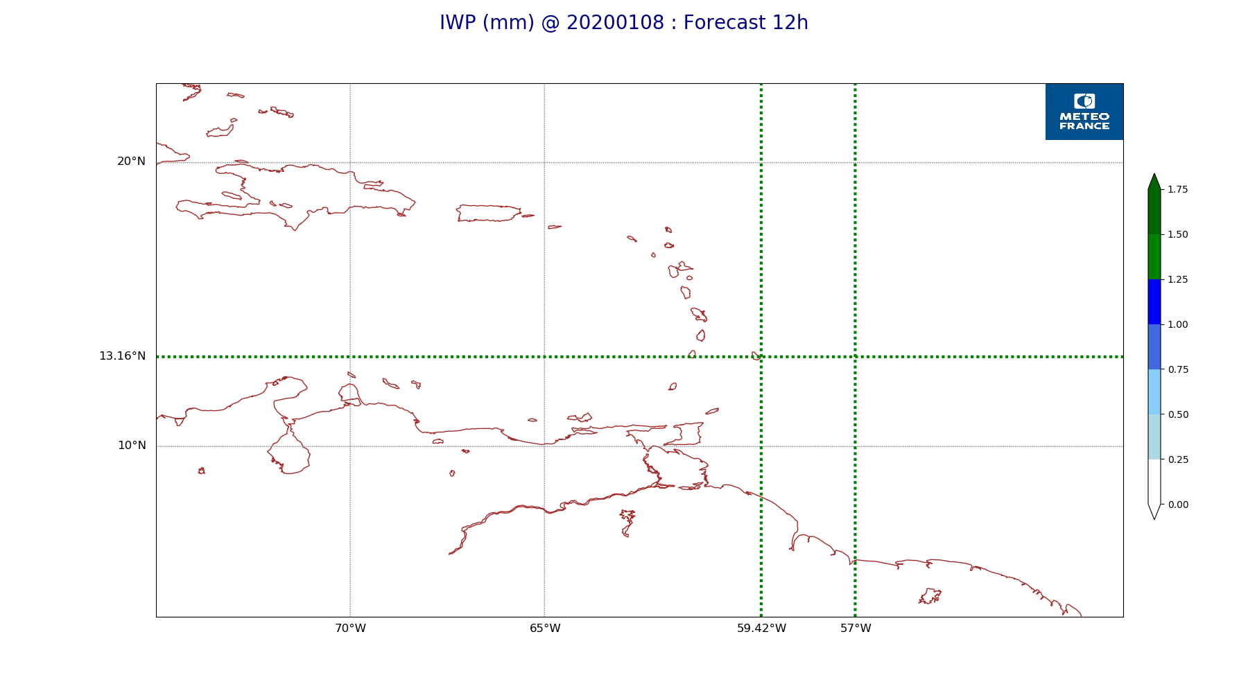
ARPEGE_map2D_IWP_20200108_fct_12.png
2020-01-08 12:05
151K
ARPEGE_map2D_IWP_20200108_fct_24.png
2020-01-08 12:05
152K
ARPEGE_map2D_IWP_20200108_fct_36.png
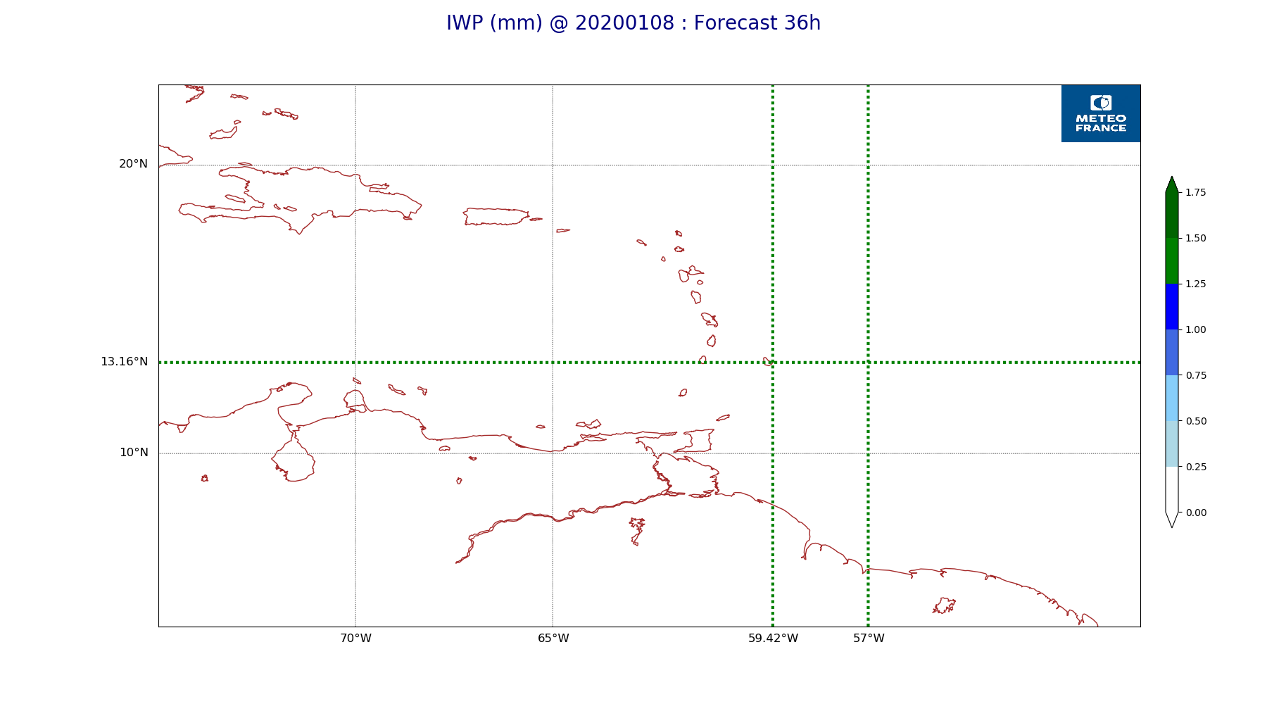
2020-01-08 12:05
152K
ARPEGE_map2D_IWP_20200108_fct_48.png
2020-01-08 12:05
152K
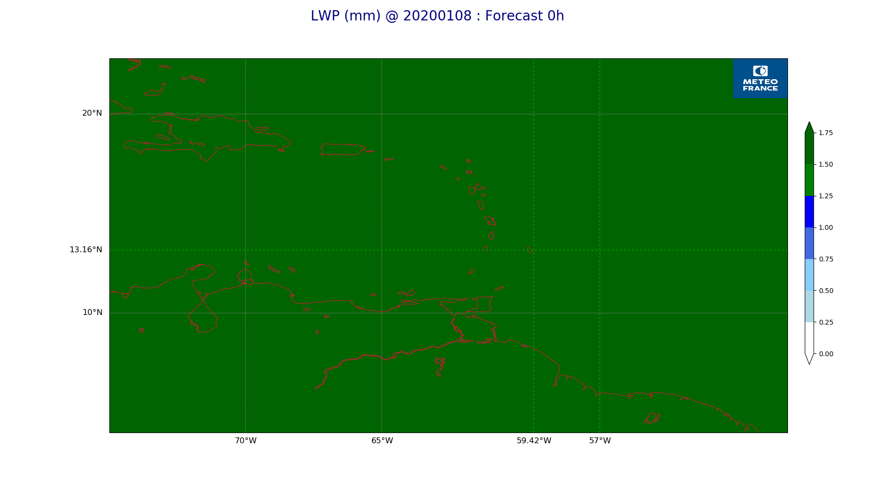
ARPEGE_map2D_LWP_20200108_fct_0.png
2020-01-08 12:04
141K
ARPEGE_map2D_LWP_20200108_fct_12.png
2020-01-08 12:04
141K
ARPEGE_map2D_LWP_20200108_fct_24.png
2020-01-08 12:04
142K
ARPEGE_map2D_LWP_20200108_fct_36.png
2020-01-08 12:04
142K
ARPEGE_map2D_LWP_20200108_fct_48.png
2020-01-08 12:04
142K
ARPEGE_map2D_Low_CC_inf_785hPa_20200108_fct_0.png
2020-01-08 11:59
167K
ARPEGE_map2D_Low_CC_inf_785hPa_20200108_fct_12.png
2020-01-08 11:59
443K
ARPEGE_map2D_Low_CC_inf_785hPa_20200108_fct_24.png
2020-01-08 11:59
421K
ARPEGE_map2D_Low_CC_inf_785hPa_20200108_fct_36.png
2020-01-08 12:00
459K
ARPEGE_map2D_Low_CC_inf_785hPa_20200108_fct_48.png
2020-01-08 12:00
451K
ARPEGE_map2D_Mid_CC_785_450hPa_20200108_fct_0.png
2020-01-08 12:00
168K
ARPEGE_map2D_Mid_CC_785_450hPa_20200108_fct_12.png
2020-01-08 12:00
475K
ARPEGE_map2D_Mid_CC_785_450hPa_20200108_fct_24.png
2020-01-08 12:00
516K
ARPEGE_map2D_Mid_CC_785_450hPa_20200108_fct_36.png
2020-01-08 12:00
476K
ARPEGE_map2D_Mid_CC_785_450hPa_20200108_fct_48.png
2020-01-08 12:00
536K
ARPEGE_map2D_PRW_20200108_fct_0.png
2020-01-08 12:02
226K
ARPEGE_map2D_PRW_20200108_fct_12.png
2020-01-08 12:02
238K
ARPEGE_map2D_PRW_20200108_fct_24.png
2020-01-08 12:02
236K
ARPEGE_map2D_PRW_20200108_fct_36.png
2020-01-08 12:02
243K
ARPEGE_map2D_PRW_20200108_fct_48.png
2020-01-08 12:02
242K
ARPEGE_map2D_Psfc_20200108_fct_0.png
2020-01-08 12:05
148K
ARPEGE_map2D_Psfc_20200108_fct_12.png
2020-01-08 12:05
148K
ARPEGE_map2D_Psfc_20200108_fct_24.png
2020-01-08 12:06
148K
ARPEGE_map2D_Psfc_20200108_fct_36.png
2020-01-08 12:06
149K
ARPEGE_map2D_Psfc_20200108_fct_48.png
2020-01-08 12:06
148K
ARPEGE_map2D_RH_500hPa_20200108_fct_0.png
2020-01-08 11:57
165K
ARPEGE_map2D_RH_500hPa_20200108_fct_12.png
2020-01-08 11:57
172K
ARPEGE_map2D_RH_500hPa_20200108_fct_24.png
2020-01-08 11:58
173K
ARPEGE_map2D_RH_500hPa_20200108_fct_36.png
2020-01-08 11:58
172K
ARPEGE_map2D_RH_500hPa_20200108_fct_48.png
2020-01-08 11:58
167K
ARPEGE_map2D_RH_700hPa_20200108_fct_0.png
2020-01-08 11:57
250K
ARPEGE_map2D_RH_700hPa_20200108_fct_12.png
2020-01-08 11:57
258K
ARPEGE_map2D_RH_700hPa_20200108_fct_24.png
2020-01-08 11:58
272K
ARPEGE_map2D_RH_700hPa_20200108_fct_36.png
2020-01-08 11:58
289K
ARPEGE_map2D_RH_700hPa_20200108_fct_48.png
2020-01-08 11:58
302K
ARPEGE_map2D_RH_850hPa_20200108_fct_0.png
2020-01-08 11:57
300K
ARPEGE_map2D_RH_850hPa_20200108_fct_12.png
2020-01-08 11:57
308K
ARPEGE_map2D_RH_850hPa_20200108_fct_24.png
2020-01-08 11:58
312K
ARPEGE_map2D_RH_850hPa_20200108_fct_36.png
2020-01-08 11:58
323K
ARPEGE_map2D_RH_850hPa_20200108_fct_48.png
2020-01-08 11:58
317K
ARPEGE_map2D_T_500hPa_20200108_fct_0.png
2020-01-08 11:57
166K
ARPEGE_map2D_T_500hPa_20200108_fct_12.png
2020-01-08 11:57
169K
ARPEGE_map2D_T_500hPa_20200108_fct_24.png
2020-01-08 11:57
167K
ARPEGE_map2D_T_500hPa_20200108_fct_36.png
2020-01-08 11:57
166K
ARPEGE_map2D_T_500hPa_20200108_fct_48.png
2020-01-08 11:57
165K
ARPEGE_map2D_T_850hPa_20200108_fct_0.png
2020-01-08 11:57
177K
ARPEGE_map2D_T_850hPa_20200108_fct_12.png
2020-01-08 11:57
180K
ARPEGE_map2D_T_850hPa_20200108_fct_24.png
2020-01-08 11:57
174K
ARPEGE_map2D_T_850hPa_20200108_fct_36.png
2020-01-08 11:57
180K
ARPEGE_map2D_T_850hPa_20200108_fct_48.png
2020-01-08 11:57
179K
ARPEGE_map2D_T_925hPa_20200108_fct_0.png
2020-01-08 11:57
185K
ARPEGE_map2D_T_925hPa_20200108_fct_12.png
2020-01-08 11:57
192K
ARPEGE_map2D_T_925hPa_20200108_fct_24.png
2020-01-08 11:57
181K
ARPEGE_map2D_T_925hPa_20200108_fct_36.png
2020-01-08 11:57
188K
ARPEGE_map2D_T_925hPa_20200108_fct_48.png
2020-01-08 11:57
179K
ARPEGE_map2D_U_200hPa_20200108_fct_0.png
2020-01-08 11:54
188K
ARPEGE_map2D_U_200hPa_20200108_fct_12.png
2020-01-08 11:54
184K
ARPEGE_map2D_U_200hPa_20200108_fct_24.png
2020-01-08 11:54
179K
ARPEGE_map2D_U_200hPa_20200108_fct_36.png
2020-01-08 11:55
183K
ARPEGE_map2D_U_200hPa_20200108_fct_48.png
2020-01-08 11:55
179K
ARPEGE_map2D_U_500hPa_20200108_fct_0.png
2020-01-08 11:54
181K
ARPEGE_map2D_U_500hPa_20200108_fct_12.png
2020-01-08 11:54
189K
ARPEGE_map2D_U_500hPa_20200108_fct_24.png
2020-01-08 11:54
189K
ARPEGE_map2D_U_500hPa_20200108_fct_36.png
2020-01-08 11:55
190K
ARPEGE_map2D_U_500hPa_20200108_fct_48.png
2020-01-08 11:55
187K
ARPEGE_map2D_U_850hPa_20200108_fct_0.png
2020-01-08 11:54
213K
ARPEGE_map2D_U_850hPa_20200108_fct_12.png
2020-01-08 11:54
214K
ARPEGE_map2D_U_850hPa_20200108_fct_24.png
2020-01-08 11:55
211K
ARPEGE_map2D_U_850hPa_20200108_fct_36.png
2020-01-08 11:55
211K
ARPEGE_map2D_U_850hPa_20200108_fct_48.png
2020-01-08 11:55
210K
ARPEGE_map2D_U_925hPa_20200108_fct_0.png
2020-01-08 11:54
205K
ARPEGE_map2D_U_925hPa_20200108_fct_12.png
2020-01-08 11:54
206K
ARPEGE_map2D_U_925hPa_20200108_fct_24.png
2020-01-08 11:55
203K
ARPEGE_map2D_U_925hPa_20200108_fct_36.png
2020-01-08 11:55
204K
ARPEGE_map2D_U_925hPa_20200108_fct_48.png
2020-01-08 11:55
202K
ARPEGE_map2D_V_200hPa_20200108_fct_0.png
2020-01-08 11:55
215K
ARPEGE_map2D_V_200hPa_20200108_fct_12.png
2020-01-08 11:55
212K
ARPEGE_map2D_V_200hPa_20200108_fct_24.png
2020-01-08 11:55
209K
ARPEGE_map2D_V_200hPa_20200108_fct_36.png
2020-01-08 11:55
206K
ARPEGE_map2D_V_200hPa_20200108_fct_48.png
2020-01-08 11:55
194K
ARPEGE_map2D_V_500hPa_20200108_fct_0.png
2020-01-08 11:55
214K
ARPEGE_map2D_V_500hPa_20200108_fct_12.png
2020-01-08 11:55
221K
ARPEGE_map2D_V_500hPa_20200108_fct_24.png
2020-01-08 11:55
216K
ARPEGE_map2D_V_500hPa_20200108_fct_36.png
2020-01-08 11:55
216K
ARPEGE_map2D_V_500hPa_20200108_fct_48.png
2020-01-08 11:55
212K
ARPEGE_map2D_V_850hPa_20200108_fct_0.png
2020-01-08 11:55
273K
ARPEGE_map2D_V_850hPa_20200108_fct_12.png
2020-01-08 11:55
273K
ARPEGE_map2D_V_850hPa_20200108_fct_24.png
2020-01-08 11:55
272K
ARPEGE_map2D_V_850hPa_20200108_fct_36.png
2020-01-08 11:55
278K
ARPEGE_map2D_V_850hPa_20200108_fct_48.png
2020-01-08 11:55
280K
ARPEGE_map2D_V_925hPa_20200108_fct_0.png
2020-01-08 11:55
257K
ARPEGE_map2D_V_925hPa_20200108_fct_12.png
2020-01-08 11:55
264K
ARPEGE_map2D_V_925hPa_20200108_fct_24.png
2020-01-08 11:55
260K
ARPEGE_map2D_V_925hPa_20200108_fct_36.png
2020-01-08 11:55
263K
ARPEGE_map2D_V_925hPa_20200108_fct_48.png
2020-01-08 11:56
259K
ARPEGE_map2D_Vertical_velocity_500hPa_20200108_fct_0.png
2020-01-08 11:54
236K
ARPEGE_map2D_Vertical_velocity_500hPa_20200108_fct_12.png
2020-01-08 11:54
245K
ARPEGE_map2D_Vertical_velocity_500hPa_20200108_fct_24.png
2020-01-08 11:54
240K
ARPEGE_map2D_Vertical_velocity_500hPa_20200108_fct_36.png
2020-01-08 11:54
255K
ARPEGE_map2D_Vertical_velocity_500hPa_20200108_fct_48.png
2020-01-08 11:54
253K
ARPEGE_map2D_Vertical_velocity_700hPa_20200108_fct_0.png
2020-01-08 11:54
265K
ARPEGE_map2D_Vertical_velocity_700hPa_20200108_fct_12.png
2020-01-08 11:54
278K
ARPEGE_map2D_Vertical_velocity_700hPa_20200108_fct_24.png
2020-01-08 11:54
293K
ARPEGE_map2D_Vertical_velocity_700hPa_20200108_fct_36.png
2020-01-08 11:54
321K
ARPEGE_map2D_Vertical_velocity_700hPa_20200108_fct_48.png
2020-01-08 11:54
320K
ARPEGE_map2D_Vertical_velocity_850hPa_20200108_fct_0.png
2020-01-08 11:54
308K
ARPEGE_map2D_Vertical_velocity_850hPa_20200108_fct_12.png
2020-01-08 11:54
329K
ARPEGE_map2D_Vertical_velocity_850hPa_20200108_fct_24.png
2020-01-08 11:54
329K
ARPEGE_map2D_Vertical_velocity_850hPa_20200108_fct_36.png
2020-01-08 11:54
343K
ARPEGE_map2D_Vertical_velocity_850hPa_20200108_fct_48.png
2020-01-08 11:54
346K
ARPEGE_map2D_qv_500hPa_20200108_fct_0.png
2020-01-08 11:58
158K
ARPEGE_map2D_qv_500hPa_20200108_fct_12.png
2020-01-08 11:58
158K
ARPEGE_map2D_qv_500hPa_20200108_fct_24.png
2020-01-08 11:58
158K
ARPEGE_map2D_qv_500hPa_20200108_fct_36.png
2020-01-08 11:58
159K
ARPEGE_map2D_qv_500hPa_20200108_fct_48.png
2020-01-08 11:58
158K
ARPEGE_map2D_qv_850hPa_20200108_fct_0.png
2020-01-08 11:58
252K
ARPEGE_map2D_qv_850hPa_20200108_fct_12.png
2020-01-08 11:58
257K
ARPEGE_map2D_qv_850hPa_20200108_fct_24.png
2020-01-08 11:58
263K
ARPEGE_map2D_qv_850hPa_20200108_fct_36.png
2020-01-08 11:58
267K
ARPEGE_map2D_qv_850hPa_20200108_fct_48.png
2020-01-08 11:58
266K
ARPEGE_map2D_qv_925hPa_20200108_fct_0.png
2020-01-08 11:58
248K
ARPEGE_map2D_qv_925hPa_20200108_fct_12.png
2020-01-08 11:58
264K
ARPEGE_map2D_qv_925hPa_20200108_fct_24.png
2020-01-08 11:58
246K
ARPEGE_map2D_qv_925hPa_20200108_fct_36.png
2020-01-08 11:58
248K
ARPEGE_map2D_qv_925hPa_20200108_fct_48.png
2020-01-08 11:58
240K
ARPEGE_map2D_theta_500hPa_20200108_fct_0.png
2020-01-08 11:56
165K
ARPEGE_map2D_theta_500hPa_20200108_fct_12.png
2020-01-08 11:56
166K
ARPEGE_map2D_theta_500hPa_20200108_fct_24.png
2020-01-08 11:56
163K
ARPEGE_map2D_theta_500hPa_20200108_fct_36.png
2020-01-08 11:57
166K
ARPEGE_map2D_theta_500hPa_20200108_fct_48.png
2020-01-08 11:57
165K
ARPEGE_map2D_theta_850hPa_20200108_fct_0.png
2020-01-08 11:56
176K
ARPEGE_map2D_theta_850hPa_20200108_fct_12.png
2020-01-08 11:56
182K
ARPEGE_map2D_theta_850hPa_20200108_fct_24.png
2020-01-08 11:56
178K
ARPEGE_map2D_theta_850hPa_20200108_fct_36.png
2020-01-08 11:57
181K
ARPEGE_map2D_theta_850hPa_20200108_fct_48.png
2020-01-08 11:57
177K
ARPEGE_map2D_theta_925hPa_20200108_fct_0.png
2020-01-08 11:56
183K
ARPEGE_map2D_theta_925hPa_20200108_fct_12.png
2020-01-08 11:56
194K
ARPEGE_map2D_theta_925hPa_20200108_fct_24.png
2020-01-08 11:56
183K
ARPEGE_map2D_theta_925hPa_20200108_fct_36.png
2020-01-08 11:57
189K
ARPEGE_map2D_theta_925hPa_20200108_fct_48.png
2020-01-08 11:57
182K
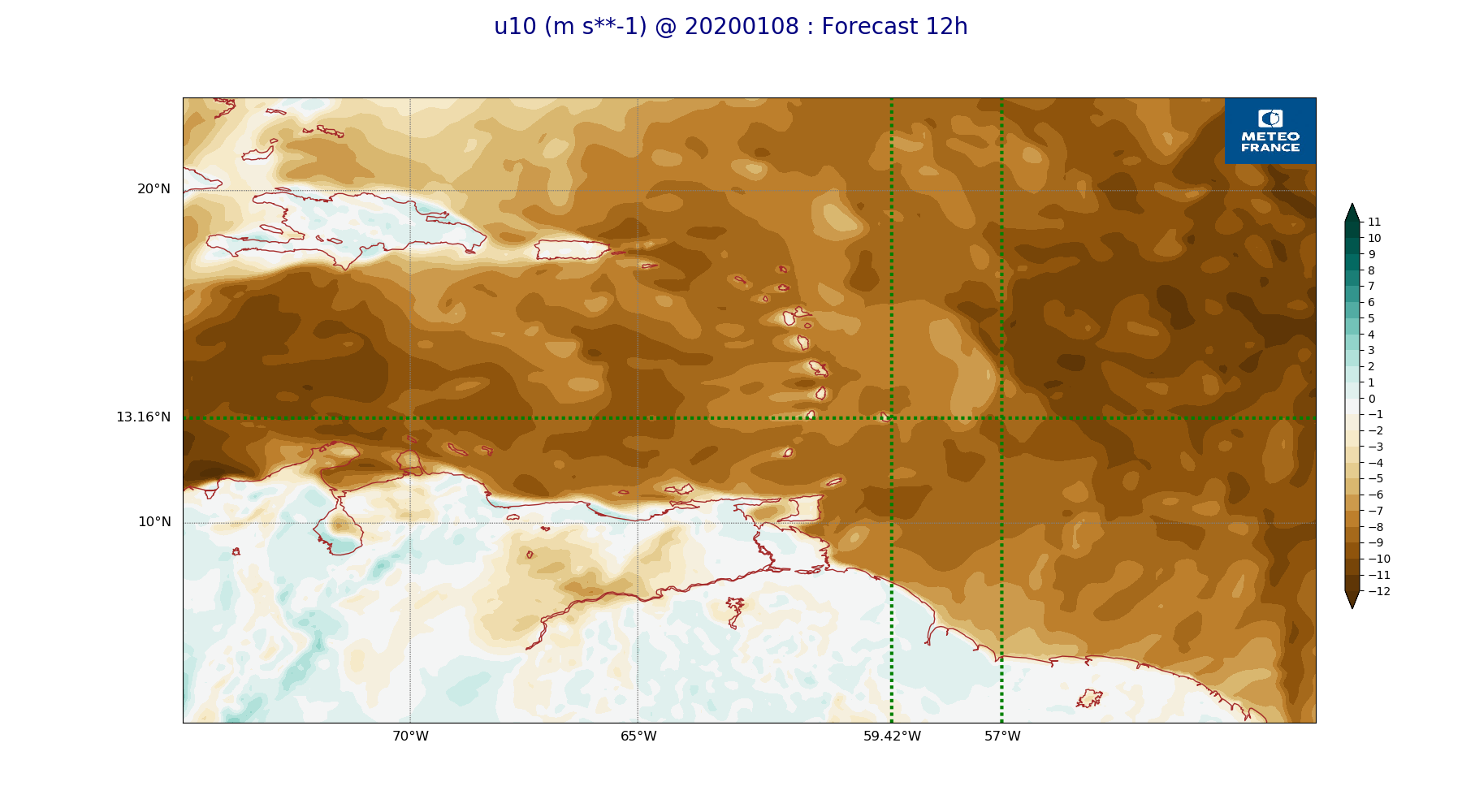
ARPEGE_map2D_u10_20200108_fct_0.png
2020-01-08 12:03
232K
ARPEGE_map2D_u10_20200108_fct_12.png
2020-01-08 12:03
245K
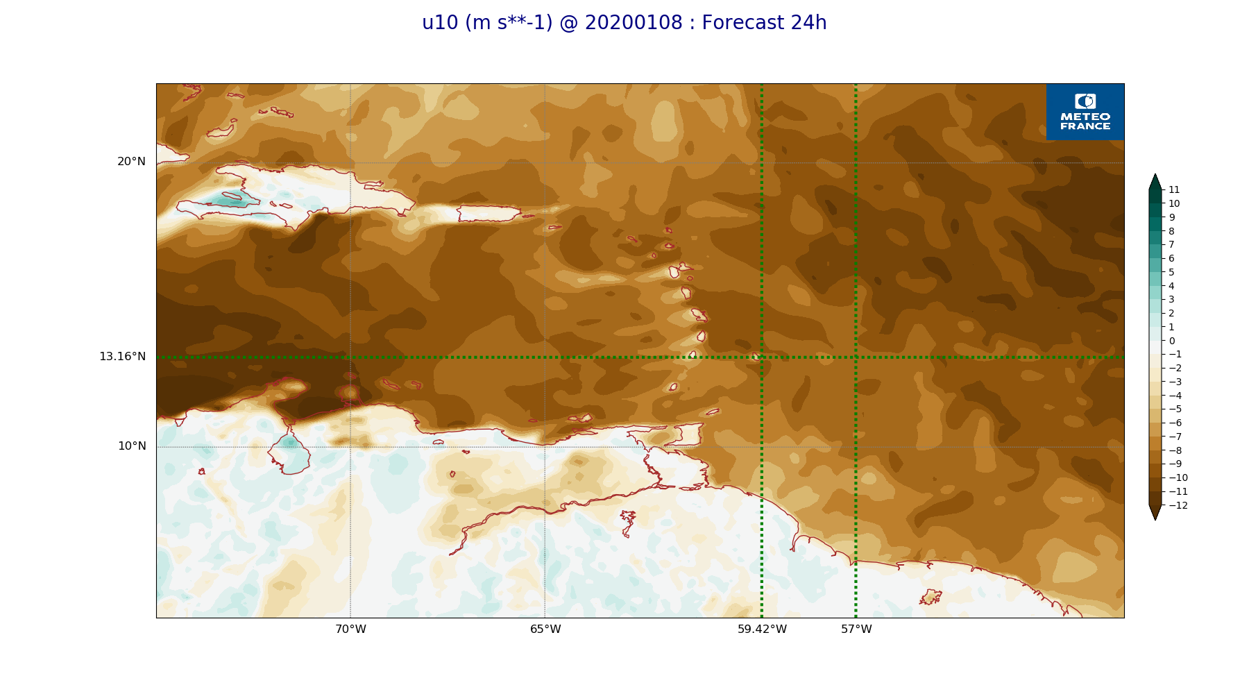
ARPEGE_map2D_u10_20200108_fct_24.png
2020-01-08 12:03
239K
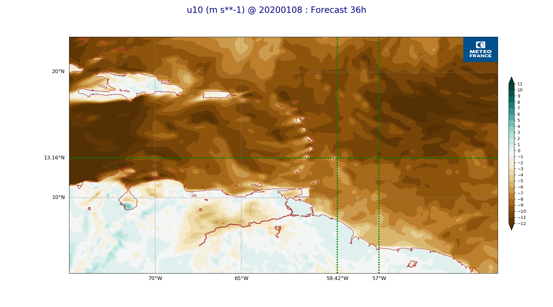
ARPEGE_map2D_u10_20200108_fct_36.png
2020-01-08 12:03
242K
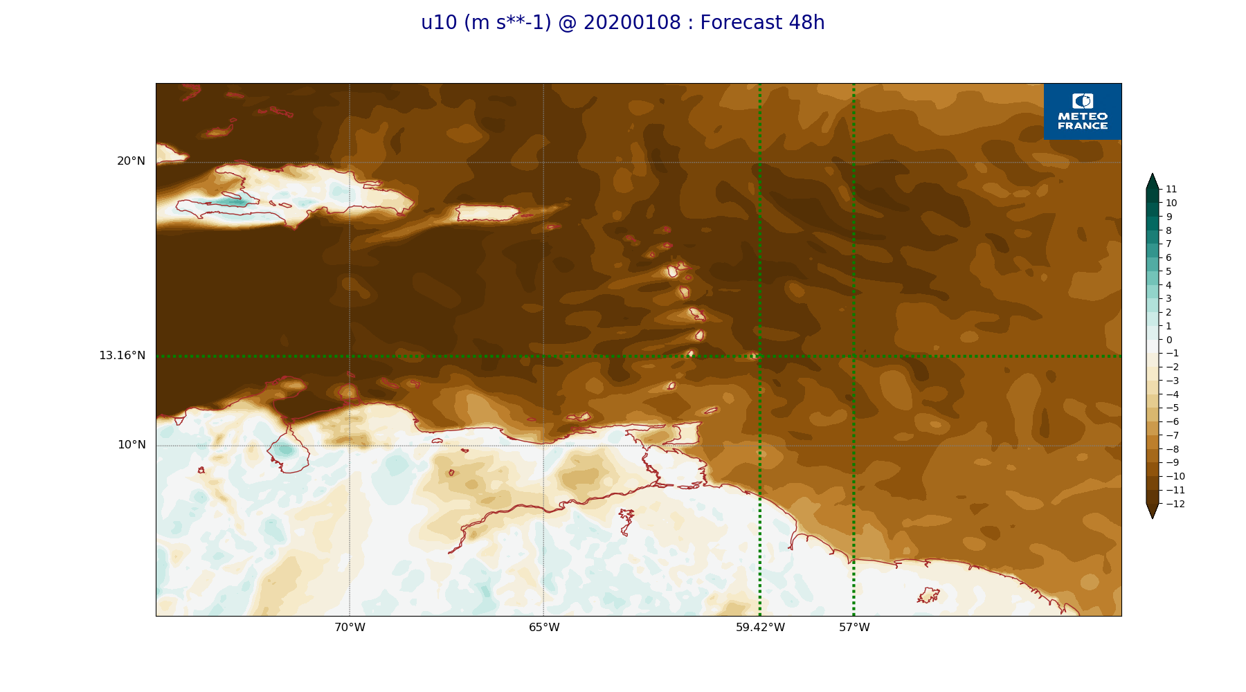
ARPEGE_map2D_u10_20200108_fct_48.png
2020-01-08 12:03
233K
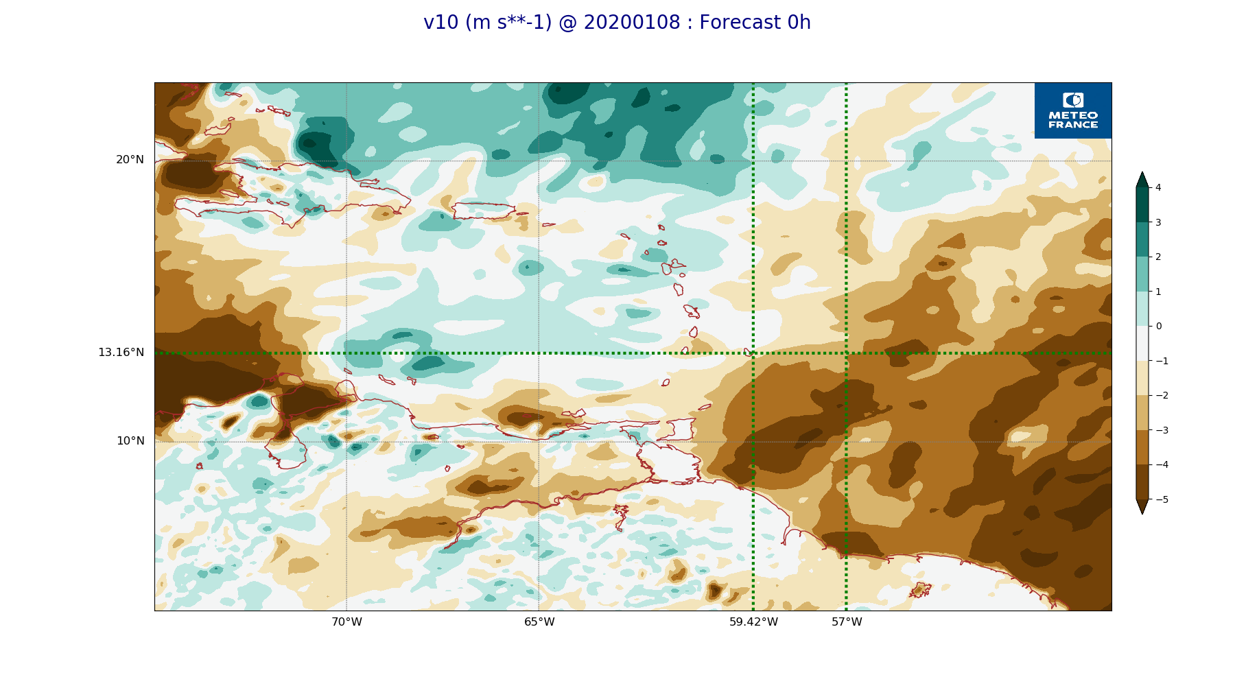
ARPEGE_map2D_v10_20200108_fct_0.png
2020-01-08 12:03
225K
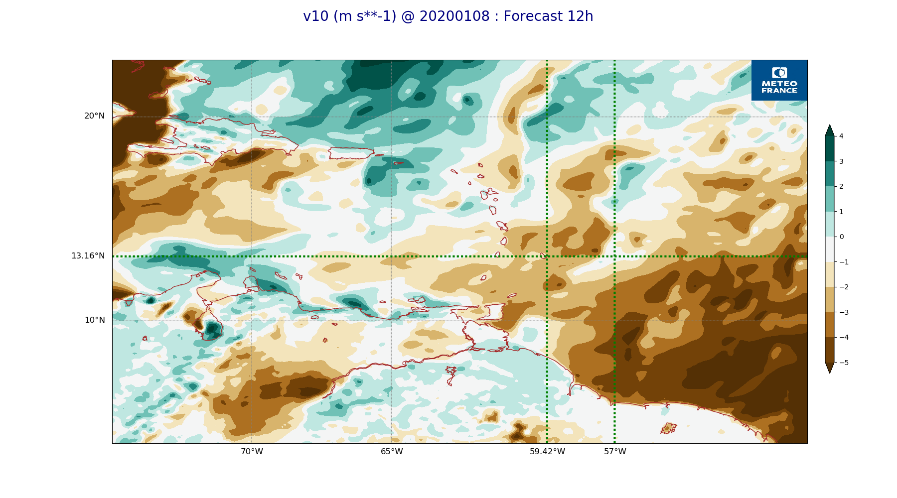
ARPEGE_map2D_v10_20200108_fct_12.png
2020-01-08 12:03
233K
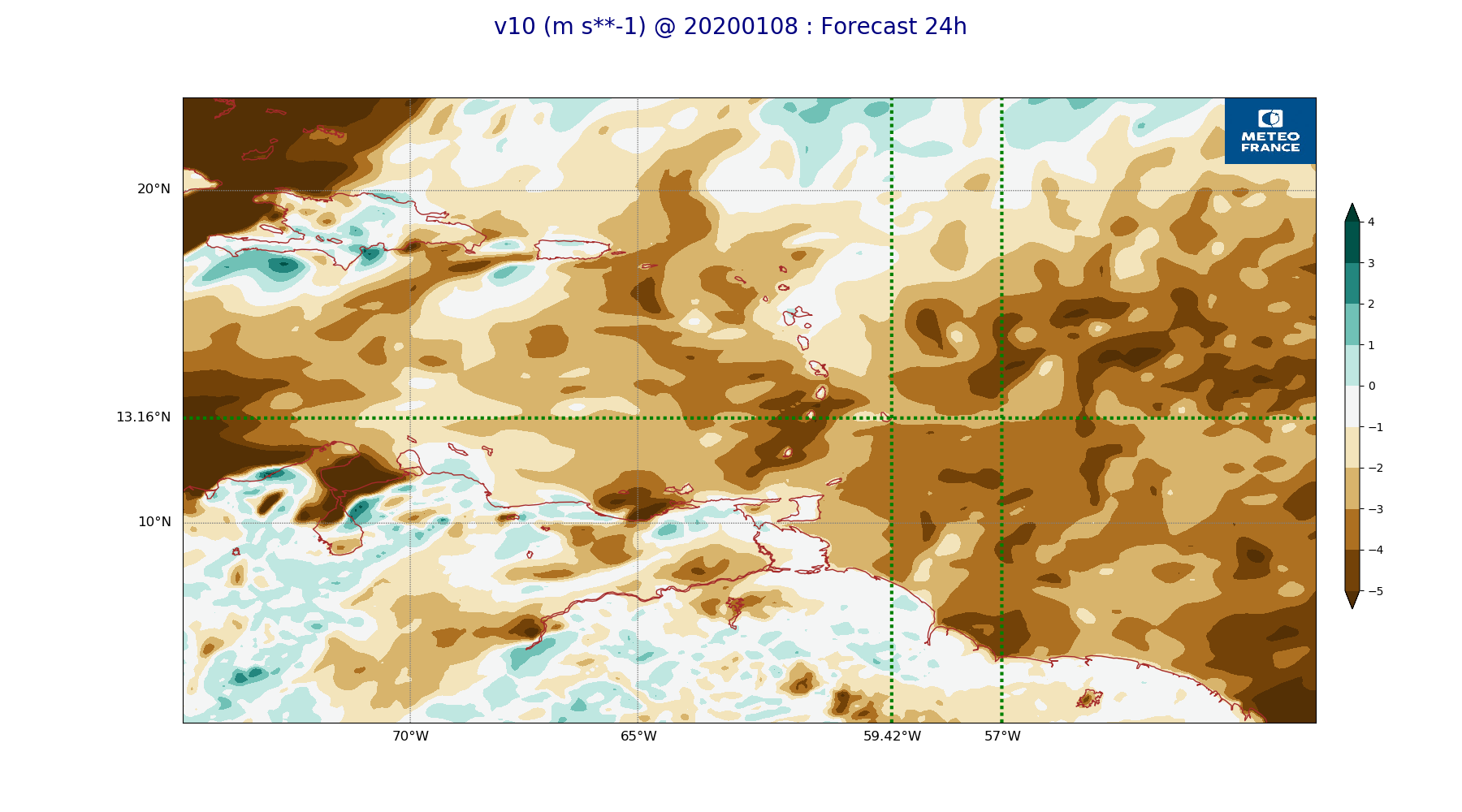
ARPEGE_map2D_v10_20200108_fct_24.png
2020-01-08 12:04
226K
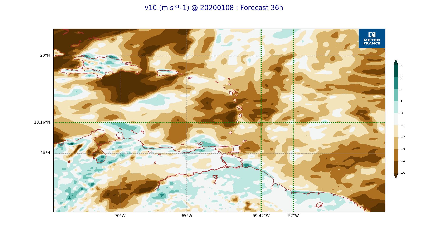
ARPEGE_map2D_v10_20200108_fct_36.png
2020-01-08 12:04
232K
ARPEGE_map2D_v10_20200108_fct_48.png
2020-01-08 12:04
225K