Index of /aeris/eurec4a-data/FORECASTS/GLOBAL/ARPEGE/2020/20200109/map2D
Name
Last modified
Size
Parent Directory
-
ARPEGE_map2D_LWP_20200109_fct_0.png
2020-01-09 12:06
141K
ARPEGE_map2D_LWP_20200109_fct_12.png
2020-01-09 12:06
141K
ARPEGE_map2D_LWP_20200109_fct_24.png
2020-01-09 12:07
142K
ARPEGE_map2D_LWP_20200109_fct_48.png
2020-01-09 12:07
142K
ARPEGE_map2D_LWP_20200109_fct_36.png
2020-01-09 12:07
142K
ARPEGE_map2D_Psfc_20200109_fct_0.png
2020-01-09 12:08
148K
ARPEGE_map2D_Psfc_20200109_fct_12.png
2020-01-09 12:08
148K
ARPEGE_map2D_Psfc_20200109_fct_24.png
2020-01-09 12:08
148K
ARPEGE_map2D_Cum_3h_RAIN_20200109_fct_0.png
2020-01-09 12:03
151K
ARPEGE_map2D_IWP_20200109_fct_0.png
2020-01-09 12:07
151K
ARPEGE_map2D_IWP_20200109_fct_12.png
2020-01-09 12:07
151K
ARPEGE_map2D_IWP_20200109_fct_24.png
2020-01-09 12:07
151K
ARPEGE_map2D_IWP_20200109_fct_48.png
2020-01-09 12:08
152K
ARPEGE_map2D_IWP_20200109_fct_36.png
2020-01-09 12:07
152K
ARPEGE_map2D_qv_500hPa_20200109_fct_0.png
2020-01-09 12:00
158K
ARPEGE_map2D_qv_500hPa_20200109_fct_12.png
2020-01-09 12:00
158K
ARPEGE_map2D_qv_500hPa_20200109_fct_24.png
2020-01-09 12:00
158K
ARPEGE_map2D_qv_500hPa_20200109_fct_48.png
2020-01-09 12:00
158K
ARPEGE_map2D_qv_500hPa_20200109_fct_36.png
2020-01-09 12:00
159K
ARPEGE_map2D_Fraction_cloud_cover_925hPa_20200109_fct_0.png
2020-01-09 11:57
161K
ARPEGE_map2D_Fraction_cloud_cover_200hPa_20200109_fct_0.png
2020-01-09 11:57
161K
ARPEGE_map2D_Fraction_cloud_cover_500hPa_20200109_fct_0.png
2020-01-09 11:57
161K
ARPEGE_map2D_Fraction_cloud_cover_850hPa_20200109_fct_0.png
2020-01-09 11:57
162K
ARPEGE_map2D_theta_500hPa_20200109_fct_0.png
2020-01-09 11:58
162K
ARPEGE_map2D_T_500hPa_20200109_fct_48.png
2020-01-09 11:59
164K
ARPEGE_map2D_T_500hPa_20200109_fct_24.png
2020-01-09 11:59
164K
ARPEGE_map2D_theta_500hPa_20200109_fct_12.png
2020-01-09 11:58
165K
ARPEGE_map2D_RH_500hPa_20200109_fct_24.png
2020-01-09 12:00
165K
ARPEGE_map2D_RH_500hPa_20200109_fct_48.png
2020-01-09 12:00
165K
ARPEGE_map2D_Fraction_cloud_cover_200hPa_20200109_fct_36.png
2020-01-09 11:58
165K
ARPEGE_map2D_theta_500hPa_20200109_fct_48.png
2020-01-09 11:59
165K
ARPEGE_map2D_theta_500hPa_20200109_fct_24.png
2020-01-09 11:58
165K
ARPEGE_map2D_T_500hPa_20200109_fct_36.png
2020-01-09 11:59
166K
ARPEGE_map2D_theta_500hPa_20200109_fct_36.png
2020-01-09 11:58
166K
ARPEGE_map2D_T_500hPa_20200109_fct_12.png
2020-01-09 11:59
167K
ARPEGE_map2D_RH_500hPa_20200109_fct_36.png
2020-01-09 12:00
167K
ARPEGE_map2D_Low_CC_inf_785hPa_20200109_fct_0.png
2020-01-09 12:01
168K
ARPEGE_map2D_RH_500hPa_20200109_fct_12.png
2020-01-09 11:59
168K
ARPEGE_map2D_High_CC_sup_450hPa_20200109_fct_0.png
2020-01-09 12:03
168K
ARPEGE_map2D_Mid_CC_785_450hPa_20200109_fct_0.png
2020-01-09 12:02
168K
ARPEGE_map2D_Fraction_cloud_cover_200hPa_20200109_fct_48.png
2020-01-09 11:58
169K
ARPEGE_map2D_T_500hPa_20200109_fct_0.png
2020-01-09 11:59
170K
ARPEGE_map2D_RH_500hPa_20200109_fct_0.png
2020-01-09 11:59
172K
ARPEGE_map2D_U_200hPa_20200109_fct_48.png
2020-01-09 11:57
175K
ARPEGE_map2D_T_850hPa_20200109_fct_36.png
2020-01-09 11:59
176K
ARPEGE_map2D_T_850hPa_20200109_fct_0.png
2020-01-09 11:59
176K
ARPEGE_map2D_theta_850hPa_20200109_fct_0.png
2020-01-09 11:58
176K
ARPEGE_map2D_T_850hPa_20200109_fct_48.png
2020-01-09 11:59
176K
ARPEGE_map2D_theta_850hPa_20200109_fct_24.png
2020-01-09 11:58
177K
ARPEGE_map2D_theta_925hPa_20200109_fct_48.png
2020-01-09 11:59
178K
ARPEGE_map2D_theta_850hPa_20200109_fct_48.png
2020-01-09 11:59
178K
ARPEGE_map2D_T_850hPa_20200109_fct_12.png
2020-01-09 11:59
178K
ARPEGE_map2D_Fraction_cloud_cover_200hPa_20200109_fct_24.png
2020-01-09 11:58
178K
ARPEGE_map2D_U_200hPa_20200109_fct_0.png
2020-01-09 11:56
179K
ARPEGE_map2D_Cum_3h_RAIN_20200109_fct_12.png
2020-01-09 12:04
179K
ARPEGE_map2D_Cum_3h_RAIN_20200109_fct_24.png
2020-01-09 12:04
180K
ARPEGE_map2D_T_925hPa_20200109_fct_48.png
2020-01-09 11:59
180K
ARPEGE_map2D_T_925hPa_20200109_fct_0.png
2020-01-09 11:59
180K
ARPEGE_map2D_Cum_3h_RAIN_20200109_fct_36.png
2020-01-09 12:04
181K
ARPEGE_map2D_U_200hPa_20200109_fct_12.png
2020-01-09 11:56
181K
ARPEGE_map2D_theta_925hPa_20200109_fct_24.png
2020-01-09 11:58
181K
ARPEGE_map2D_theta_850hPa_20200109_fct_36.png
2020-01-09 11:58
181K
ARPEGE_map2D_T_850hPa_20200109_fct_24.png
2020-01-09 11:59
181K
ARPEGE_map2D_Fraction_cloud_cover_200hPa_20200109_fct_12.png
2020-01-09 11:58
182K
ARPEGE_map2D_U_200hPa_20200109_fct_36.png
2020-01-09 11:56
183K
ARPEGE_map2D_U_200hPa_20200109_fct_24.png
2020-01-09 11:56
183K
ARPEGE_map2D_T_925hPa_20200109_fct_12.png
2020-01-09 11:59
183K
ARPEGE_map2D_theta_850hPa_20200109_fct_12.png
2020-01-09 11:58
183K
ARPEGE_map2D_T_925hPa_20200109_fct_24.png
2020-01-09 11:59
184K
ARPEGE_map2D_T_925hPa_20200109_fct_36.png
2020-01-09 11:59
185K
ARPEGE_map2D_theta_925hPa_20200109_fct_0.png
2020-01-09 11:58
185K
ARPEGE_map2D_theta_925hPa_20200109_fct_12.png
2020-01-09 11:58
186K
ARPEGE_map2D_theta_925hPa_20200109_fct_36.png
2020-01-09 11:58
187K
ARPEGE_map2D_U_500hPa_20200109_fct_48.png
2020-01-09 11:57
187K
ARPEGE_map2D_U_500hPa_20200109_fct_24.png
2020-01-09 11:56
188K
ARPEGE_map2D_U_500hPa_20200109_fct_0.png
2020-01-09 11:56
189K
ARPEGE_map2D_U_500hPa_20200109_fct_36.png
2020-01-09 11:56
189K
ARPEGE_map2D_U_500hPa_20200109_fct_12.png
2020-01-09 11:56
191K
ARPEGE_map2D_V_200hPa_20200109_fct_48.png
2020-01-09 11:57
193K
ARPEGE_map2D_V_200hPa_20200109_fct_36.png
2020-01-09 11:57
194K
ARPEGE_map2D_Fraction_cloud_cover_500hPa_20200109_fct_24.png
2020-01-09 11:58
197K
ARPEGE_map2D_V_200hPa_20200109_fct_24.png
2020-01-09 11:57
198K
ARPEGE_map2D_V_200hPa_20200109_fct_12.png
2020-01-09 11:57
202K
ARPEGE_map2D_U_925hPa_20200109_fct_0.png
2020-01-09 11:56
202K
ARPEGE_map2D_U_925hPa_20200109_fct_12.png
2020-01-09 11:56
203K
ARPEGE_map2D_U_925hPa_20200109_fct_48.png
2020-01-09 11:57
203K
ARPEGE_map2D_Fraction_cloud_cover_500hPa_20200109_fct_12.png
2020-01-09 11:58
204K
ARPEGE_map2D_Fraction_cloud_cover_500hPa_20200109_fct_48.png
2020-01-09 11:58
205K
ARPEGE_map2D_U_925hPa_20200109_fct_24.png
2020-01-09 11:56
206K
ARPEGE_map2D_U_925hPa_20200109_fct_36.png
2020-01-09 11:57
208K
ARPEGE_map2D_U_850hPa_20200109_fct_36.png
2020-01-09 11:56
208K
ARPEGE_map2D_U_850hPa_20200109_fct_12.png
2020-01-09 11:56
208K
ARPEGE_map2D_U_850hPa_20200109_fct_48.png
2020-01-09 11:57
209K
ARPEGE_map2D_U_850hPa_20200109_fct_24.png
2020-01-09 11:56
210K
ARPEGE_map2D_V_200hPa_20200109_fct_0.png
2020-01-09 11:57
210K
ARPEGE_map2D_Fraction_cloud_cover_500hPa_20200109_fct_36.png
2020-01-09 11:58
210K
ARPEGE_map2D_Cum_3h_RAIN_20200109_fct_48.png
2020-01-09 12:04
212K
ARPEGE_map2D_U_850hPa_20200109_fct_0.png
2020-01-09 11:56
212K
ARPEGE_map2D_Geopotential_0_7_PVU_20200109_fct_24.png
2020-01-09 12:01
212K
ARPEGE_map2D_V_500hPa_20200109_fct_48.png
2020-01-09 11:57
213K
ARPEGE_map2D_V_500hPa_20200109_fct_24.png
2020-01-09 11:57
214K
ARPEGE_map2D_V_500hPa_20200109_fct_36.png
2020-01-09 11:57
214K
ARPEGE_map2D_V_500hPa_20200109_fct_12.png
2020-01-09 11:57
215K
ARPEGE_map2D_Geopotential_0_7_PVU_20200109_fct_36.png
2020-01-09 12:01
216K
ARPEGE_map2D_V_500hPa_20200109_fct_0.png
2020-01-09 11:57
218K
ARPEGE_map2D_Geopotential_0_7_PVU_20200109_fct_12.png
2020-01-09 12:01
218K
ARPEGE_map2D_Geopotential_0_7_PVU_20200109_fct_0.png
2020-01-09 12:01
222K
ARPEGE_map2D_u10_20200109_fct_48.png
2020-01-09 12:05
223K
ARPEGE_map2D_v10_20200109_fct_0.png
2020-01-09 12:06
225K
ARPEGE_map2D_v10_20200109_fct_48.png
2020-01-09 12:06
226K
ARPEGE_map2D_v10_20200109_fct_24.png
2020-01-09 12:06
227K
ARPEGE_map2D_qv_925hPa_20200109_fct_48.png
2020-01-09 12:00
229K
ARPEGE_map2D_v10_20200109_fct_12.png
2020-01-09 12:06
231K
ARPEGE_map2D_v10_20200109_fct_36.png
2020-01-09 12:06
231K
ARPEGE_map2D_Geopotential_0_7_PVU_20200109_fct_48.png
2020-01-09 12:01
231K
ARPEGE_map2D_High_CC_sup_450hPa_20200109_fct_48.png
2020-01-09 12:03
232K
ARPEGE_map2D_High_CC_sup_450hPa_20200109_fct_24.png
2020-01-09 12:03
234K
ARPEGE_map2D_u10_20200109_fct_36.png
2020-01-09 12:05
234K
ARPEGE_map2D_u10_20200109_fct_24.png
2020-01-09 12:05
236K
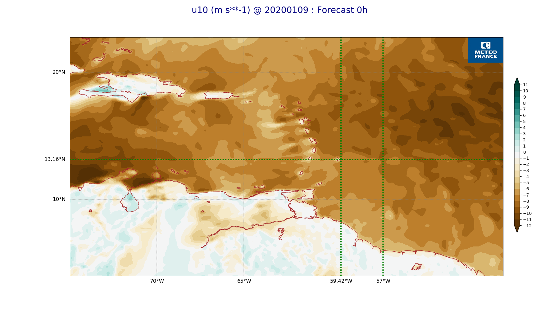
ARPEGE_map2D_u10_20200109_fct_0.png
2020-01-09 12:05
236K
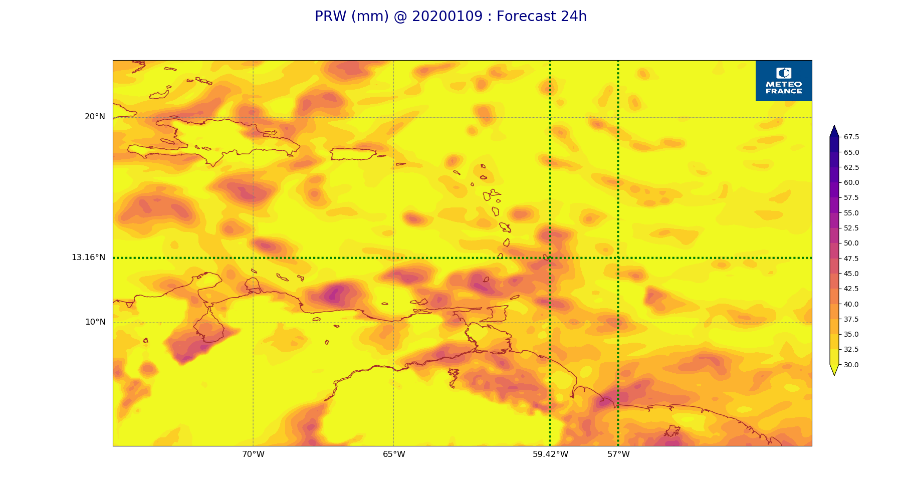
ARPEGE_map2D_PRW_20200109_fct_24.png
2020-01-09 12:04
238K
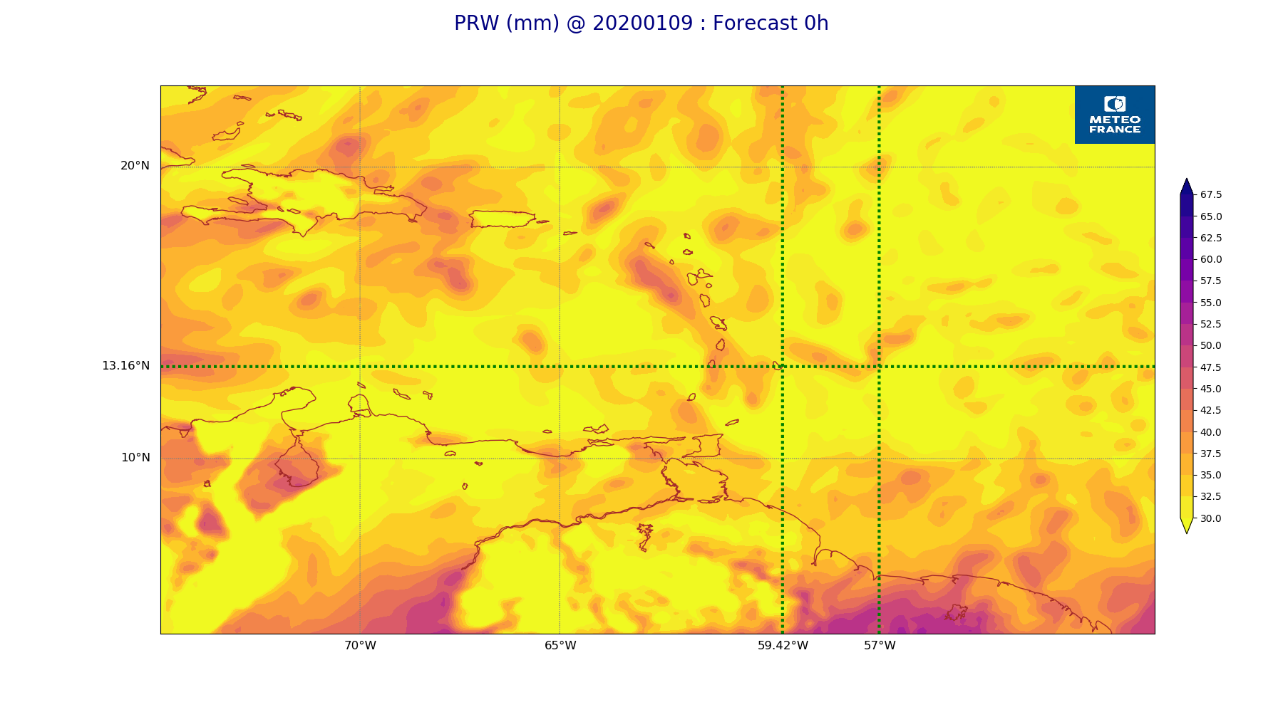
ARPEGE_map2D_PRW_20200109_fct_0.png
2020-01-09 12:04
238K
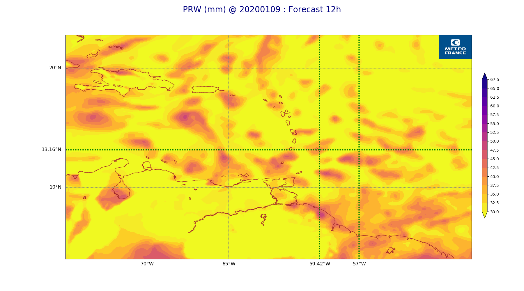
ARPEGE_map2D_PRW_20200109_fct_12.png
2020-01-09 12:04
238K
ARPEGE_map2D_Vertical_velocity_500hPa_20200109_fct_0.png
2020-01-09 11:55
239K
ARPEGE_map2D_qv_925hPa_20200109_fct_36.png
2020-01-09 12:00
240K
ARPEGE_map2D_PRW_20200109_fct_48.png
2020-01-09 12:05
242K
ARPEGE_map2D_u10_20200109_fct_12.png
2020-01-09 12:05
242K
ARPEGE_map2D_qv_925hPa_20200109_fct_24.png
2020-01-09 12:00
244K
ARPEGE_map2D_qv_925hPa_20200109_fct_12.png
2020-01-09 12:00
245K
ARPEGE_map2D_PRW_20200109_fct_36.png
2020-01-09 12:05
246K
ARPEGE_map2D_High_CC_sup_450hPa_20200109_fct_12.png
2020-01-09 12:03
248K
ARPEGE_map2D_qv_925hPa_20200109_fct_0.png
2020-01-09 12:00
251K
ARPEGE_map2D_High_CC_sup_450hPa_20200109_fct_36.png
2020-01-09 12:03
256K
ARPEGE_map2D_Vertical_velocity_500hPa_20200109_fct_24.png
2020-01-09 11:56
256K
ARPEGE_map2D_Vertical_velocity_500hPa_20200109_fct_12.png
2020-01-09 11:56
256K
ARPEGE_map2D_V_925hPa_20200109_fct_0.png
2020-01-09 11:57
258K
ARPEGE_map2D_RH_700hPa_20200109_fct_0.png
2020-01-09 11:59
258K
ARPEGE_map2D_Vertical_velocity_500hPa_20200109_fct_48.png
2020-01-09 11:56
258K
ARPEGE_map2D_V_925hPa_20200109_fct_12.png
2020-01-09 11:57
259K
ARPEGE_map2D_V_925hPa_20200109_fct_24.png
2020-01-09 11:57
262K
ARPEGE_map2D_Vertical_velocity_500hPa_20200109_fct_36.png
2020-01-09 11:56
265K
ARPEGE_map2D_V_925hPa_20200109_fct_48.png
2020-01-09 11:57
266K
ARPEGE_map2D_V_925hPa_20200109_fct_36.png
2020-01-09 11:57
267K
ARPEGE_map2D_qv_850hPa_20200109_fct_0.png
2020-01-09 12:00
269K
ARPEGE_map2D_V_850hPa_20200109_fct_0.png
2020-01-09 11:57
270K
ARPEGE_map2D_qv_850hPa_20200109_fct_12.png
2020-01-09 12:00
272K
ARPEGE_map2D_V_850hPa_20200109_fct_12.png
2020-01-09 11:57
272K
ARPEGE_map2D_qv_850hPa_20200109_fct_24.png
2020-01-09 12:00
273K
ARPEGE_map2D_qv_850hPa_20200109_fct_48.png
2020-01-09 12:00
275K
ARPEGE_map2D_qv_850hPa_20200109_fct_36.png
2020-01-09 12:00
278K
ARPEGE_map2D_V_850hPa_20200109_fct_24.png
2020-01-09 11:57
279K
ARPEGE_map2D_RH_700hPa_20200109_fct_12.png
2020-01-09 11:59
283K
ARPEGE_map2D_Vertical_velocity_700hPa_20200109_fct_0.png
2020-01-09 11:55
284K
ARPEGE_map2D_V_850hPa_20200109_fct_48.png
2020-01-09 11:57
285K
ARPEGE_map2D_V_850hPa_20200109_fct_36.png
2020-01-09 11:57
286K
ARPEGE_map2D_RH_700hPa_20200109_fct_48.png
2020-01-09 12:00
297K
ARPEGE_map2D_RH_700hPa_20200109_fct_24.png
2020-01-09 12:00
302K
ARPEGE_map2D_RH_700hPa_20200109_fct_36.png
2020-01-09 12:00
309K
ARPEGE_map2D_Vertical_velocity_700hPa_20200109_fct_48.png
2020-01-09 11:56
311K
ARPEGE_map2D_RH_850hPa_20200109_fct_0.png
2020-01-09 11:59
323K
ARPEGE_map2D_Vertical_velocity_700hPa_20200109_fct_12.png
2020-01-09 11:56
325K
ARPEGE_map2D_RH_850hPa_20200109_fct_24.png
2020-01-09 11:59
326K
ARPEGE_map2D_Vertical_velocity_700hPa_20200109_fct_24.png
2020-01-09 11:56
328K
ARPEGE_map2D_RH_850hPa_20200109_fct_12.png
2020-01-09 11:59
331K
ARPEGE_map2D_RH_850hPa_20200109_fct_48.png
2020-01-09 12:00
334K
ARPEGE_map2D_Vertical_velocity_850hPa_20200109_fct_0.png
2020-01-09 11:56
335K
ARPEGE_map2D_Vertical_velocity_700hPa_20200109_fct_36.png
2020-01-09 11:56
337K
ARPEGE_map2D_RH_850hPa_20200109_fct_36.png
2020-01-09 12:00
340K
ARPEGE_map2D_Vertical_velocity_850hPa_20200109_fct_12.png
2020-01-09 11:56
350K
ARPEGE_map2D_Vertical_velocity_850hPa_20200109_fct_24.png
2020-01-09 11:56
353K
ARPEGE_map2D_Vertical_velocity_850hPa_20200109_fct_48.png
2020-01-09 11:56
359K
ARPEGE_map2D_Vertical_velocity_850hPa_20200109_fct_36.png
2020-01-09 11:56
360K
ARPEGE_map2D_Low_CC_inf_785hPa_20200109_fct_12.png
2020-01-09 12:01
474K
ARPEGE_map2D_Low_CC_inf_785hPa_20200109_fct_24.png
2020-01-09 12:02
479K
ARPEGE_map2D_Mid_CC_785_450hPa_20200109_fct_12.png
2020-01-09 12:02
493K
ARPEGE_map2D_Low_CC_inf_785hPa_20200109_fct_48.png
2020-01-09 12:02
511K
ARPEGE_map2D_Low_CC_inf_785hPa_20200109_fct_36.png
2020-01-09 12:02
525K
ARPEGE_map2D_Mid_CC_785_450hPa_20200109_fct_36.png
2020-01-09 12:02
531K
ARPEGE_map2D_Mid_CC_785_450hPa_20200109_fct_24.png
2020-01-09 12:02
539K
ARPEGE_map2D_Mid_CC_785_450hPa_20200109_fct_48.png
2020-01-09 12:03
581K
ARPEGE_map2D_Fraction_cloud_cover_925hPa_20200109_fct_48.png
2020-01-09 11:58
600K
ARPEGE_map2D_Fraction_cloud_cover_925hPa_20200109_fct_36.png
2020-01-09 11:58
621K
ARPEGE_map2D_Fraction_cloud_cover_850hPa_20200109_fct_36.png
2020-01-09 11:58
641K
ARPEGE_map2D_Fraction_cloud_cover_925hPa_20200109_fct_24.png
2020-01-09 11:58
648K
ARPEGE_map2D_Fraction_cloud_cover_850hPa_20200109_fct_12.png
2020-01-09 11:58
662K
ARPEGE_map2D_Fraction_cloud_cover_925hPa_20200109_fct_12.png
2020-01-09 11:58
688K
ARPEGE_map2D_Fraction_cloud_cover_850hPa_20200109_fct_48.png
2020-01-09 11:58
719K
ARPEGE_map2D_Fraction_cloud_cover_850hPa_20200109_fct_24.png
2020-01-09 11:58
731K