Index of /aeris/eurec4a-data/FORECASTS/GLOBAL/ARPEGE/2020/20200111/map2D
Name
Last modified
Size
Parent Directory
-
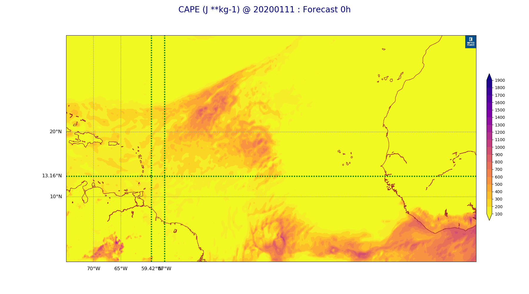
ARPEGE_map2D_CAPE_20200111_fct_0.png
2020-01-11 12:08
203K
ARPEGE_map2D_Cum_3h_RAIN_20200111_fct_0.png
2020-01-11 12:03
123K
ARPEGE_map2D_Cum_3h_RAIN_20200111_fct_12.png
2020-01-11 12:03
206K
ARPEGE_map2D_Cum_3h_RAIN_20200111_fct_24.png
2020-01-11 12:03
176K
ARPEGE_map2D_Cum_3h_RAIN_20200111_fct_36.png
2020-01-11 12:03
180K
ARPEGE_map2D_Cum_3h_RAIN_20200111_fct_48.png
2020-01-11 12:03
172K
ARPEGE_map2D_Fraction_cloud_cover_200hPa_20200111_fct_0.png
2020-01-11 11:56
133K
ARPEGE_map2D_Fraction_cloud_cover_200hPa_20200111_fct_12.png
2020-01-11 11:56
290K
ARPEGE_map2D_Fraction_cloud_cover_200hPa_20200111_fct_24.png
2020-01-11 11:56
309K
ARPEGE_map2D_Fraction_cloud_cover_200hPa_20200111_fct_36.png
2020-01-11 11:56
284K
ARPEGE_map2D_Fraction_cloud_cover_200hPa_20200111_fct_48.png
2020-01-11 11:56
261K
ARPEGE_map2D_Fraction_cloud_cover_500hPa_20200111_fct_0.png
2020-01-11 11:56
133K
ARPEGE_map2D_Fraction_cloud_cover_500hPa_20200111_fct_12.png
2020-01-11 11:56
426K
ARPEGE_map2D_Fraction_cloud_cover_500hPa_20200111_fct_24.png
2020-01-11 11:56
461K
ARPEGE_map2D_Fraction_cloud_cover_500hPa_20200111_fct_36.png
2020-01-11 11:56
447K
ARPEGE_map2D_Fraction_cloud_cover_500hPa_20200111_fct_48.png
2020-01-11 11:57
411K
ARPEGE_map2D_Fraction_cloud_cover_850hPa_20200111_fct_0.png
2020-01-11 11:56
133K
ARPEGE_map2D_Fraction_cloud_cover_850hPa_20200111_fct_12.png
2020-01-11 11:56
827K
ARPEGE_map2D_Fraction_cloud_cover_850hPa_20200111_fct_24.png
2020-01-11 11:56
837K
ARPEGE_map2D_Fraction_cloud_cover_850hPa_20200111_fct_36.png
2020-01-11 11:56
752K
ARPEGE_map2D_Fraction_cloud_cover_850hPa_20200111_fct_48.png
2020-01-11 11:57
765K
ARPEGE_map2D_Fraction_cloud_cover_925hPa_20200111_fct_0.png
2020-01-11 11:56
133K
ARPEGE_map2D_Fraction_cloud_cover_925hPa_20200111_fct_12.png
2020-01-11 11:56
1.0M
ARPEGE_map2D_Fraction_cloud_cover_925hPa_20200111_fct_24.png
2020-01-11 11:56
966K
ARPEGE_map2D_Fraction_cloud_cover_925hPa_20200111_fct_36.png
2020-01-11 11:56
939K
ARPEGE_map2D_Fraction_cloud_cover_925hPa_20200111_fct_48.png
2020-01-11 11:57
897K
ARPEGE_map2D_Geopotential_0_7_PVU_20200111_fct_0.png
2020-01-11 11:59
243K
ARPEGE_map2D_Geopotential_0_7_PVU_20200111_fct_12.png
2020-01-11 12:00
244K
ARPEGE_map2D_Geopotential_0_7_PVU_20200111_fct_24.png
2020-01-11 12:00
246K
ARPEGE_map2D_Geopotential_0_7_PVU_20200111_fct_36.png
2020-01-11 12:00
252K
ARPEGE_map2D_Geopotential_0_7_PVU_20200111_fct_48.png
2020-01-11 12:00
242K
ARPEGE_map2D_High_CC_sup_450hPa_20200111_fct_0.png
2020-01-11 12:02
140K
ARPEGE_map2D_High_CC_sup_450hPa_20200111_fct_12.png
2020-01-11 12:02
362K
ARPEGE_map2D_High_CC_sup_450hPa_20200111_fct_24.png
2020-01-11 12:02
378K
ARPEGE_map2D_High_CC_sup_450hPa_20200111_fct_36.png
2020-01-11 12:02
443K
ARPEGE_map2D_High_CC_sup_450hPa_20200111_fct_48.png
2020-01-11 12:03
434K
ARPEGE_map2D_IWP_20200111_fct_0.png
2020-01-11 12:07
123K
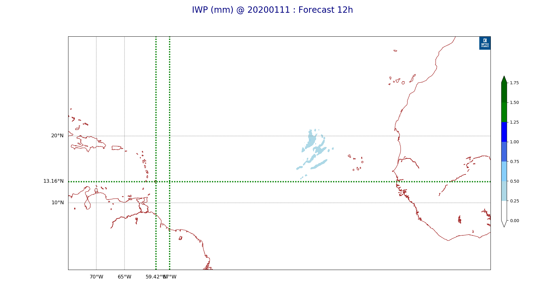
ARPEGE_map2D_IWP_20200111_fct_12.png
2020-01-11 12:07
125K
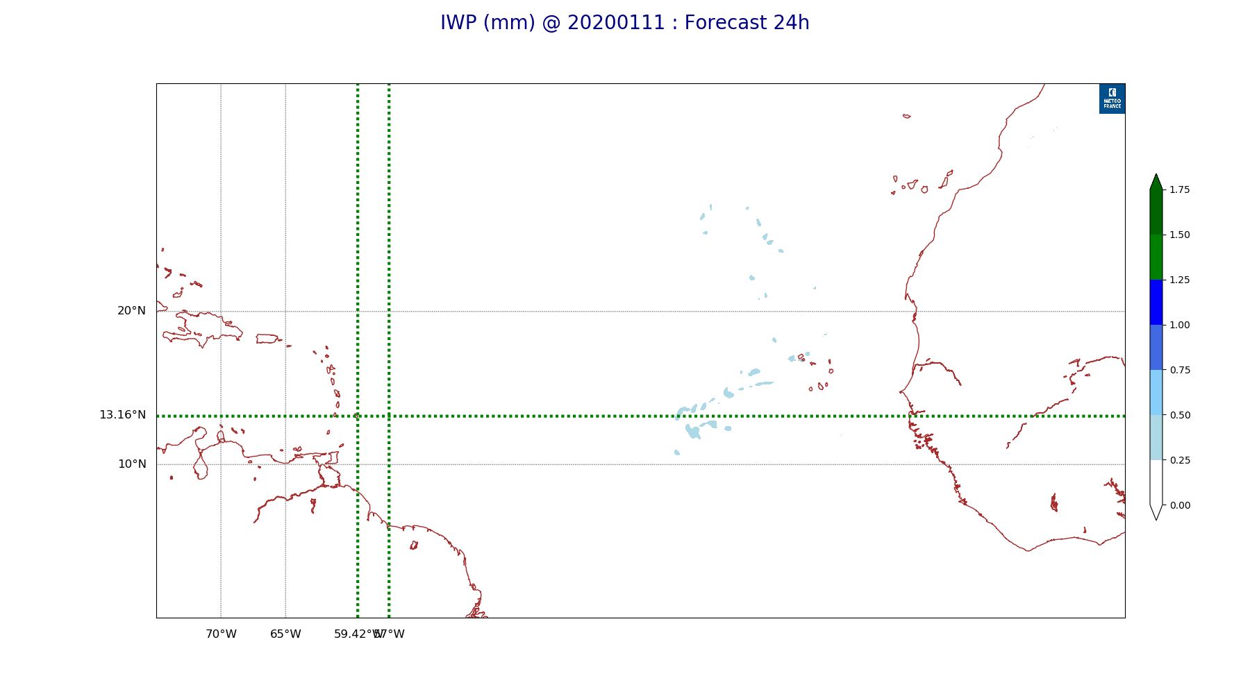
ARPEGE_map2D_IWP_20200111_fct_24.png
2020-01-11 12:07
125K
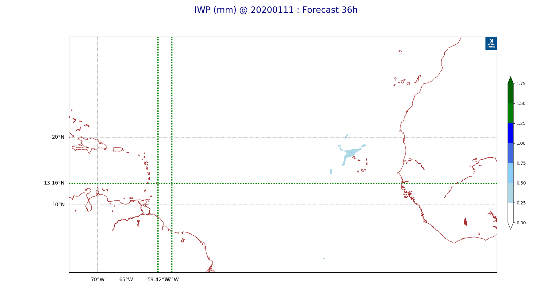
ARPEGE_map2D_IWP_20200111_fct_36.png
2020-01-11 12:07
124K
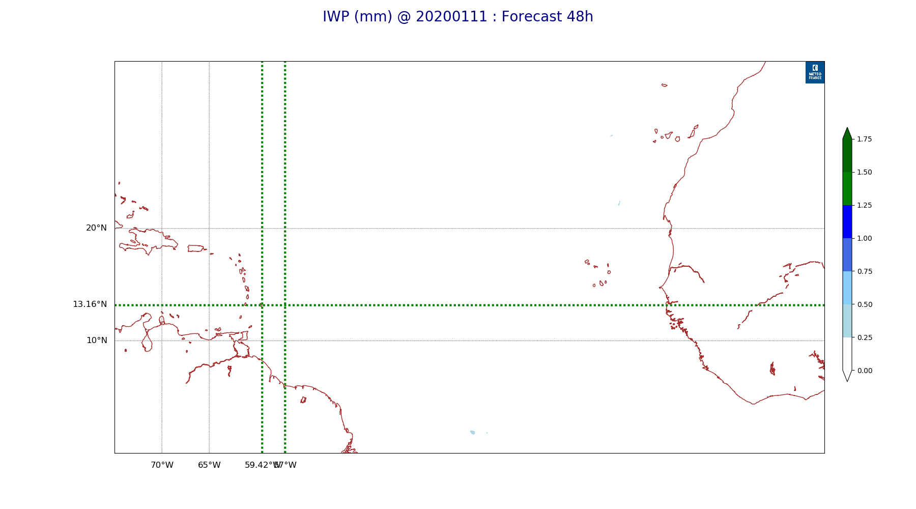
ARPEGE_map2D_IWP_20200111_fct_48.png
2020-01-11 12:07
124K
ARPEGE_map2D_LWP_20200111_fct_0.png
2020-01-11 12:06
115K
ARPEGE_map2D_LWP_20200111_fct_12.png
2020-01-11 12:06
115K
ARPEGE_map2D_LWP_20200111_fct_24.png
2020-01-11 12:06
116K
ARPEGE_map2D_LWP_20200111_fct_36.png
2020-01-11 12:06
116K
ARPEGE_map2D_LWP_20200111_fct_48.png
2020-01-11 12:06
116K
ARPEGE_map2D_Low_CC_inf_785hPa_20200111_fct_0.png
2020-01-11 12:00
140K
ARPEGE_map2D_Low_CC_inf_785hPa_20200111_fct_12.png
2020-01-11 12:00
665K
ARPEGE_map2D_Low_CC_inf_785hPa_20200111_fct_24.png
2020-01-11 12:01
647K
ARPEGE_map2D_Low_CC_inf_785hPa_20200111_fct_36.png
2020-01-11 12:01
658K
ARPEGE_map2D_Low_CC_inf_785hPa_20200111_fct_48.png
2020-01-11 12:01
617K
ARPEGE_map2D_Mid_CC_785_450hPa_20200111_fct_0.png
2020-01-11 12:01
140K
ARPEGE_map2D_Mid_CC_785_450hPa_20200111_fct_12.png
2020-01-11 12:01
620K
ARPEGE_map2D_Mid_CC_785_450hPa_20200111_fct_24.png
2020-01-11 12:01
642K
ARPEGE_map2D_Mid_CC_785_450hPa_20200111_fct_36.png
2020-01-11 12:02
586K
ARPEGE_map2D_Mid_CC_785_450hPa_20200111_fct_48.png
2020-01-11 12:02
593K
ARPEGE_map2D_PRW_20200111_fct_0.png
2020-01-11 12:03
208K
ARPEGE_map2D_PRW_20200111_fct_12.png
2020-01-11 12:04
210K
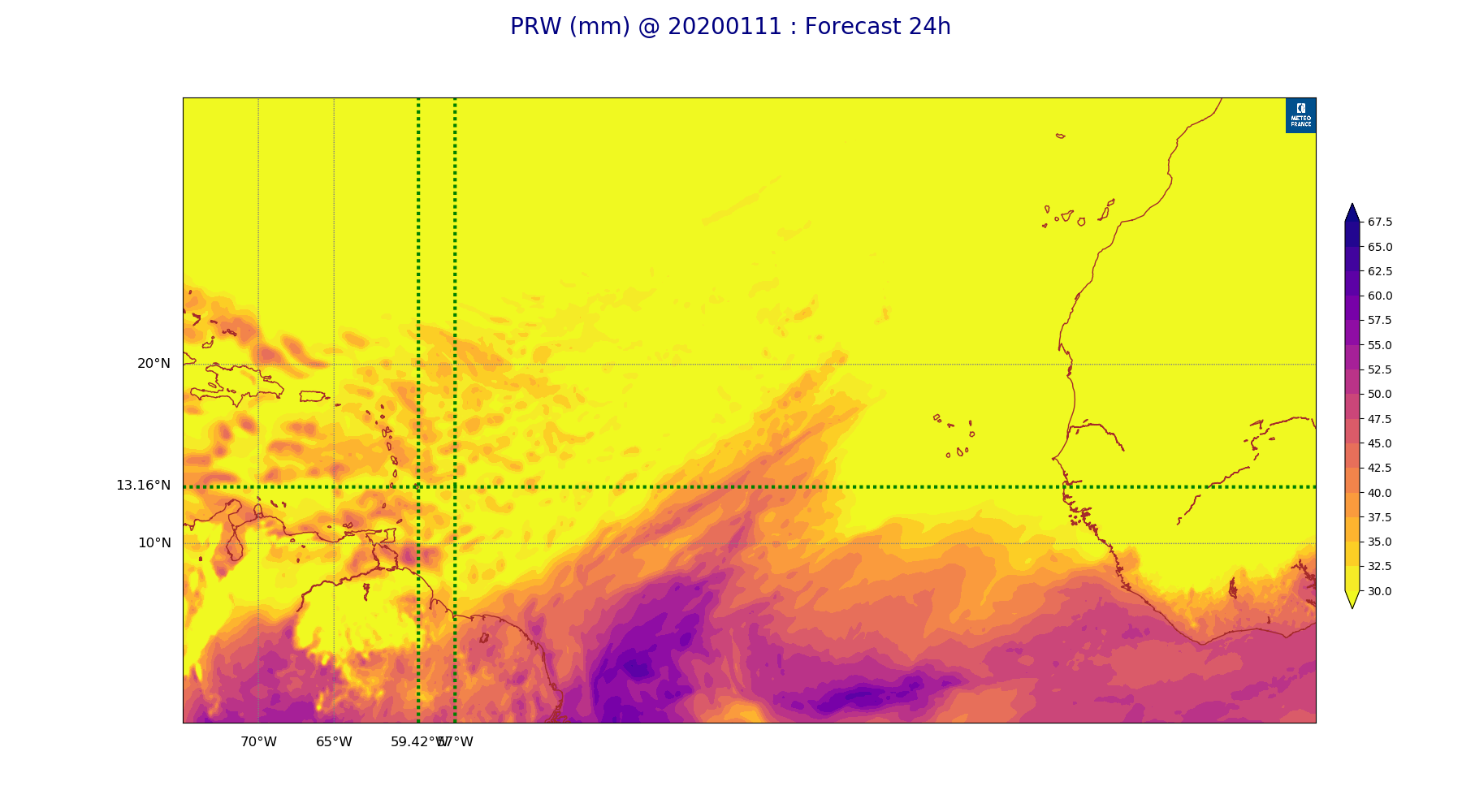
ARPEGE_map2D_PRW_20200111_fct_24.png
2020-01-11 12:04
209K
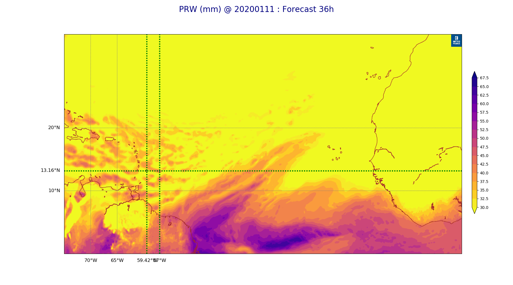
ARPEGE_map2D_PRW_20200111_fct_36.png
2020-01-11 12:04
207K
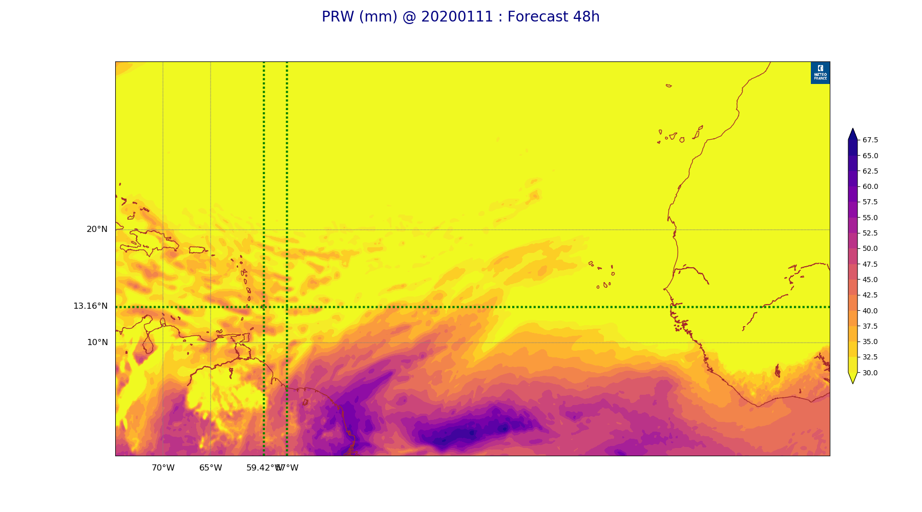
ARPEGE_map2D_PRW_20200111_fct_48.png
2020-01-11 12:04
204K
ARPEGE_map2D_Psfc_20200111_fct_0.png
2020-01-11 12:07
122K
ARPEGE_map2D_Psfc_20200111_fct_12.png
2020-01-11 12:08
122K
ARPEGE_map2D_Psfc_20200111_fct_24.png
2020-01-11 12:08
122K
ARPEGE_map2D_Psfc_20200111_fct_36.png
2020-01-11 12:08
122K
ARPEGE_map2D_Psfc_20200111_fct_48.png
2020-01-11 12:08
122K
ARPEGE_map2D_RH_500hPa_20200111_fct_0.png
2020-01-11 11:58
258K
ARPEGE_map2D_RH_500hPa_20200111_fct_12.png
2020-01-11 11:58
258K
ARPEGE_map2D_RH_500hPa_20200111_fct_24.png
2020-01-11 11:58
270K
ARPEGE_map2D_RH_500hPa_20200111_fct_36.png
2020-01-11 11:58
274K
ARPEGE_map2D_RH_500hPa_20200111_fct_48.png
2020-01-11 11:59
261K
ARPEGE_map2D_RH_700hPa_20200111_fct_0.png
2020-01-11 11:58
318K
ARPEGE_map2D_RH_700hPa_20200111_fct_12.png
2020-01-11 11:58
320K
ARPEGE_map2D_RH_700hPa_20200111_fct_24.png
2020-01-11 11:58
330K
ARPEGE_map2D_RH_700hPa_20200111_fct_36.png
2020-01-11 11:58
323K
ARPEGE_map2D_RH_700hPa_20200111_fct_48.png
2020-01-11 11:59
303K
ARPEGE_map2D_RH_850hPa_20200111_fct_0.png
2020-01-11 11:58
386K
ARPEGE_map2D_RH_850hPa_20200111_fct_12.png
2020-01-11 11:58
396K
ARPEGE_map2D_RH_850hPa_20200111_fct_24.png
2020-01-11 11:58
393K
ARPEGE_map2D_RH_850hPa_20200111_fct_36.png
2020-01-11 11:58
394K
ARPEGE_map2D_RH_850hPa_20200111_fct_48.png
2020-01-11 11:59
390K
ARPEGE_map2D_T_500hPa_20200111_fct_0.png
2020-01-11 11:57
168K
ARPEGE_map2D_T_500hPa_20200111_fct_12.png
2020-01-11 11:57
167K
ARPEGE_map2D_T_500hPa_20200111_fct_24.png
2020-01-11 11:57
168K
ARPEGE_map2D_T_500hPa_20200111_fct_36.png
2020-01-11 11:58
169K
ARPEGE_map2D_T_500hPa_20200111_fct_48.png
2020-01-11 11:58
163K
ARPEGE_map2D_T_850hPa_20200111_fct_0.png
2020-01-11 11:57
154K
ARPEGE_map2D_T_850hPa_20200111_fct_12.png
2020-01-11 11:57
157K
ARPEGE_map2D_T_850hPa_20200111_fct_24.png
2020-01-11 11:57
156K
ARPEGE_map2D_T_850hPa_20200111_fct_36.png
2020-01-11 11:58
152K
ARPEGE_map2D_T_850hPa_20200111_fct_48.png
2020-01-11 11:58
150K
ARPEGE_map2D_T_925hPa_20200111_fct_0.png
2020-01-11 11:57
161K
ARPEGE_map2D_T_925hPa_20200111_fct_12.png
2020-01-11 11:57
167K
ARPEGE_map2D_T_925hPa_20200111_fct_24.png
2020-01-11 11:58
165K
ARPEGE_map2D_T_925hPa_20200111_fct_36.png
2020-01-11 11:58
170K
ARPEGE_map2D_T_925hPa_20200111_fct_48.png
2020-01-11 11:58
164K
ARPEGE_map2D_U_200hPa_20200111_fct_0.png
2020-01-11 11:54
173K
ARPEGE_map2D_U_200hPa_20200111_fct_12.png
2020-01-11 11:54
169K
ARPEGE_map2D_U_200hPa_20200111_fct_24.png
2020-01-11 11:54
169K
ARPEGE_map2D_U_200hPa_20200111_fct_36.png
2020-01-11 11:55
166K
ARPEGE_map2D_U_200hPa_20200111_fct_48.png
2020-01-11 11:55
163K
ARPEGE_map2D_U_500hPa_20200111_fct_0.png
2020-01-11 11:54
216K
ARPEGE_map2D_U_500hPa_20200111_fct_12.png
2020-01-11 11:54
221K
ARPEGE_map2D_U_500hPa_20200111_fct_24.png
2020-01-11 11:55
223K
ARPEGE_map2D_U_500hPa_20200111_fct_36.png
2020-01-11 11:55
222K
ARPEGE_map2D_U_500hPa_20200111_fct_48.png
2020-01-11 11:55
216K
ARPEGE_map2D_U_850hPa_20200111_fct_0.png
2020-01-11 11:54
239K
ARPEGE_map2D_U_850hPa_20200111_fct_12.png
2020-01-11 11:54
243K
ARPEGE_map2D_U_850hPa_20200111_fct_24.png
2020-01-11 11:55
240K
ARPEGE_map2D_U_850hPa_20200111_fct_36.png
2020-01-11 11:55
238K
ARPEGE_map2D_U_850hPa_20200111_fct_48.png
2020-01-11 11:55
235K
ARPEGE_map2D_U_925hPa_20200111_fct_0.png
2020-01-11 11:54
224K
ARPEGE_map2D_U_925hPa_20200111_fct_12.png
2020-01-11 11:54
227K
ARPEGE_map2D_U_925hPa_20200111_fct_24.png
2020-01-11 11:55
227K
ARPEGE_map2D_U_925hPa_20200111_fct_36.png
2020-01-11 11:55
224K
ARPEGE_map2D_U_925hPa_20200111_fct_48.png
2020-01-11 11:55
224K
ARPEGE_map2D_V_200hPa_20200111_fct_0.png
2020-01-11 11:55
232K
ARPEGE_map2D_V_200hPa_20200111_fct_12.png
2020-01-11 11:55
243K
ARPEGE_map2D_V_200hPa_20200111_fct_24.png
2020-01-11 11:55
245K
ARPEGE_map2D_V_200hPa_20200111_fct_36.png
2020-01-11 11:55
246K
ARPEGE_map2D_V_200hPa_20200111_fct_48.png
2020-01-11 11:56
244K
ARPEGE_map2D_V_500hPa_20200111_fct_0.png
2020-01-11 11:55
269K
ARPEGE_map2D_V_500hPa_20200111_fct_12.png
2020-01-11 11:55
273K
ARPEGE_map2D_V_500hPa_20200111_fct_24.png
2020-01-11 11:55
279K
ARPEGE_map2D_V_500hPa_20200111_fct_36.png
2020-01-11 11:56
282K
ARPEGE_map2D_V_500hPa_20200111_fct_48.png
2020-01-11 11:56
277K
ARPEGE_map2D_V_850hPa_20200111_fct_0.png
2020-01-11 11:55
356K
ARPEGE_map2D_V_850hPa_20200111_fct_12.png
2020-01-11 11:55
355K
ARPEGE_map2D_V_850hPa_20200111_fct_24.png
2020-01-11 11:55
354K
ARPEGE_map2D_V_850hPa_20200111_fct_36.png
2020-01-11 11:56
343K
ARPEGE_map2D_V_850hPa_20200111_fct_48.png
2020-01-11 11:56
340K
ARPEGE_map2D_V_925hPa_20200111_fct_0.png
2020-01-11 11:55
322K
ARPEGE_map2D_V_925hPa_20200111_fct_12.png
2020-01-11 11:55
329K
ARPEGE_map2D_V_925hPa_20200111_fct_24.png
2020-01-11 11:55
332K
ARPEGE_map2D_V_925hPa_20200111_fct_36.png
2020-01-11 11:56
319K
ARPEGE_map2D_V_925hPa_20200111_fct_48.png
2020-01-11 11:56
318K
ARPEGE_map2D_Vertical_velocity_500hPa_20200111_fct_0.png
2020-01-11 11:54
330K
ARPEGE_map2D_Vertical_velocity_500hPa_20200111_fct_12.png
2020-01-11 11:54
343K
ARPEGE_map2D_Vertical_velocity_500hPa_20200111_fct_24.png
2020-01-11 11:54
349K
ARPEGE_map2D_Vertical_velocity_500hPa_20200111_fct_36.png
2020-01-11 11:54
342K
ARPEGE_map2D_Vertical_velocity_500hPa_20200111_fct_48.png
2020-01-11 11:54
334K
ARPEGE_map2D_Vertical_velocity_700hPa_20200111_fct_0.png
2020-01-11 11:54
376K
ARPEGE_map2D_Vertical_velocity_700hPa_20200111_fct_12.png
2020-01-11 11:54
383K
ARPEGE_map2D_Vertical_velocity_700hPa_20200111_fct_24.png
2020-01-11 11:54
388K
ARPEGE_map2D_Vertical_velocity_700hPa_20200111_fct_36.png
2020-01-11 11:54
374K
ARPEGE_map2D_Vertical_velocity_700hPa_20200111_fct_48.png
2020-01-11 11:54
367K
ARPEGE_map2D_Vertical_velocity_850hPa_20200111_fct_0.png
2020-01-11 11:54
426K
ARPEGE_map2D_Vertical_velocity_850hPa_20200111_fct_12.png
2020-01-11 11:54
434K
ARPEGE_map2D_Vertical_velocity_850hPa_20200111_fct_24.png
2020-01-11 11:54
444K
ARPEGE_map2D_Vertical_velocity_850hPa_20200111_fct_36.png
2020-01-11 11:54
422K
ARPEGE_map2D_Vertical_velocity_850hPa_20200111_fct_48.png
2020-01-11 11:54
418K
ARPEGE_map2D_qv_500hPa_20200111_fct_0.png
2020-01-11 11:59
133K
ARPEGE_map2D_qv_500hPa_20200111_fct_12.png
2020-01-11 11:59
133K
ARPEGE_map2D_qv_500hPa_20200111_fct_24.png
2020-01-11 11:59
133K
ARPEGE_map2D_qv_500hPa_20200111_fct_36.png
2020-01-11 11:59
133K
ARPEGE_map2D_qv_500hPa_20200111_fct_48.png
2020-01-11 11:59
134K
ARPEGE_map2D_qv_850hPa_20200111_fct_0.png
2020-01-11 11:59
254K
ARPEGE_map2D_qv_850hPa_20200111_fct_12.png
2020-01-11 11:59
261K
ARPEGE_map2D_qv_850hPa_20200111_fct_24.png
2020-01-11 11:59
257K
ARPEGE_map2D_qv_850hPa_20200111_fct_36.png
2020-01-11 11:59
257K
ARPEGE_map2D_qv_850hPa_20200111_fct_48.png
2020-01-11 11:59
254K
ARPEGE_map2D_qv_925hPa_20200111_fct_0.png
2020-01-11 11:59
250K
ARPEGE_map2D_qv_925hPa_20200111_fct_12.png
2020-01-11 11:59
263K
ARPEGE_map2D_qv_925hPa_20200111_fct_24.png
2020-01-11 11:59
261K
ARPEGE_map2D_qv_925hPa_20200111_fct_36.png
2020-01-11 11:59
265K
ARPEGE_map2D_qv_925hPa_20200111_fct_48.png
2020-01-11 11:59
256K
ARPEGE_map2D_theta_500hPa_20200111_fct_0.png
2020-01-11 11:57
169K
ARPEGE_map2D_theta_500hPa_20200111_fct_12.png
2020-01-11 11:57
167K
ARPEGE_map2D_theta_500hPa_20200111_fct_24.png
2020-01-11 11:57
167K
ARPEGE_map2D_theta_500hPa_20200111_fct_36.png
2020-01-11 11:57
167K
ARPEGE_map2D_theta_500hPa_20200111_fct_48.png
2020-01-11 11:57
164K
ARPEGE_map2D_theta_850hPa_20200111_fct_0.png
2020-01-11 11:57
162K
ARPEGE_map2D_theta_850hPa_20200111_fct_12.png
2020-01-11 11:57
166K
ARPEGE_map2D_theta_850hPa_20200111_fct_24.png
2020-01-11 11:57
160K
ARPEGE_map2D_theta_850hPa_20200111_fct_36.png
2020-01-11 11:57
160K
ARPEGE_map2D_theta_850hPa_20200111_fct_48.png
2020-01-11 11:57
158K
ARPEGE_map2D_theta_925hPa_20200111_fct_0.png
2020-01-11 11:57
161K
ARPEGE_map2D_theta_925hPa_20200111_fct_12.png
2020-01-11 11:57
164K
ARPEGE_map2D_theta_925hPa_20200111_fct_24.png
2020-01-11 11:57
162K
ARPEGE_map2D_theta_925hPa_20200111_fct_36.png
2020-01-11 11:57
169K
ARPEGE_map2D_theta_925hPa_20200111_fct_48.png
2020-01-11 11:57
160K
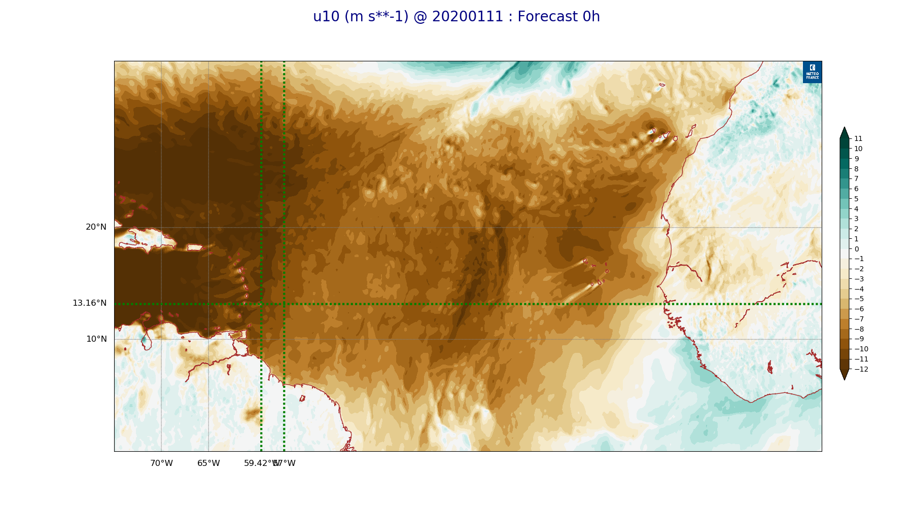
ARPEGE_map2D_u10_20200111_fct_0.png
2020-01-11 12:04
289K
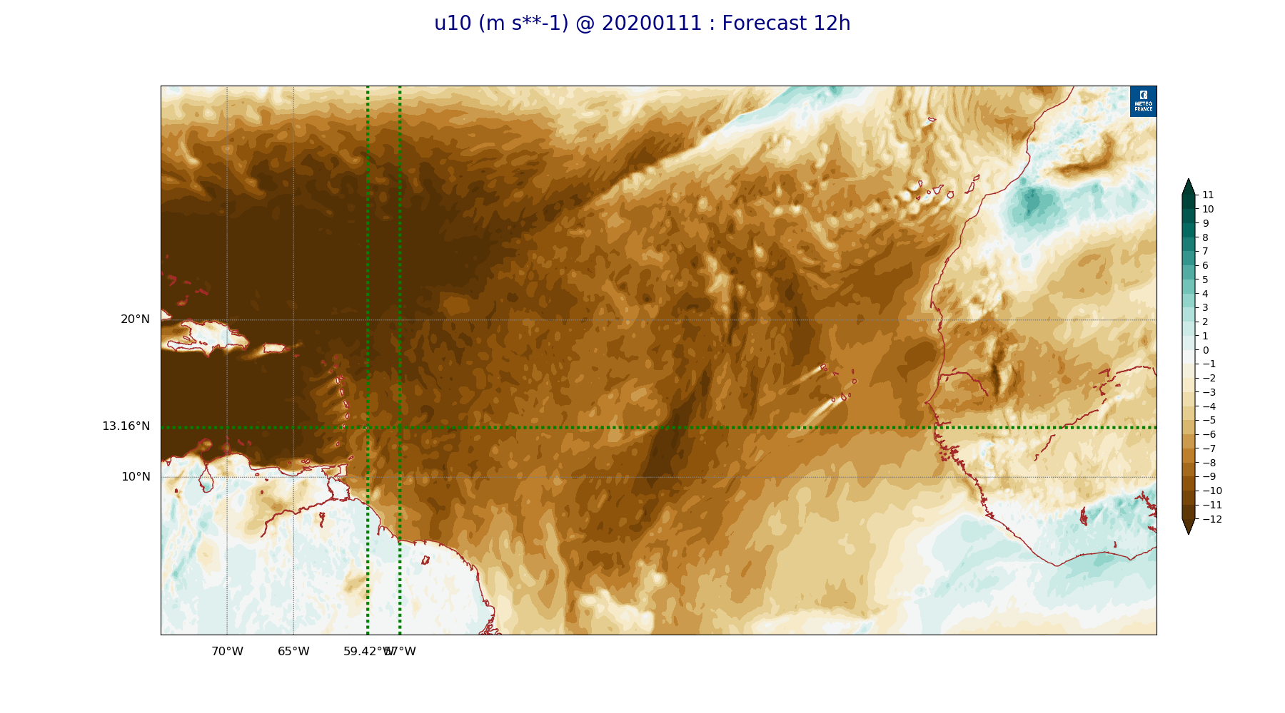
ARPEGE_map2D_u10_20200111_fct_12.png
2020-01-11 12:04
285K
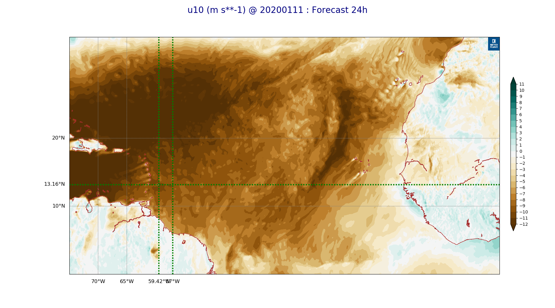
ARPEGE_map2D_u10_20200111_fct_24.png
2020-01-11 12:05
286K
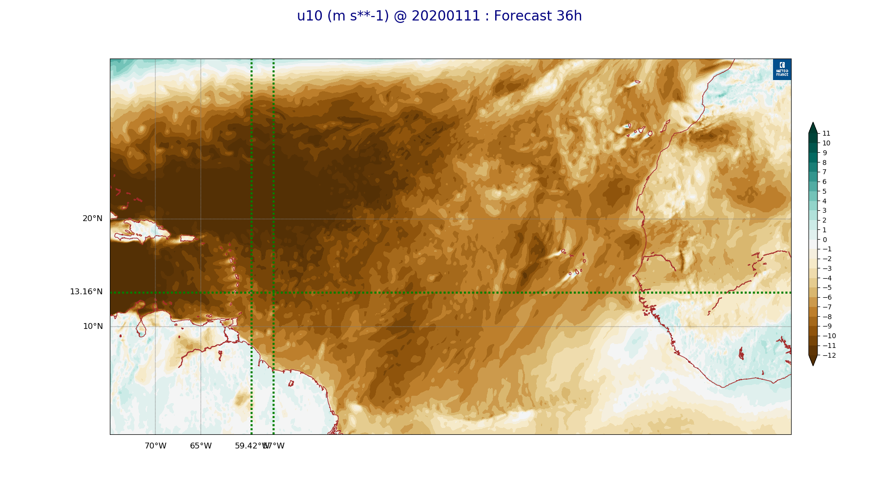
ARPEGE_map2D_u10_20200111_fct_36.png
2020-01-11 12:05
279K
ARPEGE_map2D_u10_20200111_fct_48.png
2020-01-11 12:05
277K
ARPEGE_map2D_v10_20200111_fct_0.png
2020-01-11 12:05
263K
ARPEGE_map2D_v10_20200111_fct_12.png
2020-01-11 12:05
263K
ARPEGE_map2D_v10_20200111_fct_24.png
2020-01-11 12:05
266K
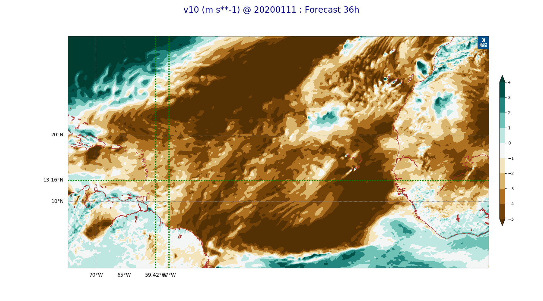
ARPEGE_map2D_v10_20200111_fct_36.png
2020-01-11 12:06
263K
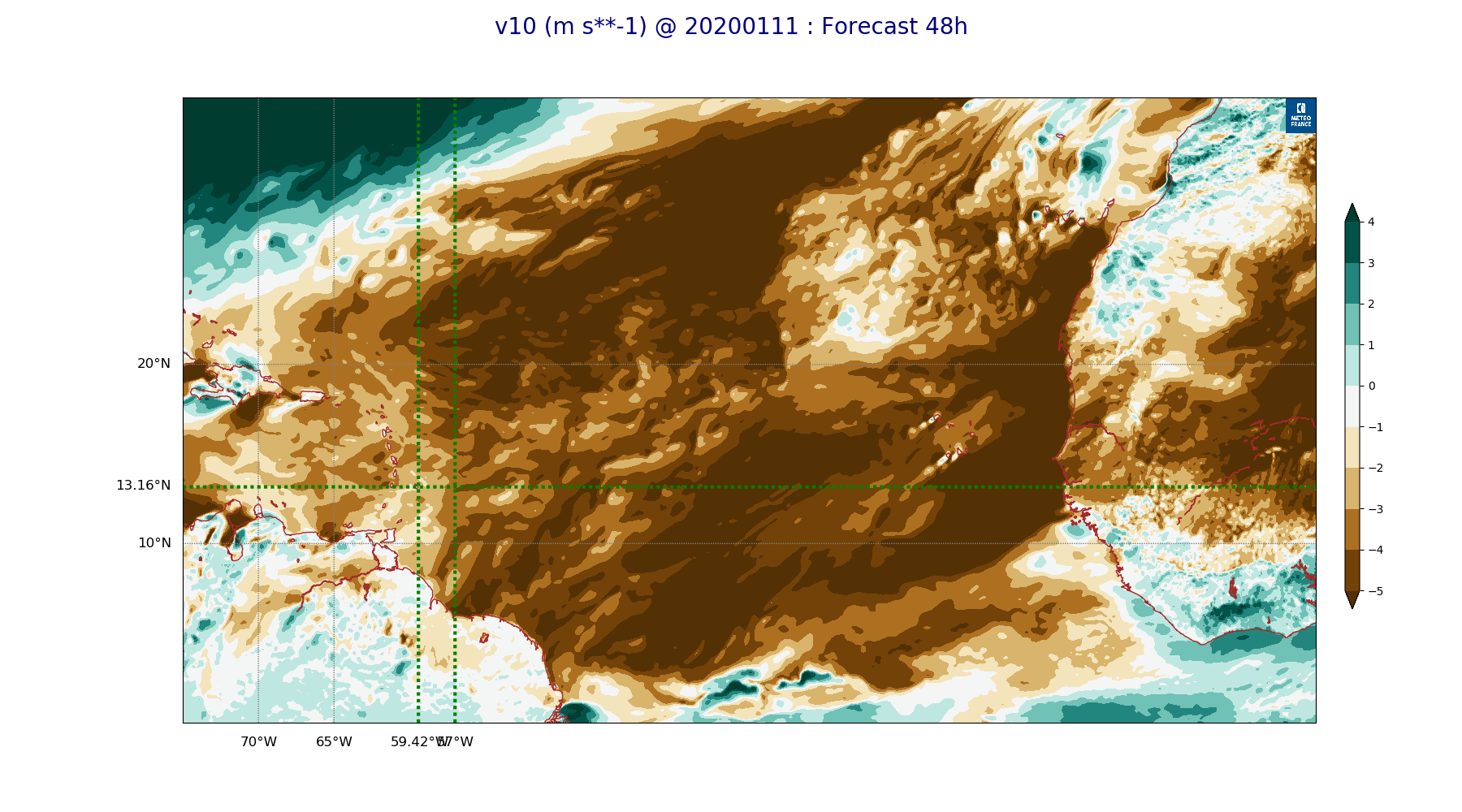
ARPEGE_map2D_v10_20200111_fct_48.png
2020-01-11 12:06
264K